Bazaruto Archipelago
Bazaruto Archipelago, Mozambique
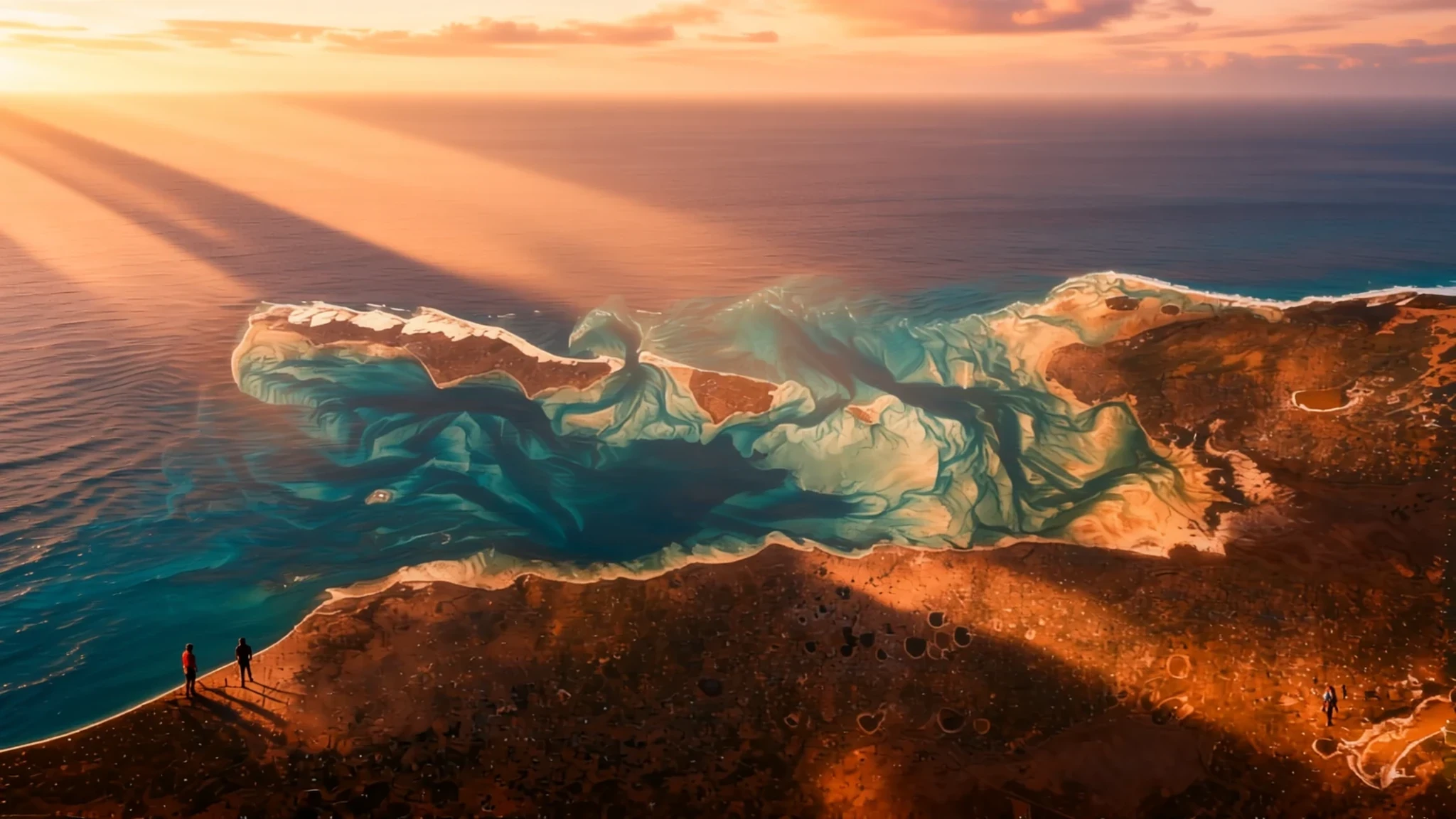
Go for a group of sandy islands and coral reefs off Mozambique, reached by a short boat trip from Vilankulo, where the water is the main attraction.
The place
The Bazaruto Archipelago is a group of six islands off the coast of Mozambique, reached from the mainland town of Vilankulo. The islands are Bazaruto, Benguerra, Magaruque, Santa Carolina and Bangué, and they lie within the Vilankulo and Inhassoro districts of Inhambane Province. The archipelago is a proclaimed marine national park, which shapes what visitors can do on the water and where they can anchor.
Most of the islands are sand, and the beach is the main event. Coral reefs lie close to the shore in many places, so snorkelling and diving are best planned around the tides and the wind rather than the calendar alone. Surfing and fishing are the other draws, and most visitors arrive on a day trip from Vilankulo or stay at a lodge on one of the islands.
Santa Carolina is the exception. It is a true rock island with deep channels rather than a sand bank, and it has three beaches with reef close inshore. It is regarded as the gem of the group and is sometimes called Paradise Island. It is small enough to walk across in a short time, which makes it a good first stop for anyone who has not seen a reef up close.
The mainland here is low-lying, with the Indian Ocean on one side and farming villages and bush on the other. Vilankulo is a working town with a market, a few eateries and a stretch of seafront, and it is the usual starting point for boats. The best days tend to be those spent on the water, with a long lunch in the shade afterwards.
Its story
The Bazaruto Archipelago is largely made of sand. Its islands were built from sand that the Save River deposited offshore, and the river has since shifted its course, so the sand's origin is a matter of geological history rather than of today's coastline. Most of the islands are low and sandy. Santa Carolina is the exception: it is a rock island cut by deep channels, which is why it looks and behaves differently from its neighbours.
A much older question comes from the written record. The 11th-century Egyptian Book of Curiosities includes a list of places along the East African coast that Egyptian merchants knew, and one of them is an island called Crocodile, given as Sūsmār in Persian. Speculation has linked that name with the Bazaruto Archipelago, though the match has not been proven. The entry shows that this coast was already part of the wider Indian Ocean trade network, connecting East Africa with the Arabian and Persian worlds.
In modern times the archipelago has been proclaimed a marine national park. That designation has shaped how the islands are used, with tourism, fishing and conservation all sharing the same water. The wider country has a more recent history of civil war, and sites connected with that conflict are found across Mozambique. The islands today are known mainly for their beaches and reefs, and the balance between visitors, fishing communities and the reef is an ongoing question.
What to see
- Santa Carolina — Vilanculos district, the archipelago
Santa Carolina is the rock island most visitors mean when they talk about the archipelago. It is regarded as the gem of the group, with deep channels and three beaches that have coral reef close to the shore. The island is small and easy to cover on foot, so it suits a half-day of swimming, snorkelling and time under the trees.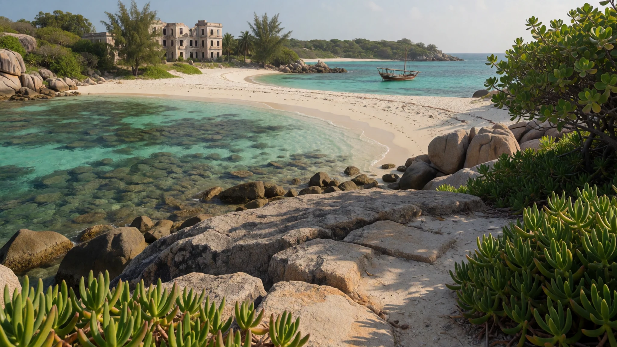
- Bazaruto Island — Vilanculos district, the archipelago
Bazaruto Island gives the archipelago its name, and its long sandy shoreline is where many boats land. The island suits unhurried beach walks, watching the tide change over the sand flats and looking out for seabirds. Stays here are generally at lodges, so book well ahead for the drier months.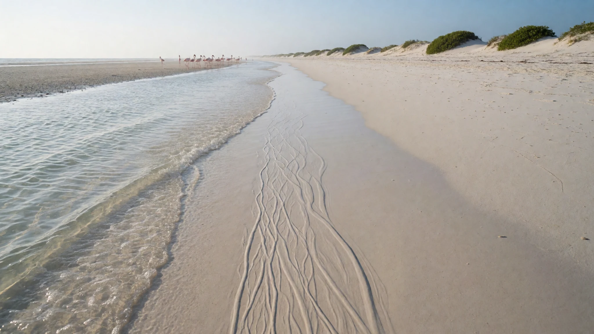
- Ilha de Moçambique — Nampula Province, northern mainland
Ilha de Moçambique, or Mozambique Island, lies off the northern coast of the mainland. It is a historic town with colonial architecture, and its stone buildings reflect centuries of Portuguese presence. Its streets are best explored on foot. It is a long journey from the islands, so most visitors treat it as a separate trip.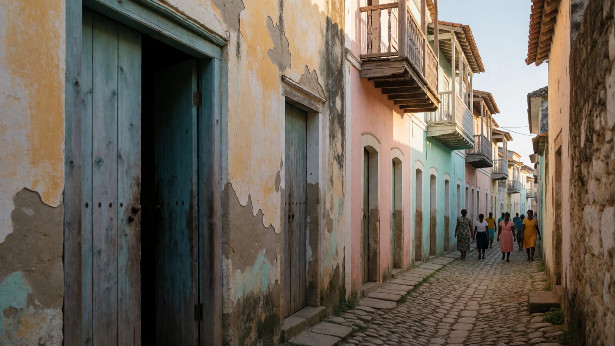
- Inhambane — Inhambane Province, mainland
Inhambane is a historic coastal town south of Vilankulo, with older colonial houses and a lively market. It works well as a stop on the road between the coast and the capital, Maputo. Its quieter streets suit a slow walk in the late afternoon, when the heat eases and the town comes back to life.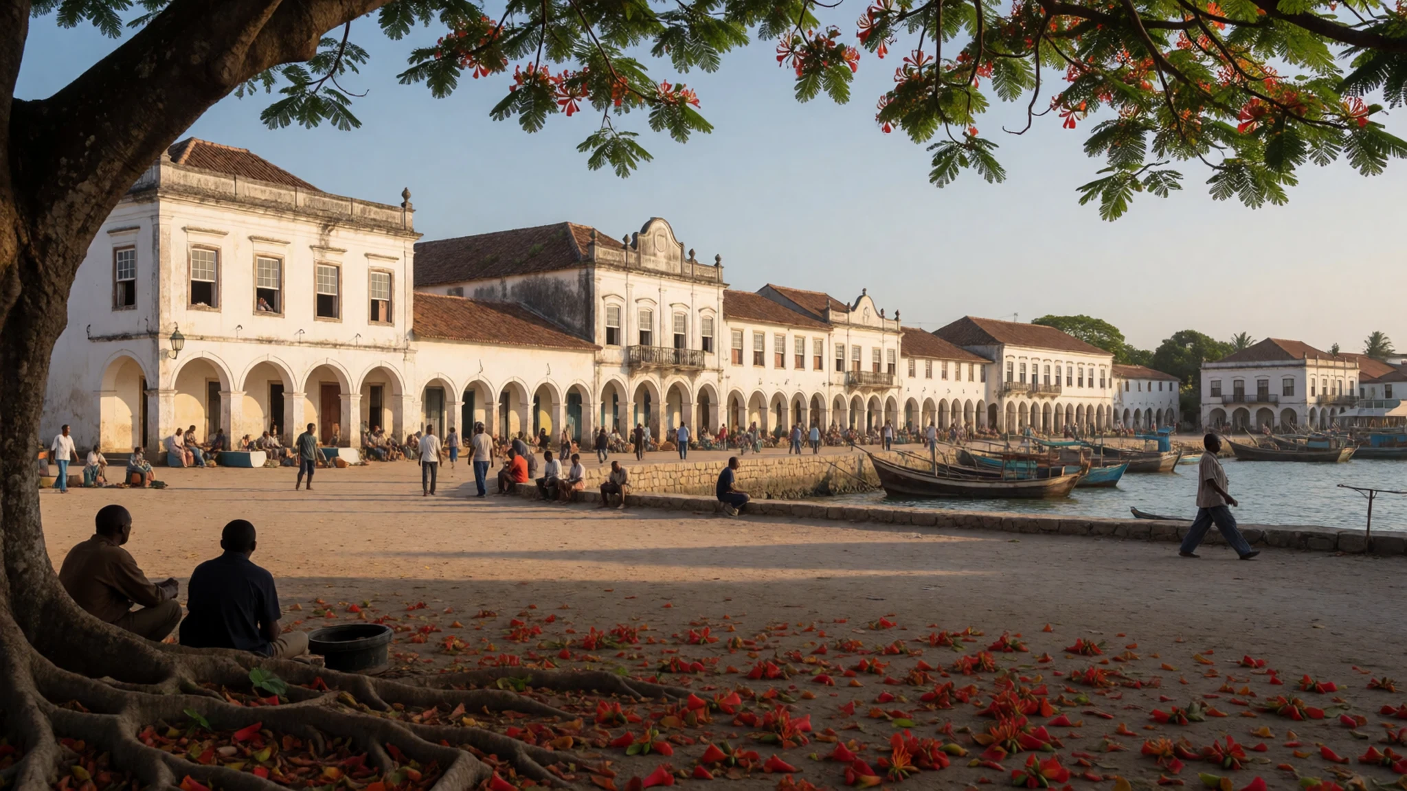
- Gorongosa National Park — Sofala Province, inland
Gorongosa National Park is a wildlife reserve inland from the coast, known for its mix of woodland, grassland and rivers. It is a long journey from the islands, so it is best considered as part of a wider trip through the country. Check the official site for current access and tours before planning.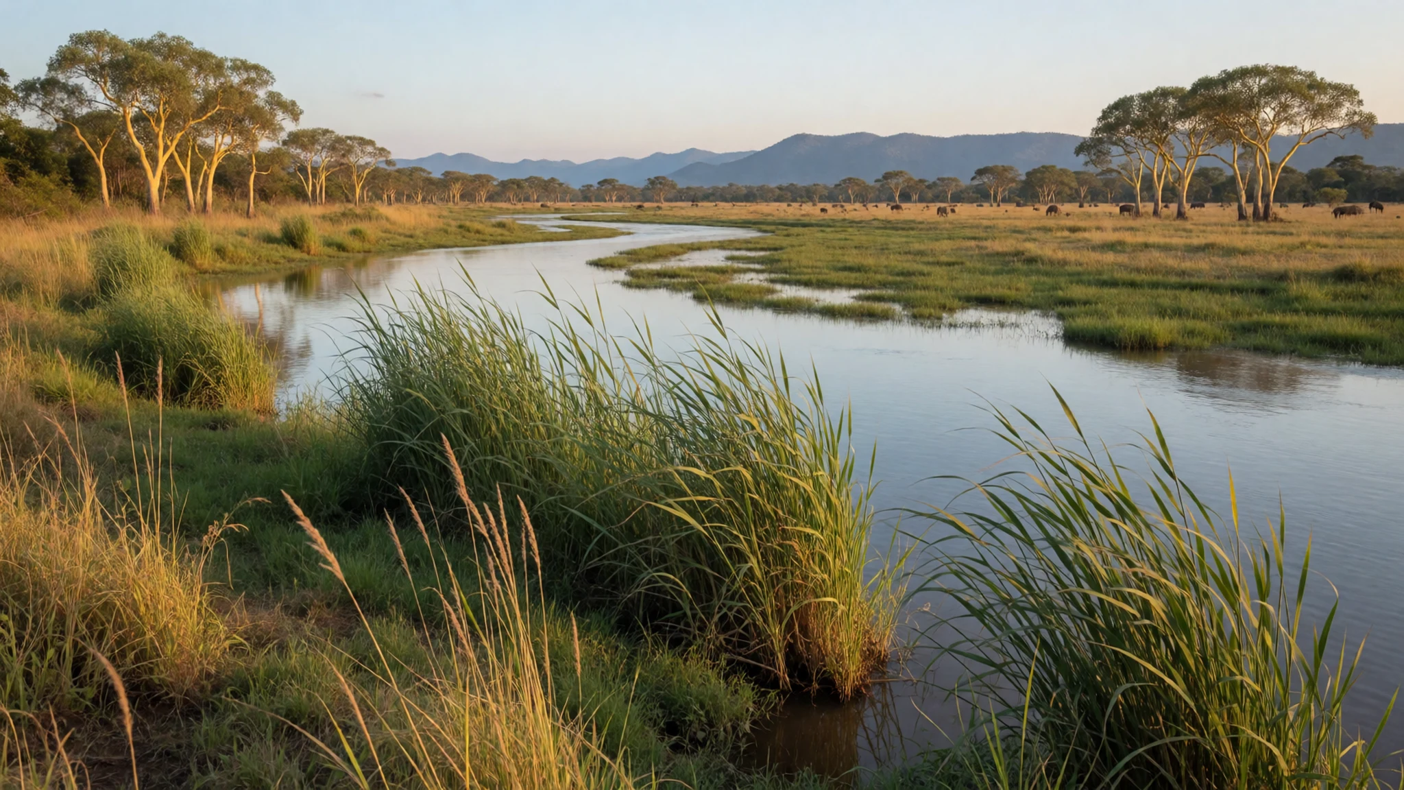
Culture
The Bazaruto Archipelago sits off a coast where most people's daily lives run on the mainland, and the islands are mostly reached by boat from Vilankulo. Portuguese is the official language, and a greeting in Portuguese before any question is well received in towns and villages. Many people on the coast earn a living from the sea, so the boats at Vilankulo's seafront are as likely to belong to fishers as to tour operators. Mozambicans are often warm and unhurried, and conversations in shops and markets tend to take longer than visitors expect. Because the archipelago is a proclaimed marine national park, reef walking, shell collecting and fishing are controlled, so ask your operator what is allowed before you go out. Ask before photographing people in villages or on the mainland, and leave shells, coral and other natural objects where you found them.
What to wear
Dress around the Bazaruto Archipelago and the Vilankulo coast follows the heat and the sea more than any single formal tradition. The traditional garment that matters most is the capulana, a printed cotton cloth that women wrap around the body as a skirt, a dress or a shawl, and sometimes use to carry a child. Capulanas come in bold repeating patterns and are sold by the metre in markets. Women also tie headwraps, often from the same printed cotton, for work and church. Men usually wear shirts and trousers. Now most people wear jeans, T-shirts and football shirts in town, while capulanas and headwraps remain everyday wear in markets and villages. For a visitor, loose cotton or linen in light colours handles the heat and the glare off the sand. Long sleeves or a rash shirt protect against sun on boats, and a hat is more useful than a fashion statement. Swimwear is fine on the beach and aboard boats, but cover up when walking through Vilankulo town or a village. Sandals work on sand, while reef shoes or water shoes are needed for coral and rocky shallows.
What to eat
- Piri-piri prawns (camarão) — Beach grills on the Vilankulo seafront and island lodge kitchens
Prawns marinated in piri-piri, garlic, onion, lemon and vinegar, then grilled over charcoal. The heat is sharp rather than sweet, so ask for a milder sauce on the side if you need one. Look for them at beach grills in Vilankulo and at island lodges.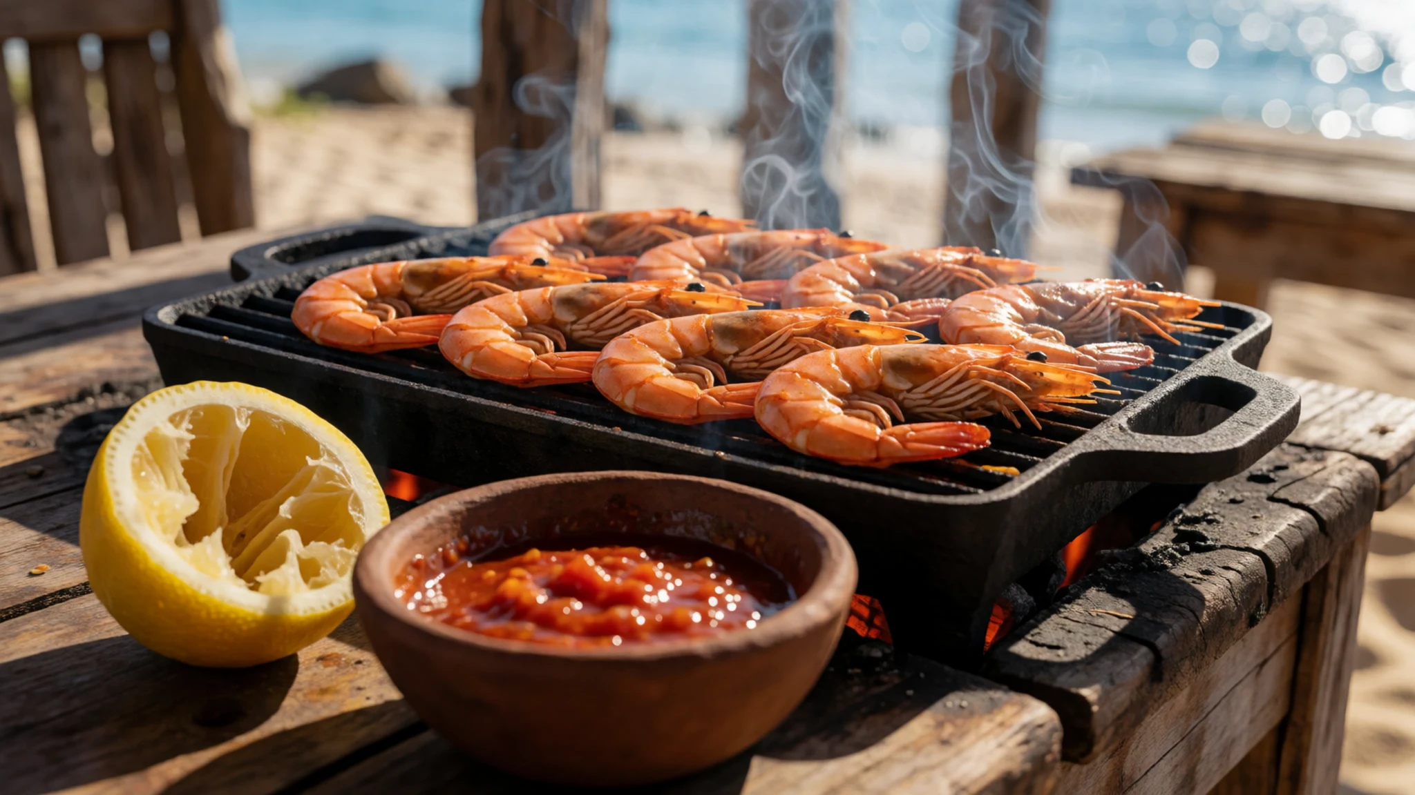
- Matapa — Local eateries near Vilankulo's market, and family kitchens in coastal villages
A stew of clams, crab or prawns cooked with cassava leaves, usually with coconut and peanut, and served over rice. It is one of the everyday staples of the coast, so it appears in home cooking more often than on menus.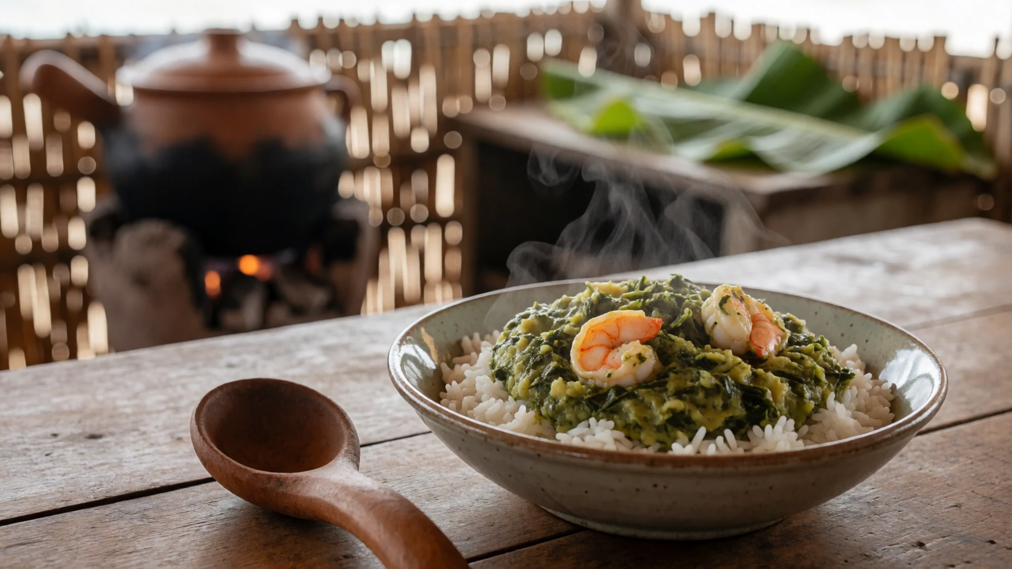
- Fresh crayfish — Vilankulo's seafront, where boats land their catch
Crayfish caught off the reefs and beaches, usually marinated in piri-piri and served with rice and matapa. It is best eaten the day it is landed, which is why the freshest plates tend to appear at the seafront where the boats come in. - Prego no pão — Bakeries and snack stalls in Vilankulo town, especially in the morning
A beef steak sandwich in a soft, slightly sweet Portuguese-style roll, a legacy of the colonial period. Bifana, the fried pork version, is the other common roll. Both are filling and easy to take on a boat.
Plan it
Best time. May to October, when the air is drier and the sea is usually calmer; November to April is hot and wet, with the risk of storms and heavy rain.
How long. 3–4
Getting there. Vilanculos Airport is the nearest airport to the islands. Flights from Maputo connect to it, and boats or lodge transfers run from the mainland to the islands.
Budget. mid
Tips
- Book boat transfers and lodge stays in advance for the drier months, when places fill quickly
- Go out early for calmer water and clearer views of the reef
- Carry Mozambican meticais in small notes, since foreign currency gets a poor rate and ATMs can fail
- Drink bottled or filtered water, because tap water is not safe to drink
- Pack reef shoes, a rash shirt and a hat, as shade on the sand is limited
- Check current marine park rules with your operator before snorkelling or fishing
Etiquette
- Do not take shells, coral or other natural objects from the park
- Ask before photographing people, especially in villages
- Keep beachwear for the beach and cover up in town
Nearby
Sources
- Wikidata Q2860206 (CC0)
- Wikipedia: Bazaruto Archipelago (rev 1363901835) (CC BY-SA 4.0)
- Wikivoyage: Mozambique (rev 5364242) (CC BY-SA 4.0)
- View of Mozambique taken during ISS Expedition 59 (Public domain)
- Santa Carolina Island Mozambique (CC BY 3.0)
- A boat on Bazaruto Island Mozambique (CC BY 3.0)
- View east towards a Bazaruto Archipelago island (Public domain)
- ISS-65 Bazaruto Archipelago, Mozambique (Public domain)
- Bazaruto Archipelago National Park (154448 oli2 20240803 lrg) (Public domain)
- Bazaruto Archipelago National Park (154448 zm oli2 20240803 lrg) (Public domain)
- Olympic Countess, Zodiac to Bazaruto Island (CC BY 2.5)


