Bay of Islands
Bay of Islands, New Zealand
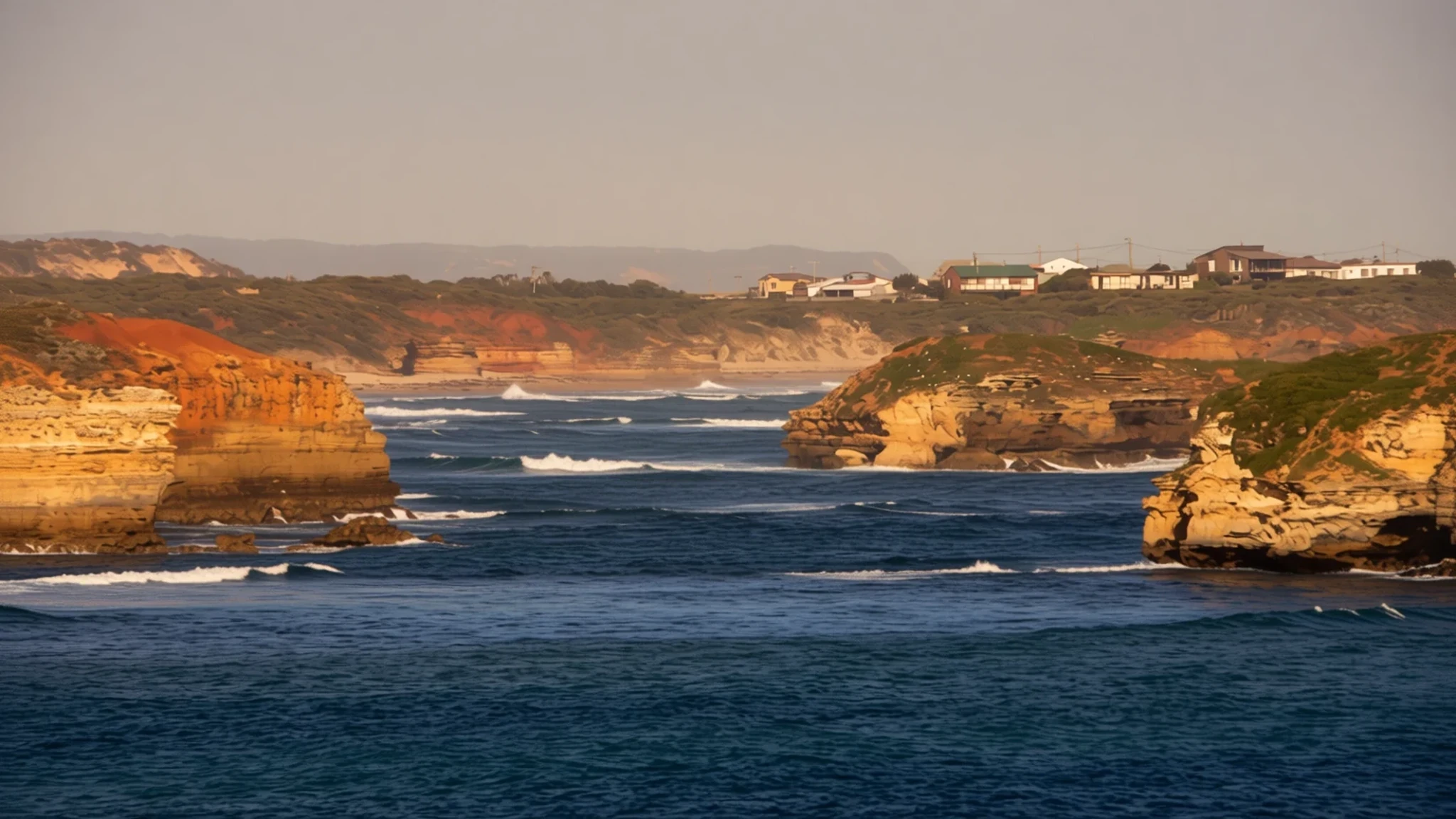
A drowned valley of islands and inlets in Northland, where sailing, fishing and early colonial history sit close together.
The place
The Bay of Islands sits on the east coast of the Far North District, at the top of New Zealand's North Island. Māori call it Te Pēwhairangi. Geologically it is a drowned river valley: the sea has flooded the lower land and left a scatter of islands, headlands and inlets behind. The bay holds about 144 islands, the largest being Urupukapuka, and its shape makes a natural harbour that is sheltered enough for family sailing yet open enough for a proper swell at the mouth. Kerikeri, the largest town, lies up the north-western inlets, while Paihia is the busiest base for boat trips. Russell sits on a short peninsula across the water and keeps an older waterfront feel. Visitors have come for fishing since the 1930s, and charter boats still crowd the wharves through summer. Expect the heaviest traffic from December to February, when Paihia's cafés and car parks fill quickly and cruise seats sell out. Away from the water the countryside is quieter, with orchards, kauri forest and farmland stretching inland, and Kerikeri's roadside stalls selling citrus in season.
Its story
The bay was settled by Māori long before European ships arrived. About 700 years ago the canoe Mātaatua was sailed here from the Bay of Plenty by Puhi, an ancestor of Ngāpuhi, whose people today form New Zealand's largest iwi. Communities spread across the bay and its islands, and Ngāti Miru built at Kerikeri, which became a departure point for inland Māori travelling to sea. Hōne Heke, born here, cut down the flagpole at Kororāreka several times, an act that set off the Flagstaff War. Captain Cook was the first European to visit, in 1769, and he named the region. Whalers followed toward the end of that century, and the first missionaries settled in 1814. In 1815 Thomas King was born at Oihi Bay, recorded as the first European child of full European descent born in the country, although an earlier birth at Dusky Sound has been claimed without proof. Kororāreka, now Russell, became the first permanent European settlement in New Zealand, and Okiato briefly served as the nation's first capital. Waitangi, where the Treaty was later signed, lies on the bay too. At Kerikeri the Stone Store is the oldest stone building in the country, and the nearby Kemp House is the oldest wooden structure still standing. Walking these sites shows how quickly the bay changed.
What to see
- Waitangi Treaty Grounds — Waitangi, near Paihia
The Waitangi Treaty Grounds sit above the water near Paihia, on land given to the nation by Lord and Lady Bledisloe. The site holds the Treaty House, where the agreement was signed, a carved meeting house and a large ceremonial war canoe. Guided tours explain the history from both Māori and European points of view. Go in the morning, and allow at least half a day.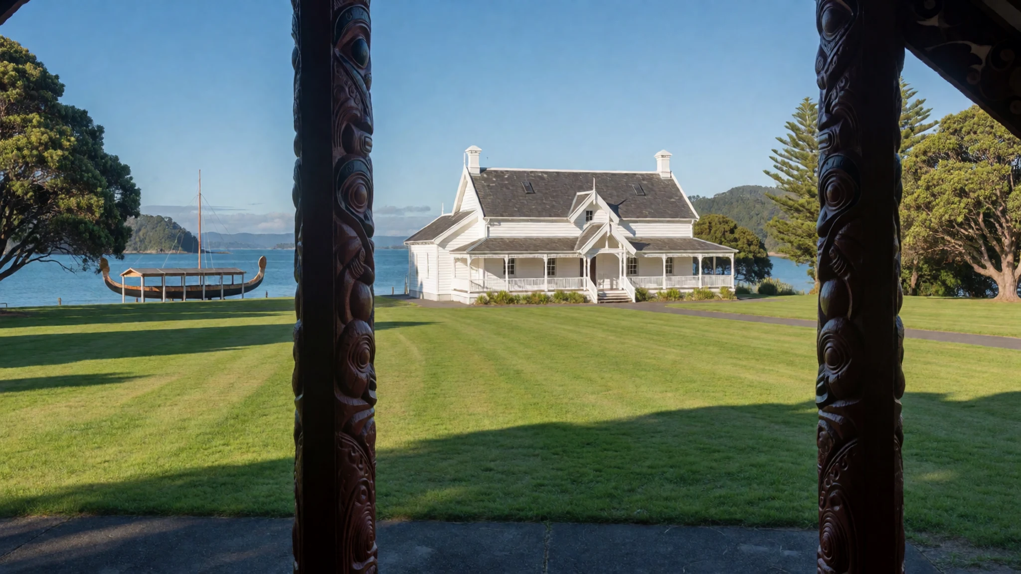
- Kerikeri Mission Station and Stone Store — Kerikeri
The Kerikeri Mission Station is where the first permanent mission station in the country took root. Its Stone Store is the oldest stone building in New Zealand, and the neighbouring Kemp House is the oldest wooden structure still standing. Both draw cameras all day, so arrive early for a clear view. Allow about an hour to wander the grounds and read the displays on the mission families.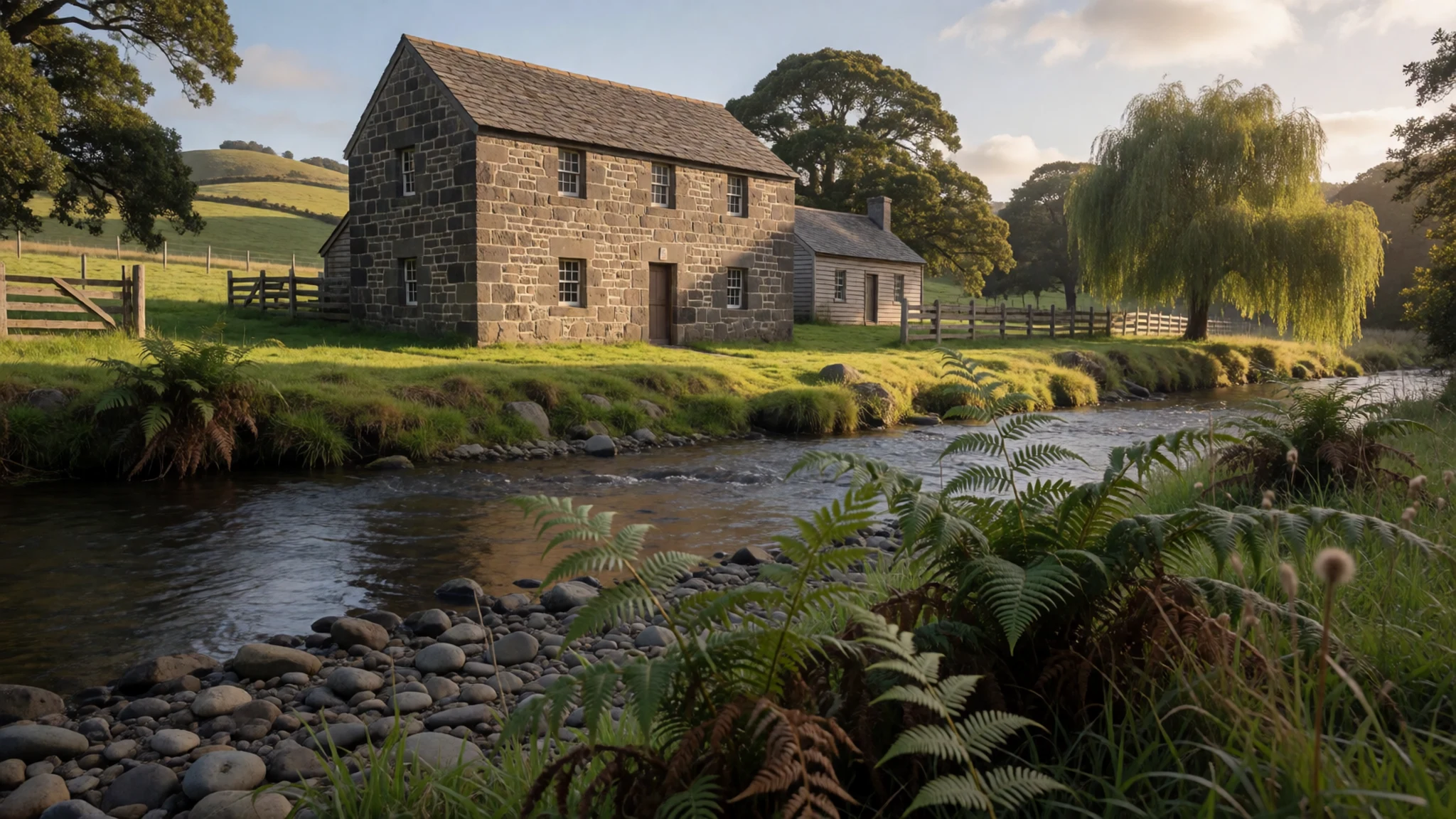
- Puketi Forest — Inland forest, north of Kerikeri
Puketi Forest, inland from the bay, is one of the largest stretches of native forest in Northland, and it is home to some of the country's great kauri. Te Tangi o te Tui Puketi, one of the biggest living kauri, stands within it. Walking tracks range from short loops to longer routes, and guided forest walks run from local operators. Bring insect repellent, sturdy shoes and water, and expect mud after rain.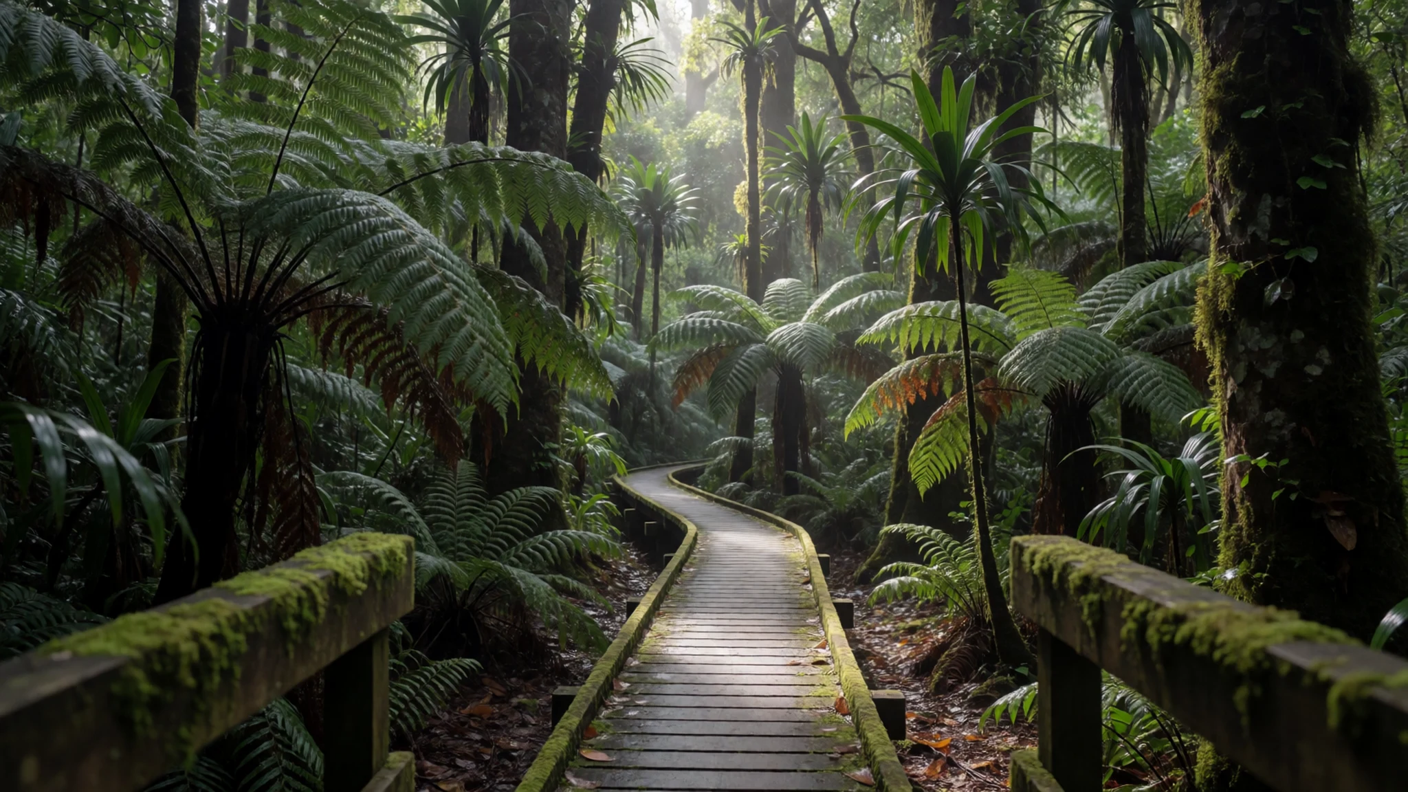
- Haruru Falls — Haruru, about 3 km from Paihia
Haruru Falls lies about 3 km from Paihia, and its name means big noise. The water drops in a horseshoe shape that is unusual enough to draw visitors. A walking track from the Waitangi grounds reaches the falls. Local legend says a taniwha, a water monster, lives in the pool below, so keep a respectful distance from the edge. The falls are loudest after heavy rain.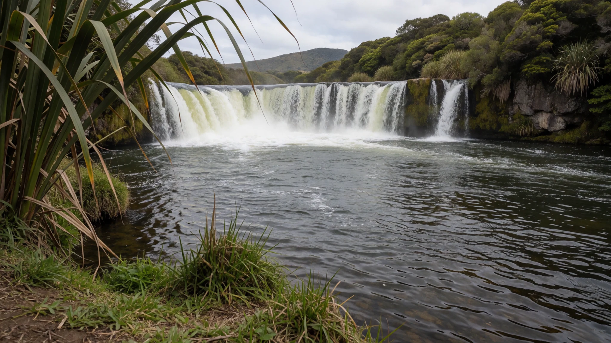
- Pompallier Mission — Russell waterfront
Pompallier Mission in Russell is a restored Catholic mission complex with a working printing house, the kind of place where early Māori-language books were produced in the nineteenth century. The rooms and grounds show how the mission operated day to day. Russell is small, so walk between the mission, the waterfront and the historic streets. Allow about an hour for the visit.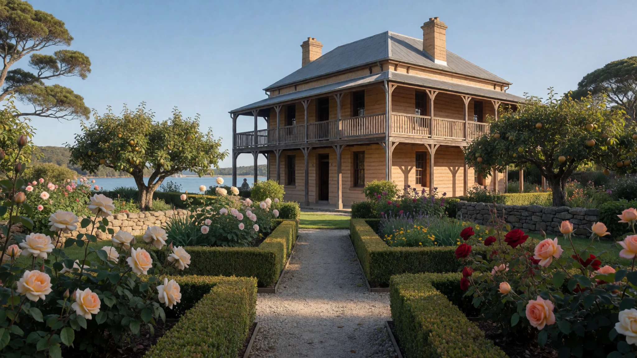
Culture
The Bay of Islands lies in Northland, where Māori culture is part of everyday life. Many people here have both Māori and European ancestry, and Māori place names such as Te Pēwhairangi appear on signs and maps. You will meet kaumātua, the elders, and hear about tikanga, the customs that guide behaviour on a marae and at formal events. At Waitangi the story of the Treaty is told openly, but it remains a sensitive subject, so ask questions with respect and expect a range of views. Māori arts are part of tourism here, and carving, weaving and singing often feature in cultural evenings. Old mission buildings are still used and visited by local people, so keep voices low around them. Many marae have their own protocols and visitors are welcomed through a formal process. At a marae, wait to be invited before stepping inside a meeting house, and ask before photographing anyone there.
What to wear
Traditional Māori dress centres on the kākahu, a cloak woven from harakeke (flax) fibre, often finished with soft muka and bordered with tāniko, a patterned band worked into the weaving. Chiefs wore finely made cloaks for ceremonies, and some older garments survive in museums. Feather cloaks, kahu huruhuru, were worn by high-ranking people and took a long time to make. Today most people in the bay dress like anyone in a small coastal town: shorts, T-shirts, jandals (flip-flops), and a fleece or raincoat in winter. For formal events and marae visits, people usually wear neat, covered clothing, and some wear woven or carved pieces such as pounamu pendants. For a visitor, pack light, breathable layers for the summer sun, a hat and sunscreen, and a windproof jacket for boat trips, since the sea can feel cool even in summer. Wear closed shoes with grip for rocky shores and forest tracks, and bring a covered top and long trousers or skirt for marae visits.
What to eat
- Fresh fish and chips — Takeaways on the Paihia and Russell waterfronts
Fish and chips from a takeaway near the Paihia or Russell waterfront make a classic lunch. Snapper and terakihi are common choices, and the batter is usually light. Eat on a bench by the water, and watch for gulls.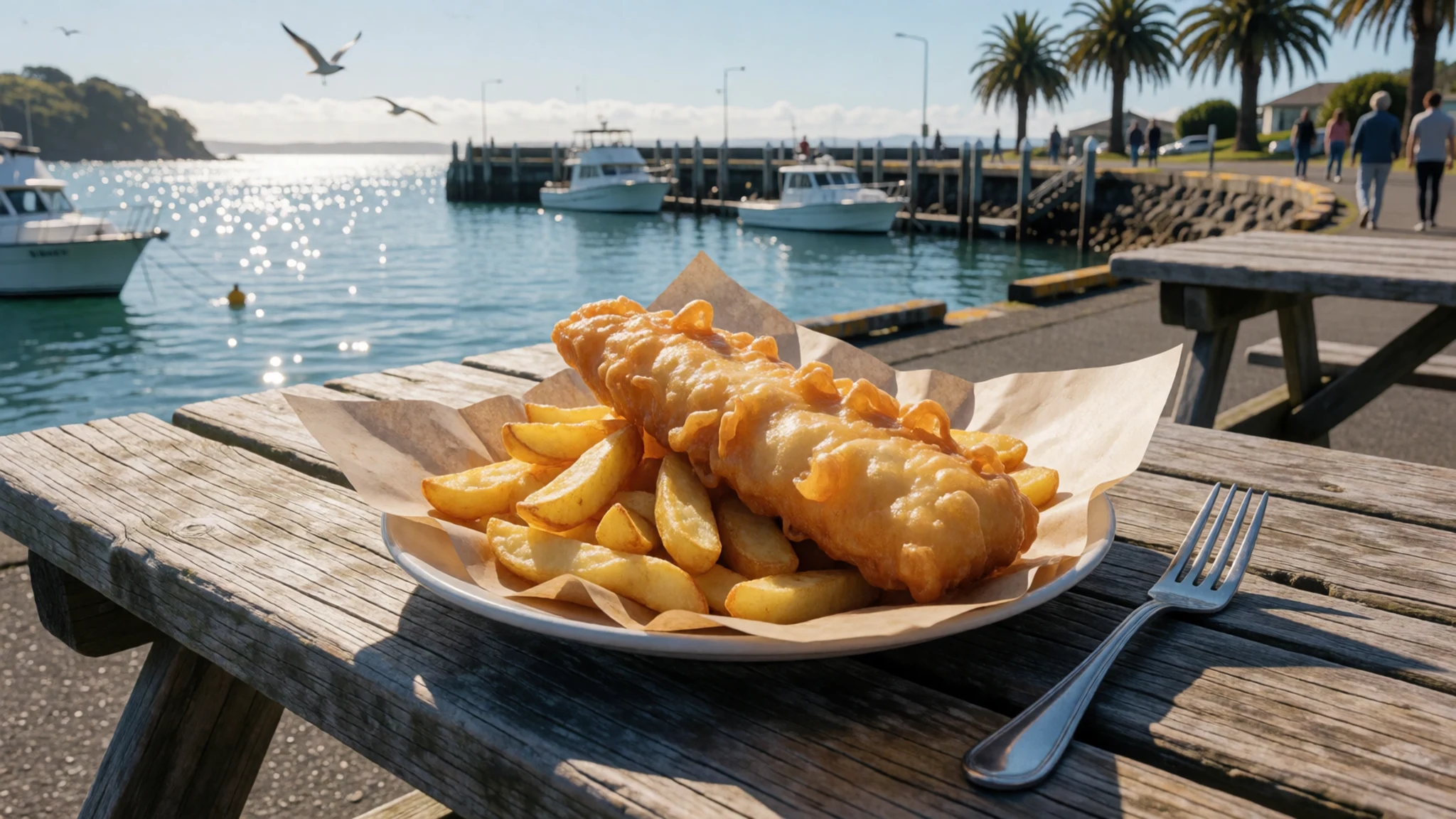
- Fish caught from the boats — Paihia and Russell wharves, through the skipper
Some boat skippers will cook or sell part of a day's catch, so ask at the wharf before you leave. Simple grilling with lemon, salt and herbs lets the fish taste of the sea. Confirm the arrangement and any cost before you go out.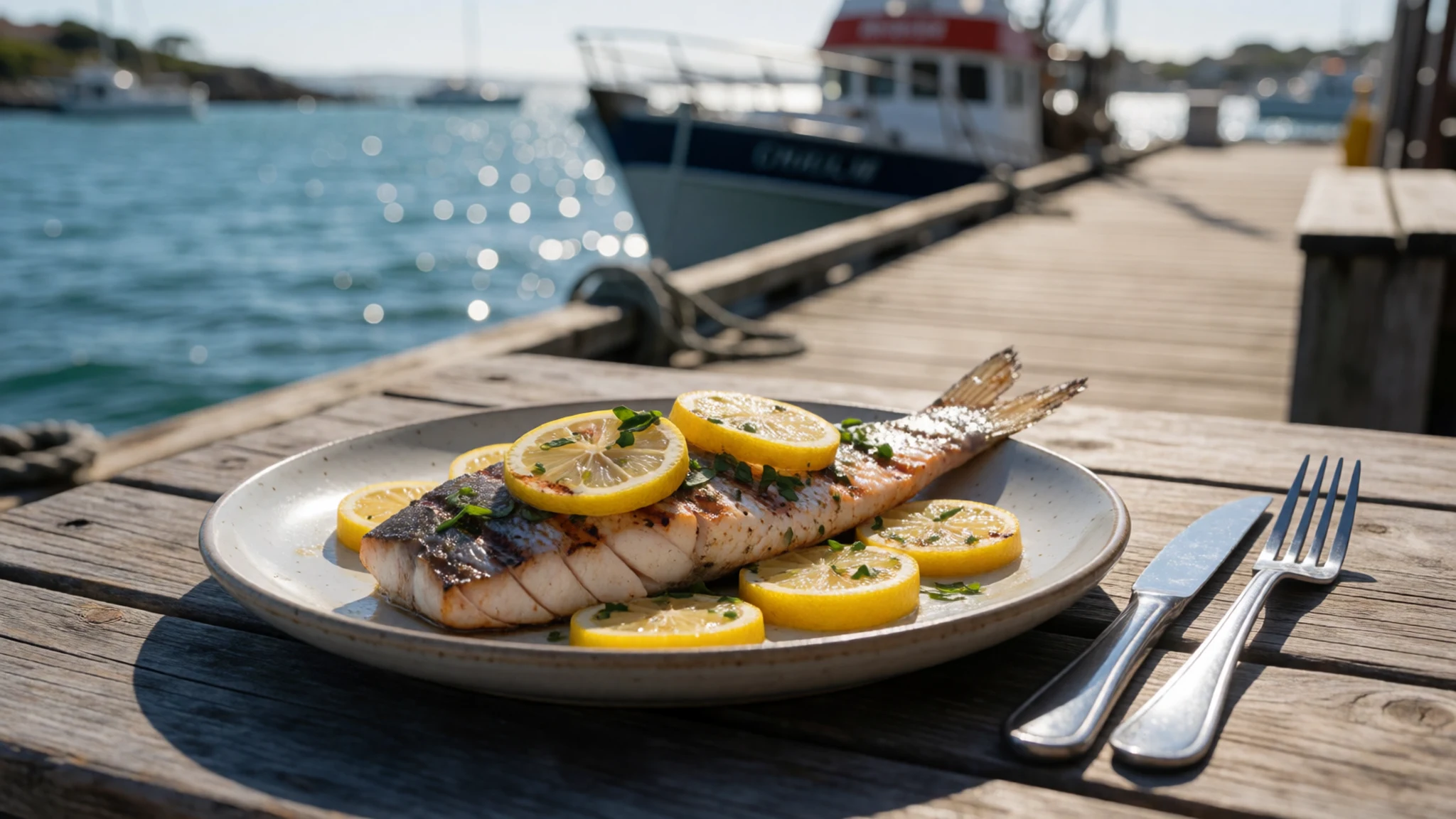
- Hāngi and a cultural evening — Cultural evenings near Paihia and Waitangi
Food cooked in an earth oven is served at some cultural evenings near Paihia. Meat and vegetables are wrapped and cooked slowly in the ground, giving a smoky, tender result. Book ahead through the operator and check whether the evening includes a welcome and performances.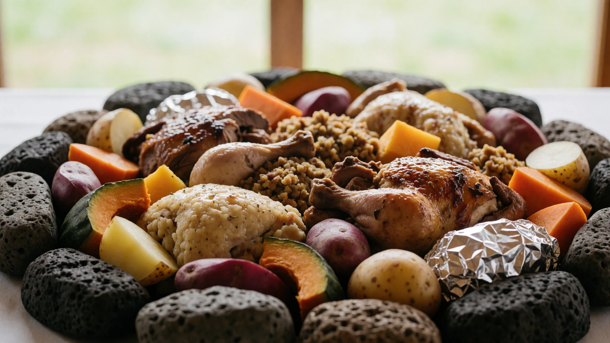
- Kerikeri citrus and orchard produce — Roadside stalls and farm shops around Kerikeri
Orchards around Kerikeri sell oranges, lemons and mandarins at roadside stalls and farm shops, most often in season. Look for honesty boxes and small weekend markets. Buy fruit to eat on the walk to the falls or on the boat. Carry some cash for small stalls.
Plan it
Best time. December to February brings warm, settled summer weather and swimmable water, but it is also the busiest season, so book boats and beds ahead. Winter is cooler and wetter, with fewer visitors and lower prices.
How long. 2–3
Getting there. Bay of Islands Airport at Kerikeri has flights several times a day from Auckland, taking about 45 minutes. From Auckland the last leg can be by coach or rental car along State Highway 1.
Budget. mid
Tips
- Book boat cruises and the Waitangi tour a few days ahead in summer
- Start walks early to beat midday heat and sun
- Carry cash for roadside stalls and small operators
- Bring water, sunscreen and a hat for boat trips
- For Cape Reinga, consider a tour based in Kaitaia, as coach trips from Paihia run long
Etiquette
- Ask before photographing people at a marae or ceremony
- Wait to be invited before entering a meeting house
- Stay well back from waterfalls and cliff edges
Nearby
Sources
- Wikidata Q812091 (CC0)
- Wikipedia (rev 1370114118) (CC BY-SA 4.0)
- Wikivoyage (rev 5394569) (CC BY-SA 4.0)
- Photo: Bay of Islands view from small island (Fuadounet) (CC BY-SA 2.0)
- Photo: Dolphins in the Bay of Islands (W. Bulach) (CC BY-SA 4.0)
- Photo: Kerikeri River mouth (Kaiwhakahaere) (Public domain)
- Photo: Bay of Islands aerial, January 2024 (JamesNZguy) (CC BY-SA 4.0)
- Photo: Bay of Islands with countless islands (W. Bulach) (CC BY-SA 4.0)
- Photo: Small basalt island in the Bay of Islands (W. Bulach) (CC BY-SA 4.0)
- Photo: Small basalt island in the Bay of Islands (W. Bulach) (CC BY-SA 4.0)
- Photo: Sailing catamaran in the Bay of Islands (W. Bulach) (CC BY-SA 4.0)


