Bay of Fundy
Bay of Fundy, Canada
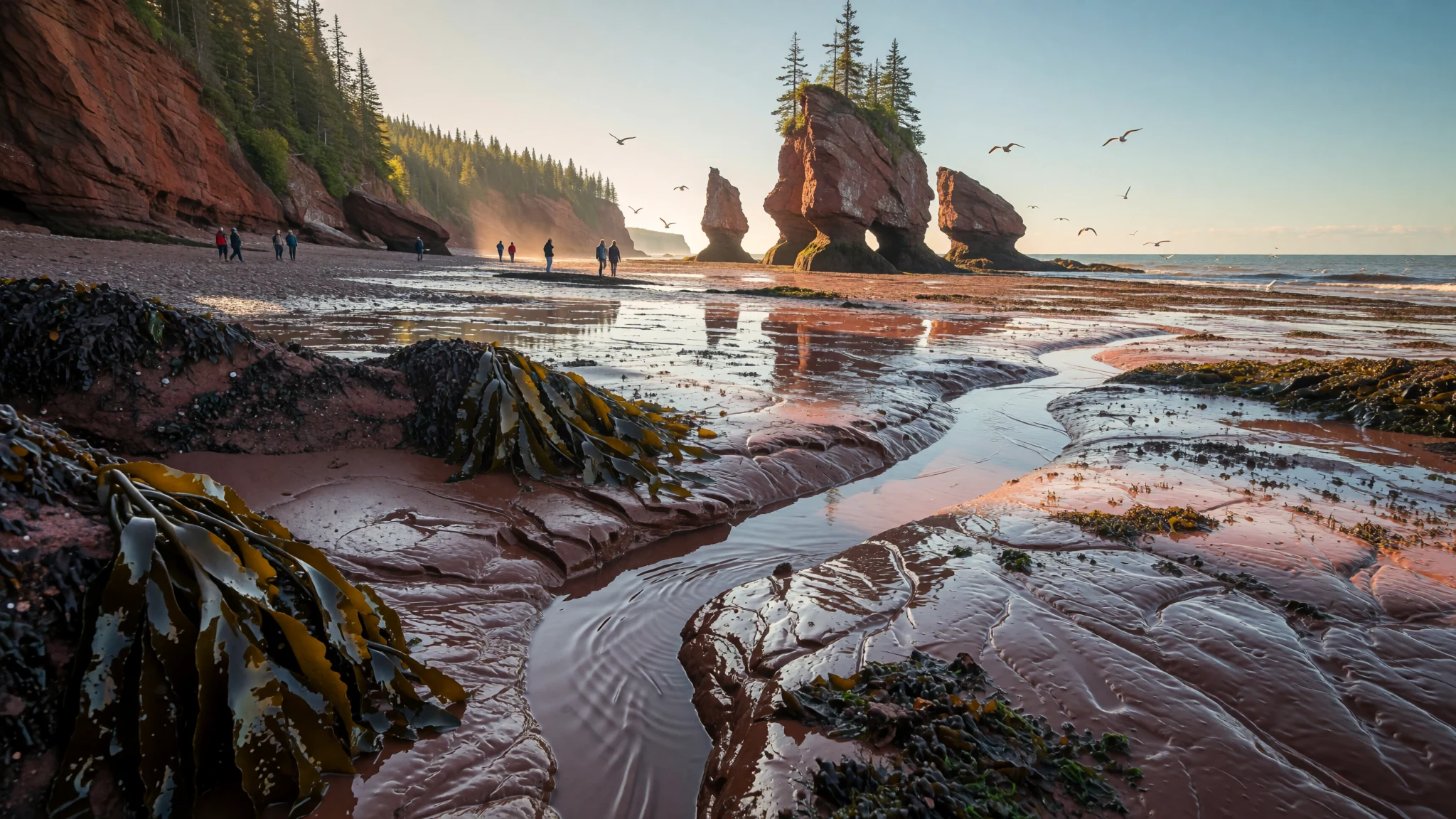
Come to the Bay of Fundy to watch the world's highest tides turn wide flats into sea and back again.
The place
The Bay of Fundy lies between New Brunswick and Nova Scotia on Canada's Atlantic coast, with a small corner touching the U.S. state of Maine. It is an arm of the Gulf of Maine and is best known for its tides. Here the water rises and falls by about 16 metres on average, the highest tidal range in the world, because the bay narrows like a funnel and concentrates the sea's energy at its head. Each tide moves an enormous volume of water in and out of the basin, far more than any river could carry.
The shoreline is a mix of red sandstone cliffs, salt marsh, orchard-lined farmland and small fishing harbours. At low water the seabed is exposed for long distances, leaving rock pools, sandbars and mudflats that stretch out until the tide returns. Towns such as Saint John, Digby and St Andrews sit on its edges, and the region's economy has long rested on fishing, forestry and farming. Fundy National Park, on the New Brunswick side, adds forest trails above the cliffs and walks across the shore.
The bay is a member of the Global Geoparks Network, which recognises its geology: lava columns, fossil-bearing cliffs and mineral-rich rock. Its character changes with the season and the tide. Summer is the easiest time for the coast, though fog can roll in off the water and the air stays cool even on warm days. Outside the summer months services thin out, so check opening times before setting out.
Crowds are modest in most places, but the most popular viewpoints and tide-watching spots fill up on sunny weekends. Travellers should expect long drives between towns, since the coast is spread out and public transport is limited.
Its story
The Bay of Fundy's story starts with a continent tearing apart. Long before the bay existed, all the land on Earth was joined together in one vast supercontinent, and the region that is now the Maritimes sat in a warm, lush belt far to the south of where it lies today. As the plates pulled apart, long rift valleys opened along the eastern edge of North America, and the Fundy Basin was one of them. Lava poured into these cracks and cooled into dark basalt, which still forms the striking columnar rock visible on islands such as Brier and Grand Manan. Mineral-rich veins formed in the cooled rock, and agate, amethyst and stilbite turn up among them. Stilbite is the provincial mineral of Nova Scotia.
Sediment then filled the rifts and hardened into sedimentary rock, and this layered record is why the shoreline is so rewarding for fossil hunters. The oldest dinosaur fossil found in Canada came from Burntcoat Head. At Joggins, early reptiles have been found inside fossilised tree trunks from the Carboniferous period, and Wasson Bluff holds a rich trove of Jurassic fossils. Each cliff face reads as a page in the same long account.
The sea shaped the rest. The funnel form of the bay concentrates tidal energy at its head, and the twice-daily flood has carved, exposed and rearranged the rock for a very long time. Anyone walking the flats at low tide is treading on the most recent chapter of that process. Today the bay's geology is recognised through its Global Geoparks membership, which exists to protect this heritage for future generations.
What to see
- New Brunswick Museum, Saint John — Saint John, New Brunswick
The New Brunswick Museum in Saint John covers the region's history, natural science and art under one roof. Its Discovery Centre suits families, with hands-on activities and interactive displays. The collection includes a to-scale plaster mastodon skeleton and whale skeletons, which give a useful sense of the marine life that depends on the bay. Allow a couple of hours and check the official site for current opening times.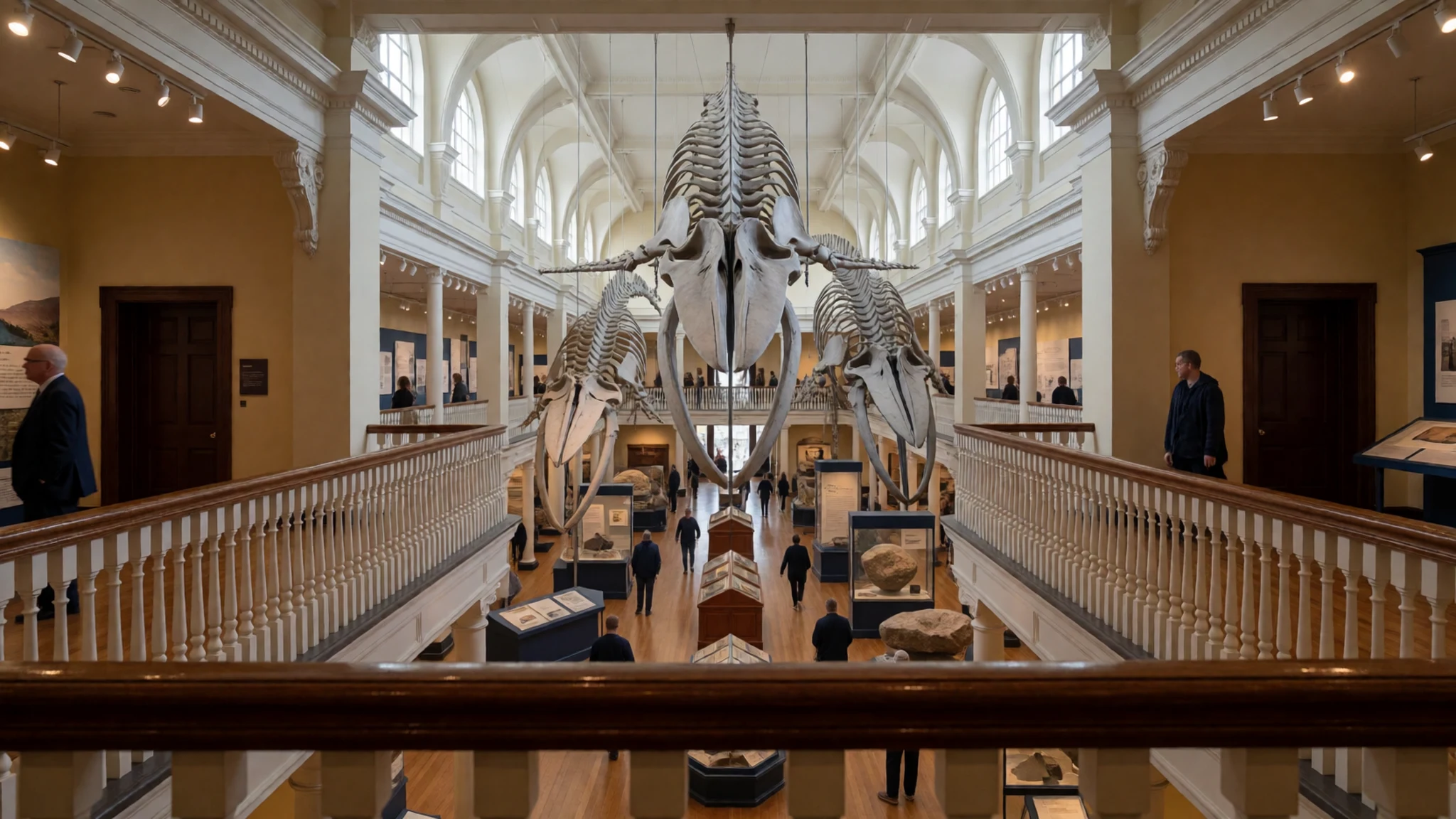
- City Market, Saint John — Uptown Saint John, New Brunswick
Saint John's City Market, housed in a historic building with period architecture, is Canada's longest-running farmers' market. Stalls sell New Brunswick produce, baked goods, groceries and crafts, alongside foods from further afield. It is a working market rather than a showpiece, so go on a weekday morning when local farmers and bakers are busiest.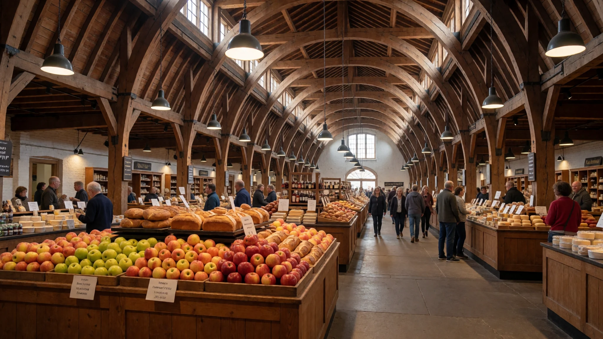
- Kingsbrae Garden, St Andrews — St Andrews, New Brunswick
Kingsbrae Garden in St Andrews is a 27-acre horticultural garden with more than 50,000 perennials spread across themed beds. Canadian sculptures sit among the planting, and there is a Dutch windmill, a cedar maze and a few alpacas and peacocks. It makes a relaxed half-day, especially after the drive along the Fundy coast.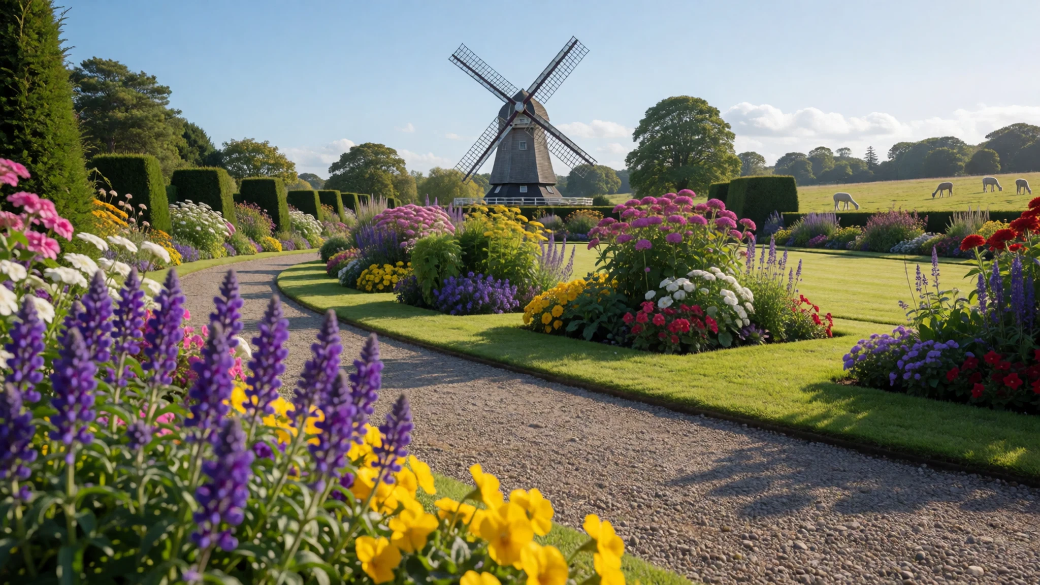
- Low-tide walks in Fundy National Park — Alma, New Brunswick
At low tide in Fundy National Park the ocean floor becomes walkable, with tide pools, seaweed-covered rocks and fossil-rich shale to explore. Guided and self-guided walks help visitors spot marine life, but the flats can be slippery and the water returns faster than most people expect. Pair the shore with a kayak trip or a forest hike above the cliffs.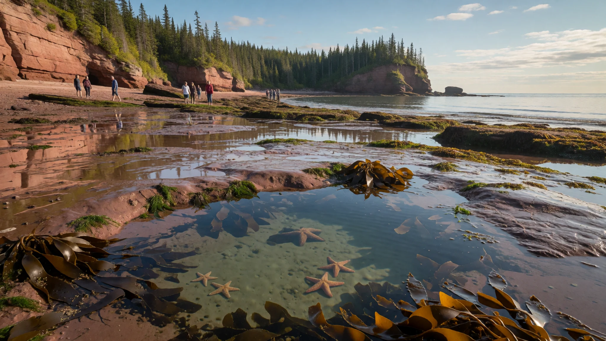
- Sea watch tour to Machias Seal Island — Grand Manan, New Brunswick
A sea watch tour from Grand Manan runs out toward Machias Seal Island, a small island known for its seabird colonies. Boats make the crossing when conditions allow, and the trip gives a view of the bay's open water away from the shore. Sailings depend on the weather, so keep a spare day in your plans.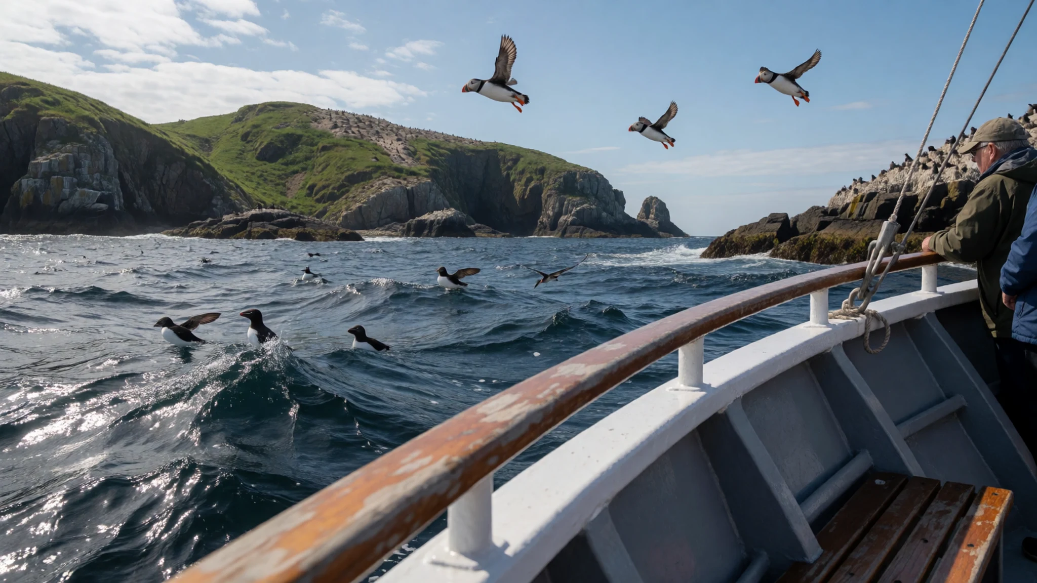
Culture
Culture around the Bay of Fundy is practical and close to the water. Fishing harbours such as Alma and Grand Manan still run on the lobster and scallop seasons, and the working rhythm of boats, nets and wharves shapes daily life far more than tourism does. Towns on both shores carry strong Acadian and Maritime Loyalist heritage, visible in place names, churches and museums. Local hospitality is unfussy: people chat with strangers at markets and harbour cafés, and small talk about the weather is a sincere way in. Community events such as the Chocolate Fest in early August bring visitors and residents together for the day. In shops and eateries, tipping follows the usual North American pattern, so check the bill for a service charge first. Keep off working lobster wharves and ask before photographing fishers at their boats.
What to wear
The traditional dress of the Bay of Fundy is working clothing, shaped by cold water, wind and the tides. Fishers wore heavy wool knitwear, thick and close-stitched to keep out the spray, along with oilskin waterproof jackets and trousers that could take a soaking on the boats. Flannel shirts and wool trousers were standard for timber and farm work. Today people dress in practical outdoor layers: fleece, waterproof shells and sturdy boots, with the same wool jumpers pulled on when the air turns cool. Town dress in Saint John or Digby is casual, and smart clothes are rarely needed for restaurants. For a visit, pack layers that work in fog and wind, since a warm morning can turn cold quickly on the shore. Choose a waterproof jacket and closed shoes with good grip, because mud and wet rock are slippery. Rubber boots help on the flats, and a hat keeps off the wind. Modesty norms are relaxed, and the coastal sites carry no formal dress code.
What to eat
- Lobster in Alma — the harbour and wharf in Alma
Alma, on the east side of Fundy National Park, is a working lobster harbour with three lobster shops, so the catch is fresh off the boats. Buy it cooked from a shop near the wharf and eat it at a picnic table, or book a seafood meal at the village hotel restaurant, which overlooks the harbour.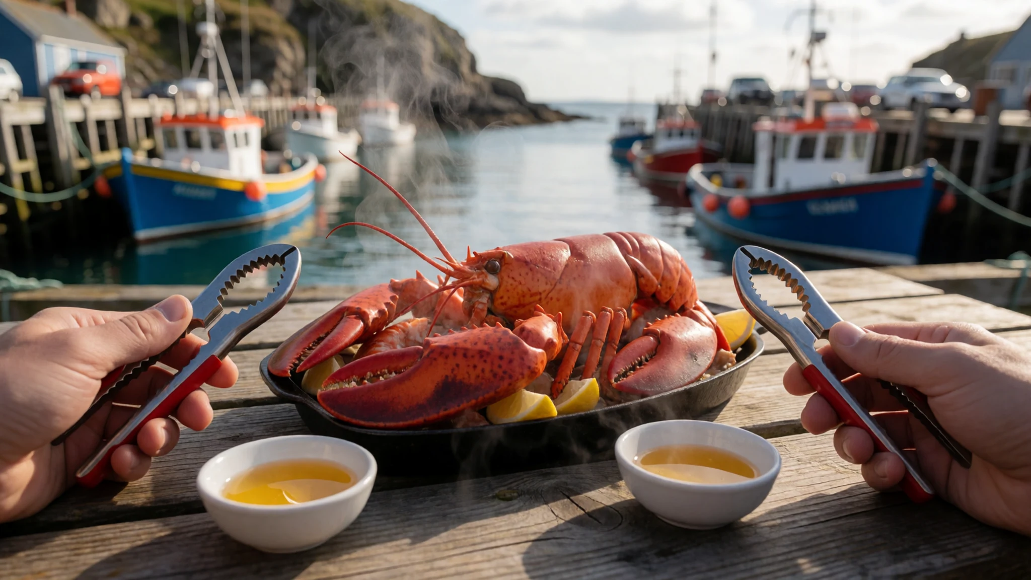
- Scallops from Digby — the harbourfront eateries in Digby
Digby, on the Nova Scotia shore, is known for its scallops, which turn up pan-seared on harbourfront menus and in chowders. Try the waterfront eateries in the evening, and ask which day's catch is on offer.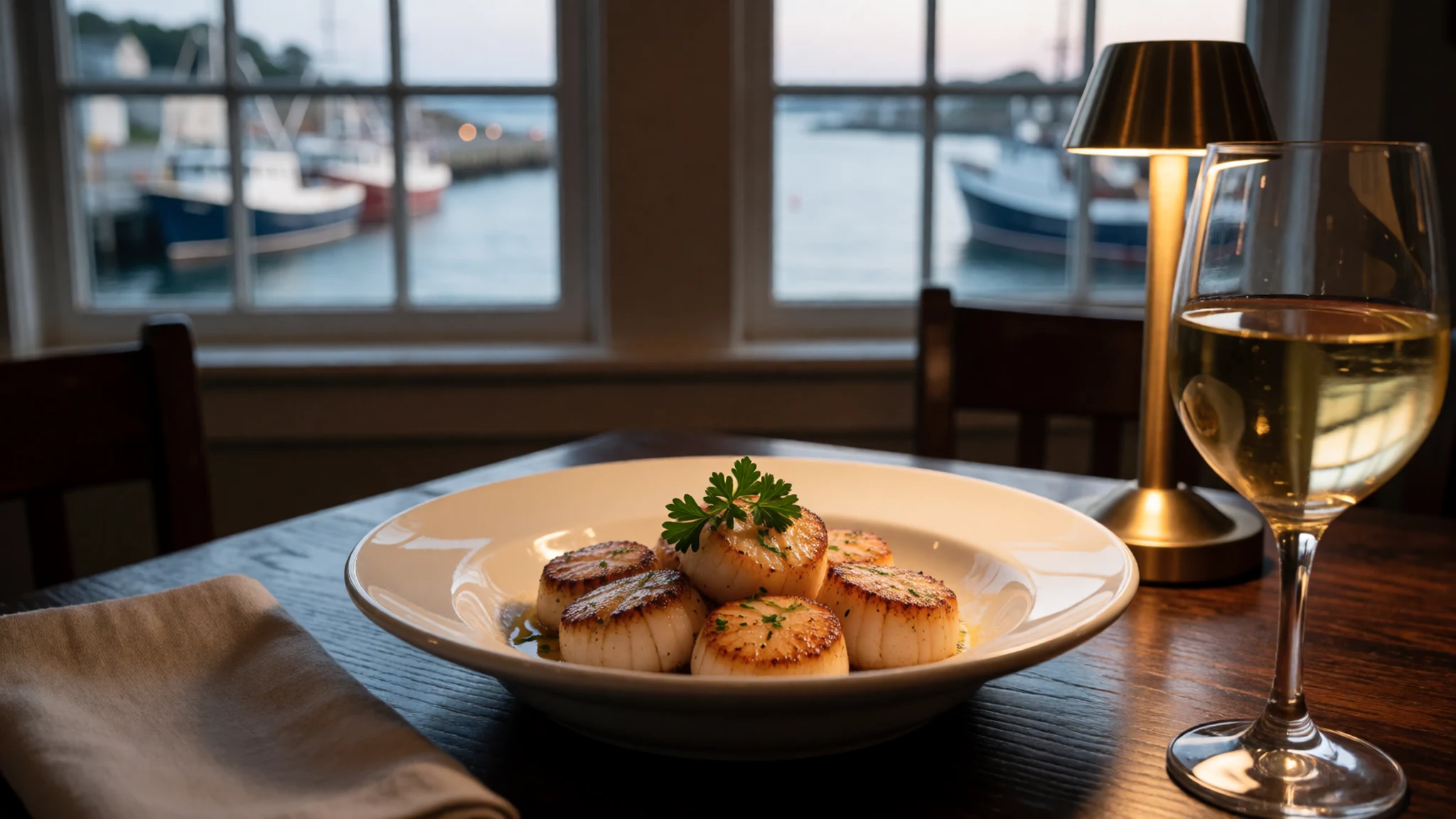
- Fiddlehead greens — spring menus at farm-kitchen eateries and market stalls
Fiddleheads, the tightly coiled tips of young ferns, are a spring speciality around the bay. Cooks blanch them and serve them with butter, lemon or cream. They are seasonal and short-lived, so look for them in late spring at farm-kitchen eateries and on market stalls in Saint John. - Maple foods of the upper bay — sugar shacks and farm stands on the upper bay shores
In late winter, maple foods appear across the upper half of the bay: syrup poured over pancakes, maple taffy and sugar candy made as the sap season ends. Sugar shacks and farm stands on both shores sell them, and the sweetness pairs well with smoked fish. - Bread and produce at City Market — City Market, Saint John
The City Market in Saint John is the place for local bread, pastries and preserves. Stalls sell New Brunswick produce alongside baked goods and grocers' stock, which makes it good for picnic supplies before a day on the shore. Go early on a weekday to catch the stallholders at their busiest.
Plan it
Best time. Late June to early September is the easiest window, when weather and services are most reliable. July and August are the warmest months, though fog and cool water keep the coast fresh. Spring and autumn are quieter, but many services thin out, so plan the tide walks around the tide tables.
How long. 3–4
Getting there. Fly into Saint John or Halifax, then drive. Most visitors use the Trans-Canada Highway. Maritime Bus runs intercity coaches to Saint John, and a passenger ferry crosses from Saint John to Digby, which is the last leg over the bay.
Budget. mid
Tips
- Check tide tables before any walk on the flats, and note when you need to be back on dry land.
- Book the Machias Seal Island sea watch well ahead in peak summer, as weather can cancel sailings.
- Carry cash for small markets and roadside stands, and keep a card for larger towns.
- Pack layers and a waterproof jacket, since fog and wind can cool a warm morning quickly.
Etiquette
- Keep back from the water and any tidal channel, even when it looks shallow.
- Ask before photographing fishers and lobster boats at work.
Nearby
Sources
- Wikidata Q181857 (CC0)
- Wikipedia: Bay of Fundy (rev 1382021569) (CC BY-SA 4.0)
- Wikivoyage: Bay of Fundy (rev 5243826) (CC BY-SA 4.0)
- Photo: Minas Basin from the Look Off, Nova Scotia (01) (Public domain)
- Photo: Fort Edward, Windsor, Nova Scotia (02) (CC BY 3.0)
- Photo: Skyline of uptown Saint John, New Brunswick (03) (CC BY 4.0)
- Photo: Grand Manan V ferry at North Head (04) (Public domain)
- Photo: Bay of Fundy with Alnus incana subsp. rugosa and Digitalis purpurea (05) (Public domain)
- Photo: Bay of Fundy, NB, Canada (06) (Public domain)
- Photo: 2009-07 nova scotia 031 bay of fundy (07) (CC BY 2.5)
- Photo: 2009-07 nova scotia 032 bay of fundy (08) (CC BY 2.5)


