Bale Mountains National Park
Bale Mountains National Park, Ethiopia
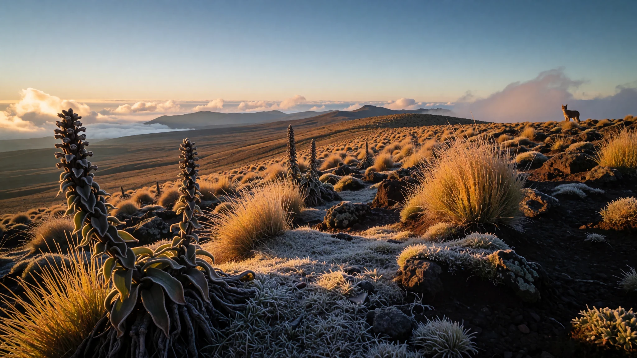
Africa's largest area of Afromontane habitat, with glacial lakes, Ethiopian wolves and mountain nyala on high plateaus above 3,000 metres.
The place
Bale Mountains National Park sits in the Bale Zone of the Oromia Region in south-eastern Ethiopia, roughly 400 km south-east of Addis Ababa. It protects much of the Bale range, the highest mountains in the country. Most of the park lies above 3,000 metres, and the summit of Mount Tullu Dimtu, at 4,385 metres, is its highest point.
The park is best understood as a stack of habitats rather than one landscape. Five distinct zones are recognised, running from the Gaysay Valley grasslands and the woodland around park headquarters, up through heather moorlands, to the open Afro-alpine meadows of the Sanetti Plateau and the dense Harenna Forest on the southern side. Each band holds different plants and animals, and the change from one to the next can happen within a morning's walk.
Its importance is biological. The Afromontane habitats here have one of the highest rates of animal endemism of any land habitat, and the park holds the largest area of this habitat in Africa, with many glacial lakes scattered through it. The Harenna Forest is one of the few large natural forests left in Ethiopia, and wild Arabica coffee grows in its understorey.
Weather is the main thing to plan around. Plateau days are cold and windy, night frosts are common above 3,000 metres, and the forest is far warmer and wetter. Rain is frequent from around May into the autumn, so the drier months are the most dependable for walking.
Its story
Bale Mountains National Park was founded in 1969, but the land it protects has been shaped far longer by altitude and weather than by any single event. The range is cut by valleys, dotted with glacial lakes and capped by open plateau. The first surprise for most visitors is how quickly the scenery changes: a grassy valley gives way to heather, and then to a high plateau broken only by tussock grass and wildflowers.
The animals are what keep the park in the conservation spotlight. The Ethiopian wolf, an endangered canid found mainly in the Ethiopian highlands, hunts across the meadows, while the mountain nyala, also endangered, moves through the forest edges. Smaller species, from the Bale Mountains vervet to the Ethiopian highland hare, fill out a community that depends on the mosaic of habitats staying intact.
The Harenna Forest adds another thread. It is one of the few large natural forests left in Ethiopia, and its wet understorey supports wild Arabica coffee, the same species that underpins much of the world's coffee trade. The forest and the plateau are very different worlds, and the park's management has to hold both together.
In recent years the park has drawn more attention as a World Heritage site, which has focused interest on the wolves and the forest. For the people who travel there, the appeal is the contrast: a cold, open highland and a dripping forest a short distance away, with wildlife that exists nowhere else in such numbers.
What to see
- Sanetti Plateau — The high plateau in the park's upper zone
The Sanetti Plateau is the high, open heart of the park, where the land flattens into Afro-alpine meadows and the sky seems to fill the horizon. Daytime temperatures often hover around 5 to 10 °C, with strong winds, so the walk feels colder than the sun suggests. Red-hot poker plants bloom among the tussock grass in season, and the Ethiopian wolf is most often seen here, if at all.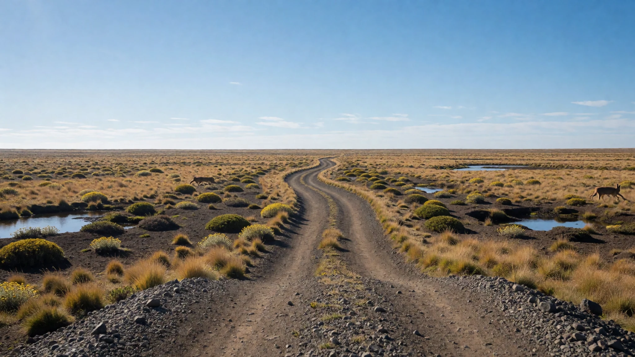
- Harenna Forest — Southern side of the park
Harenna Forest is one of the largest natural forests in the country, a damp montane forest with moss-hung trunks, wild coffee in the understorey and acanthus plants on the forest floor. It is much warmer than the plateau, with daytime temperatures around 25 °C. Trails can be muddy after rain, so a local guide is worth arranging for a longer walk.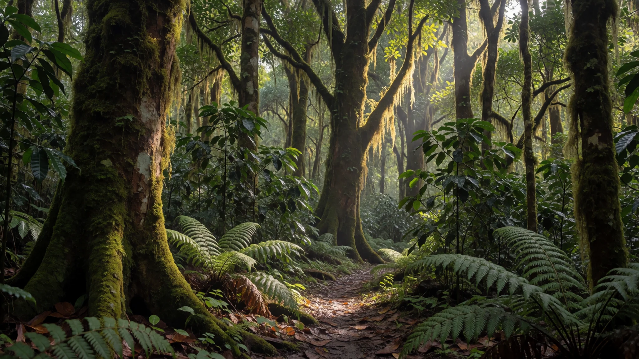
- Gaysay Valley — Northern grasslands of the park
Gaysay Valley is the park's northern grassland, a broad, open valley that is warmer than the plateau, with average daytime temperatures around 20 °C. It makes an easier introduction to the high country before a climb. The open grass suits slow walking and a long look at the surrounding ridges.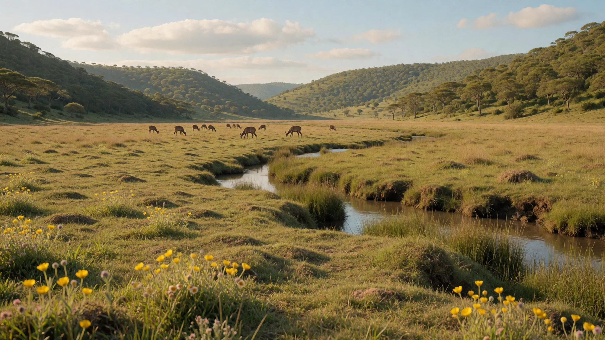
- Mount Tullu Dimtu — Highest ground in the park, above the Sanetti Plateau
Mount Tullu Dimtu, at 4,385 metres, is the highest point in the park. The summit is a demanding climb above the plateau, with cold winds and frost possible at night. Acclimatise on lower ground first, carry warm layers and water, and start early, since cloud and wind often build by the afternoon.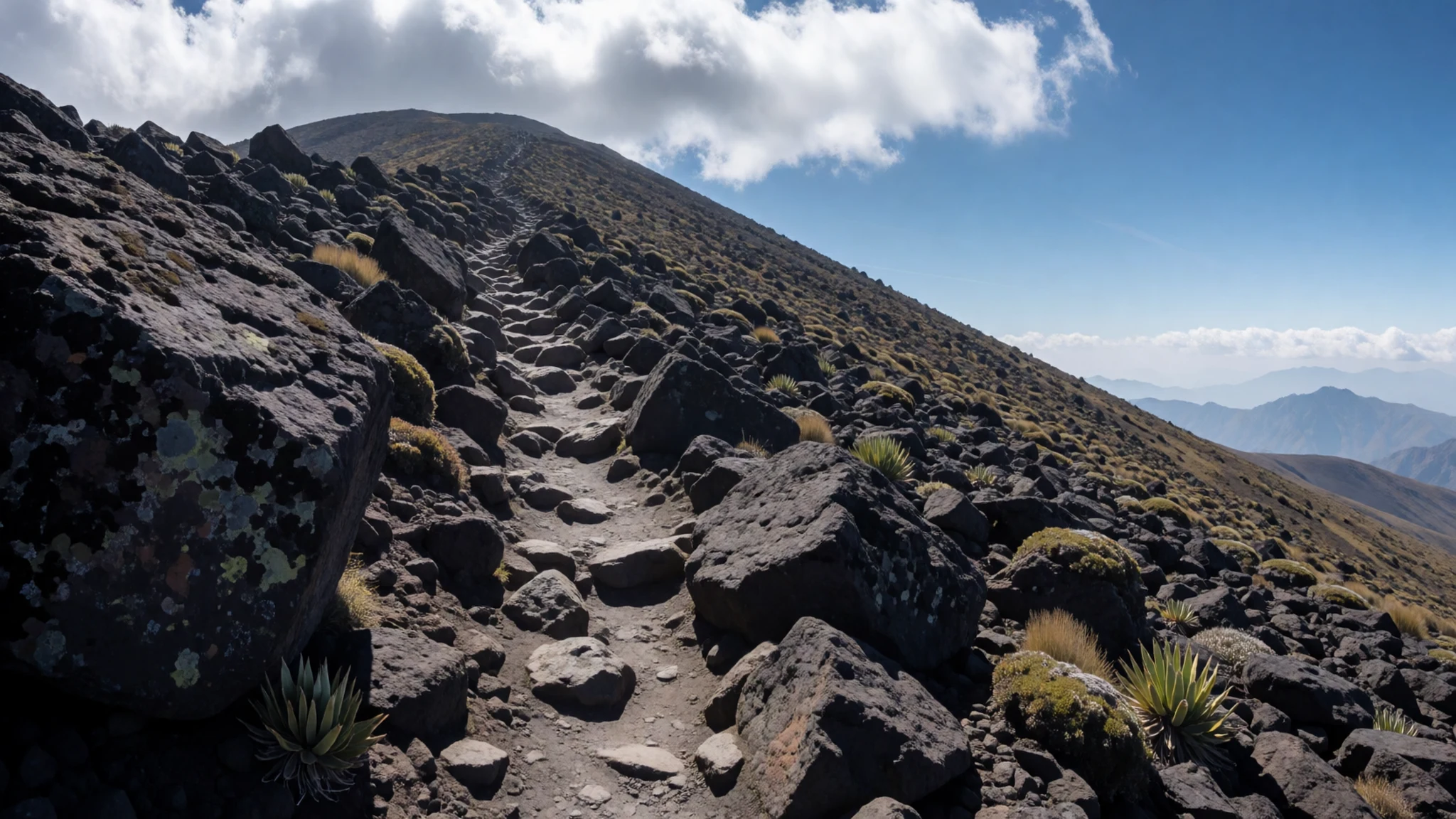
- Birdwatching in the moorlands — Erica moorlands and grassland edges
The Erica moorlands and the grassland edges make good ground for birdwatching, and the park's range of habitats supports a varied list. Early morning is the best time, when birds are most active and the wind has not yet risen. Bring binoculars and a field guide to highland species, and keep to paths so that nesting birds are not disturbed.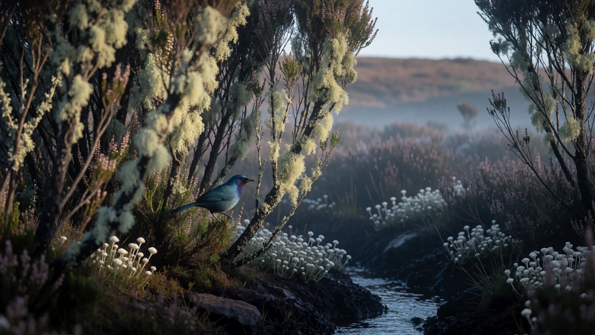
Culture
Bale Mountains National Park lies in the Bale Zone of the Oromia Region, and most people who live on its edges are Oromo, with a long tradition of highland farming and herding. Life in the towns and villages of the zone runs on markets, livestock and hospitality. Greetings matter here: take time over them, ask after family, and accept tea or coffee when it is offered, because refusing can read as unfriendly. Religious life, both Orthodox Christian and Muslim, shapes the calendar, so expect quiet at prayer times and on holy days. Coffee is a social ritual, and a short ceremony in a village home is a warm invitation worth accepting. Ask before photographing people, especially women and children, and pay only if you have agreed a price first.
What to wear
Traditional dress around Bale Mountains National Park is built around cotton. The white shamma, a hand-woven cotton wrap often with a coloured border, is draped over the shoulders for church, festivals and cold mornings. The netela is a lighter, sheer cotton shawl for warm days. Looms are narrow, and good cloth is spun and woven by hand, so a shamma can take weeks to finish. Oromo dress varies from community to community, but most people wear it in layers suited to cold highland nights.
What people wear now is mostly European-style trousers, shirts and jackets, with a shamma worn over them when the air turns cold or for religious occasions. In the market towns, younger people wear jeans, sports shirts and trainers, and the clothing on sale reflects the bigger towns of the region.
What a visitor should wear starts with warmth. The plateau is cold and windy, and frost is possible above 3,000 metres, so pack a fleece, a windproof and waterproof shell, and a warm hat. In the forest, light long-sleeved layers help against insects and wet vegetation. Sturdy waterproof boots with ankle support suit the rough, muddy trails. In villages and at religious sites, cover shoulders and knees, and carry a shawl to wrap over shorts or a vest.
What to eat
- Injera with wat — Any small eatery in the towns on the approach road
Injera is a soft, slightly sour flatbread made from teff, used as both plate and spoon. Wat is a slow-cooked stew of lentils or meat, spooned onto the bread and eaten with the hand. Lunch in the towns along the approach road is usually this.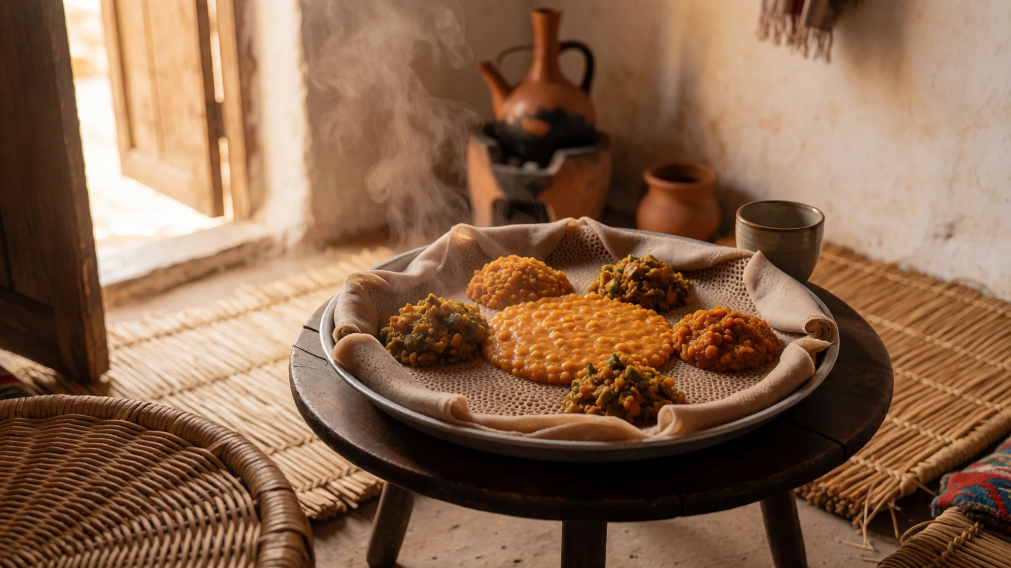
- Doro wat — Family-run eateries in the highland towns, especially on feast days
Doro wat is a rich chicken stew cooked in berbere, a red spice blend, with a hard-boiled egg. It is traditionally served for celebrations and to guests. It is worth ordering at a family-run eatery rather than a tourist restaurant.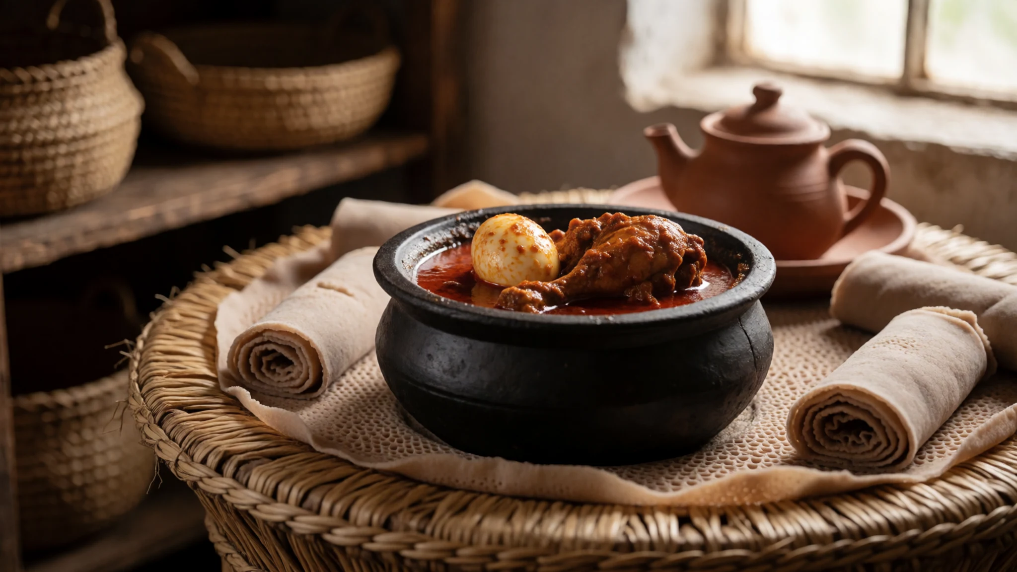
- Forest coffee — Roadside stalls and village homes near the forest edge
Coffee from Harenna Forest grows wild under the trees and is usually roasted over charcoal. In a coffee ceremony the beans are roasted, ground and brewed in front of guests, then served in small cups. Buying a bag to take home is a good way to remember the forest. - Tej — A tej house in a village on the way to the park
Tej is a honey wine lightly flavoured with gesho, a bitter leaf used in brewing. It is poured from a flask in simple rooms known as tej houses. It is stronger than it tastes, so sip it slowly, especially after a long day at altitude.
Plan it
Best time. December to March, when the rains have eased and the trails are drier. The rains run from about May into November, and the plateau is cold at any time of year, so pack warm layers whatever the month.
How long. 3–4
Getting there. Fly into the international airport at Addis Ababa, then drive south-east, roughly 400 km, on rough roads that take most of a day. The final stretch to the park is slower still, so arrange transport in advance.
Budget. mid
Tips
- Allow a full day for the road from Addis Ababa and arrange transport or a guide before you leave
- Start hikes early, because cloud and wind often build by the afternoon
- Pack warm layers for the plateau, where night frosts are common above 3,000 metres
- Move slowly on your first day above 3,000 metres to adjust to the altitude
- Carry cash and water for the road, since services are thin away from towns; check the official site for current fees, as this reading lists no prices
Etiquette
- Keep to marked trails and a respectful distance from wildlife
- Ask before photographing people in villages
- Take all rubbish out with you and do not light fires outside designated sites
Nearby
Sources
- Wikidata Q804881 (CC0)
- Wikipedia: Bale Mountains National Park (rev 1381040895) (CC BY-SA 4.0)
- Wikivoyage: Bale Mountains National Park (rev 5212502) (CC BY-SA 4.0)
- Photo: Bale Mountains, Ethiopia (AGoetzke) (CC BY-SA 2.0)
- Photo: Harenna Forest (Laika ac) (CC BY-SA 2.0)
- Photo: Landscape at Bale Mountains National Park (Indrik myneur) (CC BY 2.5)
- Photo: Harenna Forest (Laika ac) (CC BY-SA 2.0)
- Photo: Kniphofia, Sanetti Plateau (Rod Waddington) (CC BY-SA 2.0)
- Photo: Acanthus sennii in Harenna Forest (Laika ac) (CC BY-SA 2.0)
- Map: Jubba and Shebelle rivers drainage basin (Kmusser) (CC BY 3.0)
- Photo: Bale Mountain Lodge and surroundings (10) (Richard Mortel) (CC BY 2.5)


