Bacalar
Bacalar, Mexico
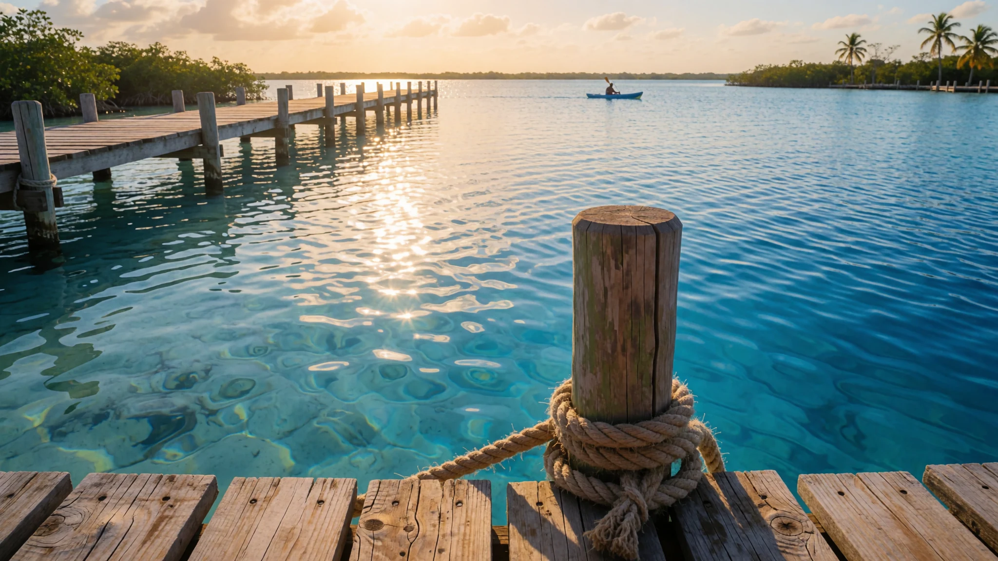
Bacalar is a lakeside town in southern Quintana Roo where the water is so blue that a few slow days there are easy to justify.
The place
Bacalar is a small town of about 12,500 people on the shore of a long freshwater lagoon in southern Quintana Roo, roughly 40 kilometres north of Chetumal. The land is low, at about 11 metres above sea level, so the heat is steady rather than severe. Bacalar is the seat of its municipality, which was split from Othón P. Blanco only in 2011, so some older maps and records still follow the previous arrangement.
The town itself is compact. Most of the day's activity gathers around the central square, the Zócalo, which fills in the evening, while the waterfront stays quieter. The lagoon is the reason people come. Its colour changes with depth and light, from pale turquoise over the sand near the shore to a deep, saturated blue further out. The shoreline is shallow for much of its length, except where sinkholes known locally as cenotes drop into much deeper water. Those sinkholes are scattered through the jungle around town, so a day out can mix swimming, paddling and a walk through scrub.
The pace is slow. Boats, cafés and small guesthouses line the lakeside, and the north shore is much emptier than the centre. Sand near the water can give off a faint mineral smell when it is disturbed, but once you are on the lagoon the odour is gone. Expect the town to be calm on weekday afternoons and livelier after dark.
Its story
Bacalar has a long past that predates the Spanish. Its Maya name, Sian Ka'an Bakhalal, belonged to a city founded here in the early fifth century. Spanish forces took the place in 1543, the first settlement in the region they managed to hold, and in 1545 Gaspar Pacheco set up a Spanish town called Salamanca de Bacalar with help from Juan de la Cámara. For a long period the southern part of what is now Quintana Roo was administered from here, answering to the captain general in Mérida.
Pirate raids troubled the town, and the Fortress of San Felipe Bacalar was completed in 1729 to defend it. The fort still stands and is open to visitors. In 1848, when the town had about 5,000 residents, Maya rebels from Chan Santa Cruz seized it during the Caste War of Yucatán. Mexican forces retook Bacalar in 1902.
The town's modern identity is shaped by more recent arrivals and designations. Mexico named Bacalar a Pueblo Mágico in 2006, a programme that promotes towns with strong heritage. Between 2005 and 2010 a German-speaking community of Russian Mennonites also established a colony in the nearby Salamanca area, and it has since grown into a settled farming community.
Local stories also linger around the water. The dark, deep Cenote Negro, which people call the Witch's Cenote, is said to be guarded by a woman who lives in a brick house nearby and once cursed anyone who entered. Many residents still speak of it, though the curse has never been proven. The legend tells you more about local feeling for the lagoon's deep places than about anything that happened there.
What to see
- Fortress of San Felipe Bacalar — Town centre, on the lagoon
The fortress was completed in 1729 to guard the lagoon after pirate raids, and its walls and bastions still stand at the water's edge. Inside is a small but modern museum that covers the town's Maya and colonial history. Give it an hour, and go early in the day when the stone is cooler and the crowds are thinner.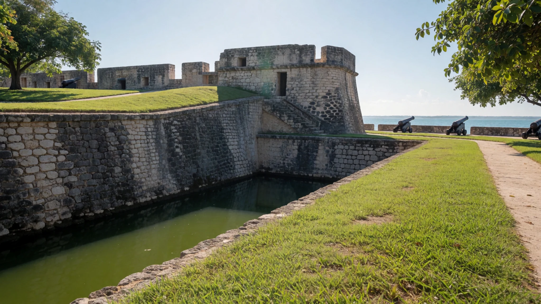
- Blue Cenote — Cenote route near town
A wide, deep sinkhole that falls away almost at once from its rim, so it suits confident swimmers who are comfortable in deep water. Facilities here are better than at many cenotes, which makes it a sensible first stop if you are new to them. Arrive early to find shade and a quieter stretch of water.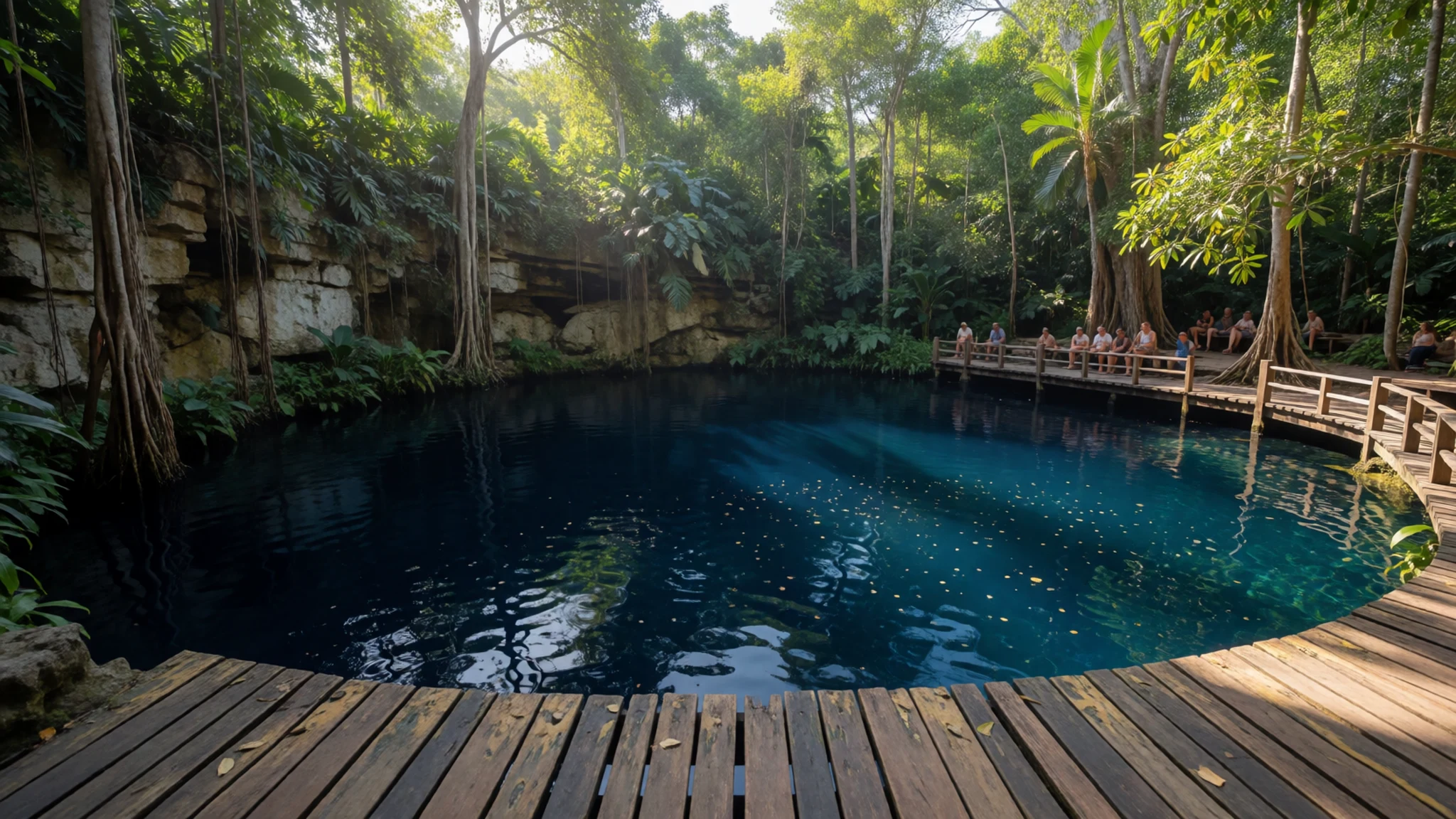
- Cenote of the Witch — Southwest of the centre
Also called the Cenote Negro, this is a dark, deep sinkhole whose water looks almost black from the edge. The local legend of a curse is still told here, though no evidence has ever backed it up. Keep to the marked edges, since the depth changes quickly and the rim can be slippery.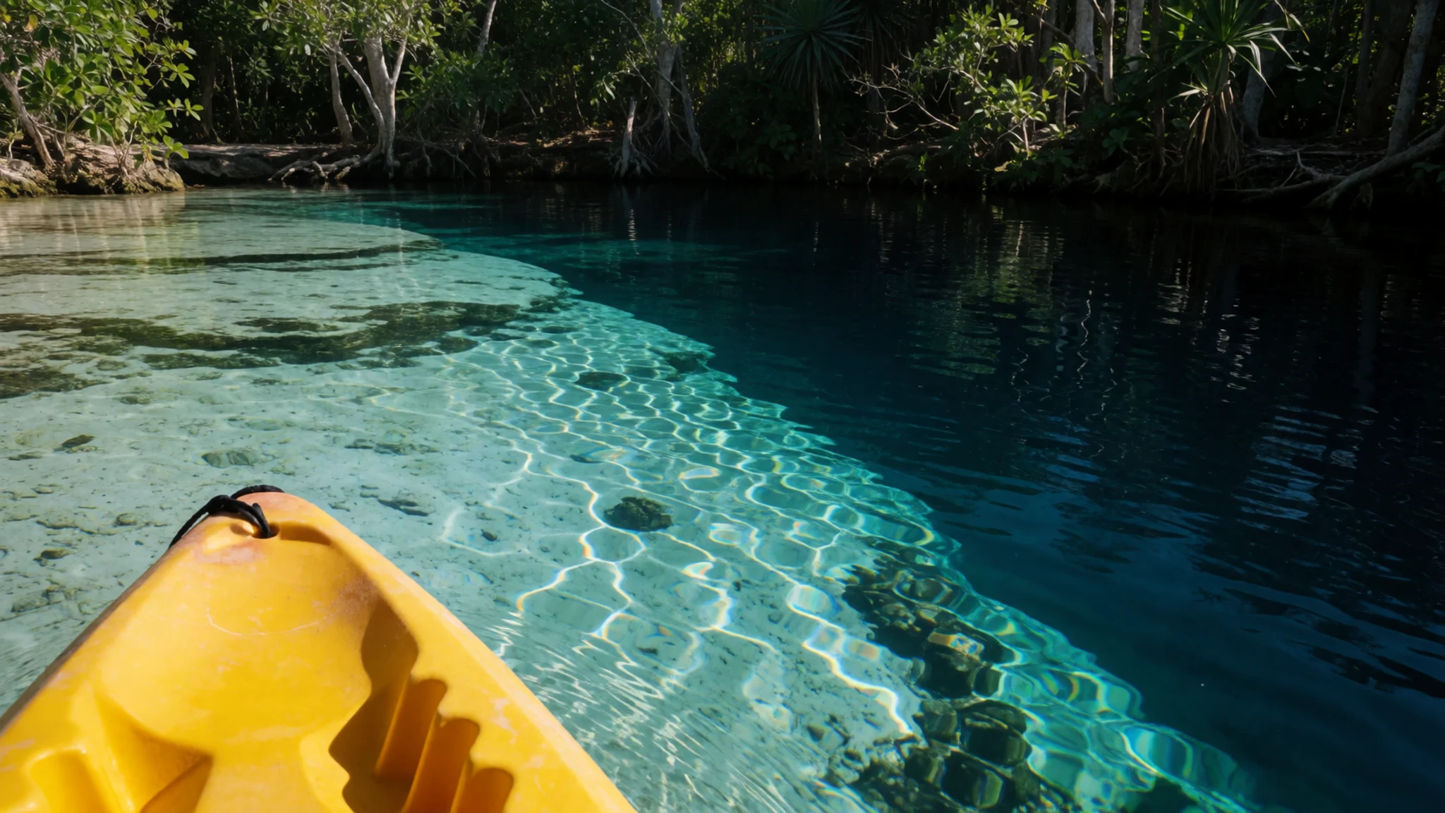
- Los Rápidos — South of town, on the lagoon
A stretch of the lagoon where the water runs an intense electric blue over pale ground. The area is known for stromatolites, layered mats built by microbes over very long periods, which are among the oldest kinds of life still visible on Earth. Look but do not touch, since the formations grow slowly and are easily damaged.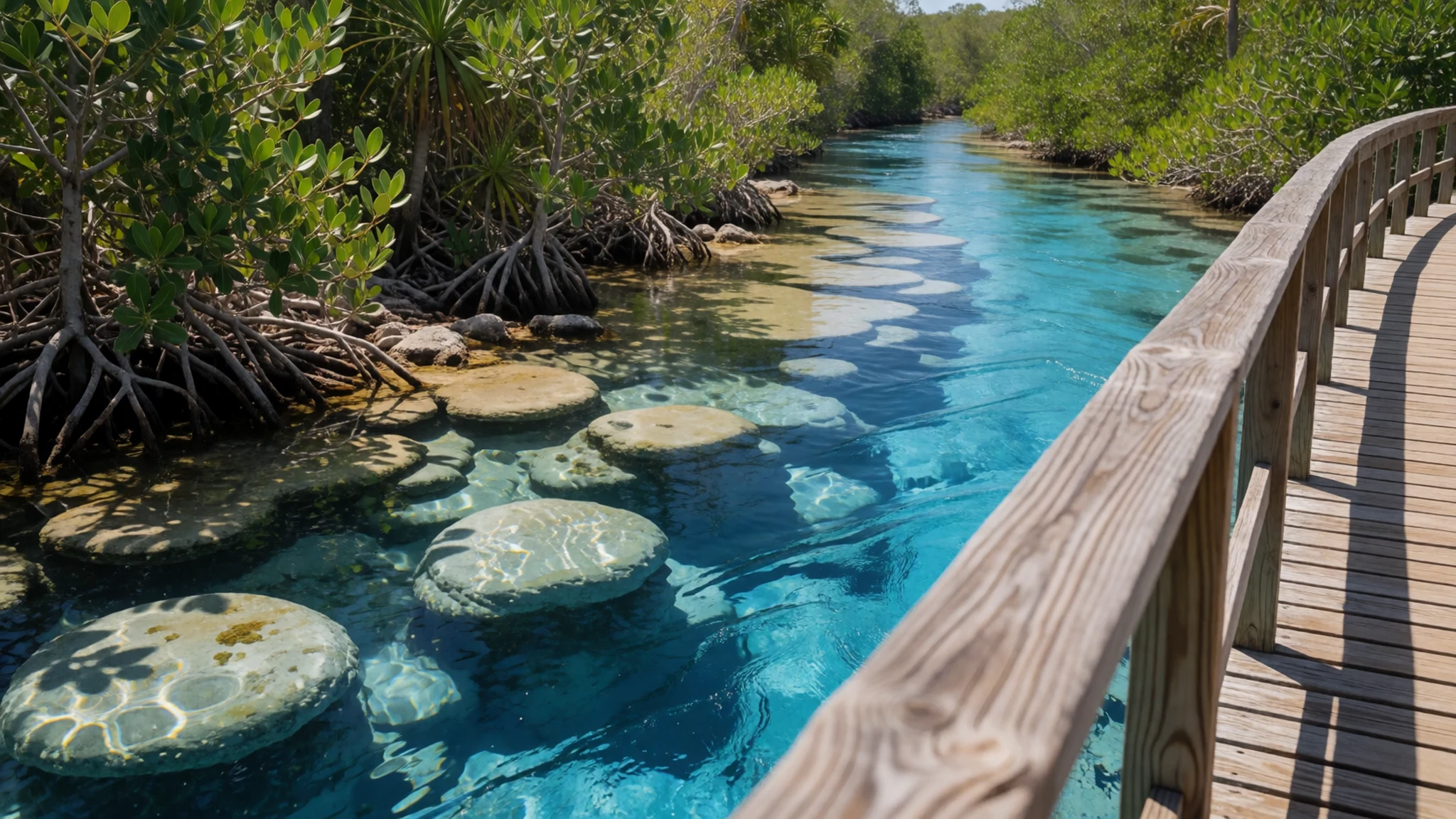
- Club Náutico Bacalar — North shore of the lagoon
A non-profit sailing association on the north side of the lagoon, which is one of the quietest parts of the water. It runs sailing tours and lessons for visitors, and it is a good base if you want a calm afternoon on the lake rather than a crowded boat trip. Book ahead in busy months.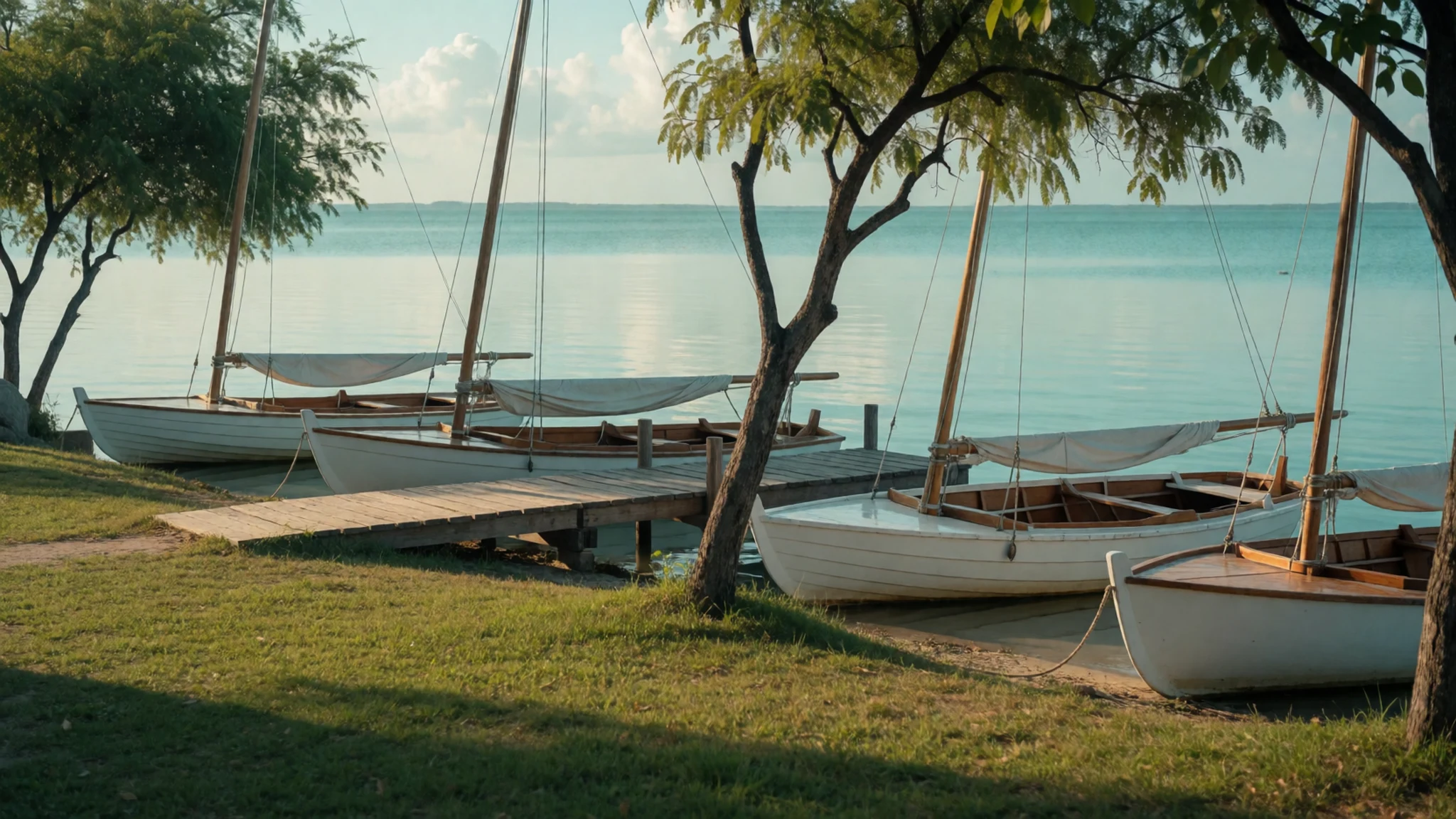
Culture
Bacalar is a small Mexican town where daily life still centres on the square, the waterfront and family routines. Its Maya roots are visible in place names and in local food, while the colonial fortress and the Spanish street plan record the centuries since. A German-speaking Mennonite community also lives in the Salamanca area, and its members keep largely to themselves. Sunday evenings often bring music and dancing to the square, and the danzón, a slow partnered dance, is one tradition people here are proud of. Locals are relaxed and unhurried, and a greeting in Spanish goes a long way. Ask before photographing people in the square or at the Sunday music, and keep noise down on the water early in the morning, when fishing families are out.
What to wear
Traditional dress in the wider Yucatán centres on the huipil, a loose tunic of white cotton, often embroidered at the neckline and hem with bright thread. Women wear it for fiestas, religious celebrations and dances, and some older women in the region still wear it every day. Cotton and embroidery are the main materials, and the designs vary by village. Hammocks, another regional textile, are seen around town in shops and in lakeside cafés.
What people wear now is practical. In the heat, locals favour cotton t-shirts, light dresses, shorts and sandals, with trainers for work. Good-quality jeans are rarely worn in the middle of the day. Men and women in the square on a Sunday evening dress up a little, but nothing formal.
For a visitor, pack loose cotton or linen that dries quickly, and a wide-brimmed hat with high-factor sun cream. Long, light sleeves help at midday on the water. Wear a cover-up over swimwear when you leave the lagoon edge, and cover your shoulders when you enter a church. Bring sturdy sandals or water shoes, because limestone steps and wet rock at the cenotes are hard on bare feet.
What to eat
- Marquesitas — Vendors in the central square, evenings
Thin crepes rolled around a filling and cooked crisp on a flat griddle. Locals usually stuff them with shredded Edam that stays unmelted, an acquired taste, plus a streak of Nutella. Vendors set up in the central square each evening, and a paper-wrapped one makes a cheap walk-around snack.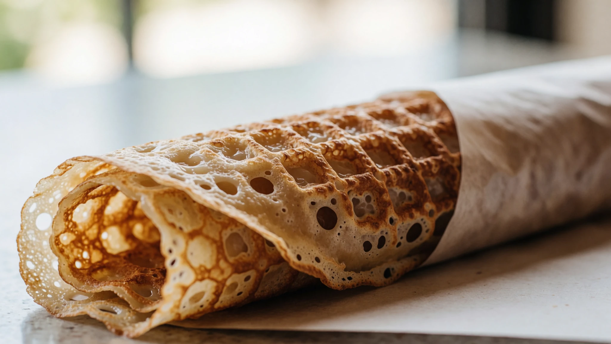
- Cochinita pibil — Yucatecan eateries around the Zócalo
Pork marinated in citrus juice and annatto, then slow-cooked until it falls apart. It is a Yucatecan staple, usually served in soft tortillas with pickled red onion. Look for it at eateries serving Yucatán meals close to the main square, where the menus are built around regional cooking.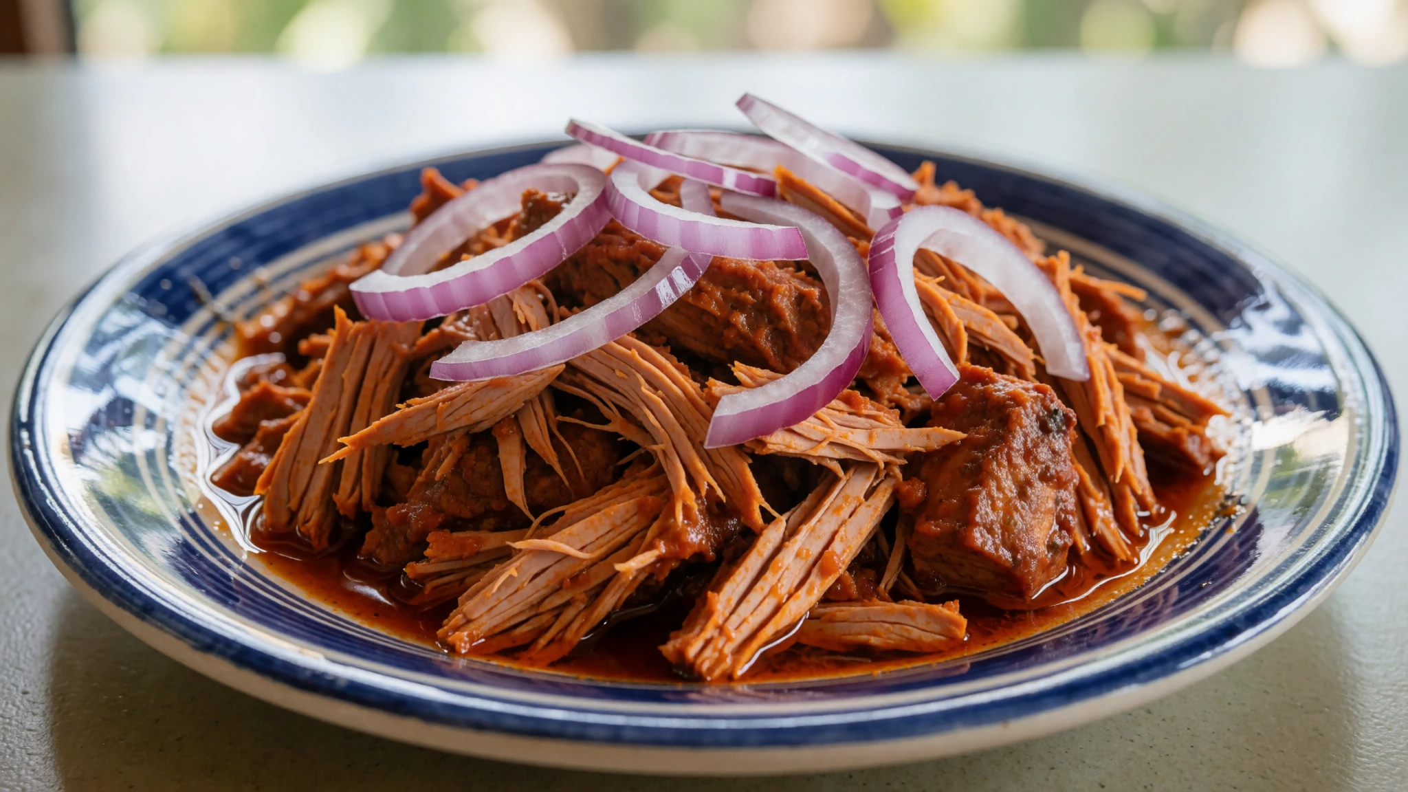
- Lagoon-side seafood — Waterfront restaurants on the lagoon shore
Fresh-caught fish and seafood on tables with a view of the water, sometimes with a marlin taco on the menu. The best places have outdoor seating, so you can eat with the lagoon in front of you. Order a plate of grilled fish and some lime-heavy sauces, then sit a while. - Mezcal and cocktails — Lakeside mezcalerías and bars
Open-air bars by the water pour a wide range of small-batch mezcal, often with cocktails built around local fruit and herbs. Ask the bartender to explain the agave behind each bottle, since the flavours differ widely. A lakeside mezcalería is a good place to end a warm afternoon. - Yucatecan street snacks — Morning market stalls and corner snack carts
Small corn-based snacks such as panuchos, fried tortillas with a bean base and toppings, are sold at market stalls and corner carts. They are cheap and filling, and they suit a late breakfast before a long day on the lagoon. Go early in the morning, when the stalls are busiest with local customers.
Plan it
Best time. February to April is the driest stretch, with little rain, though afternoons reach the high 30s °C in March and April. January and February are the most comfortable months, with cooler mornings and lower humidity for boat trips and cenotes. From roughly May to October the heat and humidity build, and rain and storms are more frequent, with the Caribbean hurricane season running through the autumn. Check forecasts before you travel, since conditions change from year to year.
How long. 2–3
Getting there. Fly into Cancún, the usual gateway, then travel by bus or car. Driving from Cancún takes about 5 hours, and from Tulum about 2½ hours on Highway 307, passing through the Sian Ka'an Biosphere Reserve. Buses from Tulum, Chetumal and other cities arrive at the ADO bus station about 1 km outside the centre, and shared vans (colectivos) run from Tulum and Chetumal.
Budget. low
Tips
- Check the lagoon's Wednesday closure for activities before you plan your week
- Book boats and kayaks in the morning, when the water is calmest and the light is clear
- Afternoon boat tours leave when the sun is less strong, but use sun cream anyway
- Carry cash for small eateries, cenote entry and taxis, and check current prices on the official site
- Take plenty of drinking water and go early to the cenotes to find shade and space
Etiquette
- Use reef-safe sun cream and avoid touching the stromatolites or lagoon mats
- Stay on marked paths and steps at the cenotes, and dive only where the operator says it is safe
- Ask before photographing people, especially at the Sunday evening music
Nearby
Sources
- Wikidata Q1709140 (CC0)
- Wikipedia: Bacalar (rev 1382058980) (CC BY-SA 4.0)
- Wikivoyage: Bacalar (rev 5407149) (CC BY-SA 4.0)
- Kiosko, Bacalar, holachetumal (CC BY 3.0)
- Bacalar Collage, AdriLov (CC BY-SA 4.0)
- Bacalar lagoon, Yosef Ben Melamed (CC BY-SA 4.0)
- Green In Bacalar, Yosef Ben Melamed (CC BY-SA 4.0)
- Bacalar Vista, descubriendoelmundo (CC BY-SA 2.0)
- Castillo de San Felipe, Bacalar, holachetumal (CC BY 3.0)
- Profundidad del Cenote, holachetumal (CC BY 3.0)
- A Piece Of Paradise (158139607), Iván Macías (CC BY 3.0)


