Aulavik National Park
Aulavik National Park, Canada
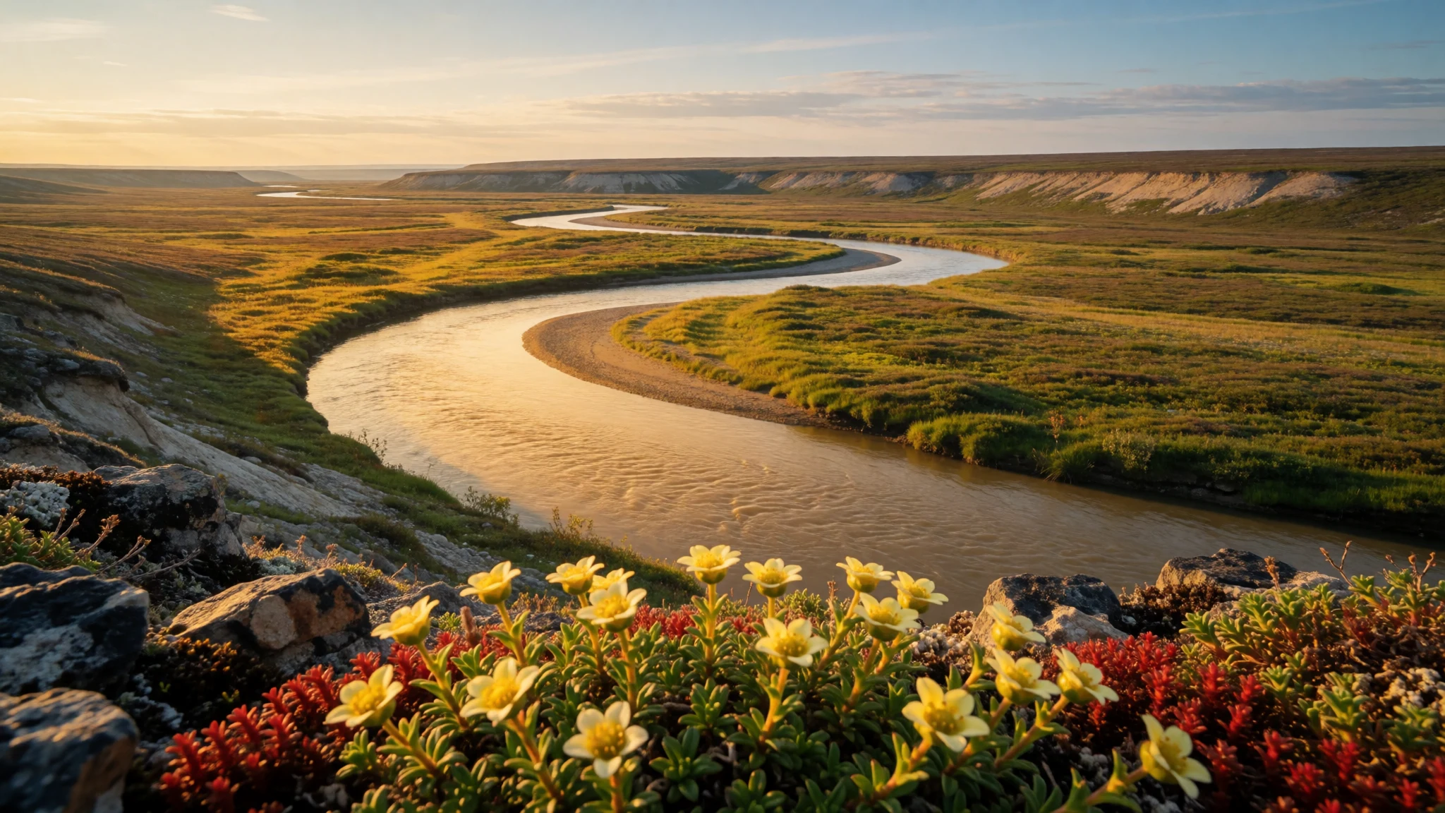
Aulavik National Park offers weeks of quiet paddling down an Arctic river, past grazing muskoxen, tundra wildflowers and old Inuvialuit camps, with no other travellers in sight.
The place
Aulavik National Park sits at the northern end of Banks Island in the Northwest Territories, well inside the Arctic Circle. Its name comes from Inuvialuktun and means roughly "place where people travel", which suits a landscape organised around one slow river, the Thomsen. The park was established in 1992 and has no road, no town and no built facilities for visitors. It is reached by chartered light aircraft that land at a few designated sites. The ground is low, open tundra with no trees at all, and in the south a sparsely vegetated plateau rises above the lowlands. This is a polar desert: very little rain or snow falls in a year, and wind is the defining feature of the weather, often strong and relentless for days at a time. Muskoxen are the animals most visitors come for, grazing in herds along the river valley, and the island holds a very large population of them. Peary caribou, Arctic foxes, hares, lemmings and wolves share the tundra, while snowy owls and falcons hunt overhead. Ptarmigan and ravens stay through winter; most other birds arrive only for the short summer. Polar bears, seals and whales live along the north coast. Wildflowers cover the ground in surprising variety once the thaw comes. It is a place for self-reliant paddlers and walkers rather than casual sightseers.
Its story
Aulavik National Park lies on land that people have crossed for a very long time. Pre-Dorset families lived in this part of Banks Island before the Thule culture spread through the southern end of the island. When the climate cooled during the Little Ice Age, the island was most likely left empty for a stretch, and the Inuvialuit later returned to it. Their stone tent rings, which once weighted down the edges of hide shelters, still sit on the banks of the Thomsen River. The best-known outsider story belongs to the Royal Navy. Captain Robert McClure took HMS Investigator into the Arctic while searching for the lost Franklin expedition, and the ship became trapped in the ice of Mercy Bay on the park's north coast. McClure and his crew endured winters there, then abandoned the vessel and crossed the sea ice of the strait to reach another ship, HMS Resolute. The wreck and its supplies did not go to waste. Copper Inuit travelled from Victoria Island to salvage metal and wood left behind, and they hunted caribou and muskoxen nearby, as the many surviving food caches show. Parks Canada now protects the whole area, and archaeological sites are treated as off limits for camping.
What to see
- The Thomsen River by canoe — Thomsen River valley
The Thomsen River runs the length of Aulavik National Park, and paddling it is the main reason to come. The current is gentle, which makes a multi-week trip realistic for experienced groups. Banks of tundra, clay bluffs and side channels slide past, and wildlife often appears at the water's edge. Expect headwinds more than rapids.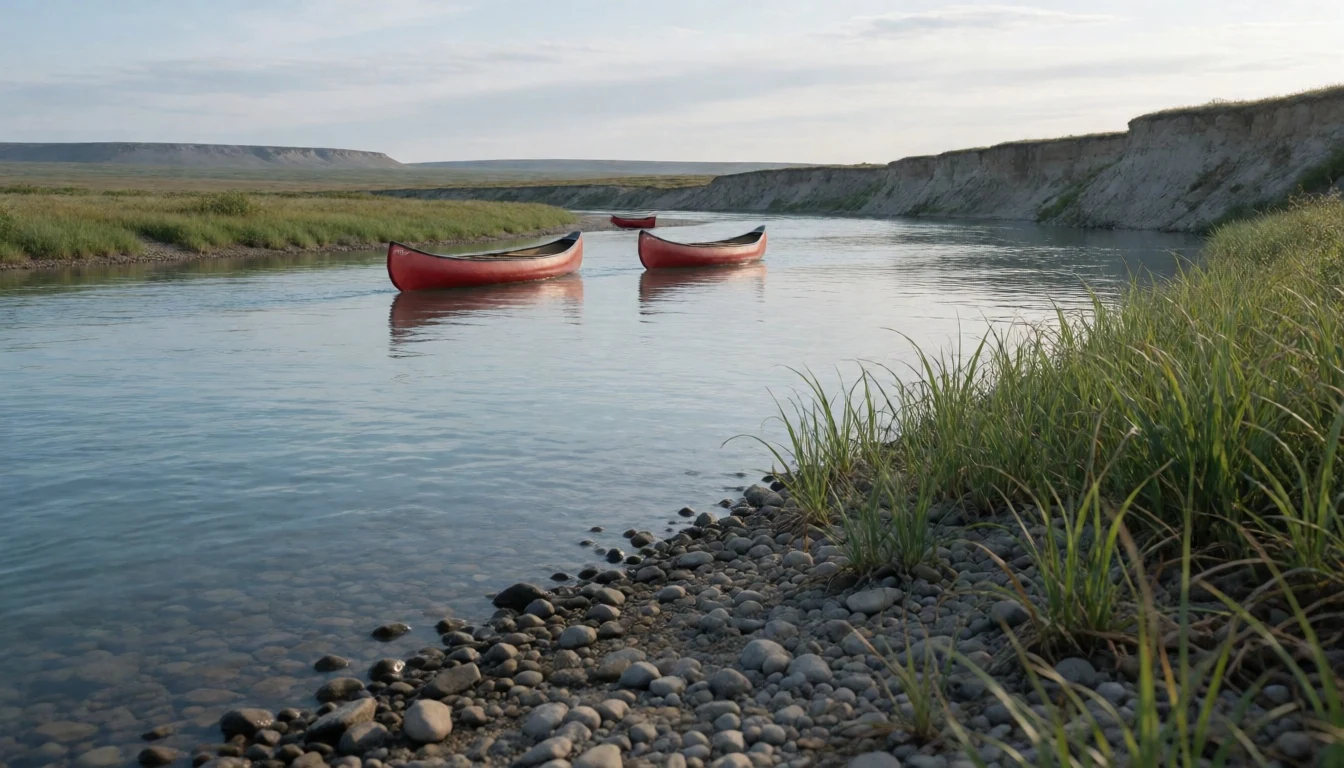
- Muskox herds on the river flats — Thomsen River flats
Muskoxen gather in herds on the grassy flats beside the Thomsen, and a canoe lets paddlers watch them from a respectful distance. Their shaggy coats hang almost to the ground. Bring binoculars, keep well back, and never come between a calf and the adults, especially on foot.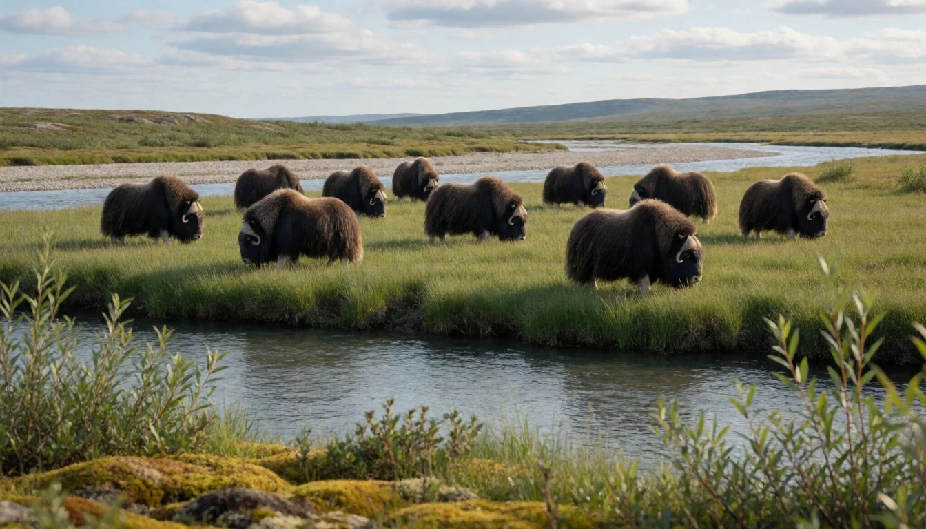
- Tent rings along the riverbank — Thomsen River banks
Circles of stones on the riverbank mark places where hide tents were pinned down by earlier travellers on the Thomsen. They are easy to walk past without noticing. Look, photograph them in place, and leave every stone where it lies; camping at archaeological sites is not allowed.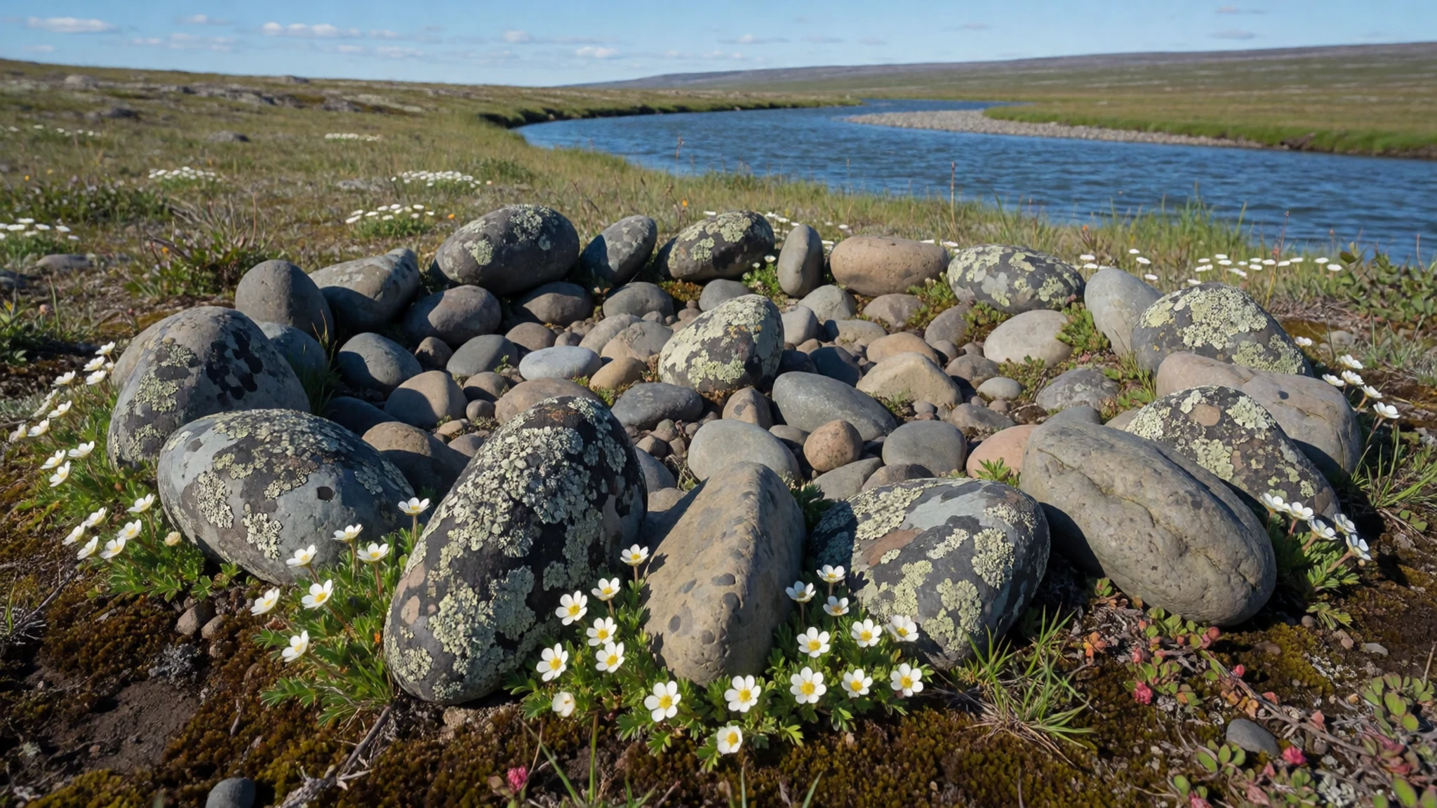
- Tundra wildflowers — Northern lowlands
In July the lowland tundra turns patchy with small flowers, none taller than a boot. Walking has no marked trails, so the best views come from choosing a ridge and wandering. Cloud and cold air often roll in off the Arctic Ocean, so keep layers in the pack even on bright days.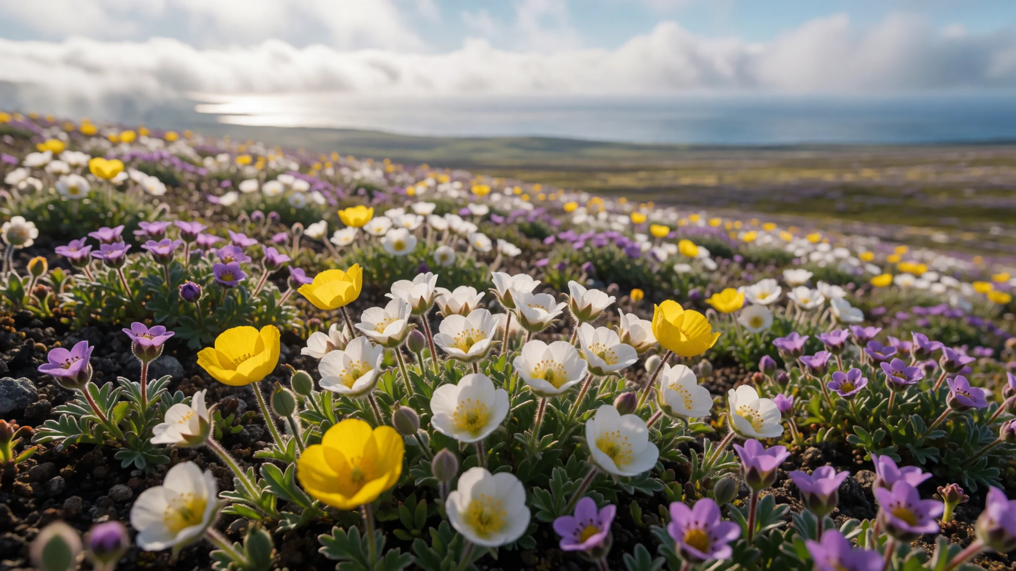
- Mercy Bay — North coast
Mercy Bay on the north coast is where HMS Investigator was abandoned during the search for Franklin. Today it is a remote, windy stretch of shoreline with sea ice well into the season. Little remains to see beyond the setting itself, so it suits those who care about the history and can arrange the logistics.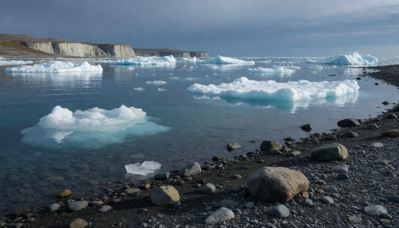
- Sachs Harbour park office — Sachs Harbour
Sachs Harbour is the island's only community, but the Park Office in Inuvik is the place to learn about conditions, safety and the people of Banks Island before heading out. Staff can explain current advice on low-impact camping and landing sites. Check the official Parks Canada site for contact details.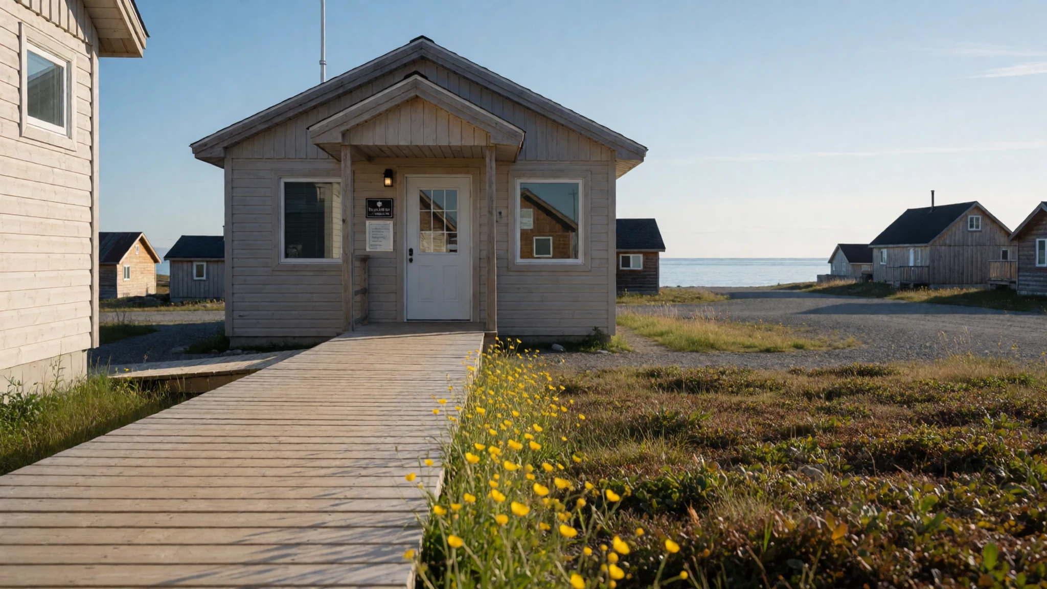
Culture
Aulavik National Park is Inuvialuit homeland, and its culture is best understood as a long habit of travel and hunting along the Thomsen River. The Inuvialuit, who live today mainly in communities such as Sachs Harbour, trace their connection to the land through generations of fishing, caribou and muskox hunting, and seasonal movement. Copper Inuit from further east also came to the area, and earlier peoples left traces that archaeologists still study. The landscape holds this history openly: tent rings, food caches and old hunting sites sit on the surface of the tundra, unfenced and unsigned. Knowledge of weather, ice and animal behaviour is passed on through families, and local guidance still matters more than any map. Music, drumming, storytelling and sewing remain living parts of community life in the western Arctic, though visitors to the park itself will meet them mostly through conversation in Sachs Harbour or Inuvik rather than at any site. The park is also a working part of the island's hunting land, so respect for local use of the country goes together with respect for the animals and the quiet. Leave every stone ring, cache and artefact exactly where you find it, photograph without touching, and never camp on an archaeological site.
What to wear
Aulavik National Park has no resident population, so its dress traditions belong to the Inuvialuit and Copper Inuit communities of the wider region. Traditional clothing was made from caribou and sealskin, cut for warmth in extreme cold: hooded parkas, trousers, mittens and soft skin boots called kamiks, stitched with sinew and often finished with fur trim. Women's parkas were cut full to carry a child, and cotton overparkas later became common, often decorated with bands of colour and braid. Skin and fur clothing is still made and worn for hunting and for ceremonies, but everyday dress in Sachs Harbour and Inuvik now looks much like anywhere in northern Canada: insulated jackets, fleece, jeans and sturdy boots, with a hooded winter coat in the cold months. Visitors going into the park in summer should think in layers. Pack a windproof and waterproof shell, a warm mid-layer, a hat, gloves and thermal base layers, since the wind is relentless and the air stays cool even in July. Waterproof boots with good ankle support suit wet tundra and river landings. Add midge protection such as a head net, and sun cover for long daylight hours. No dress code applies in the park, but dress modestly and neatly when visiting communities.
What to eat
- Muskox — Community meals in Sachs Harbour
Muskox is a traditional meat of the western Arctic, eaten roasted, stewed or dried. Visitors are most likely to meet it at a community feast or a family meal in Sachs Harbour, when hosts choose to share it. It tastes rich and a little like lean beef.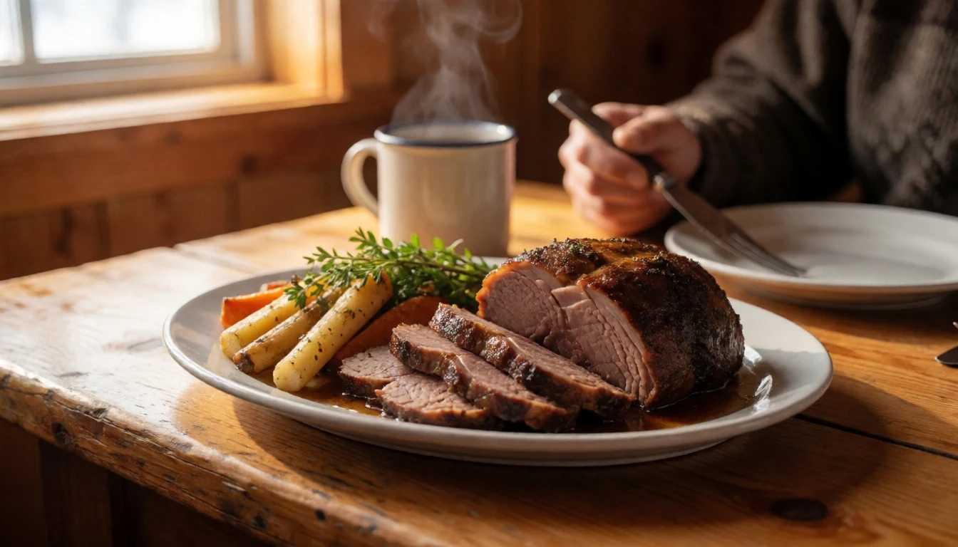
- Arctic char — Eateries in Inuvik
Arctic char is a cold-water fish that is boiled, pan-fried, smoked or air-dried. Its pink flesh is milder than salmon. In Inuvik it turns up on menus at local eateries; along the river, paddlers sometimes buy or are given a share by hunters.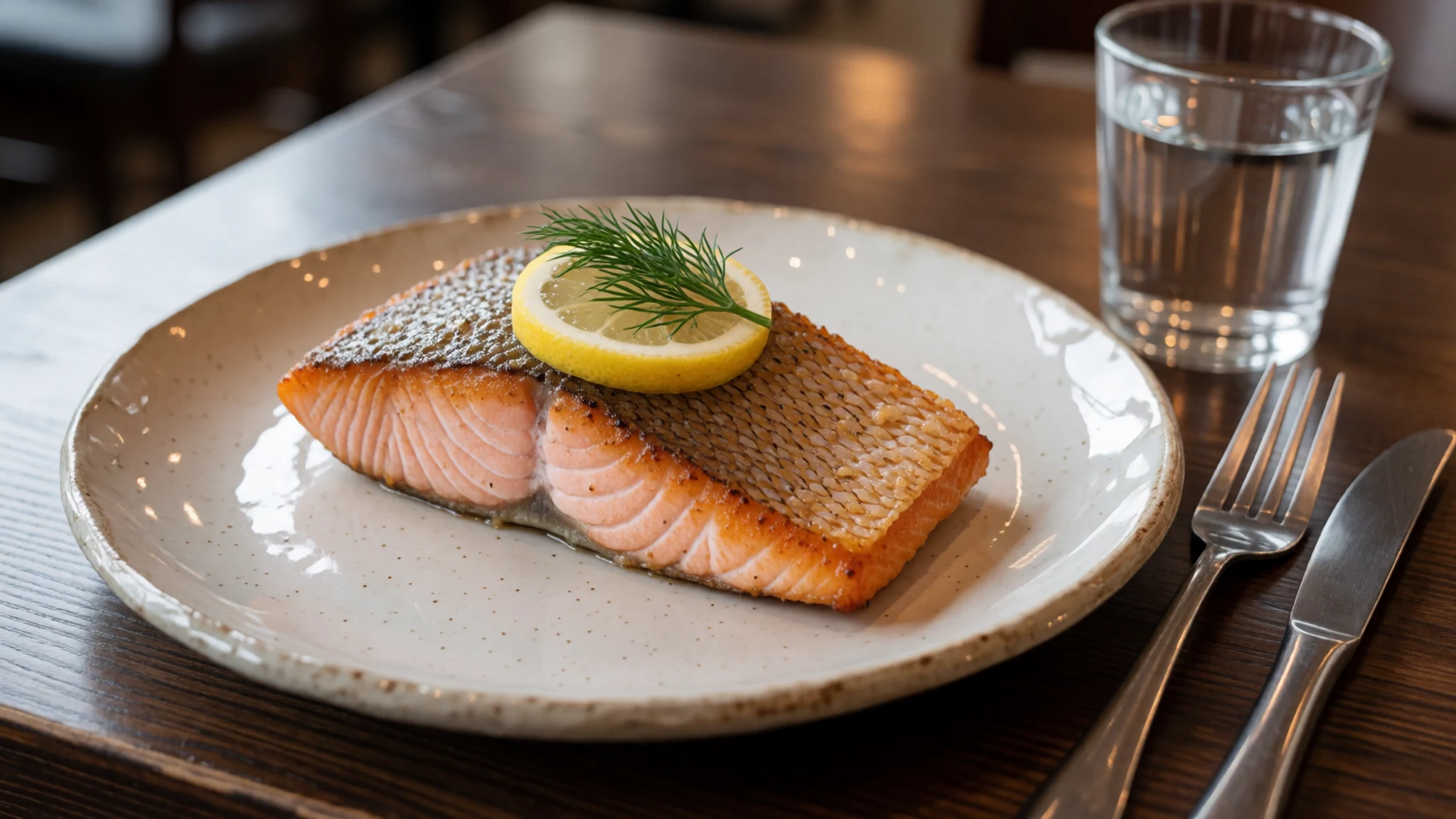
- Caribou stew — Community gatherings and family tables
Caribou is eaten fresh, dried or in slow stews with onion and root vegetables. It is a staple of country food across the western Arctic and often appears at community gatherings. The flavour is deep and slightly gamey, best on a cold evening. - Bannock — Home kitchens and community halls in Inuvik
Bannock is a simple, dense bread of flour, fat and baking powder, fried in a pan or baked over heat. It is served with soup, fish or jam. Many northern kitchens have their own version, and it travels well on trips. - Camp-stove river meals — Your own tent kitchen, planned in Inuvik
On the river, meals are whatever the pack carries. Campfires are banned, so everything is cooked on a stove with bottled fuel. Expect noodles, dried meals, tea and oatmeal, planned ahead and packed out. Fuel cannot go on scheduled flights, so buy it in Inuvik.
Plan it
Best time. July and August, when the short Arctic summer opens the river and the charter flights run; the tundra flowers peak in July. The park is a polar desert with strong, prolonged winds, so cold, gusty days are normal even in summer.
How long. 7–14
Getting there. Fly to Inuvik, which has daily flights from southern Canada and is also reached by the Dempster Highway. From there, book a charter aircraft to one of the park's landing sites. Check the official Parks Canada site (https://www.pc.gc.ca/en/pn-np/nt/aulavik) and contact the park office before planning.
Budget. high
Tips
- Book the charter flight and park registration well ahead, as access is only possible for a short summer window
- There are no designated campsites, so practise no-trace camping and pack out all rubbish
- Bring a high-quality tent that can withstand fierce, prolonged wind
- Campfires are banned, so carry a stove and bottled fuel bought in Inuvik, as scheduled flights do not carry fuel
- Carry spare food and a satellite communication device, since there is no mobile coverage or rescue nearby
Etiquette
- Do not camp at archaeological sites, and leave tent rings and caches undisturbed
- Keep a respectful distance from muskoxen and other wildlife
- Ask permission before photographing people in Sachs Harbour or Inuvik
Nearby
Sources
- Wikidata Q771612 (CC0)
- Wikipedia: Aulavik National Park (rev 1362695775) (CC BY-SA 4.0)
- Wikivoyage: Aulavik National Park (rev 5115351) (CC BY-SA 4.0)
- Stephan Sprinz, Thomsen River 08, via Wikimedia Commons (CC BY 4.0)
- Gierszep, Aulavik muskox, via Wikimedia Commons (CC BY-SA 4.0)
- Gierszep, Aulavik Back Channel site, via Wikimedia Commons (CC BY-SA 4.0)
- Samuell, Aulavik banner, via Wikimedia Commons (CC BY 4.0)
- Gierszep, Aulavik field of flowers, via Wikimedia Commons (CC BY-SA 4.0)
- Samuell, Aulavik office, via Wikimedia Commons (CC BY 4.0)
- Gierszep, Aulavik tent ring stones, via Wikimedia Commons (CC BY-SA 4.0)
- Stephan Sprinz, Thomsen River 07, via Wikimedia Commons (CC BY 4.0)


