Toubkal National Park
Toubkal National Park, Morocco
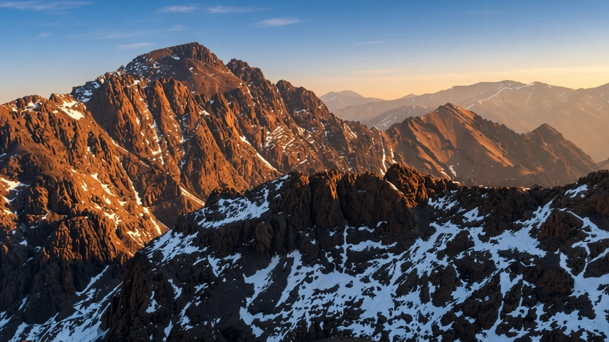
Toubkal National Park offers dramatic High Atlas peaks, traditional Amazigh settlements, and accessible high-altitude trekking across North Africa's highest summit.
The place
Toubkal National Park protects a rugged, high-altitude landscape in the central High Atlas range of Morocco. Set apart by deep river gorges, steep rocky ascents, and high-level plateaus, the protected area reaches its crown at Jbel Toubkal. The terrain varies dramatically with elevation, shifting from terraced river valleys and juniper-covered hillsides to barren scree slopes and winter snowfields that persist on the highest ridges. Visitors travelling through the park encounter a landscape shaped by centuries of seasonal movement, traditional mountain farming, and water management channels that divert glacial meltwater to terraced orchards of apple, walnut, and cherry.
The reserve serves as a vital sanctuary for regional wildlife, including resident populations of Barbary partridges, woodpeckers, and various warblers and redstarts that inhabit the scrub and rocky slopes. Access points are few due to the vertical nature of the terrain, with most routes beginning from valley settlements where mule tracks form the primary transport network. The air is exceptionally clear, though mountain weather can shift quickly from warm daytime sun to freezing overnight temperatures, making preparation essential for anyone leaving the valley floors. Traditional footpaths connect remote communities that remain isolated during winter storms, preserving a way of life that relies heavily on livestock grazing and seasonal harvests.
Its story
Toubkal National Park was established to safeguard the fragile high-mountain ecosystems and wildlife of the High Atlas range. For generations, the valleys within the park have been home to Amazigh communities who built stone-and-earth settlements clinging to steep slopes, terraced every available patch of soil for crops, and managed communal pastures stretching up towards the rocky summits. These mountain dwellers developed sophisticated systems for sharing irrigation water and maintaining stone paths that link isolated hamlets across high mountain passes.
During the twentieth century, the arrival of European mountaineers transformed the region into a major hub for trekking and alpine exploration in North Africa. Cartographers, botanists, and climbers began mapping the high ridges, leading to the construction of stone refuges at higher elevations to shelter visitors attempting the summit climbs. Despite these modern connections, local families continue to farm the terraced slopes using traditional methods, tending walnut groves and herding sheep and goats across ancient pastures. The introduction of mountain tourism has brought new economic opportunities to valley settlements, altering local livelihoods while villagers work to preserve their architectural heritage, language, and communal customs against the pressures of modern regional development.
What to see
- Jbel Toubkal — Central High Atlas ridge
Rising to its full elevation, this summit is the highest peak in North Africa and the Arab world. Climbing it requires stamina rather than technical mountaineering skills, with most travellers completing the journey over multiple days from the valley floor with overnight stops at mountain refuges.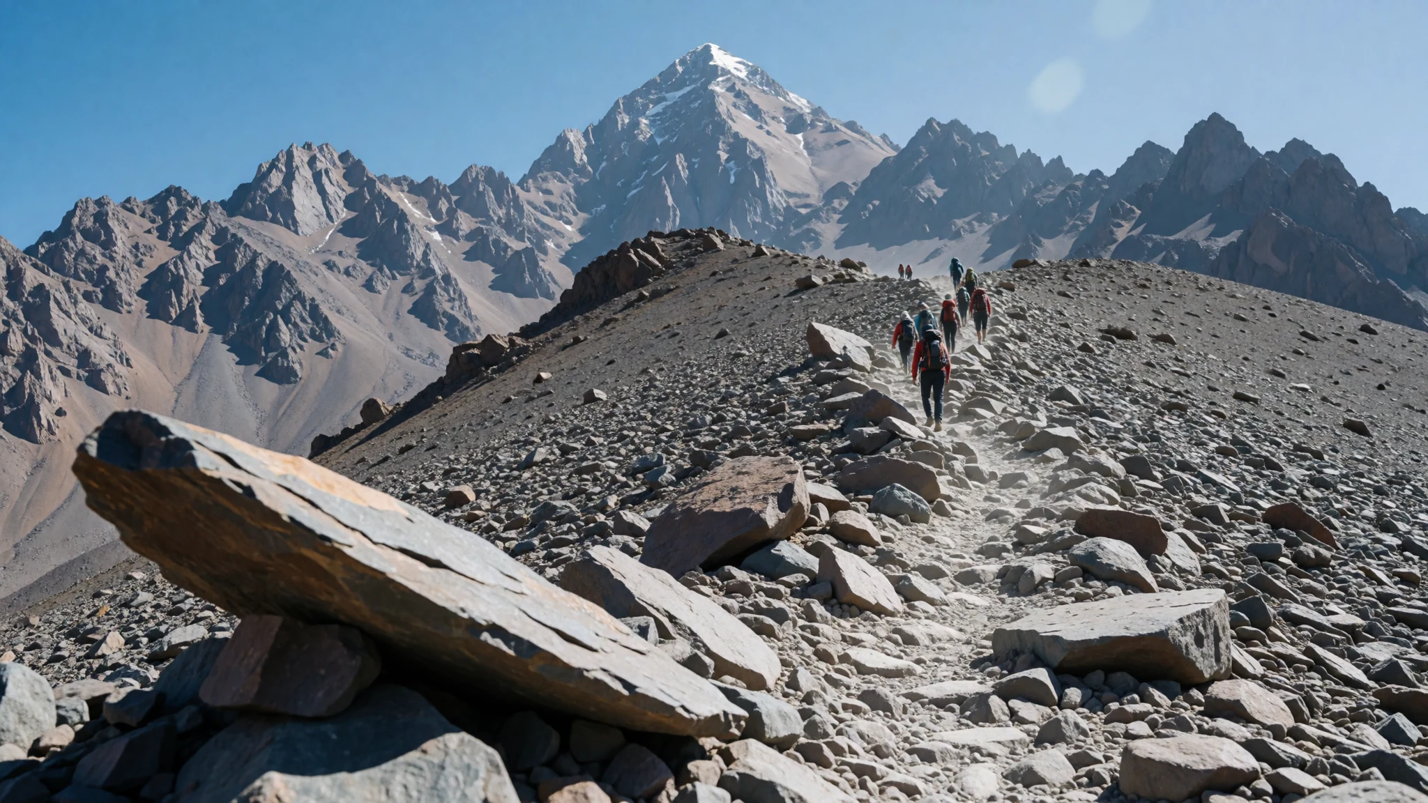
- Village d'Imlil — Imlil Valley
Situated in Toubkal National Park at an elevation of 1,800 metres, this lively mountain settlement acts as the primary starting point for nearly all trekking routes and summit ascents. Walnut trees shade the stone houses, and local guides gather near the main square to offer advice and mules.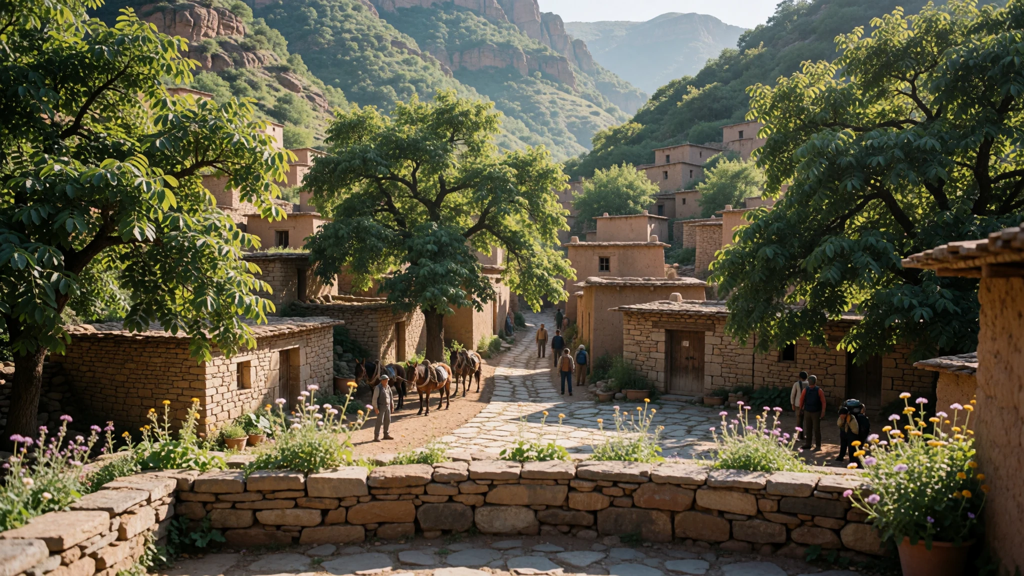
- Aroumd Village — Aït Mizane Valley
Perched on a high moraine shelf above the valley floor, this traditional settlement gives visitors a clear view of local rural architecture. Flat-roofed stone houses blend directly into the rocky hillside, surrounded by terraced fields where families cultivate barley and fruit trees.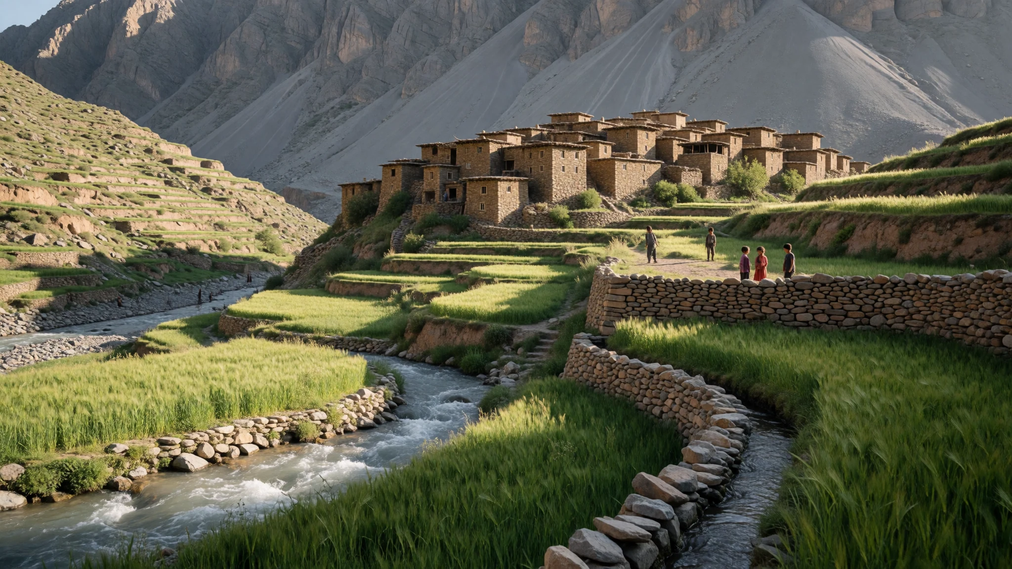
- Sidi Chamharouch Shrine — Aït Mizane Valley route
Located along the main trekking path towards the higher refuges, this revered pilgrimage site features a white-painted boulder beside a rushing stream. It serves as a traditional resting place where travellers stop for tea and local food during the long ascent.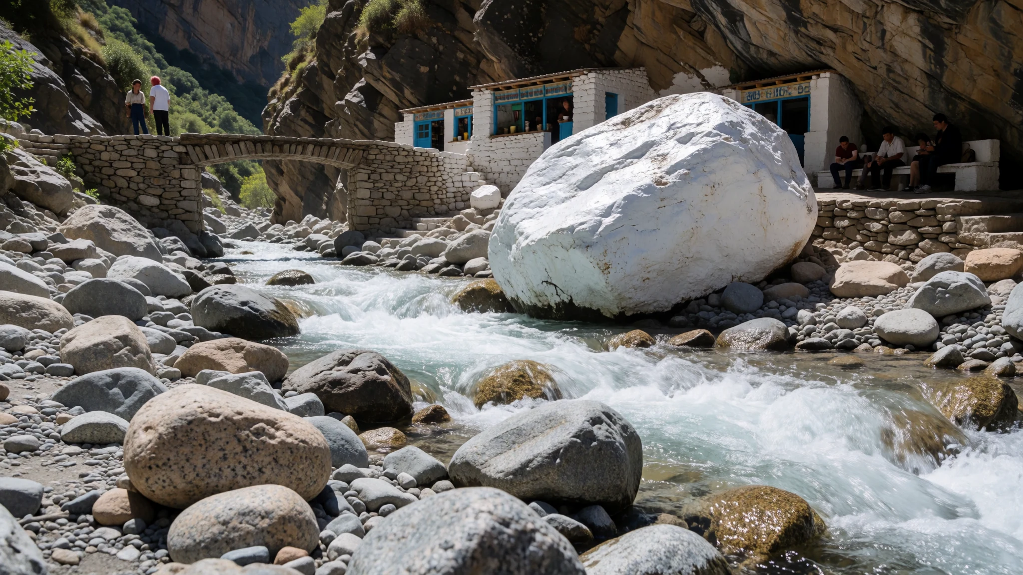
- Azib Tamsoult — Western Toubkal range
This high-altitude pasture area offers an alternative western approach to the park's interior, featuring stone shepherd huts, dramatic gorges, and a high waterfall. The trail crosses high mountain passes with expansive views before descending toward the central alpine zone.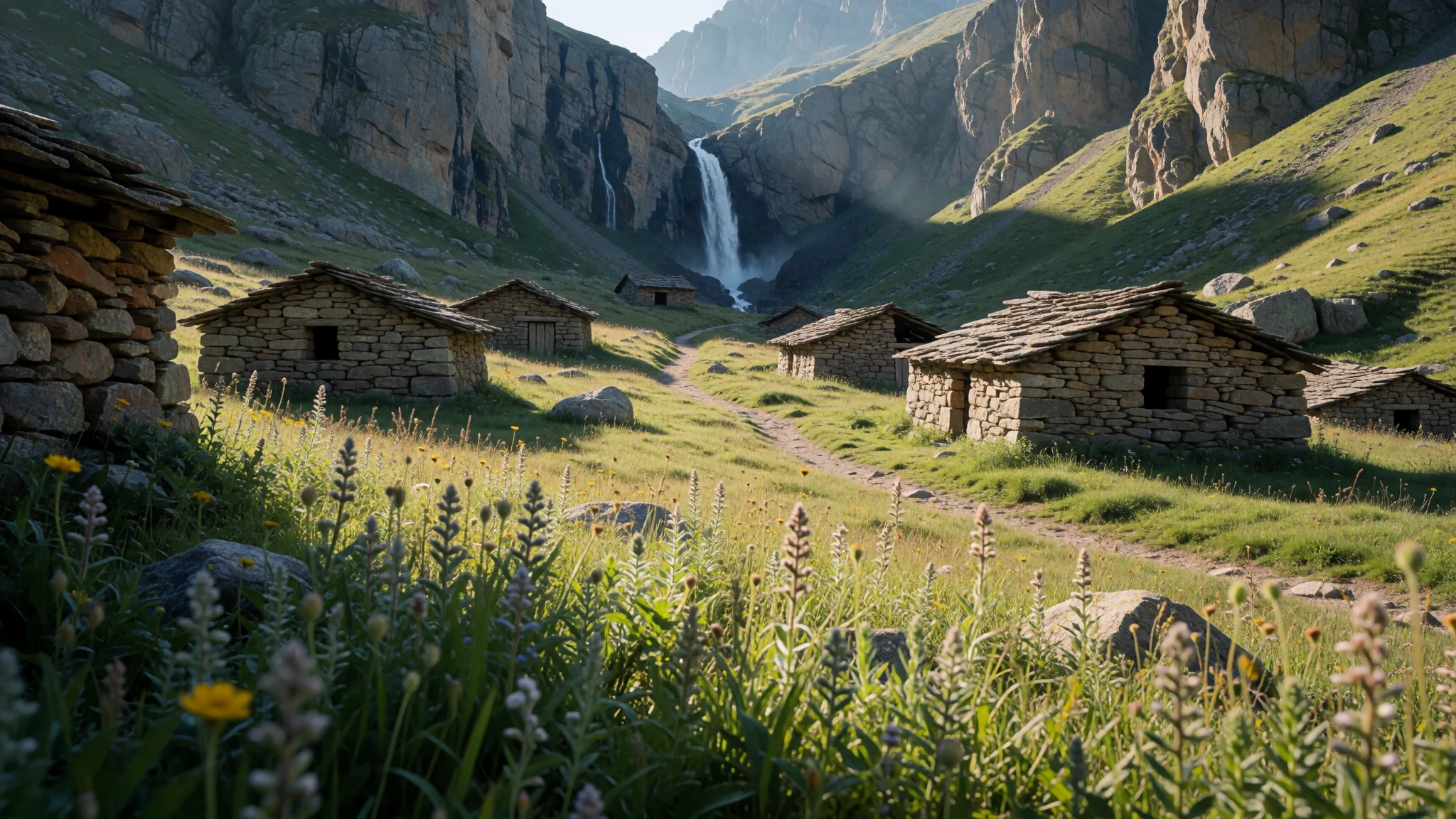
Culture
Toubkal National Park is deeply rooted in Amazigh traditions, where community life, oral history, and customary laws govern daily interactions in the mountain settlements. Hospitality is considered a sacred duty among local families, who frequently welcome weary travellers into their stone homes with a pot of sweetened mint tea and freshly baked bread. Traditional music, seasonal festivals, and communal agricultural labour reinforce social bonds across the high valleys, while elders preserve historical knowledge through storytelling and customary governance. Visitors should dress modestly out of respect for local conservative values, covering shoulders and knees when walking through villages or visiting shrines. Always ask for permission before photographing local residents, particularly women and children.
What to wear
In Toubkal National Park, traditional attire reflects the demands of a harsh mountain climate and Amazigh heritage. Older residents often wear heavy woollen djellabas with pointed hoods, hand-woven blankets fastened with silver fibulae, and sturdy leather babouches or wrapped sandals suited for rocky paths. Younger villagers now blend these traditional wool garments with commercially manufactured jumpers, fleece jackets, and durable trousers suitable for farm work and mule handling. For visitors tackling the high trails, practical outdoor clothing is essential: moisture-wicking base layers, windproof and waterproof shell jackets, warm fleece mid-layers, and sturdy, broken-in walking boots with ankle support. Because temperatures drop rapidly at higher elevations and UV rays are intense during the day, hats, gloves, sunglasses, and high-factor sunscreen are mandatory items regardless of the season.
What to eat
- Mountain Tagine — Village guesthouses and refuges
A slow-cooked stew of meat and seasonal vegetables simmered with aromatic spices in a conical earthenware dish. You can find this hearty dish prepared over charcoal embers in village guesthouses and mountain refuges throughout the park.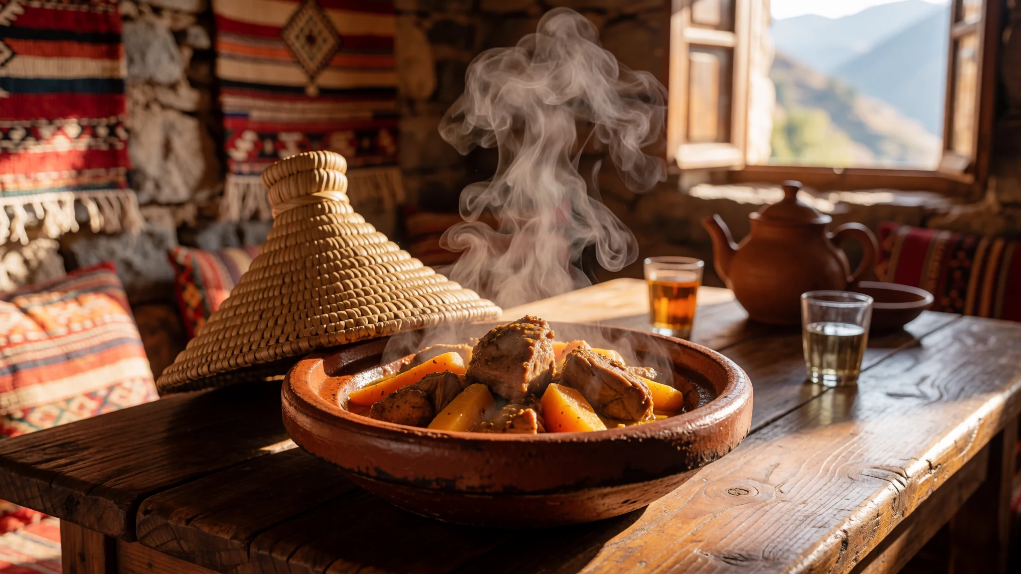
- Moroccan Mint Tea — Every village teashop and home
A sweet, invigorating infusion of green tea leaves and fresh spearmint poured from a height to create a frothy top. This warm beverage is offered as a welcoming gesture in every home, teashop, and mountain rest stop.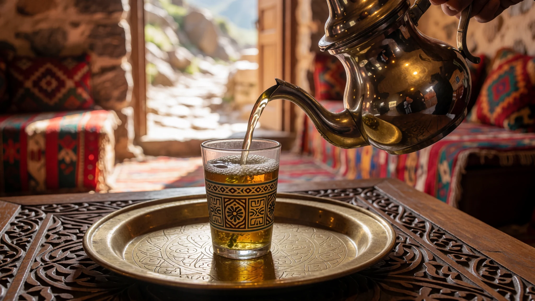
- Harira Soup — Local village eateries
A thick, nourishing soup made from tomatoes, lentils, chickpeas, lamb pieces, and fragrant herbs, thickened with flour. It is commonly served warm in mountain eateries to help trekkers recover energy after a long day of walking. - Fresh Khobz Bread — Village bakeries and homestays
Round, flat loaves of dense, crusty bread baked daily in communal wood-fired ovens across the mountain settlements. Tear off a piece by hand to scoop up stews, tagines, and jams during meals. - Amlou Spread — Morning breakfast tables in Imlil
A rich, energy-dense paste prepared by blending roasted almonds, argan oil, and pure honey into a smooth consistency. It is traditionally served at breakfast spread over warm bread to fuel hikers before heading onto the mountain trails.
Plan it
Best time. May to October offers clear trails and accessible high passes, while winter brings heavy snow suitable for mountaineering.
How long. 3–4
Getting there. Take a shared grand taxi from near Bab-er-Rob in Marrakech to Imlil, taking roughly 75 to 90 minutes for the journey.
Budget. mid
Tips
- Start early in the morning to beat the afternoon heat and complete mountain ascents before weather changes.
- Carry sufficient cash in local currency, as card payments are unavailable in mountain villages and refuges.
- Acclimatise properly to altitude before attempting the summit climb to avoid altitude sickness.
- Pack layers of warm clothing, as temperatures at high refuges drop below freezing even in spring and autumn.
Etiquette
- Dress modestly with covered shoulders and knees out of respect for local Amazigh communities.
- Always ask permission before taking photographs of local residents or children.
Nearby
Sources
- Wikidata Q1969097 (CC0)
- Wikipedia (CC BY-SA 4.0)
- Wikivoyage (CC BY-SA 4.0)
- Photo 01-village-d-imlil.jpg (CC BY 3.0)
- Photo 02-toubkal-national-park-01.jpg (CC BY-SA 4.0)
- Photo 04-toubkal-national-park-en.png (CC BY-SA 4.0)
- Photo 05-armed-village-in-toubkal-national-park.jpg (CC BY-SA 4.0)
- Photo 07-2.jpg (CC BY-SA 4.0)


