Arthur's Pass National Park
Arthur's Pass National Park, New Zealand
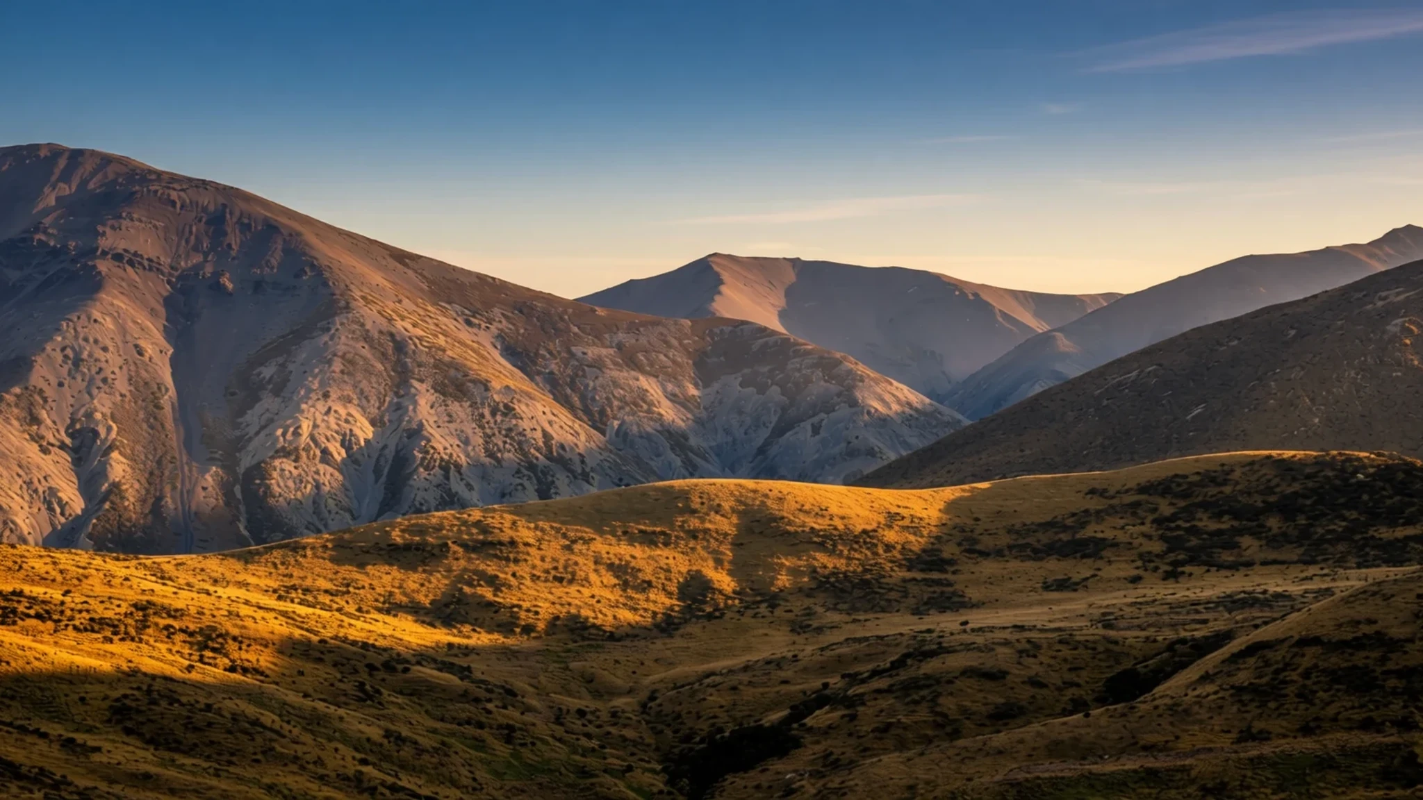
The ultimate South Island escape for high-altitude hiking and close encounters with the cheeky kea.
The place
Arthur's Pass National Park is a rugged mountain park on the South Island of New Zealand, bisected by a highway that cross the Southern Alps at a height of 920 metres. Established in 1929, it protects a diverse landscape shaped by glaciers. The terrain changes dramatically from one side of the saddle to the other. The western side is covered in dense rainforest, home to mixed podocarp forest and rata trees, while the eastern side features drier mountain beech forest and wide, stony riverbeds. The valleys are typically U-shaped, carved by ancient ice flows over thousands of years.
The park surrounds a small settlement named Arthur's Pass, which acts as the primary gateway for visitors. This village is a hub for hikers, trappers, and conservationists. Local communities have long maintained the tracks and managed the park's resources. The geography is defined by the divide between the West Coast and Canterbury plains. Rivers such as the Hawdon flow through the western forests, while the Waimakariri drains the eastern side. The park is adjacent to the Craigieburn Forest Park, creating a large protected area. The high-altitude environment makes it a critical sanctuary for alpine flora and fauna. The change in weather from one side of the pass to the other is often abrupt, with clear sun on one side and heavy rain on the other, typical of the New Zealand South Island's weather patterns.
Its story
The protection of the land around Arthur's Pass began under the Scenery Preservation Act of 1903, following earlier provisions in the 1885 Land Act. The establishment of the park was driven by a need to stop the destruction of native vegetation by tourists. Early railway excursions from Christchurch to the Otira Gorge became popular in the 1920s. During these trips, visitors often removed native flowers and cut down trees for rātā blooms. This widespread damage led to a strong public push for stronger legal protections. The park was officially established in 1929, becoming the first in the South Island and the third in the nation.
Charles Edward Warden was appointed the first park ranger upon its creation. Living in a modest cottage inside the park, he was responsible for marking tracks and advising visitors. Warden became a significant figure in New Zealand conservation, known for his dedication to preserving the natural state of the area. His work involved constant interaction with the rugged alpine environment. The park's history reflects the early 20th-century shift towards dedicated conservation management. It highlights the tension between tourism and environmental preservation. The legacy of the early rangers is still visible in the well-maintained trails that traverse the challenging terrain. The establishment of the park marked a turning point in how New Zealand managed its wild landscapes, setting a precedent for future national parks.
What to see
- Avalanche Peak Track — Arthur's Pass village car parks
This is the region's most famous high-altitude route, requiring a significant vertical ascent. It is a marked loop that takes roughly six to eight hours to complete. The summit offers unparalleled views across the Southern Alps and the glacial valleys below. Hikers should be prepared for steep, rough terrain that remains above the tree line for much of the return journey. The walk is a serious physical commitment but provides a profound sense of the landscape's scale.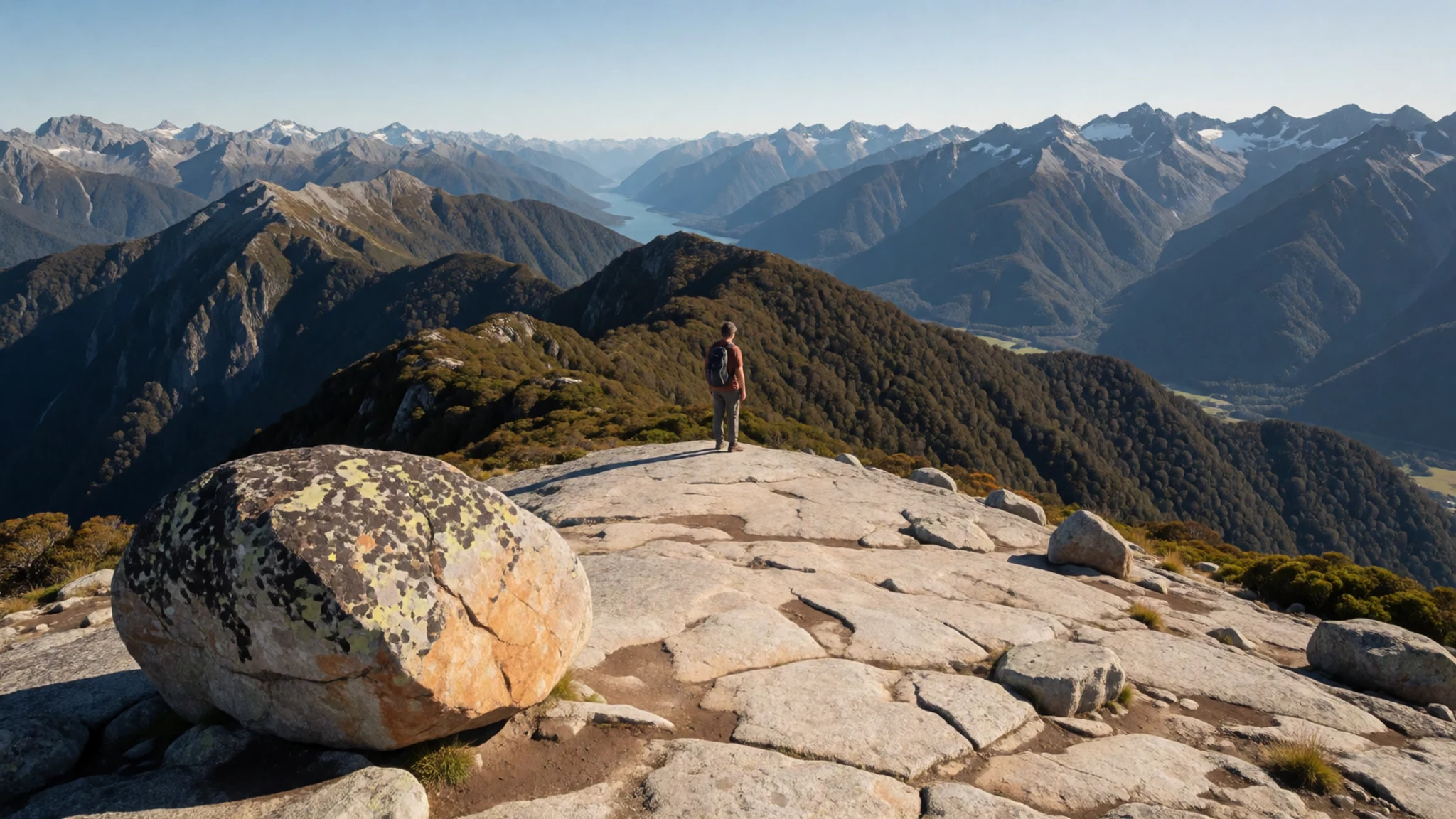
- Devil's Punchbowl Falls — Arthur's Pass village car parks
A short and accessible walk that leads to a powerful cascade plunging over dark rock. Located near the main village, this route is ideal for those who prefer a gentle stroll. The trail winds through native forest, offering a quiet introduction to the park's western side. It is a popular spot for families and casual walkers to enjoy the sounds of the river without the effort of a long-distance hike.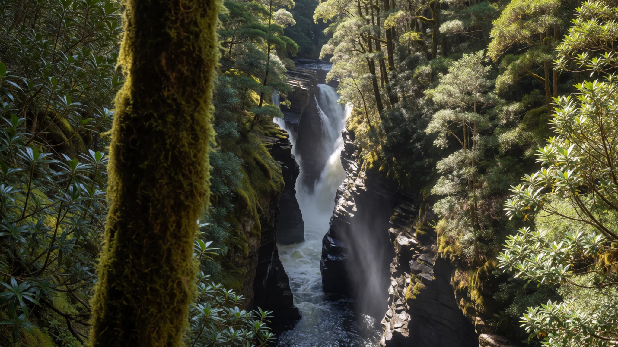
- Arthur's Pass Visitor Centre — Arthur's Pass village
This facility provides essential information on current track conditions and local wildlife. Inside, the displays detail the history of the area's early settlers and the geological forces that shaped the mountains. Dioramas illustrate the surrounding shelters and the alpine environment. The centre is the first stop for any hiker looking to plan a route safely. Staff here are knowledgeable about the weather changes that can occur over the pass.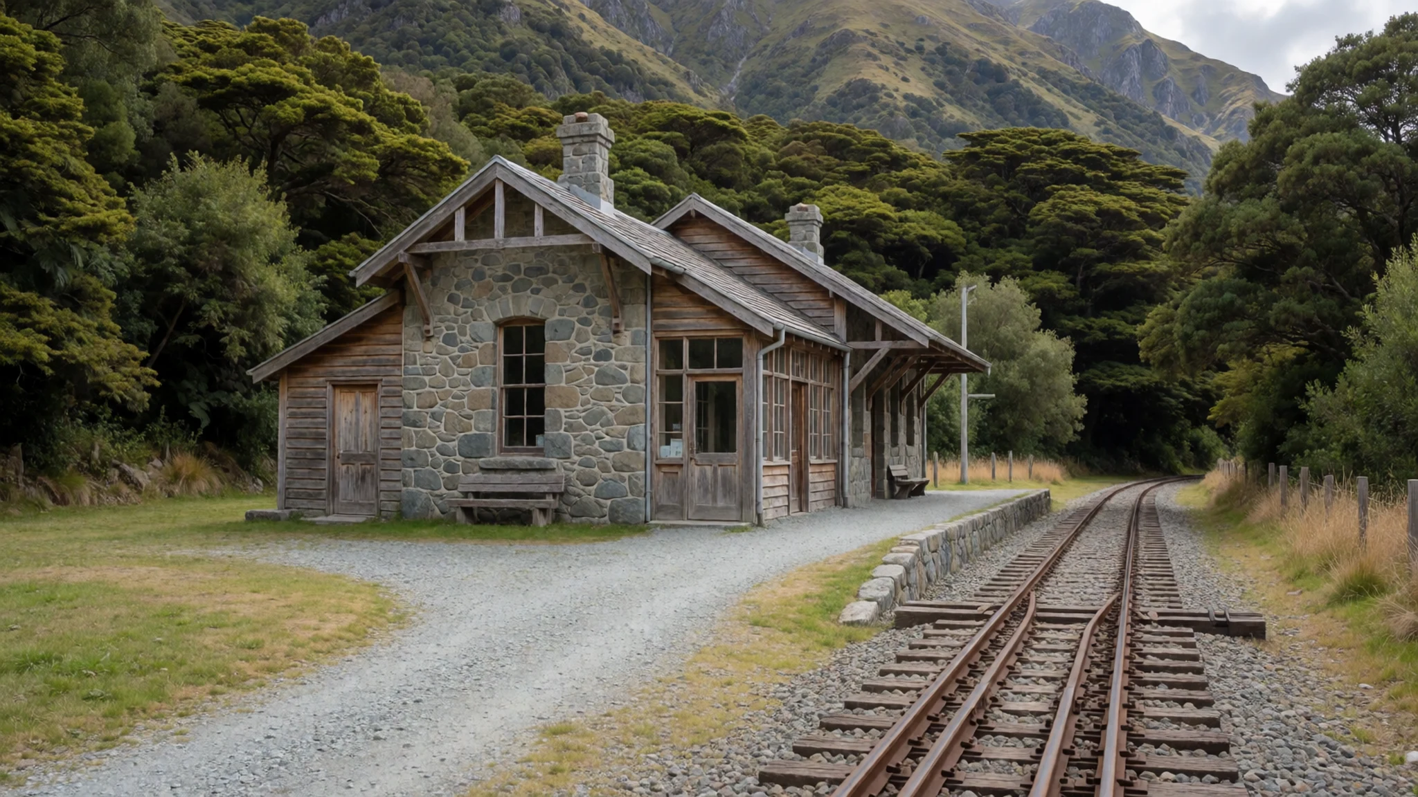
- Ranunculus lyallii Patches — Subalpine zones near the pass
During the summer months, the subalpine areas coming into bloom with this iconic yellow flower. Often called the Mount Cook lily, it thrives in the hebe scrub near the treeline. Walkers can find these colourful displays along the lower sections of major tracks. The flowers provide a vibrant contrast to the grey granite and green foliage of the high country. They are a key indicator of the park's alpine health and seasonal change.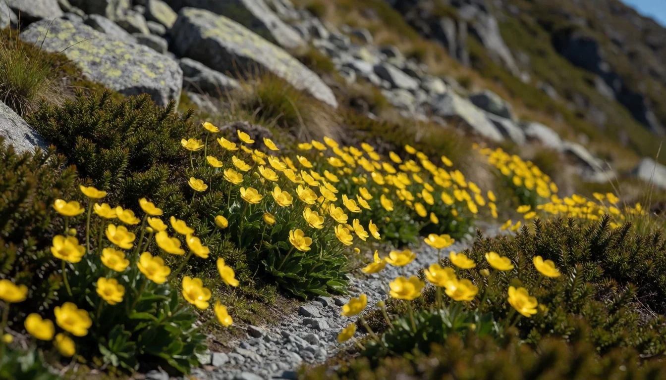
- Kea Encounters — High-altitude tracks and viewpoints
The alpine zone is home to the kea, a bright green parrot known for its curiosity. These birds frequently follow hikers on popular tracks, peering into packs and holding onto straps. They are intelligent and social, often gathering in groups at track junctions. Observers should keep their distance and avoid offering food. Their bold behaviour makes them a unique and memorable part of the wilderness experience.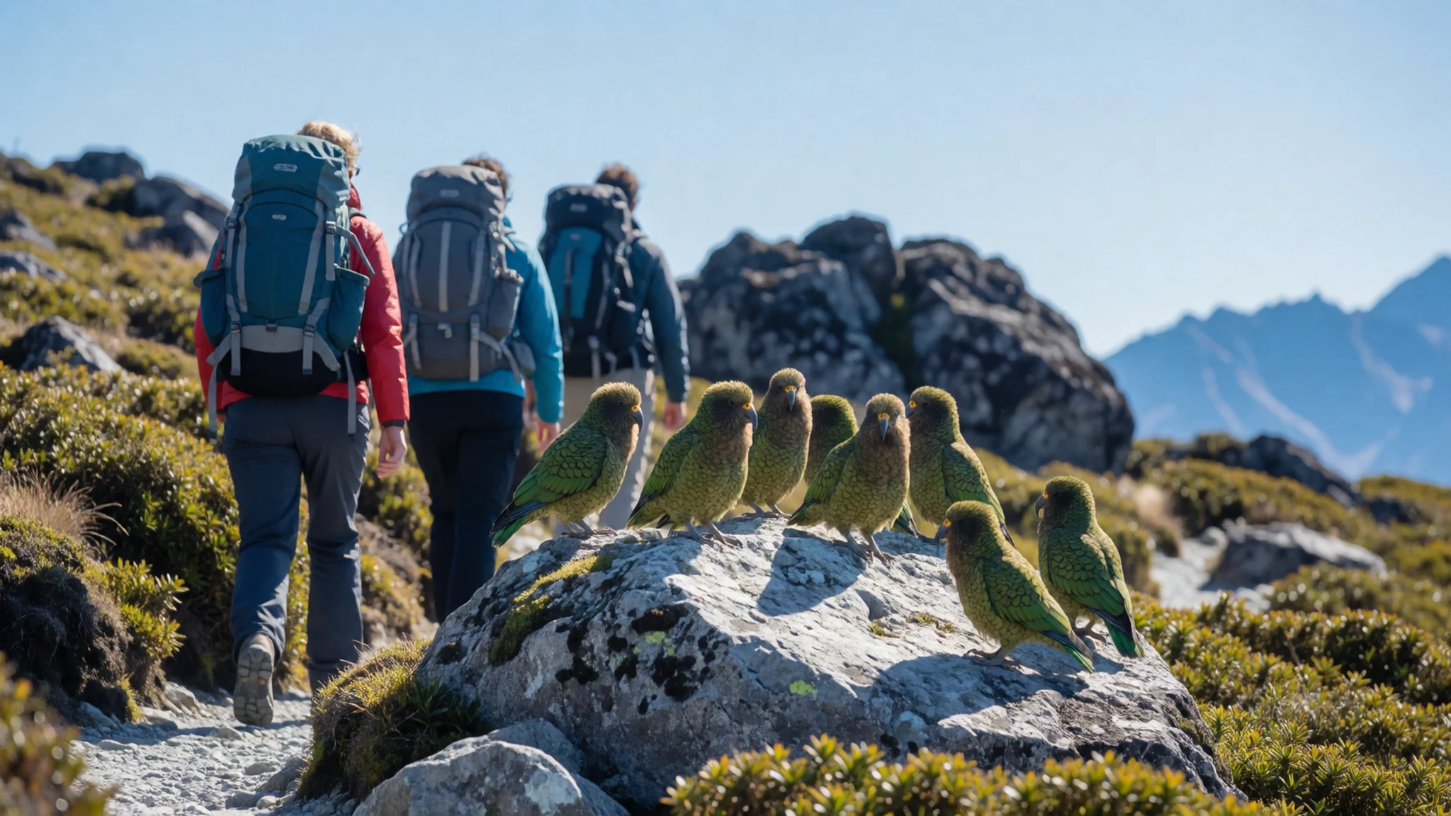
Culture
The culture of Arthur's Pass is defined by a deep respect for the rugged environment. The local community is small and closely linked to conservation work. Track walking, or tramping, is the central social activity, with many residents having spent much of their lives in the high country. The park has a history of strong community involvement in managing land and providing information to the public. The atmosphere is one of quiet reverence for the natural world, with an understanding that the mountains can be unforgiving. The local landscape is viewed as a shared resource, maintained by both government rangers and voluntary local groups who help with track maintenance and wildlife protection. The area also retains traces of its early exploration and settlement, with the railway history playing a significant role in bringing the first large groups of visitors to the region. The combination of hard physical work and natural beauty has created a local identity that is practical, resilient, and deeply connected to the seasons. Visitors are expected to behave with the same level of respect, keeping the area free of litter and ensuring that the wild nature of the park remains undisturbed for future generations. Always secure your food properly in the village and on the tracks to prevent wildlife from becoming accustomed to human food.
What to wear
While the region does not have a specific traditional dress like some other parts of the world, the clothing worn by early settlers and railway workers was practical and heavy. These individuals wore woolen blankets, thick flannels, and sturdy boots to survive the cold alpine climate. Today, residents and hikers wear modern technical outdoor gear. The focus is on moisture-wicking base layers, durable mountain boots, and waterproof shells. The weather can change rapidly from sun to rain, so versatility is essential. Visitors should pack in layers, including a warm mid-layer for the high-altitude colder temperatures. Footwear is critical, as tracks involve significant elevation gain on loose rock and muddy sections. A wide-brimmed hat and sunglasses are recommended for protection against the intense southern sun in summer. The general aesthetic is rugged and functional, reflecting the serious nature of the hiking required to explore the park. There is no particular modesty requirement, but professional outdoor clothing is the norm. Avoid wearing light colours like white or bright yellow in areas with keas, as they may become attracted to the fabric and attempt to remove sections of clothing. Always opt for dark, non-branded fabrics to reduce the risk of interaction with the birds.
What to eat
- Baked Bean on Toast — Arthur's Pass village cafes
A simple but satisfying breakfast staple found in many local cafes. Village cafes serve filling breakfasts for early starts on the tracks. Cafes in the village open early for walkers heading onto the tracks. This dish is an excellent start to an early morning hike, providing the energy needed to begin a day in the mountains. It is a reflection of the practical, no-nonsense food culture at the start.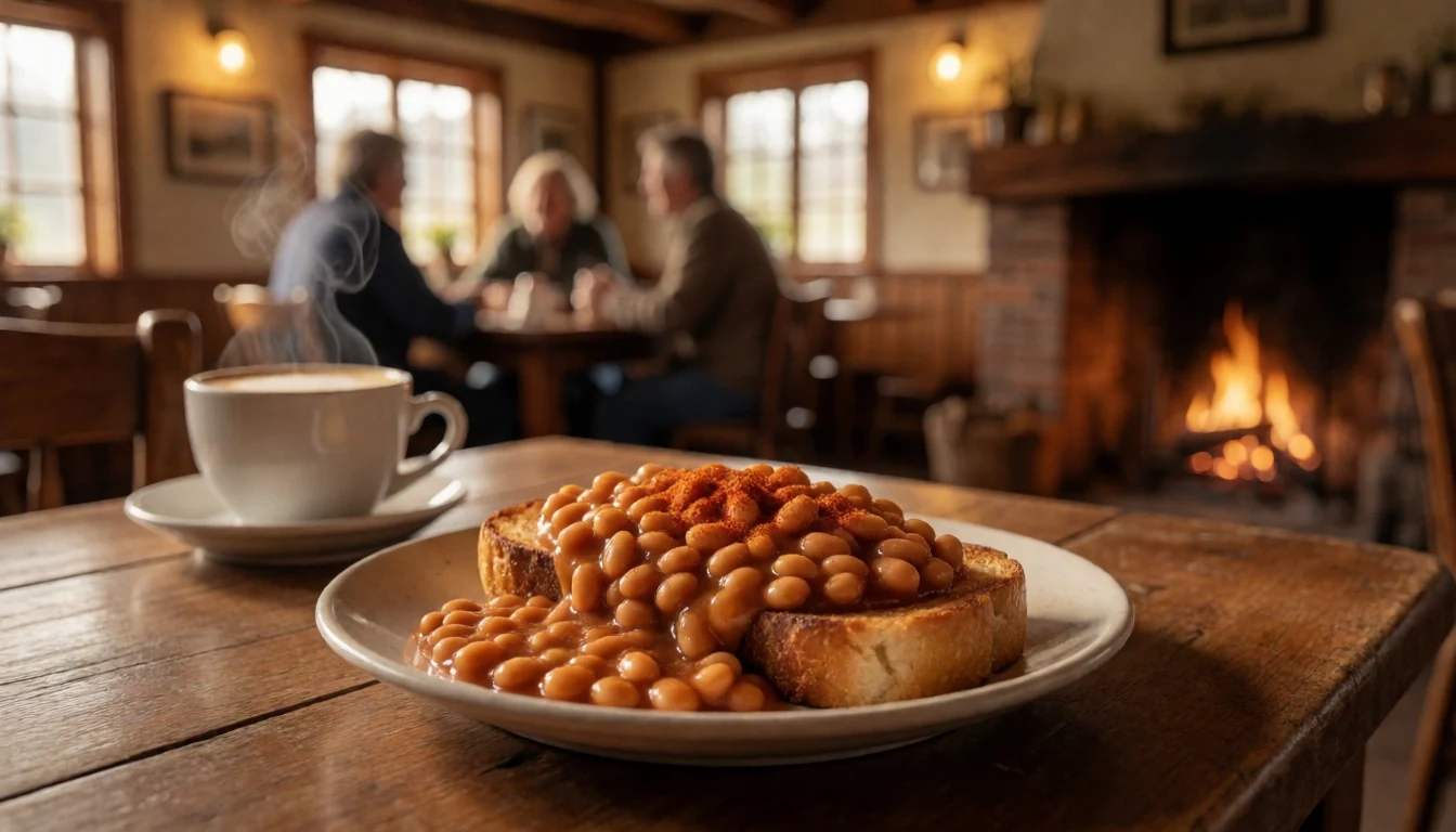
- Local Emu Bake — Arthur's Pass village stores
The village offers a range of baked goods made with local ingredients. Village stores sell snacks that hikers can carry on long walks. Hikers often stop at the village stores to pick up food before a long walk. They dry well and do not require refrigeration for short periods.
- Choc Chip Muffins — Arthur's Pass village cafes
Standard cafe fare in the village, these are a reliable treat for hikers. Village cafes serve baked treats throughout the day. A stop at a village cafe makes a welcome break before the walk back. The cafe community is small, so these items are a primary source of comfort food. - Cheese and Ham Sandwiches — Arthur's Pass village stores
Village stores are a convenient place to pick up lunch before a hike. They are a common lunch for those heading up to Avalanche Peak. Simple lunches from the village are easy to carry on the track. They are simple and easy to eat while walking, making them a popular choice for mid-day refills. - Mountain Carrot and Cake — Arthur's Pass village restaurants
Village restaurants serve dinner after a day in the mountains. Dessert is a sweet finish to a meal at the village restaurants. Restaurants in the village make a welcome stop after a long day on the tracks. It is a testament to the food security available within the park boundary. - Plain Toast and Butter — Arthur's Pass village cafes
For early risers, this simple option is always available. Village cafes keep breakfast light for early risers. It provides a quick and easy start to the morning routine. It is a staple for those looking to keep their breakfast light.
Plan it
Best time. October to March is the best time for hiking, with June to August reserved for winter walkers with appropriate gear.
How long. 2–3
Getting there. Drive down the main highway from Christchurch, or take the morning train from the city station.
Budget. mid
Tips
- Book accommodation early during the summer peak period.
- Check the weather forecast before starting high-altitude tracks.
- Carry plenty of layers even on a sunny day.
- Secure your food in a locked box in the village.
Etiquette
- Yield to oncoming traffic at the narrow bridge crossing.
- Do not feed the local wildlife.
- Stay on marked trails to protect the alpine vegetation.
Nearby
Sources
- Wikidata Q712300 (CC0)
- Wikipedia (rev 1377316323) (CC BY-SA 4.0)
- Wikivoyage (rev 5393857) (CC BY-SA 4.0)