Aït Benhaddou
Aït Benhaddou, Morocco
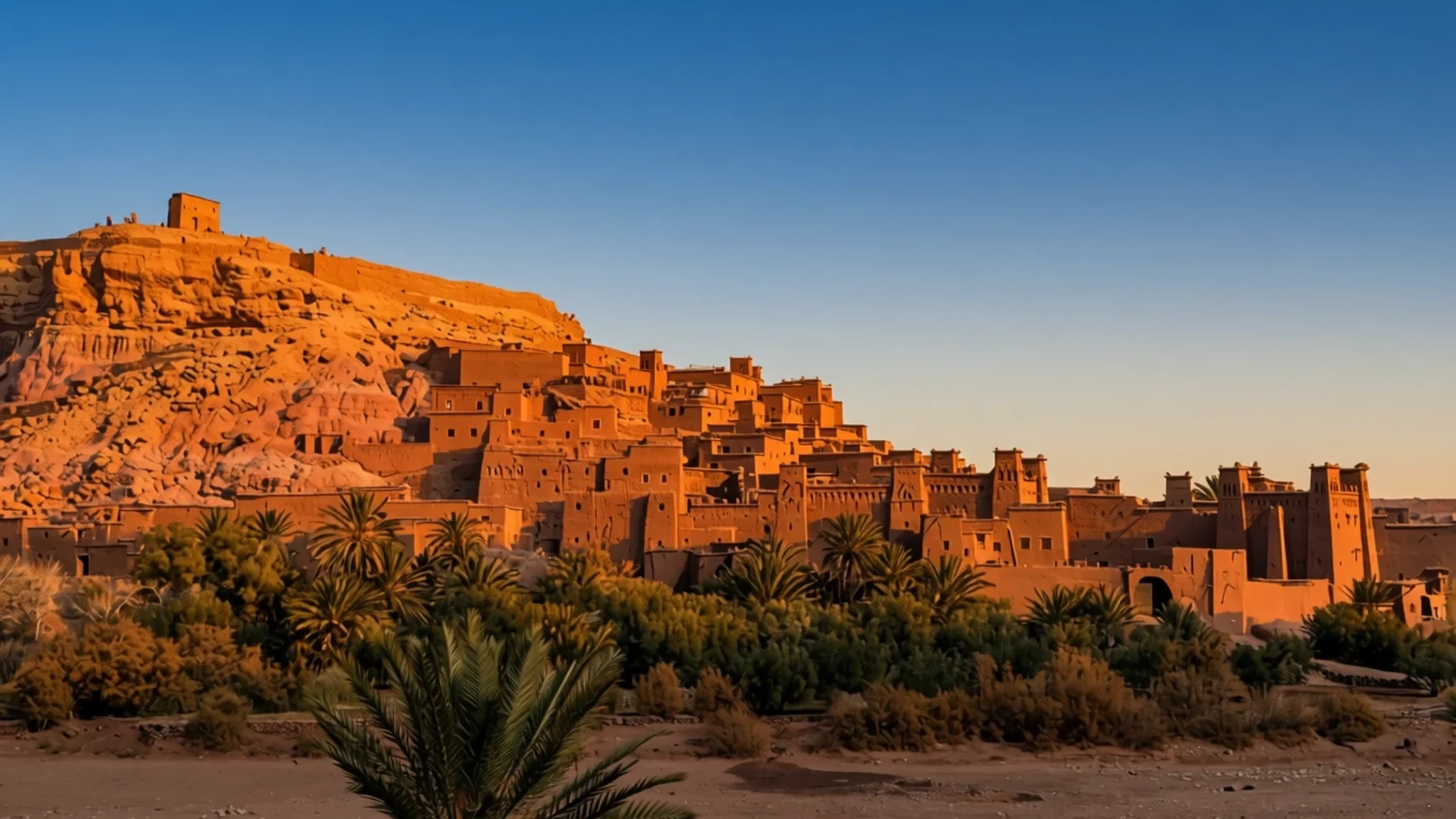
Aït Benhaddou is an earthen ksar on the old Sahara–Marrakech road, where towers, a granary and a river crossing still shape a day.
The place
Aït Benhaddou sits in southeastern Morocco, a fortified village — an ighrem, or ksar — climbing the bank of the Ounila River, known locally as Asif Ounila. Caravan traffic between Marrakech and the Sahara once used the track that passes the hill. Homes pack in behind a wall punctuated by corner towers, and a gate is the controlled way through. Some houses are modest single rooms; others stand tall, with bands of angular decoration near the roofline. Kasbahs, a caravanserai, a mosque and the Marabout of Sidi Ali or Amer share that interior with the dwellings. A square opens among the lanes. Two burial grounds, one Muslim and one Jewish, lie inside the same circuit. Threshing floors and grain fields used to spread on the valley floor outside the wall. The crest holds what is left of the agadir, a large communal granary that was itself fortified. Timber, clay brick, adobe and packed earth are the whole material list. Damp soil went into formwork and was tamped firm, with extra material mixed in so the courses would hold. The names for it are pisé, tabia and al-luh. The hill itself supplied the material, so nothing heavy had to be hauled in. Water undoes the work, and mending a wall is ordinary ownership, not an emergency. Only a handful of families still live among these rooms. Across the river, newer houses hold most of the community, who farm the valley and look after travellers. A footbridge opened in 2011 to join the two banks. The ksar is a UNESCO World Heritage site, and the earthen silhouette is why the road still comes here.
Its story
Fortification at Aït Benhaddou goes back to the Almoravid 11th century, when this hill watched a road worth holding. The houses standing now are not credited with dates earlier than the 17th century. Rebuilders kept repeating older plans and the same earth techniques, so a later wall still shows how the place had been made for a long time. Weight and income came from the Ounila Valley, a corridor of trans-Saharan trade. The track climbed to the Tizi n'Tichka and crossed the High Atlas, tying Marrakech to the Dra'a Valley at the point where the desert starts. Tamdaght, north along the valley, is one of the other kasbahs and ksour that broke the journey. After the 20th century the crossing no longer mattered to trade, and the hill emptied. Only several families still spend the night inside the ksar. The larger share of local people occupies modern dwellings on the opposite bank, farming and, more than anything, receiving travellers. A footbridge finished in 2011 made the crossing easier, in the hope that some residents would move back into the historic rooms. The earthquake of September 2023 that hit southern Morocco damaged the site. Earth walls record a shock in cracks that need hands, not just time, and repair has always been how these buildings stay standing. UNESCO inscribed the ksar in 1987. What can be walked while mending continues is best checked on the official site.
What to see
- Ksar of Aït Benhaddou — Hillside beside the Ounila River
The ksar of Aït Benhaddou is the reason for the journey: houses and towers of rammed earth gathered inside a circuit of wall and corner towers, entered by a gate. Lanes rise between low rooms and tall family houses, and angular motifs sit near many rooflines. Wandering those lanes, and watching how the roofs step up the slope, is the visit.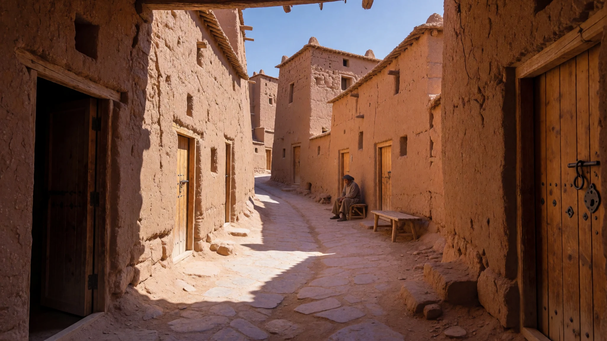
- Agadir — Summit of the ksar hill
The agadir of Aït Benhaddou is the ruined collective granary on the summit, above every house in the ksar. The path is steep and the surface is the same rammed earth as the walls. From the top the gate, the towers and the river settle into one plan, which explains why the community stored its grain up here.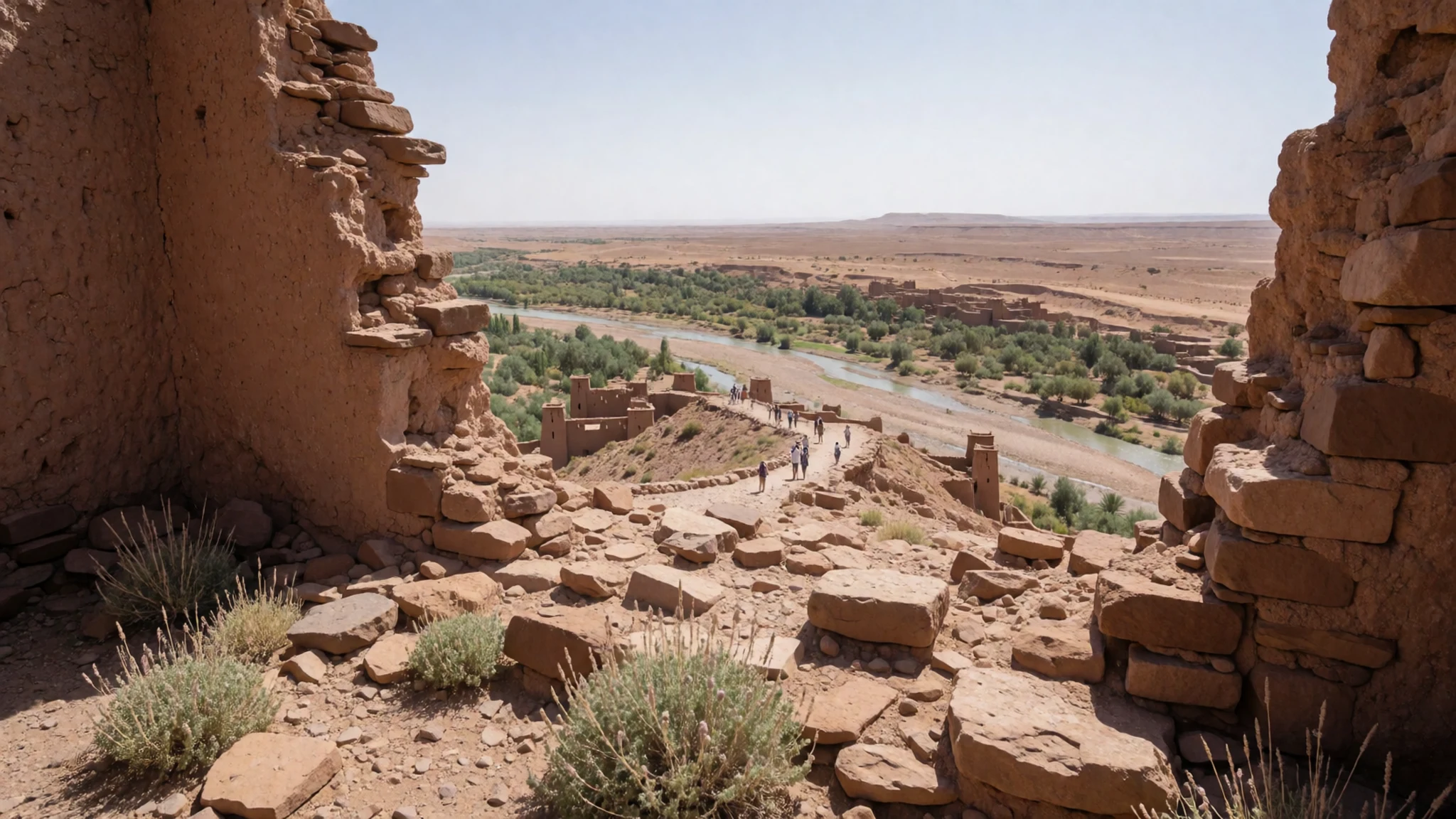
- Marabout of Sidi Ali or Amer — Inside the ksar walls
The Marabout of Sidi Ali or Amer stands inside the walls of Aït Benhaddou, among the mosque, the caravanserai and the houses. A marabout is a saint's shrine, and this one belongs to the ksar's religious ground together with the Muslim cemetery. Listings also name a Mausoleum of Ben-Haddou. Unless someone on the spot links the two, look for them as separate stops rather than assuming one doorway.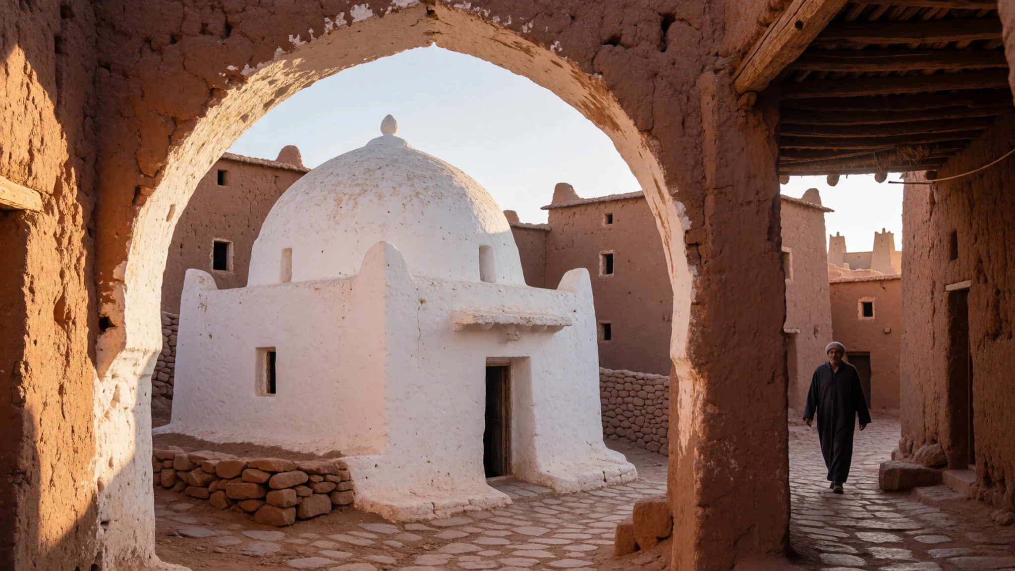
- Kasbahs — Inside the ksar walls
The kasbahs of Aït Benhaddou are the tall tower-houses inside the wall, built like everything else of rammed earth, adobe and timber. They stand taller than the ordinary dwellings around them. Angular decoration often sits high on the façade, where a lane forces the eye upward. A number of them stand quiet. The public part is the alley in front, not a climb onto the clay.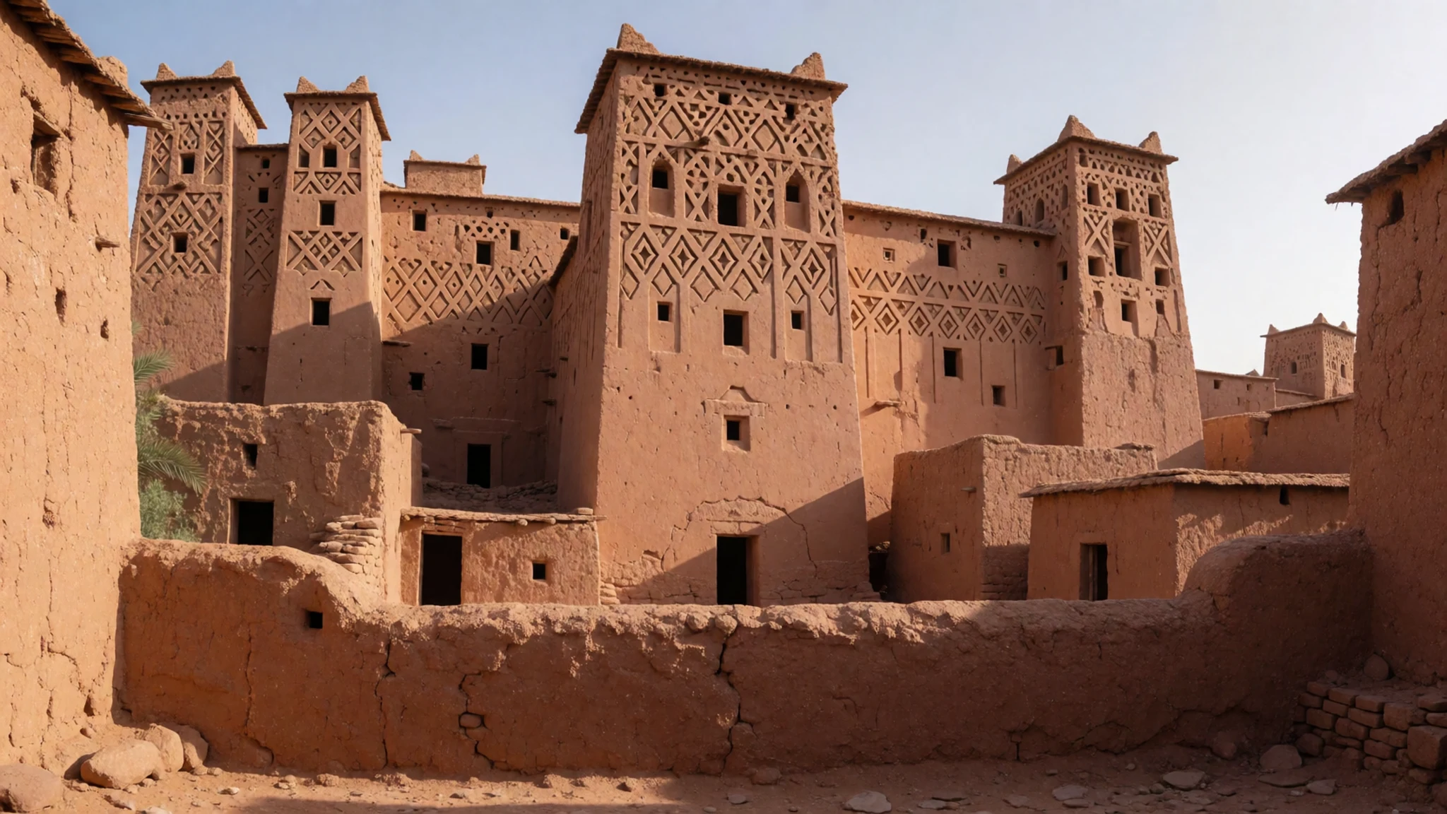
- Mosques — Ksar interior and the west bank
Aït Benhaddou's ksar has a mosque among its community buildings, inside the wall near the square and the marabout. Another mosque serves the modern village on the west side of the river, where most people live. One belongs to the fortified plan; the other belongs to the bank that absorbed the valley's daily life. If a door is in use for prayer, the respectful place is the public ground outside.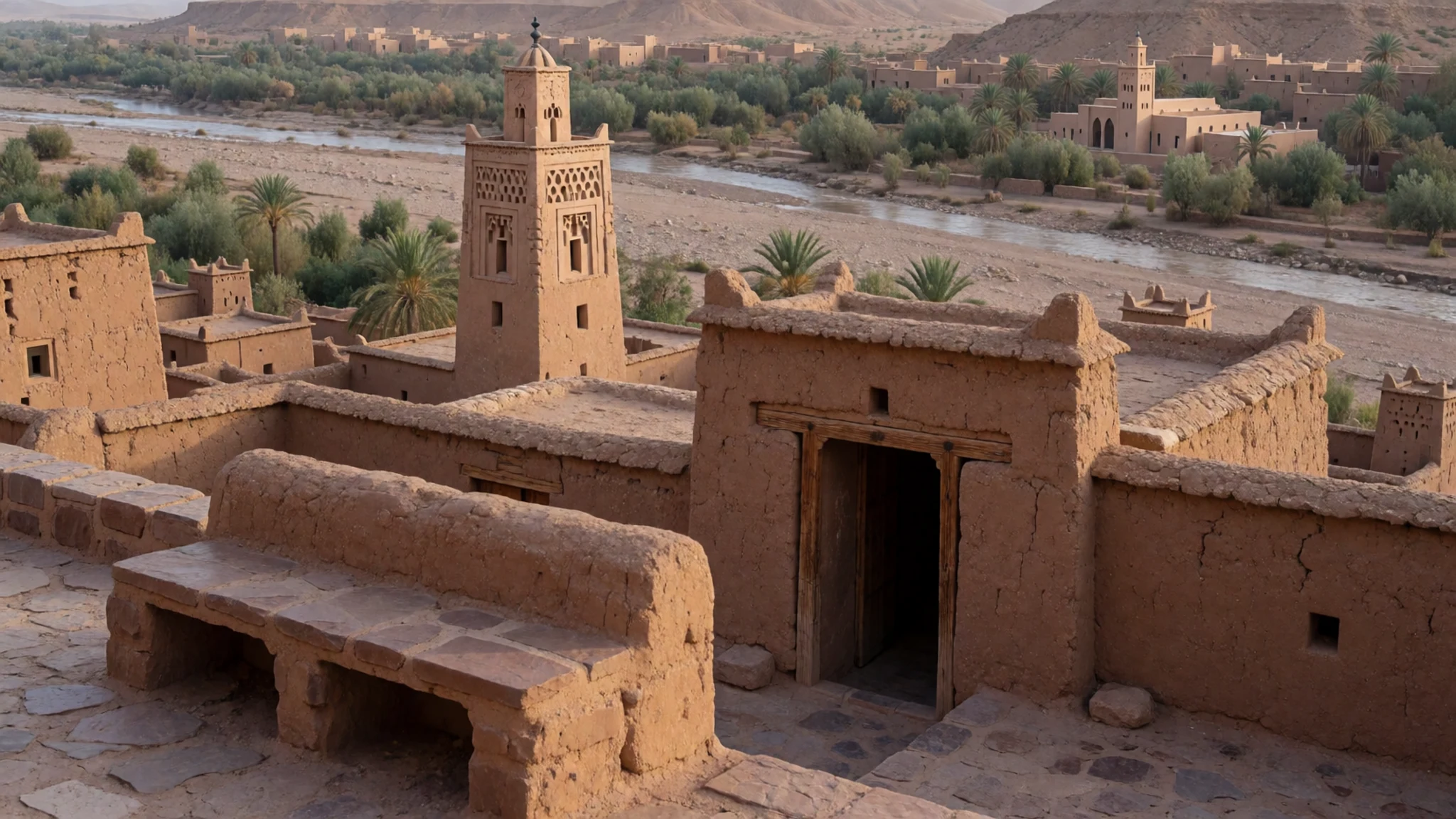
Culture
Aït Benhaddou is a Berber fortified village, an ighrem organised around a shared wall, a gate and a hilltop granary. Daily life in the ksar turned on the mosque, the Marabout of Sidi Ali or Amer, and the agadir where the community stored its grain. Fields for growing and threshing lay outside the ramparts, while the towers inside marked the kasbah households along a caravan road. A Muslim cemetery and a Jewish cemetery still sit within the circuit, part of the same fortified ground as the houses. In the 20th century the valley lost its strategic trade, and most people settled in the modern village across the river, farming and working with travellers. Several families remain in the old ksar, so the alleys are still a neighbourhood where people keep house. A hello in the lane, before any question, is how the neighbourhood prefers to be met. Rammed earth, adobe and timber last only with regular repair, which damage from the earthquake of September 2023 made plain. Ask before you photograph residents of Aït Benhaddou, and do not climb the earthen walls.
What to wear
Aït Benhaddou's traditional dress is that of Morocco's Berber south. The djellaba, a long hooded robe in wool or cotton, is worn by men and women, and the burnous, a heavier wool cloak, comes out for cold mornings along the valley. Women commonly add a headscarf. For a family celebration a caftan appears; ordinary days stay plainer. Wool cloth worked in geometric motifs is widely worn here, kin to the angular patterns on the upper walls, and weaving remains a household craft of the Atlas fringe rather than a show put on for guests. In the modern village, and among people who work the lanes of the ksar, those robes share the street with jeans, jackets, trainers and football shirts, worn under a djellaba or instead of one. Older men often still wear a full robe and leather slippers from morning until evening. Guests are not expected to costume themselves. What to wear follows the place. Covered shoulders and knees are the respectful choice beside the mosque and the marabout, and a scarf in a bag leaves the choice of a head covering open. Closed shoes with a grip suit the steep earthen paths better than sandals, and a hat is worth carrying on the exposed ridge. The clay of Aït Benhaddou marks cloth, so practical clothes that can meet the dust are the sensible choice.
What to eat
- Tagine — Eateries on the modern bank facing the ksar
Aït Benhaddou's cafés on the modern bank serve tagine, a slow-cooked stew under a conical clay lid, often chicken or lamb with vegetables, olives and preserved lemon. It is the dish to share after the hill, and it suits a long lunch at an eatery facing the ksar.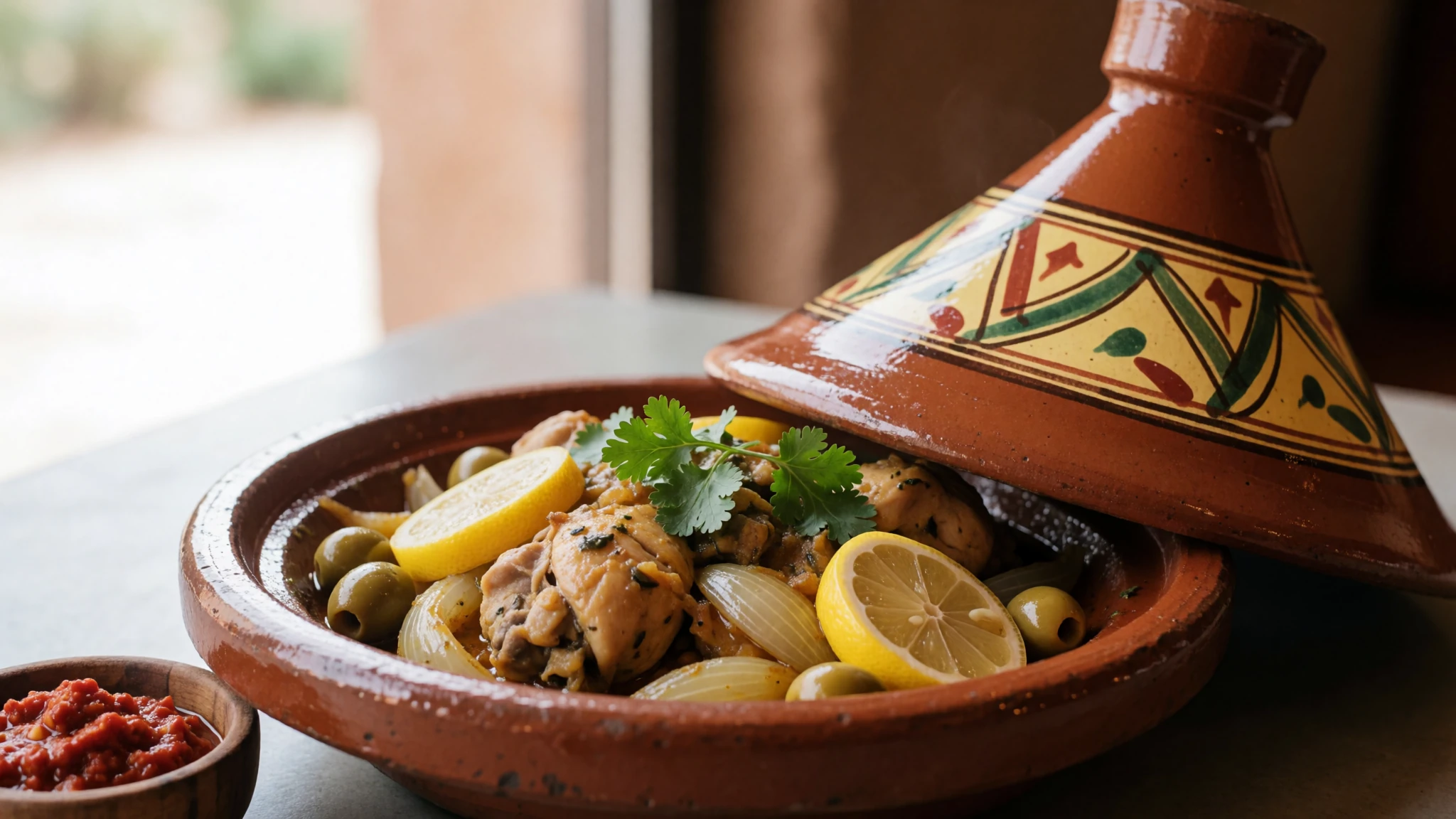
- Couscous — Family-style eateries by the river in the modern village
Couscous in Aït Benhaddou is steamed semolina piled with vegetables and, when the pot allows, meat, served in the restaurants of the modern village. Friday is the traditional day for it across Morocco, and many family-style eateries by the river still keep that rhythm.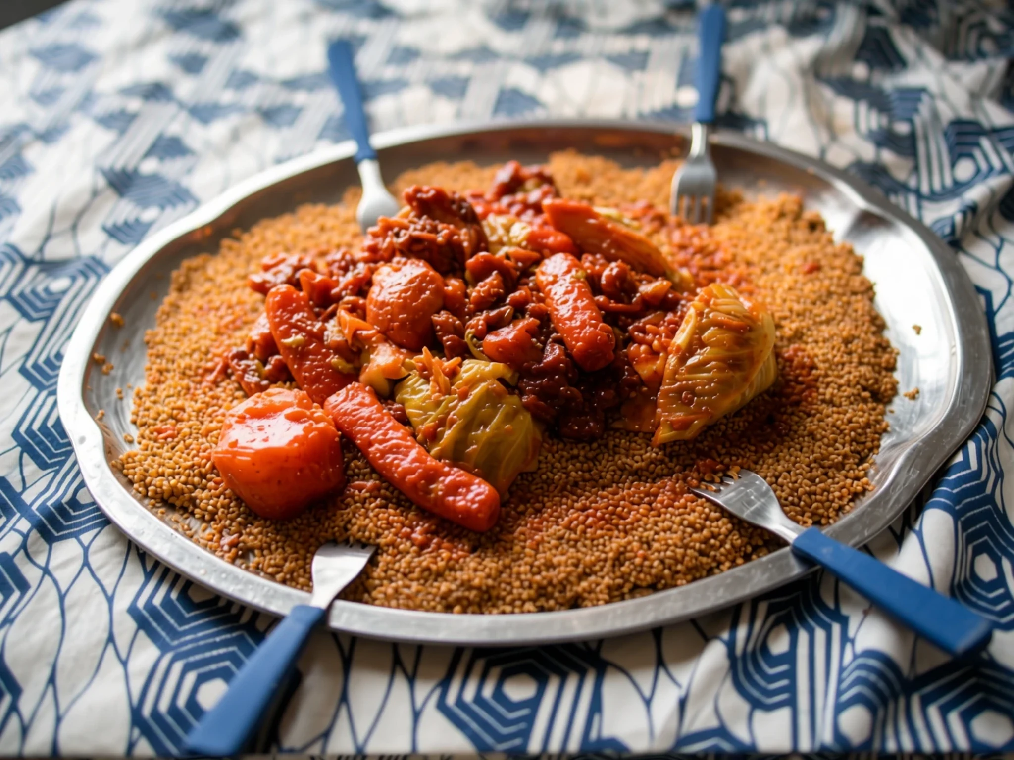
- Harira — Cafés on the west bank
Harira is a thick tomato and lentil soup, often with chickpeas and a little meat, finished with herbs. In Aït Benhaddou it turns up at cafés on the west bank, especially in cooler months and at dusk in Ramadan. Outside that month it is a warming starter.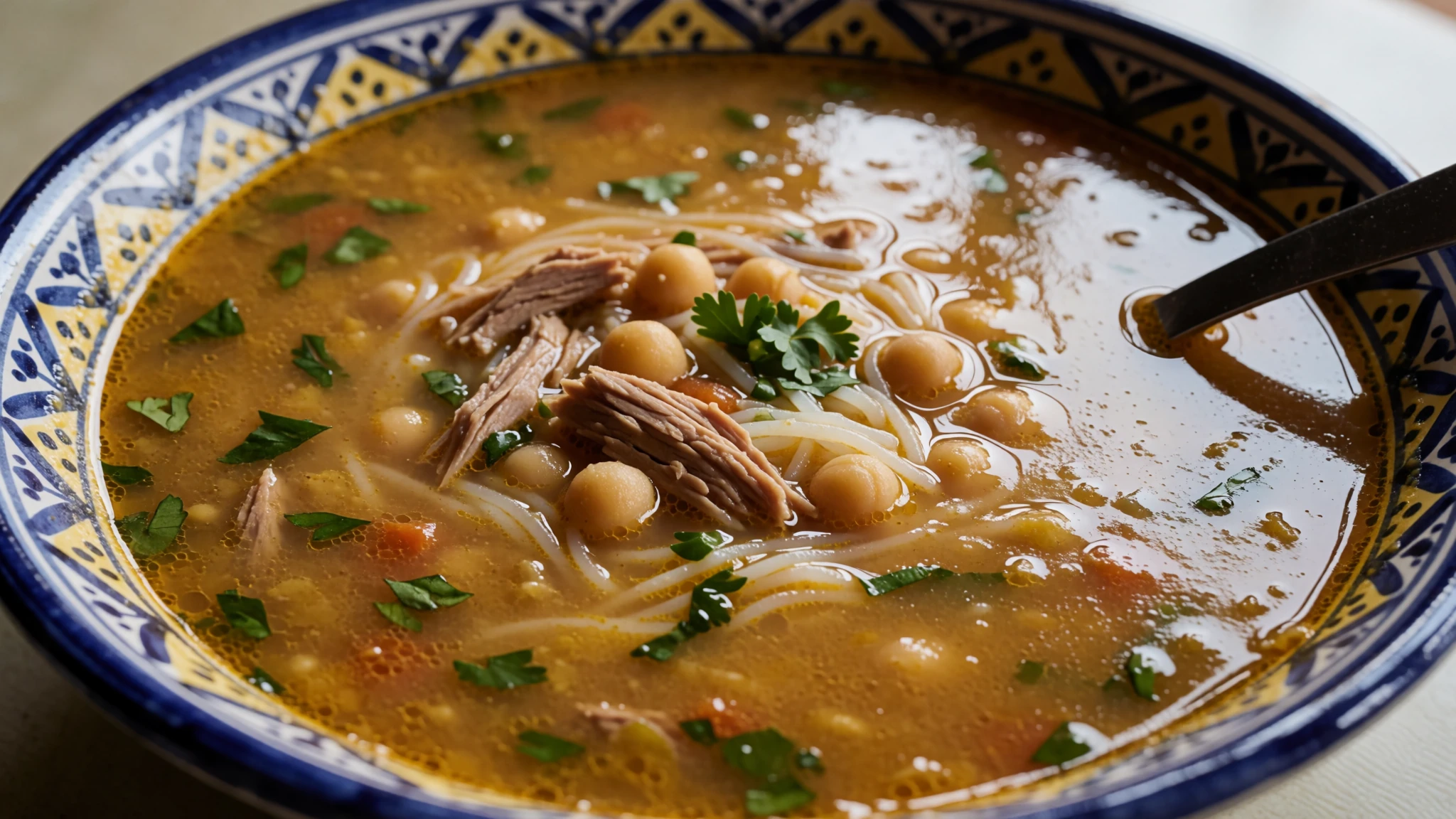
- Mint tea — Cafés in the modern village
Mint tea, called atay, is the constant drink of Aït Benhaddou: green tea, fresh mint and a generous amount of sugar, poured from a height. Cafés in the modern village serve it through the day. A glass is the ordinary pause while facing the towers. - Khobz and msemen — Cafés facing the river in the modern village
Khobz, the round Moroccan loaf, and msemen, a layered pan-fried flatbread, come with tagine at eateries in the modern village of Aït Benhaddou. Meals are a sit-down affair in the cafés facing the river, not a stall circuit inside the old walls.
Plan it
Best time. Spring and autumn are the kinder seasons for walking the exposed hill at Aït Benhaddou. Summer on the open ridge is harsh, and winter nights in the valley can turn cold. Check a current forecast and the village website before you fix dates.
How long. 1–2
Getting there. Aït Benhaddou is reached from Ouarzazate or from Marrakech. Most buses do not enter the village; they drop passengers at the highway turn-off about 7 km short, or at Tadoula, from where the walk is about 5 km. Grand taxis run from Ouarzazate in the daytime and wait at the crossing — agree the fare on the spot, and do not trust old published prices. By car the ksar is about 9 km off the Tizi n'Tichka road; coming from Ouarzazate, the turn is about 18 km out of town. From Marrakech the outing fills a day. The village website is http://www.ait-ben-haddou.net:80/.
Budget. mid
Tips
- Begin early in the day, before coach groups fill the lanes of Aït Benhaddou.
- Wear closed shoes for the climb to the agadir; the path is steep and the earth is loose.
- Carry water. The hill is exposed, and the cafés are mainly on the modern bank.
- Keep some cash. Taxis and small eateries may not take cards.
- After the 2023 earthquake, follow local advice if a house or a stretch of wall is closed.
- Allow extra time for Telouet, about 40 km up the Ounila Valley, if that kasbah is part of the day.
Etiquette
- Ask residents of Aït Benhaddou before you photograph them.
- Cover shoulders and knees at the mosque and the marabout, and remove shoes where they are left at the door.
- Do not climb rammed-earth walls or the agadir for a picture.
- Keep voices low in both cemeteries.
Nearby
Sources
- Wikidata Q309436 (CC0)
- Wikipedia (rev 1380236838) (CC BY-SA 4.0)
- Wikivoyage (rev 5376747) (CC BY-SA 4.0)
- Photo photos/01-ksar-a-t-benhaddou-marocco.jpg (CC BY-SA 4.0)
- Photo photos/02-ksar-ait-benhaddou-dsc-0078-40858312145.jpg (CC BY-SA 2.0)
- Photo photos/03-ait-ben-haddou-16112394620.jpg (CC BY 2.5)
- Photo photos/04-a-t-benhaddou-a-kasbah.jpg (CC BY 1.0)
- Photo photos/05-ait-zineb-ksar-of-a-t-benhaddou-20190716174408.jpg (CC BY-SA 4.0)
- Photo photos/06-hervorragendes-beispiel-marokkanischer-lehmbauarchitektur-01.jpg (CC BY-SA 4.0)
- Photo photos/07-hervorragendes-beispiel-marokkanischer-lehmbauarchitektur-02.jpg (CC BY-SA 4.0)
- Photo photos/08-hervorragendes-beispiel-marokkanischer-lehmbauarchitektur-03.jpg (CC BY-SA 4.0)


