Aconcagua Provincial Park
Aconcagua Provincial Park, Argentina
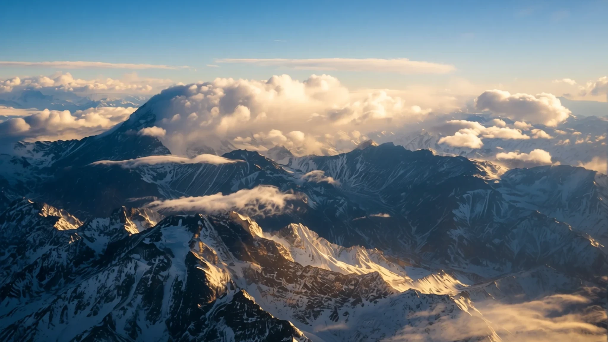
Come for the highest peak in the Americas, but stay for valleys, glacier lakes and the long Andean walk-in.
The place
Aconcagua Provincial Park lies in the Andes of Mendoza province, in western Argentina. Its recorded elevation is about 2,982 m, and it was set up mainly to protect the natural and cultural character of this high country. Most people arrive for the mountain that gives the park its name, Aconcagua, the highest point in the Americas. It draws climbers from many countries each season, and the whole park is organised around that pull. But the park is more than one summit. Dry scrub and river gravel open into glacier-fed valleys, and the road in follows the Horcones river between walls of broken rock. Lakes sit in the upper valleys, and the views change with the light and the weather, sometimes within a single afternoon. Hiking, climbing and in the snowier months skiing all have their place here. Visitors who come only for a day trip see the valley floor and the first lagoon. Those who give it three or four days see how quickly the landscape turns from green river terraces to bare, shattered ground near the peaks. The park suits people who like walking in big, open country and who accept that the weather decides the plan.
Its story
The range has carried human history long before modern climbers arrived. In 1818 General José de San Martín crossed these mountains during the wars against the Spanish Empire. His route through the Andes helped secure independence for Chile, and the passes that carried his men are still part of the regional story. For most of the twentieth century the mountains were known to a smaller circle of explorers, surveyors and herders. Mountaineering came later and became far more visible. The summit of Aconcagua was first reached in 1897, when Matthias Zurbriggen, a member of the FitzGerald expedition, stood on top. That first ascent set a pattern that still shapes the park. The peak is a serious objective, and it has a reputation for testing people who underestimate the altitude. Altitude illness, sudden storms and cold have caused many deaths over the years, and the mountain has taught a long list of climbers to respect thin air and a changing sky. Today the park is managed to conserve its natural and cultural values while still allowing climbing, trekking and visits to the valley. Its story is therefore two-sided: a corridor of independence history and a proving ground for high mountaineering. Both threads are still visible in the trails, the camps and the names on the map.
What to see
- Horcones Lagoon — Horcones valley, inside the park entrance
Laguna de Horcones is the stop most day visitors reach first. The water lies in a basin below the peaks, and on a clear morning the reflections of the mountains are the main draw. Plan on a short walk and a long pause. The area fills with visitors in the middle of the day, so arriving earlier gives you quieter water and clearer skies.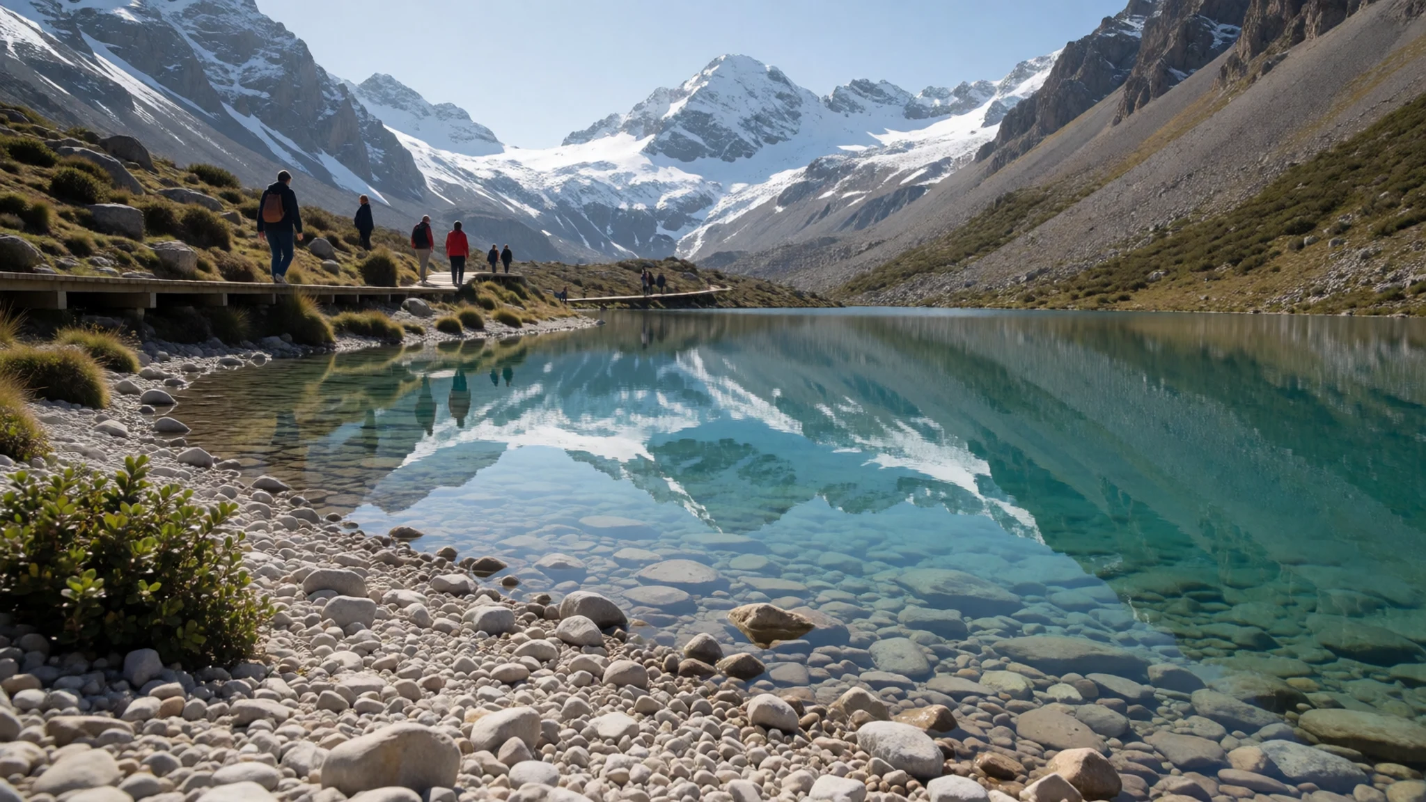
- Horcones glacier viewpoint — Upper Horcones valley
The lower Horcones glacier is visible from the upper valley and is a useful reminder of how much ice remains in the range. Aerial views show the stone-covered tongue clearly, with its rubble ridges and meltwater channels. Use the viewpoints along the trail rather than walking onto loose moraine, which can shift underfoot.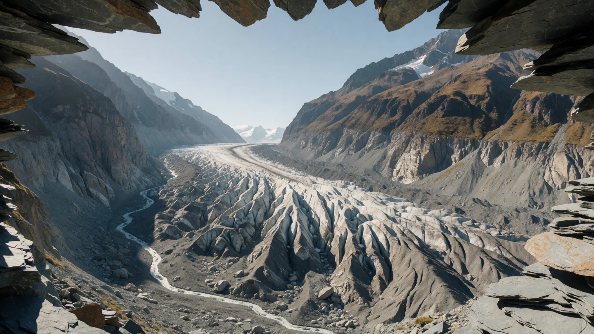
- Park entrance and valley road — Access road from Mendoza
The entrance area is where the park's rules, permits and information are concentrated, and where most visitors first see the valley. The road is the main route into the park and gives a good sense of the scale of the surrounding rock. Expect controls and paperwork before you go further, and check the current arrangements on the official site before you travel.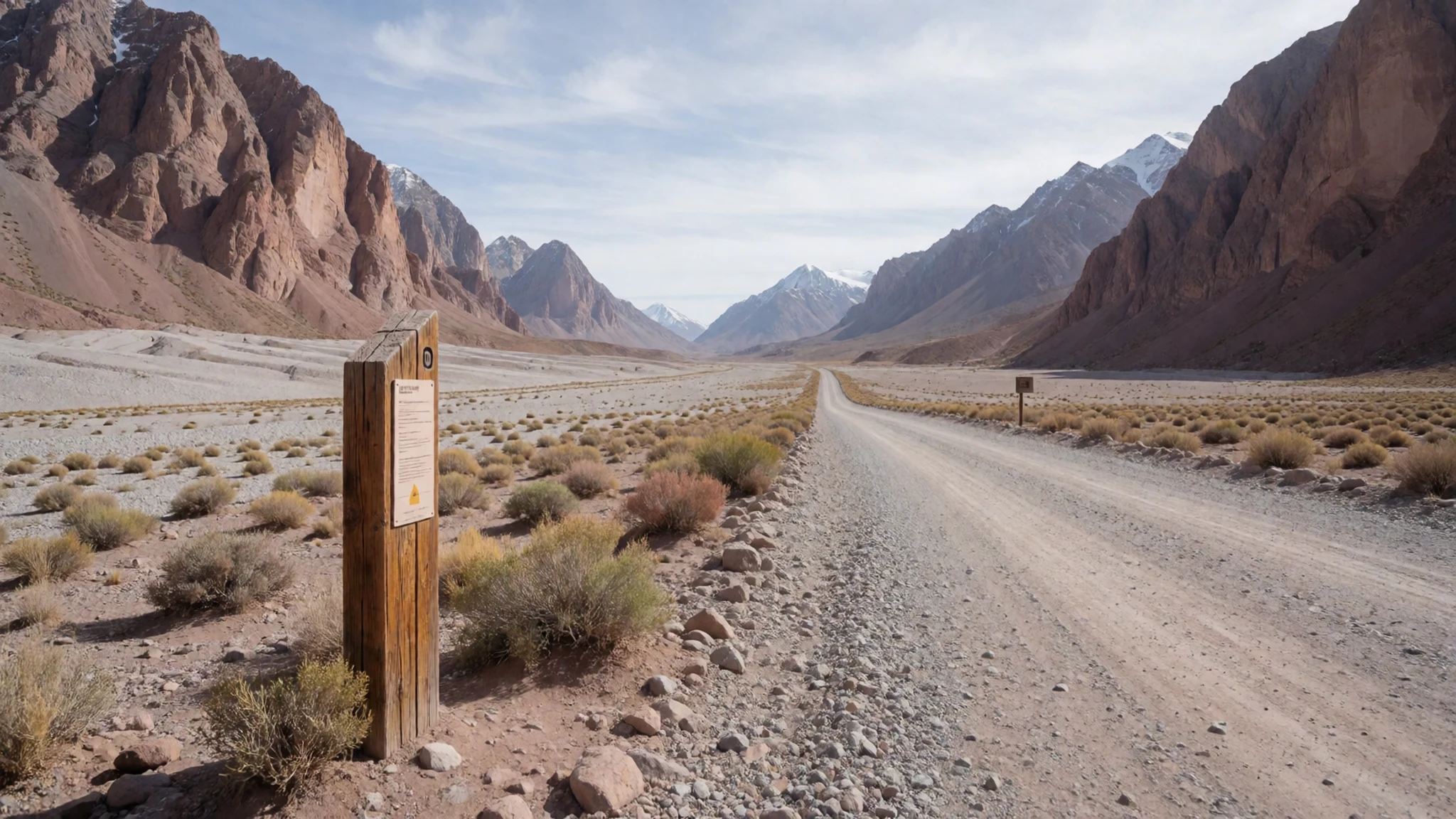
- Plaza de Mulas — Upper valley, main climbing route
Plaza de Mulas is the best-known base camp on the main climbing route, a cluster of tents, huts and service points at high altitude. It is busy during the climbing season and can be cold even in summer. Visitors who go there should be prepared for thin air, a long walk back down and weather that changes quickly.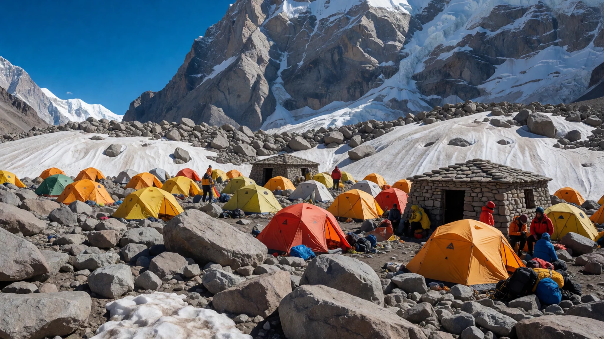
- Plaza Francia and the upper valley — Upper valley beneath the summit
Plaza Francia sits in the high valley beneath the peak's southern face, and it is the viewpoint many trekkers aim for. The approach passes through open ground and moraine, and the view of the summit wall is the reward. Pace yourself, watch for altitude symptoms, and turn back early if you feel unwell.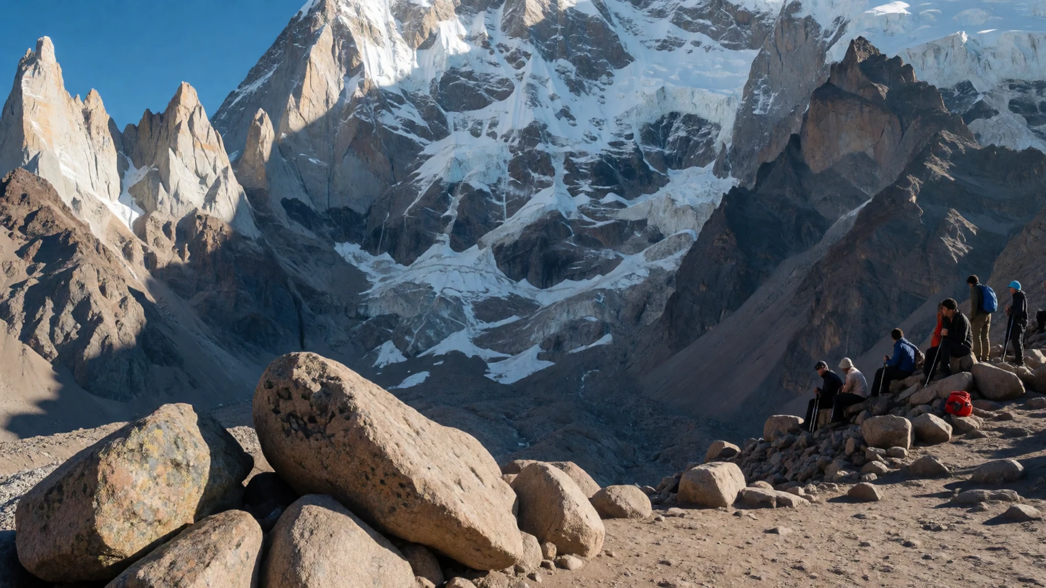
Culture
The park is a working landscape as well as a recreation area, and its culture is shaped by the people who guide, transport and cook for climbers. Mendoza's wine country sits just below the mountains, and the region's everyday life is organised around the seasons of irrigation, vineyards and tourism. Many local people work in guiding, mule transport and park services, and their knowledge of the weather and terrain is respected. Visitors often arrive with a single goal, which can make them impatient with rules. The park's guidance, permits and checkpoints are part of how the place is protected, so treat staff with courtesy and follow their advice even when it slows your plans. Argentinians greet people warmly, so a brief greeting before asking a question goes a long way at shops, refugios and information points. Spanish is the working language here, and a few phrases help. Gratitude is expected when staff explain the route or the weather. Keep the valley clean and stay on marked trails, because the ground is fragile and rubbish left at campsites or on the moraine stays for years.
What to wear
Traditional dress in this part of Argentina is closely tied to the gaucho and the rural life of the Cuyo region, where Mendoza sits. The classic gaucho outfit uses wool, leather and cotton, with a wide-brimmed hat, a belt or sash and boots suited to riding. Woven ponchos, sometimes in wool, were practical protection against wind and cold on long journeys. Today most people in Mendoza dress much like city dwellers anywhere, in jeans, jackets and trainers. Among climbers and trekkers, technical clothing is the norm: layered synthetic fabrics, down or synthetic insulation, waterproof shells and sun protection. For a visit to the park, dress for sudden change. Mornings can be cold, afternoons can be hot in full sun, and wind funnels through the valley. Bring a warm layer, a windproof shell, a hat and gloves, plus sunglasses with good UV protection, since the light at altitude is strong. Footwear should suit rough, loose ground. Waterproof boots with ankle support are sensible for trekking, while trainers are fine only for the lower valley walks. Pack modest clothing for town and carry a light scarf or sun shirt for shade.
What to eat
- Empanadas mendocinas — Bakeries and neighbourhood eateries in Mendoza city
Mendoza's empanadas are stuffed with beef, onion, egg and olive, and sometimes a little spice. The pastry is usually baked rather than fried. They make a good, filling snack before a walk and are easy to carry. Look for them at a bakery or a neighbourhood eatery in Mendoza city before heading up the valley.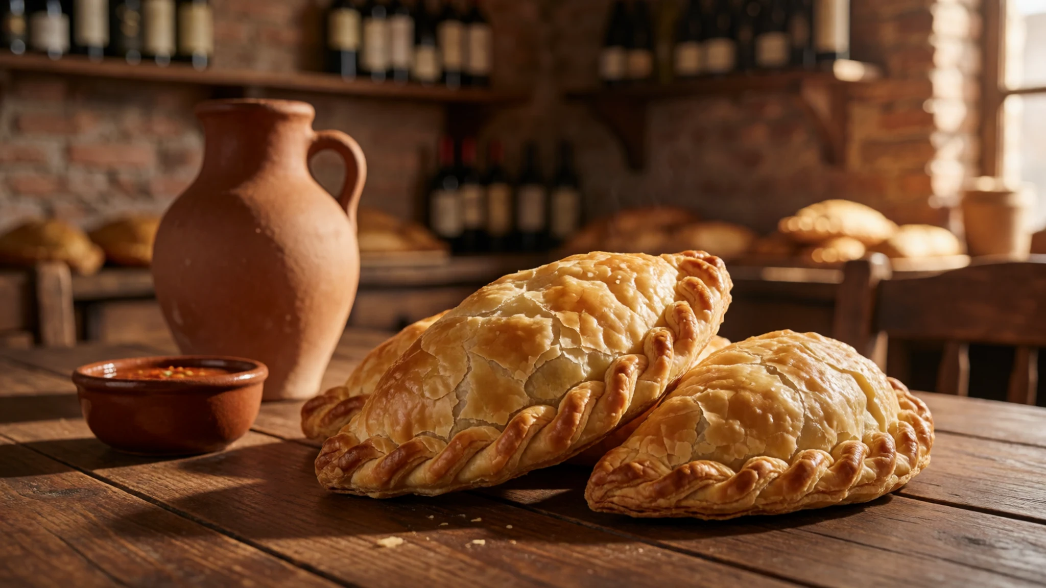
- Asado — Parrillas and asado restaurants in Mendoza city
Asado is the traditional barbecue of Argentina, with beef and sausages cooked slowly over wood or charcoal. Meals are long and social, often shared at a table with several courses. Eat it in town rather than in the park, where cooking facilities are limited and the pace is set by the walk.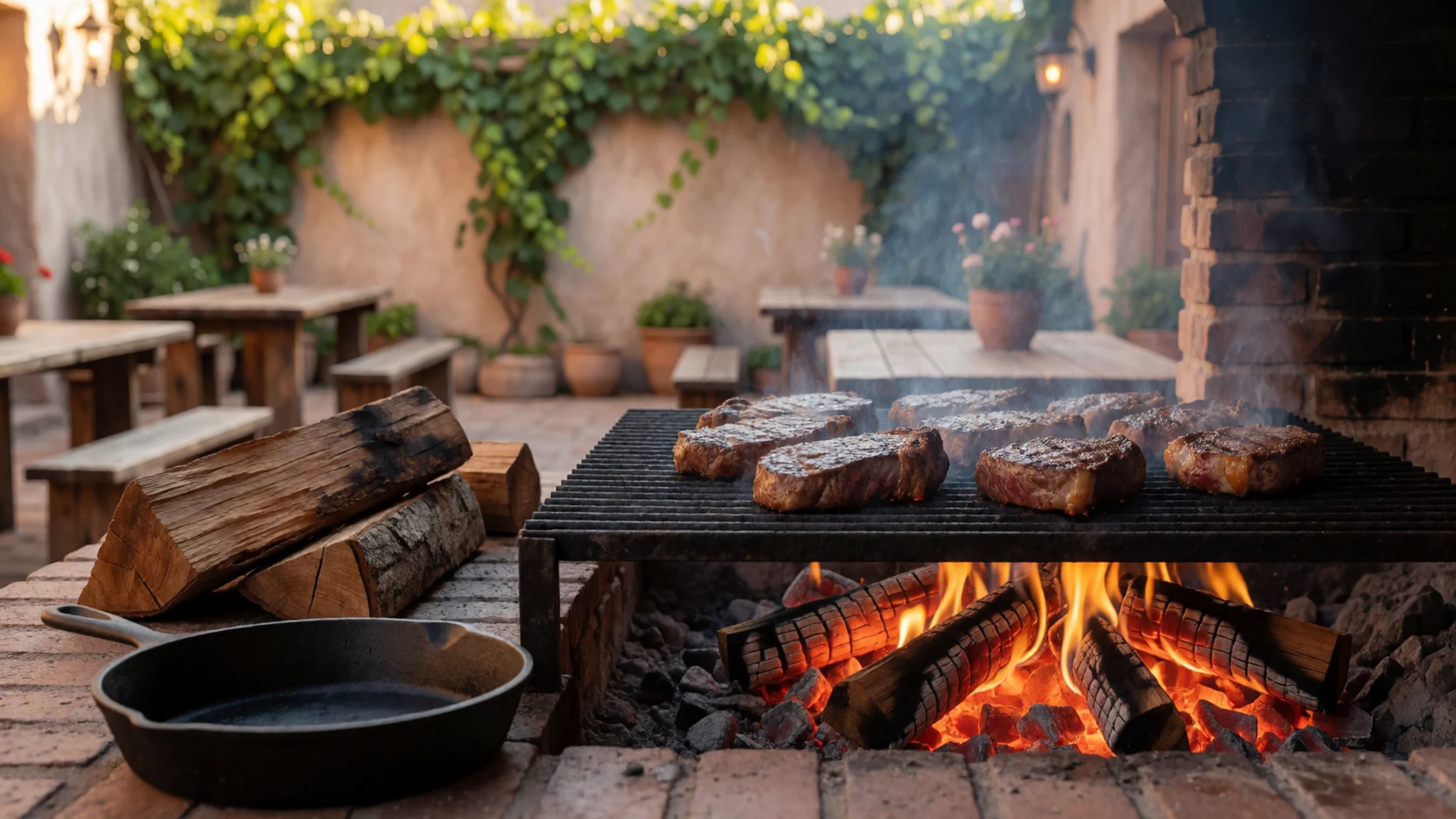
- Malbec wine — Wine bodegas and tasting rooms in the Mendoza wine districts
Malbec is the red grape most associated with Mendoza, and the vineyards around the city produce a strong, dark wine. Tasting rooms are common in the surrounding wine districts. Visitors heading into the mountains should go easy with alcohol at altitude, and save the bottle for the return. - Locro and hearty stews — Traditional eateries in Mendoza city during cooler months
Locro is a thick stew of corn, beans, squash and meat, traditionally eaten in cooler months. It reflects the warm, filling food of the Andean and northern regions. It suits a cold day after a long walk, and most traditional eateries in town serve a version of it.
Plan it
Best time. December to February is the main window for the climbing season and for most walks, when the valley is most accessible. Days are warm, but nights and high-altitude mornings are cold and windy. Outside summer, the park can be affected by snow and restricted access, so check the park's current status before you travel.
How long. 2–4
Getting there. Fly to Mendoza, then take a bus or hire a car for the drive up to the park entrance. The journey is long and winding, so allow most of a day from the city.
Budget. mid
Tips
- Book transport and any permits well ahead of the climbing season
- Start walks early, before the afternoon wind and crowds arrive
- Carry cash for small purchases in town, as card payments are not always accepted in remote places
- Carry at least two litres of water per person on longer walks
- Acclimatise slowly and turn back if headache or breathlessness worsens
Etiquette
- Stay on marked trails and do not cut across fragile ground
- Carry out all your rubbish, including food scraps and tissue
- Keep noise low at campsites and refugios, especially in the early morning
Nearby
Sources
- Wikidata Q3031536 (CC0)
- Wikipedia: Aconcagua Provincial Park (CC BY-SA 4.0)
- Wikivoyage: Aconcagua Provincial Park (CC BY-SA 4.0)
- Photo: Glaciar Los Polacos Aconcagua 3 (Mariordo) (CC BY 3.0)
- Photo: Aconcagua Provincial Park 06 (Bernard Gagnon) (CC BY-SA 1.0)
- Photo: Acercandose a la Laguna Orcones (Estany3) (CC BY 3.0)
- Photo: Aconcagua Provincial Park Entrance (Bernard Gagnon) (CC BY-SA 1.0)
- Photo: Aconcagua Provincial Park 01 (Bernard Gagnon) (CC BY-SA 1.0)
- Photo: Aconcagua Provincial Park 02 (Bernard Gagnon) (CC BY-SA 1.0)
- Photo: Aconcagua Provincial Park 03 (Bernard Gagnon) (CC BY-SA 1.0)
- Photo: Aconcagua Provincial Park 04 (Bernard Gagnon) (CC BY-SA 1.0)


