Acadia National Park
Acadia National Park, United States
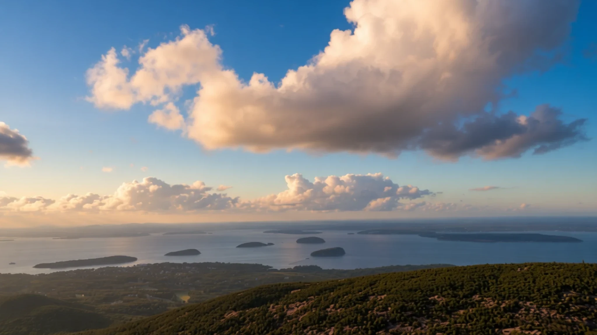
Come for granite shoreline, glacier-carved hills and miles of carriage roads, and plan around crowds and changeable coastal weather.
The place
Acadia National Park is a national park on the rocky coast of Maine, in the north-east of the United States. Most of its land sits on Mount Desert Island, which is reached by road, and the park also takes in part of Isle au Haut, the tip of the Schoodic Peninsula and a scatter of smaller islands offshore. The coast here is a tangle of granite, spruce and inlets. Acadia National Park is home to Cadillac Mountain, the highest peak on the United States' Atlantic seaboard. Many people hike up it at sunrise or sunset, when the light is at its finest and the summit road is less busy.
The landscape is more varied than the headline peaks suggest. Smooth granite domes were shaped by ice, U-shaped valleys hold lakes, and cobble beaches sit below wooded slopes. Mountains, lakes, streams, wetlands, forests, meadows and shoreline support a wide range of plants and animals, so a single morning can take in bog, seashore and high rock. Running through it all is a network of carriage roads, closed to cars and built with money from the philanthropist John D. Rockefeller Jr. The park covers 49,075 acres as of 2017, which makes it large enough to fill several days but small enough that its best parts are reachable on foot.
Crowds are the main thing to plan around. Summer weekends and the autumn colour season bring heavy traffic onto the Park Loop Road, and popular trailheads can fill by mid-morning. Cool, damp weather is common even in midsummer, and sea fog can roll in and hide the view entirely, which is part of the place's character when it lifts.
Its story
Acadia National Park sits on land that Native people have known for at least 12,000 years. The Wabanaki Confederacy, whose name means People of the Dawnland, is made up of five related nations, and several of them still call Mount Desert Island Pemetic, meaning range of mountains. The island has stayed at the centre of the Wabanaki homeland and of the stewardship responsibilities that go with it. Wabanaki people sailed out to the island in canoes made of birch bark, where they hunted game, caught fish, picked wild berries and dug up clams. They also cut sweetgrass, which they wove into baskets. Camps near Somes Sound show how the coast was used through the seasons.
The name Acadia has its own history. It comes from a Mi'kmaq word, akadie, meaning something like piece of land, which French explorers wrote as l'Acadie before English speakers settled on Acadia. In the early seventeenth century the island district was led by a chieftain named Asticou, part of a wider alliance called Mawooshen under a grand chief known as Bashaba. The place called Castine, Pentagoet in the native language, was a favoured meeting point for the Wabanaki nations at the mouth of the Bagaduce River, just west of the island.
In the nineteenth century the island changed character as summer visitors arrived and wealthy families built estates along the shore. Conservation-minded residents then pressed for protection, and George B. Dorr, often called the Father of Acadia National Park, was central to that effort. President Woodrow Wilson first set the land aside in 1916 as Sieur de Monts National Monument. In 1919 it was renamed Lafayette National Park, and it became the first national park in the United States east of the Mississippi River.
What to see
- Bubble Rock outlook — Bubble Mountain, above Jordan Pond
A large boulder sits balanced on the top of Bubble Mountain, left there when the glacier retreated during the last ice age. Walk the short path to the outlook and look for the small chatter marks and dykes in the surrounding rock, which record the ice's movement. From the summit you can see across Jordan Pond, where a moraine lies beneath the water and the lake makes a good first photograph of the park.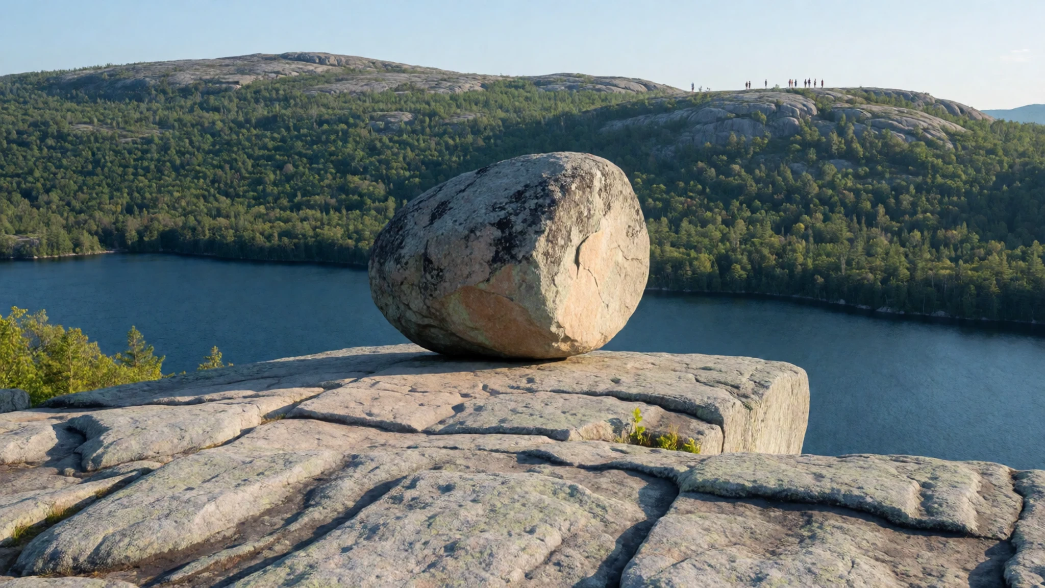
- Egg Rock Light — Frenchman Bay, seen from the Loop Road
Egg Rock Light is an 1875 lighthouse standing on a barren ledge in the middle of Frenchman Bay, east of Mount Desert Island. It is best appreciated from a distance, and the Loop Road offers views across open water to the light. Go on a clear morning, when the bay is calm, and bring binoculars for a closer look at the rock and the birds around it.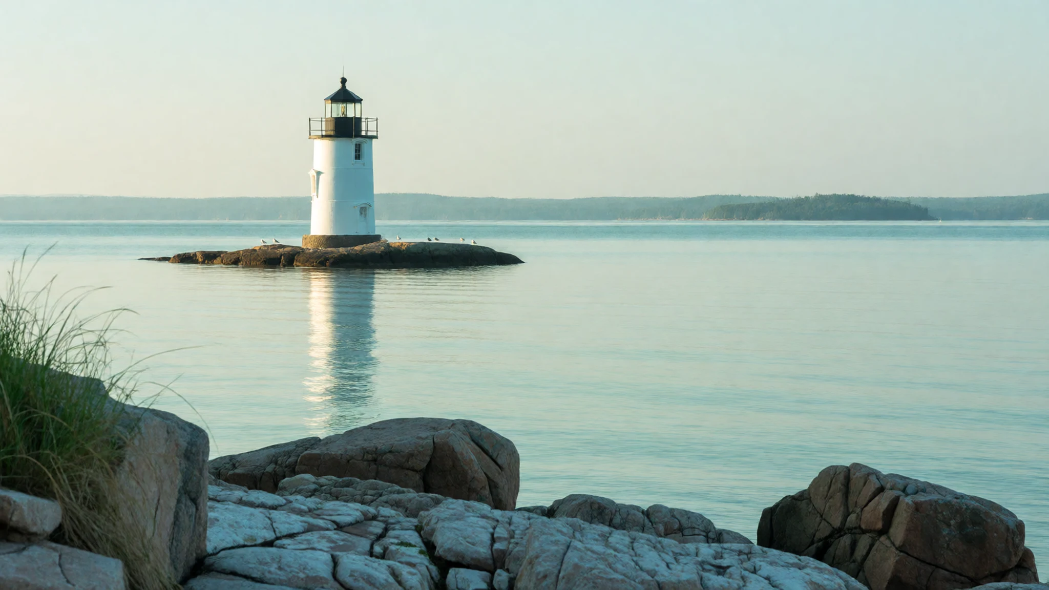
- Wild Gardens of Acadia — Sieur de Monts, near the park's centre
The Wild Gardens of Acadia gather the island's habitats into one compact site at Sieur de Monts. Small displays range from bogs to seashores to alpine forests, so the plants change with every short walk. It makes a useful first stop for anyone wanting to learn the local flora before heading out to the wider trails, and it suits a relaxed hour.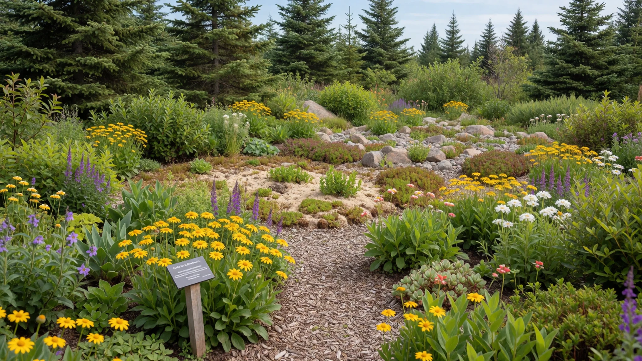
- Sand Beach — Park Loop Road, Mount Desert Island
Sand Beach is an ocean beach reached from the Park Loop Road, and it offers one of the few broad stretches of sand on the island. Its strong undertow is the thing to respect. Stay out of deep water unless you are a strong swimmer, and keep children close to the surf line.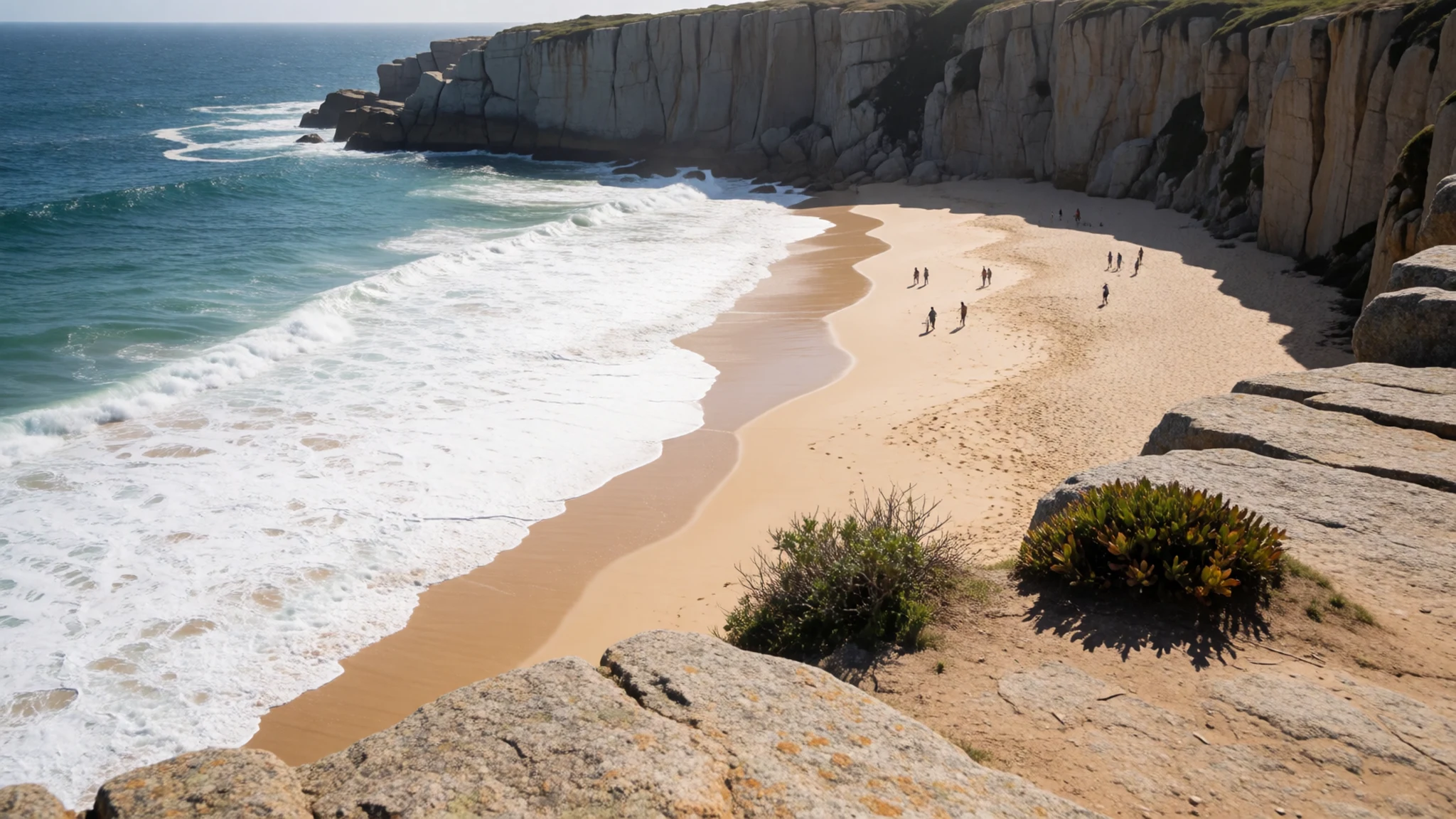
- The carriage roads — Throughout the park; carriage tours from Wildwood Stables
The carriage roads are a network of routes built with money from John D. Rockefeller Jr., and they run through the park closed to motor vehicles. They are excellent for cycling and make a calmer alternative to the busier loop roads. For a slower option, the Carriages in the Park concession at Wildwood Stables runs regular horse-drawn tours, and private trips can also be arranged.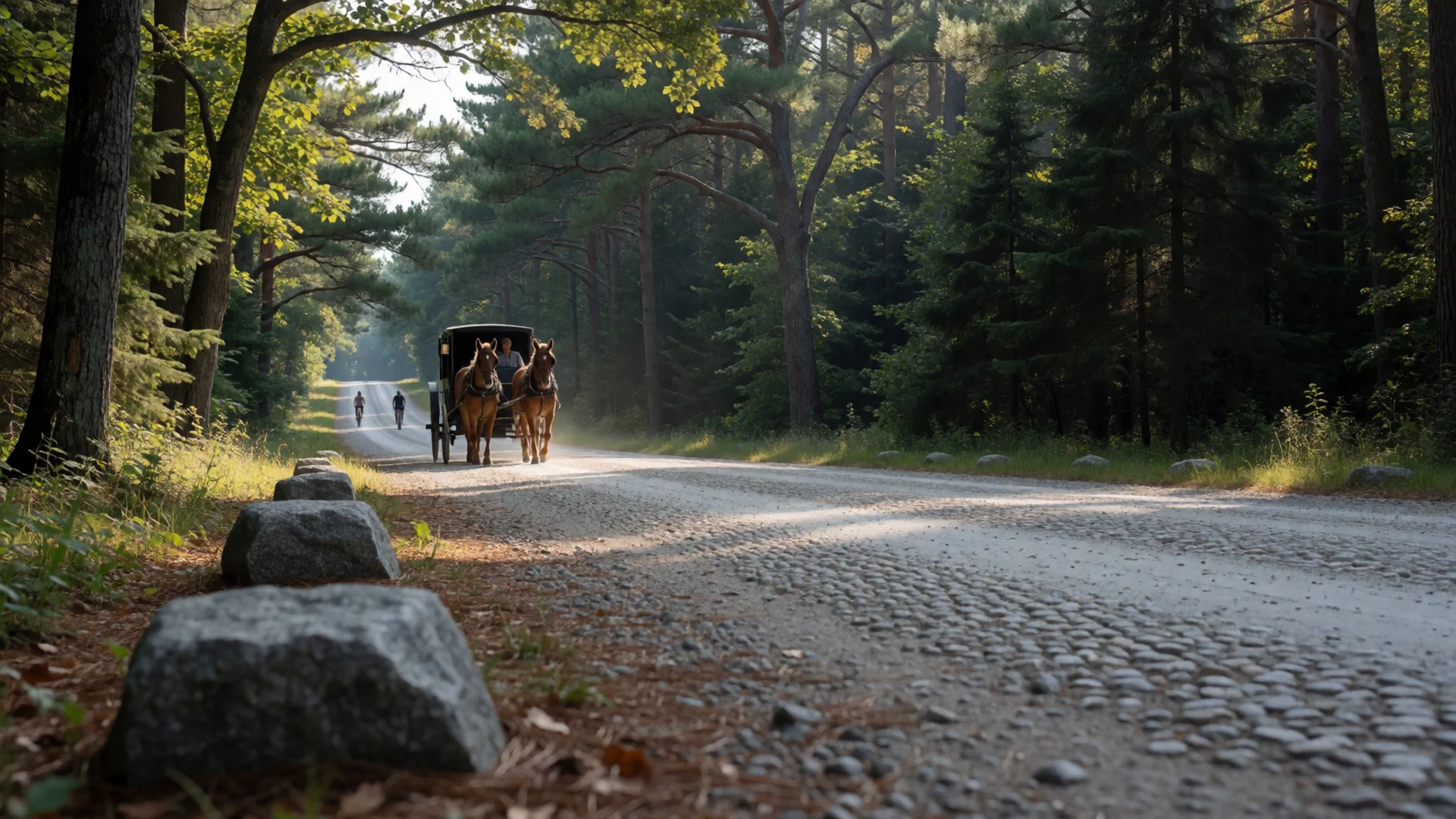
Culture
Acadia National Park is a landscape with a long Wabanaki presence, and the Wabanaki Confederacy still regards Mount Desert Island as part of its ancestral homeland. Visitors meet this history through museums, interpretive signs and ranger talks rather than through ceremonies that expect outsiders to take part. The park is managed by the National Park Service, and its paths and carriage roads are shared by walkers, cyclists and horse-drawn carriages, so good manners matter. Many people come for the quiet of the trails, which makes loud conversation and music better kept for the car park. Stay on marked trails, leave birch bark, sweetgrass and plants where you find them, and keep well back from cliff edges.
What to wear
Acadia National Park lies on land where the Wabanaki people have made clothing, tools and containers for many generations, although the sources here say little about everyday dress. The craft most closely tied to the region is basketry. Sweetgrass was gathered and woven into baskets, and birch bark was shaped into canoes, containers and shelters. A birch bark wigwam built by a Penobscot family near the Abbe Museum shows that the material is still worked today.
Visitors now dress for the outdoors rather than for any local tradition. Fleece, wool and a waterproof shell are common on the trails and carriage roads, and most people in the surrounding towns wear ordinary coastal clothing.
For a visit, pack in layers. The average July temperature is about 19.9 °C (67.7 °F), but the weather can turn cool and damp at short notice, and winter is cold enough to be severe. Granite and wet roots call for shoes with proper grip, and a rain jacket matters because fog arrives quickly. Modesty norms are relaxed, so the practical rule is to stay dry and warm.
What to eat
- Maine lobster — Simple harbourside shacks and seafood eateries along the coast
Lobster is the dish most visitors expect on the Maine coast. It is usually steamed or boiled and served with melted butter, and it is best eaten simply, as the seafood itself carries the flavour.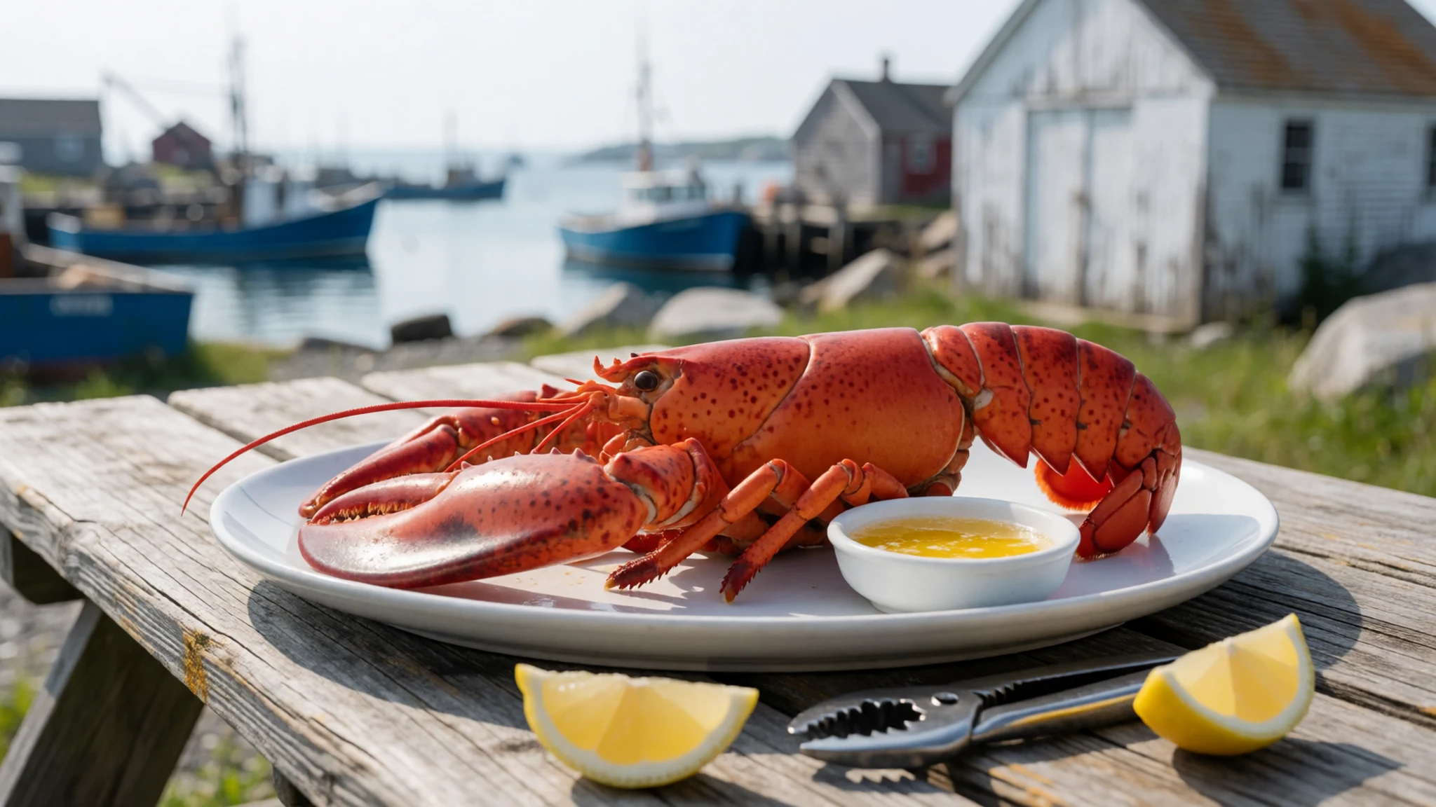
- Lobster roll — Seafood shacks and roadside stands near the water
A lobster roll is cooked lobster meat, lightly dressed and packed into a split bun. Versions vary between cold with mayonnaise and warm with butter. Eat it outdoors on a bench overlooking the water, where the meal is part of the experience.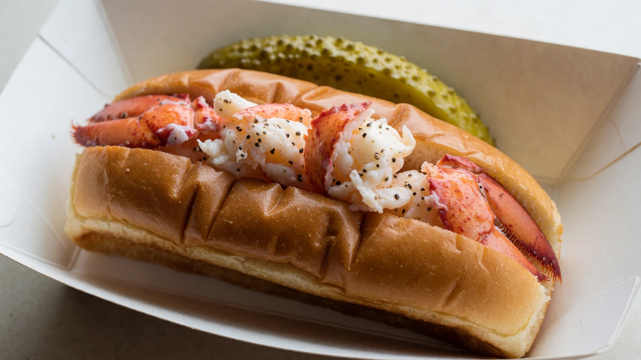
- Wild blueberries — Roadside stands and farm markets on the island in late summer
Maine's wild blueberries are small and intensely flavoured, and they are at their best in midsummer. They appear in pies, muffins and jams, and roadside stands selling them are a good source of a jar to take home. - Clam chowder — Waterfront eateries and inn dining rooms across the region
Maine chowder is a creamy broth thickened with potato and built around clams. It is served as a bowl rather than a cup, and it is most welcome after a cold morning on the trails. - Whoopie pie — Local bakeries in the towns around the park
The whoopie pie is two soft chocolate cakes sandwiching a cream filling, and it is a regional bakery staple. Bakeries in the towns around the park stock them, usually wrapped and ready for a picnic on the hills.
Plan it
Best time. October suits most visitors, with mild air and autumn colour, though the Park Loop Road is busy in leaf season. July and August are the warmest months, averaging about 20 °C (68 °F), but summer is also the busiest time. January averages 22.3 °F (−5.4 °C) and brings the heaviest snow, so winter suits only prepared visitors.
How long. 2–3
Getting there. Most visitors drive, about six hours north of Boston on the interstate to Augusta, then east along the state highway through Ellsworth to Mount Desert Island. The final leg is by road onto the island, so a car makes the park far easier to explore.
Budget. mid
Tips
- Book accommodation on the island well ahead for summer and autumn weekends
- Start early at Cadillac Mountain, where sunrise is a popular time to be there
- Expect parking at busy trailheads to fill by mid-morning in peak season
- Carry layers even in summer, since fog and wind can cool the coast quickly
- Carry water and wear shoes with grip, because wet granite is slippery
- Check the official site at nps.gov/acad before you go for current park information and carriage tour times
Etiquette
- Stay on marked trails and keep off fragile bog and lichen
- Leave birch bark, sweetgrass and rocks where they lie
- Give horses and carriages room on the carriage roads and keep voices low
Nearby
Sources
- Wikidata Q337396 (CC0)
- Wikipedia, Acadia National Park (rev 1375277111) (CC BY-SA 4.0)
- Wikivoyage, Acadia National Park (rev 5393471) (CC BY-SA 4.0)
- Acadia National Park (Jordan Pond and the Bubbles), Maine, by Plh1234us (CC BY 3.0)
- Main Acadia National Park map, U.S. National Park Service (Public domain)
- The colors of Acadia in the Summer, by Maddie.d.photography (CC BY-SA 4.0)
- Penobscot birch bark wigwam, by Cortomaltais (CC BY-SA 2.0)
- Baker Island toward Mount Desert Island, National Park Service (Public domain)
- Acadia National Park, computer image generated using TruFlite, by Martin D. Adamiker (CC BY 3.0)
- Green Mountain Cog Railway on Cadillac Mountain, by B. Bradley (Public domain)
- George B. Dorr and Charles W. Eliot on the shore of Jordan Pond, National Park Service (Public domain)


