Yugyd Va National Park
Yugyd Va National Park, Russia
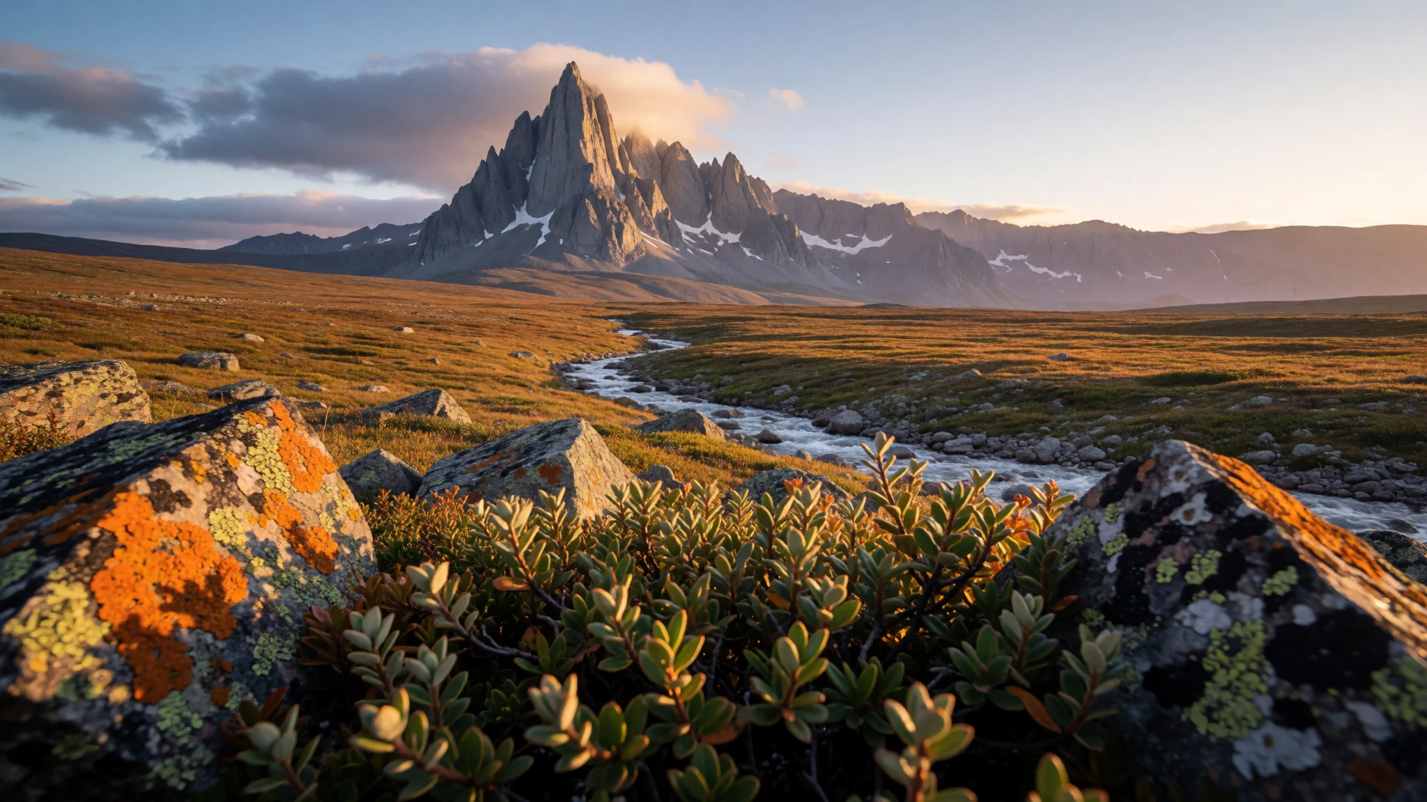
Yugyd Va is a vast, mostly roadless Polar Ural wilderness where rivers, peaks and taiga still feel untouched.
The place
Yugyd Va National Park (Югыд ва) sits in Russia’s Komi Republic, stretching across the western slopes of the Polar Urals and the Northern Ural. It sits near the Europe–Asia boundary, with the park’s eastern edge following the main Ural ridgeline. On maps it reads like a big blank of forest and mountains; in person it feels that way too, because access is limited and a lot of the experience is about moving carefully through remote terrain.
Water shapes the park. Rivers running off the Ural slopes feed into the Pechora River system, including large waterways such as the Bolshaya Synya feeding the Pechora. The park’s natural boundaries also make the geography feel physical rather than administrative: the Kozhim River in the north, and river systems such as Synja, Vangir and Kosya in the west, with the Pechora-Ilych Nature Reserve in the south.
The land is laid out in distinct zones—mountain, foothill and lowland—formed over vast geological timescales. In the heart of the area are big Ural summits like Mount Narodnaya (1894.5 m), Karpinsky (1878 m), Bell Tower (1724 m), Manaraga (1662 m) and Nioroika (1645 m). The name also hints at the landscape’s “bright water” vibe.
For visitors, the key takeaway is scale and weather: this is a wilderness park established in 1994 to protect northern taiga environments, not a place for casual, short detours.
Its story
Yugyd Va National Park was created by the Russian Government in 1994, with protection at the centre and recreational use as a supporting goal for the taiga forests of the Northern Urals. That timing matters, because it helps explain why the park still feels like a living landscape rather than a heavily developed destination.
In the years after the park’s establishment, the wider forest region gained international attention. In 1995, parts of this area—along with the nearby Pechora-Ilych Nature Reserve—were recognised by UNESCO as World Heritage under “Virgin Komi Forests”. That wasn’t about building tourism infrastructure; it was about acknowledging the importance of conserving a relatively intact natural system.
On the ground, the story is less about visitor landmarks and more about routes through difficult country. The park’s boundaries follow major rivers and ridgelines, and the terrain is divided into mountain, foothill and lowland areas. That variety is part of why the park supports different kinds of recreation: people go for hiking, cross-country skiing and winter travel, and they also use the rivers for rafting and boating when conditions allow.
What stands out most is how the “wilderness” label becomes practical. Roads into the interior aren’t available for most regular passenger cars, and driving in requires appropriate vehicles and river-fording ability. So even though the official setup includes visitor-oriented bases and offices, the lived experience still revolves around preparation, right-season planning and respect for a landscape that can change quickly.
What to see
- Kozhim River cordon — Northern boundary around the Kozhim River
On Yugyd Va’s northern edge, the Kozhim River area feels like a natural gate—quiet stretches alternating with sections where the water controls the pace of travel and the forest closes in.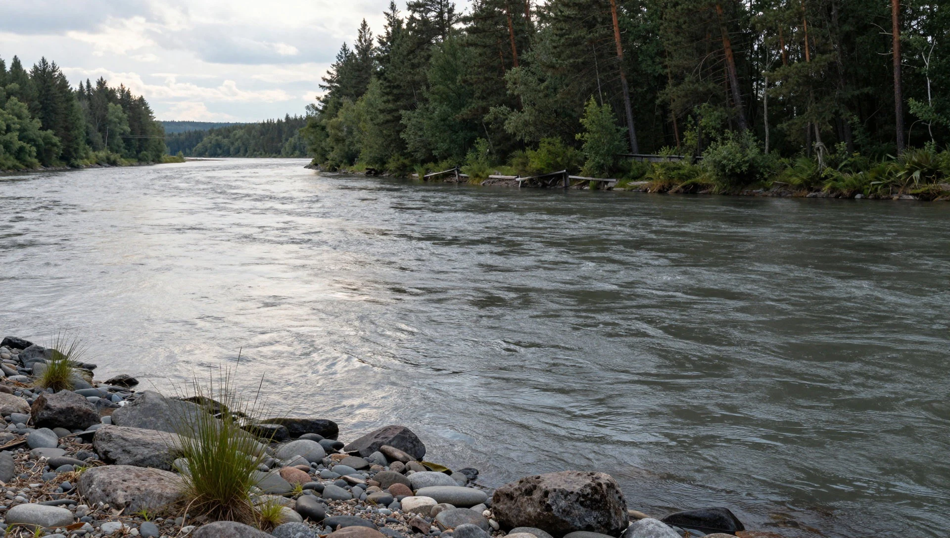
- Rivers and deep valleys — River valleys across the park’s central wilderness
Near Yugyd Va’s river corridors, the terrain drops into deep valleys and fast terrain changes. Those big ridges and cut lines are why rafting and hiking routes often feel more like corridors than loops.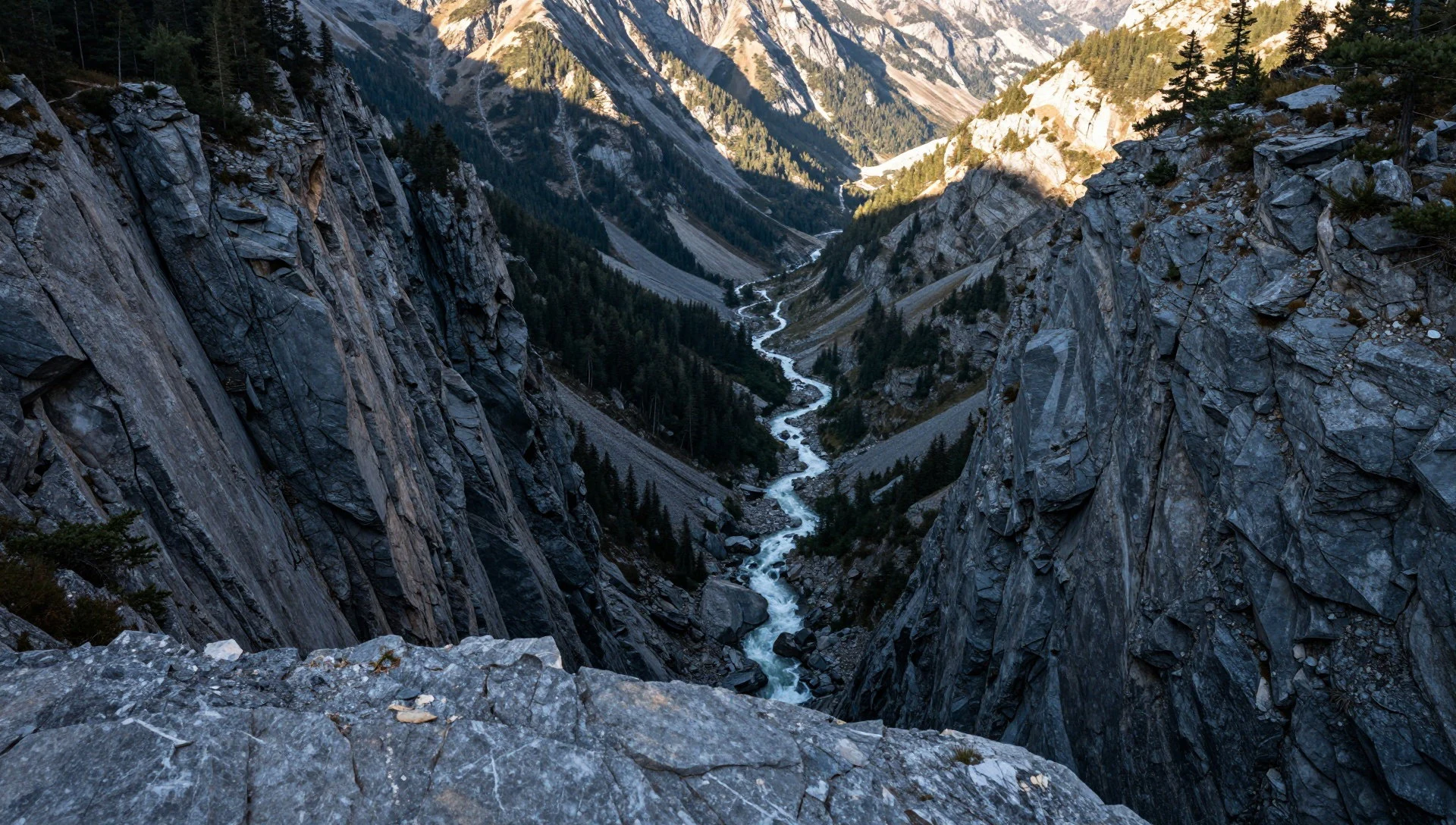
- Viewpoint country near Saranpaul and Manaraga — Area near the village of Saranpaul in the Prepolar Urals
In the Prepolar Urals around Saranpaul, the landscape opens toward the Manaraga massif. Wide river views sit under rugged slopes, and the scale makes summits seem close but still far.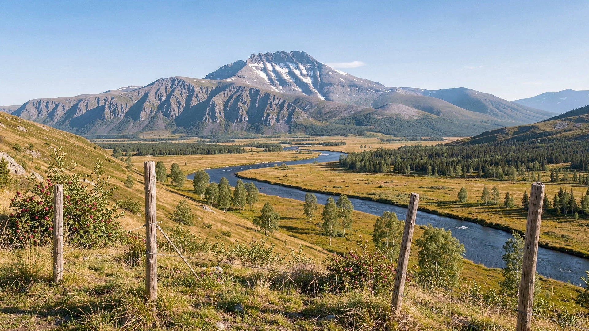
- Manaraga mountain hut base — Manaraga region within the park
The Manaraga Mountain Hut area works like a fixed point in moving wilderness country. Even if day routes are wild, the hut zone gives a clearer sense of where trails converge.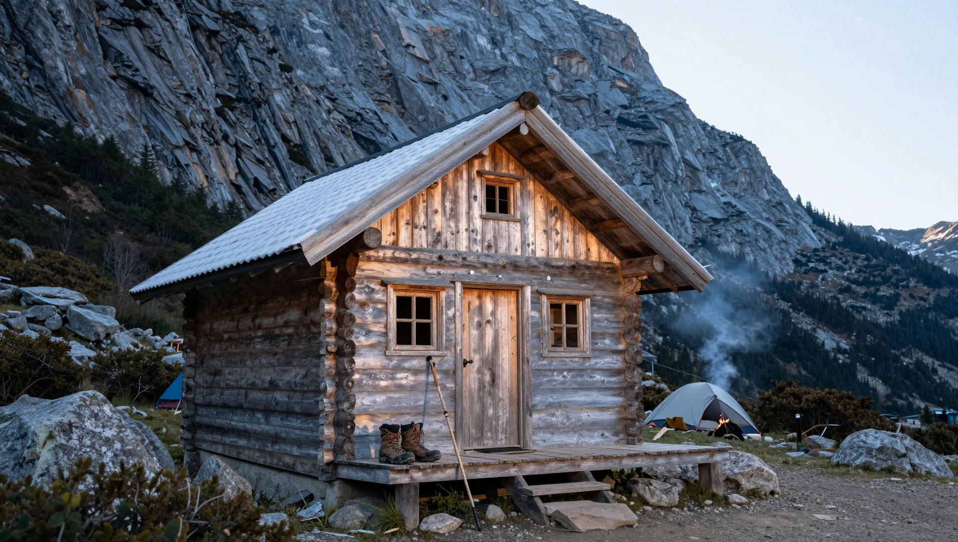
- Sablinsky Ridge wilderness trails — Sablinsky Ridge area
Sablinsky Ridge is a place for walkers who like cold air and long sightlines. Wilderness trails here feel exposed to weather, with the taiga framing the ridge as seasons shift colour.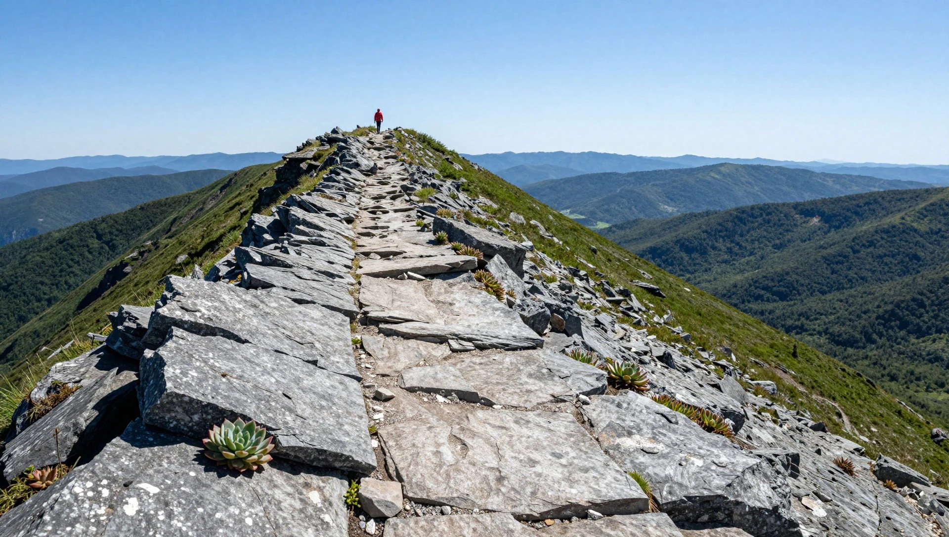
Culture
Yugyd Va National Park’s culture is mostly the culture of the outdoors: practical preparation, low-impact movement and working with the park’s remoteness. There are visitor centres connected with Vuktyl and Inta, and in the interior the park is organised around staffed bases such as Zhellany, where accommodation is hostel-style with cabins available.
Because tourism levels are relatively low compared with the park’s recreational potential, encounters with other visitors can be sparse—especially on routes that go beyond the most popular approach from Inta. Bears are present, and some areas may be closed depending on bear density, so the park’s day-to-day reality is about information from local staff rather than improvisation.
The park also has a simple food culture: visitors generally need to bring their own supplies. Wild berries can be a seasonal reward—cloudberries (морошка) and blueberries show up when timing is right—while huts are not set up as food outlets. Water, by contrast, is described as safe to drink from the park’s flowing streams and rivers, which makes day hikes feel less complicated.
Visitor etiquette here is about safety and respect: follow the guidance on bear-closed areas, keep noise down in wildlife zones and take litter out with you.
What to wear
In Yugyd Va National Park, dressing is less about fashion statements and more about matching clothing to taiga weather, big temperature swings and river-valley terrain. The traditional dress of the region’s communities is typically based on layered, wool-rich garments suited to cold and wind, with practical footwear for snow and mud; visitors won’t usually need to wear traditional outfits, but it helps to understand that warmth and coverage are the core idea.
What people wear now depends on the season and the kind of travel. In colder months, expect thick layers—thermal tops, insulating mid-layers and windproof outerwear—plus hats and gloves. In warmer periods, people still dress for changing conditions: breathable layers for walking, but a jacket for sudden weather shifts.
For visitors, the safe rule is to dress for cold plus wet-plus-wind, because “comfortable” can turn into “dangerously cold” quickly in open mountain areas. Sturdy boots with good grip matter for rocky slopes and muddy edges, and warm socks are non-negotiable. At any formal or visitor-centre setting, modest, clean layers are the norm; avoid open-toe footwear that won’t cope with snow melt or wet grass.
What to eat
- Bring-your-own meals — Park huts and bases that do not sell food (prepare from town before entering)
Yugyd Va is a “self-supplied” park: huts do not sell food, so most meals come from what visitors bring. This keeps planning simple on the trail but means carrying more from the start.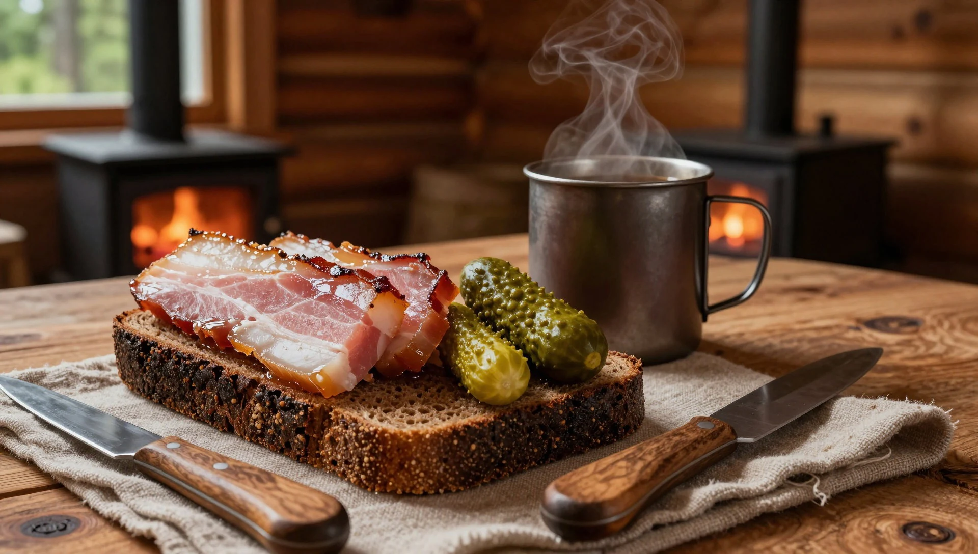
- Cloudberries (морошка) — In-season foraging opportunities across the park
Cloudberries can be found if the timing is right, and they’re a well-known seasonal reward in the park. They’re best treated as a bonus rather than a guaranteed snack on any given day.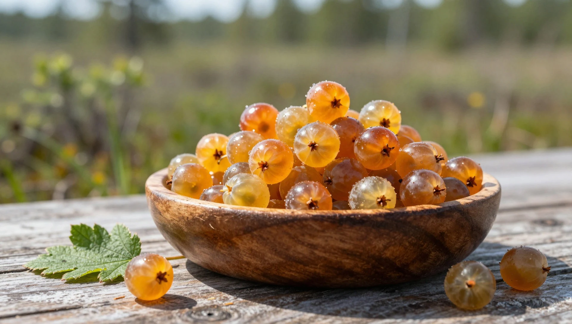
- Blueberries — Taiga areas across the park
Blueberries are common throughout Yugyd Va, making them a recurring seasonal flavour. Like cloudberries, they depend on the right time of year and the luck of finding the plants. - Drinking-water from streams and rivers — From flowing streams and rivers inside the park
The park describes the water as safe to drink, removing the need to filter from flowing streams or rivers during hikes. Still, carry a bottle for practical sips on the move.
Plan it
Best time. For weather, the warmest months are July and August, with July slightly cooler; the coldest stretch is January through March. Rainfall peaks in August (about 141 mm) and stays high through June and July, then eases through autumn into the colder months.
How long. 3–4
Getting there. The closest practical entry is via Inta, with the most popular road approach heading from Inta to the Zhellany mountain hut near Gora Narodnaya. From there, plans are organised around the park’s bases and routes.
Budget. mid
Tips
- Use the Inta-to-Zhellany route logic for the easiest popular approach rather than trying to drive in independently
- Book shared transport options from Inta if using a taxi arrangement; depart from either the Zhellany base office or Inta train station
- Plan for river crossings and variable conditions on the road approach; check conditions close to departure
- Pack food in advance—park huts don’t sell any food
- Expect bears: follow any closures and use local guidance for where risk is higher or lower
Etiquette
- If an area is closed due to bears, do not enter—ask for alternatives via the visitor centres or base staff
- Treat rivers and river corridors as sensitive: move carefully and avoid unnecessary disturbance
- Carry out all rubbish and keep camps neat to protect the taiga feel of the park
Nearby
Sources
- Wikidata Q142874 (CC0)
- Wikipedia (rev 1378660410) (CC BY-SA 4.0)
- Wikivoyage (rev 5422971) (CC BY-SA 4.0)
- Photo photos/01-saranpaul-view-over-river.jpg (CC BY 2.5)
- Photo photos/02-.jpg (Public domain)
- Photo photos/03-ugid-va.jpg (CC BY 3.0)
- Photo photos/04-253.jpg (CC BY-SA 4.0)
- Photo photos/05-cloudberry-in-yugyd-va-n-p-cropped.jpg (CC BY-SA 4.0)
- Photo photos/06-cloudberry-in-yugyd-va-n-p.jpg (CC BY-SA 4.0)
- Photo photos/07-cordon-of-the-yugyd-va-national-park.jpg (CC0 1.0)
- Photo photos/08-manaraga-mountain-hut.jpg (CC BY-SA 4.0)


