Xochicalco
Xochicalco, Mexico
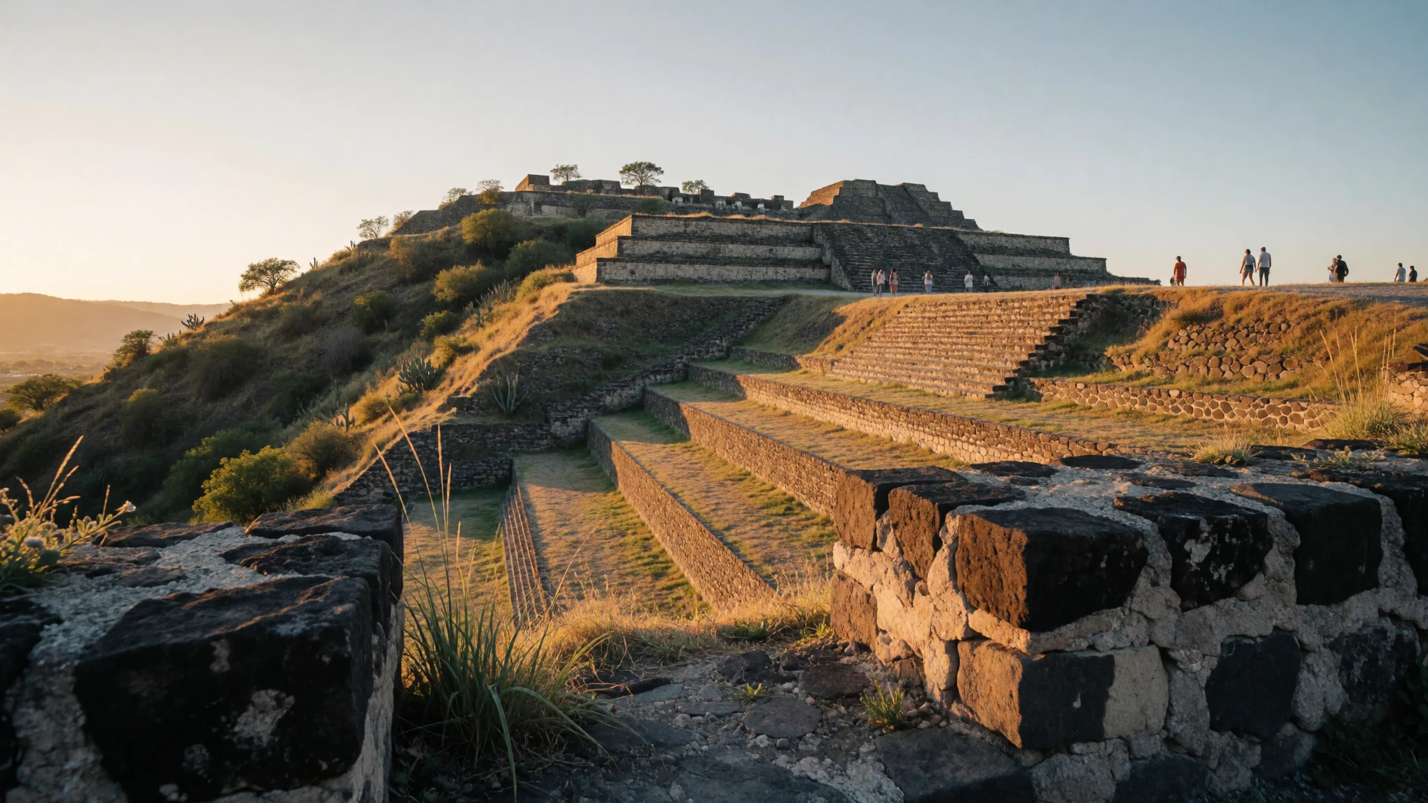
Xochicalco is a dramatic fortified ceremonial city where architecture, water engineering and iconography hint at cross-cultural trade.
The place
Xochicalco sits in Miacatlán, in the western Mexican state of Morelos, on a high, artificially levelled hill. It’s the sort of place where the layout explains the story: the ceremonial core is up top, and residential structures spill down the slopes across long terraces that help hold the hillside together. The result feels less like “ruins on a map” and more like an engineered town adapted to challenging ground.
The name Xochicalco is often linked to Nahuatl, with a poetic translation along the lines of “in the house of Flowers”. Visitors come for the stonework and the messages carved into it, but the site also rewards slower walking—especially around the places where iconography and practical engineering meet.
In the broader timeline, Xochicalco rose after the decline of earlier major cities in Mesoamerica, and its architecture shows connections with Teotihuacan, Maya areas and the Matlatzinca culture of the Toluca Valley. That blend makes it interesting even if you’re not an expert: you can sense influences in how buildings sit, how motifs repeat, and how spaces were planned for public ritual and everyday life.
A small museum on site helps set the context, and it’s a useful stop if the midday sun is turning the stones into a heat trap. Even when crowds are light, expect a proper walk: terraces, uneven ground and plenty of steps make comfortable shoes a real requirement for enjoying the day.
Its story
Xochicalco’s story starts with traders and shifts in power. The city was founded around the early part of the first millennium by a group known as the Olmeca‑Xicallanca, described as Maya traders from Campeche, who took advantage of a strong position along major Mesoamerican trade routes. From there, Xochicalco became a fortified commercial and religious centre—built as much for protection as for exchange.
The countryside around Xochicalco is not known for effortless farming, and that matters: it helps explain why the settlement looks defended and why daily life seems intertwined with resource management and movement of goods. The city’s peak is usually placed in the Epiclassic period, with most of the architecture that visitors see today dating to that era.
For early modern explorers, the site didn’t disappear quietly. It was first described in the late eighteenth century, and later writers and researchers helped bring Xochicalco to a wider audience. Archaeological work continued through the twentieth century with major mapping and excavations focused on houses, workshops and monumental architecture.
A key feature of the narrative is continuity and change—Xochicalco absorbing and expressing influences from different cultural regions, while still maintaining its own local character. Even today, the nearby village of Cuentepec is linked with Nahuatl, and that living thread adds extra texture when you’re standing in a place that was once a hub for trade and ceremony.
What to see
- Museo de Sitio de Xochicalco — Entrance and main museum area
Start here if you can. The on-site museum, run by INAH, gives interpretive context for the ruins—who built them, how the site functioned and what daily and ceremonial life may have looked like. It’s also a good mid-visit breather from the sun.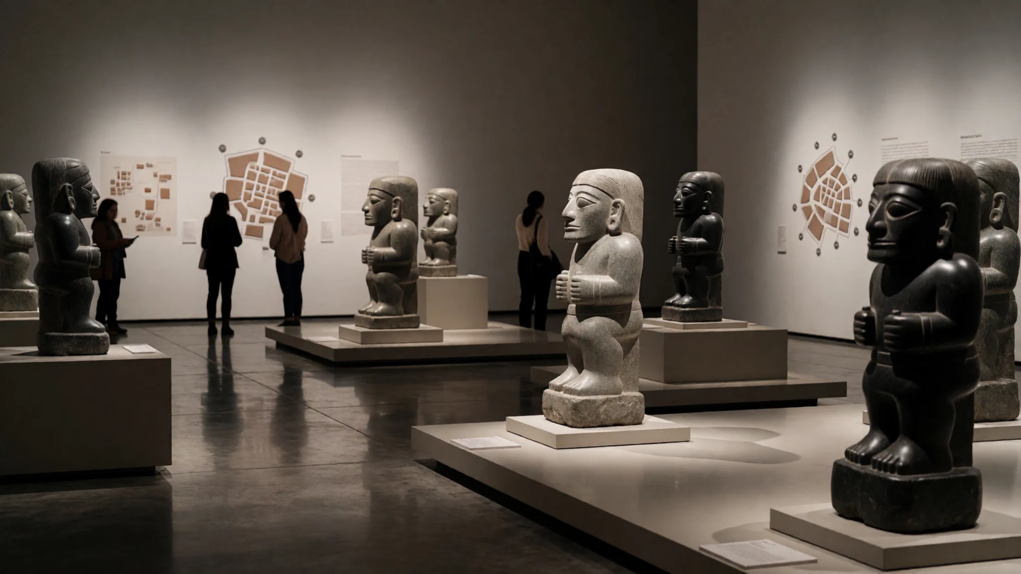
- Temple of the Feathered Serpent — Main ceremonial zone
At Xochicalco, the Temple of the Feathered Serpent stands out for its symbolic stonework. Look closely at the recurring motif themes and the way the structure is set into the ceremonial landscape. It’s one of the easiest places to connect “story” to “stone”.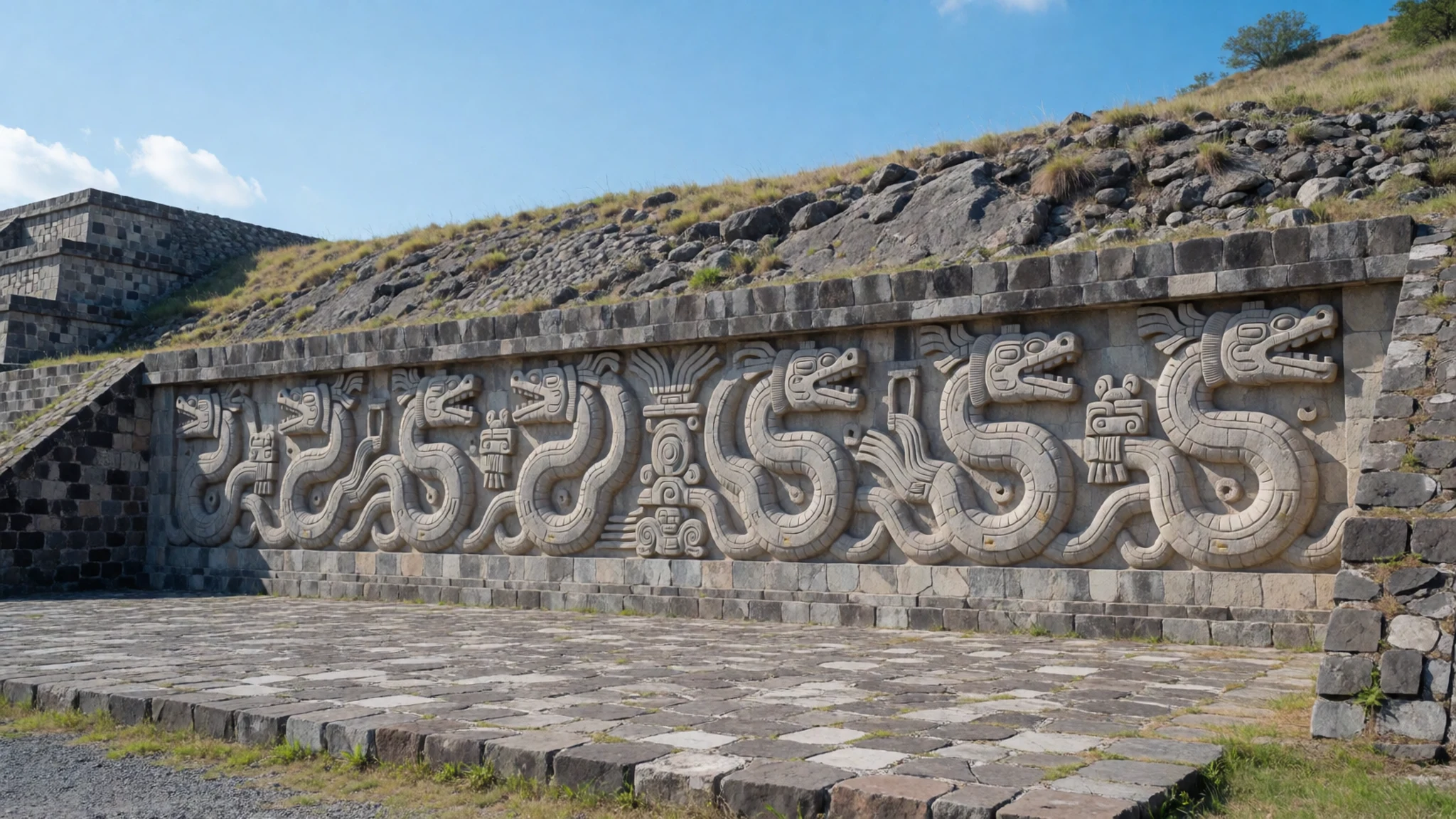
- Plumed Serpent temple details — Ceremonial temple precinct
The Plumed Serpent temple is where you’ll appreciate the precision of the carvings. Even when weather has softened the edges, the intent is visible: it’s a public-facing display meant to be read from particular angles in the wider complex. Take time with the surfaces.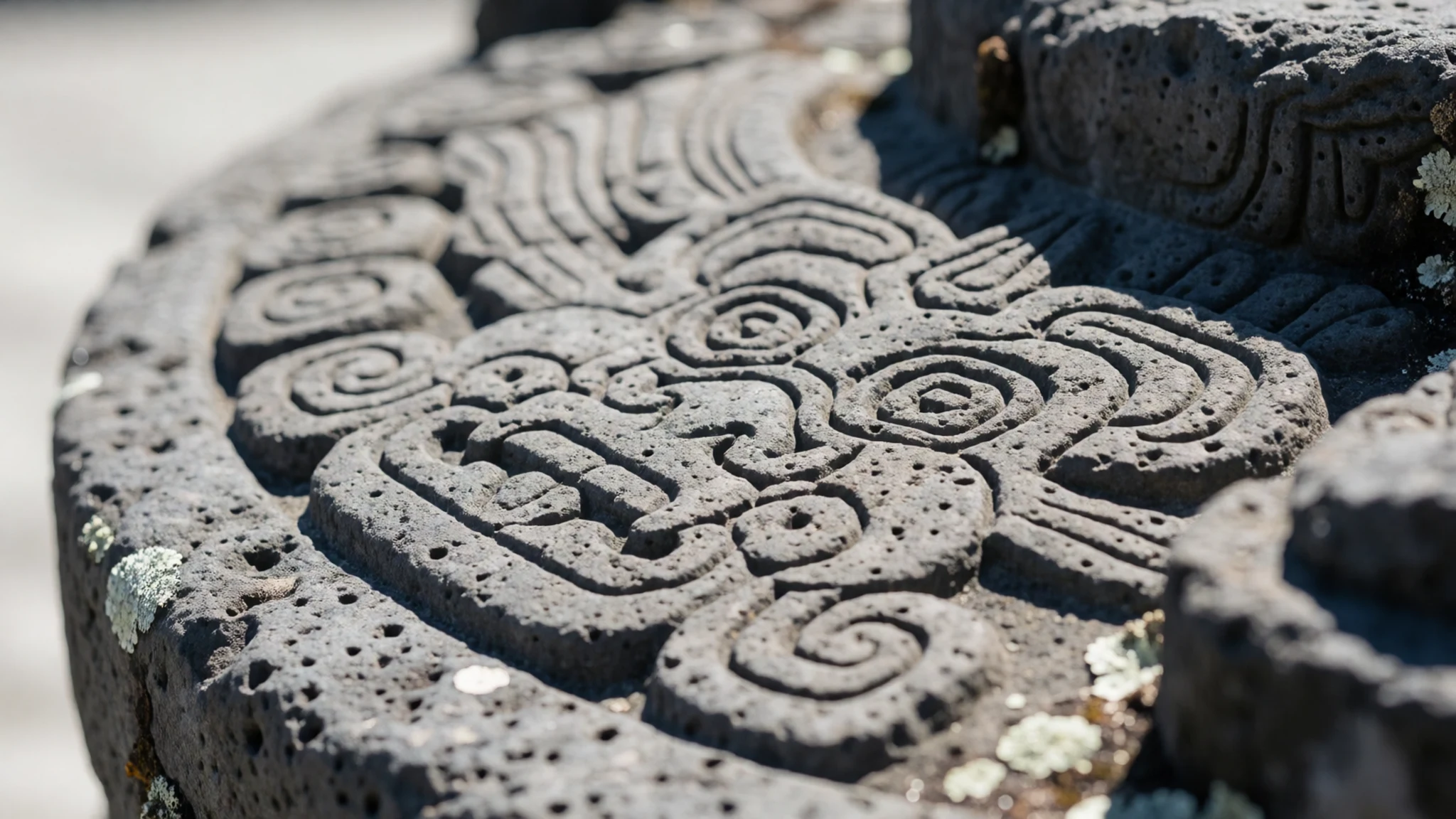
- Ceremonial pyramids and terraces — Hilltop core and sloping terraces
Xochicalco’s main ceremonial centre rises above the terraces, with residential structures described as extending down the slopes. The terraces aren’t just scenic—they’re part of how the site was organised. A slow climb helps you understand how movement and views were designed.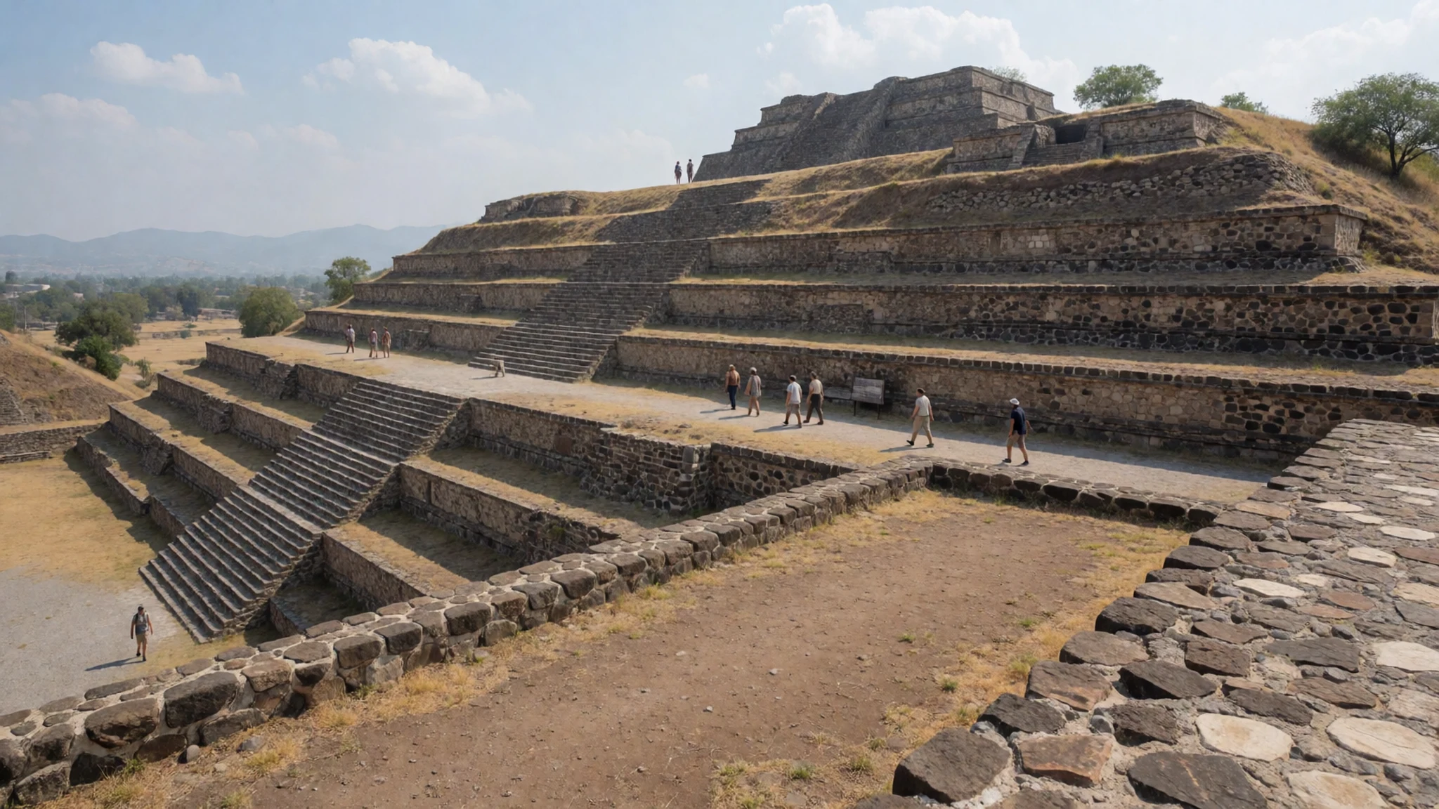
- Drainage and water engineering — Across the terraces and built surfaces
Rain and runoff are part of what the site had to deal with, and you can still spot the practical solutions. Drainage features show how water was channelled away in ways that protected structures and controlled the hillside. It’s an engineering layer that makes the place feel lived-in.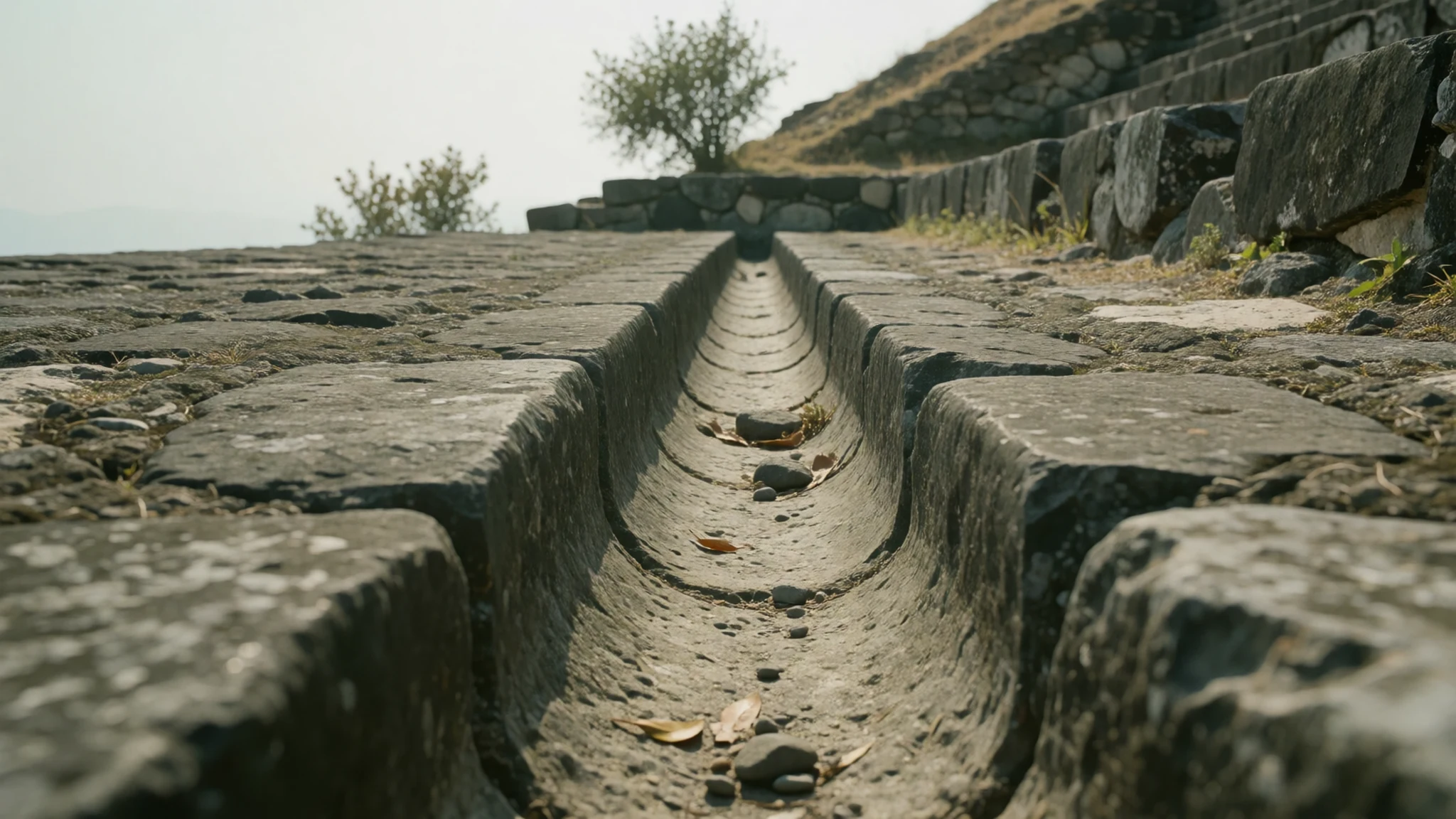
Culture
Xochicalco isn’t a theme park—people come to respect archaeological heritage, and the site layout encourages you to behave that way. Keep voices low near the temples and carvings; the spaces were designed for gathering, and loud chatter can steamroll the atmosphere. Walking routes involve uneven, sometimes rocky ground, and several areas require careful footing, so avoid rushing up steps or stepping into areas that look closed or under protection.
Photography is usually fine, but treat it like you would in a museum: don’t block others’ views of the main façades and don’t climb on stones for a better angle. If you’re visiting in the heat, plan your pace—midday sun can make people sloppy, and that’s when accidents happen.
Dress sensibly for Mexico’s sun and for archaeological sites: a hat and sun protection are practical, and sturdy shoes matter more than aesthetics because terraces can be unforgiving.
Visitor etiquette: keep to the marked paths, don’t step onto fragile carvings or climb structures, and keep your camera use from blocking others’ views.
What to wear
Xochicalco doesn’t have a “traditional dress” requirement, but it’s still worth dressing with the reality of the site in mind: bright sun, climbing and lots of stone. In terms of cultural context, the wider region has strong Indigenous textile traditions, and local clothing is often influenced by Nahuatl-speaking communities around Morelos—shawls and woven fabrics show up in everyday life and local markets. For many visitors, the best approach is practical rather than costume.
What people wear now is mostly what you’d expect for a day trip: breathable T-shirts or light tops, long trousers or shorts, and comfortable layers for shade. At archaeological sites, modesty usually means “cover up enough that you feel respectful,” especially around temples.
For your visit: wear tough, closed-toe shoes with grip for rocky terraces; bring a hat or cap and sunglasses; choose lightweight fabric that handles heat. If you’re staying longer into the afternoon, a light long-sleeve layer helps with sun without feeling heavy. Avoid anything with loose hems that can catch on steps.
What to eat
- Simple buffet lunch — On the main road (Carr. Alpuyeca–Grutas de Cacahuamilpa)
Because there aren’t places to eat right by the site, many visitors plan a casual meal ahead of the ruins. Look for open-air patio-style eateries on the main approach road, where a buffet setup makes it easy to eat quickly before exploring.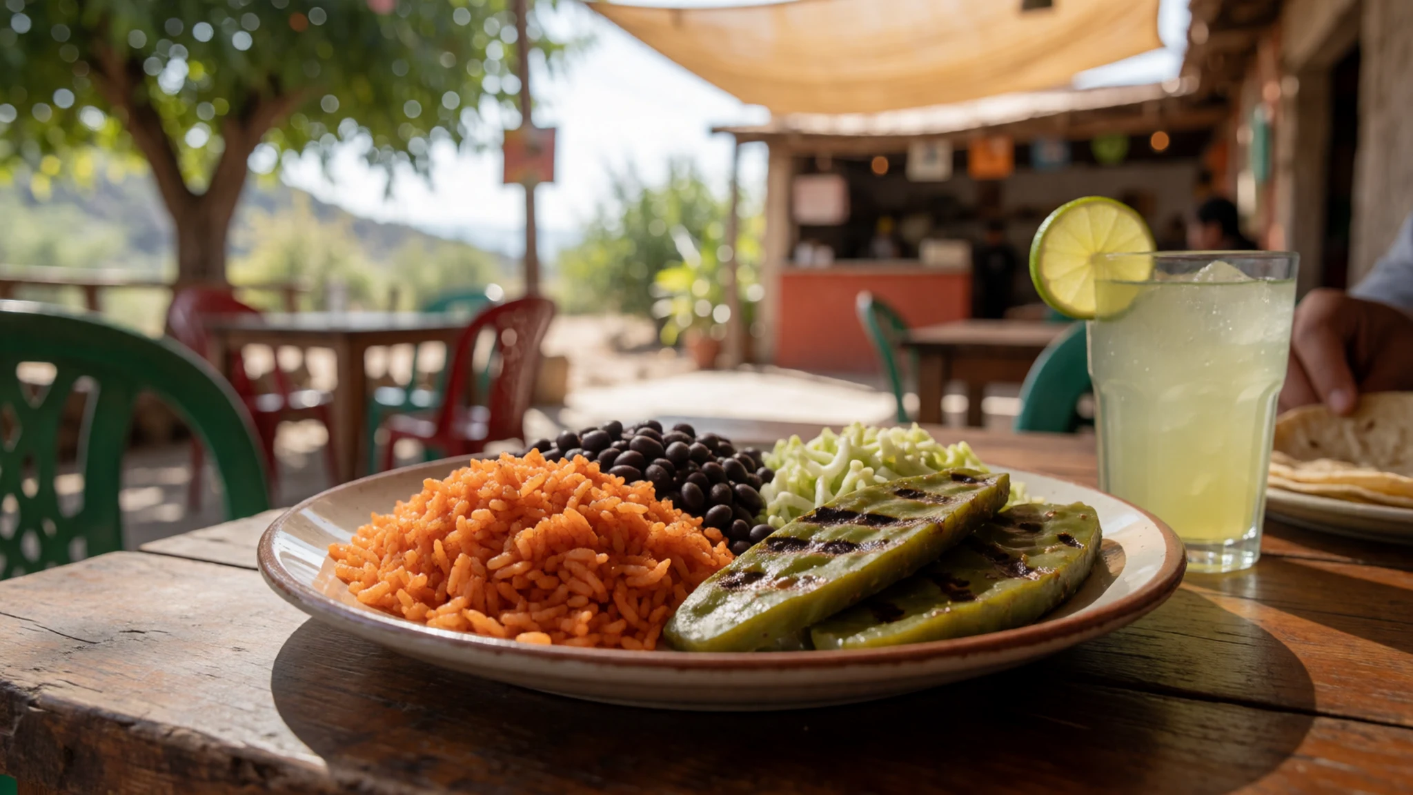
- Fresh fish, made to order — Casual roadside restaurants with a fresh-fish setup
One easy option when you’re eating away from the site is a simple fish dish—often prepared as you like it. This kind of meal works well on a day trip because it’s filling but not usually heavy.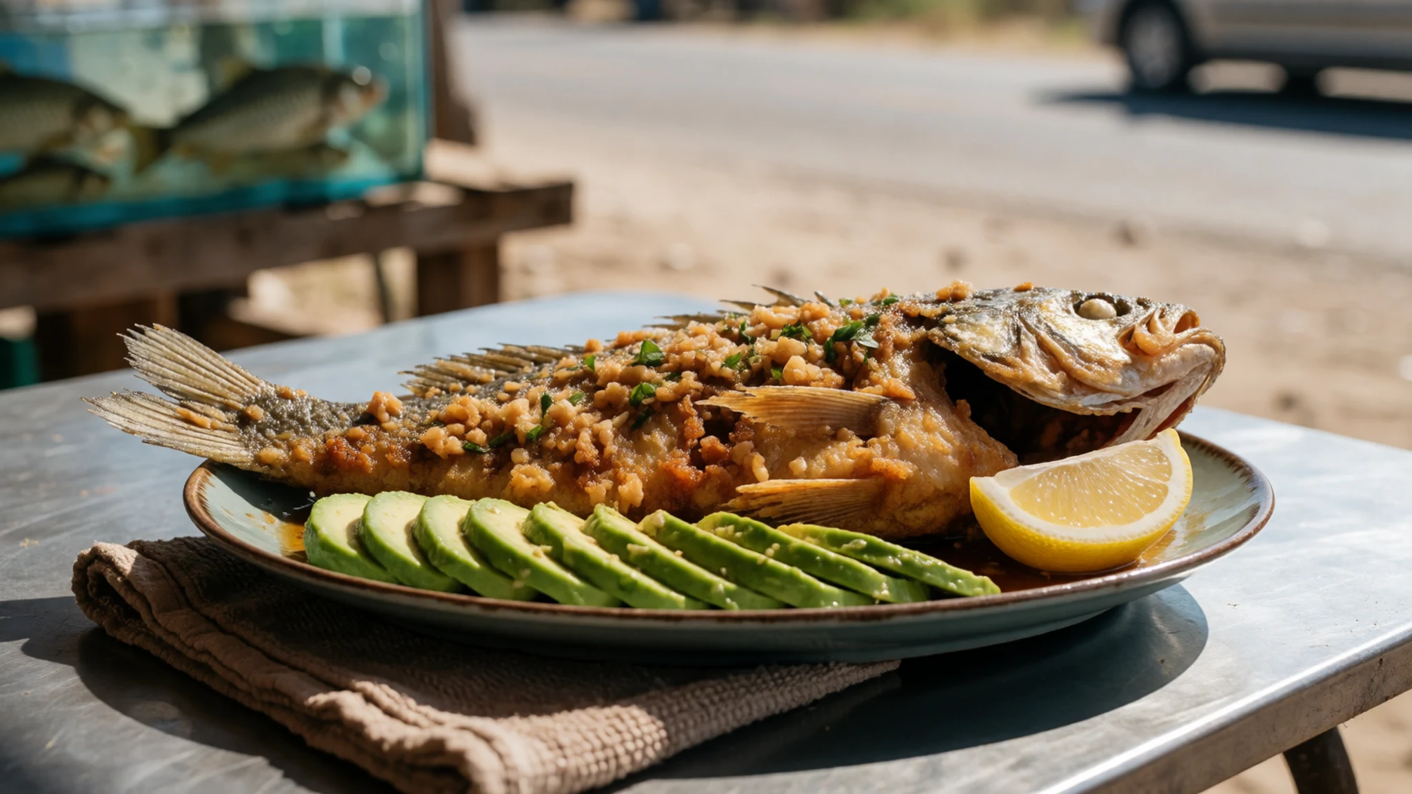
- Street-style snacks before entry — Local eateries and snack stops along the approach routes
If you’re aiming for an earlier start, pick up small snacks—something portable and not too messy—so you’re not hunting around once you’re on the hill. Think of it as fuel while you walk the terraces. - Refill and hydrate drinks — Bottled water stops on the way in
Hydration is a big deal here. Plan on bottled water rather than relying on refills you might not be able to find easily once you’re at the complex, especially if you’re staying into the afternoon.
Plan it
Best time. October–November for more comfortable walking and clearer light; March–April can also be pleasant. June is the rainy season and August is hot and humid.
How long. 3–4
Getting there. Fly into Mexico City or the wider capital area, then head to Cuernavaca and transfer onward by local transport; from Cuernavaca, you can take a bus towards the site area, and the last leg is usually by short taxi ride.
Budget. mid
Tips
- Arrive early in the day to avoid the harshest sun on the terraces.
- Bring enough water for a long afternoon at the site.
- Wear shoes with grip; the terrain can be rocky and full of climbs.
- Add a museum stop to slow down and cool off when needed.
- If you want to see more, allow time for the observatory access rules once you arrive.
Etiquette
- Keep voices down around temples and carved surfaces.
- Stay on the paths and avoid climbing onto structures or stones.
- Be considerate with photo-taking so others can still view the main façades.
Nearby
Sources
- Wikidata Q797120 (CC0)
- Wikipedia (rev 1365742081) (CC BY-SA 4.0)
- Wikivoyage (rev 5422824) (CC BY-SA 4.0)
- Photo photos/01-mexico-xochicalco-pyramids.jpg (Public domain)
- Photo photos/02-mexico-xochicalco-ballgame.jpg (Public domain)
- Photo photos/03-xhichicalco-drenaje-grvp.jpg (CC BY-SA 4.0)
- Photo photos/04-xochicalcotempleofinscriptions.jpg (CC BY 3.0)
- Photo photos/05-xochicalco-serpiente-emplumada-gr.jpg (CC BY 3.0)
- Photo photos/06-2019-01-01-juancarlosgomez-1.jpg (CC BY 4.0)
- Photo photos/07-acr-polis-de-la-zona-arqueol-gica-de-xochicalco-morelos.jpg (CC BY-SA 4.0)
- Photo photos/08-acr-polis-desde-arriba.jpg (CC BY-SA 4.0)


