Wuyi Mountains
Wuyi Mountains, People's Republic of China
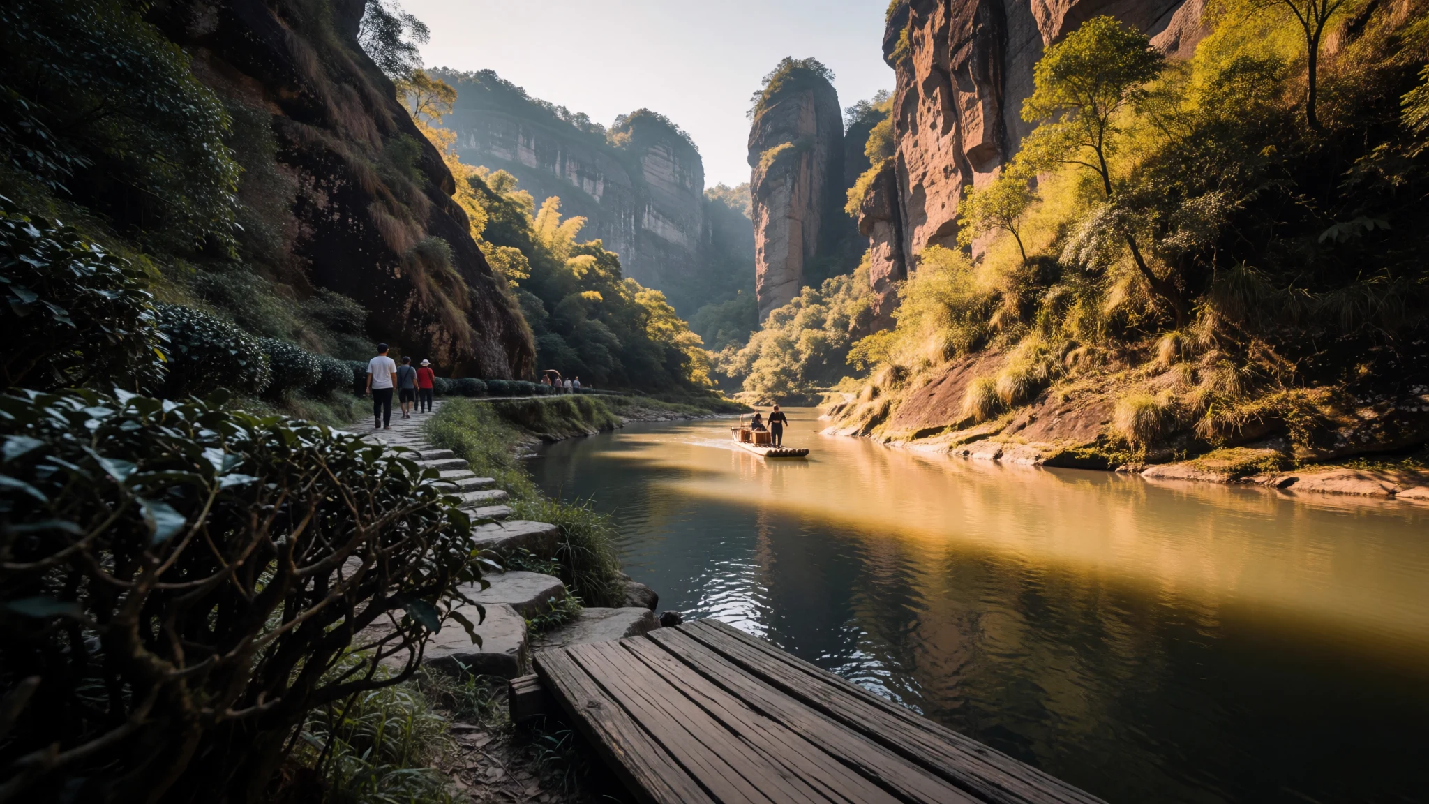
Wuyi Mountains mix steep river gorges, tea culture and living landscapes—excellent for slow hikes and river-raft days without needing big-city energy.
The place
Wuyi Mountains (Wuyishan) are located in northern Fujian, close to the Jiangxi border and the Nanping area. The landscape is all about vertical drama: river valleys cut through mountain slopes, and the height changes quickly from low basins to high peaks. The highest point in the area is Mount Huanggang at 2,158 metres, where the boundary between Fujian and Jiangxi is visible in the way trails and views shift by ridge.
The reason people come isn’t only the scenery—it’s also what’s growing there and how the region is used. Wuyi is globally associated with oolong and black teas sold under the umbrella name Wuyi tea, including Da Hong Pao (Big Red Robe) and lapsang souchong. Many tea stories here are rooted in place: particular valleys and slopes, plus a long relationship between people and the seasonal rhythms of the hills.
On the heritage side, Wuyi is a UNESCO World Heritage Site, recognised for a blend of natural values and cultural layers. The protected area is structured into multiple core parts, including the Nine-bend Stream ecological protection section and the Wuyishan National Nature Reserve and Scenic Area. There’s also a small cultural protection zone connected to remnants of the Ancient Han Dynasty.
Practically, that means the most rewarding days tend to be organised around water (like nine-bend rafting viewpoints) and around valleys where tea and forest meet—walk a bit, then pause in the shade, then walk again when the light turns.
Its story
Wuyi Mountains feel like two trips running side by side: one into tea, and one into terrain. The tea side is easy to notice—signs, valley names, and the constant presence of tea in menus and rest stops. Even if the aim is simply to see the mountains, the day often ends with a tasting or a purchase, because the region practically nudges you toward it.
The terrain side is the real draw for me. The nine-bend river route, viewed from bamboo rafts, turns the gorge into a moving panorama. It’s not just “nice scenery”; it’s a different way of reading the landscape—hills appear, disappear, and reappear as the river turns, and the angle of the cliffs changes your sense of scale. When the river is calm, the ride is relaxing; when there’s splashy water, the front-facing seats and foot-wear matter.
Then there are the viewpoints and smaller stops that reward timing. Some places are reachable by a walk from a bus stop, while others are really more like “look past this point on the way” spots. That’s why crowds can feel strangely uneven: a single valley can be packed, while a nearby trail stretch stays quiet.
Seasonally, Wuyi is about shifting light more than postcard temperatures. The best months people aim for tend to line up with comfortable walking conditions, and autumnal clarity can make the ridges pop. Rain happens too, and fog is part of the character—when the hills dissolve into cloud, the mountains look less like a destination and more like weather moving around you.
What to see
- Nine-Bend River (Jiuquxi) — Nine-bend Stream area
Ride or view the Nine-Bend River for a classic Wuyi perspective. The usual route is from the West Entrance on a bamboo raft, passing rapids and changing gorge angles that make the landscape feel larger than the map.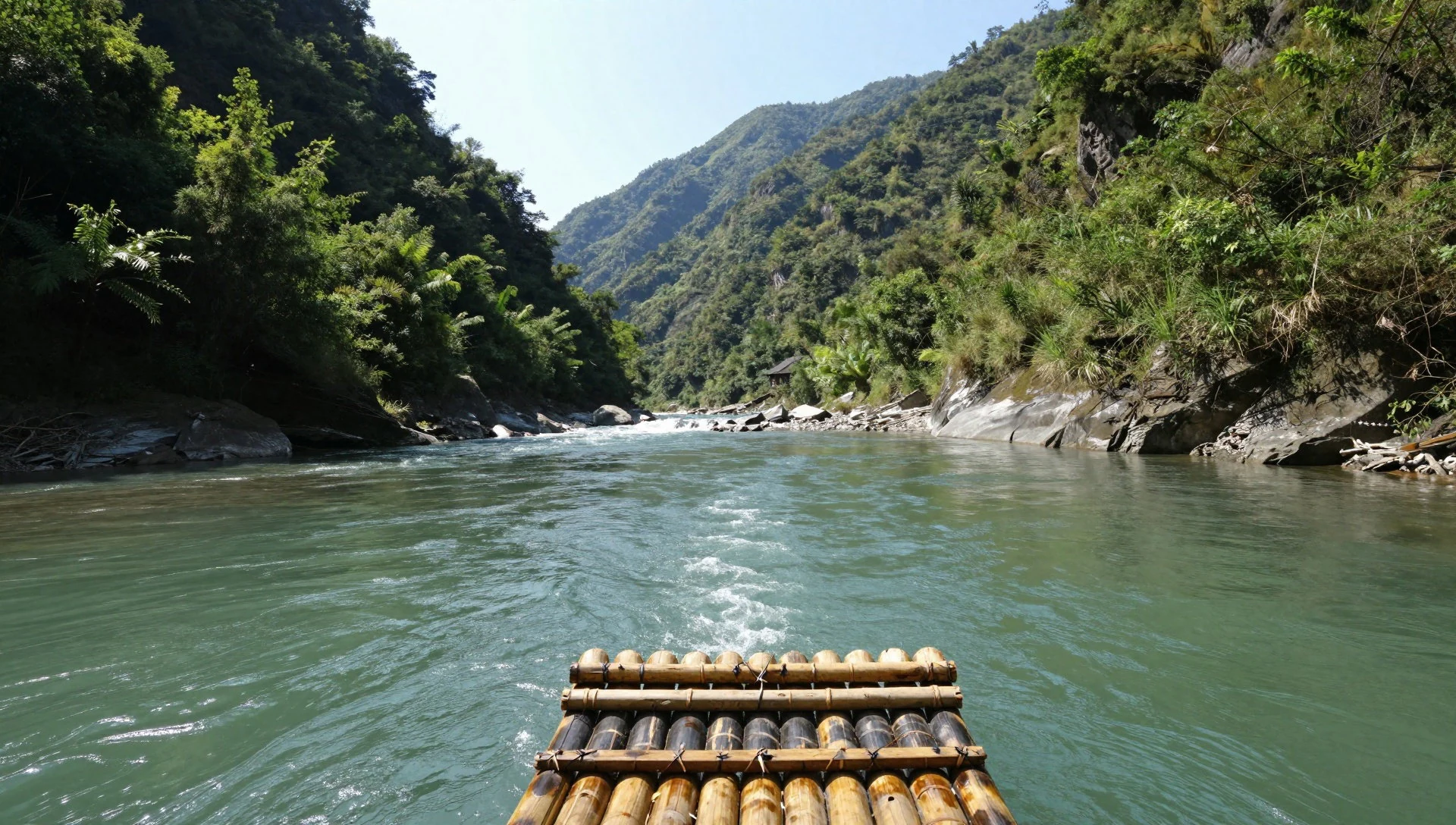
- Water Curtain Cave (Shuilian-dong) — Water Curtain Cave area
A dramatic waterfall viewpoint with a small old shrine set behind it, plus a massive rock face. Expect a walk from the bus stop to the base and then an uphill section to the waterfall itself.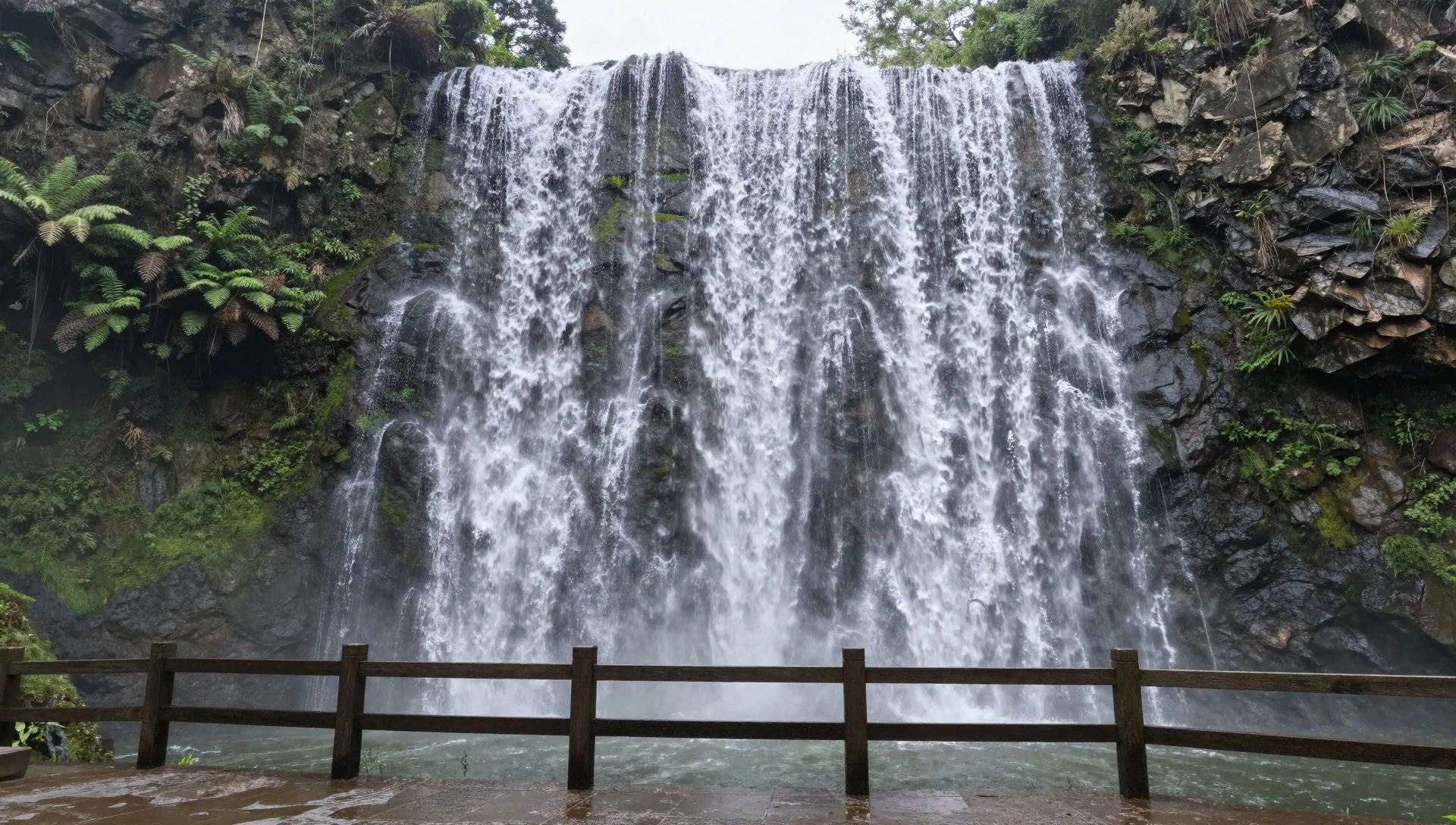
- Eagle Beak Rock (Yingzuiyan) — Between Water Curtain Cave and Da Hong Pao valley
A distinctive rock shape that sits between major stops in the valleys. It’s more of a “see it from the trail and move on” moment than a climbing experience—walking past depends on where you are allowed in the valley routes.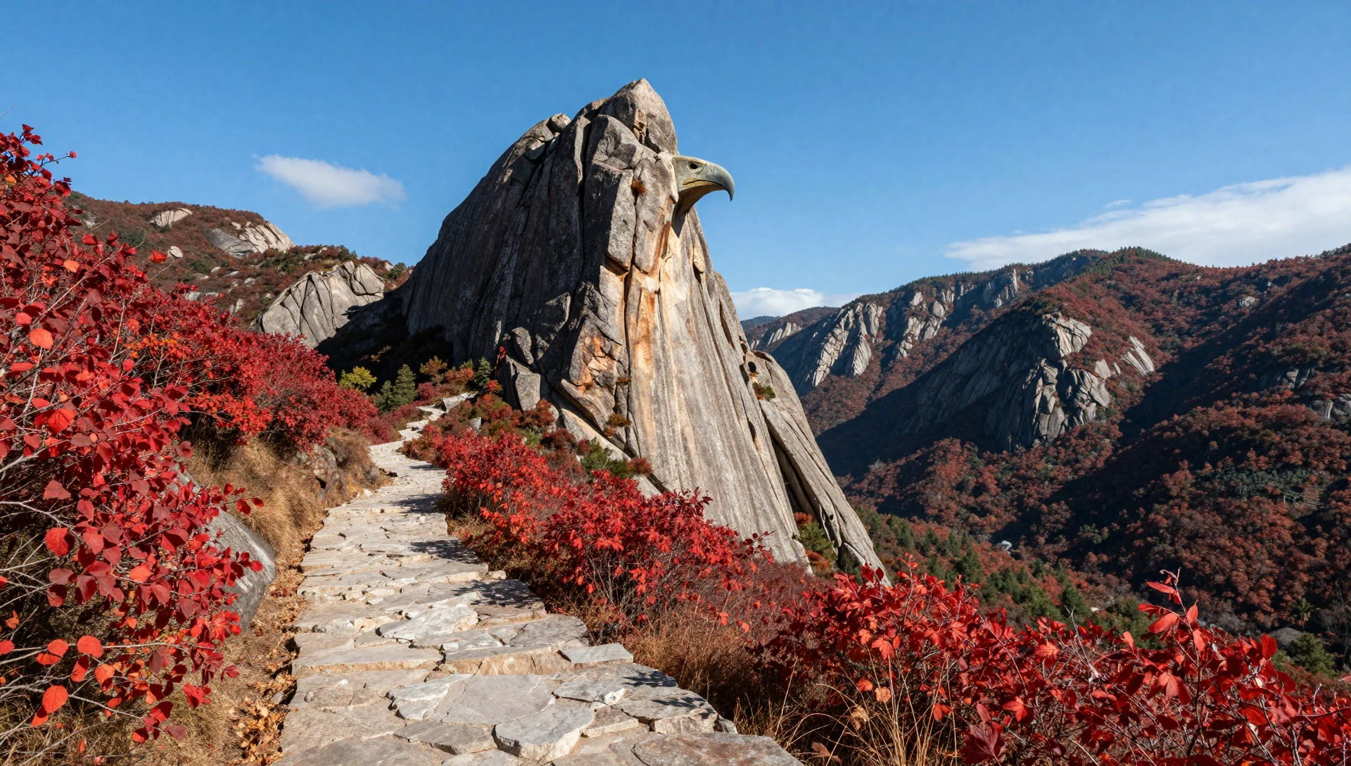
- Ancient Cliff Dwellings — Cliff-dwellings trail area
Ancient wooden structures built into a hard-to-access cliff crack, reached historically by a pulley system. Visitors can typically view them from the trail, while the actual dwellings remain inaccessible from the outside paths.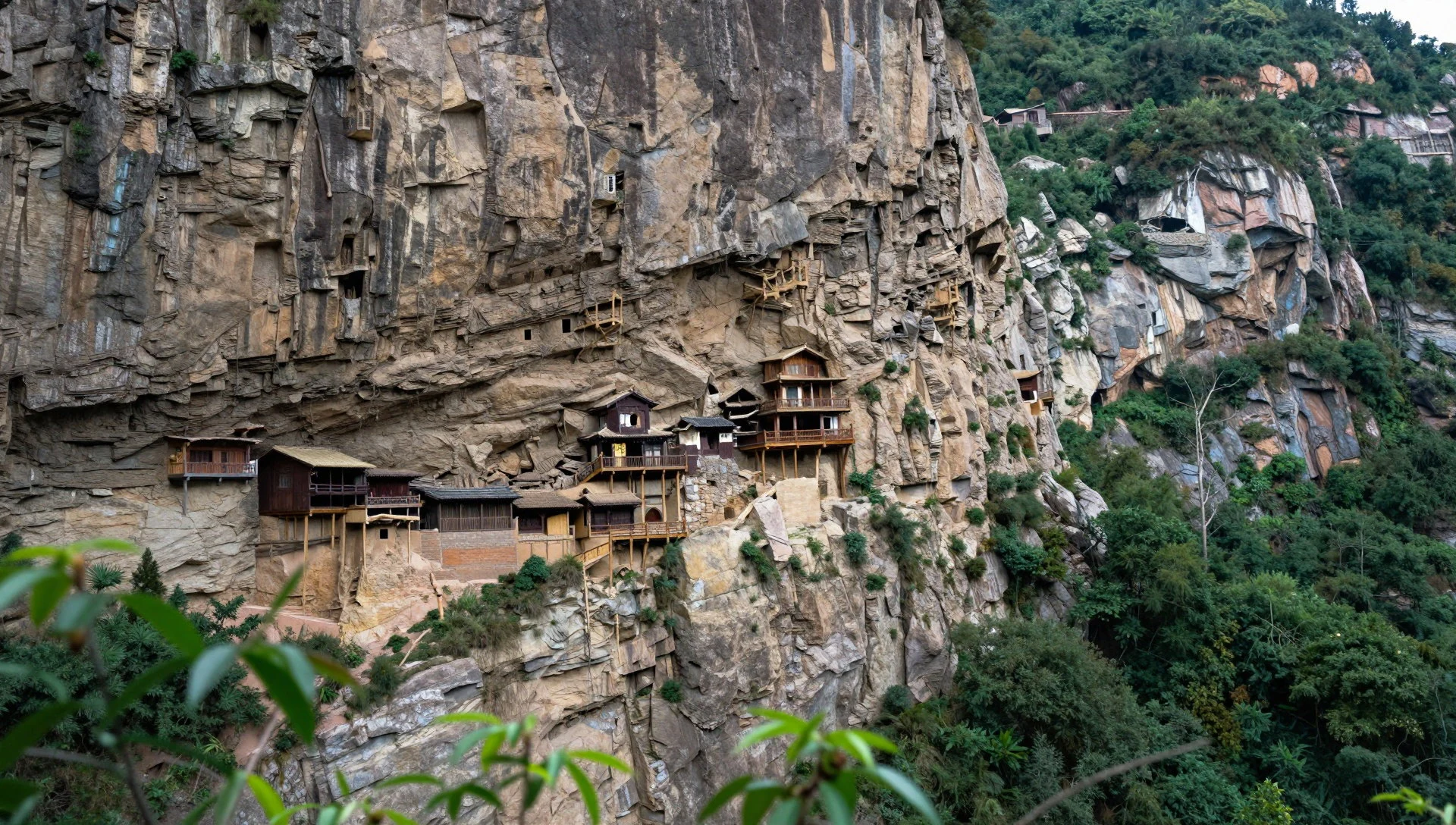
- Da Hong Pao valley — Da Hong Pao valley
The valley associated with Da Hong Pao (Big Red Robe), a tea-producing area that draws both tea lovers and ordinary travellers. It’s often calmer than the most hectic stops and makes a good anchor point for a full day in the park.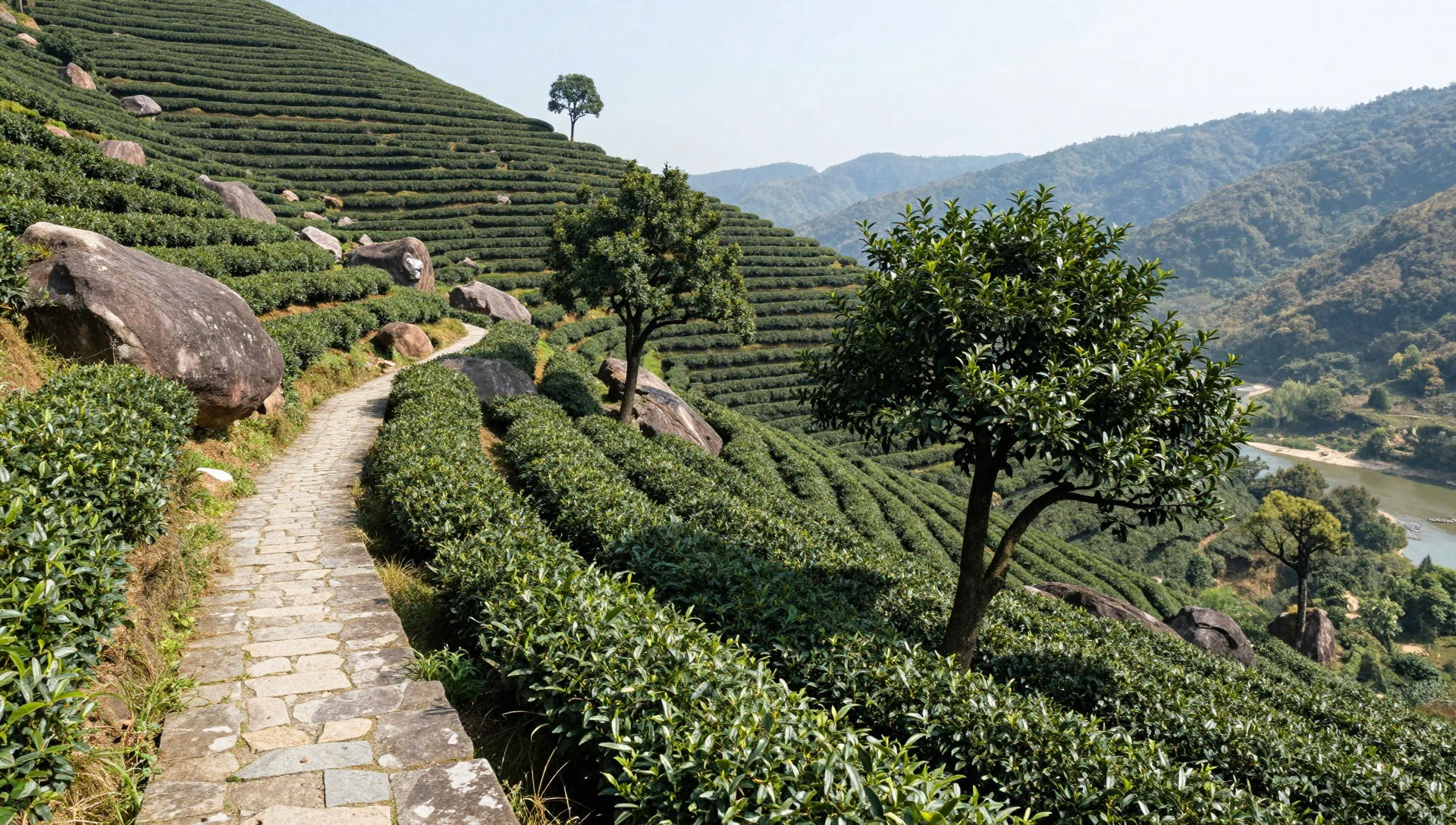
Culture
Wuyi Mountains’ culture is inseparable from tea and from the way people respect the landscape. Da Hong Pao sits at the centre of the region’s tea identity, and you’ll see that influence in the way valleys, visitor routes and rest stops are arranged around tea references. It’s also a place of temples and old sites tucked into the hills—some are dramatic viewpoints, others are more quiet, and a few feel like they exist “between” the main walking corridors.
Because this is both a natural reserve and a heritage area, a lot of the cultural behaviour here is practical: follow marked paths, accept that some “nearby” rocks or cliff sections are not for wandering, and don’t treat restricted areas like shortcuts. Crowds tend to concentrate around the most accessible viewpoints and the popular river-raft starting points, so the cultural vibe can change within a few bends of the itinerary—busy and loud near the entrances, calmer as the valley narrows.
Etiquette-wise, keep your voice steady around temple and shrine areas, and be careful with photography around people who are praying rather than sightseeing—this is one of those places where the atmosphere matters more than the angle of a shot.
What to wear
Traditional clothing in the Wuyi Mountains region is tied more broadly to Fujian cultural styles than to one single “official” outfit for the mountains. When you see traditional dress, it’s usually worn for cultural events or performances, and the textiles can be the point—often structured, richly coloured fabrics that look best in still indoor settings rather than in wet river valleys.
What people actually wear day to day is much more practical: breathable tops, light layers, and comfortable shoes. Walking in Wuyi can involve uneven ground, steps and short uphill segments to viewpoints like waterfalls. Weather can shift quickly with cloud and mist, so a light waterproof layer is sensible even when the morning looks clear.
For visitors, wear sturdy trainers with grip (rafting days can get damp at the edges), bring a thin rain jacket or poncho, and pack a layer for cooler moments near shaded river sections. At temple or shrine stops, modesty helps: cover shoulders and avoid overly revealing outfits, and be ready to adjust if there are modesty cues from the site.
What to eat
- Wuyi tea (oolong/black varieties) — Tea houses and tea stalls around the scenic areas
Wuyi tea is the signature drink, especially oolong and black styles sold under the Wuyi label. Tea shows up in tastings and in everyday café menus, and it’s worth ordering even if the focus is on the mountains.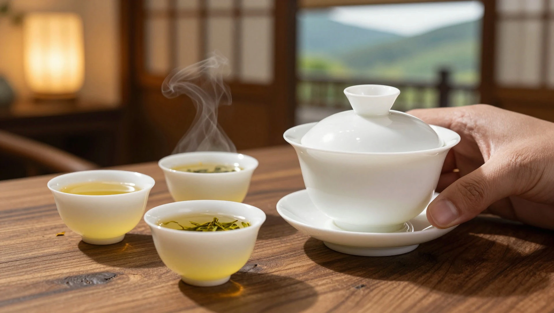
- Lapsang souchong — Tea tastings and tea counters in Wuyishan
Lapsang souchong is one of the black-tea styles associated with Wuyi. It’s often offered as part of tea selections, so ask for it when a menu lists multiple Wuyi teas rather than only one basic pot.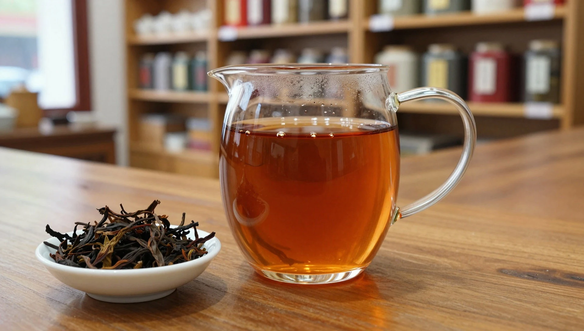
- Tea eggs — Rest stops and snack stalls around Dahongpao valley and the rafting area
Tea eggs are hard-boiled eggs flavoured with tea, usually with a small hole so the taste reaches the white. They’re a cheap snack and can be found at rest stops and around rafting areas—some can be excellent, others merely fine. - Zhou Mapo (simple Sichuan-style comfort food) — Casual local eateries in the Wuyishan area
Zhou Mapo is described as simple but satisfying, with a fast-food feel. Expect rice, fruits and small snacks and drinks as part of the experience, making it a convenient meal when a long walking day leaves little time to hunt. - Yellow wine (Huangjiu) — Local restaurants and drinks counters in Wuyishan town
Local beer and wine are available, but yellow wine (huangjiu) is the one most worth seeking if you’re curious. It’s made from wheat and sticky rice and tends to feel fuller on the palate than light table wines.
Plan it
Best time. March–April for blossom and comfortable walking, and late October–November for clearer, cooler conditions; June is the rainy season and August is hot and humid.
How long. 3–4
Getting there. Fly into a major city and then connect onward by train or road to the Wuyishan area; during peak travel periods, trains to Wuyishan can be harder, so you may route via Nanpingshi Station and then take tram or bus to the scenic area entrance. The tram stop sits directly opposite the main gate of the scenic area.
Budget. mid
Tips
- Start with the river-planning mindset: choose the order that matches where you’ll be happiest getting slightly damp.
- Use early starts to beat the biggest crowd waves at entrances and popular viewpoints.
- When hiking, don’t improvise shortcuts—stick to marked paths and keep a close eye on notices.
- Carry some cash for small purchases and snack-style breaks around the scenic area.
Etiquette
- Don’t hike outside paths; the area has many snakes and there are cliffs.
- Follow temporary closures—an occasional bike race can partially or fully affect park routes and bus service.
- Remember camping isn’t allowed in the park.
Nearby
Sources
- Wikidata Q207692 (CC0)
- Wikipedia (Wuyi Mountains) (CC BY-SA 4.0)
- Wikivoyage (Mount Wuyi) (CC BY-SA 4.0)
- photos/01-wuyi-mountains-sea-of-clouds-4.jpg (CC BY 2.5 cn)
- photos/02-wuyi-yulu.jpg (CC BY 3.0)
- photos/03-wuyishan-naturereserve.jpg (CC BY-SA 2.5)
- photos/04-punting-9bends.jpg (Public domain)
- photos/05-wuyi-shan-fengjing-mingsheng-qu-2012-08-23-17-21-52.jpg (CC BY-SA 2.0)
- photos/06-place-of-worship-for-dahongpao-big-red-robe-tea-2010-09-pano.jpg (CC BY 3.0)
- photos/07-panoramio.jpg (CC BY 3.0)
- photos/08-wuyi-mountains-sea-of-clouds-1.jpg (CC BY 2.5 cn)


