Wood Buffalo National Park
Wood Buffalo National Park, Canada
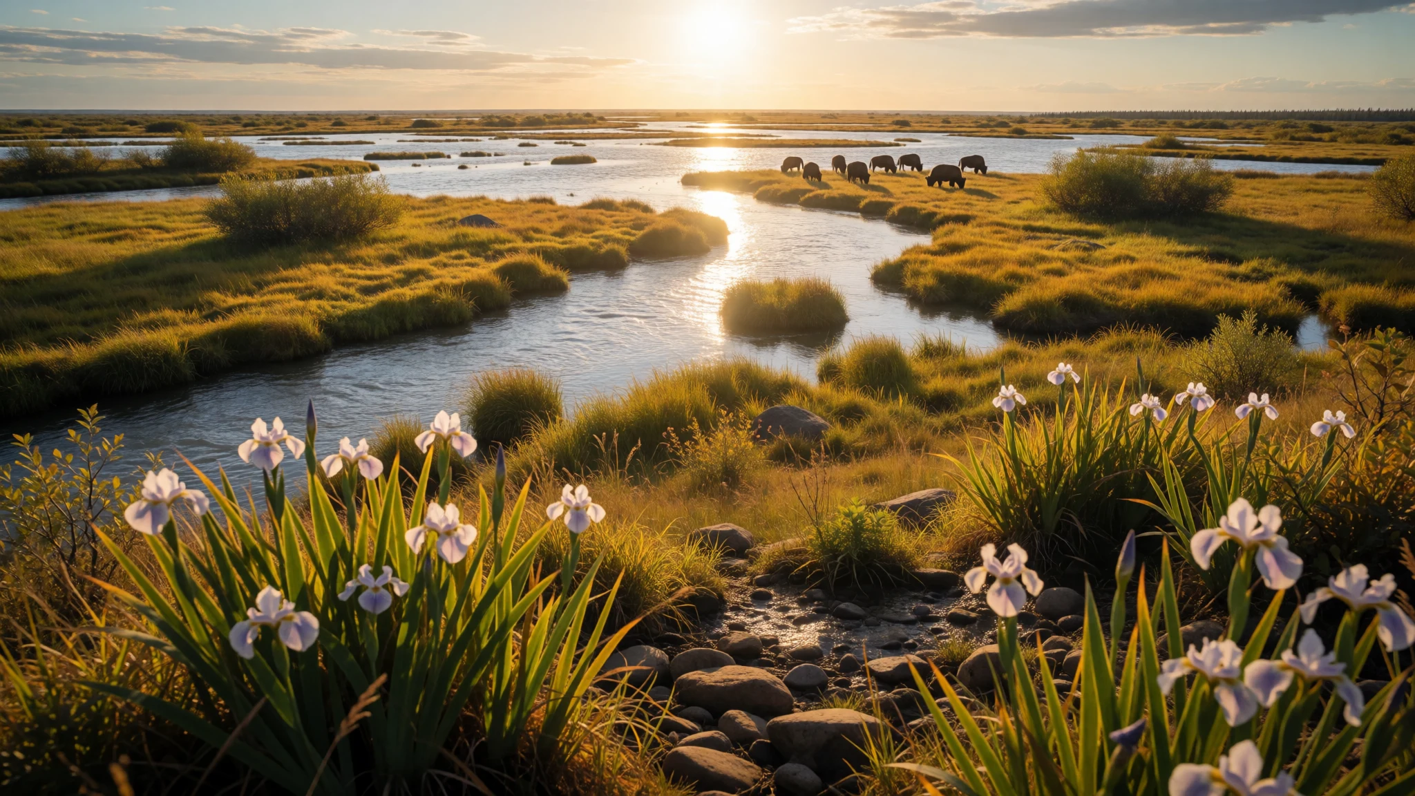
Wood Buffalo National Park is for travellers who want wide northern landscapes, wild bison, and the Peace-Athabasca Delta’s wildlife, in real, quiet space.
The place
Wood Buffalo National Park is a Canadian wilderness shaped by rivers, wetlands and big skies, straddling northeastern Alberta and the southern Northwest Territories. Founded in 1922 to protect the world’s largest free-roaming herd of wood bison, the park still moves at an animal’s pace rather than a visitor’s timetable. The Peace-Athabasca Delta is the star system here: a huge freshwater network formed by the Peace, Athabasca and Birch rivers, where shallow channels, islands and marsh edges give animals plenty of cover and grazing.
The park is enormous and varied in altitude, from low river country to higher ground in the Caribou Mountains. That range matters on the ground: mornings can feel chilly even in summer, while exposed areas can turn windy in shoulder seasons. There’s also limestone country and karst sinkholes in the north-eastern section, plus springs in the Jackfish River drainage.
Logistically, the park is remote. The main office is in Fort Smith with a smaller branch in Fort Chipewyan, and trips typically involve reaching a few entry points before moving slowly by car, boat, or guided tours. Wildlife watching is the main reason people come: in the right season the area supports nesting whooping cranes, and bison remain a highlight.
Crowd levels are generally low compared with bigger parks—part of the appeal—so planning matters more than last-minute decisions.
Its story
Wood Buffalo National Park sits in a region that has been used by human communities since the end of the last ice age. Long before fences or park signs, people were following seasonal patterns of hunting, fishing and gathering, working with the rhythms of the Athabasca, Peace and Slave river routes. These rivers were also practical trade corridors, so the landscape functioned as both home and highway.
In recorded times, several groups—including Dane-zaa (Beaver), Chipewyan, South Slavey (Dene Tha’) and Woods Cree—lived across and around the area. They were part of a broader northern world where language families overlapped and where communities sometimes competed for resources and trade. The languages of the northern Athabaskan speakers and the Dene peoples, alongside Algonquian languages associated with the Cree, reflect that mix.
Disruptions also shaped the human story. After a smallpox epidemic in the late 18th century, peace negotiations were held through ceremonial traditions involving a pipe at Peace Point. That kind of ritual underscores how relationships and survival strategies mattered as much as the land itself.
When the national park idea arrived, it reframed the region around conservation—especially for wood bison. That goal connects back to the earlier relationship between people, animals and water: the same wetlands and river systems that supported communities also supported wildlife, including bison herds and crane nesting areas.
What to see
- Wood buffalo on open tundra-wetland edges — Open areas across the park
Wood Buffalo is, quite simply, about bison sightings: keep scanning the grass and marsh edges at slow pace, especially near water. The animals often look calm and curious from a distance, and early hours usually feel quieter and more photogenic. Expect wind and long light rather than crowds.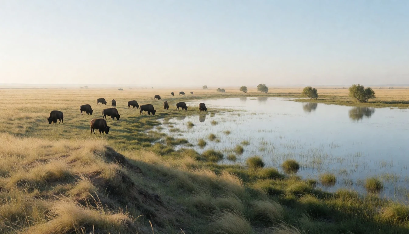
- Gros Beak Lake — Lakes and water margins in the park
Gros Beak Lake works well as a wildlife-and-water stop. The shoreline setting suits short walks and lingering viewpoints, and you’ll often see birds moving between land and channels. Bring patience: in this part of Canada, “the view” is sometimes the waiting.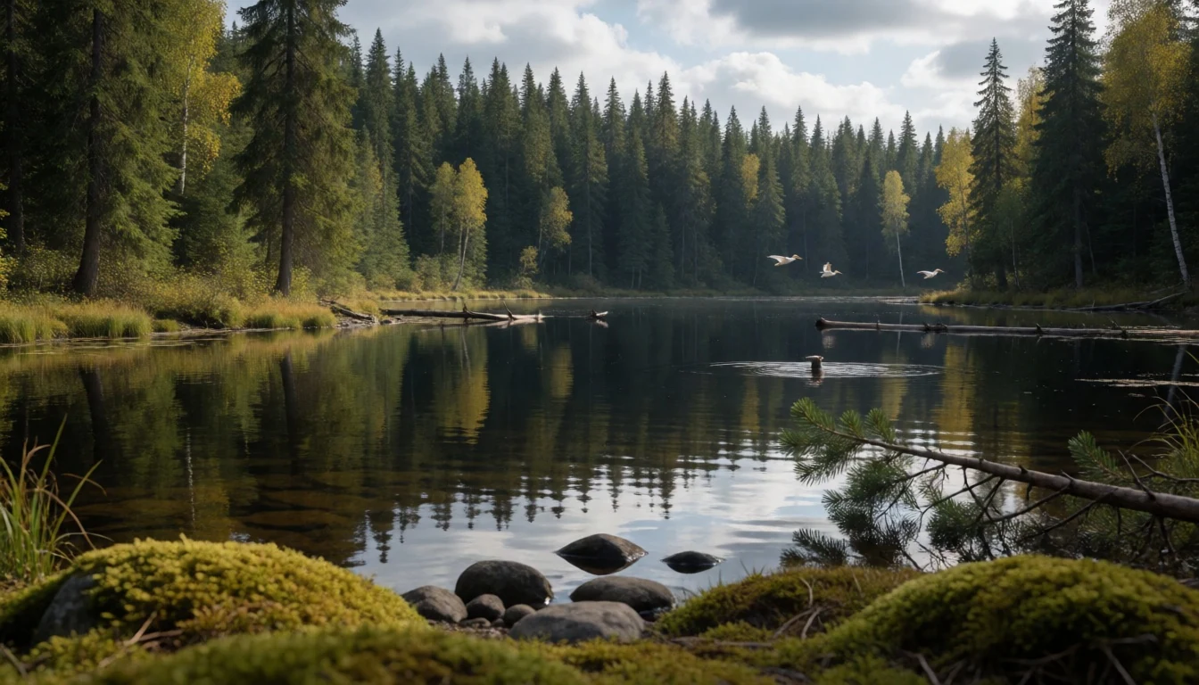
- Beaver’s Lodge — Delta and river country
Beaver’s Lodge is the kind of place where you notice how water shapes everything: dams, channels, and the resulting changes to habitat. It’s a good target if wildlife spotting is the main goal, and it helps you understand why this delta system matters to both birds and mammals.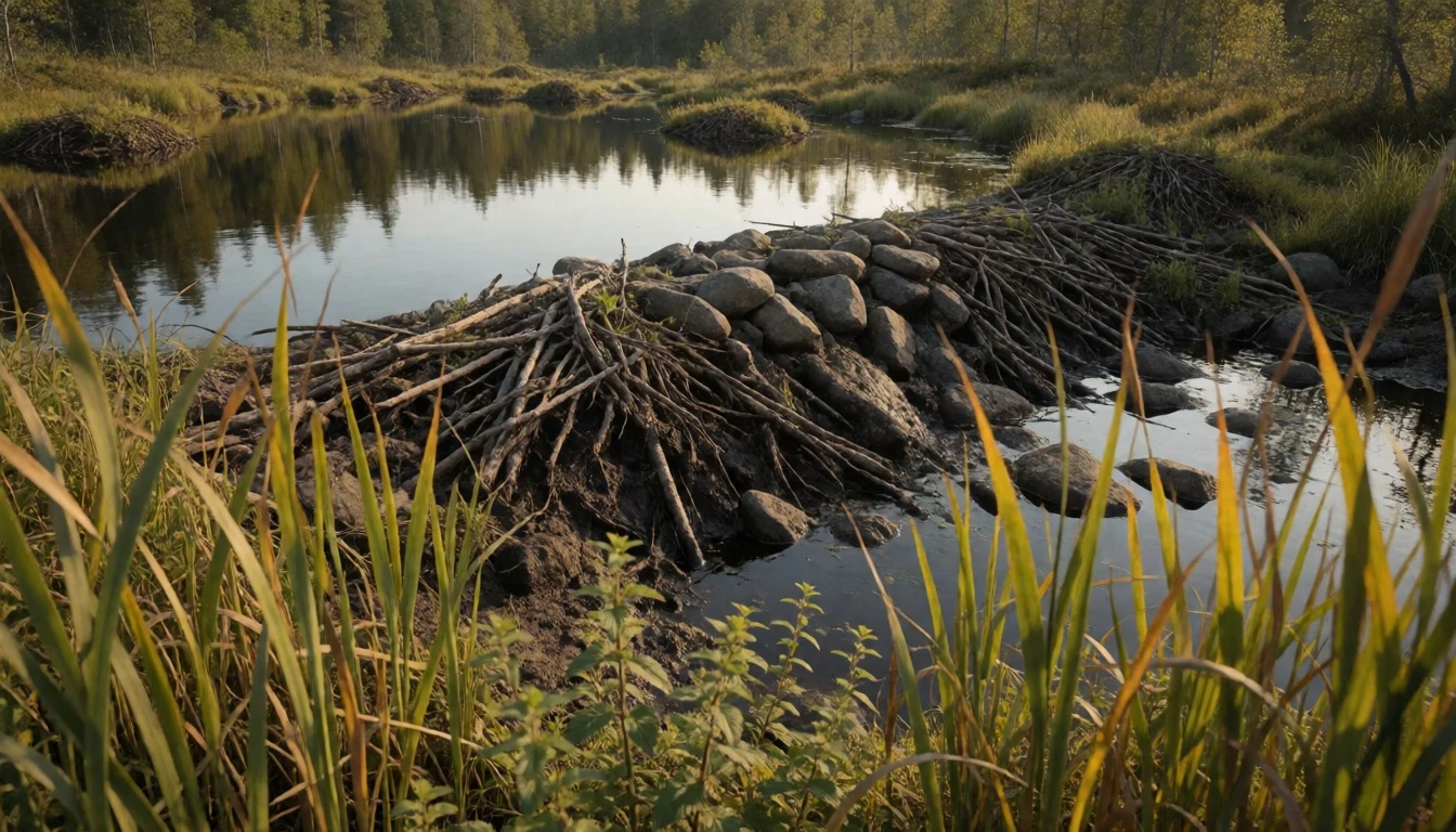
- Salt Plains area (viewpoints and trails) — Salt Plains near day-use access
The Salt Plains area is a practical way to experience the park’s open, trackable landscapes. The viewpoint and nearby trails are set up for spending time watching the flats. It’s especially useful for spotting cranes and other birds when conditions align.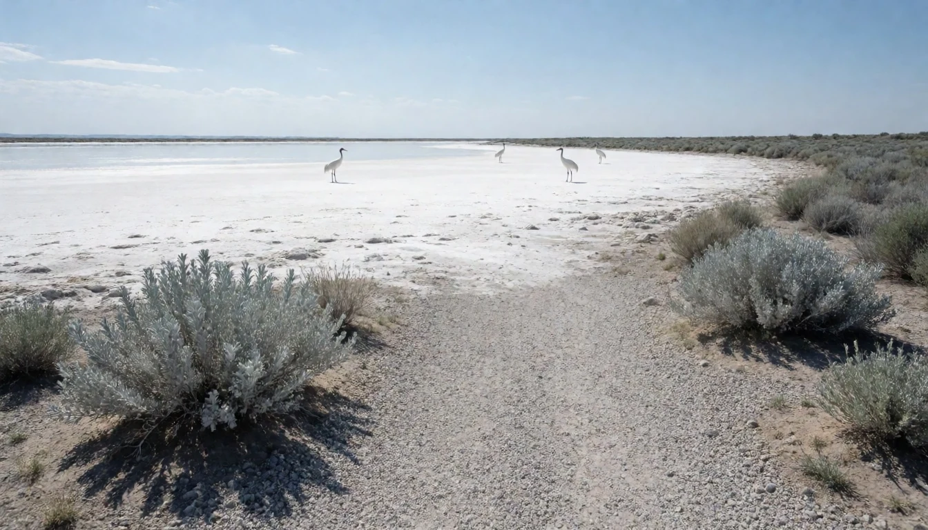
- Pine Lake area — Pine Lake Road area
Pine Lake is both a destination and a base feeling. The access area supports easier exploring, while the wider surrounding landscape rewards longer time outside. In summer it can feel like a calm pocket in a big park—ideal for slow hikes and wildlife scanning.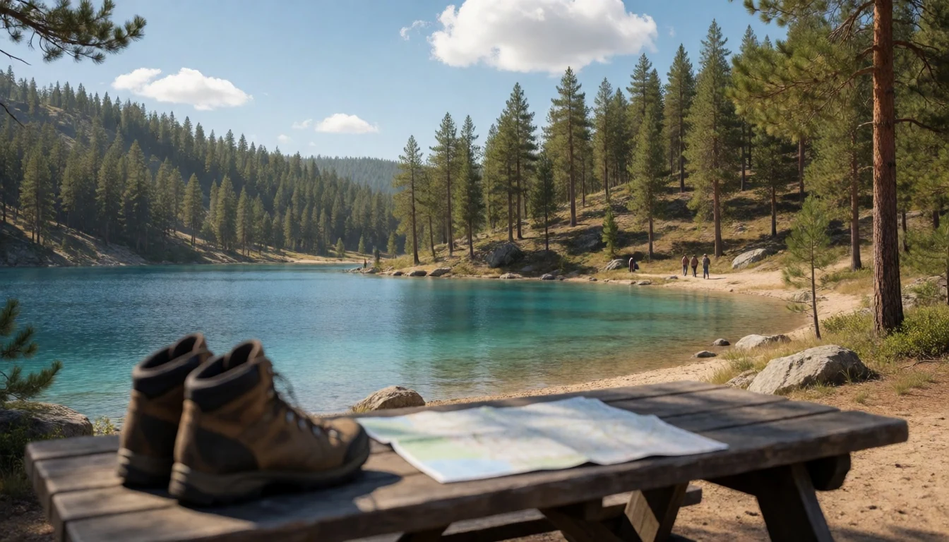
- Fort Smith waterside look-outs — Fort Smith and the surrounding river corridor
Fort Smith is where many visits logistically start, and the waterside surroundings give a sense of the river system before you head further in. It’s a good place to walk, stretch, and reset before day trips—especially when weather changes quickly and you want to be ready.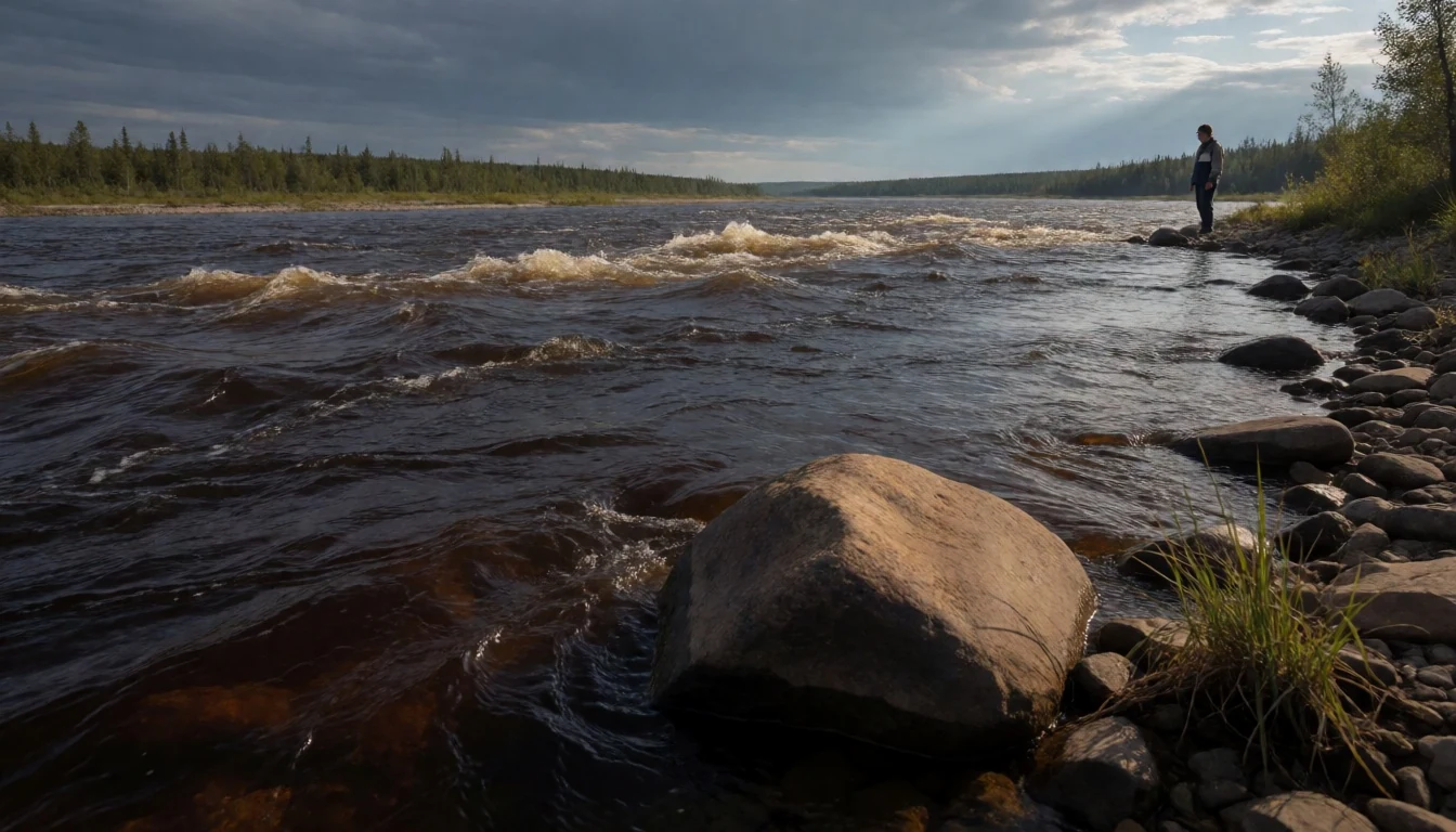
Culture
Wood Buffalo National Park is a protected space layered over older routes of life. The region has been inhabited for millennia, with Indigenous communities shaping seasonal movement around hunting, fishing and gathering, and using the Athabasca, Peace and Slave rivers as trade corridors. Park rules and conservation efforts sit alongside that living history, and the delta’s health directly affects the animals and the wider ecosystem that communities rely on.
Because the park is remote, “culture” here often means how people behave when they’re guests in a place that doesn’t make things easy. Respect the land and wildlife first: keep distance, stay on marked paths where provided, and don’t interfere with animals or nests. If guided programmes are running, follow the briefing closely—those schedules exist for safety and for protecting sensitive areas.
It’s also worth remembering that monitoring and land-use concerns have been part of the park’s modern story, so local voices and official guidance matter. If you’re visiting in a way that includes water travel or camping, take your cues from park staff and keep the backcountry clean and quiet.
Visitor etiquette: keep your distance from wildlife and follow park staff instructions, especially around crane nesting areas.
What to wear
Wood Buffalo National Park sits in a cold, northern climate with very short summers and long winters. That changes what “right clothes” means. Traditional dress in the region varies by community rather than a single park-style outfit, but for visitors the key lesson is the same: be ready for serious weather and cover thoughtfully.
In summer, people typically wear practical layers—t-shirts or long-sleeve tops under light waterproofs or windbreakers, plus hiking trousers or shorts with quick-dry fabric—because days can still turn cool and wet. Comfortable footwear matters more than anything decorative: sturdy trainers or hiking boots for uneven, muddy ground.
For winter or shoulder-season visits, plan for heavy insulation: warm base layers, a proper winter jacket, gloves, a hat and thick socks are essential, especially in the coldest months. In areas where you might meet cultural sites or follow guided walks, keep clothing neat and modest, and avoid anything that draws attention to people or wildlife.
For photographers, bring extra layers for camera handling in wind—metal parts get cold fast. The park’s distances make comfort count: if clothing limits movement, it limits the day.
What to eat
- Picnic supplies at Salt Plains Viewpoint and Day-use Area — Salt Plains Viewpoint and Day-use Area access from Highway 5
For food in the park, picnic-style meals are the norm. Salt Plains Viewpoint and Day-use Area is one access point from Highway 5, with picnic grounds nearby. Stock up before you go, then eat where the land is calm and winds allow.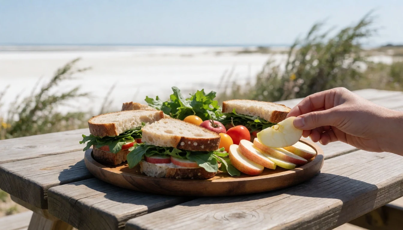
- Picnic grounds near the park entrance (Angus Fire Tower and Day-use Area) — Angus Fire Tower and Day-use Area near the entrance off Highway 5
Angus Fire Tower and Day-use Area near the entrance off Highway 5 has picnic grounds, which makes it a convenient place to stop without committing to long drives. It’s the sort of spot for simple sandwiches, warm drinks and a slow break in the open air.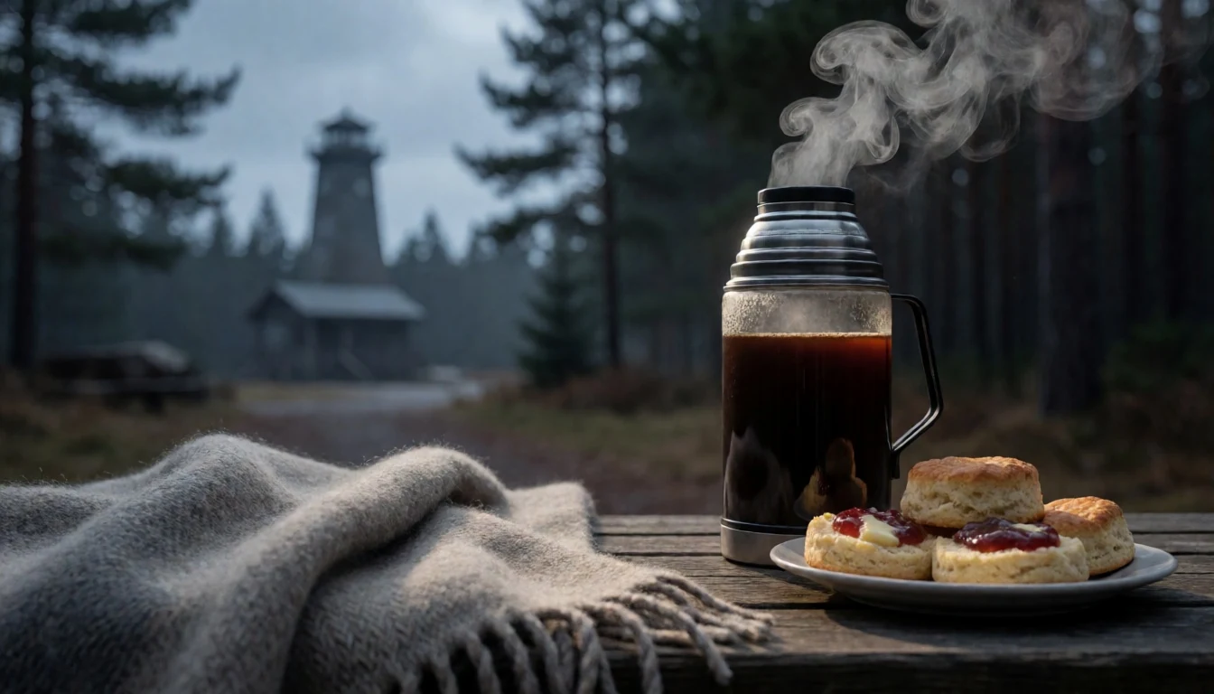
- Picnic at Salt River Day-use Area on Pine Lake Road — Salt River Day-use Area on Pine Lake Road
Salt River Day-use Area on Pine Lake Road is another place for a picnic reset. It’s useful when you’re basing yourself around Pine Lake and want an easy, in-between meal stop. Keep it simple and bring extra water for warm days. - Backcountry camp meals from Rainbow Lakes Backcountry Campsite — Rainbow Lakes Backcountry Campsite (beside a sinkhole lake, 6 km hike from Pine Lake Road)
Rainbow Lakes Backcountry Campsite is reached by a hike from Pine Lake Road and includes basic facilities like an outhouse and bear cache. Backcountry food is practical—things that keep, reheat quickly, and travel well—so you’re not faffing when daylight is short.
Plan it
Best time. June to August is the core season for access and activities, when temperatures are at their warmest and the days are long (July and August are the warmest, and rainfall is heaviest in June and July). October is a good shoulder for cooler, drier weather, but expect the first snow may start happening in that month.
How long. 3–4
Getting there. By road, travel from Hay River through the park to Fort Smith (about a three-and-a-half-hour journey). By plane, flights connect Edmonton and Fort Smith (weekly service). In summer, river travel can run from Fort Chipewyan to Fort Smith via the Slave River, with rapids blocking further north.
Budget. mid
Tips
- Plan around the very short summer windows and long daylight, with earlier starts for wildlife watching
- If driving, check the latest road conditions for the remote access routes before you commit
- Pack for wind and temperature swings even in warm months; bring more layers than seems necessary
- If joining guided activities, arrive at the Visitor’s Centre in time for registration and briefing
Etiquette
- Keep distance from wildlife and avoid lingering close to sensitive nesting areas
- Follow instructions from park staff about where you can walk, paddle or camp
- Keep noise down in the evening—this is a place for animals and dark-sky skies
Nearby
Sources
- Wikidata Q391338 (CC0)
- Wikipedia (rev 1367956672) (CC BY-SA 4.0)
- Wikivoyage (rev 5389381) (CC BY-SA 4.0)
- Photo photos/01-wood-buffalo-np-waldbison-98-07-02.jpg (CC BY-SA 2.5)
- Photo photos/02-wood-buffalo-np-gros-beak-lake-2-98-07-02.jpg (CC BY-SA 2.5)
- Photo photos/03-wood-buffalo-np-waldbison-3-98-07-02.jpg (CC BY-SA 2.5)
- Photo photos/04-wood-buffalo-np-murmeltier-2-98-07-03.jpg (CC BY-SA 2.5)
- Photo photos/05-fort-smith-nashornpelikane-1-98-07-01.jpg (CC BY-SA 2.5)
- Photo photos/06-wood-buffalo-np-beaver-s-lodge-1-98-07-02.jpg (CC BY-SA 2.5)
- Photo photos/07-wood-buffalo-np-pine-lake-98-07-03.jpg (CC BY-SA 2.5)
- Photo photos/08-fort-smith-nashornpelikane-1-98-07-01-cropped.jpg (CC BY-SA 2.5)


