West Bali National Park
West Bali National Park, Indonesia
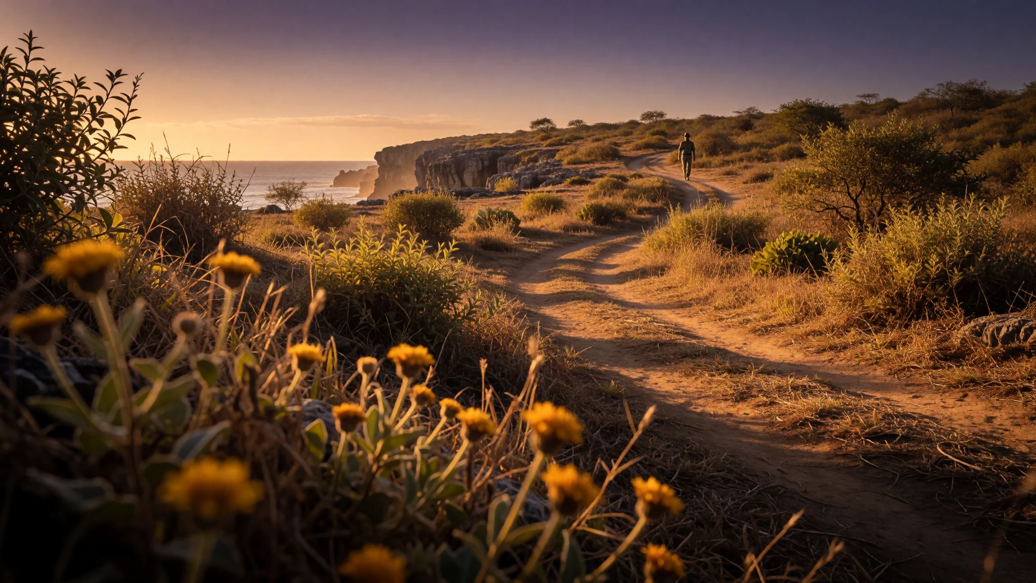
West Bali National Park gives a quieter, drier Bali: savanna trails, mangrove creeks and reef diving off Menjangan Island, far from the southern crowds.
The place
West Bali National Park (Taman Nasional Bali Barat) fills the far western tip of Bali and straddles the Buleleng and Jembrana regencies. It protects just over 190 square kilometres, roughly four-fifths of it land and the rest coastal sea. That is a small slice of the island, yet it holds a very different Bali from the rice terraces and temple towns of the south: dry monsoon forest, open savanna on the foothills, mangrove creeks and reef-fringed water. The park is not one solid block. The Prapat Agung peninsula juts north-west and is cut off from the main section by the coastal road, which mostly runs outside the boundary. Gilimanuk, the ferry port for Ketapang in East Java, lies to the west, with the villages of Pejarakan and Pahlenkong to the east. On a clear day the volcanoes of East Java stand out across the strait. Three approaches are used: the north coast road from Lovina, Pemuteran and Banjuwedang; the road from the south into Gilimanuk; and the ferry from Java. The headquarters is at Cekik, just south of Gilimanuk. A second office at Labuhan Lalang on the north coast is where boats leave for Menjangan Island, and the main ranger station sits at Sumber Klampok between the two. Inside the boundary there is one high-end resort on the peninsula and almost nothing else: no shops, no drinks, no water for sale. That shapes the visit. This is a place for walkers, birdwatchers, snorkellers and divers who plan ahead, and the facts record a point in the park at 178 metres above sea level, so the terrain is gentle hills rather than high mountain.
Its story
The protection of West Bali began in 1941, when a large area of the island's west was set aside mainly for the Bali tiger. The gesture came too late: by then the last of those tigers had already been killed, and the subspecies is gone. In 1985 the boundary was redrawn to the roughly 190 square kilometres that exist today, and the land that was cut out was kept as a separate protected reserve. Wikidata records 1995 for the park's status as a national park of Indonesia, so dates differ depending on which stage of protection is counted. A national regulation of 1994 changed how the park could be used. It allowed private tourism companies to operate inside designated utilisation zones, provided they involved people from neighbouring villages in the business. The idea was to give local families an income that does not depend on cutting the forest or harvesting the sea. That is why a single resort sits on the Prapat Agung peninsula and why guides, boatmen and hawkers cluster around the park offices and the Labuhan Lalang jetty. There has also been talk of turning part or all of the park into a UNESCO biosphere reserve, a status that lets residents keep their traditional ties to the land. The argument behind it is that protected areas work better when they are not islands cut off from the people living around them. For a visitor today, the story is visible in the way ranger posts, village stalls and conservation rules sit side by side.
What to see
- Menjangan Island — Labuhan Lalang, north coast
Menjangan Island lies just off the north coast and is reached by boat from the Labuhan Lalang office. Snorkellers and divers come for the clear water and the reef wall close to shore. The sand-to-deep-water colour change is striking from the boat. Choose a certified, insured dive operator, as the area has some careless ones.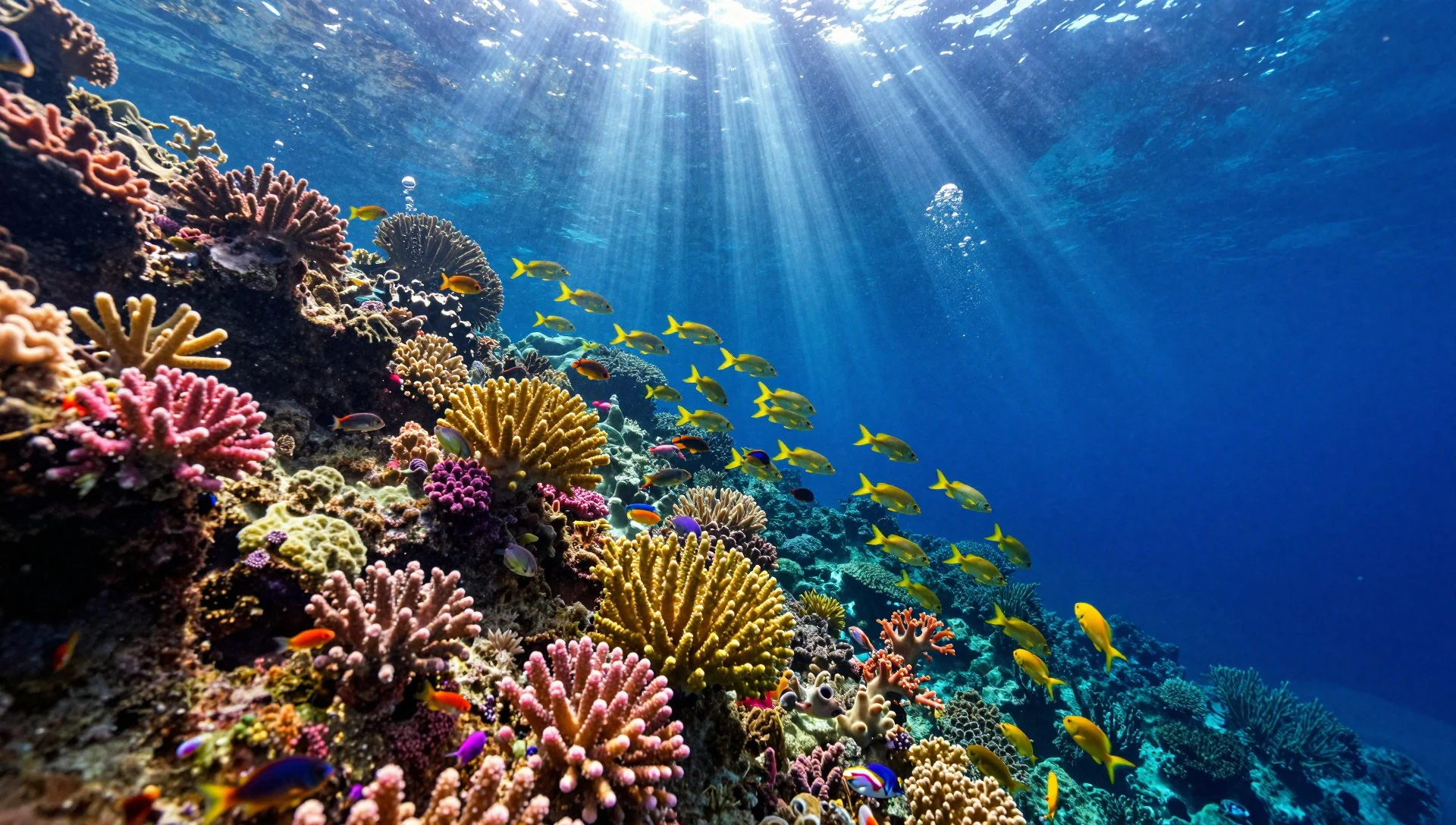
- Mangrove boat trip — Prapat Agung coast
Guides run trips through the mangroves in a traditional fishing boat, usually two to three hours. The channels are quiet and shaded, and the sightings are small and close: fishing storks, fish, sea urchins, starfish and tiny crabs among the roots. Ask at the official tourism posts, and agree the arrangements before you set off.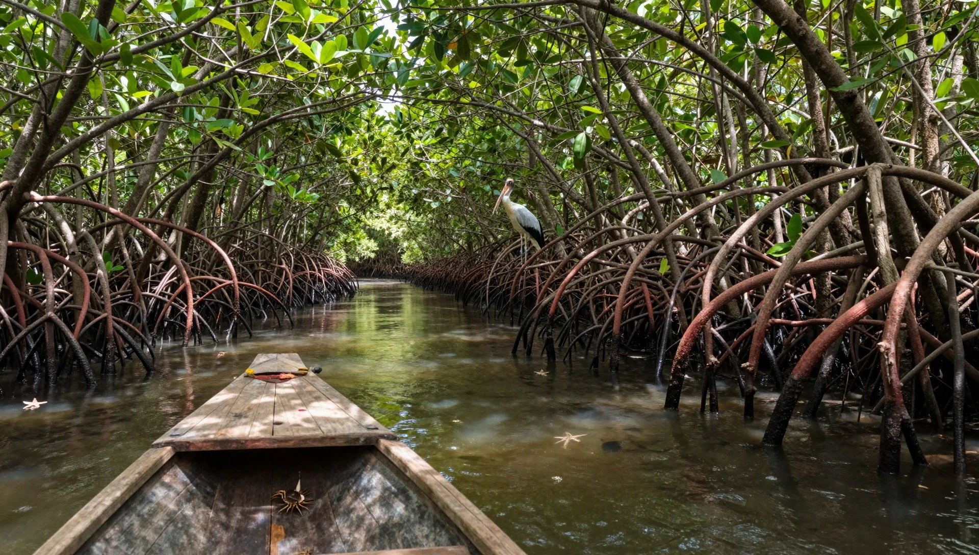
- Tegal Blunder Trail — Sumber Klampok
The Tegal Blunder Trail is the easy choice, a walk of about two hours that birdwatchers like best. It starts from the ranger checkpoint at Sumber Klampok, roughly 20 minutes west of Cekik. Early morning gives the best chance of birds and cooler air, and a park-approved guide is expected for official trails.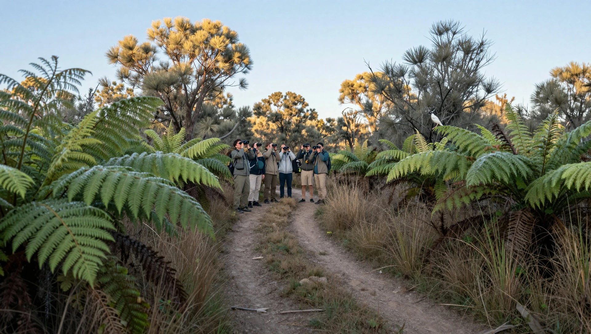
- Gunung Klatakan Trail — Sumber Klampok, south-east
The Gunung Klatakan Trail starts from the same checkpoint and heads south-east. It is a tougher walk of about five hours through rainforest that feels far removed from the beach resorts. Carry more water than seems sensible, wear proper footwear, and ask the guides whether any longer routes into the Prapat Agung peninsula are open.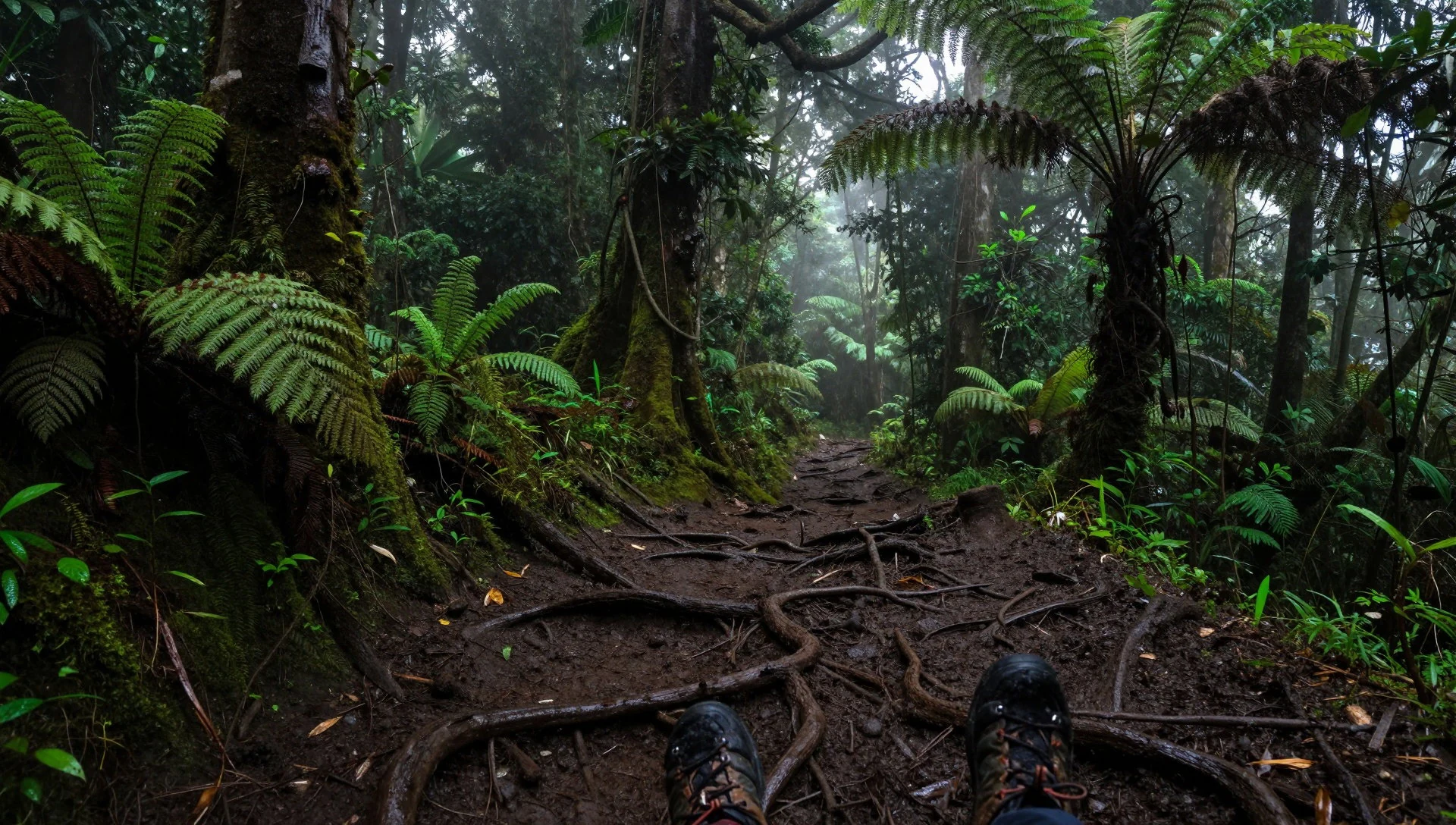
- Savanna foothills — Foothills, western section
On the foothills the forest gives way to open dry savanna, where wind sweeps across the grass and the light is wide and flat. Wildlife that suits drier country lives here. The views west toward the mountains of East Java are good, and the shadeless slopes are best walked early or late.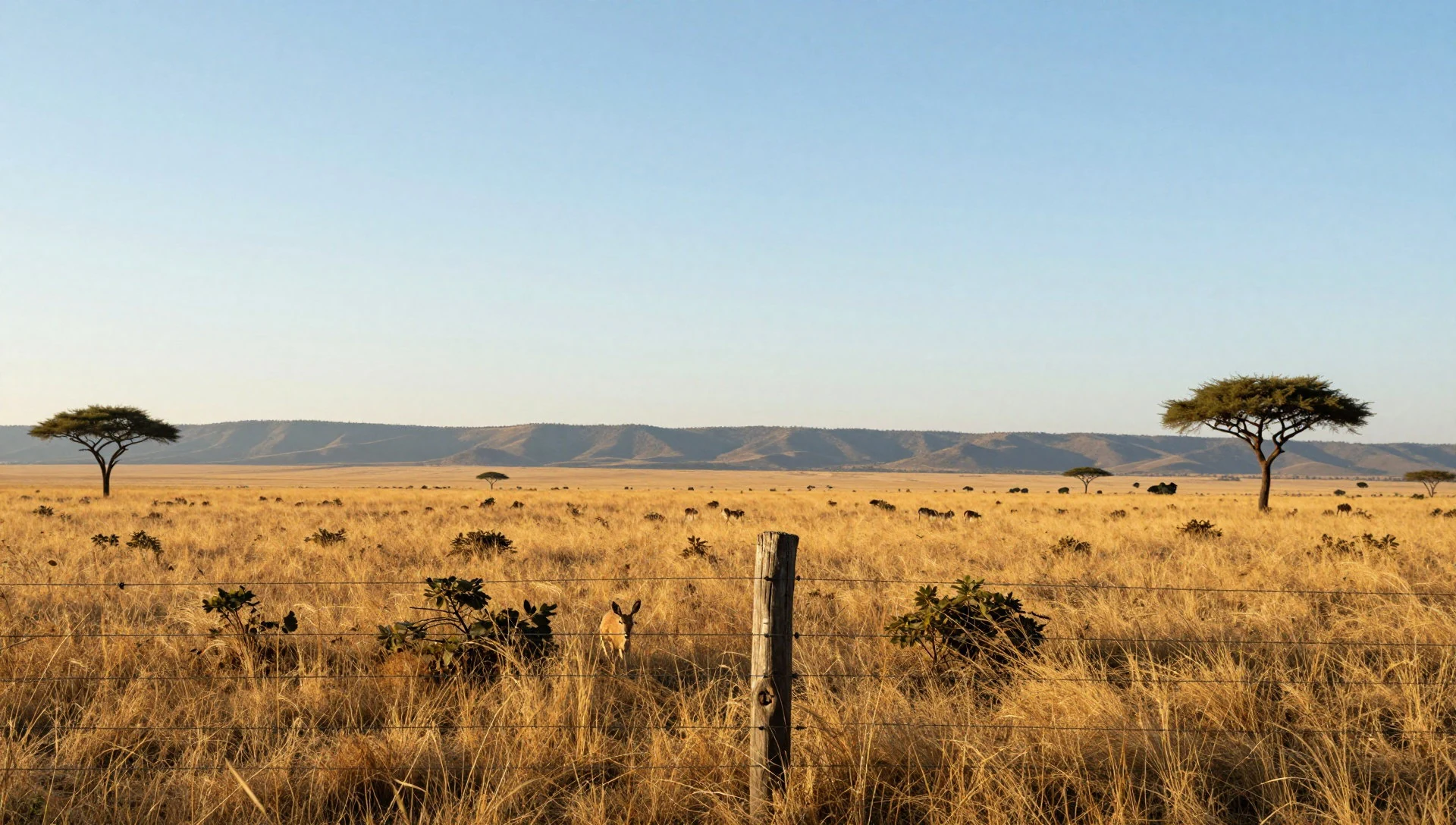
Culture
West Bali National Park sits in a part of Bali where Balinese Hindu life continues in the villages around it, though the park itself is better known for its wildlife than its temples. Gilimanuk is the gateway between Bali and Java, so the area mixes Balinese and Javanese communities, and the ferry crossing is part of daily life for traders, lorry drivers and families. Small offerings of flowers, rice and incense appear at doorways, shrines and roadside corners each morning, and are left on the ground or at altars as part of daily devotion. Many people living near the boundary earn their living from the park economy as guides, boatmen, stallholders and ranger staff, which fits the policy of involving local communities in tourism. The park staff are welcoming and glad to arrange guided visits, and the guide system matters as a source of local income as well as a safety measure. Conservation is part of the culture here too: the lost Bali tiger is a reminder of what can disappear, and the rules on trails and reefs exist to prevent more loss. Talking with a guide over the walk, about birds, plants and village life, is often the most rewarding cultural experience the park offers. Register at a park office, hire a licensed guide for the official trails rather than slipping in alone, and step around the small offerings on the ground instead of over them.
What to wear
West Bali National Park lies in Balinese Hindu country, where traditional dress is mostly kept for temple ceremonies and festivals. Women wear a kebaya, a fitted lace or cotton blouse, over a wrapped kamen cloth with a sash at the waist. Men wear a kamen or sarong with a udeng, a folded headcloth, and a light jacket or shirt. The cloths are often woven in endek, a Balinese ikat where the threads are dyed before weaving, or in songket, with gold or silver thread brocade for grander occasions. Everyday clothing now is far simpler. In the villages and ferry towns people wear cotton T-shirts, shorts or long trousers, and sandals. Rangers and guides wear uniform shirts and sturdy boots. For a visit, plan around heat, sun and rough ground. Light, breathable long sleeves and long trousers protect against sun and scratchy grass on the savanna. Wear a hat, closed shoes or trail shoes with grip for the forest paths, and sandals or water shoes for boat landings. Bring swimwear for snorkelling and a rash vest if your skin burns easily. The park is not a temple site, but if you visit a village temple on the way, carry a sarong and sash to cover your legs and waist, and dress modestly in towns away from the beaches.
What to eat
- Nasi campur — Eateries in Gilimanuk and around Cekik
Nasi campur is a plate of rice with small helpings of vegetables, spiced meat or fish, and a fiery sambal. It is everyday Balinese eating. Look for it in small eateries in Gilimanuk town and around Cekik, where the lunch trays are laid out for workers.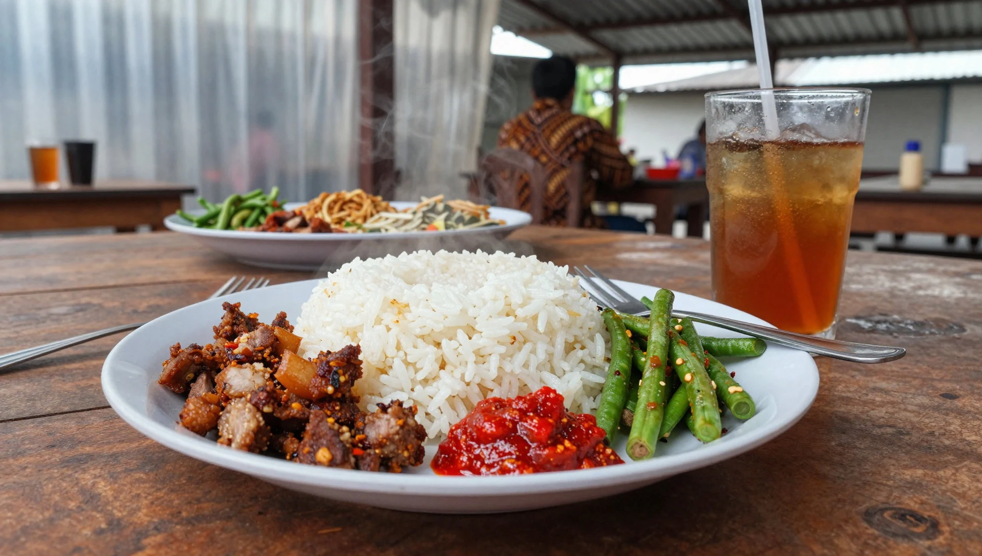
- Ikan bakar — Seafront eateries near Gilimanuk
Ikan bakar is fish grilled over coconut husk or charcoal, usually served with rice, sambal and a squeeze of lime. It suits a coast where boats land the catch daily. Try it from the simple seafront places and hawker stands near the ferry port.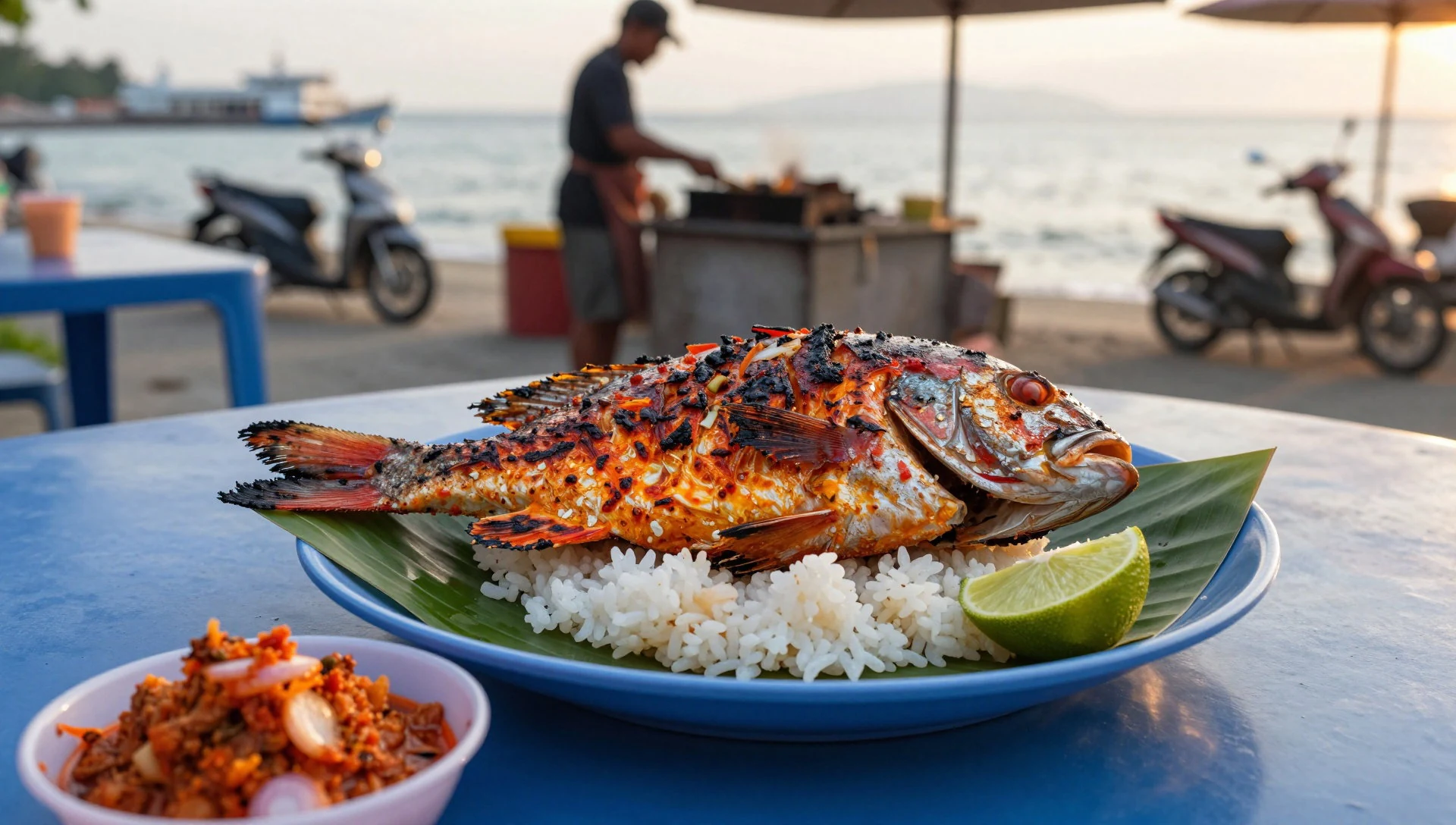
- Sate lilit — Hawker stalls at Labuhan Lalang
Sate lilit is minced fish or meat mixed with grated coconut and spices, then wrapped around a lemongrass stick or bamboo and grilled. The smoky, citrus-scented skewers are a good snack before or after a walk. Hawker stalls on the north coast road sell them. - Es kelapa muda — Roadside stalls near the park offices
Es kelapa muda is young coconut water with soft scraped flesh, often served over ice, and a welcome drink after a hot trail. Remember that nothing is sold inside the park, so buy it at the stalls outside before you enter. - Pisang goreng — Hawker stands around the park offices
Pisang goreng is banana fried in a light batter until golden, sold warm in paper cones. It is a cheap, filling snack to carry on a boat trip or a short walk. Stalls selling it appear around the jetty and the park headquarters.
Plan it
Best time. The drier months, roughly May to September, are the most comfortable for trails and for clear water around Menjangan Island. The wet season brings heavy showers, muddier tracks and rougher seas, so check conditions before booking boats.
How long. 1–2
Getting there. The usual airport is Ngurah Rai International Airport near Denpasar in the south, then a long road journey to the north-west. From the north, the park is about 15 minutes from Pemuteran and about 90 minutes from Lovina. From the south, Gilimanuk is about 15 minutes from the park headquarters at Cekik. From East Java, take the ferry from Ketapang to Gilimanuk.
Budget. mid
Tips
- Check in at a park office (Cekik or Labuhan Lalang) to arrange permits and a guide before any trail walk.
- Bring all the food and water you need, as nothing is sold inside the park.
- Start walks early to avoid the midday heat, and wear a hat and sun protection.
- Use a certified, insured dive operator for Menjangan, and base yourself in Gilimanuk, Pemuteran or Lovina as there is one resort inside the park.
- Check the park office for current rules, camping at the Cekik headquarters, and trail conditions.
Etiquette
- Walk with a licensed guide on official trails and respect the boundaries.
- Take all rubbish out with you and do not touch or stand on coral.
- Step around small daily offerings of flowers and rice in villages.
Nearby
Sources
- Wikidata Q1381311 (CC0)
- Wikipedia: West Bali National Park (rev 1362947813) (CC BY-SA 4.0)
- Wikivoyage: West Bali National Park (rev 5388422) (CC BY-SA 4.0)
- Ron, Bali Barat NP 2009 (CC BY-SA 2.0)
- FannyRizkiani 1234, Taman Nasional Bali Barat 2019 (CC BY 4.0)
- Burmesedays, West Bali National Park Map (CC BY 3.0)
- Annisa F, Pulau Menjangan (CC BY-SA 4.0)
- Divergent43, Beach to sea gradation, West Bali National Park (CC BY-SA 4.0)
- Ron, Bali Barat mangroves (CC BY-SA 2.0)
- Ni Nyoman Ira Santi Wedari, View of foothills savanna of West Bali National Park (CC BY-SA 4.0)
- Ni Nyoman Ira Santi Wedari, Bukit Savana (CC BY-SA 4.0)


