Wadi Mujib
Wadi Mujib, Jordan
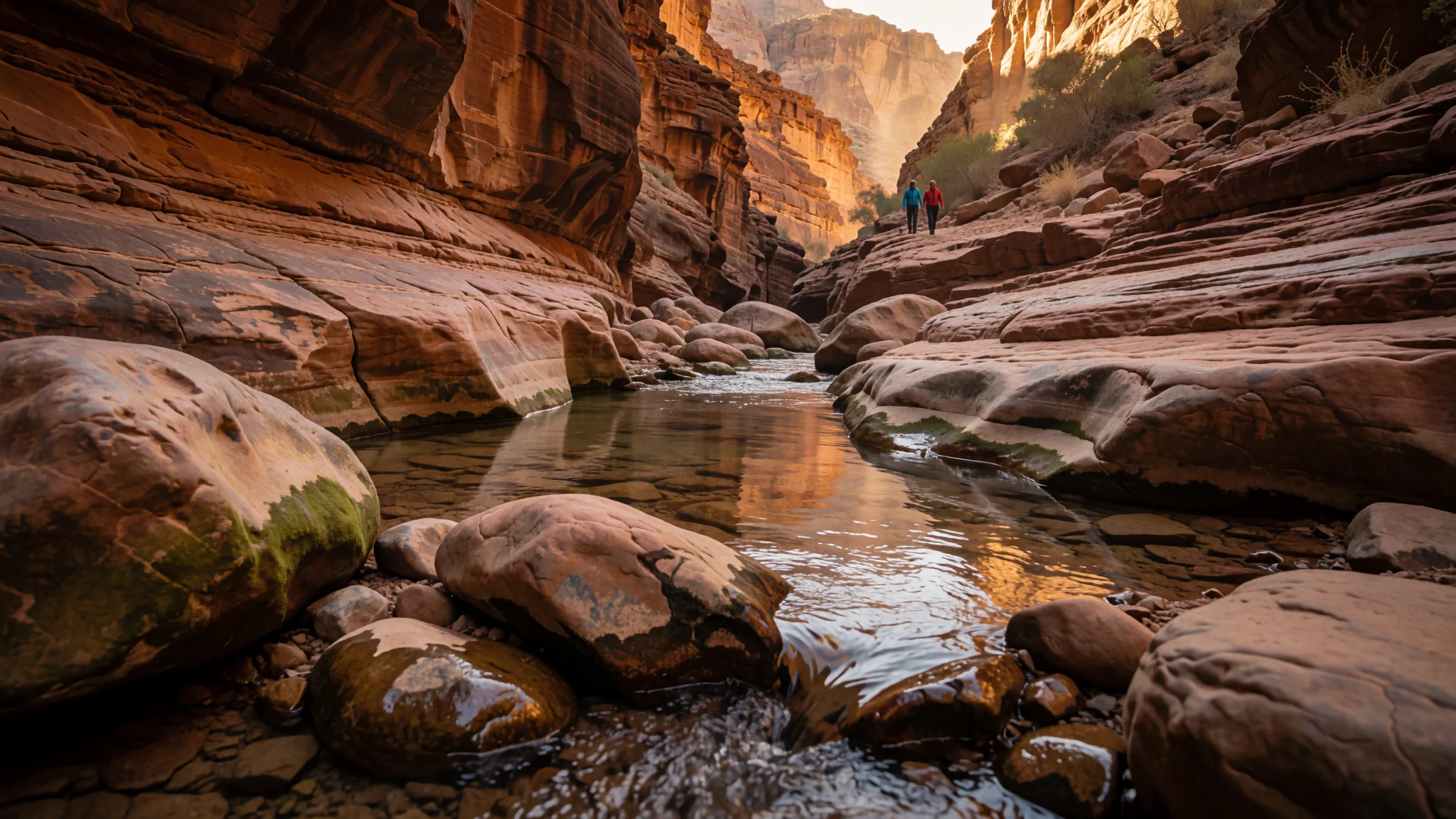
A river canyon east of the Dead Sea where sandstone walls, a protected reserve and a shallow stream make for one of Jordan's most memorable walks.
The place
Wadi Mujib is a river canyon in Jordan, cut into the mountains east of the Dead Sea and roughly 90 km south of Amman. The river runs westward and ends in the Dead Sea, which lies about 420 metres below sea level, so the lower reaches of the gorge sit far beneath the sea level most visitors are used to. Seven tributaries feed the main channel, and together they gather water from a broad basin of rock, scrub and bare ridges. The western part of the wadi is protected as the Mujib Biosphere Reserve. Its walls are largely sandstone, and the sides rise steeply enough that the canyon floor stays shaded for parts of the day. Walking routes follow the stream bed over pools, boulders and short drops, and some stretches are better done with a guide. The reserve as a whole was set up in 1987 by the Royal Society for the Conservation of Nature, and it supports a range of birds that makes it important well beyond Jordan. Its upper edges climb onto the Kerak and Madaba mountains, offering a second view of the gorge from the rim. A dam built across the lower wadi in 2004 holds back a large lake, so the valley looks very different near the road than it does further up the canyon.
Its story
The wadi was known in the Bible as the Arnon, and for much of its history it has marked a frontier. In ancient times the river separated Moab from its northern neighbours, and Moabite towns such as Aroer and Dibon lay on both sides of it. Biblical texts disagree about who held the land beyond the river. One account has it passing from Moabite hands to the Amorite king Sihon before Israelite settlement, while another describes it as Ammonite territory taken from Sihon. Scholars tend to read these passages as a record of shifting claims rather than a fixed line. The river's fords and heights appear in later writings, and ruins of bridges, forts and buildings still stand along its course, showing how much it mattered for travel and defence. The Mesha inscription, left by a Moabite king, claims he built a road along the river. Geology shaped the gorge much later. When the Dead Sea stood far higher during the last ice age, lake water filled the lower canyons, and as the lake fell the wadi broke through a narrow cleft in the sandstone and cut steadily deeper. In the first century CE the area entered the story of the Jewish revolt. The wadi has been proposed as the site of the Forest of Jardes, which the historian Josephus mentions. In 71 CE, a Roman commander hunted down rebel groups in the district after the fall of Jerusalem, and in Roman times a garrisoned fort known as Apud Arnona stood near the point where the road crossed the river.
What to see
- The lower canyon walk — The wadi floor, starting from the activity centre
Most visitors start from the activity centre beside the road and walk down into the canyon along the stream. The early section is the most straightforward, with water running shallow between smooth rock and sand. Expect to wade through pools and scramble over boulders, and wear footwear with proper grip, because the rock is slippery when wet. Keep an eye on the weather, since flash floods are a real risk in narrow gorges.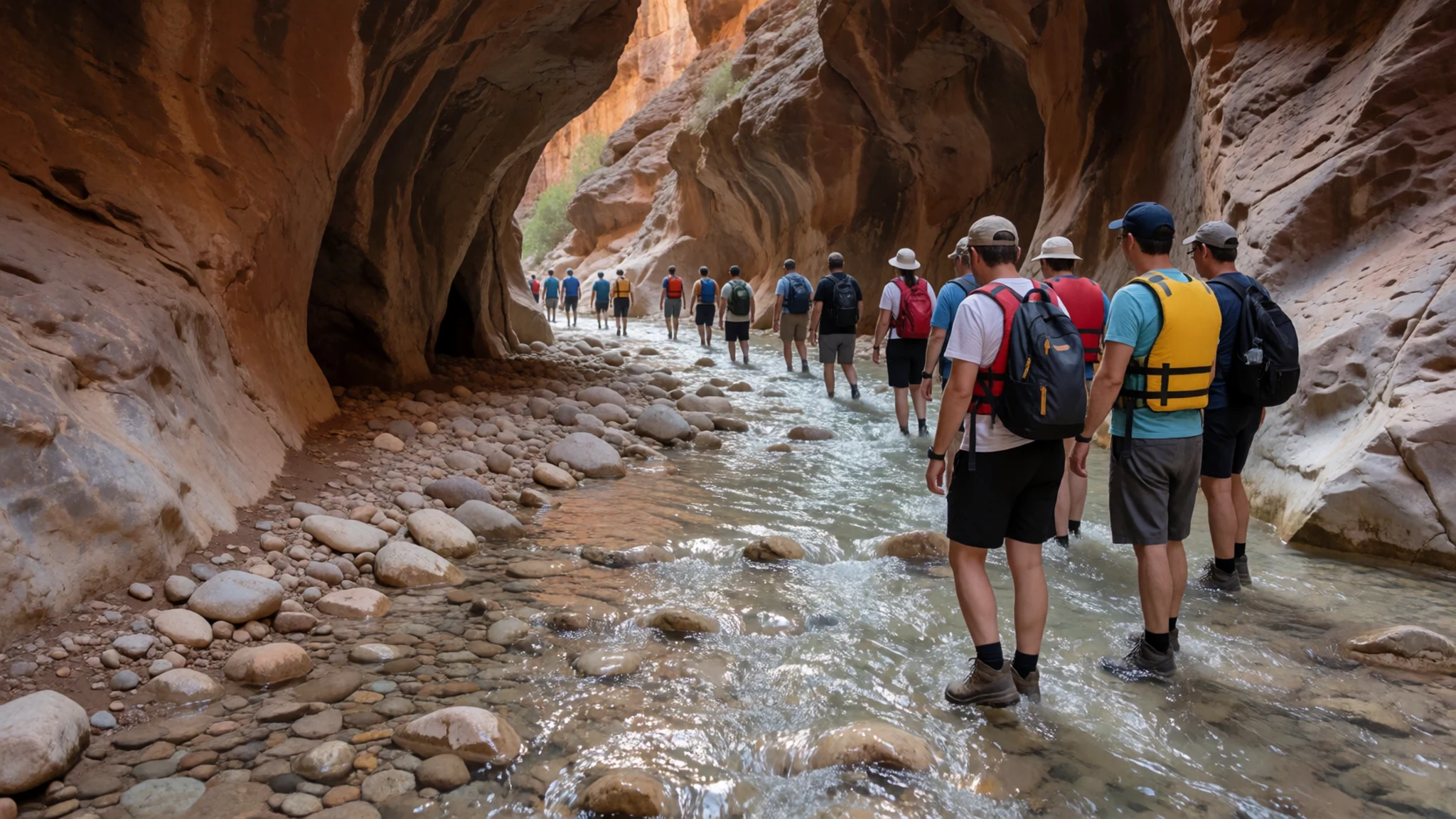
- The Malaqi trail viewpoint — The Malaqi trail, on the upper side of the canyon
The Malaqi trail climbs out of the canyon and gives a view back over the valley where the wadi begins to open out. From the upper section the walls are easier to read: layers of rock, side channels cutting in from the tributaries, and the stream threading through a narrow floor far below. It is a good place to pause before the descent, and in the morning light the far wall shows its colours clearly.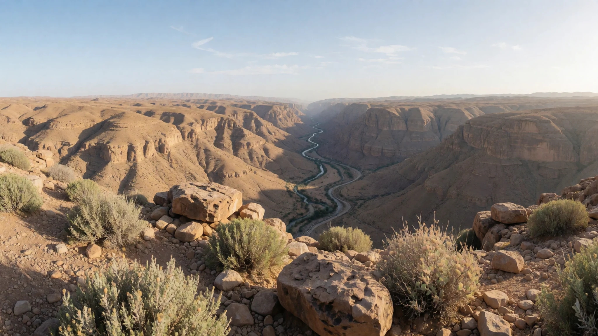
- The Dead Sea shore — The lower valley, at the public beach south of the activity centre
Where the wadi meets the Dead Sea, the land flattens and the gorge gives way to the lake. The shoreline is the lowest point of the valley, well below the level of most of the country. A free public beach sits a short walk south of the activity centre, and the water there is salty enough to float in easily. Bring water and a towel, because shade is limited along the shore.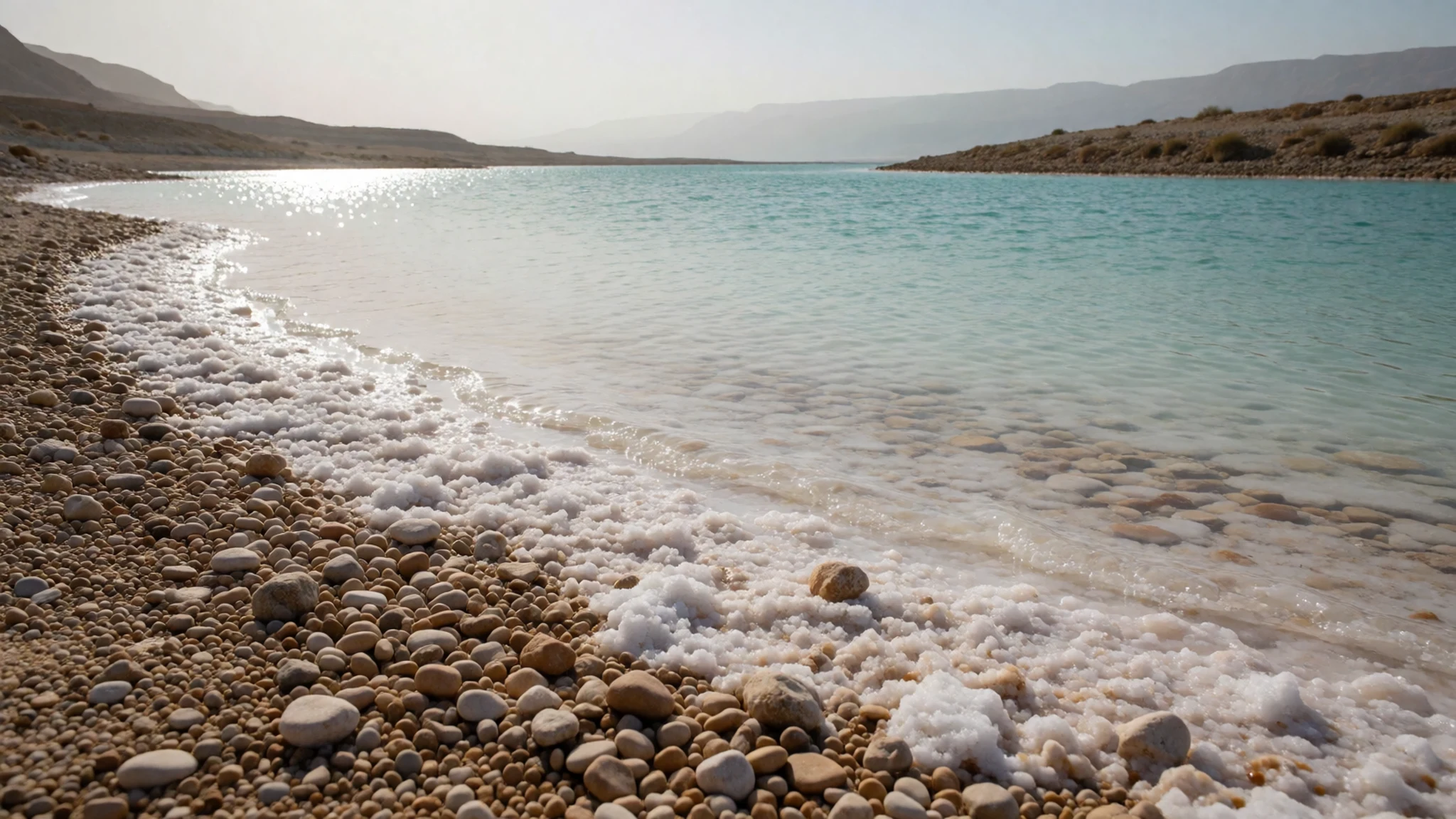
- The panorama above the gorge — The rim of the Mujib Reserve, above the main gorge
The rim of the reserve offers the widest view of the wadi, with the gorge cut deep into the plateau and the Dead Sea visible beyond. Photographs from here show how the side valleys join the main channel. Late afternoon gives the best light on the walls. The viewpoint is exposed, so wear a hat and carry water up with you, and allow time to walk back before dark.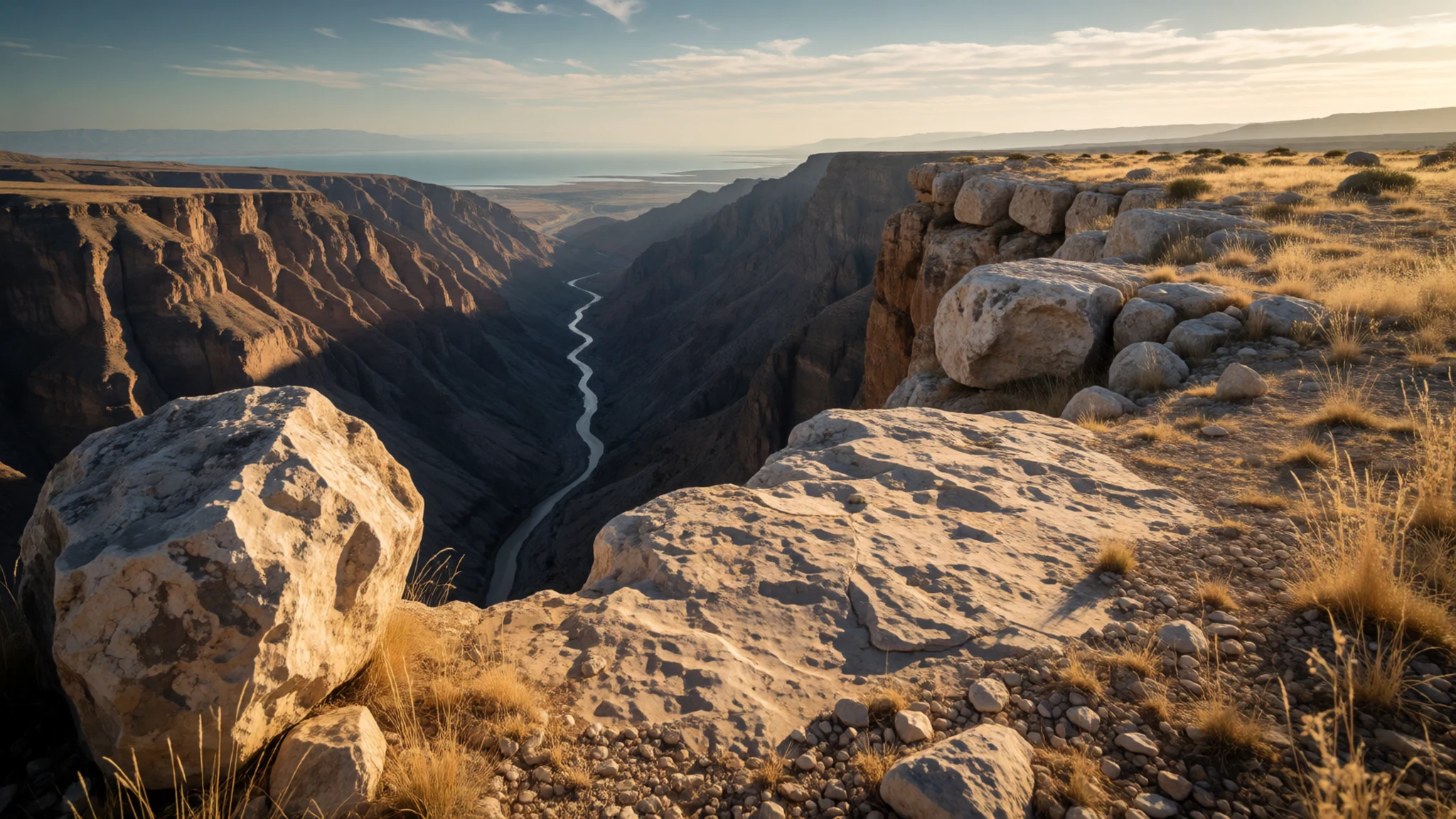
- The dam and the lake — The bottom of the wadi, beside the modern road
The Mujib Dam was completed in 2004 across the lower wadi, where the modern road crosses the river. It has created a large lake that changes the valley's character near the road, turning what was once a flowing channel into still water held back behind a wall. The site makes a useful stop for a short look on the way back to the road, though it is not a place to linger for long.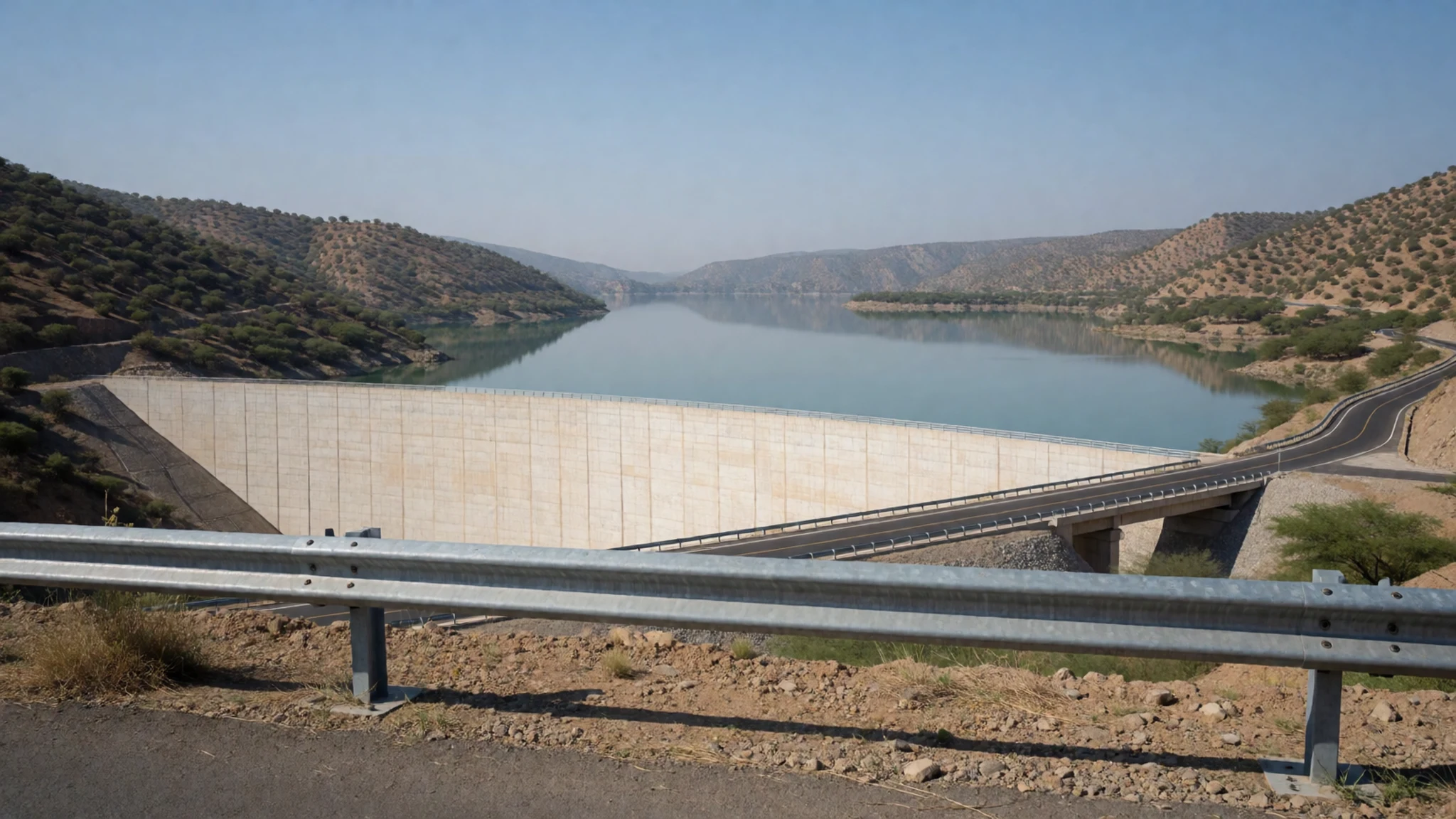
Culture
Hospitality is well known across Jordan, and Bedouin tradition is built around offering guests tea and coffee. Visitors who are invited to sit and share a drink are welcome to accept, and it is polite to take the first cup and wait to be offered a second. Much of the wadi lies inside a protected reserve, so the rules here concern the landscape as much as manners. Keep to marked paths, do not take stones or plants, and avoid lighting fires. Dress modestly in towns and villages, where shoulders and knees are normally covered, and expect some people to be curious about foreign visitors. Photographing people is a sensitive matter, so ask first and accept a refusal gracefully. Carry out everything you bring in, including food scraps and tissues, and never leave litter on the rocks or in the stream.
What to wear
Wadi Mujib sits in a region where traditional dress has long combined practicality with modesty. Traditional men's clothing in Jordan is the long, loose thobe, often in white or cream cotton, worn with a checked headcloth called a ghutra held in place by a black cord, the agal. Women's dress in rural communities includes long embroidered dresses, with cross-stitch patterns known as tatreez, and Bedouin families historically wove black goat-hair cloth for tents and cloaks. These textiles still appear at weddings and festivals, though everyday wear has changed. Today most people in Amman and the larger towns wear Western-style clothes, with men in trousers and shirts and many women in headscarves or modest everyday dress, while the thobe remains common among older men and on formal occasions. For a visit to the wadi, dress for the terrain and the heat. Lightweight long trousers or leggings protect your legs from scrapes and sun, a loose long-sleeved top keeps the sun off, and a hat is essential on the rim. Shoes need grip for wet rock and should stay on through the stream crossings, so sandals are a poor choice. Save swimwear for the water and the public beach, and cover up in villages near the reserve.
What to eat
- Mansaf — Family-run eateries in Amman and the towns along the Kings Highway
Jordan's national dish is lamb cooked in jameed, a dried yoghurt sauce, and served over rice and flatbread, often shared from a large communal tray. It is a rich, filling meal that suits a long day of walking. Ask at a family-run eatery in Amman or in the towns along the Kings Highway, and book ahead for it at weekends.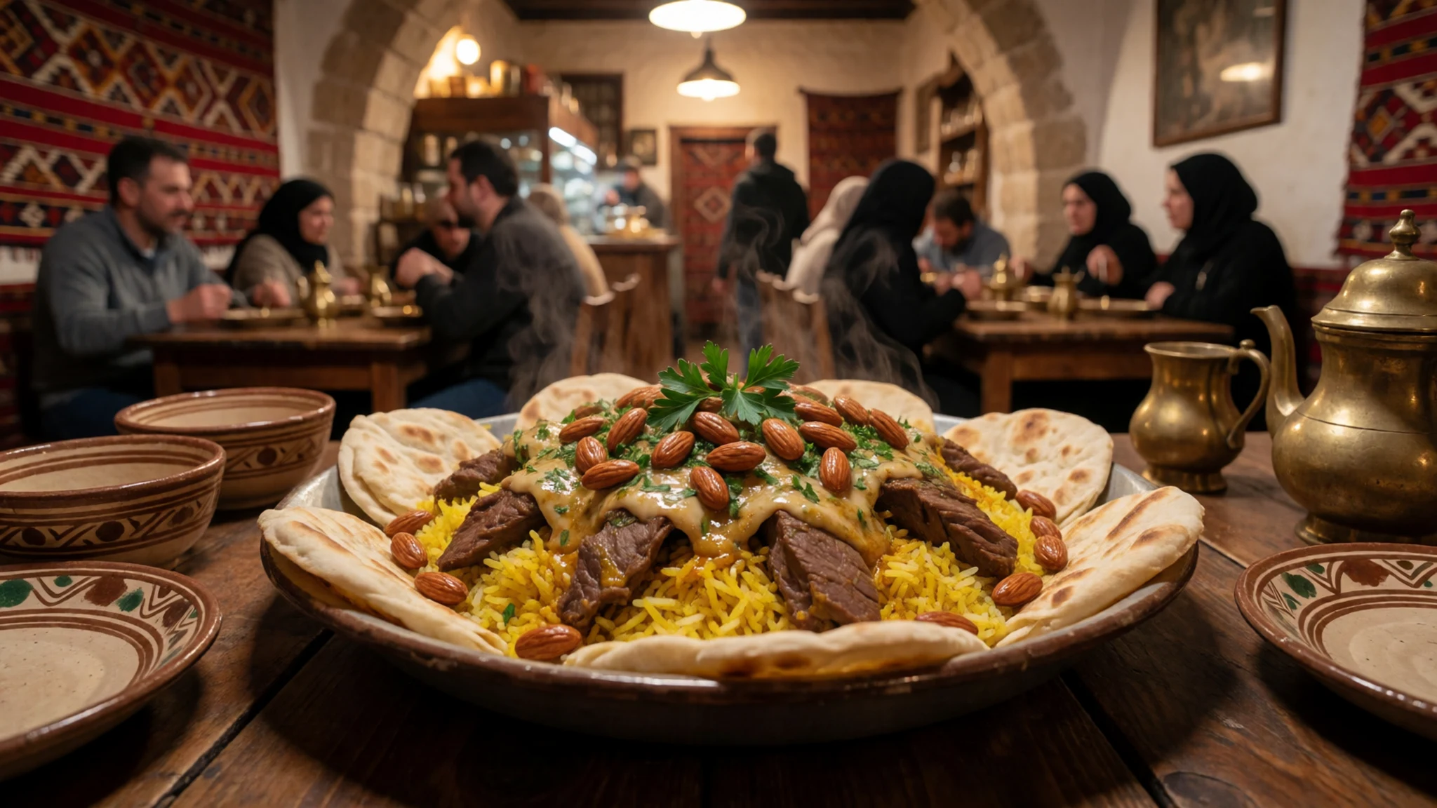
- Falafel and hummus — Street stalls and small eateries in central Amman
Crisp fried chickpea balls and smooth chickpea dip, served with warm bread, salad and pickles, make an inexpensive lunch that travels well. They are sold hot from frying pans in the early part of the day. Eat them before a canyon walk rather than carrying them through the stream, since they are best eaten fresh.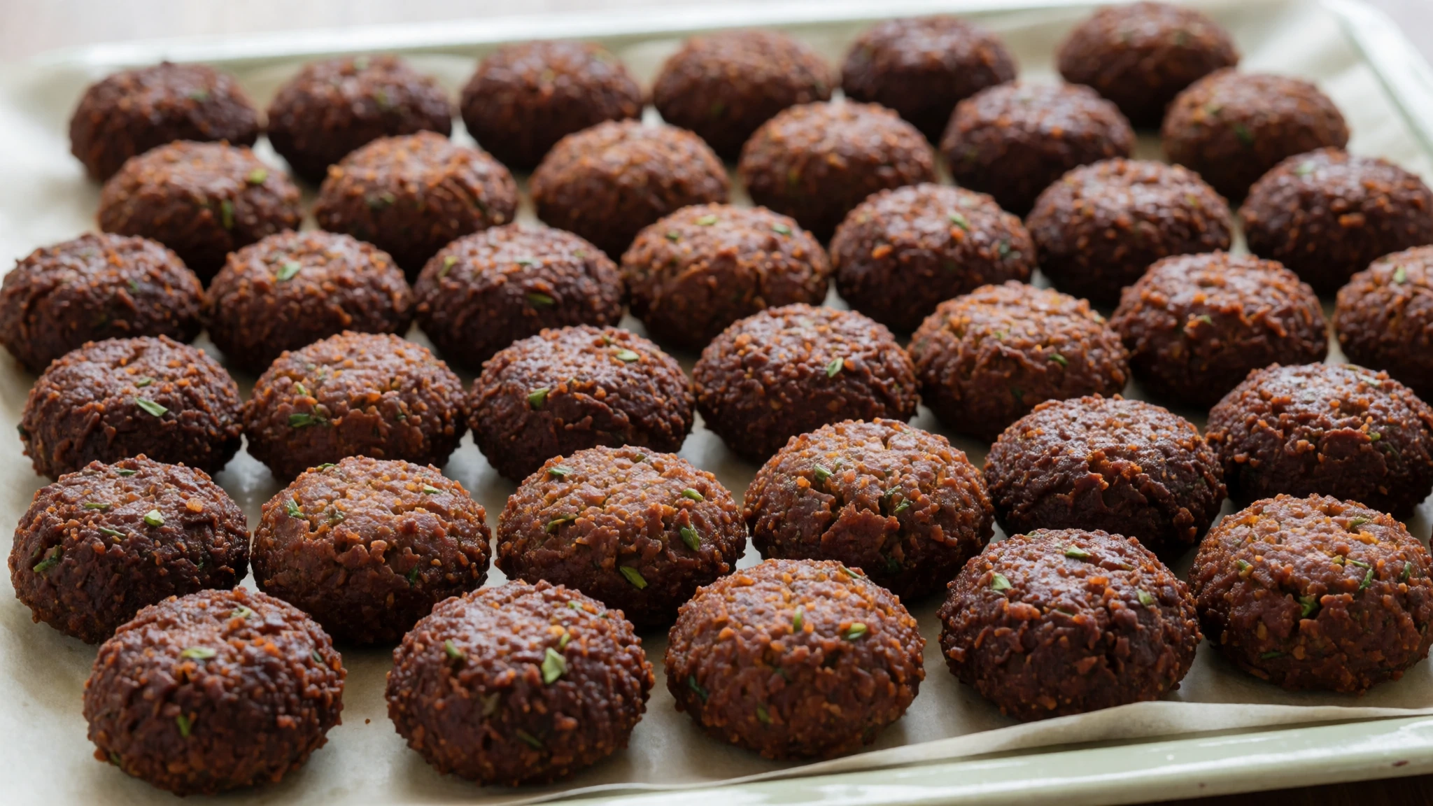
- Maqluba — Family eateries in the towns near the reserve
Maqluba means upside down, and the dish is built in layers of rice, fried vegetables and chicken or lamb, then turned out of the pot onto a platter. It is a home-style favourite often cooked for gatherings. Look for it at family eateries in the towns near the reserve, and ask a day ahead if you want it for a late lunch.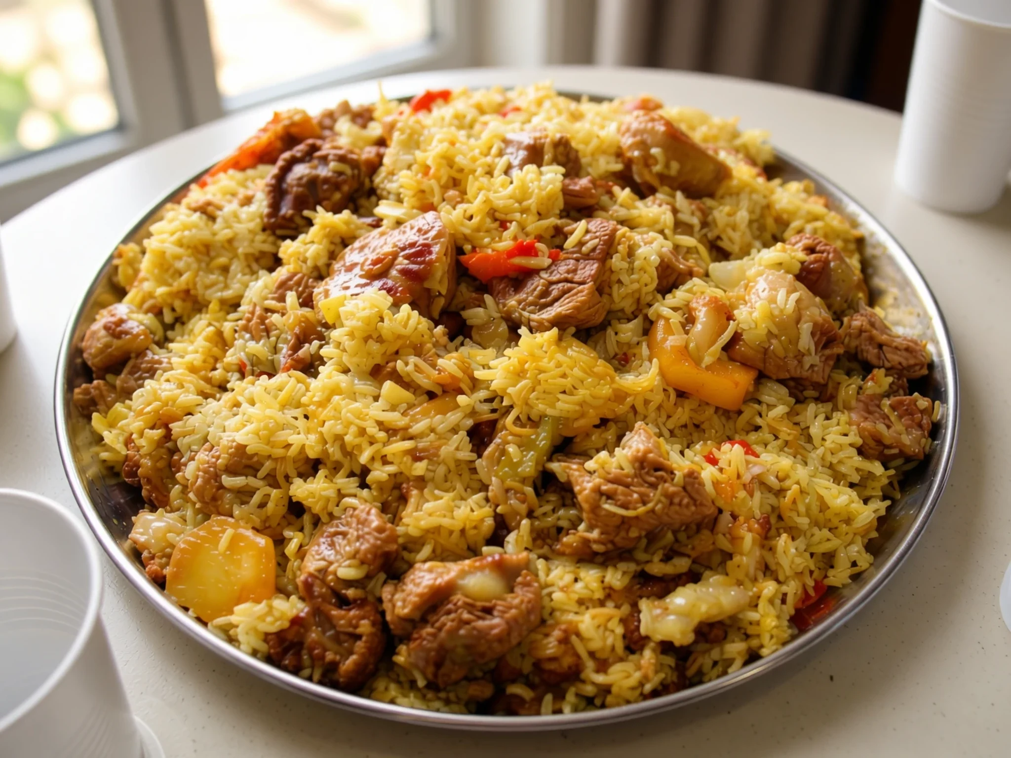
- Knafeh — Sweet shops in the older districts of Amman
This warm dessert is made from thin shredded pastry layered over soft cheese and soaked in sweet syrup, then topped with pistachios. It is served hot and is best eaten soon after it is made. Sweet shops in the older districts of Amman are the place to find it fresh. - Fresh juice and mint tea — Juice stalls and tea houses in the towns, and your own pack for the canyon
Fresh-squeezed juice from seasonal fruit and sweet mint tea are the everyday refreshments in Jordan, and both are welcome after a hot walk. Juice stalls and tea houses in the towns will serve them quickly. The on-site café was closed at the last check, so take your own water and food for the canyon.
Plan it
Best time. March–April and October–November are the least punishing months for a canyon walk, with highs of about 36–41 °C compared with 45–47 °C from June to August, so the heat is still strong even then. Summer afternoons are very hot, and winter rain can bring flash floods, so check conditions before you set off.
How long. 1–2
Getting there. Drive about 80 minutes from Amman to the activity centre, or take a taxi or a ride-hailing app, as public transport is limited. Enter the activity centre into your map app, because the far end of the wadi is a long way off and will send you to the wrong place.
Budget. mid
Tips
- Agree a pick-up time with your driver before you arrive, since getting a lift back can be harder than the way out.
- Start early in spring and autumn so you walk before the midday heat.
- Carry plenty of water and food, as the on-site café may be closed and there are no shops within walking distance.
- Wear shoes with grip for wet rock, and keep your phone and documents in a dry bag.
- Check current conditions and guided options with the Royal Society for the Conservation of Nature before you go.
Etiquette
- Stay on marked paths and keep to the stream bed where the route allows, to protect plants and wildlife.
- Ask before photographing people, especially in villages near the reserve.
- Carry out all your rubbish, including food scraps.
Nearby
Sources
- Wikidata Q2120208 (CC0)
- Wikipedia: Wadi Mujib (rev 1368422373) (CC BY-SA 4.0)
- Wikivoyage: Wadi Mujib (rev 4777744) (CC BY-SA 4.0)
- Canyon of Wadi Mujib, YousefTOmar (CC BY 3.0)
- Wadi Mujib, Effi Schweizer (Public domain)
- Al Mujib dam, Jordan, Bernard Gagnon (CC BY-SA 1.0)
- Wadi Mujib, Effi Schweizer (Public domain)
- Panoramafoto vom Wadi Mujib, F.Higer (CC BY 3.0)
- 05 Wadi Mujib Malaqi Trail, hikinginjordan (CC BY 3.0)
- 06 Wadi Mujib Malaqi Trail, hikinginjordan (CC BY 3.0)
- Une vue de la Jordanie, xorge (CC BY-SA 2.0)


