Vatnajökull National Park
Vatnajökull National Park, Iceland
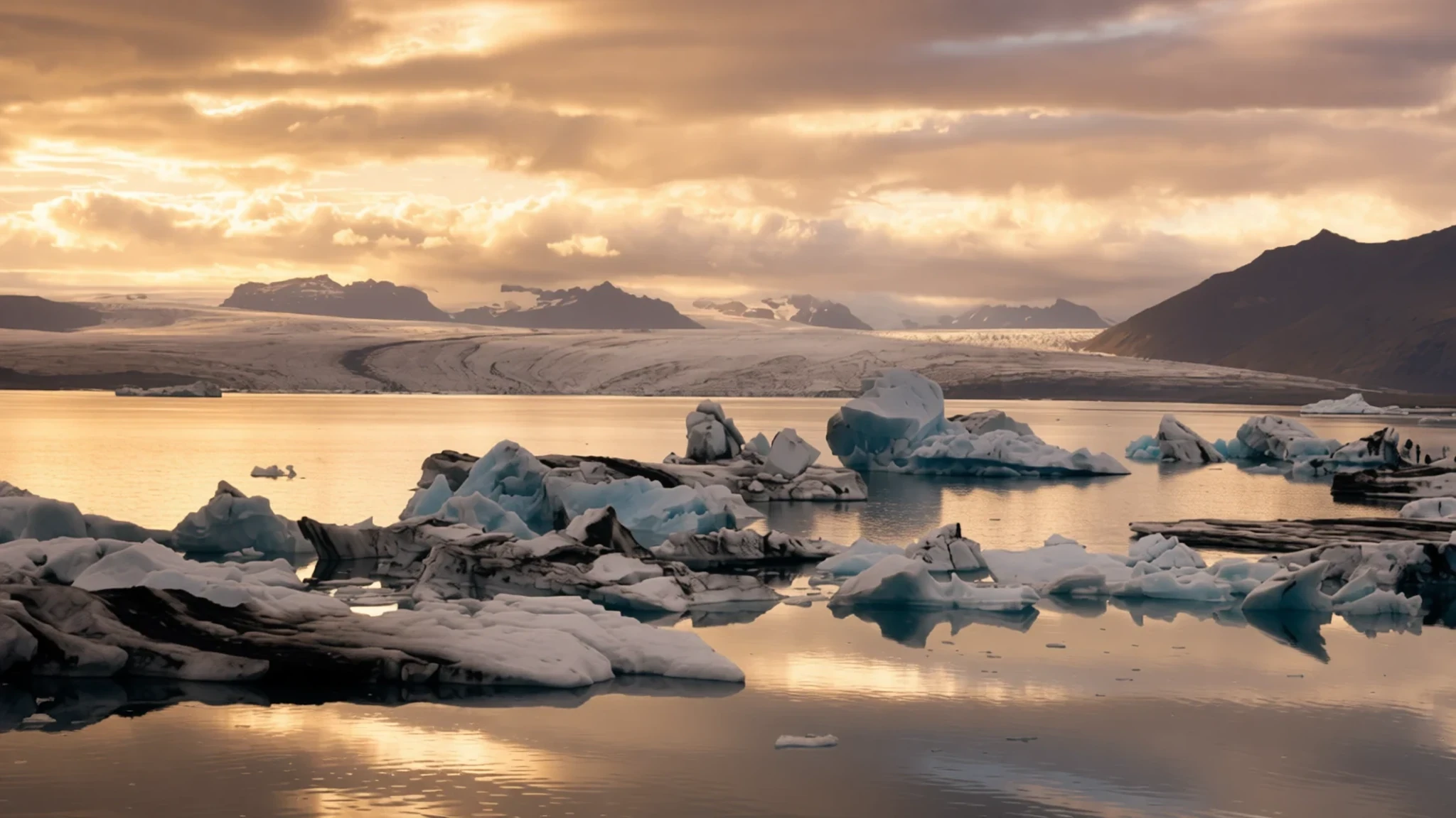
Go for ice you can walk on, canyons carved by glacial rivers and some of the wildest scenery in Europe, all within one national park.
The place
Vatnajökull National Park covers the great ice cap in south-east Iceland and much of the land around it. It is one of three national parks in the country and the largest of them. It was formed by bringing together older protected areas at Skaftafell in the south-west and Jökulsárgljúfur in the north, and it now reaches from the glacier's edges out to lava fields and river canyons. The landscape is varied for a single park. Outwash plains of black sand, volcanic craters, geothermal ground, waterfalls and high peaks sit within reach of one another. Most of the scenery is shaped by three forces working together: meltwater, moving ice and the volcanoes that lie beneath the glacier. Weather changes sharply with altitude. The lowland south gets very heavy rain, while the land north-east of the ice cap is among the driest in Iceland. Wind is almost constant on open ground, and the glacier needs respect as a place with its own dangers. Most people arrive along the Ring Road, which runs past the park's edge, and then split their time between a few base points: Skaftafell for walks and ice tours, Jökulsárlón for the lagoon, and the northern canyons for quieter ground.
Its story
The park was established on 7 June 2008, when it covered about 12,000 square kilometres. Its boundaries have grown since. Lakagígar, Langisjór, Krepputunga and Jökulsárlón, with the land around the lagoon, were added over the following years, and the park now covers 14,967 square kilometres. That is roughly 14 per cent of Iceland and makes it the second largest national park in Europe by area, after Yugyd Va in the Ural Mountains of Russia. A further extension to the north came in 2019, the same year the park was inscribed as a World Heritage Site on 5 July. The northern addition took in Herðubreið, a flat-topped volcanic peak surrounded by lava. It was not climbed until 1908 and has earned the nickname the Queen of Icelandic Mountains. The park's geology is layered. Beneath the ice lie mountains, valleys and plateaus, and several active central volcanoes, including Bárðarbunga, the largest, and Grímsvötn, the most active. Askja shows what volcanic collapse leaves behind. Its crater dropped after an eruption in 1875, and meltwater has since filled it to form a pool about 220 metres deep. Glacial rivers, meanwhile, cut the canyons near Ásbyrgi, and the meltwater that feeds them still drains to the sea.
What to see
- Jökulsárgljúfur and Dettifoss — north of the park
The glacial river that once shaped Ásbyrgi still runs through canyons further inland, and the northern part of the park holds Dettifoss, the most powerful waterfall in Iceland. Ásbyrgi itself is a horseshoe-shaped canyon with a campsite and visitor centre, which makes it a convenient base. Walk the rim paths for views down into the gorge, and expect strong wind on the exposed edges.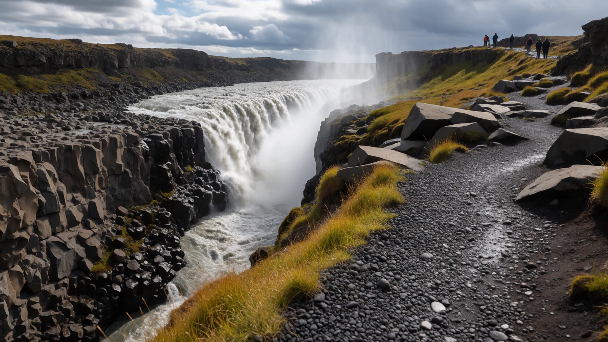
- Jökulsárlón glacier lagoon — south-east edge of the park
Jökulsárlón is a large glacial lake where icebergs break off the ice cap and drift towards the sea. Boat trips take you among the floating ice, and the blue and white shapes change from one visit to the next as the ice shifts and melts. The lagoon is one of the park's most visited areas, so arrive early or late in the day to avoid the busiest hours.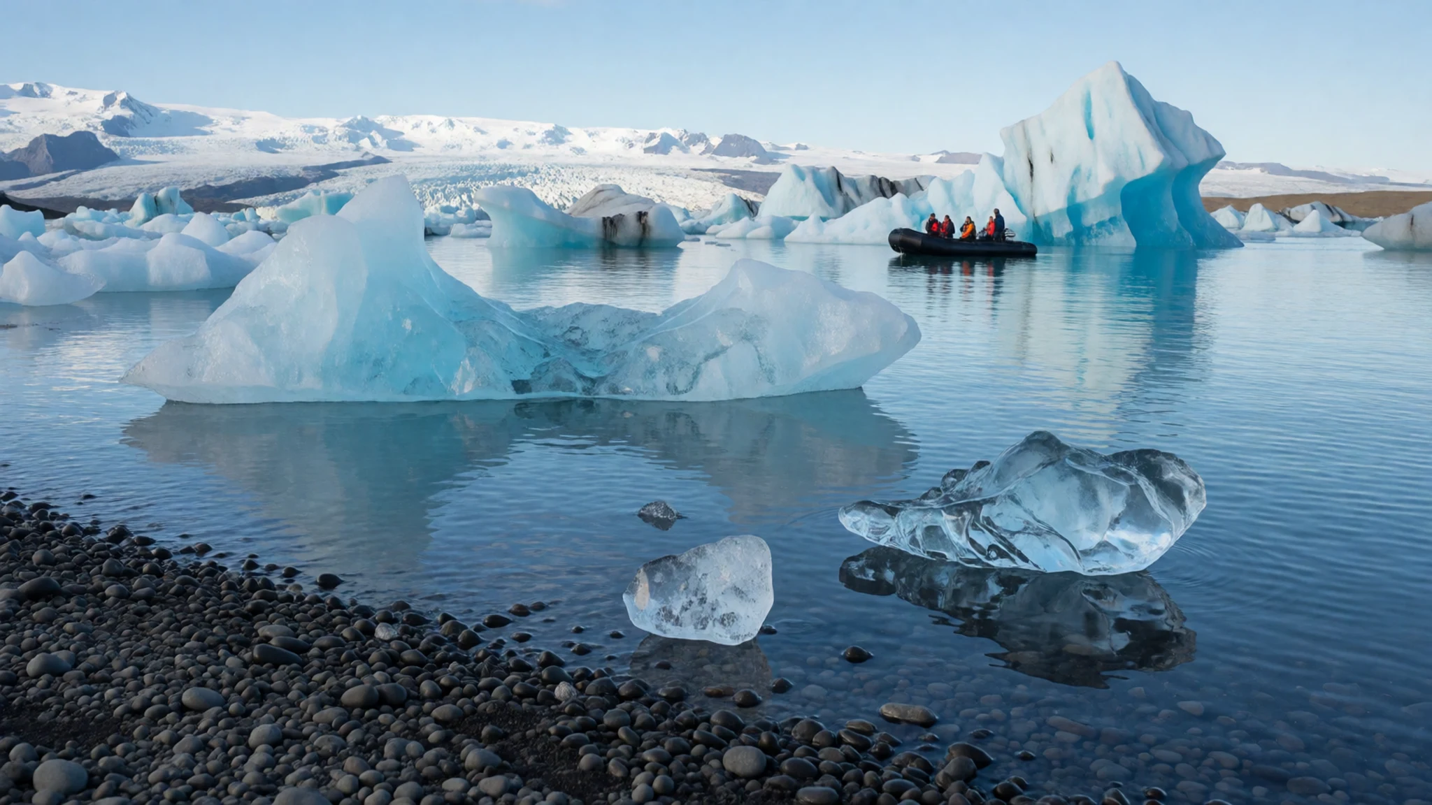
- Skaftafellsjökull glacier tongue — Skaftafell, south of the park
Skaftafellsjökull is an arm of the ice cap that reaches down close to the Skaftafell area. Marked trails lead to viewpoints across the ice edge, and the walk gives a good sense of how far the glacier stretches. Glacier guides based at Skaftafell offer walks onto the ice, ice caves and ice climbing. Stay on the marked paths unless a guide is taking you onto the glacier.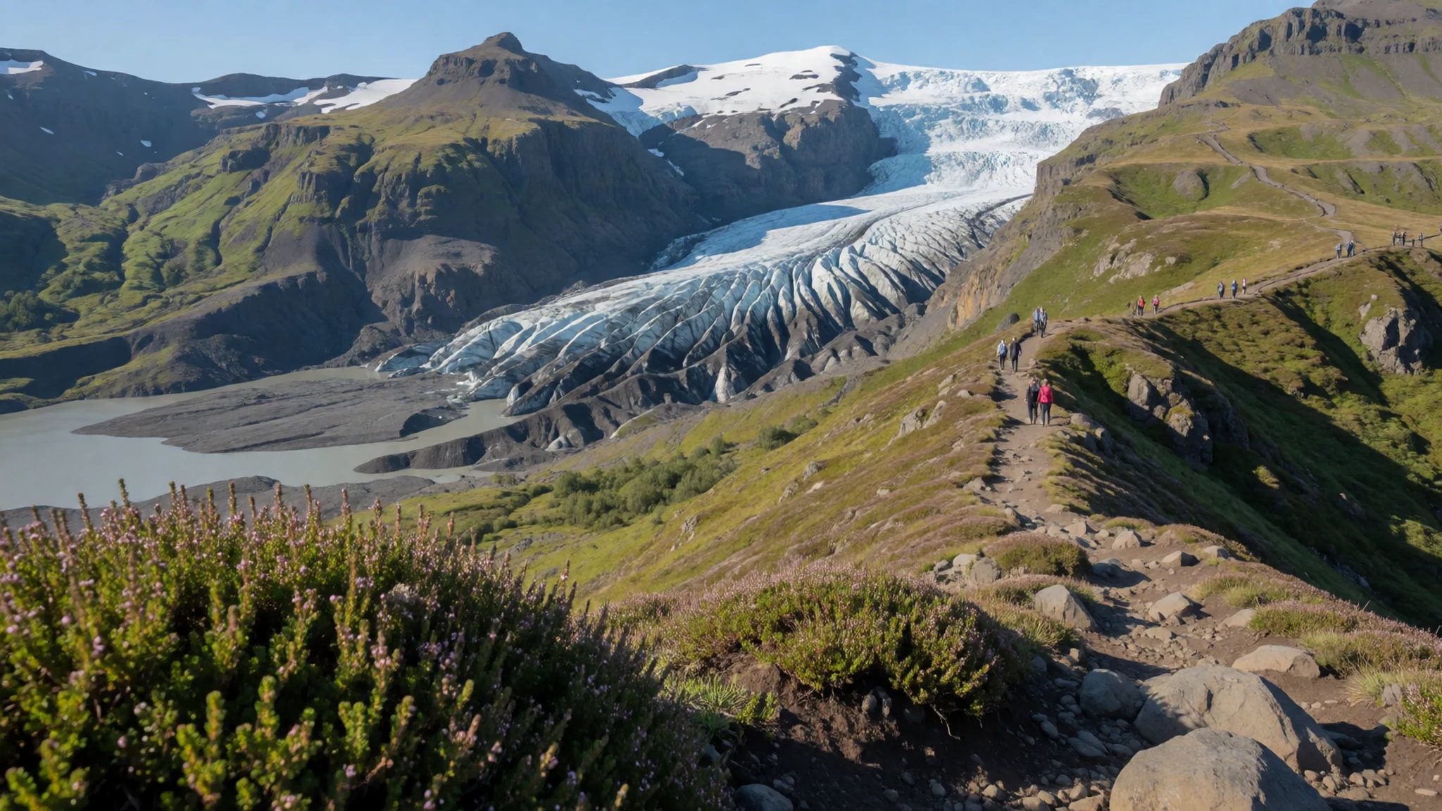
- Morsárfoss — south-west of the park
Morsárfoss is Iceland's highest waterfall, dropping more than 240 metres in a single fall. The water comes from the glacier above and the drop is a striking sight on a clear day. Reaching it is a walk rather than a short stroll, so check the route and the weather before setting out, and carry layers for the wind at the base.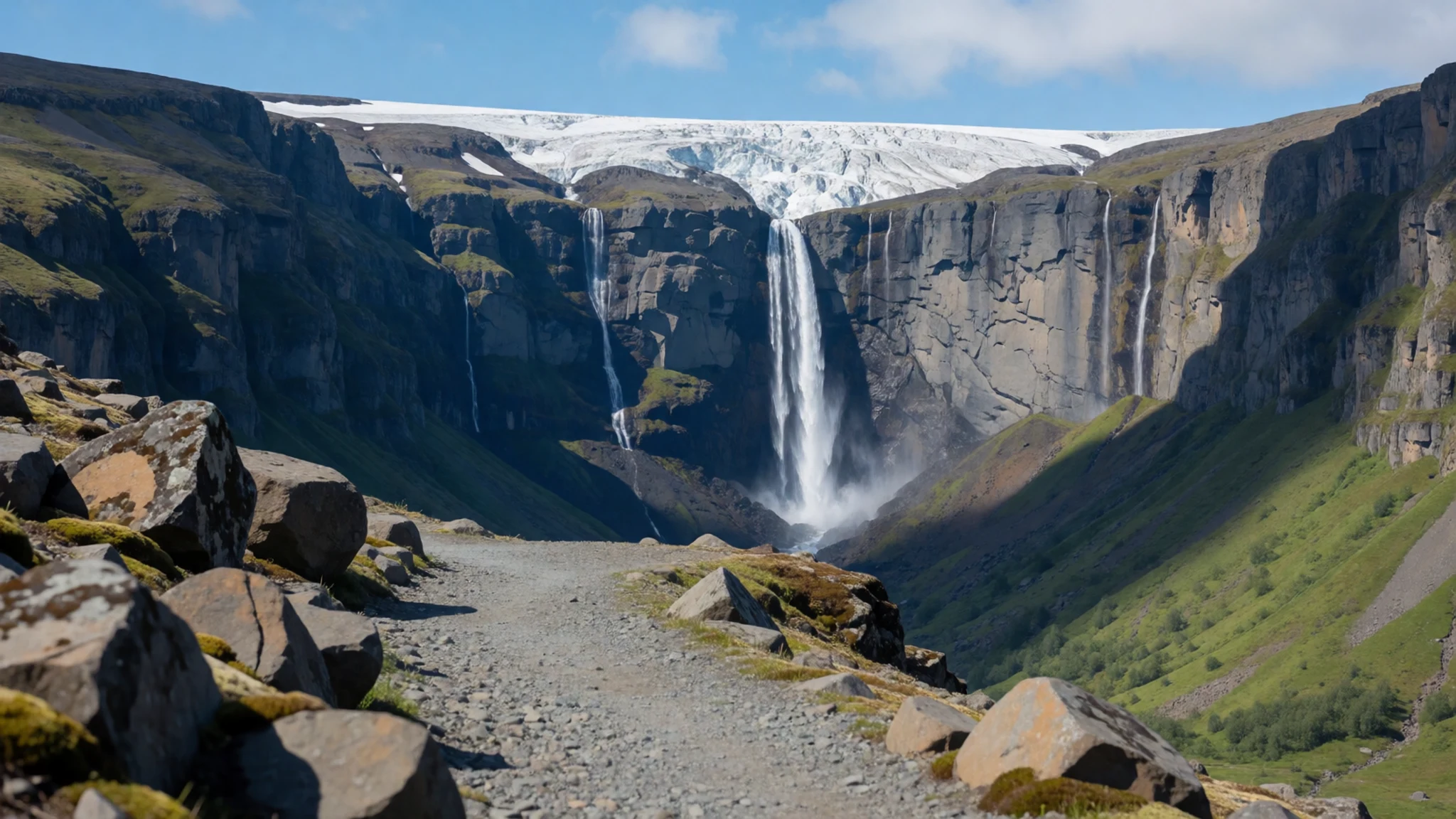
- Askja caldera — north of the park, interior highlands
Askja is a volcano whose summit collapsed after an eruption in 1875. Water has since gathered in the crater, forming a pool about 220 metres deep. The access route is rough and is better suited to a four-wheel-drive or an organised tour. Check conditions locally before you go, since the area is remote and mobile signal is unreliable.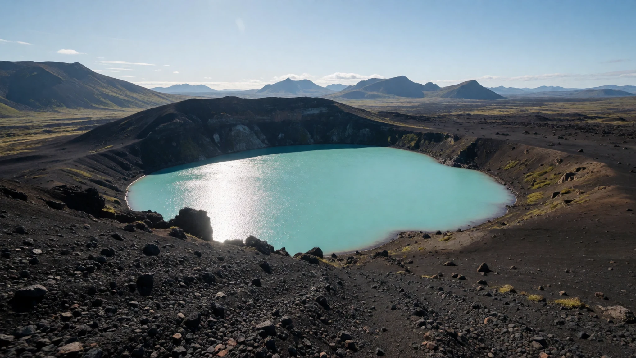
Culture
Vatnajökull National Park is a protected landscape rather than a set of attractions, and that shapes how people behave here. Visitors are expected to keep to marked routes, carry rubbish out and leave huts and campsites as they found them. Icelanders tend to be reserved in public and direct in business, so a polite greeting and a plain answer are usually well received at guesthouses, petrol stations and eateries. Many people drive the Ring Road and pull over for photographs, and it is wise to stop only where the verge is wide and clear of traffic. The huts along the mountain tracks are shared, so keeping noise low after dark is expected, and cooking areas should be left clean for the next group. Park staff say the state of tracks and paths can change faster than their information suggests, so the most respectful habit is to check conditions on the day rather than trusting last week's reports. Stay on marked paths, keep off the glacier unless a licensed guide is leading you, and carry your rubbish back to the car.
What to wear
Traditional Icelandic dress at Vatnajökull is rooted in wool and practicality. The búningur, or national costume, is a fitted outfit worn for celebrations and national holidays, and its textiles are heavy, hard-wearing wool. The lopapeysa, the yoked sweater knitted from undyed lopi yarn, is the everyday garment most people associate with Iceland. Its natural greys, browns and creams come straight from the sheep, and its patterns are knitted by hand. Today most people in the park wear the same clothing as walkers anywhere in cold, wet and windy country: waterproof shell jackets, fleece or wool mid-layers, windproof trousers and sturdy boots. A lopapeysa is still common, both as an outdoor layer and as a souvenir. For a visit, dress for weather rather than season. Summer days are usually mild, with average highs of only about 6 to 9 °C from June to August, and wind chill can make that feel much colder, while winter can drop well below freezing. Pack a waterproof shell, a warm hat and gloves, a wool base layer, and boots with good ankle support for moraine and ice edges. Crampons and harnesses are supplied by guides on glacier tours, so you do not need to buy them.
What to eat
- Kjötsúpa (lamb soup) — the restaurant at Fosshotel Nupar, near Skaftafell
A hearty soup of lamb, root vegetables and barley, the sort of meal that suits a cold day on the ice. It is a regular item on menus across rural Iceland and is one of the most reliable warm dishes to order after a long walk. Look for it on the restaurant menu at Fosshotel Nupar, which serves lunch and dinner.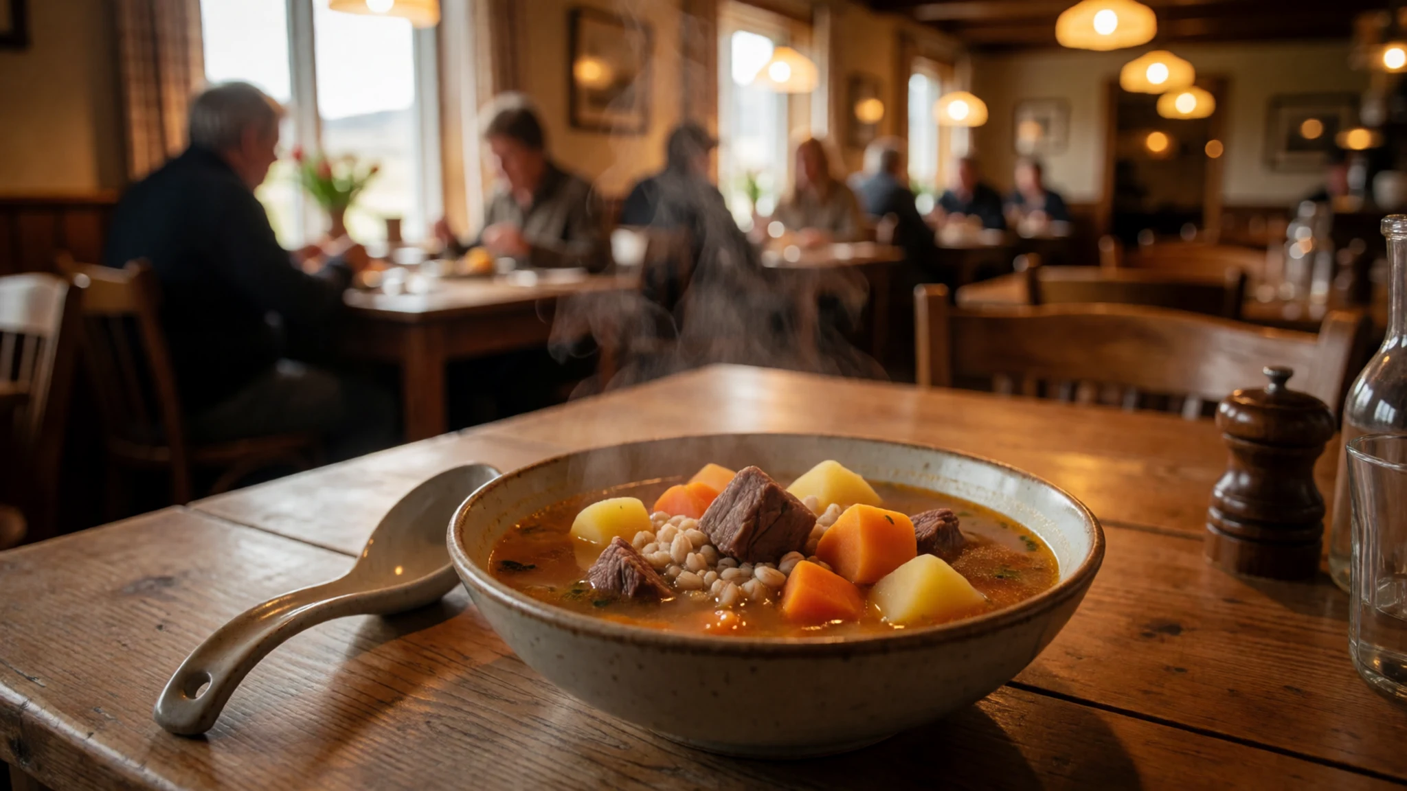
- Smoked lamb and local meat — the roadside service station roughly 5 km east of the park, across from the Skaftafell hotel
Lamb is central to Icelandic cooking, and smoked or cured lamb appears in simple roadside meals and packed lunches. The food at the service station a few kilometres east of the park is good, though the choice is limited, so it is a practical stop rather than a destination meal.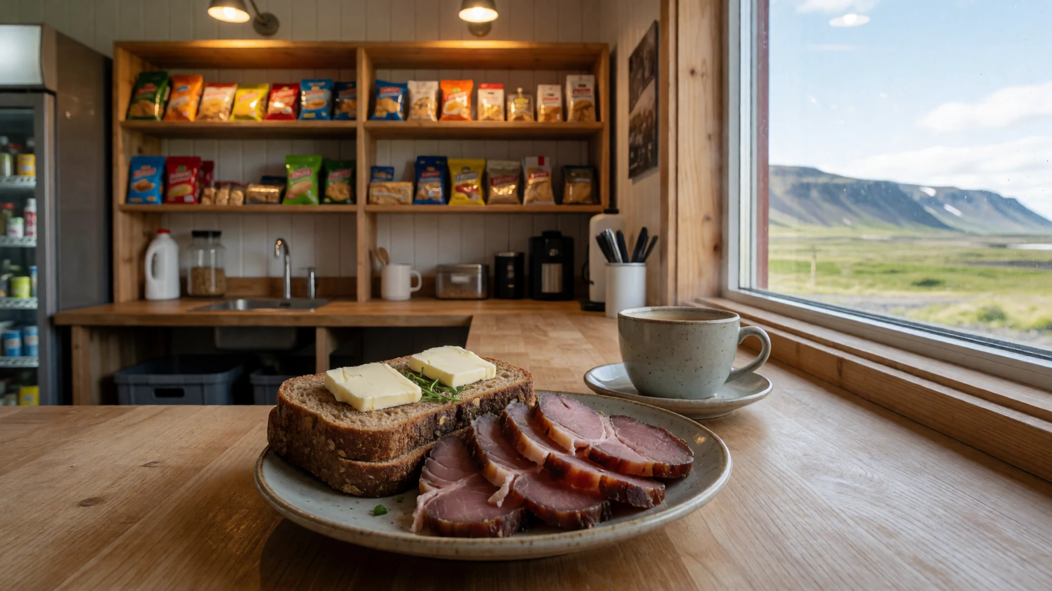
- Skyr — the small shop inside the roadside service station, or any grocery in the south
Skyr is a thick, strained dairy product, somewhat like yogurt but firmer and less sweet, and it is a dependable breakfast or snack for hikers. Small shops near the park stock it in tubs and single cups, which make easy trail food. - Plokkfiskur (fish stew) — any simple eatery along the Ring Road
Plokkfiskur is a mash of boiled white fish, potatoes and onion with a white sauce, served warm with rye bread. It is a homely dish that suits the simpler eateries along the Ring Road, where it is often served as a daily special. - Pylsur (Icelandic hot dog) — petrol station kiosks along the Ring Road
The Icelandic hot dog is a lamb and pork sausage in a soft bun, with raw and fried onion and sweet mustard. It is cheap, filling and found at petrol stations and kiosks across the country, making it a good option when you are short on time before a drive.
Plan it
Best time. June to August gives the longest days, the easiest road access and the widest choice of guided ice tours. September is quieter, with clearer skies on many days and autumn colour on the lower slopes. Winter brings ice caves and guided ski touring, but roads and daylight are both limited.
How long. 2–3
Getting there. Fly to Keflavík International Airport near Reykjavík, then drive the Ring Road east and south along the coast to reach the park. Public transport is limited, so a rental car or an organised tour is the practical option.
Budget. high
Tips
- Book guided glacier walks and ice tours ahead in summer, when places fill quickly
- Confirm track and path conditions locally on the day, since staff may not always know the latest state of the routes
- Fill up with fuel whenever you pass a station, as there are few in the area
- Budget for higher prices in the roadside shops and cafés than you would pay in town
- Pack layers and waterproofs, because the weather can shift within an hour
- Check opening times and fees on the official website before you travel
Etiquette
- Keep to marked paths and stay off the glacier without a licensed guide
- Keep noise down in shared huts and leave cooking areas clean
- Carry out all rubbish and stop only where the road verge is wide and clear
Nearby
Sources
- Wikidata Q1353292 (CC0)
- Wikipedia: Vatnajökull National Park (rev 1382139081) (CC BY-SA 4.0)
- Wikivoyage: Vatnajökull National Park (rev 5258427) (CC BY-SA 4.0)
- Skaftafellsjökull (Sjonarnípa Trail), photo 01 (CC BY-SA 4.0)
- Hvannadalshnúkur, photo 02 (CC BY 3.0)
- Man standing in front of Jökulsárlón Glacier Lagoon, photo 03 (CC BY-SA 4.0)
- Ófærufoss, photo 04 (CC BY 3.0)
- Öræfajökull, photo 05 (CC BY 3.0)
- Nýidalur huts, photo 06 (CC BY 3.0)
- Blue block of ice, Jökulsárlón, photo 07 (CC BY-SA 4.0)
- Ásbyrgi campsite, photo 08 (CC BY 3.0)


