Ujung Kulon National Park
Ujung Kulon National Park, Indonesia
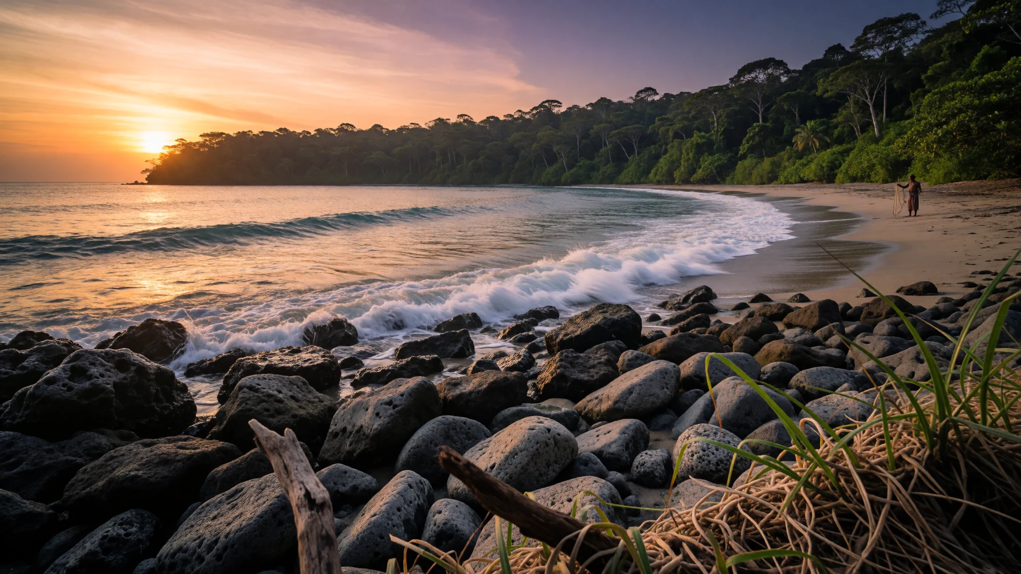
Ujung Kulon is a wild Java rainforest escape with beaches, islands, and a serious chance of seeing endangered wildlife.
The place
Ujung Kulon National Park (Taman Nasional Ujung Kulon) sits at the westernmost tip of Java, in Banten province, and it wraps the full Ujung Kulon peninsula plus nearby islands and the Gunung Honje mountain range. The landscape feels deliberately “far”: lowland rainforest that stays lush, coastal tracks that lead to sand and surf, and viewpoints where the ocean looks endlessly open.
The park is also an important conservation stronghold. It was recognised as a UNESCO World Heritage site for its lowland rainforests in Java and for the threatened Javan rhino, a species that remains rare enough that sightings are talked about more in clues than in certainty. Instead of planning around guaranteed animals, the better mindset is to plan around movement: short drives to trails, boat rides to island zones, and quiet patience in the places where wildlife regularly shows itself.
Ujung Kulon’s meaning—“Western End/Point West”—isn’t just a name. It describes a geography at the edge of Java, where the wind can pick up, the coast changes colour with the light, and travel involves more water than people expect. Access is usually easiest via organised tours from nearby towns, though independent stays are possible around the mainland gateway area.
Wildlife viewing is practical rather than romantic: bantengs and peacocks at certain meadows, deer and wild boar on nearby islands, and the occasional large animal on the move. The park’s beauty is that it doesn’t feel curated—just protected—so days are about reading the terrain, listening for insects and birds, and accepting that the jungle will do what it wants.
Its story
Ujung Kulon’s story starts with science interest and then gets reshaped by catastrophe. A Dutch-German botanist, Franz W. Junghuhn, introduced the area to the Western world in 1846 through expeditions, and later scientists became curious about the peninsula’s biological richness. Before the big volcanic upheaval, written accounts were limited, so the park’s “before” history is mostly a quiet gap rather than a well-documented chapter.
That changed when Mount Krakatoa erupted in 1883 and triggered a tsunami reported to be 15 meters high. Much of the local settlement fabric disappeared and wasn’t simply rebuilt, and the explosion left ash in the landscape, described as an average layer of 30 cm across the area. Yet the place did not stay empty. The ecosystem recovered quickly enough to act again as a reservoir for Java’s flora and fauna, especially lowland forest.
Conservation efforts then grew alongside Dutch colonial administration: Pulau Panaitan was set aside as a nature reserve in 1921 and later combined with Pulau Peucang into a wildlife sanctuary in 1937. After independence, the peninsula and surrounding protected areas retained their protected status, and protection boundaries expanded within the Gunung Honje forest over time—southern parts included in 1967 and the northern portion following in 1979. Today, the result is a park that still carries traces of dramatic natural change, but now wrapped in long-term protection that keeps the wilderness story going.
What to see
- Cidaon Meadow viewing zones — Cidaon Meadow area
Cidaon Meadow is a practical wildlife stop. Bantengs and peacocks can show up here, and the layout matters: animals tend to spend more time in the afternoon, and spotting is often from a viewing tower or from the meadow rim below. Close views are rare because the animals stay alert and keep to cover.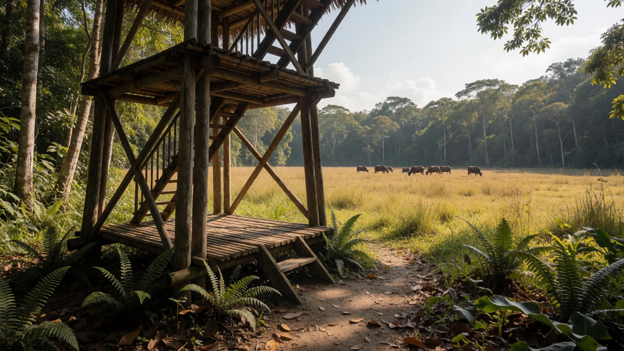
- Peucang Island wildlife time — Peucang Island
Peucang Island is where the park often feels like an island safari—monkeys, Timor deer and wild boar are mentioned alongside the chance of larger cats. With wildlife, distances and patience matter: the best “photos” are frequently long-lens framing rather than walking up to animals. Expect tracks, calls, and movement before you see the moment.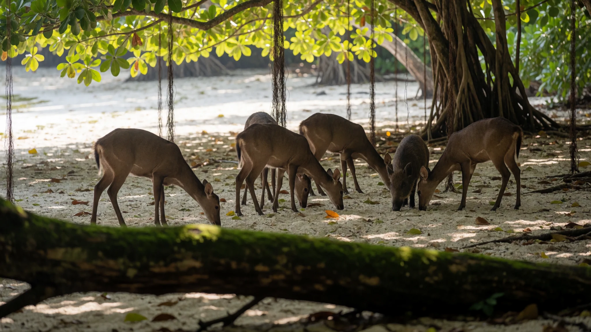
- Javan rhino clues on the south beach — South beach areas
The Javan rhino is rarely seen directly, but footprints and droppings are reported on the south beach. That makes the shore a place for careful observation—reading signs without rushing toward them. If a day is quiet, this is still useful: it’s the sort of encounter that comes from stillness rather than spectacle.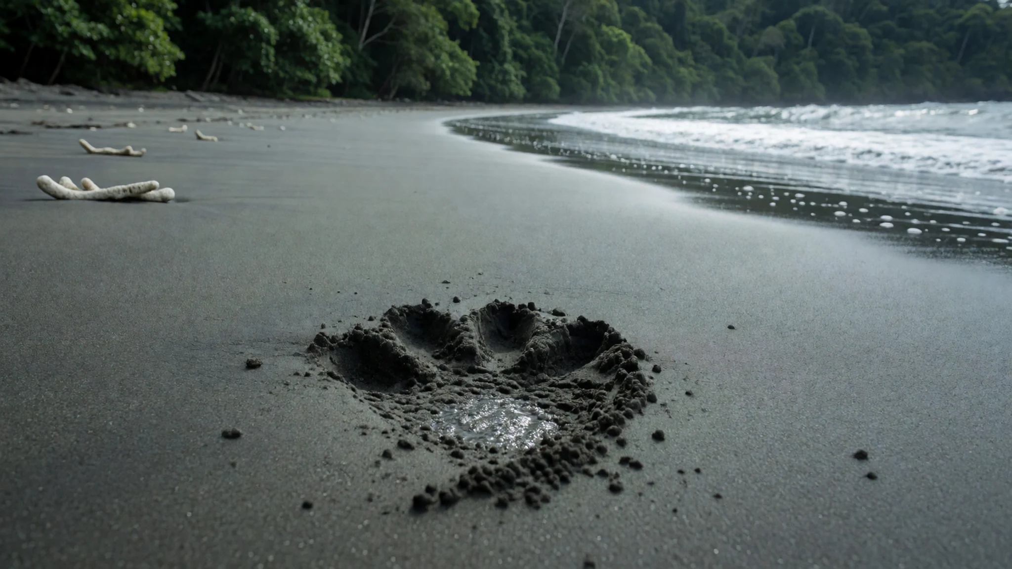
- Tanjung Layar ruined lighthouse area — Tanjung Layar coast
Tanjung Layar mixes old infrastructure with open-coast views. There are two ruined lighthouses associated with Dutch and Portuguese building, plus a newer lighthouse with a viewpoint from the top. An abandoned Dutch prison sits nearby, with walls still standing but roof and doors missing. Ask permission before attempting entry to the lighthouse.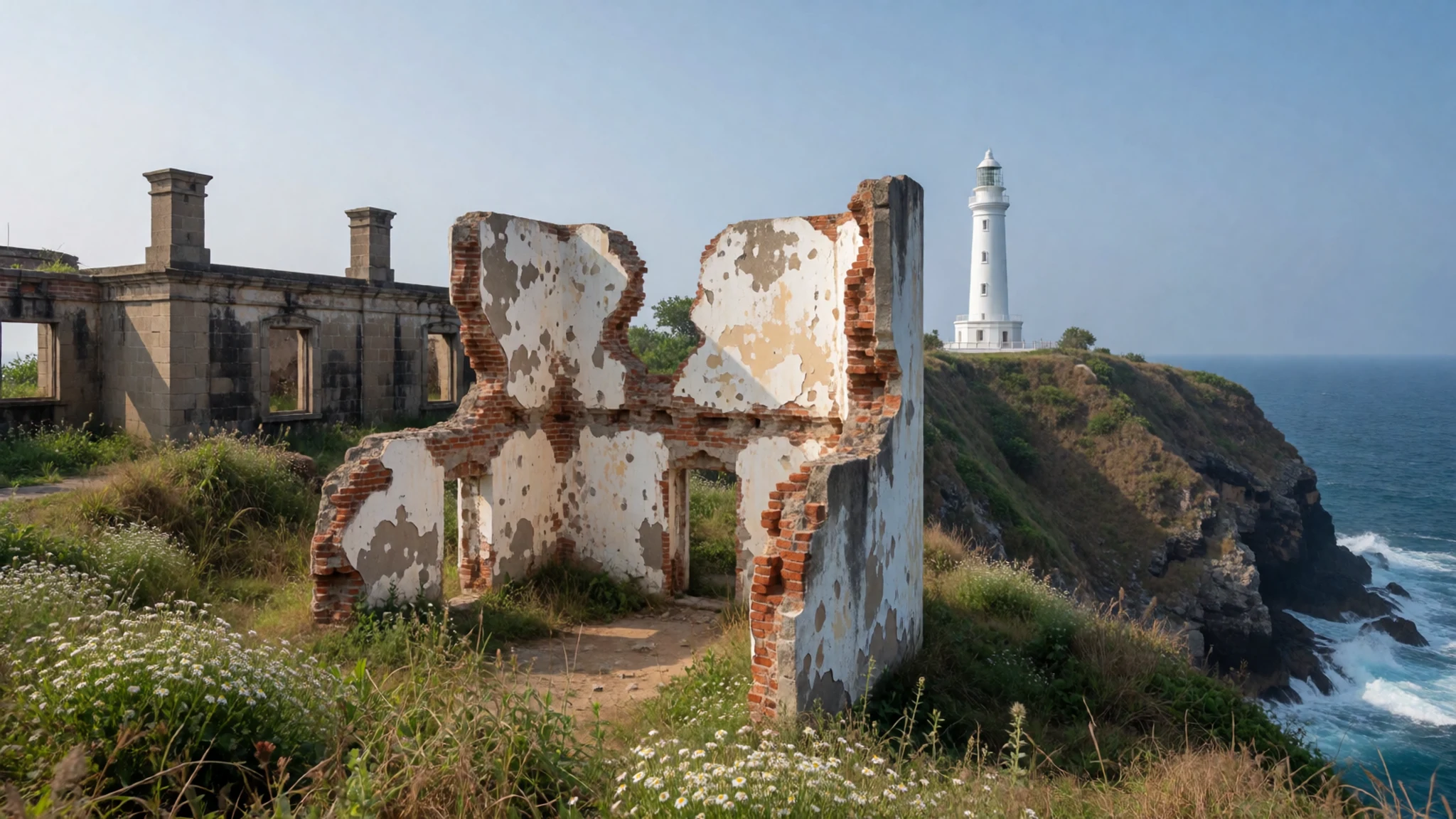
- On-the-water canoeing — Coastal waters within the park
Canoeing is listed as an activity, and it fits Ujung Kulon’s shape: jungle backed by sea. It’s also one of the more immersive ways to slow down and notice the small details—water colour, birds along the edges, and shoreline vegetation. Conditions vary, so use the day’s guidance from the local team.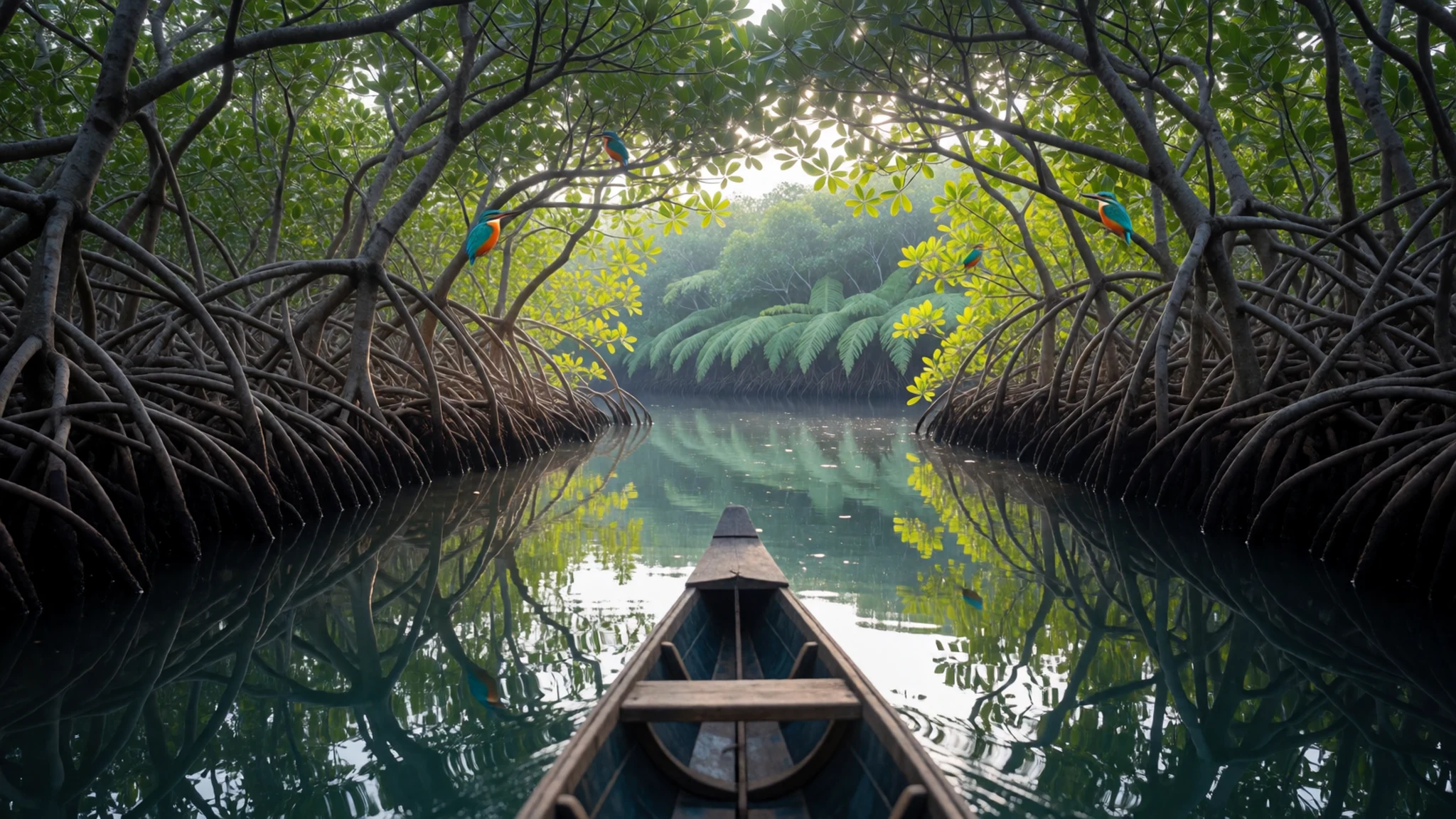
Culture
Ujung Kulon is about rules that keep wildlife safe and visitors safer in remote terrain. Much of the experience is controlled by logistics—especially boat travel—and the park’s wildlife isn’t there for close approaches. On jungle walks, the park context matters: reported muggings in remote areas mean the standard advice is to go with a jagawana (forest guard) when exploring deeper into the forest.
Photography and movement also come down to respect. Wildlife spotting often requires staying in place rather than charging toward a sound or a movement. If a viewing tower is provided, use it; if someone is maintaining a routine for animals or safety, joining it helps. When visiting lighthouse areas, there are practical access norms too: permission is required before trying to enter and climb to the top.
In short, Ujung Kulon rewards slow behaviour—quiet voices, fewer sudden actions, and following what the guides and guards say about routes and timing.
Keep to your guide or jagawana and avoid leaving marked routes or approaches to animals.
What to wear
Traditional dress in Banten and wider Indonesian culture varies by community, but at Ujung Kulon the “real” fashion focus is practicality around climate and terrain rather than a single outfit. Locally, visitors may notice batik-patterned shirts and sarongs in towns, but in the park itself most people dress for sun, rain, and muddy paths.
What travellers typically wear now: lightweight breathable tops, long trousers or a comfortable long skirt/cover-up for bug protection, and a hat or cap. Footwear is the big decision—closed shoes or sturdy sandals with grip are usually better than flimsy flip-flops, because paths can be uneven and wet.
What a visitor should wear: quick-dry clothing that can handle heat and showers, a light rain layer, and long sleeves or a thin cover for insect-prone stretches. If visiting lighthouse or old ruins, bring something that can handle dust and uneven steps. If any temple-like doorways or religious spaces appear in the wider itinerary outside the park, modest, shoulder-covering clothing is a safe choice—then dress down again for the jungle.
Add simple sun protection and water, because even on cloudy days the humidity can feel heavy under rainforest canopy.
What to eat
- Park-area meals on Peucang Island — Peucang Island (park restaurant / group-catering)
Ujung Kulon has limited dining options, and one restaurant serving the park is mentioned on Peucang Island. With group tours, it’s common for the cook to be organised as part of the trip, so expect simple, filling meals designed for travel days rather than a big menu choice.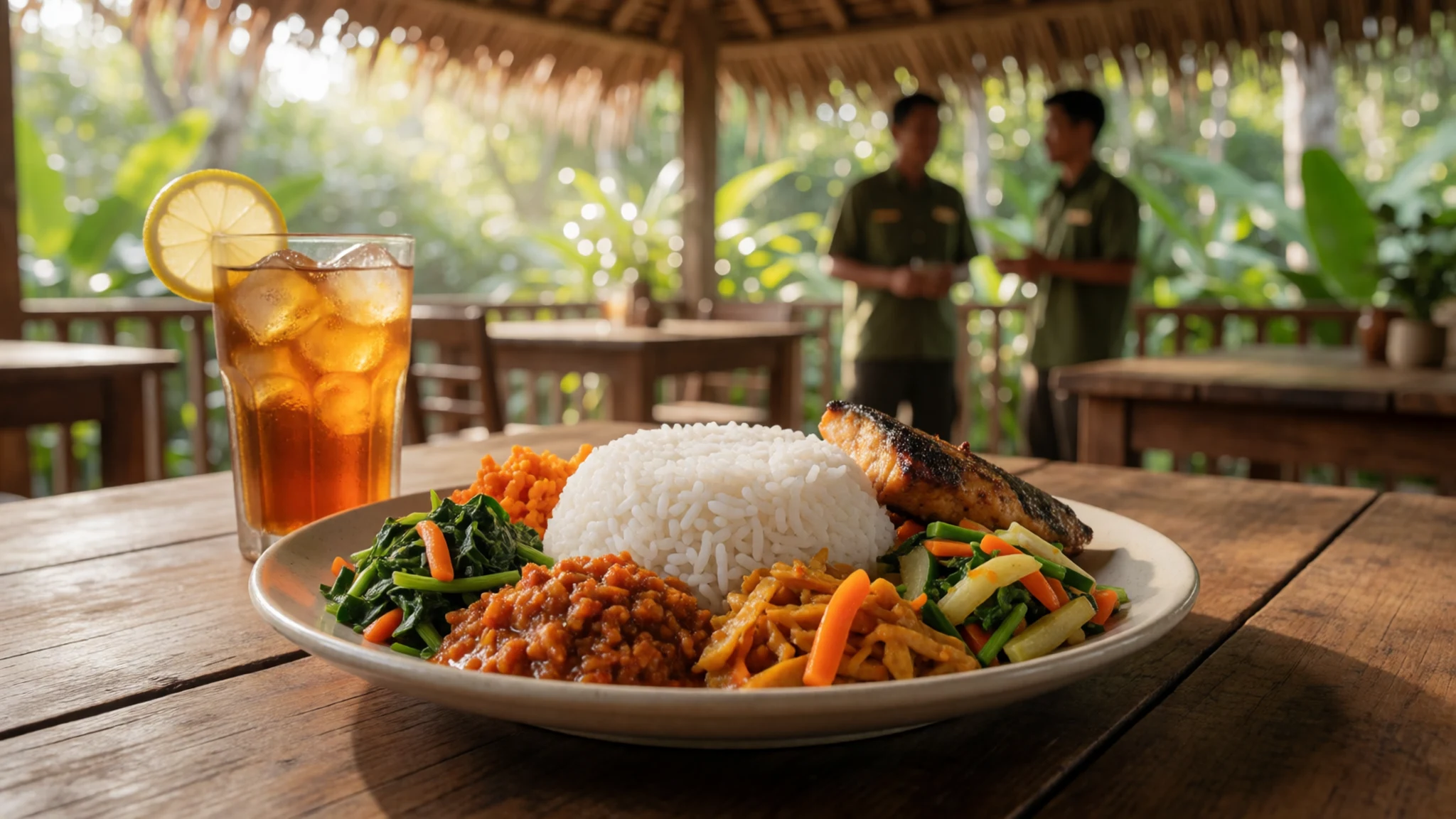
- Tour-group cooking — On organised tours from the park area
Many visitors go via group tours, and these tours often bring their own cook. That usually means predictable portions and timing, which can help on remote island days when shops are not nearby and refuelling stops aren’t planned like city breaks.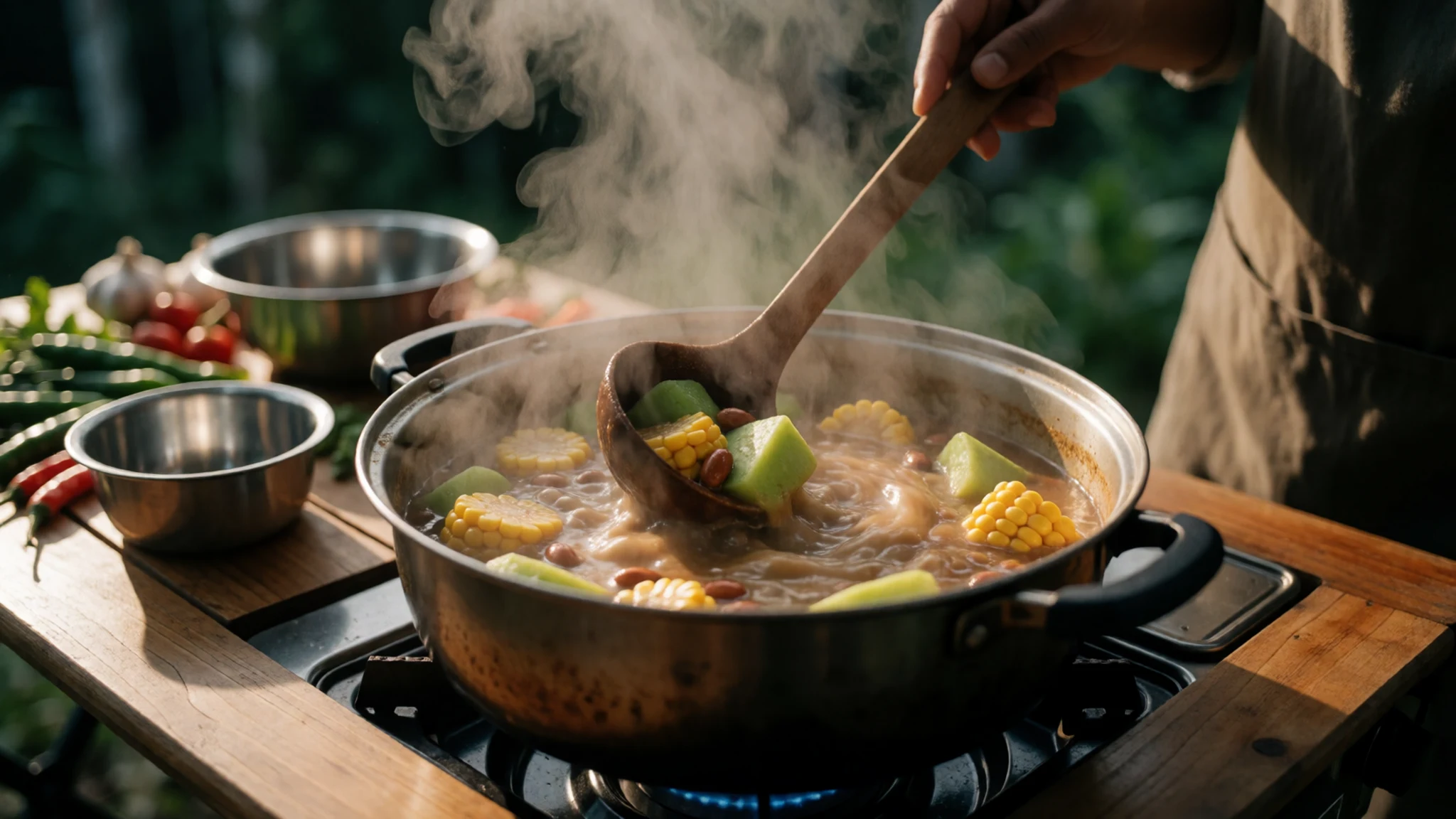
- Basic meals in the Anyer approach — Anyer (before transfer to the park)
Because the easiest way in is described as buying a tour from a resort in Anyer, the food scene often begins there. Think: pre-trip meals in coastal towns and then park meals after the transfer, keeping expectations straightforward and focused on energy for travel and walking. - Labuan stopover snacks — Labuan (during the overland leg)
If travelling by public transport, Labuan is a common stepping point. Expect small snack breaks and informal stops rather than a wide selection, and use this time to pick up water and simple eat-on-the-move options before continuing towards the park entry area.
Plan it
Best time. May–August for the drier, more comfortable weather and August for the lowest rain; January–February are the wettest months, while the hottest stretch is from October to December and also around March, with daily highs hovering around 32°C. Avoid the very windy west monsoon period.
How long. 3–4
Getting there. Fly into Jakarta (the nearest major gateway for the public-transport route described), then take a bus from Kalideres bus station towards Labuan; continue onwards to Sumur or the last point before Ujung Kulon National Park (often named Taman Jaya). From Anyer, the easiest practical entry is via a tour from a resort, with the transfer to Peucang Island taking a few hours.
Budget. mid
Tips
- If wildlife matters, plan for afternoon meadow time for banteng activity rather than expecting morning certainty
- Use a long lens if photos are the goal—small movements at distance are common
- When exploring deeper in the jungle, go with a jagawana (forest guard)
- Carry water and stay flexible: boat and trail conditions can shift with wind and waves
- Pack quick-dry clothes and shoes with grip for wet, uneven ground
Etiquette
- Ask permission from the lighthouse guard before entering or ascending the lighthouse
- Stay calm and avoid sudden approaches when wildlife is near viewing areas
- Follow guidance on what boats and routes are safe for open-ocean conditions
Nearby
Sources
- Wikidata Q4522 (CC0)
- Wikipedia (rev 1378214648) (CC BY-SA 4.0)
- Wikivoyage (rev 5310155) (CC BY-SA 4.0)