Tumucumaque National Park
Tumucumaque National Park, Brazil
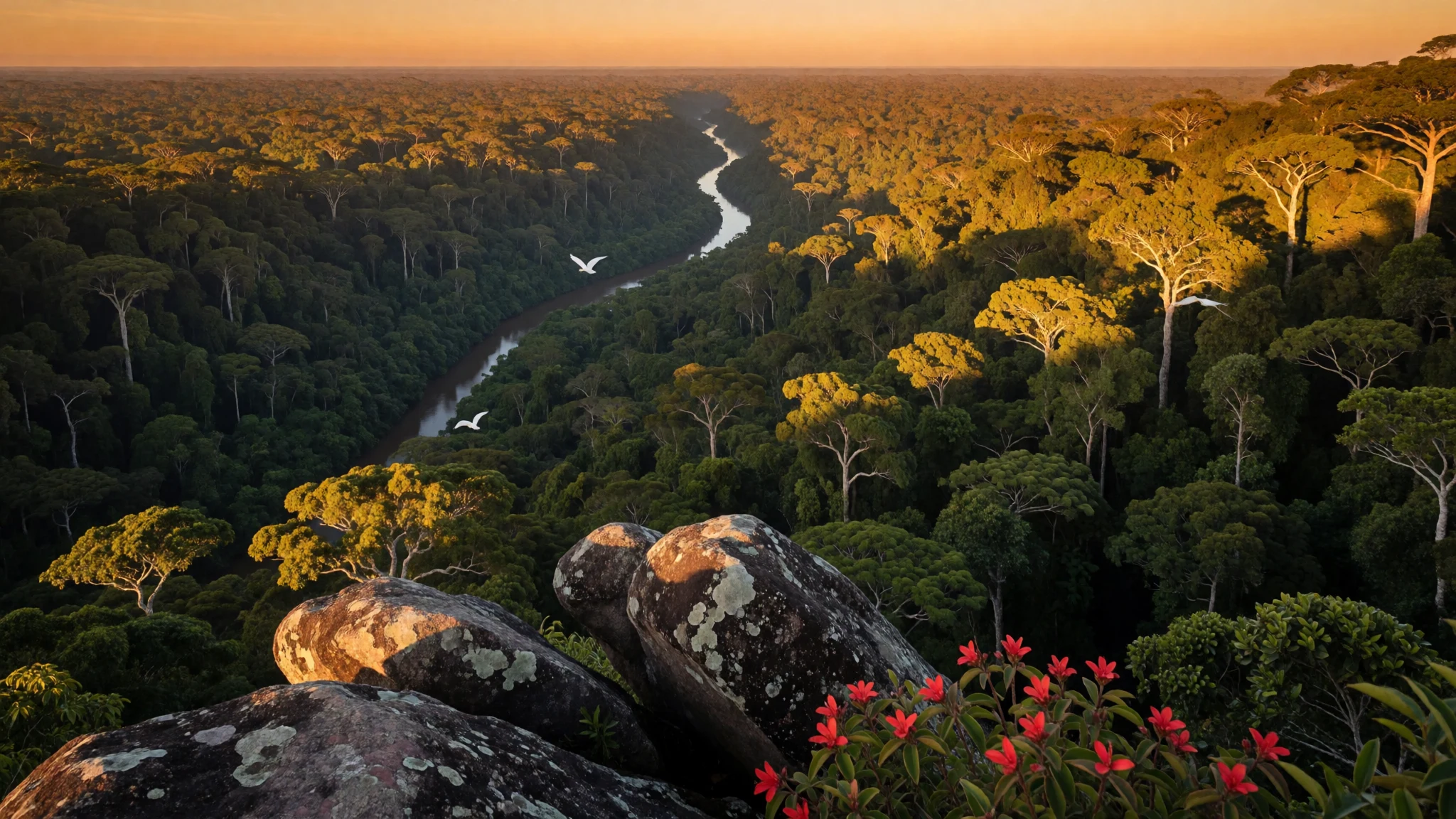
Tumucumaque National Park is Amazon rainforest country split into two sectors, reached by boats, where nature does the scheduling.
The place
Tumucumaque National Park sits in Brazil’s northern Amazon, in the state region of Amapá and Pará, where thick green forest meets major waterways. It’s bordered to the north by French Guiana and Suriname, so this is a borderland kind of wilderness: remote, humid, and shaped by rivers as much as by trails.
What makes Tumucumaque different is the scale of protection and the way it reads on the ground. Instead of a single “park drive”, it’s approached through sectors and river routes, with rustic base areas where activities are built around walking and water. That means days often feel slow in the best way—moving from camp to viewpoints, then pausing for long looks at canopy, birds, insects, and the changing light under mist.
The park’s edges also tell their own story. Along the northern frontier, the landscape leans towards border-country waterfalls and river viewpoints; deeper inland, the forest becomes a ceiling of leaves with occasional breaks to show rock and water patterns when conditions thin out.
For travellers, the practical takeaway is simple: expect logistics to matter more than “sightseeing”. Plan for heat, rain, and limited in-park comfort, and treat the trip like a rainforest expedition—because that’s what Tumucumaque is. When the weather is kind, the return is that rare feeling of being surrounded, not entertained.
Its story
Tumucumaque National Park was declared a national park in 2002, with support tied to WWF collaboration, and it later became part of a wider biodiversity corridor initiative. The result is a protected area that isn’t just about drawing lines on a map; it’s about connecting habitat across a large stretch of the Guiana Shield.
In practice, the park’s story comes through its geography. The protected unit sits inside the Amazon rainforest and is positioned along a northern boundary with French Guiana and Suriname. That placement matters because ecosystems don’t stop at administrative borders: the forest, rivers, and wildlife move across the wider region, and Tumucumaque’s conservation role fits into that larger corridor logic.
The park’s management is documented through a published management plan in 2010, reflecting the reality that protecting remote rainforest takes systems, not just goodwill. Support for conservation work is linked to the Amazon Region Protected Areas Program, which is the kind of framework that helps keep long-term protection practical.
From a traveller’s point of view, none of this changes the smell of wet leaves or the soundscape of insects at dusk—but it does explain why the visit is structured around sectors and bases. Tumucumaque is a park designed to be endured and respected. It’s not an “afternoon escape”; it’s a place where the rainforest sets the pace, and the best days are the ones planned with patience and ready boots.
What to see
- Forest canopy viewpoints
Tumucumaque’s forest looks different from low down and from ground level: leaf-dense dossel views, shafts of light, and mist that softens edges as morning rises. It feels like looking up into a living roof.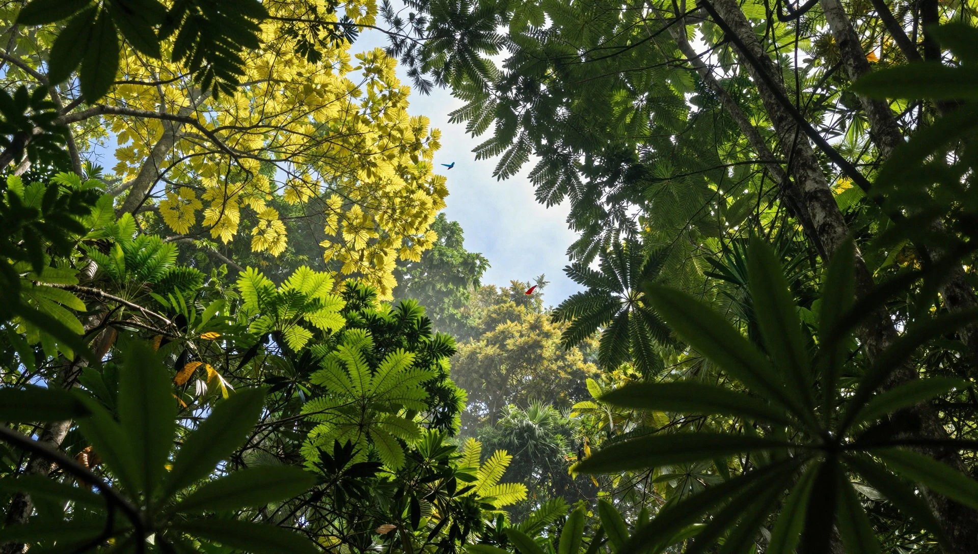
- Maripa Falls on the Oyapock River
Near the northern border landscape, the Oyapock area offers river-and-fall scenery that reads like a boundary landscape. The water pulls your eyes along the flow, with rainforest framing the viewpoint and a sense of distance beyond the trees.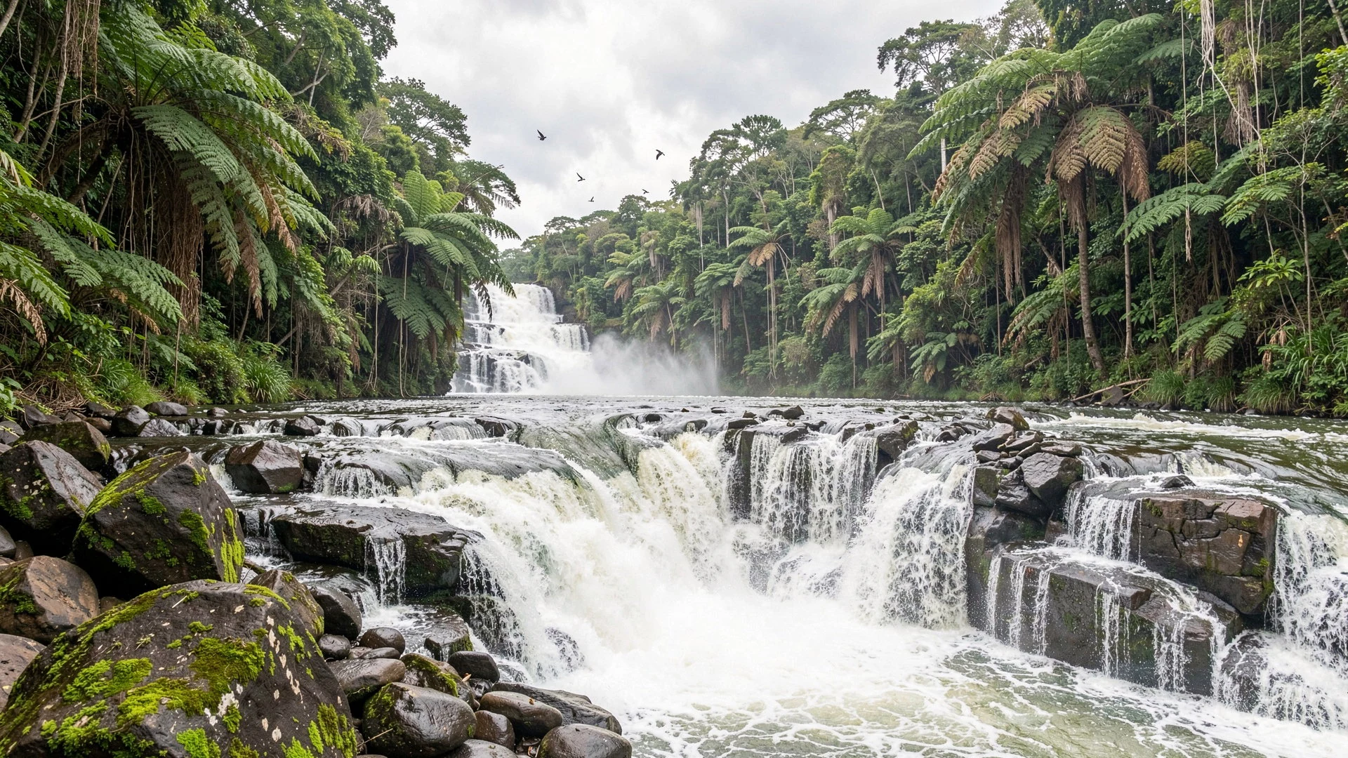
- Rio Jari dry-season exposed rocks
During drier conditions, water levels can drop enough that stones and rock shapes in the Rio Jari area become visible, turning a normally green stretch into a textured river scene. It’s a reminder that water depth changes the whole experience.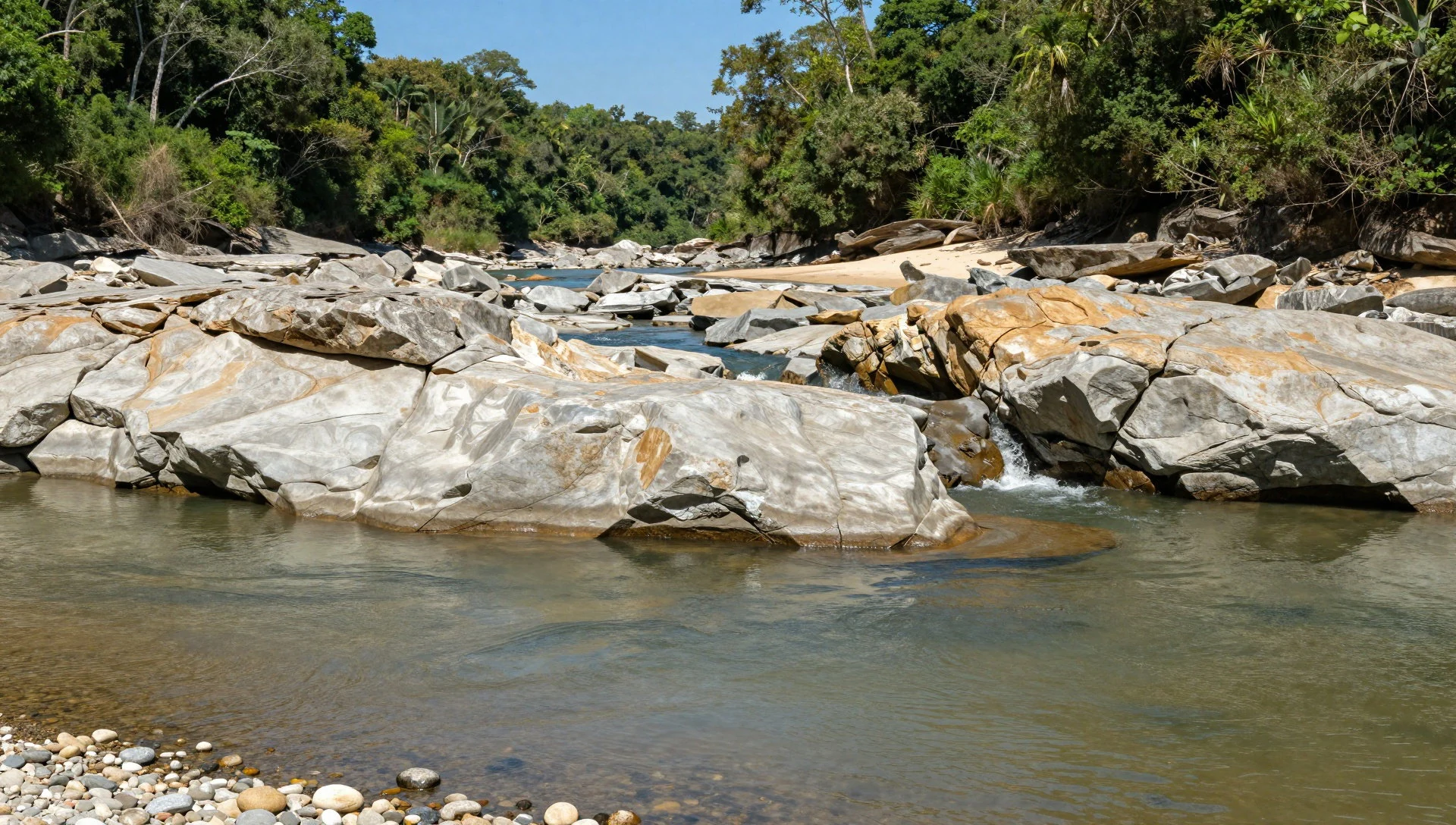
- Base Jupará river access
At the Base Jupará side, an accessible riverside stair landing marks the handover from boat country to camp and trail country. The Rio Jari frontage is practical and atmospheric—quiet moments before heading into the forest.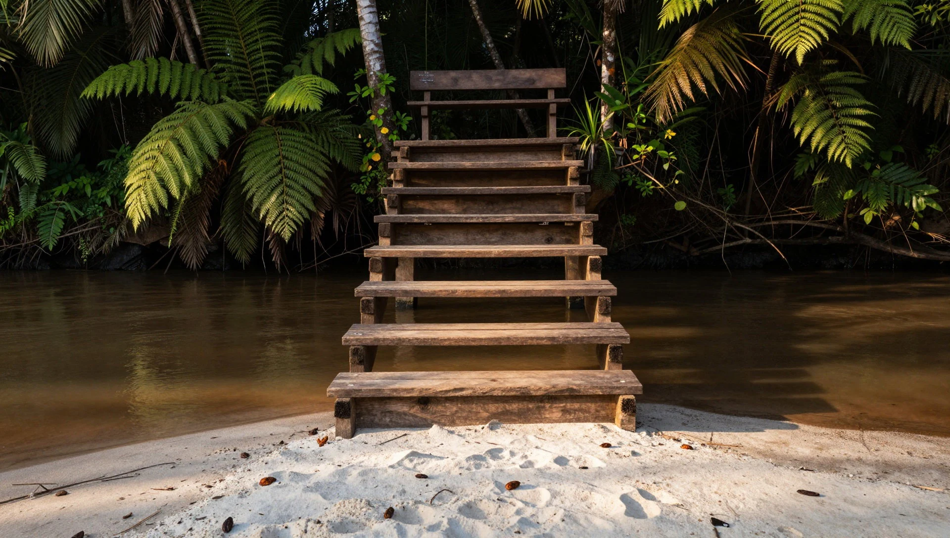
- Rio Feliz edges and stony stretches
Along the Rio Feliz limits, the river corridor alternates between vegetation and exposed stone during lighter-rain periods. Views from the shoreline show how the forest opens in patches, giving you angles on water, rock, and the surrounding greenery.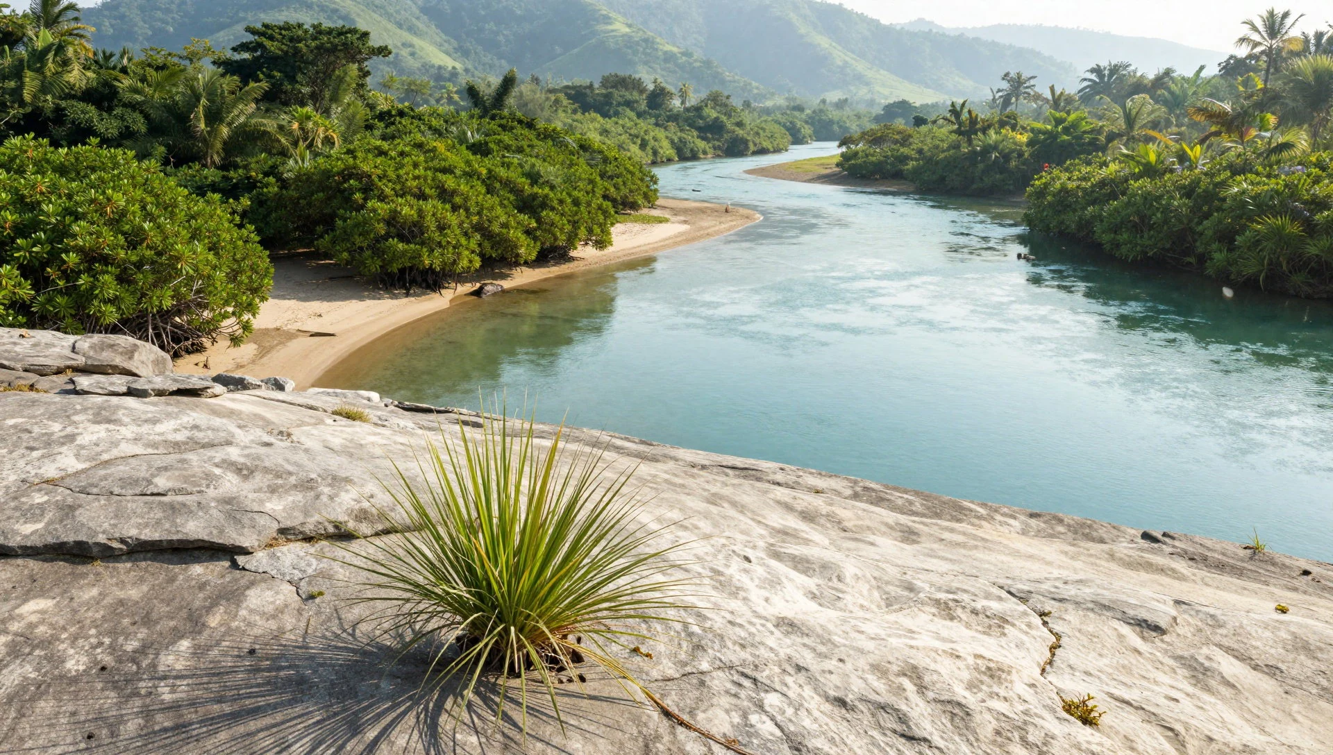
Culture
Tumucumaque National Park is visited in two main sectors—Amaparí and Oiapoque—which shapes the culture of a trip more than any single “attraction”. In Amaparí, people commonly use Serra do Navio as a starting point or arrive from a nearby community in Pedra Branca do Amapari in summer, then travel by aluminium boats to a rustic base where time is spent walking and watching riverside nature.
In the Oiapoque sector, camping happens around Cachoeira do Anotaie on the Anotaie River, with longer routes by aluminium boat from the city of Oiapoque. Some journeys also include Vila Brasil, a community on the right bank of the Oiapoque River opposite the French-Guyanese indigenous community of Camopi. Here, services are provided mainly by local traders, and the visit becomes more about human context—how communities support each other across the river—than about ticking off sights.
Expect modest comforts, a lot of waiting around for boat timing and conditions, and a strong emphasis on respecting the rules that keep this remote rainforest protected. Visitor mindset matters as much as gear.
Visitor etiquette: keep noise low in the forest and follow local guidance on where to camp and walk, especially near water and community areas.
What to wear
Tumucumaque National Park sits in Amazon rainforest conditions, so dressing is about protecting skin and coping with damp ground rather than looking “outdoorsy”. Traditional dress isn’t a focus inside the park—most visitors wear functional clothing—so the key is choosing fabrics and coverage that work in humidity and insects.
What people actually wear now is straightforward: quick-drying tops, long trousers or lightweight long sleeves for sun and bug protection, and sturdy footwear that can handle muddy river edges. In community or base areas, practical clothing still wins; there’s usually no need for formal wear.
For visitors, the best approach is to dress for modest coverage and real terrain. Wear a hat, bring a light rain layer, and choose socks and shoes that can get wet without ruining the day. If visiting any nearby community areas connected to the trip route, lean towards clean, non-transparent layers and closed-toe shoes on paths and steps.
Textile-wise, think breathable synthetics or tightly woven cotton blends rather than heavy wool. With river travel and wet vegetation, quick-dry and easy-to-rinse items are the difference between “comfortable expedition” and “constant chafing and cold”.
What to eat
- Tucupí — Regional Pará-style eateries and local food stalls
Tucupí is a yellow manioc-based gravy, known for a bitter edge, and it shows up in multiple local dishes. Look for it in regional Amazon-Pará cooking where dishes are built around that distinctive sauce.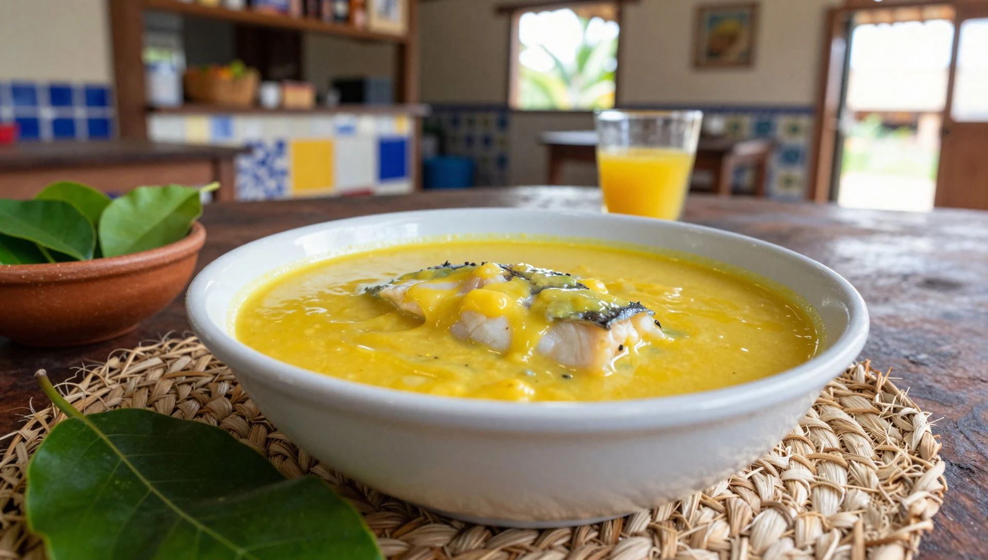
- Maniçoba — Pará regional restaurants and local home-style eateries
Maniçoba is a cousin of feijoada in spirit, made mostly with pork and manioc, then served with rice. It’s commonly found in Pará-style food settings where indigenous influences stay strong.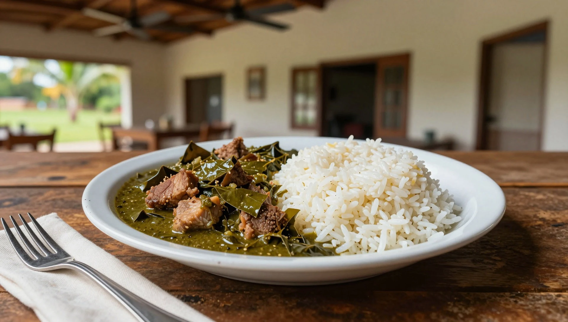
- Pato no Tucupí — Regional Amazon-Pará food venues
Pato no tucupí is duck cooked with jambú (a vegetable) in tucupí. It’s the kind of dish that tastes exactly as it sounds: rich, savoury, and anchored by the manioc sauce. - Tacacá — Street-food style stalls and local soup vendors
Tacacá is a soup made with tucupí, dried shrimps and jambú. It’s a warm bowl that suits damp weather well, and it’s usually sold where local soups and snacks are part of daily routine. - Açaí — Markets and casual juice/sweet stalls
Açaí is served as a creamy, soup-like sweet made from açaí fruit. When the day has been hot or rainy, it’s an easy, refreshing option you’ll often see sold as a simple, local treat.
Plan it
Best time. The driest stretch is roughly from August to November, with rainfall dropping sharply from September through October and staying relatively low in November; it’s usually the most comfortable time for river crossings and trail walking. The wettest months are around April and May, and wetter conditions in those months make boat travel and trails more demanding.
How long. 3–4
Getting there. Fly into Belém’s Val de Cans International Airport (BEL) or Santarém-Maestro Wilson Fonseca Airport (STM), then organise the last legs to the Amaparí or Oiapoque sector via the sector gateway routes by boat.
Budget. high
Tips
- Choose Amaparí or Oiapoque based on the kind of rivers and base you want to start from
- Build in buffer time for boat travel and weather when moving between bases and camp areas
- Pack quick-dry layers and footwear suited to wet, muddy ground
- Carry essentials for basic in-park comforts (and check what the base provides before you go)
Etiquette
- Listen to local guidance for where trails and river crossings are safe
- Avoid trampling fragile vegetation near river edges and campsites
- Keep community areas respectful and quiet, especially near local facilities
Nearby
Sources
- Wikidata Q575822 (CC0)
- Wikipedia (rev 1367452088) (CC BY-SA 4.0)
- Wikivoyage (rev 4681960) (CC BY-SA 4.0)
- Photo photos/01-oyapock-maripa-falls-tree.jpg (CC BY 3.0)
- Photo photos/02-ilhas-sob-pedras-no-parque-nacional-montanhas-do-tumucumaque.jpg (CC BY-SA 4.0)
- Photo photos/03-dossel-do-parque-nacional-montanhas-do-tumucumaque.jpg (CC BY-SA 4.0)
- Photo photos/04-entrada-da-base-jupar-do-parque-nacional-montanhas-do-tumucu.jpg (CC BY-SA 4.0)
- Photo photos/05-neblina-matinal-no-parque-nacional-montanhas-do-tumucumaque.jpg (CC BY-SA 4.0)
- Photo photos/06-pedras-expostas-do-rio-jari-no-per-odo-de-seca-no-parque-nac.jpg (CC BY-SA 4.0)
- Photo photos/07-rio-jari-no-per-odo-de-seca-no-parque-nacional-montanhas-do-.jpg (CC BY-SA 4.0)
- Photo photos/08-vista-do-rio-feliz-no-limite-do-parque-nacional-montanhas-do.jpg (CC BY-SA 4.0)


