Transfăgărășan
Transfăgărășan, Romania
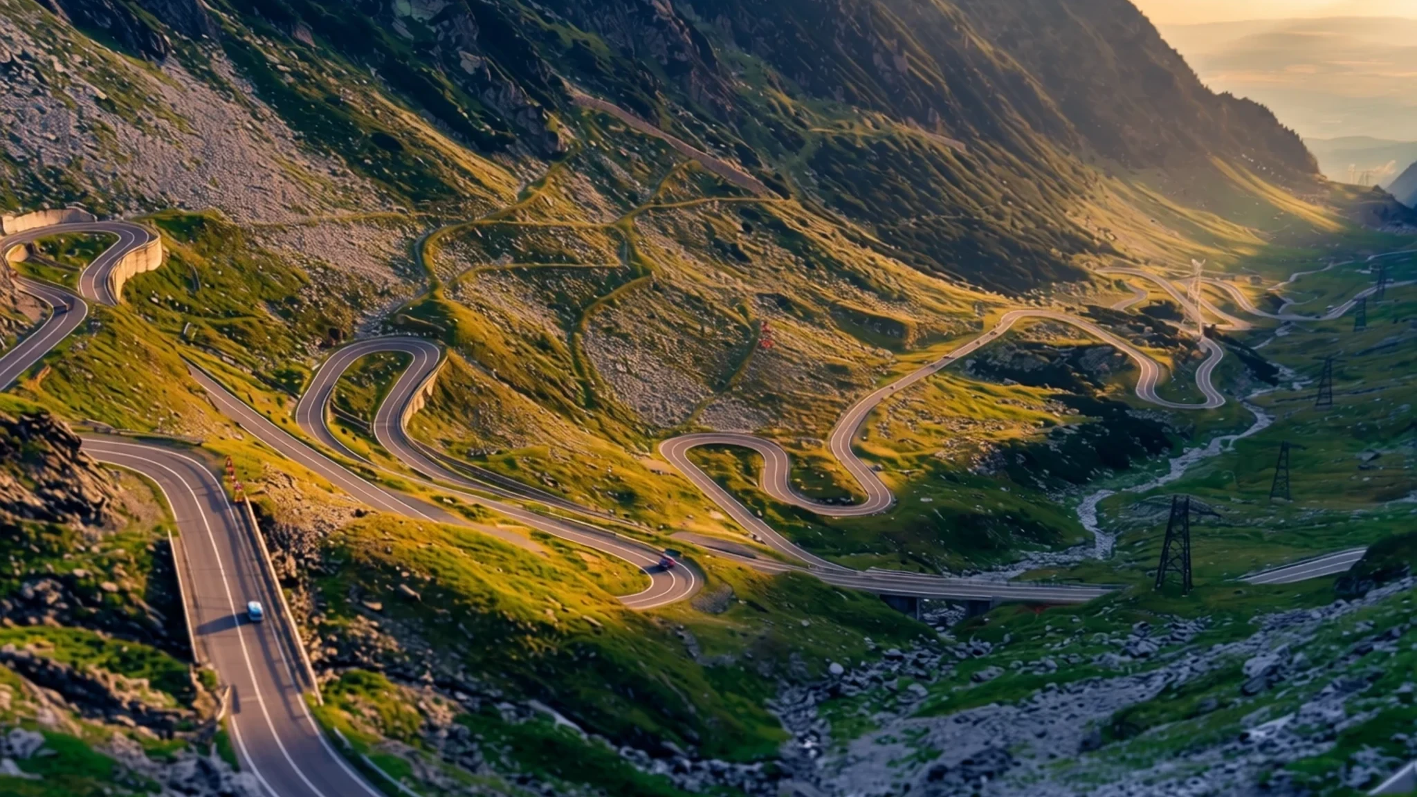
A paved mountain road over the southern Carpathians, with long hairpins, high lakes and a Wallachian royal town at its foot.
The place
The Transfăgărășan is a paved mountain road that crosses the southern Carpathians of Romania, linking the historic regions of Transylvania and Wallachia. Its name joins the Latin-derived prefix trans, meaning across, with Făgăraș, the range it climbs through. It is a national road and ranks as the second-highest paved road in Romania, after the Transalpina. The pass reaches about 2,042 metres, and the road runs roughly 90 km between the country's two highest peaks, Moldoveanu and Negoiu.
Most people come for the drive itself: a long sequence of hairpins, tunnels and sudden views over mountain lakes and bare ridges. Bâlea Lake sits close to the high point and makes a natural place to stop, though lay-bys fill quickly on clear days. Expect slow lorries and camper vans on the steepest bends, and treat the road as a full day's outing rather than a shortcut.
Curtea de Argeș, at the foot of the range, is the best place to break the journey. It was the first capital of Wallachia and keeps some of the most important Byzantine buildings in Romania, including the Princely Church, a 14th-century monument on the UNESCO tentative list. The town lost political weight when the capital moved to Târgoviște, then regained prestige between the wars when its cathedral became a royal necropolis.
Hiking trails near Curtea de Argeș can take many hours, and a full loop may need two days. The terrain is rarely technical but demands stamina, so carry a map, water and a plan for getting back to the start.
Its story
The Transfăgărășan was built between 1970 and 1974 under Nicolae Ceaușescu, as a direct response to the 1968 invasion of Czechoslovakia by the Soviet Union. Ceaușescu wanted quick military access across the mountains should Romania face a similar move. The older crossings ran mostly along river valleys, where an invading force could block or attack them with ease. He therefore ordered a road over the Făgăraș Mountains, which divide north-western Romania from the south.
Military units did most of the building, working in alpine conditions and using a very large quantity of explosives. Many junior soldiers had little training in blasting, and the toll was high. Official records list only 40 soldiers who died, but workers' own estimates run into the hundreds, and the gap between the two figures is still part of how the road is remembered.
The road joins Wallachia to Transylvania, two historic regions long separated by the mountain wall. It was formally opened on 20 September 1974, yet paving of the roadbed continued until 1980. That long tail explains why parts of the surface and verges can still look unfinished. Its strategic origin is visible in the engineering: a wide carriageway carved into the flanks of the range, built to carry heavy vehicles through country that was hard to cross any other way.
What to see
- Curtea de Argeș Monastery — Curtea de Argeș, town centre
The monastery is one of the most celebrated medieval monuments in Wallachia. Its founder, Prince Neagoe Basarab, began it in the early sixteenth century, and its carved exterior and rich interior made it a model for later churches. Allow at least an hour, dress modestly, and check locally whether photography is permitted inside before you lift a camera.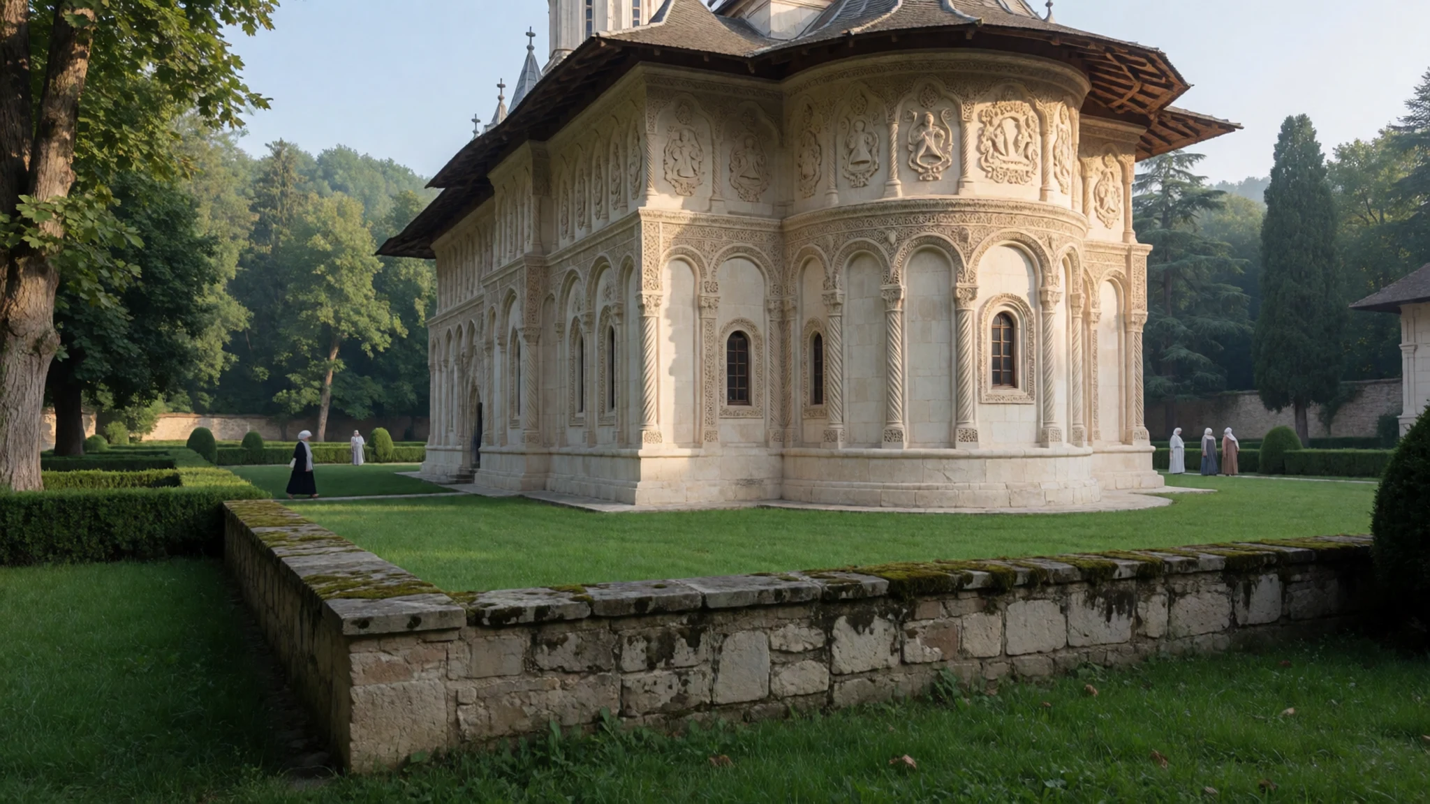
- The Princely Church Saint Nicholas — Curtea de Argeș, within the old princely residence
Built by Prince Basarab I and completed in 1352, this church stands on the site of a thirteenth-century princely residence. Its cross-shaped plan and inscriptions make it one of the most representative monuments of its period in Romania. The building is small, so visit when the paths are quieter to see the frescoes and stonework properly.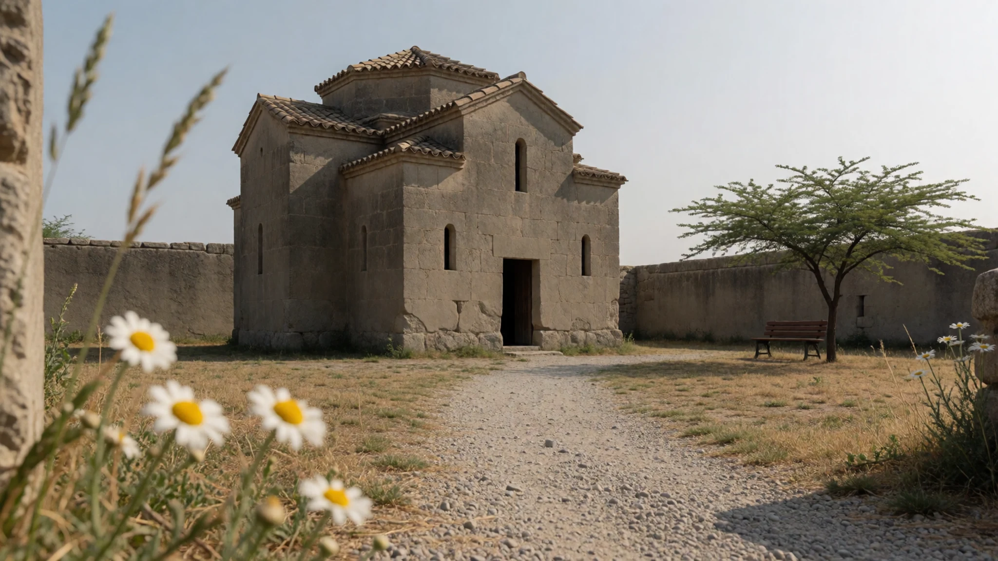
- Manole's Well — Curtea de Argeș, by the monastery
The well is tied to a legend about the monastery's construction. According to the story, the ruler saw the building's splendour and asked the ten craftsmen on its walls whether they could build something finer. It is a short stop, and the tale explains why the monastery is so often described as built with human sacrifice.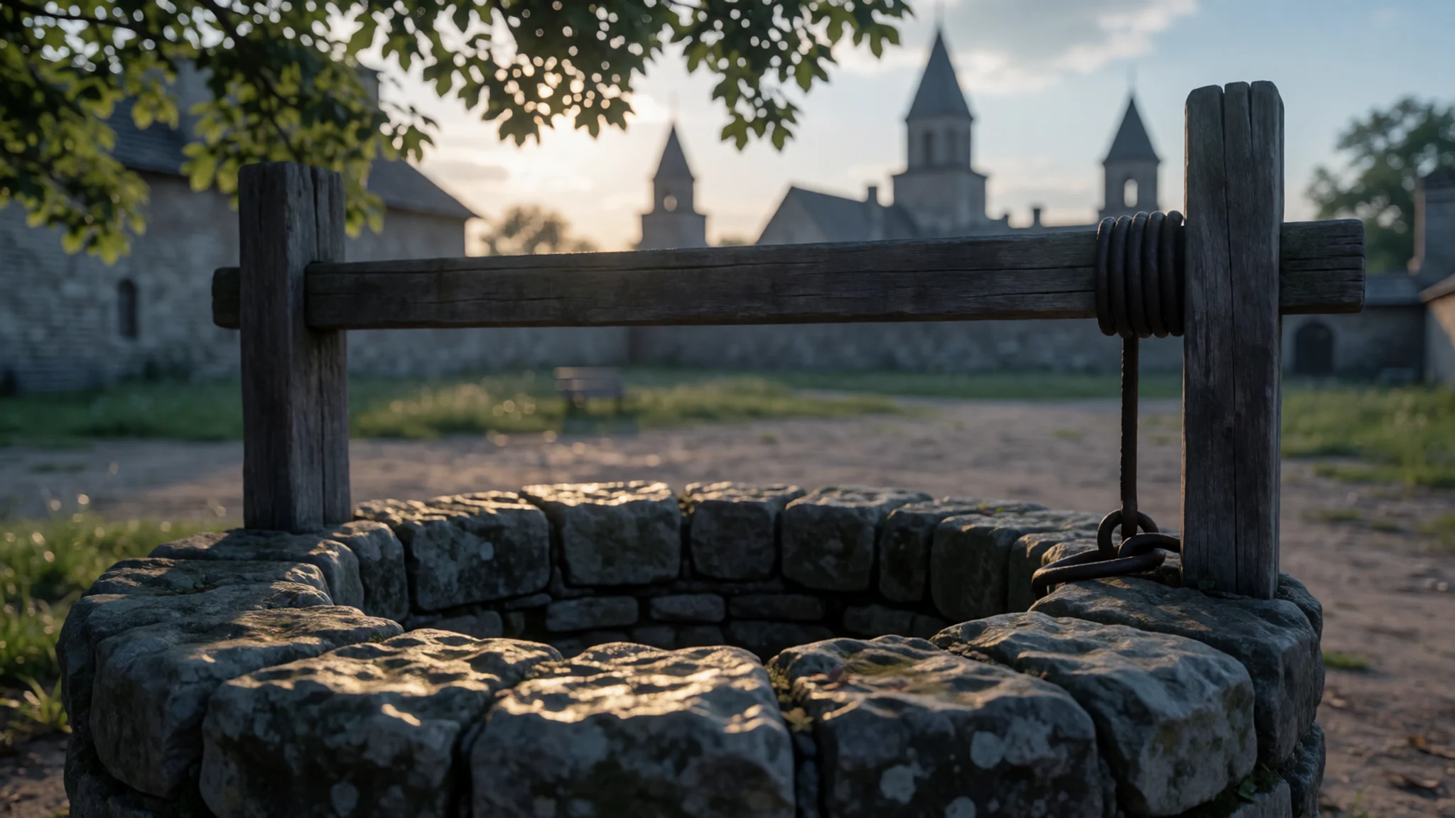
- Episcopal Palace — Curtea de Argeș, near the cathedral
The palace is a late nineteenth-century building in an original architectural style, set beside the episcopal church. It has a chapel that holds the relics of Saint Philofteia. The site is a working church complex, so keep voices low and step back from the entrances during services.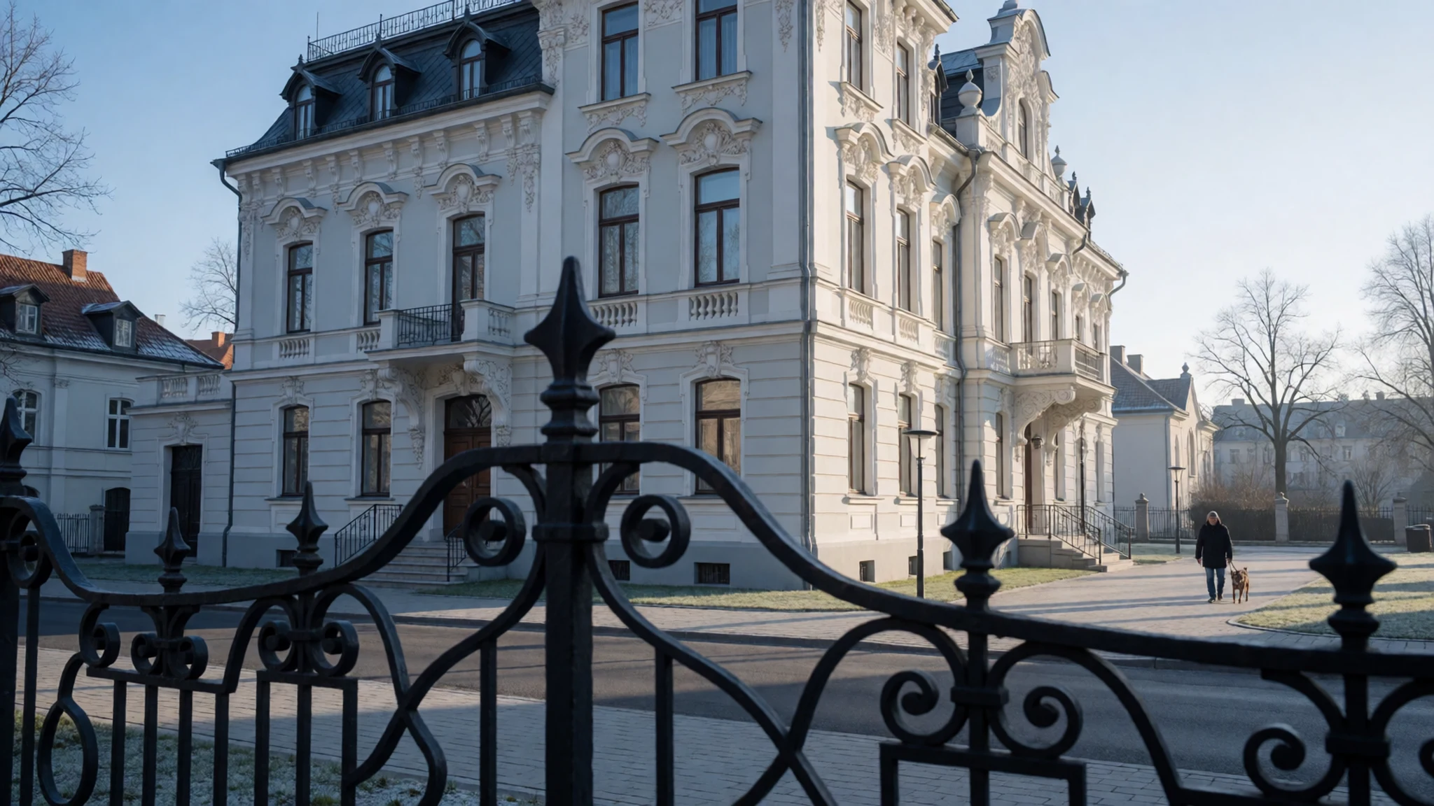
- Norocea House — Curtea de Argeș, town centre
Built in the interwar years by Dumitru Norocea, a painter who also restored the frescoes of the Princely Church, this house is in the Romanian style. Its façade and details show how local architects of the period blended traditional forms with the modern taste of the time. It is a good stop on a walk between the monastery and the old town.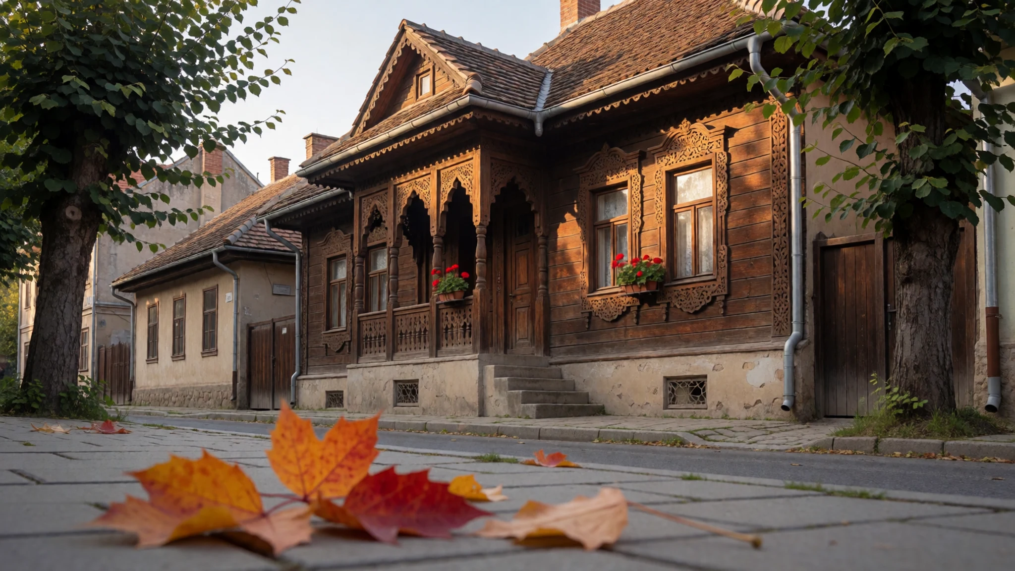
Culture
Curtea de Argeș is a small town where the churches remain in daily use, and the Princely Church and monastery carry real weight for local people. The monastery is a royal necropolis as well as a place of worship, so the atmosphere is one of reverence rather than sightseeing. Many churches in Romania ask women to cover their heads and shoulders, and both men and women should dress modestly at the monastery and on the church steps. Services are often sung, and visitors who arrive during them should stand quietly near the back and avoid walking through the congregation. Along the mountain road, brown bears are part of the landscape, and authorities have blamed tourists for leaving food that drew them close to the road. Never feed bears, and keep food and rubbish sealed in your car.
What to wear
Transfăgărășan is a mountain road, so its traditional dress belongs to the villages of Argeș and the wider Wallachian and Transylvanian countryside it links. The best-known garment is the ie, a women's blouse of white linen or cotton, embroidered at the neck and sleeves in red, black and blue thread, and worn with a woven apron and wool skirt. Men wore linen shirts, wide trousers and a wool waistcoat, and both sexes used woven wool belts. Hand-loomed wool and linen, and embroidery patterns that differ from village to village, are the textiles to look for in the ethnography collection of the Curtea de Argeș City Museum.
Today most people dress like anyone in a European town. Traditional costume comes out for weddings, church festivals and folk events, and it appears in tourist shops as souvenirs. On the road, locals and drivers wear practical jackets, jeans and sturdy boots, which suits the terrain.
For a visit, dress in layers. Weather at the pass can turn cold and wet even in summer, so bring a windproof, waterproof shell, a fleece and footwear with good grip for short walks to viewpoints. In Curtea de Argeș, cover shoulders and knees at the monastery and the Princely Church.
What to eat
- Mici — grill stalls and beer gardens in Pitești, near where the road begins
Grilled rolls of seasoned minced meat, shaped like small sausages and flavoured with garlic, spices and a little bicarbonate. They are eaten with mustard, raw onion and bread, and are a staple of Romanian grill culture. Pitești, close to the road's start, has plenty of stalls.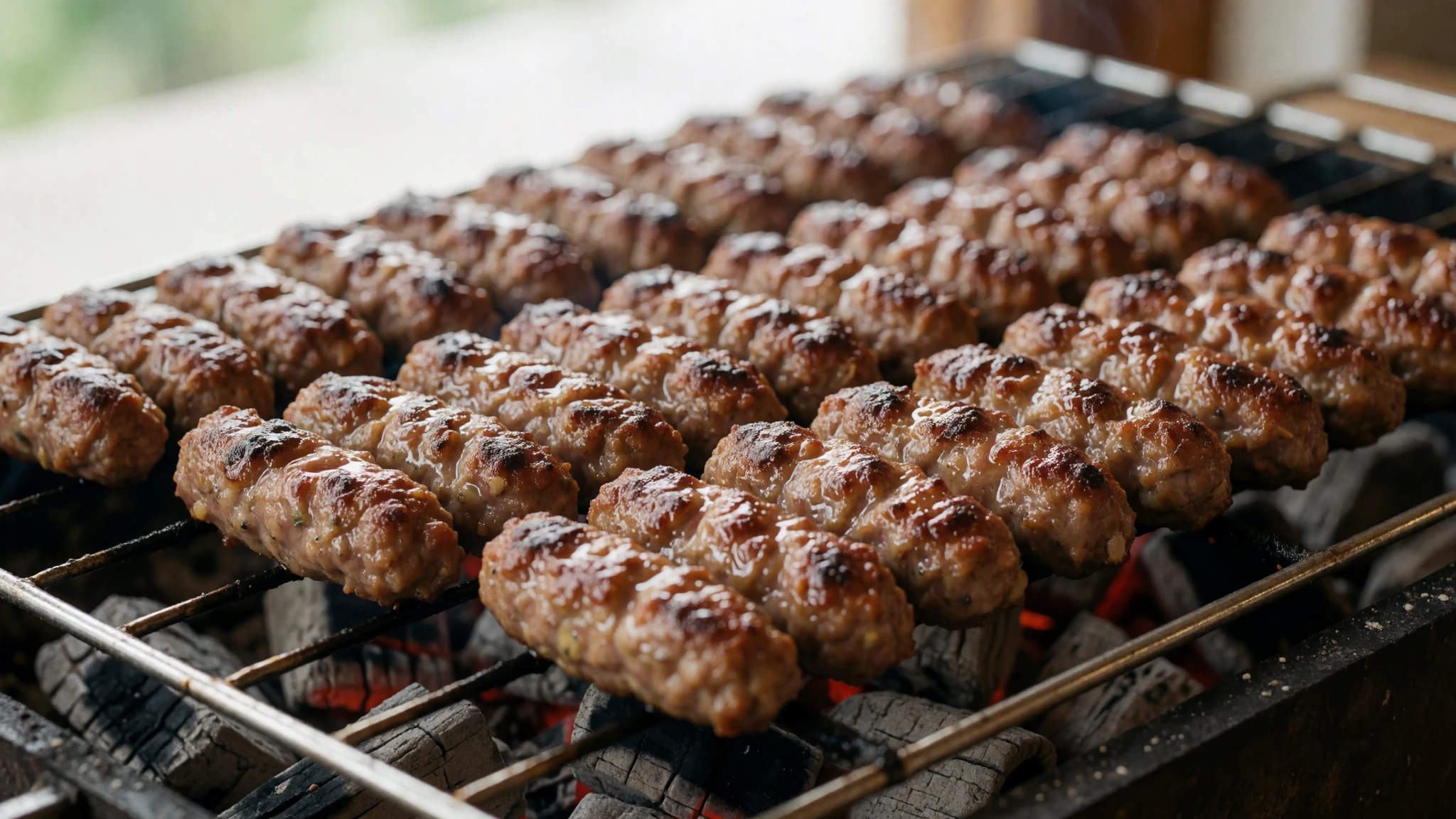
- Mămăligă with telemea and sour cream — family-run eateries and farmhouse tables in the foothills around Curtea de Argeș
Cornmeal porridge, served soft or sliced and fried, topped with salty sheep's-milk cheese and smetana, the local sour cream. It is a village staple and a filling dish for a cold day. Visitors find it in small family eateries rather than in large towns.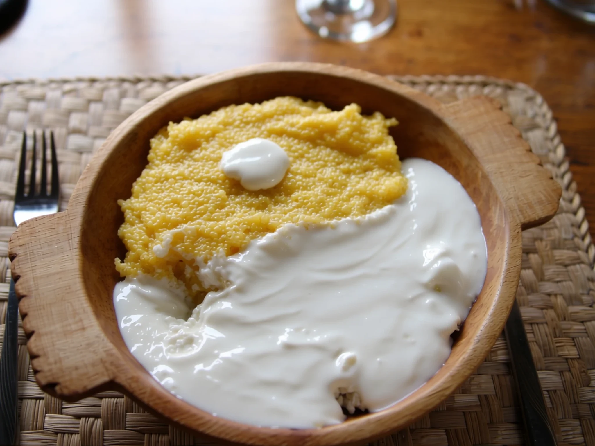
- Ciorbă de burtă — lunchtime tavern counters and local restaurants along the route
A sour tripe soup thickened with egg and sour cream and sharpened with garlic and vinegar. It is a traditional cure for a late night and is served at lunchtime across the region. Order it with fresh bread and a little chilli if you like heat.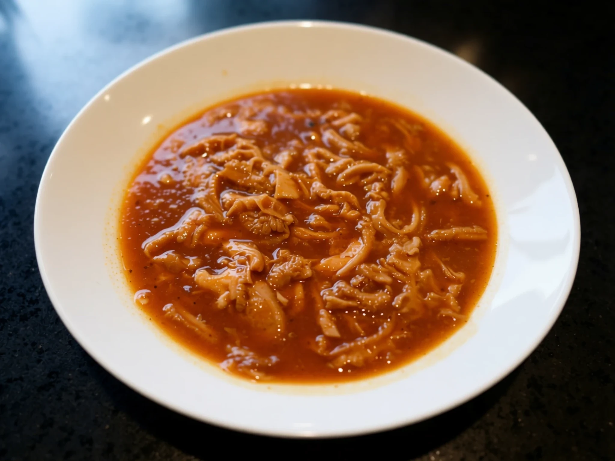
- Papanași — cafés and bakeries in the towns along the route
Soft cheese dough shaped into rounds, fried or baked, and served warm with sour cream and jam. Papanași are a dessert or late breakfast, and the best ones come straight from a café kitchen that makes them to order. - Zacuscă — the morning market in Pitești and village stalls by the roadside
A thick spread of roasted aubergine and sweet peppers, cooked slowly with onion and oil until it is rich and smoky. It is eaten on bread or with cheese. Jars are sold at markets and roadside stalls, and make a sensible thing to take for the road.
Plan it
Best time. July to September: the pass is most likely to be open, the high meadows are green and the days are long, though weekends bring heavy traffic. Snow normally shuts the pass from late October until late June, and it can close even in summer, so check conditions before setting out.
How long. 1–2
Getting there. Fly into Sibiu, about 149 km away, or Bucharest Otopeni, about 162 km away, then hire a car or take a bus. The road begins near Bascov, close to Pitești, which has direct buses and a daily train service; bus journeys to Pitești take about 30 minutes, though timetables can be erratic.
Budget. mid
Tips
- Check that the pass is open before you set out, since snow can close it outside the summer months.
- Start early to avoid the heaviest traffic and to get clearer views at the lakes.
- Fill the tank in Pitești or Curtea de Argeș before the climb.
- Carry cash for roadside stalls and small villages, and a card for larger eateries.
- Pack water and warm layers, because the weather at altitude changes quickly.
- Book accommodation in Curtea de Argeș or Pitești ahead of summer weekends.
Etiquette
- Never feed bears or leave food at roadside stops.
- Use marked lay-bys rather than stopping on the carriageway for photographs.
- Cover shoulders and knees when visiting churches and the monastery.
Nearby
Sources
- Wikidata Q934803 (CC0)
- Wikipedia (rev 1383028269) (CC BY-SA 4.0)
- Wikivoyage (rev 5400696) (CC BY-SA 4.0)
- Photo 01 wide view over the northern Transfagarasan (CC BY 2.5)
- Photo 02 Transfagarasan view towards the north from Balea Lake (CC BY 3.0)
- Photo 03 Transfagarasan (CC BY 2.5)
- Photo 04 Transfagarasan in 1974 (CC BY 3.0)
- Photo 05 Transfagarasan twisty road (CC BY 2.5)
- Photo 06 bear on the southern side of the Transfagarasan (CC BY-SA 4.0)
- Photo 07 southern side of the Transfagarasan (CC BY-SA 4.0)
- Photo 08 northern side of the Transfagarasan (CC BY-SA 4.0)


