Tierra del Fuego National Park
Tierra del Fuego National Park, Argentina
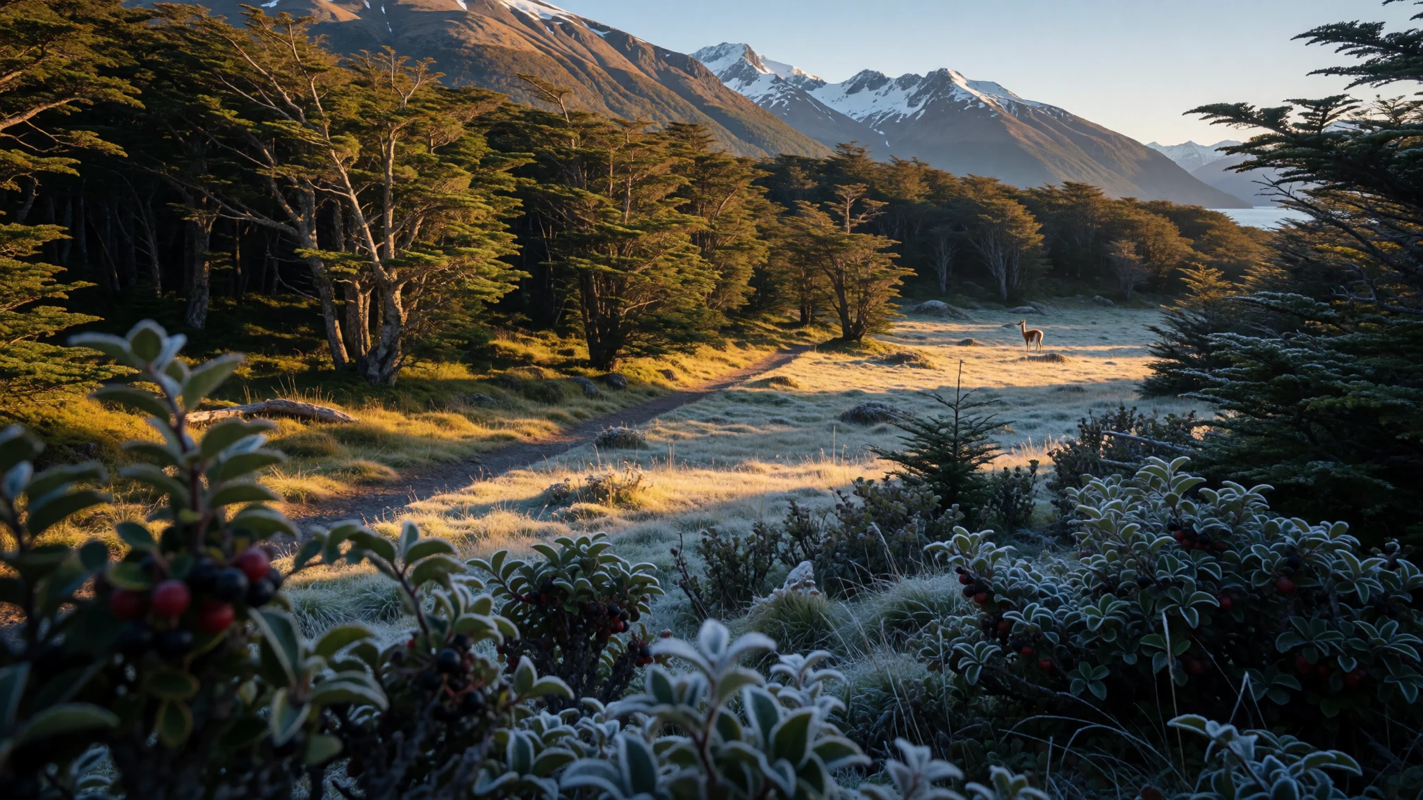
Tierra del Fuego mixes beech forest, icy-looking channels and coastline walks, with wildlife sightings that feel grounded, not staged.
The place
Tierra del Fuego National Park sits on the Argentine side of Isla Grande de Tierra del Fuego, in Tierra del Fuego Province, reaching toward the Chilean border. It’s a place where the landscape keeps changing its mood: forested slopes give way to open water, and the air feels sharper as you get closer to the coast. The park’s elevation is 807 m, so even day walks can come with a chill that arrives fast.
The standout experience is the mix of environments in one region. Lower areas are shaped by Antarctic beech, lenga beech and coihue, and those woods are where many of the animal sightings tend to happen—especially if weather forces everyone to stay on the same paths. The park also includes parts of Fagnano and Roca lakes and stretches roughly northward from the Beagle Channel, so you’re never far from water views.
A key route inside the park is the Senda Costera (Coastal Path), which connects Ensenada Bay to Lapataia Bay on Lago Roca. It’s popular for a reason: it threads through scenery that looks different at different hours, with the light turning from flat and grey to more dramatic when the clouds break.
It helps to arrive with realistic expectations. This isn’t a polished theme-park trail system. It’s wind-and-weather territory, and the best days are the ones where you catch clear spells rather than forcing plans when the sky turns. On busier days you’ll still share viewpoints, but the distances and the cold keep the experience from feeling crowded for long.
Its story
The story of Tierra del Fuego National Park begins long before national parks were even a concept. The Yaghan people—often called Yámana—were living in this southern region in a landscape many outsiders would describe as too harsh to sustain life. Their knowledge came from the sea: they used canoes made from lenga beech, gathered shellfish, and hunted marine life, building their day around what the water and shoreline offered.
European exploration brought a new name for the region. Spanish explorers connected what they saw—campfires along the southern tip—to the idea of “land of the fires”, and that phrase stuck as “Tierra del Fuego”. In the late 19th century, an Anglican missionary arrived and began efforts to convert local communities. Those shifts were followed by growing pressure from settlers and prospectors, including a gold rush that later proved mistaken.
The biggest turning point was disease. As European contact increased, illnesses spread through the region and had a devastating impact on the Yaghan population. That history sits behind the quieter moments of the park: when birds are calling, when wind moves through the forest edge, and when a shoreline walk feels both remote and intensely inhabited by life.
Later, the park itself was created in 1960, giving the landscapes—coasts, forests and mountains—a formal protection framework. Today, visitors arrive for the trails and views, but it’s worth remembering that this is a living place with a long human past as well.
What to see
- Senda Costera (Coastal Path) — Coastline around Lago Roca
Senda Costera links Ensenada Bay to Lapataia Bay on Lago Roca and is the park’s best-known walking line for coastline-and-forest views. Expect shifting weather, short sections that feel deceptively breezy, and plenty of chances to stop and watch water patterns.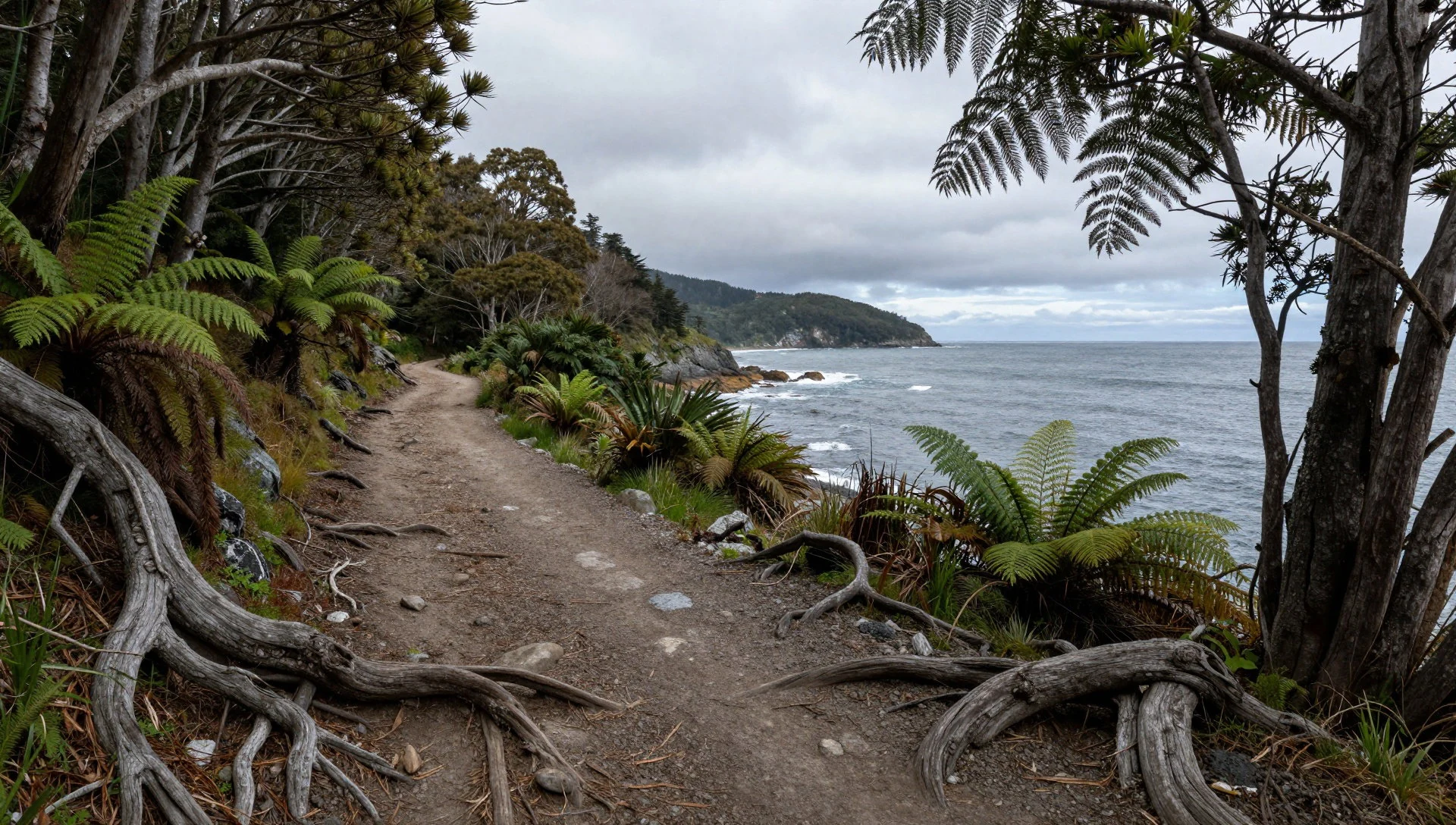
- The Lookout (Lapataia Bay) — Lapataia Bay area
The Lookout walk cuts through lenga forest before opening onto views over Lapataia Bay. It’s a straightforward way to feel the park’s scale without committing to a big day, and the viewpoint tends to reward good visibility—when clouds lift, the water looks very close.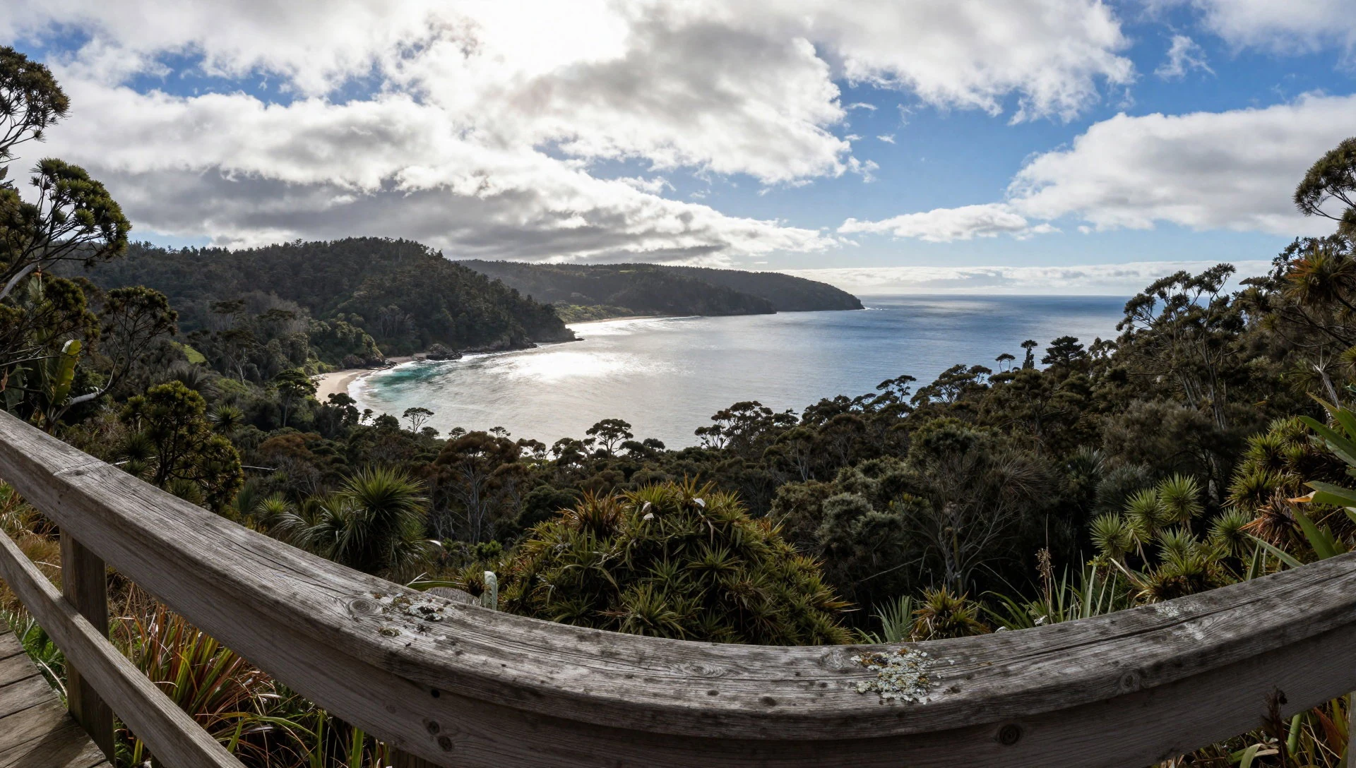
- Acigami Lake (Lago Roca) — Acigami Lake (Lago Roca)
Acigami Lake is a shared-border landscape: it’s the last Argentinian strip inside the national park, opposite Chile. Even when it’s busy, the flora and fauna around the lake make it feel alive, with watchable shore activity and big, moody sky scenes.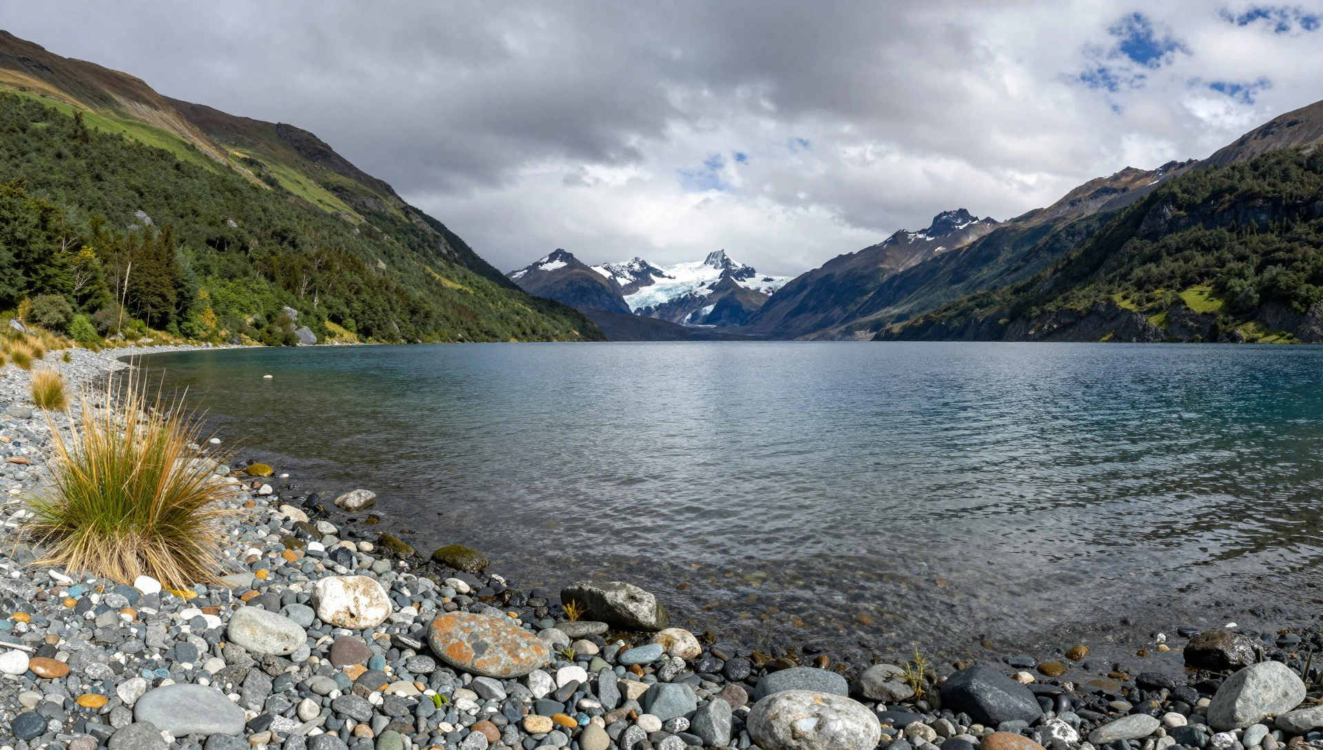
- Castorera (beaver ponds) — Visitor-centre zone
Castorera is a short walk to ponds created by beavers and the visible effects of their presence after introduction. The site is interesting even for non-birders: you’re basically walking through a miniature, water-shaped habitat where small changes are obvious.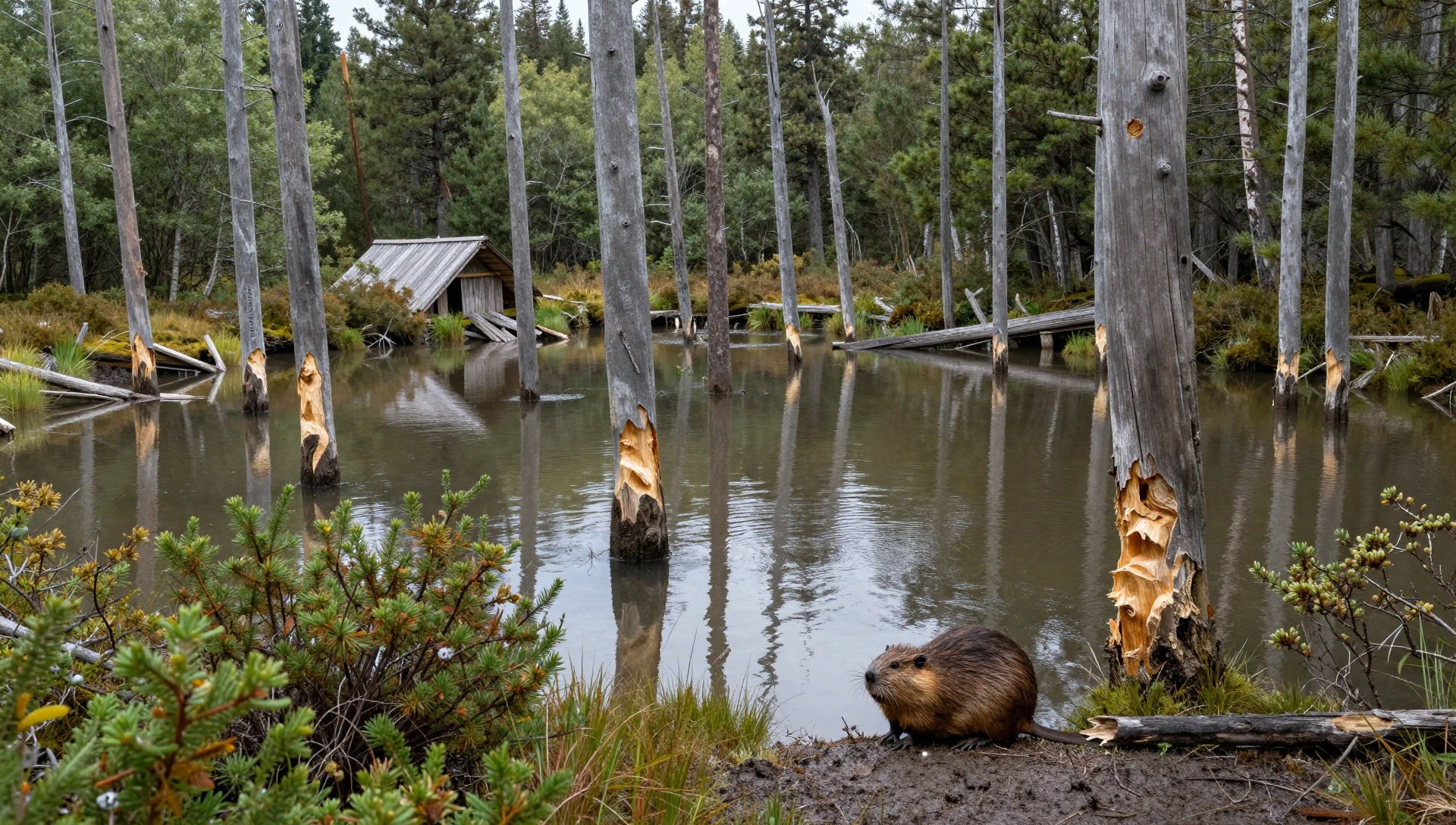
- Hito XXIV trail (border marker) — North shore of Lago Acigami
The Hito XXIV trail follows the north shore of Lago Acigami along the Argentina–Chile border. It suits hikers who like long, steady walking with a clear directional line, plus the satisfaction of seeing how landscape becomes boundary.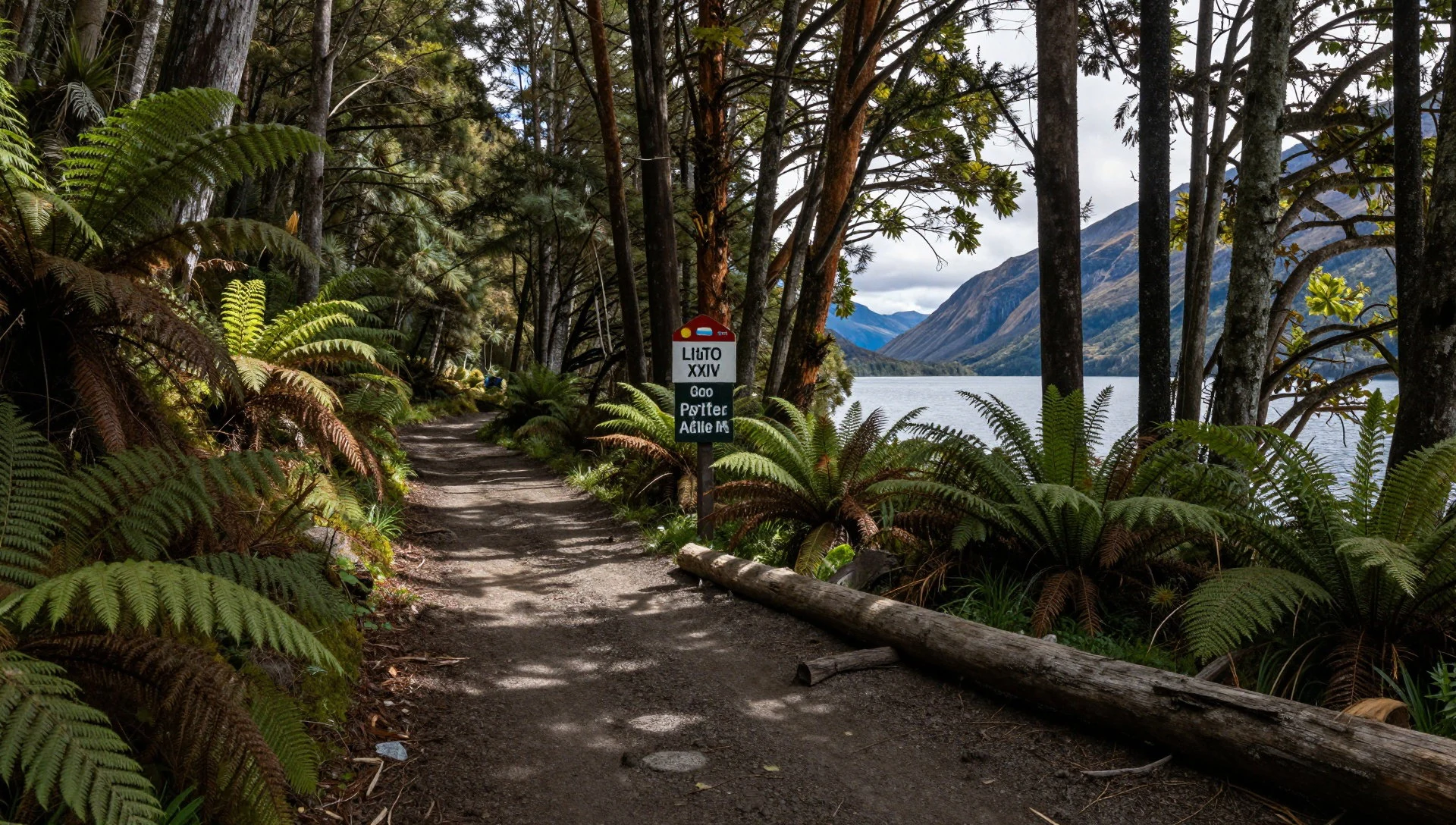
Culture
Tierra del Fuego National Park is a mountain-and-forest destination where weather is the main “activity”. In practice, that means tours often bunch up around the easiest walks and viewpoints, and the most comfortable people are the ones dressed for wind, rain and cold that can turn up without warning. Wildlife watching is usually best from paths and viewpoints rather than trying to get closer, because the park rules are about protecting both animals and habitat.
The park’s cultural layer is also present in the wider history of the island—from the Yaghan people’s long relationship with the sea to later missionary work and the changes that came with European settlement and disease. In the park, you don’t need a lecture to feel the significance; it’s there in the quiet endurance of the landscape.
Practical etiquette matters too. Keep to marked trails so vegetation recovers, and respect the border nature of some areas, where you might see markers and notices that signal the international boundary.
Visitor etiquette: Stay on designated paths, keep your voice down near wildlife, and don’t approach animals or feeding areas.
What to wear
In Tierra del Fuego National Park, fashion is mostly about staying warm and dry in fast-changing conditions. There isn’t a single “traditional” visitor uniform, so most people lean on Patagonia-style layering: a base layer for insulation, a mid layer for warmth, and a waterproof outer shell for wind and drizzle. Expect cold even when daylight feels bright, especially around exposed viewpoints and coastal stretches.
Local textiles aren’t the main point here for most visitors, but the practical takeaway is the same as in many cold, windy regions: wind-blocking matters as much as warmth. Good walking boots with proper grip are a bigger priority than trendy trainers because trails can be muddy and uneven. Gloves and a hat are not overkill—hands get numb quickly when you pause for photos.
For religious or ceremonial sites (if you add stops in Ushuaia), dress modestly and avoid wearing anything too thin or revealing, but in the park itself the key rule is comfort for weather.
Visitor-style checklist: waterproof jacket and trousers, warm layers, gloves and hat, and sturdy boots with traction for slippery, wet ground.
What to eat
- Hot drinks at La Confiteria — Near the bus stop area for park transport in Ushuaia
La Confiteria is a small stop near where many buses pick up and drop off, and it serves hot and cold drinks. On cold, windy days, that warm cup is genuinely functional rather than just a treat.
- Sweets and chocolate at La Confiteria — La Confiteria cafe near park bus departures in Ushuaia
La Confiteria also sells sweets and chocolate, plus a few basic snacks. It’s an easy way to top up energy before a longer walk or to reward yourself when the weather keeps changing.
- Snacks and basic bites at La Confiteria — La Confiteria cafe near park transport
For something quick that doesn’t require searching around, La Confiteria offers basic snacks alongside drinks. It’s the sort of place you go to minimise time spent outside when conditions turn. - Restaurant meal near Acigami Lake — Near Acigami Lake
There’s a restaurant near Acigami Lake, handy if you plan a longer day and want a proper sit-down rather than only café snacks. It also works as a warm break once you’ve finished the shoreline walking.
Plan it
Best time. March–April and October–November, when conditions are generally more comfortable for walking; winter and deep spring can still feel severe, and the shoulder months often give better daylight for trails.
How long. 2–3
Getting there. From Ushuaia, the usual access is via the Argentine side of the island: the park is about 12 km west along National Route 3. Most visitors go by bus from Ushuaia or reach the visitor centre by the Tren del Fin del Mundo, then walk from the drop-off points.
Budget. mid
Tips
- Book park admission in advance via the Argentina National Parks website before you commit to a day trip.
- If weather looks solid, start the longest walks early so you aren’t racing the windier hours later.
- Pack waterproof layers even on “clear” mornings; conditions can shift quickly in coastal Patagonia.
- Use a mix of shorter trails and one longer route so the day still works if visibility drops.
- There is no lodging inside the park, so plan meals and rest around Ushuaia or day-trip timing.
Etiquette
- Do not hike up the mountain alone.
- Keep fires only in designated areas and fully extinguish them before leaving.
- Do not feed wild animals and do not bring pets into the park.
Nearby
Sources
- Wikidata Q828709 (CC0)
- Wikipedia (rev 1362942341) (CC BY-SA 4.0)
- Wikivoyage (rev 5210438) (CC BY-SA 4.0)
- Photo photos/01-pn-tierra-del-fuego-view-costera.jpg (CC BY-SA 2.0)
- Photo photos/02-emblema-parque-nacional-tierra-del-fuego.jpg (CC BY-SA 2.0)
- Photo photos/03-escalonadas-lakes.jpg (CC BY 3.0)
- Photo photos/04-parque-nacional-tierra-del-fuego-argentina.jpg (CC BY 2.5)
- Photo photos/05-drimys-winteri.jpg (CC BY 3.0)
- Photo photos/06-nothofagus-pumilio.jpg (Public domain)
- Photo photos/07-nothofagus-betuloides.jpg (Public domain)
- Photo photos/08-calafate-berberis-buxifolia.jpg (CC BY-SA 2.5)


