Thingvellir National Park
Thingvellir National Park, Iceland
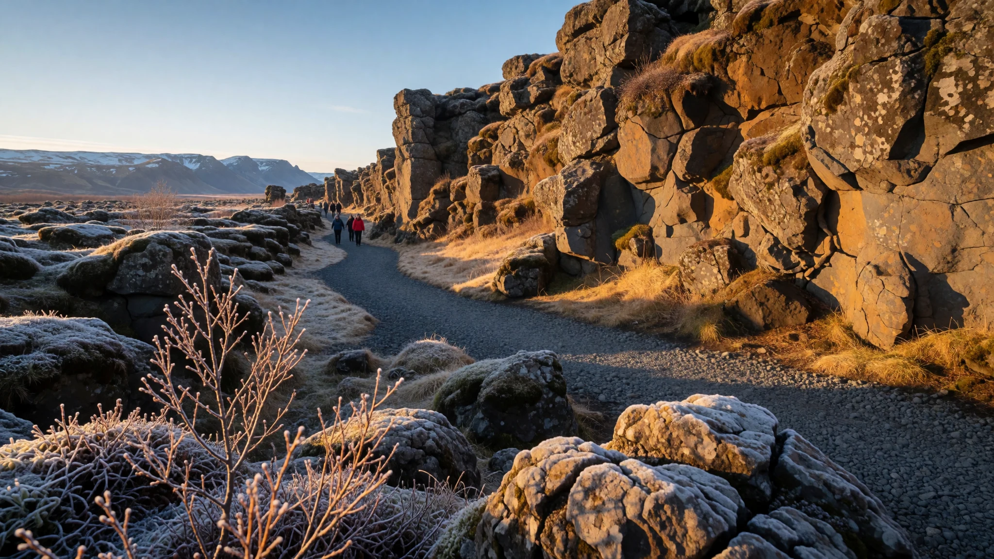
Go to Þingvellir for rift-valley landscapes where Iceland’s continental plates, old law-making, and clear water all meet.
The place
Thingvellir National Park (Þingvellir) sits in the southwestern Icelandic countryside, in the municipality of Bláskógabyggð, roughly an hour’s trip from Reykjavík by road. The setting is what makes it stick in the mind: a rift valley with dramatic fault lines, open views down into the gorge, and stretches of rock that look otherworldly even in daylight.
This is a park with two identities. One is geological—Þingvellir marks where the North American and Eurasian plates are pulling apart, and you can see the effects in the cracks and faults that run through the area. Some rifts hold clear water, and the ground feels like it’s been “edited” by movement over long timescales.
The other identity is historical. Þingvellir was the location of the Alþing, Iceland’s annual parliament, and the landscape was shaped by centuries of assembly life. Today, there may not be visible remains of the old gathering site, but the visitor centre and signposted areas help connect the geography to the story.
In practice, it’s easy to visit but not always easy to stroll slowly. Popular viewpoints can get busy in summer, and weather changes quickly—wind can bite and paths can be slippery after rain. Still, the combination of accessible walkways, interpretive displays, and nearby adventure activities (like water-based diving and snorkelling) makes Þingvellir one of the most rewarding stops on an Iceland itinerary.
Its story
Thingvellir became a national park through legislation designed to protect the parliament site’s remains, with the aim that the place would stay with the Icelandic nation rather than be sold or mortgaged. That intent still comes through in how the park is arranged today: the focus is less on crumbling ruins and more on understanding why this ground mattered.
The Alþing itself became the annual meeting point for Icelanders, and Þingvellir’s central location within the island’s political life turned the landscape into a shared stage. Over time, the physical setting—valley, faults, and water—became part of how people imagined order, decision-making and community.
The park’s deeper context is also about settlement. Records such as the Book of Settlements describe how Iceland’s early communities organised themselves, and how the need for a general assembly grew as power and regional influence changed. The story behind choosing the location involves local authority disputes, land taken into public use, and the practical reality of holding assemblies and supporting temporary stays.
So while Þingvellir can feel like an open-air geology lesson, it’s really a place where natural forces and human systems have been entangled for a very long time. Even when the day’s crowds move through quickly, the calm of the rift valley and the way the visitor information pieces the history together make the park feel layered rather than just scenic.
What to see
- Old parliament site area — Near the visitor centre and the outlook by Hakið
Thingvellir’s old parliament site is marked more by signposts and interpretation than by dramatic ruins. The visitor centre and nearby viewpoints give a grounded feel for where gatherings happened, even when the original structures aren’t obvious on foot.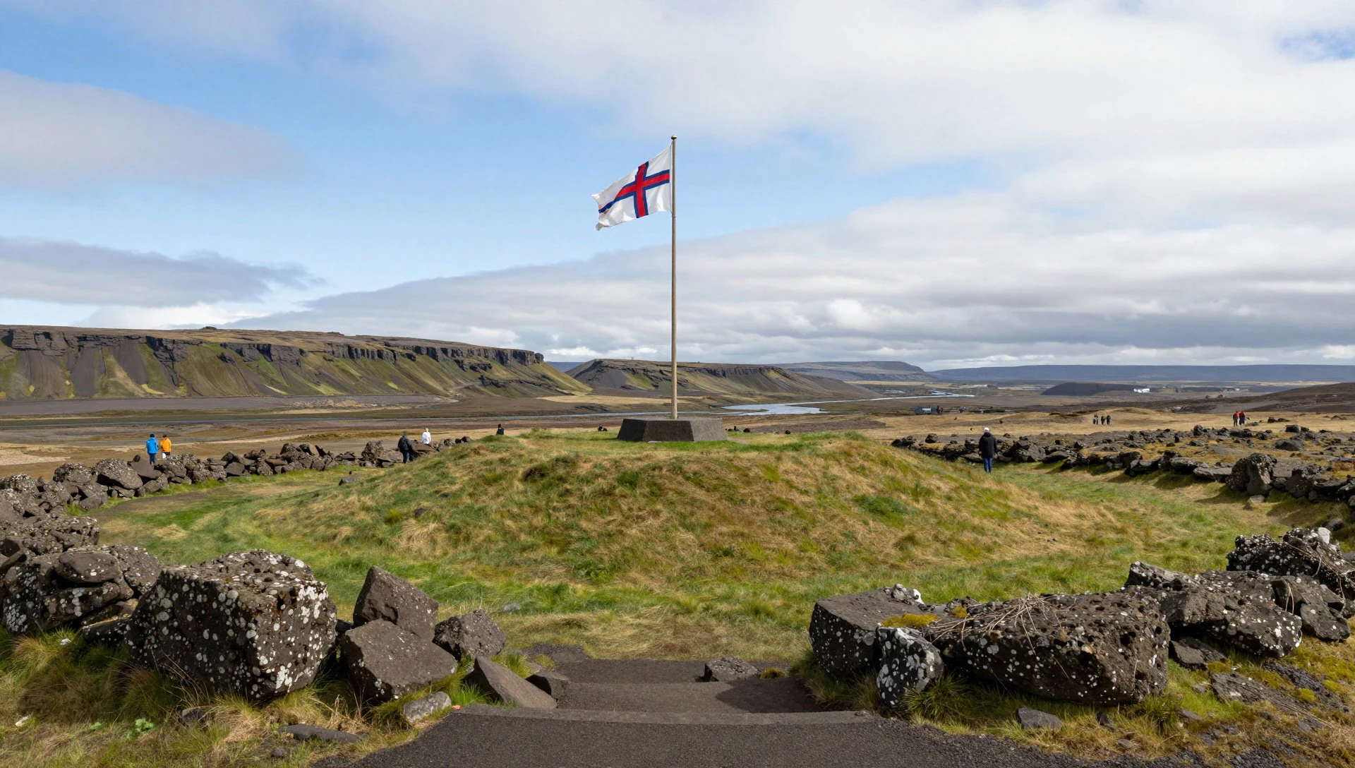
- Almannagjá fault canyon viewpoints — Along the main footpath down towards the great Almannagjá fault
Almannagjá is the big fault line running through the park, and the outlooks are the best place to sense scale. The ground breaks into a canyon-like gap, with a clear ‘fault’ feeling rather than just a rocky crack, especially from marked paths.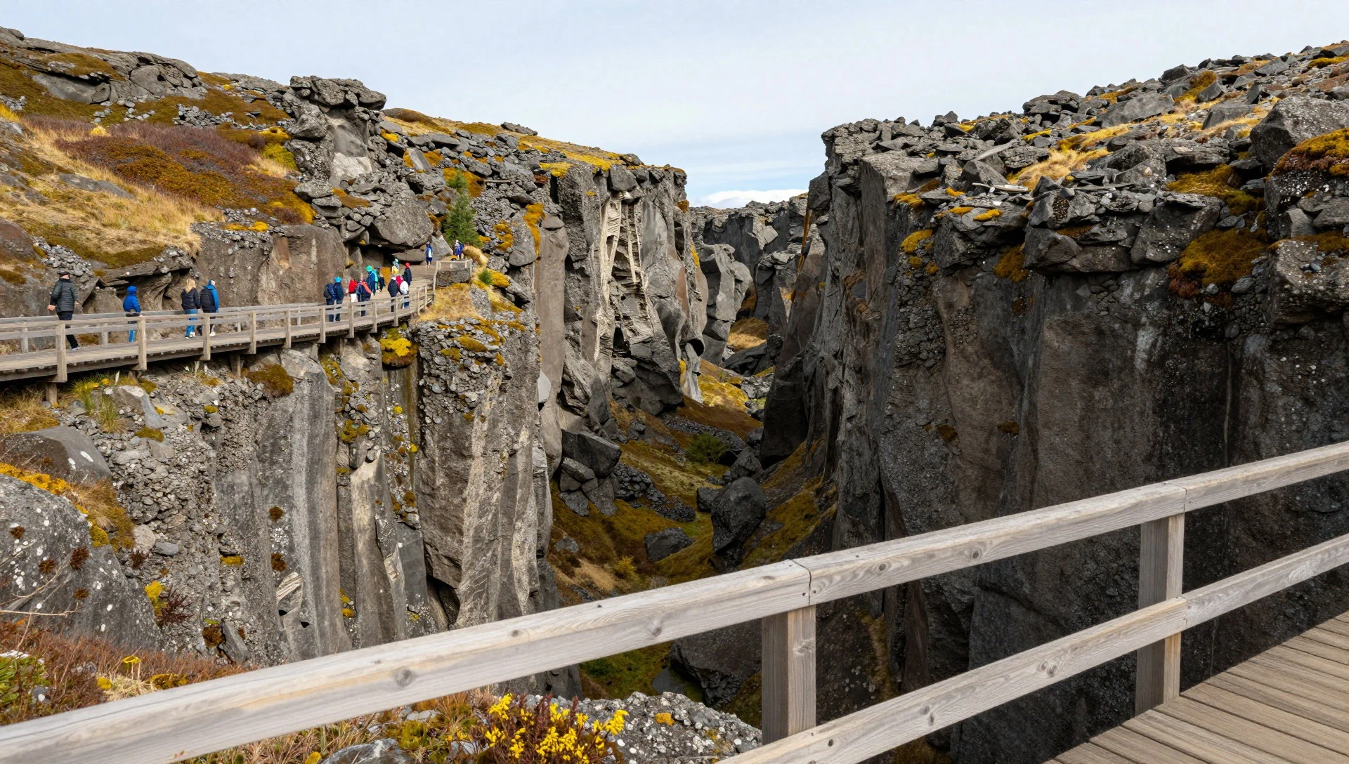
- Hakið footpath and visitor-centre outlook — Visitor centre / Hakið area
The visitor centre sits close to the view spot at Hakið. From there, a footpath drops towards the fault area, and the displays help connect what visitors see—cracks, water and landforms—to the park’s history and nature.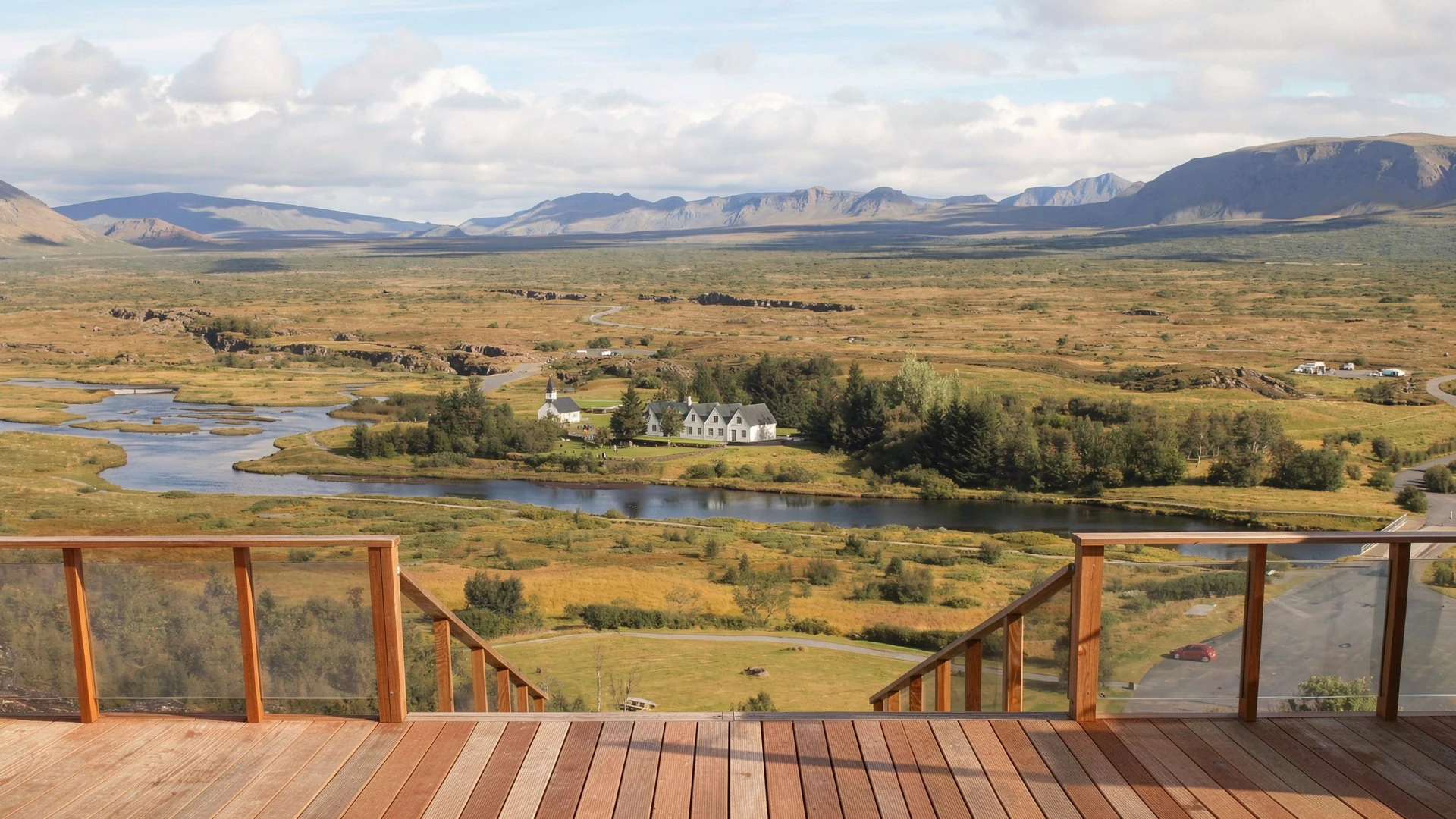
- Öxarárfoss waterfall — Near the main park trail routes around the parliament area
Öxarárfoss is the park’s waterfall drop, reached on easy routes from the main areas. It’s a handy stop when you want a concrete ‘walk-and-see’ break between viewpoints, with water sound cutting through the wind.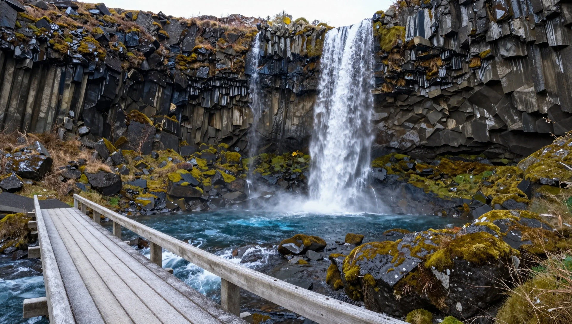
- Silfra snorkelling and diving — Silfra Lake area inside the park
Silfra is where water-based visits really stand out: snorkelling and diving in a rift between tectonic plates can offer unusually clear views underwater. If there’s one area to plan around for a timed slot, it’s Silfra.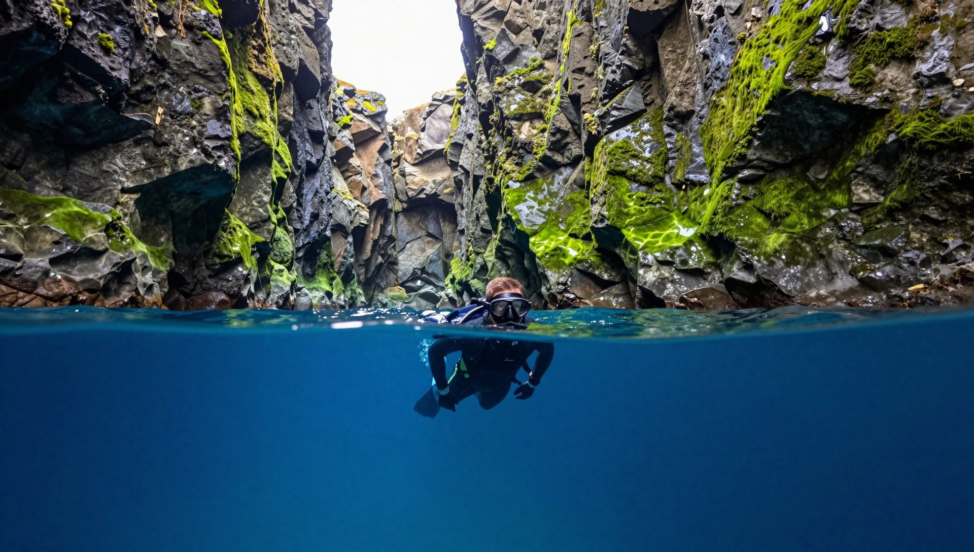
- Flosagjá canyon — Canyon walk areas around Flosagjá
Flosagjá is a canyon landscape within Þingvellir that adds variety beyond the best-known main fault views. It suits slower walking, with a chance to take in the ‘cracked ground’ feel from another angle of the park’s fault-and-rift story.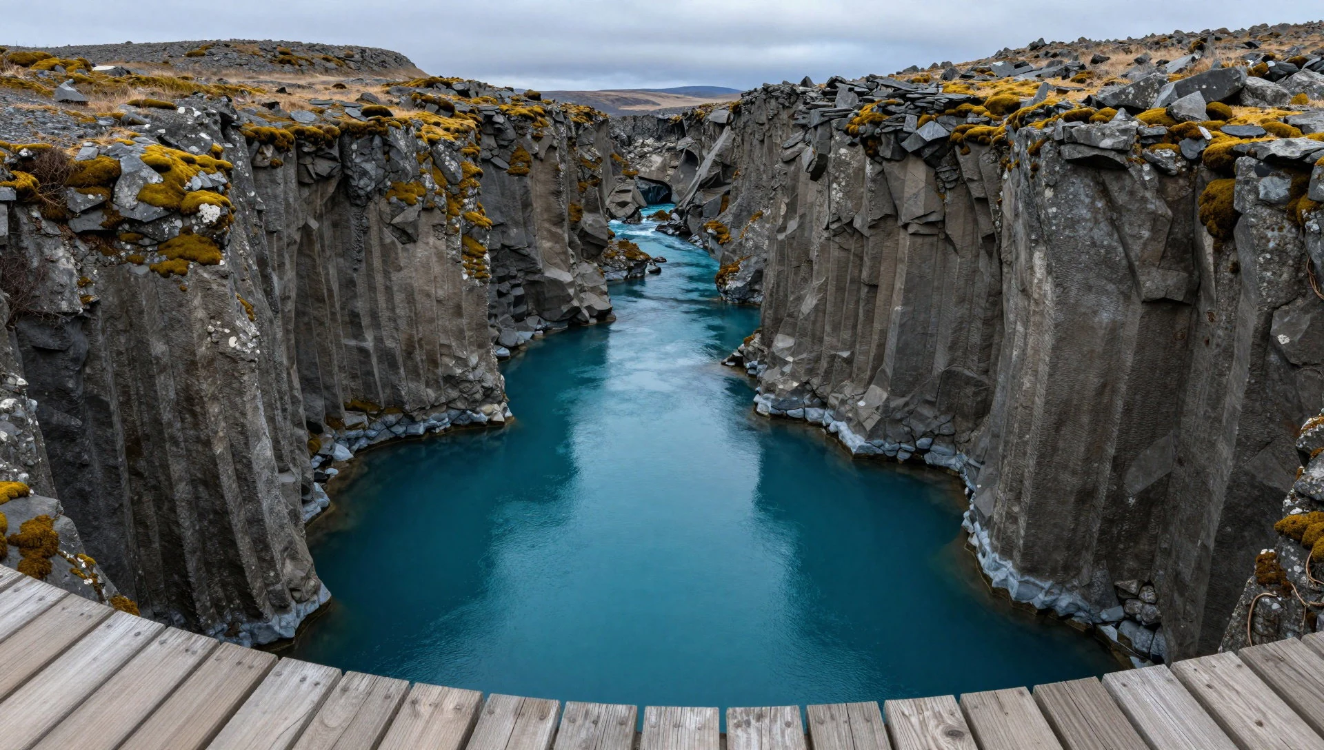
Culture
Thingvellir National Park is a geology-and-history space, so the etiquette is mostly about respect for the ground and for other visitors. The park includes areas where fissures and fault edges are right there beside footpaths, and it can be tempting to lean in for photos. Don’t—rocks near the edge can be unstable, and crowds often compress behaviour into shortcuts around the safest route.
If you’re visiting during the peak season, expect busy viewpoints near the visitor centre and popular fault outlooks. The best way to avoid stress is to arrive earlier in the day and keep to the marked paths when you move between viewpoints and toilets.
For water activities, treat the canyon and lake environment carefully: stick to instructions from your diving or snorkelling operator and keep your gear organised so you’re not blocking access. If you’re photographing the landscape, give people time to step aside rather than waiting at arm’s length.
Finally, remember this is a protected site with a strong story connected to the Alþing. It’s not just a walk-in photo spot; it’s a place where the land itself is part of the heritage.
Visitor etiquette: stay on marked trails and keep away from unstable fault edges, especially when taking photos.
What to wear
At Thingvellir National Park, clothes are all about weather and terrain rather than a local dress code. Traditional Icelandic clothing isn’t really what you’ll see on the ground, but you may come across knitted wool items that echo Iceland’s textile heritage—thick wool layers, simple shapes, and practical warmth designed for wind. Those materials are worth thinking about even if your day is jeans-and-a-jumper.
What people actually wear now is usually layered: a warm mid-layer, a windproof outer, and waterproof footwear. Summer can still feel changeable, and winter conditions can be harsher depending on when you go, so dressing in layers is the only reliable strategy. For water activities like snorkelling and diving around Silfra, operators typically handle much of the technical kit; still, bring or plan for a warm set of dry clothes for afterwards.
For a visitor, aim for grip and warmth. Choose waterproof or at least water-resistant shoes with good tread because paths can get wet. Pack a windproof jacket even if the forecast looks mild, and carry gloves or a warm hat if you’re going early or late in the day. If you’re layering, avoid cotton next to the skin—wool and synthetics generally cope better if you get damp from mist or splash zones.
What to eat
- Service Centre café snacks — Service Centre at the park
Inside the Service Centre, a small café serves straightforward, grab-and-go options such as hot dogs, sandwiches, soft drinks, cookies, ice cream and candy—useful for a quick refuel between walks.
- Restaurant and café at the hotel (outskirts area) — On the outskirts of the main attraction area
The hotel on the outskirts of the main attraction has a restaurant and a café for a fuller meal or coffee-style break once you’ve done the main viewpoints.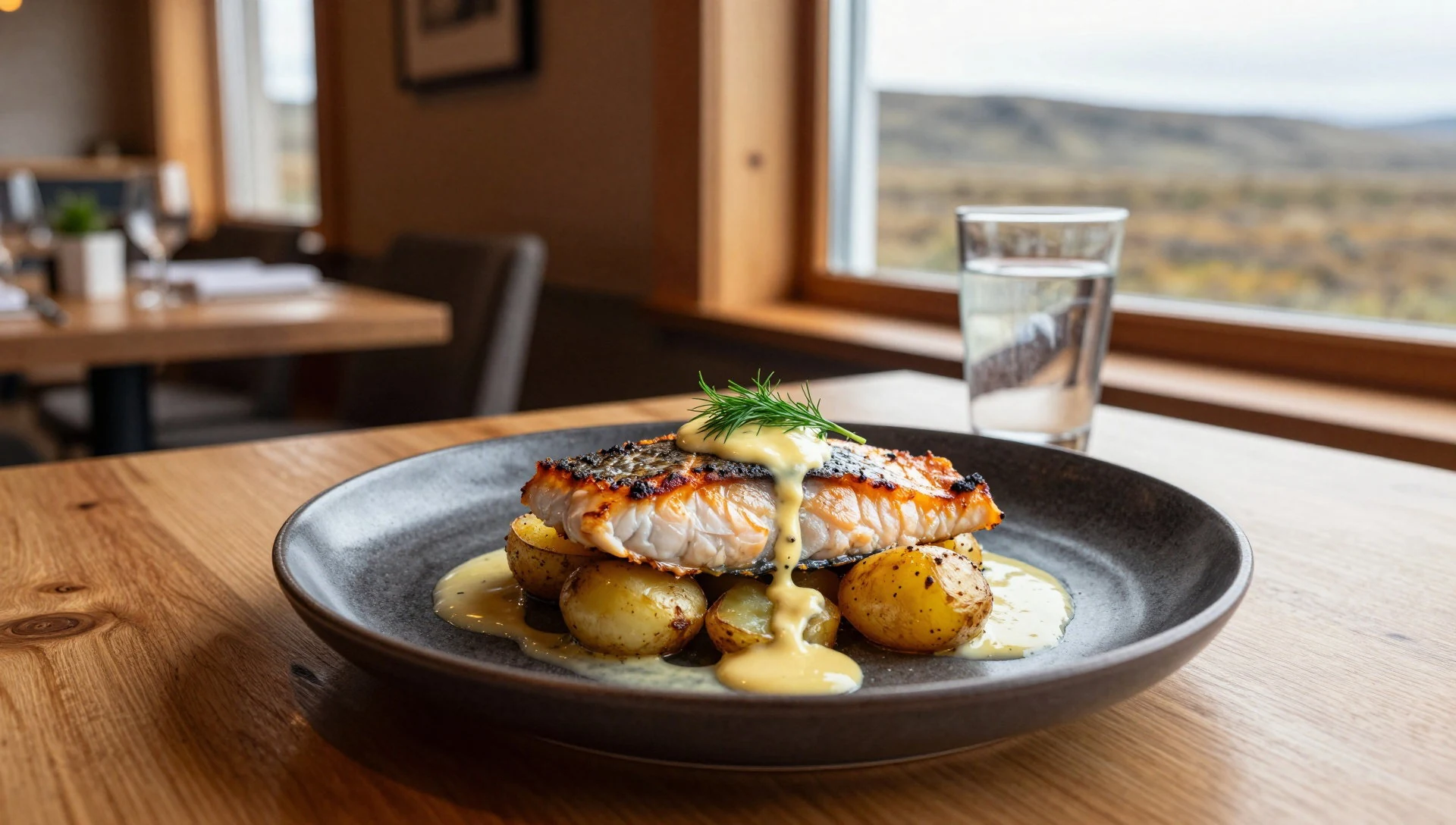
- Book-café stop a few kilometres past the visitor information — Along the route a few kilometres past the visitor information centre (towards the main approach)
A café/book-shop sits a few kilometres beyond the visitor information centre when travelling from the Reykjavík direction, handy for stocking up before longer hikes. - Picnic-style drinks and sweets — Anywhere you find refreshments within the visitor facilities
In and around the main visitor areas, it’s easy to grab chilled drinks and sweet snacks for a park break. There’s no particular rule about when to eat and drink during a visit.
Plan it
Best time. March–April for the clearer spring light, and October–November when days can be cool and less crowded; June is the rainy season and August tends to feel hot and humid.
How long. 2–3
Getting there. From Reykjavík, drive to the park by road; the trip is roughly one hour. If travelling by bus, summer services run from BSÍ in the city centre, then connect locally to the park area.
Budget. mid
Tips
- Start with the visitor centre so the faults and fault-edge viewpoints make sense as you walk
- Plan your main fault views earlier in the day to reduce time spent queuing at busy outlooks
- Wear grippy shoes and keep to marked paths near fissures and fault edges
- If snorkelling or diving in Silfra interests you, book your time slot ahead and schedule it early
Etiquette
- Keep a safe distance from unstable edges near fissures and cracks
- Stick to guided instructions for snorkelling or diving in Silfra
- Give other visitors space when you stop for photos at crowded viewpoints
Nearby
Sources
- Wikidata Q107370 (CC0)
- Wikipedia (Þingvellir) (CC BY-SA 4.0)
- Wikivoyage (Þingvellir National Park) (CC BY-SA 4.0)
- Photo photos/01-thingvellir.jpg (CC BY-SA 4.0)
- Photo photos/02-ingvellir-from-the-information-centre.jpg (CC BY 3.0)
- Photo photos/03-world-heritage-plaque-at-ingvellir-national-park.jpg (CC BY-SA 4.0)
- Photo photos/04-ca-n-silfra-parque-nacional-de-ingvellir-su-urland-islandia-.jpg (CC BY-SA 4.0)
- Photo photos/05-scuba-silfra.jpg (Public domain)
- Photo photos/06-ca-n-flosagja-parque-nacional-de-ingvellir-su-urland-islandi.jpg (CC BY-SA 4.0)
- Photo photos/07-xar-rfoss-parque-nacional-de-ingvellir-su-urland-islandia-20.jpg (CC BY-SA 4.0)
- Photo photos/08-painting-of-ingvellir.jpg (CC BY-SA 4.0)


