Swiss National Park
Swiss National Park, Switzerland
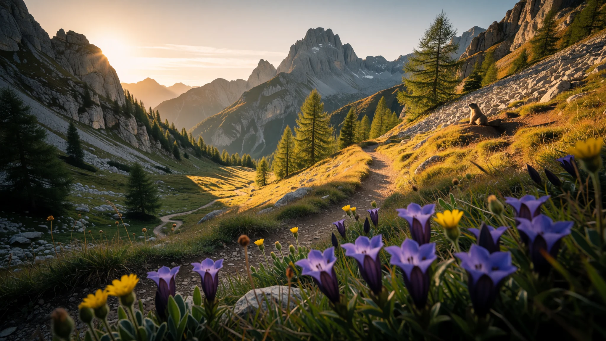
Swiss National Park is a strict, high-protection alpine landscape where nature comes first and the trails are the main event.
The place
Swiss National Park sits in eastern Switzerland’s Engadin valley, within Graubünden, tucked between Zernez, S-chanf, Scuol and the Fuorn Pass (Ofenpass). The park’s core idea is simple: keep the wilderness functioning as naturally as possible, which is why the rules are serious—marked paths are for walking, and overnight stays are only allowed in the mountain hut (Chamanna Cluozza).
What that means on the ground is very different from many “walk and wander” parks. The landscape is made for hiking—valleys to higher ground, forested sections, open views, and the feeling that you’re stepping into a managed wild zone rather than a leisure theme park. Alpine marmots are a frequent presence, and wildlife spotting tends to happen quietly, more like a roll of the dice than a sightseeing checklist.
Swiss National Park was founded in 1914, and it’s known as the oldest national park in the Alps and Central Europe. Practically, the park is designed around a network of marked routes, so you can choose shorter outings or longer days without needing a car to “see everything”. A visitor centre in Zernez helps you orient yourself before you head in.
The best part is the atmosphere: mornings are crisp, the light changes fast with altitude, and even familiar-looking paths can feel new because weather and season reshape the valley. Visitor numbers aren’t something to bank on—on many days you’ll still feel the park’s quiet, high-protection pace rather than a city-style rush.
Its story
Swiss National Park’s origin story is about protecting a place that was increasingly being changed by agriculture. In the early 1900s, Swiss countryside was being heavily cultivated, and interest grew in setting aside land to let nature recover and persist. Planning moved from idea to action with a committee looking for a suitable location; the area around the Fuorn Pass was chosen for its remoteness and the variety of plant and animal life.
Before the park opened, supporters worked with local authorities to secure access to the Val Cluozza for a long lease, building momentum through early visits and backing from national decision-makers. When Swiss National Park opened on Swiss National Day in 1 August 1914, it marked a shift from seeing the mountains mainly as usable space to treating them as something worth safeguarding. Over time, the financial burden moved from private support to the Swiss federal government.
Not every area fit the final map. In 1936, the Val Tavrü was taken out of the park following a local request. Later, in 1959, the park’s legal structure was reorganised through federal law, extending the leases indefinitely and restricting certain kinds of development, including high-voltage lines running through the protected area.
Today the story still shapes day-to-day rules: staying on marked paths, not bringing dogs, and respecting limited overnight options all exist to keep the park’s strict character. It’s history you feel in the quiet, disciplined way people move through the valleys.
What to see
- Macun lakes hike
Macun lakes are reached by a longer outing through mountain terrain. As you climb, views open up and the route suits strong legs and a slow pace.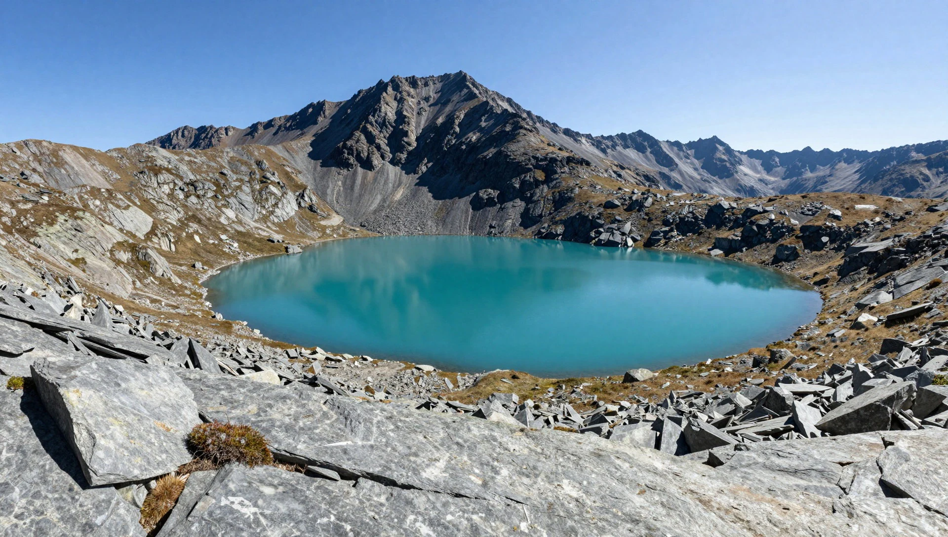
- Valley walk to the park’s quieter trails
A valley walk can be a gentler choice through more sheltered sections, letting you enjoy the park’s atmosphere without every minute feeling steep. Expect an easygoing rhythm with quiet wildlife moments along the way.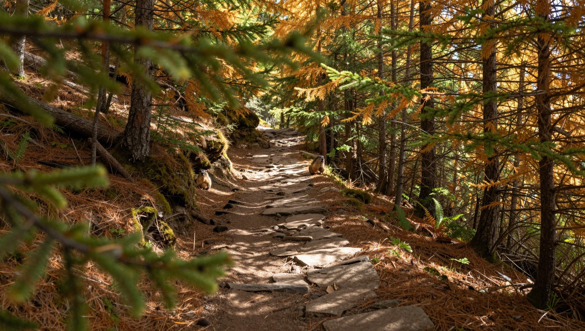
- Fuorcla Val Sassa pass route
Fuorcla Val Sassa is a pass option that works well as part of a longer day when you want variety. As you approach higher ground, the terrain opens up and weather awareness matters.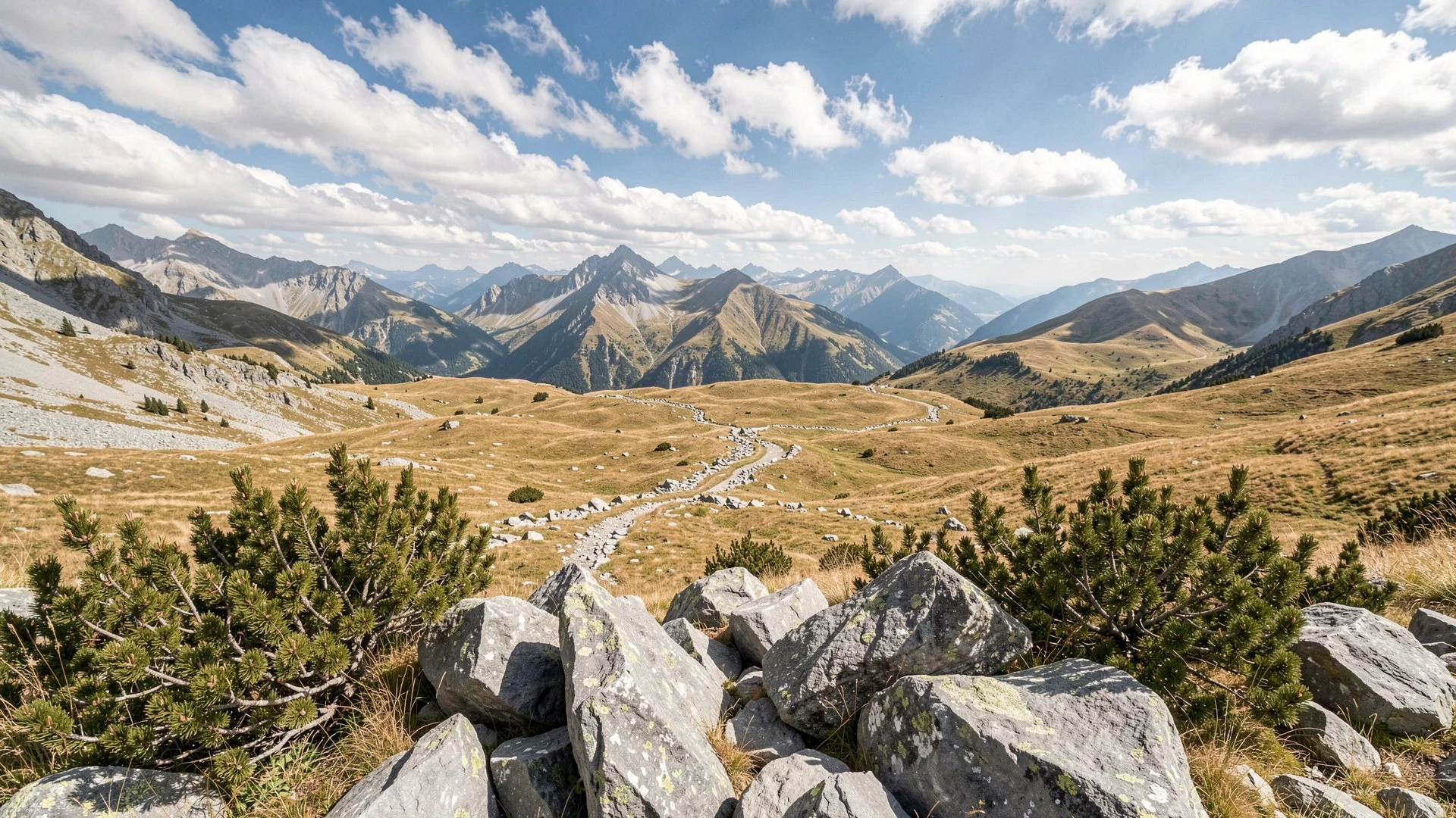
- Murter saddle
High saddle viewpoints are a good way to get that sense of altitude without committing to the longest hikes. Bring layers; wind can pick up near exposed sections.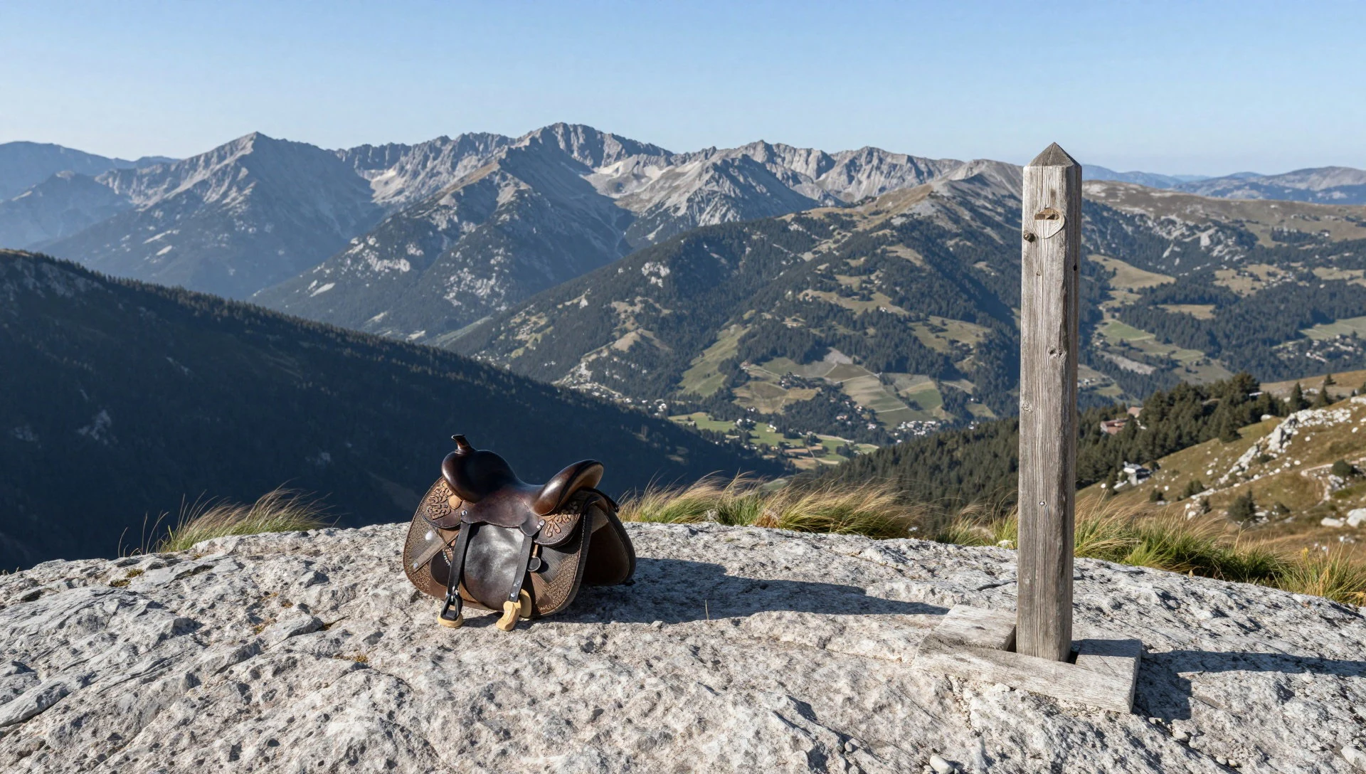
- Easy children’s trail (Champlönch)
Champlönch is an easy, children-focused trail, but adults can enjoy it too when you want something straightforward and time-friendly. It’s a good “recover and explore” option on days when you don’t want a big push.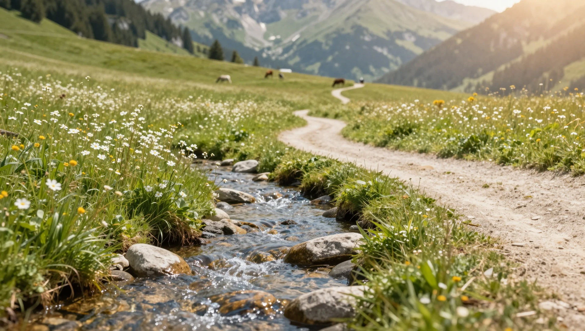
Culture
Swiss National Park is run as a strict nature reserve, which means visitor behaviour matters more than in most parks. The core rule is about impact: stay on marked paths, and don’t linger in places that aren’t meant for walking. Overnight stays are limited to the mountain hut, which keeps camping pressure away from the wider landscape. Dogs are not allowed, even on a leash.
Because the park is intentionally protected, wildlife encounters are more likely when people move quietly and responsibly. A moment with alpine marmots might be brief, so it helps to pause and observe rather than chase them with your camera.
Access is shaped by the geography of Graubünden: the road over the Fuorn Pass links the area towards Italy, and the visitor centre in Zernez is the practical starting point for orientation.
If the weather turns, the discipline of the rules still applies—don’t shortcut off the marked route to “save time”, and don’t treat detours as a personal challenge when the terrain is trying to keep its natural cover. Visitor etiquette line: Stay on marked trails, and keep noise low so wildlife and other hikers can have a calm experience.
What to wear
Swiss National Park dress is all about mountains and protection from changing conditions. The traditional clothing of the wider Graubünden region varies by locality, but what you’ll see today in practice is mostly seasonal or ceremonial wear—details like embroidered jackets and local textiles rather than everyday outfits. Visitors should treat tradition as inspiration, not the default wardrobe.
On the trails now, most people wear practical layers: breathable tops, a warm mid-layer, and a waterproof shell that can handle sudden mist or showers. Footwear matters because alpine paths can be rocky and uneven; sturdy walking boots or well-gripped hiking shoes are more useful than fashion trainers. If you’re heading towards higher ground, bring a hat and gloves, even in warmer months, because temperatures shift with altitude.
For modesty and respect, keep coverage simple and comfortable—this is a natural setting rather than a temple, but you will be outdoors for long stretches. A small daypack with water and a light snack is the norm, and trekking poles can help on descent when legs feel the gradient.
The best approach is to dress for “cool, changeable weather on marked trails”, and let comfort do the talking.
What to eat
- Mountain-style cheese or cured meat plates — Zernez village cafés and eateries
After a hike, look for simple alpine platters—cheese and cured meats—often served at local cafés or in village eateries around Zernez and nearby towns. It’s an easy way to refuel without needing a full meal.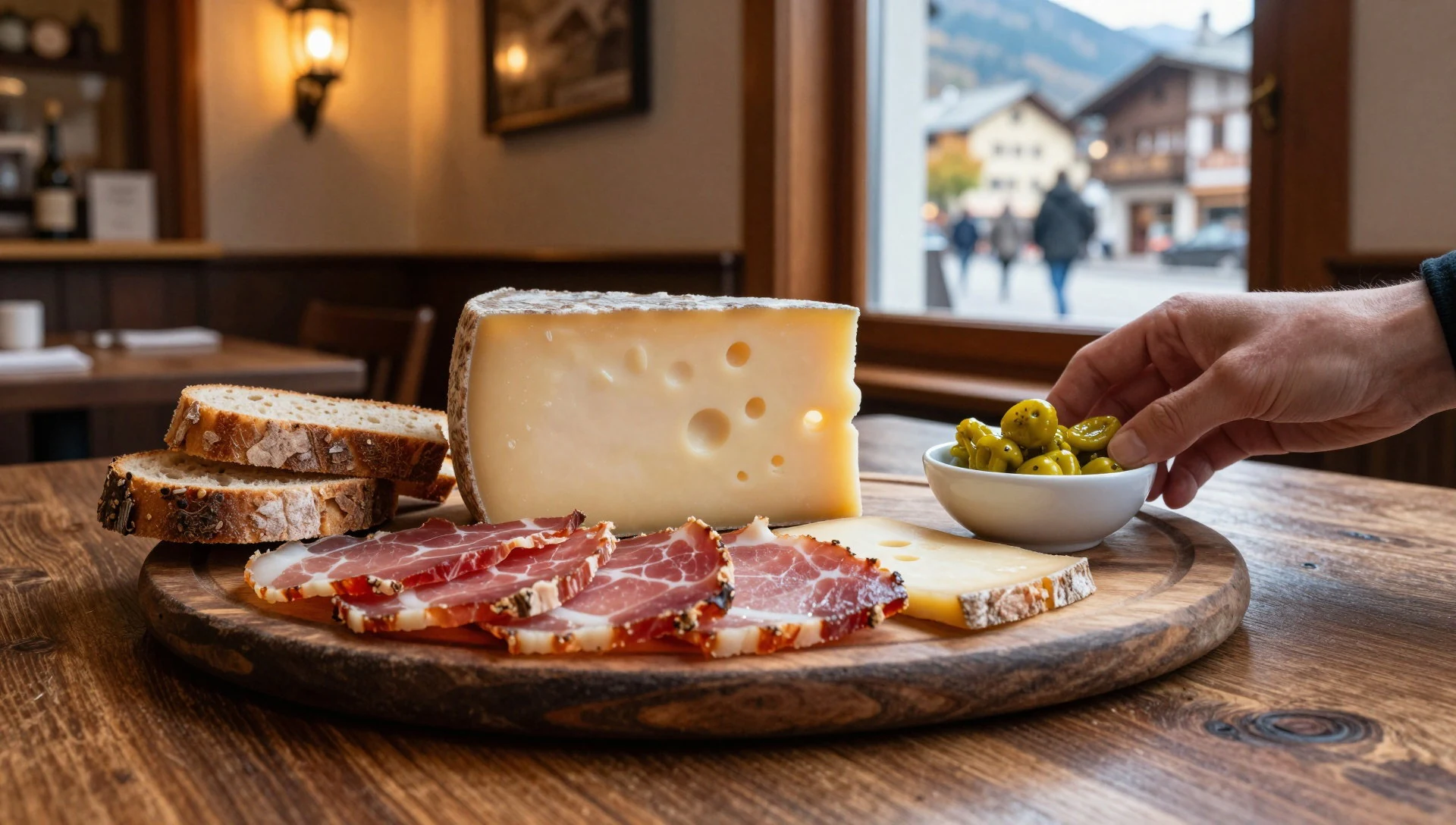
- Warm soup for post-walk comfort — Local restaurants along the valley
On cooler days, a bowl of soup is a reliable reset. You’ll commonly find it at local restaurants as a starter or light lunch, especially when the air feels crisp and the trail has left you ready for something warming.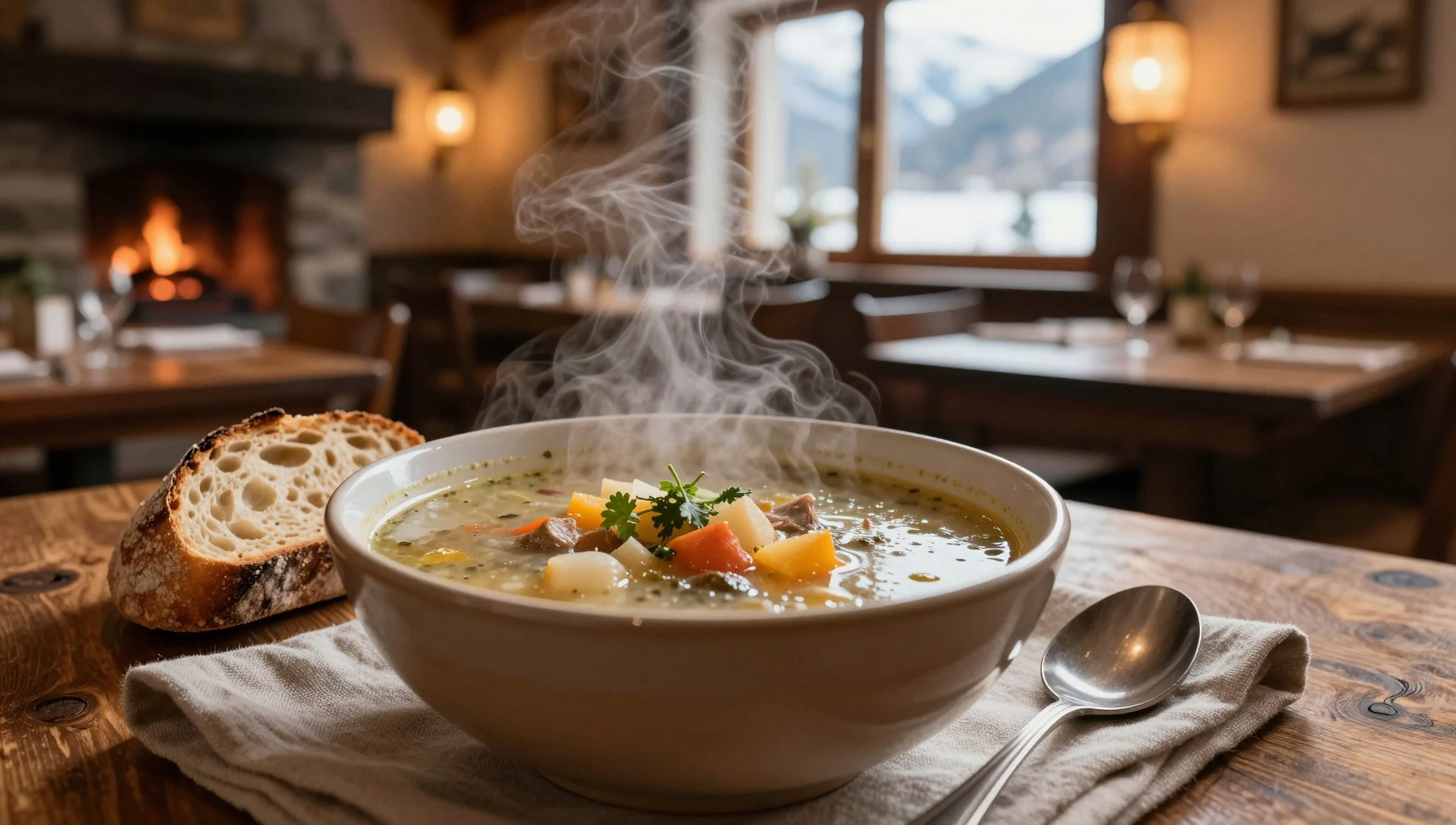
- Baked goods with coffee or tea — Bakeries and cafés in Zernez
Grab something sweet and energising—think simple pastries and cakes—at bakeries or café counters before heading back to your base. It’s a practical stop when you don’t want a sit-down meal between walks. - Picnic supplies from local shops — Grocery and convenience shops in Graubünden towns
For longer walking days, stock up on picnic basics: bread, fruit, and snacks. Small shops in the valley towns make this straightforward, and it keeps your hiking schedule flexible without hunting for places mid-route. - Regional drinks and hot chocolate — Cafés around the Fuorn Pass access areas
A hot drink goes down well after time outdoors. Whether it’s coffee, tea, or a warmer cocoa-style option, cafés in the valley make it easy to warm up before a late return or an evening meal.
Plan it
Best time. July and August are the warmest months, with the highest daytime highs, while the driest window is roughly from January to March; rainfall peaks in late spring and summer (especially May–August). At altitude, conditions can still change quickly.
How long. 3–4
Getting there. Fly to Zurich or another major Swiss airport, then travel by rail or regional connections towards the Graubünden valley. For the final approach, use the road routes that access the park via the Zernez area and the Fuorn Pass (Ofenpass).
Budget. mid
Tips
- Start earlier in the day so you’re walking in steadier light and cooler temperatures
- Use Zernez as your orientation base before committing to longer routes
- Choose hikes that match your energy—Macun lakes is a longer commitment than valley walks
- Plan a waterproof layer and a warm mid-layer, because conditions in the Rhaetian Alps can change fast
- Respect the no-dogs and stay-on-path rules; they shape what’s possible day to day
Etiquette
- Stay strictly on marked paths; avoid creating shortcuts
- Leave the park if you need to rest—don’t sleep outside the permitted hut
- Keep noise down so wildlife can carry on undisturbed
Nearby
Sources
- Wikidata Q83397 (CC0)
- Wikipedia (rev 1362183299) (CC BY-SA 4.0)
- Wikivoyage (rev 5244855) (CC BY-SA 4.0)
- Photo photos/01-swiss-national-park-045.jpg (CC BY 3.0)
- Photo photos/02-swiss-national-park-002.jpg (CC BY 3.0)
- Photo photos/03-graub-nden-swiss-nationalpark-map-location.png (CC BY 3.0)
- Photo photos/04-marmot-trupchun.jpg (CC BY-SA 4.0)
- Photo photos/05-003-wild-alpine-ibex-sunset-creux-du-van-mont-racine-photo-b.jpg (CC BY-SA 4.0)
- Photo photos/06-val-trupchun.jpg (Public domain)
- Photo photos/07-fuorcla-trupchun.jpg (CC BY 3.0)
- Photo photos/08-zwischen-chamanna-cluozza-und-fuorcla-val-sassa.jpg (CC0 1.0)


