Stora Sjöfallet National Park
Stora Sjöfallet National Park, Sweden
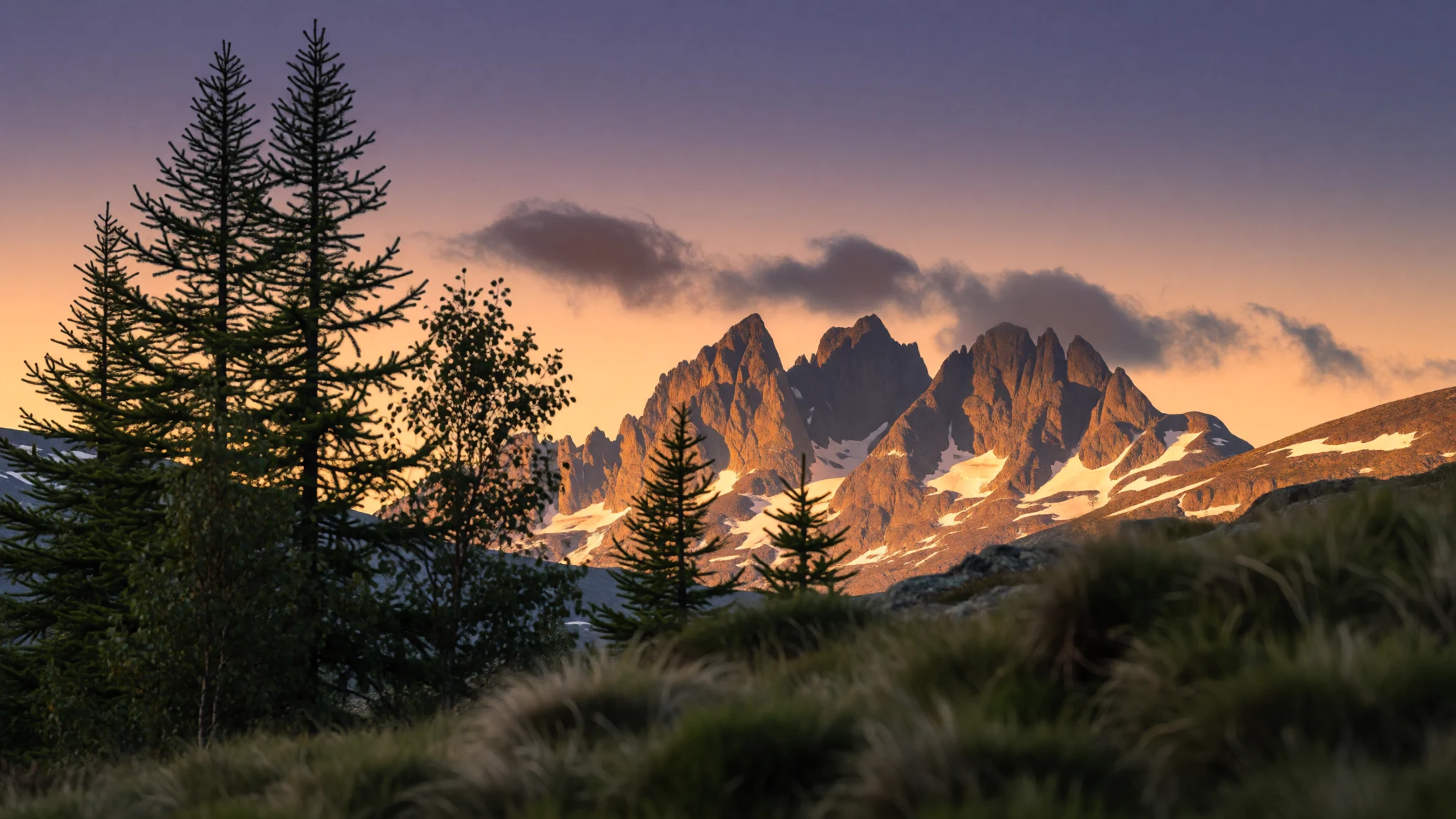
Stora Sjöfallet offers wide Arctic fell country, a glacier-topped massif and a frank lesson in what hydropower did to a waterfall.
The place
Stora Sjöfallet National Park sits in Norrbotten, in northern Sweden, just north of the Arctic Circle and close to the Norwegian border, across the municipalities of Gällivare and Jokkmokk. The name means roughly the Great Lake Falls, and the Lule Sami call the area Stuor Muorkke. It forms part of the Laponian area, a World Heritage Site, and of the EU's Natura 2000 network. The park wraps around the reservoir Akkajaure on its northern, eastern and southern sides, so a lake that is man-made still dictates how the landscape reads on a map. South of the water, Áhkká dominates: a massif of many peaks and glaciers, nicknamed the queen of Lapland and also known as Nils Holgersson's mountain after Selma Lagerlöf's story. That part has been cut out of the protected area, but it remains the visual anchor. The lower ground there carries conifer forest. North of the lake rises Kallaktjåkkå, whose north face looks into the steep, narrow Teusa valley. This is Sápmi, the Sami homeland, and reindeer herding still shapes the land. The glaciers are shrinking as the climate warms. Most visitors come by the road from Porjus, and the feeling is of open fell country rather than a tidy resort: big lakes, bare ridges, birch at the lower edge and long distances between huts. Weather decides a good deal, since cloud can wipe out a summit for days and mosquitoes are a fact of life in July.
Its story
Stora Sjöfallet National Park was created in 1909, and the reason was a waterfall. The falls on the Lule River dropped in stages, and each tier took the name of a figure from Lapland's past: an industrialist from Norrbotten, the preacher who founded Laestadianism, a physician and author who wrote about the Sami, a man who handed the falls to the Swedish people, and a campaigner for the northern mountains. Protection did not hold in the way the founders hoped. Soon after the park was declared, the state allowed the river to be harnessed for hydroelectric power. Water was diverted, so the great drop ran almost dry except on a few days each year, and the lake shores were damaged as levels were managed for the turbines. Power lines, roads and gravel pits followed. By the 1960s people were openly asking whether the place still deserved park status, and the falls themselves were eventually removed from the park boundary. Akkajaure, which now divides the park in two, is an artificial lake. The mountains tell a far longer story: they are the worn roots of an ancient range, raised when continents met in the deep past. Today the park is a study in trade-offs, protected scenery beside the infrastructure that powers the country. Knowing that history helps, because the falls on old postcards are not what stands there now.
What to see
- Áhkká massif — South of Akkajaure
Áhkká is the great mountain of the area, a many-peaked massif with glaciers that is visible from long distances across the fells. Its high point is the park's summit. It is best admired from the lake shores and trails rather than climbed casually, since glacier terrain needs proper equipment and experience.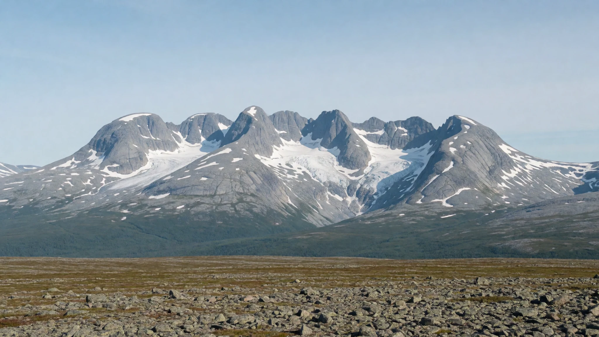
- Akkajaure and Suorvajaure — Central park
These reservoirs are the park's defining water, long sheets of grey-blue ringed by bare slopes. They are artificial, and the shorelines show it when levels drop. Viewpoints near the western road give a fair sense of the scale, and the photographs from Vakkotavare are a good preview.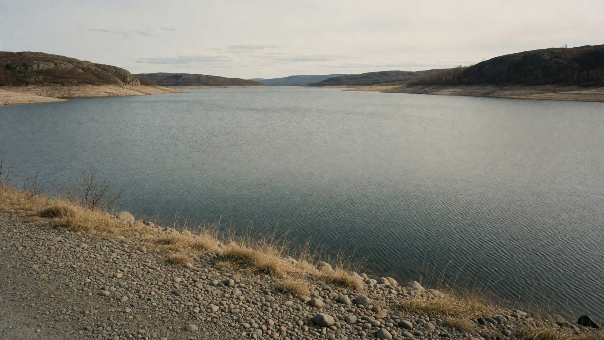
- The old Stora Sjöfallet falls — Lule River, eastern park
The stepped falls that gave the park its name now run mostly dry, because the river feeds the power station. Seeing the rock channel without its water is oddly moving, and old photographs from the 1970s show how much remained. Treat it as a history stop rather than a spectacle.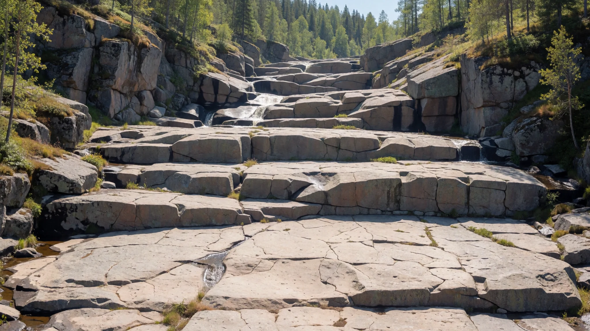
- Kårtejaure and Njabbejåkkå — Northern park, near Kungsleden
Lake Kårtejaure lies near the treeline, where birch gives way to open heath, and the stream Njabbejåkkå runs down toward it. This is gentle, rewarding walking country with big skies and good reflections on calm days. Midges can be thick in warm, windless weather.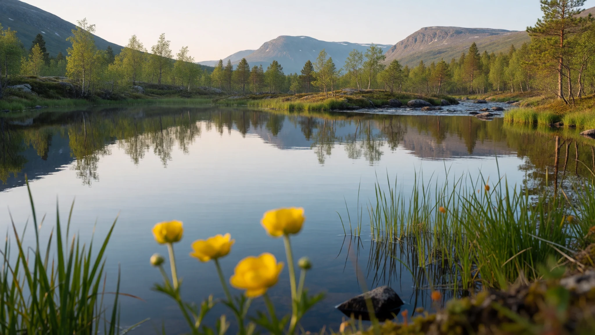
- Teusa valley — North of Akkajaure
The Teusa valley is a narrow, deep cut beneath the north face of Kallaktjåkkå. It feels enclosed compared with the open fells around it, and the walls make it a dramatic place for photographs. It suits experienced walkers with good navigation, as paths are limited and weather turns quickly.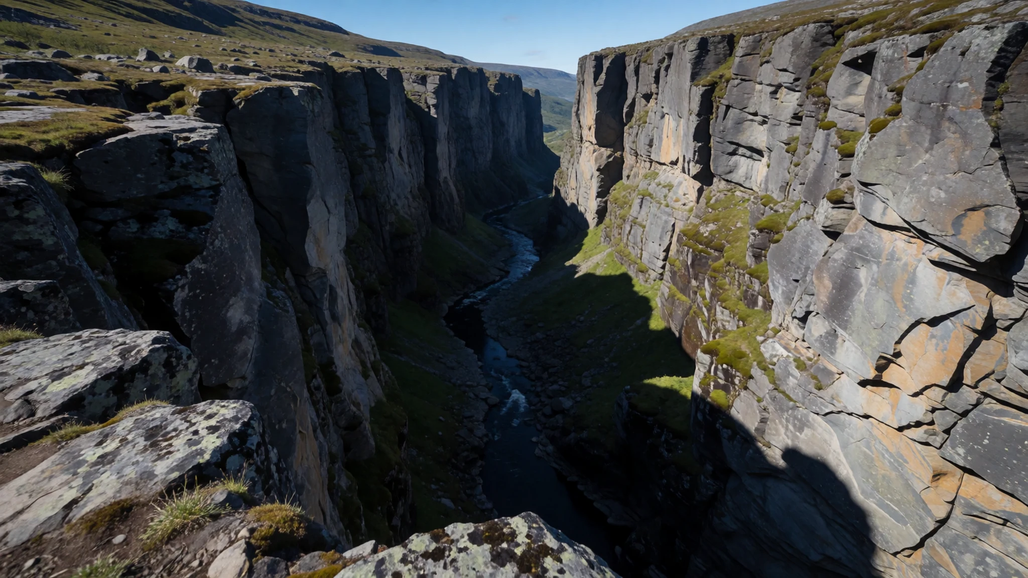
Culture
Stora Sjöfallet National Park lies inside Sápmi, the homeland of the Sami, whose reindeer herding, language and craft traditions are older than any border here. The Lule Sami names, Stuor Muorkke for the area and Stuor Muorkkegårttje for the falls, are still the original names of the place. Herding families move their animals through the fells with the seasons, so a reindeer on the trail is part of a working landscape, not a sight put on for visitors. A second thread is Laestadianism, a Lutheran revival movement begun by Lars Levi Laestadius, whose name is carried by one tier of the old waterfall and who remains influential across northern Scandinavia. Another is the Swedish public right of access, which allows walking and camping on most open land if you respect the people, animals and environment around you. That freedom depends on common sense: carry out all rubbish, keep clear of cabins and herding fences, and take mountain weather seriously. The hydropower story adds a modern layer, since the same river that gave the park its name now helps power the country, and local opinion on that bargain is not uniform. Hospitality is quiet and practical rather than showy, and distances are long, so plans are worth making properly. Keep a respectful distance from reindeer, keep dogs on leads, and always ask before photographing Sami people or their herds.
What to wear
Stora Sjöfallet National Park sits in Sami country, where the traditional dress is the gákti, a tunic made from wool or felt, often in deep blue or red with bands of contrasting colour at the collar, cuffs and hem. Patterns and colours vary by family and area. Accessories include silver or pewter-thread decoration, woven bands and shoes made from reindeer hide. The gákti is worn for celebrations, church, weddings and on Sami national day, and some people wear it for work with herds. Day to day, locals dress as people do anywhere in the Arctic: practical layers, wool base garments, waterproof shells, sturdy boots and a hat. Fashion here means function, and clothes are chosen for the weather and not the occasion. Visitors should do the same. Summer can be mild, but it can also be wet, windy and cold at altitude, so pack a warm mid-layer, a waterproof jacket and trousers, and a hat and gloves even in July. Boots with ankle support and good grip suit uneven, boggy ground, and wool socks help with wet feet. A head net is worth carrying for midges and mosquitoes. In winter and early spring, serious insulation is essential, including windproof outers, thermal boots and goggles. There are no dress rules for the fells, but modest, respectful clothing suits visits to Sami events.
What to eat
- Reindeer — Mountain lodge restaurants and local delis
Reindeer meat is the signature protein of Lapland, served as sautéed slices, smoked, dried or in stews. It tastes lean and slightly gamey. Look for it at mountain lodge restaurants, local delis in Gällivare and Jokkmokk, and Sami food stalls at markets.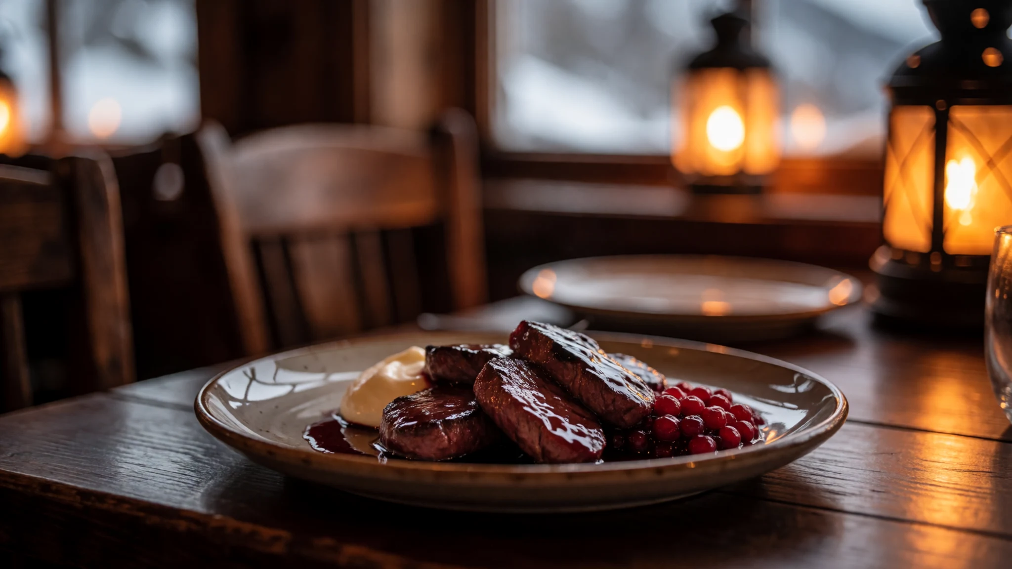
- Palt — Village cafés and northern town eateries
Palt is a hearty dumpling of flour and potato, traditionally filled with pork, and served with butter or lingonberry jam. It is plain, filling food that suits hungry walkers. Look for it on menus in northern Swedish towns and village cafés.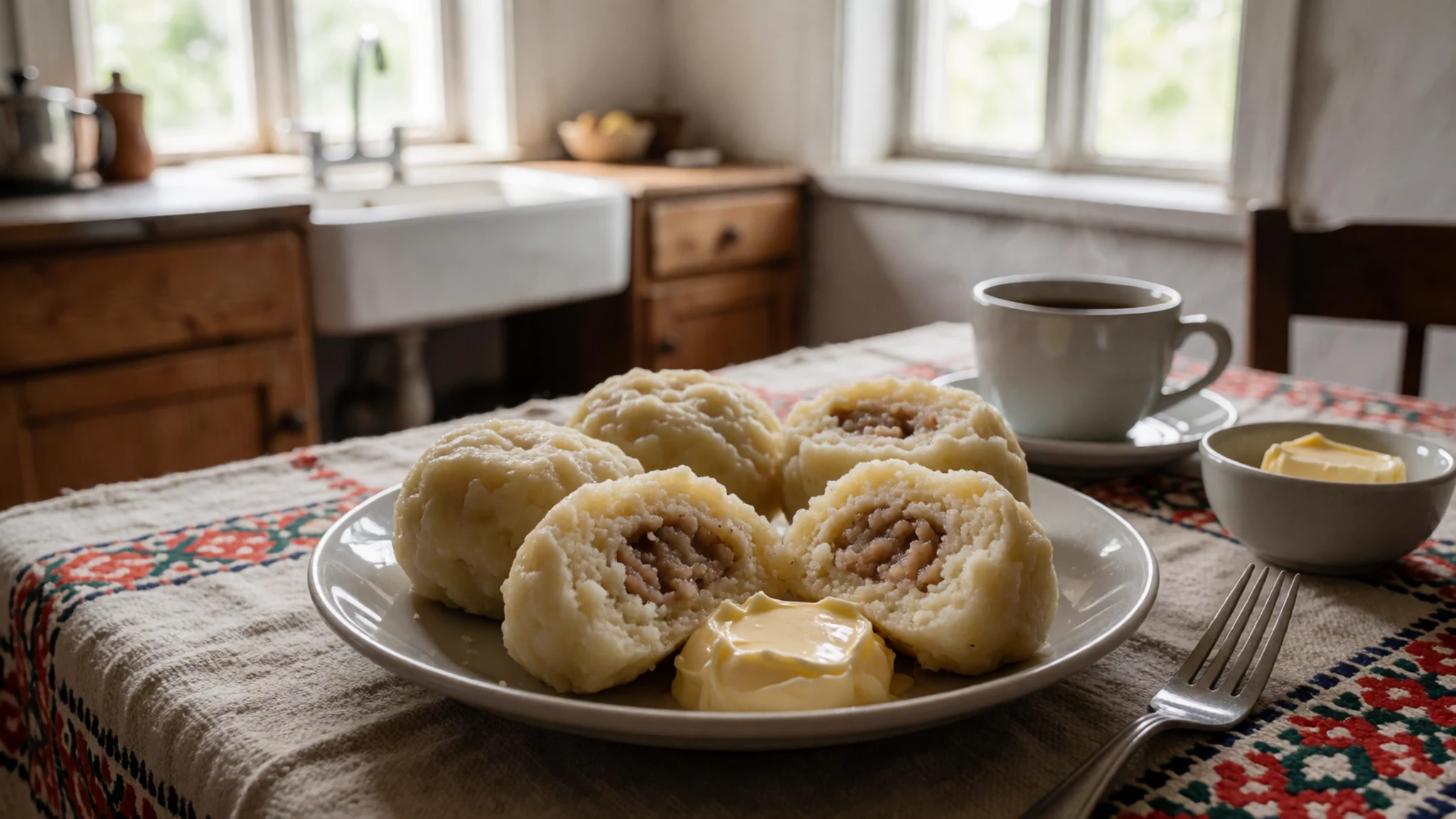
- Kalix löjrom — Restaurants and delicatessens in coastal and larger towns
Kalix löjrom is the orange vendace roe from the Bothnian coast, served on toast, with sour cream and chopped onion. It is delicate, salty and pricey. It shows up in good restaurants in Luleå and Kiruna and in delicatessens, but not in the fells. - Arctic char — Mountain resort and lodge menus
Arctic char is a cold-water fish, with firm pink flesh somewhere between trout and salmon. In the mountains it is often fried or smoked. Fishing is forbidden inside the park, so this is a dish to order rather than catch, and ask at the mountain resort where the fish comes from. - Surströmming — Supermarkets and traditional restaurants in Norrbotten
Surströmming is fermented Baltic herring, famous for its smell and eaten with flatbread, potatoes and onion. It is an acquired taste and is more a northern Swedish custom than a mountain dish. Try it in a shop or restaurant that serves it, and expect to open the tin outdoors.
Plan it
Best time. March to September is the sensible window: March and April for skiing and snow-covered fells with longer days, July to September for hiking when trails are clearest. Midges and mosquitoes peak in midsummer, winter is the coldest in Sweden with very little daylight, and other times work for experienced visitors.
How long. 3–4
Getting there. Fly from Stockholm Arlanda to Gällivare or Kiruna, or take a sleeper train from Stockholm or Gothenburg to Kiruna. Hire a car and drive to Porjus, then follow the road through Vietas to the park's western end. Check public transport options on Resrobot.
Budget. mid
Tips
- Book cabins, mountain resort rooms and any guided activities well ahead for summer and ski season
- Carry a paper map and compass, as mobile signal is patchy and weather changes fast
- Bring a head net and repellent for July, and warm layers for any month
- Check the official park and county board pages for current rules, trail conditions and any restrictions
- The south of the park has no trails or cabins, so keep to the northern side unless fully equipped
Etiquette
- Give reindeer and herders space, and keep dogs on leads
- Take all rubbish away and camp well clear of cabins
- Ask before photographing Sami people or their herds
Nearby
Sources
- Wikidata Q1505447 (CC0)
- Wikipedia: Stora Sjöfallet National Park (rev 1372180734) (CC BY-SA 4.0)
- Wikivoyage: Norrbotten County (rev 5414038) (CC BY-SA 4.0)
- Photo: Suorvajaure in Stora Sjöfallet Park, Alexandre Buisse (Nattfodd) (CC BY-SA 2.5)
- Photo: Kårtejaure from treeline, Grapetonix (Public domain)
- Photo: Stora Sjöfallet in juni 1972 (1), Gouwenaar (CC0 1.0)
- Photo: Stora Sjöfallet in juni 1972 (2), Gouwenaar (CC0 1.0)
- Photo: Stora Sjöfallet in juni 1972 (3), Gouwenaar (CC0 1.0)
- Photo: Stora Sjöfallet in juni 1972 (4), Gouwenaar (CC0 1.0)
- Photo: Stora Sjöfallet in juni 1972 (5), Gouwenaar (CC0 1.0)
- Photo: Ranunculus glacialis, Nina Laakso (CC BY 2.5)


