Spitsbergen
Spitsbergen, Norway
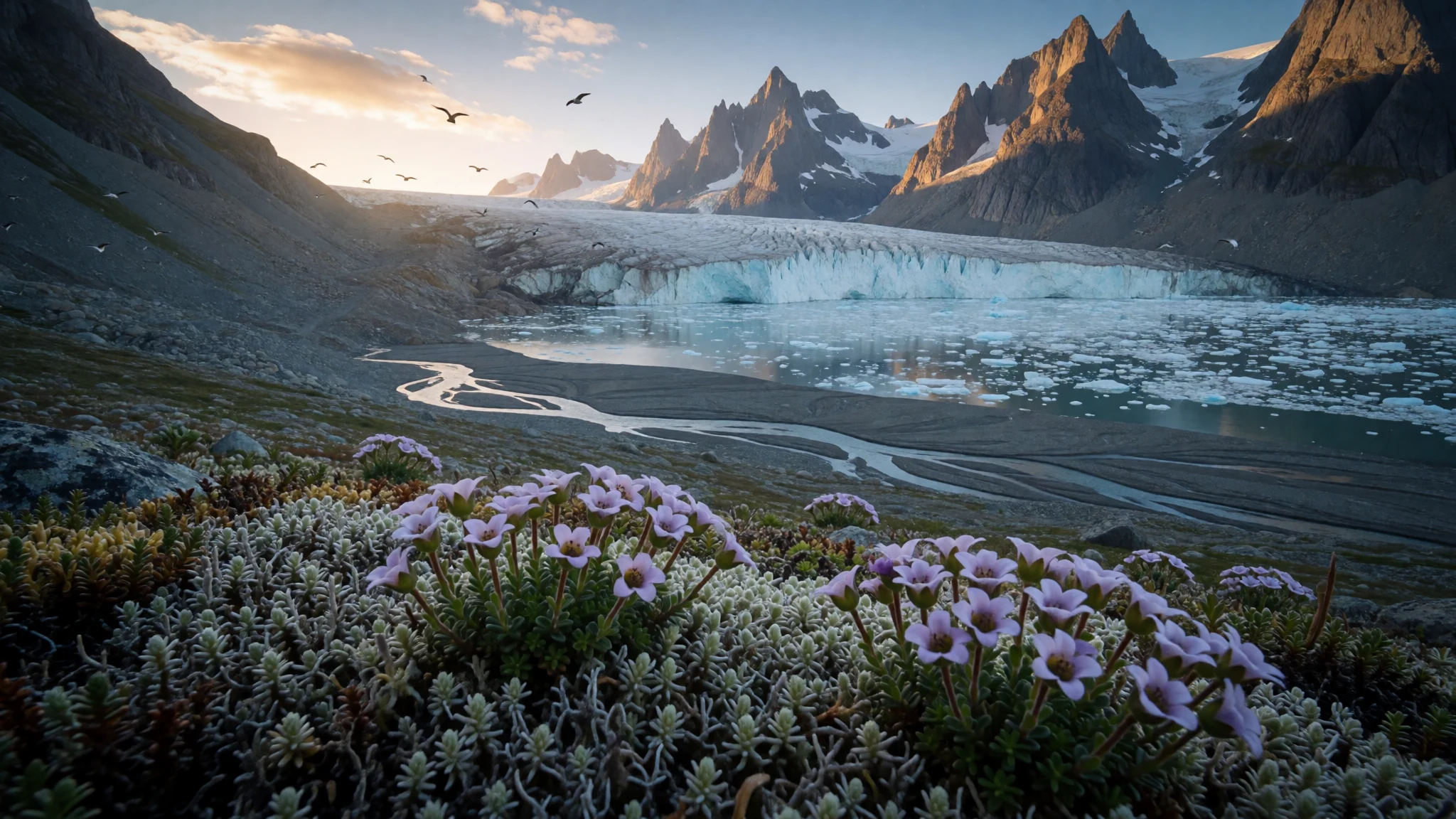
Spitsbergen offers glaciers, fjords, reindeer and polar bear country on a Norwegian island, reached by a scheduled flight and explored with guides.
The place
Spitsbergen is the largest island of the Svalbard archipelago, a Norwegian territory far up in the Arctic Ocean, and the only island in the group with year-round settlement. Its highest ground reaches 1,713 m, and the scenery follows from that: ice-cut mountains, wide flat-floored valleys, braided rivers and fjords that reach deep into the land. Well over half of the surface is glacier, and the rest is bare rock, gravel and tundra that flowers briefly in summer.
The island meets three bodies of water: the Arctic Ocean, the Norwegian Sea and the Greenland Sea. A branch of the North Atlantic Current keeps the nearby water open for much of the year, which makes the winters milder than the latitude suggests. Summers are still cool, with temperatures only a few degrees above freezing, and fog and wind are regular companions. Sheltered inner fjords run colder in summer and warmer in winter than the outer coast.
People live in a handful of places. Longyearbyen is the administrative centre and the base for nearly every visit. Barentsburg is a Russian-run mining town, Ny-Ålesund is a research community, and Sveagruva is a mining outpost. The population is only a couple of thousand, so the empty land is the main feature.
Travel here is easier than the location implies. Entry is open to citizens of the countries that signed the Svalbard Treaty, with no visa needed. Costs are high, as across Norway, and almost everything beyond town depends on a guide, a boat or a snowmobile.
Its story
Spitsbergen entered European records in 1596, when the Dutch navigator Willem Barentsz sighted it while looking for a northern sea route to Asia. Mapmakers soon followed: a printed chart from the Blaeu workshop in 1623 gave the coast a recognisable outline, though the east side remained vague. Russian Pomor hunters may have been visiting much earlier, and they called the land Grumant, but firm evidence before the seventeenth century is missing. The name Svalbard appears in old Icelandic writing, although that may refer to Jan Mayen.
The first real industry was whaling. Dutch, English and other crews worked the western coast and the offshore islands, because currents and the movement of animals drew the whales there. A painting by Abraham Storck from 1690 shows Dutch whalers at work off this coast. By the eighteenth century the whales were thinned out and the stations were abandoned.
Coal brought people back at the end of the nineteenth century, and mining towns grew into permanent settlements. Ownership was unclear for decades, until the Svalbard Treaty of 1920 recognised Norwegian sovereignty. The same treaty made the archipelago a demilitarised zone and a free economic area open to the signatory countries.
Coal is still dug by Norwegian and Russian companies, but the weight has shifted. The University Centre in Svalbard, international research stations, tourism and the Svalbard Global Seed Vault now give the island its modern purpose.
What to see
- Longyearbyen — Isfjorden, central Spitsbergen
Longyearbyen is where most journeys start and end. The town sits in a valley beside Isfjorden, with colourful wooden houses, old mine workings on the slopes and a couple of museums. It also has the northernmost church in the world, according to Wikivoyage. Tours of every kind can be booked here.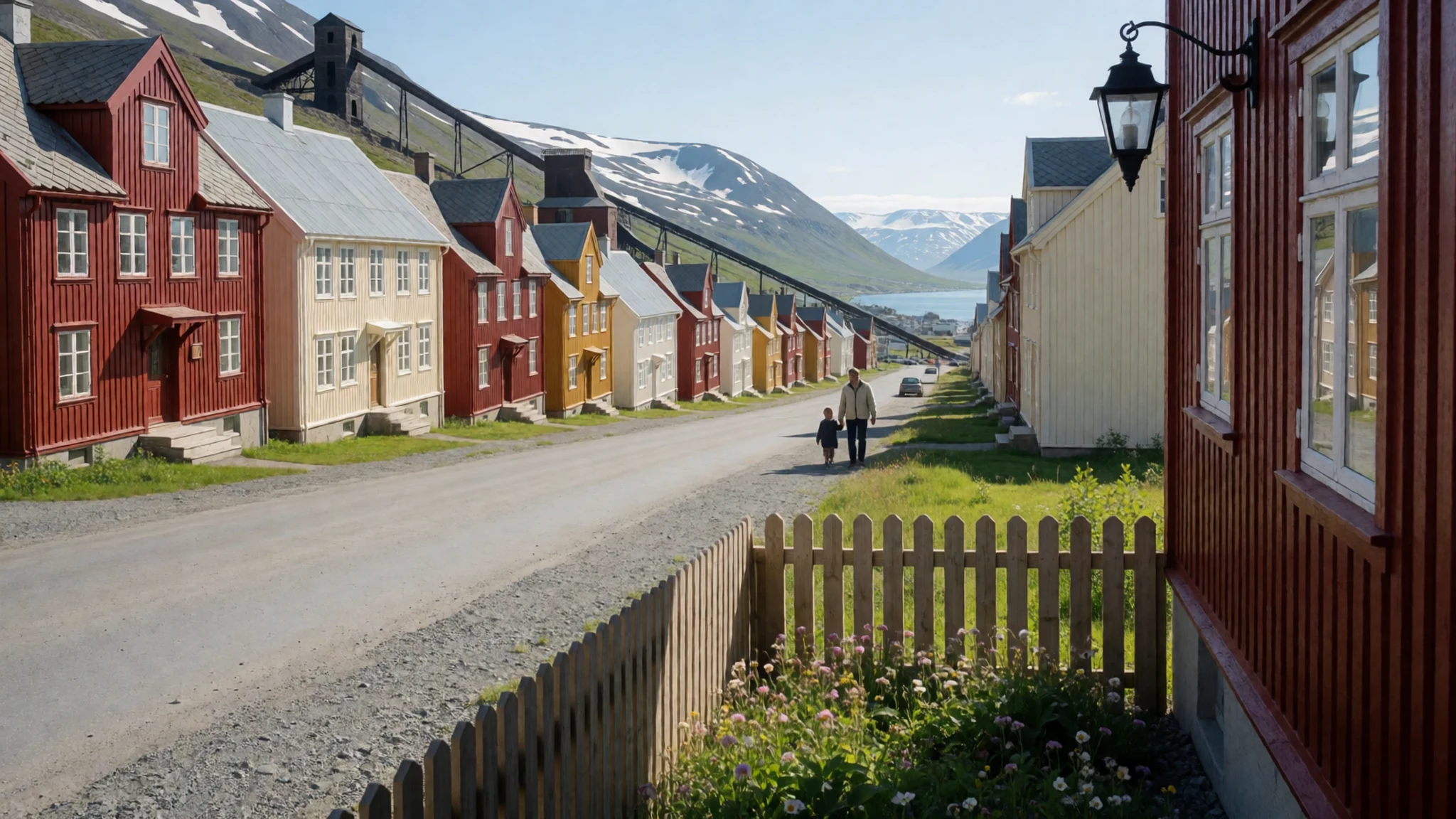
- DeGeerdalen and Isfjorden shore — south shore of Isfjorden
South of Isfjorden the land opens into broad glacial valleys such as DeGeerdalen. Gravel plains, braided meltwater channels and bare mountain flanks make a good lesson in how ice shapes a landscape. Distances are deceptive in the clear air, and walking here is only sensible with a guide who carries a rifle.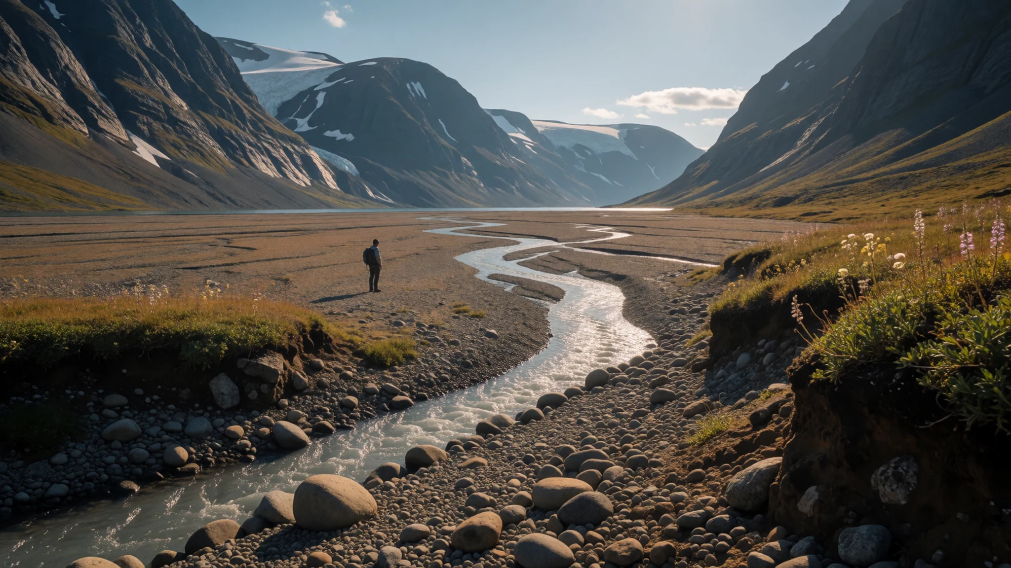
- Lilliehöökfjorden — north-west Spitsbergen
On the north-west coast, Lilliehöökfjorden is a fjord where glaciers reach the water and calve into it. Boat trips from the larger cruise routes visit it in summer. Floating ice, seabirds and sometimes seals make it a place for slow looking rather than for hurried photographs.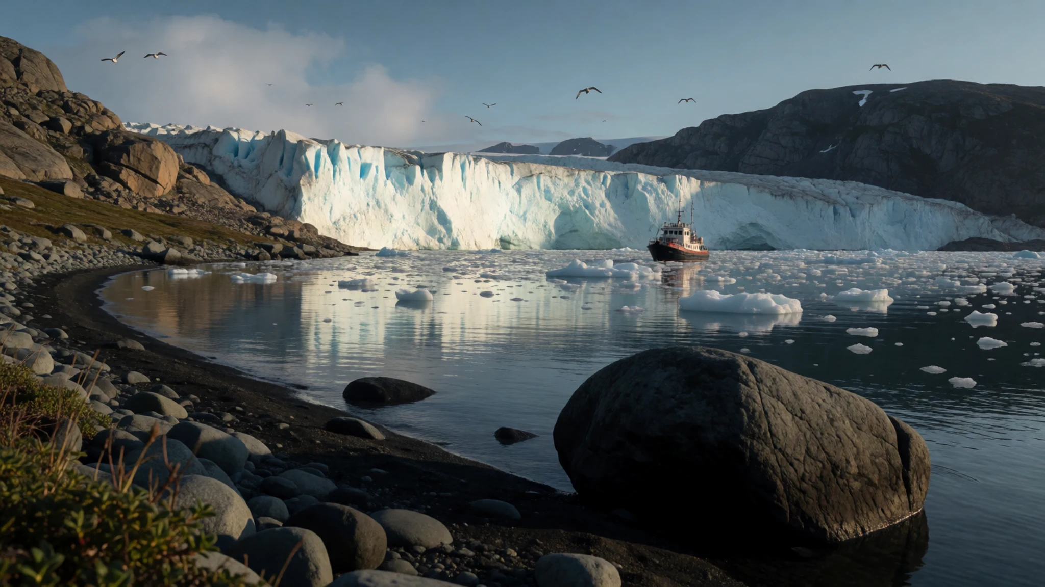
- Hornsund — southern Spitsbergen
Hornsund cuts into the southern part of the island and is ringed by sharp peaks and tidewater glaciers. A Polish research station works from the bay of Isbjørnhamna, and expedition ships anchor nearby. The south is slightly milder than the north, though weather changes fast and landings depend on the sea.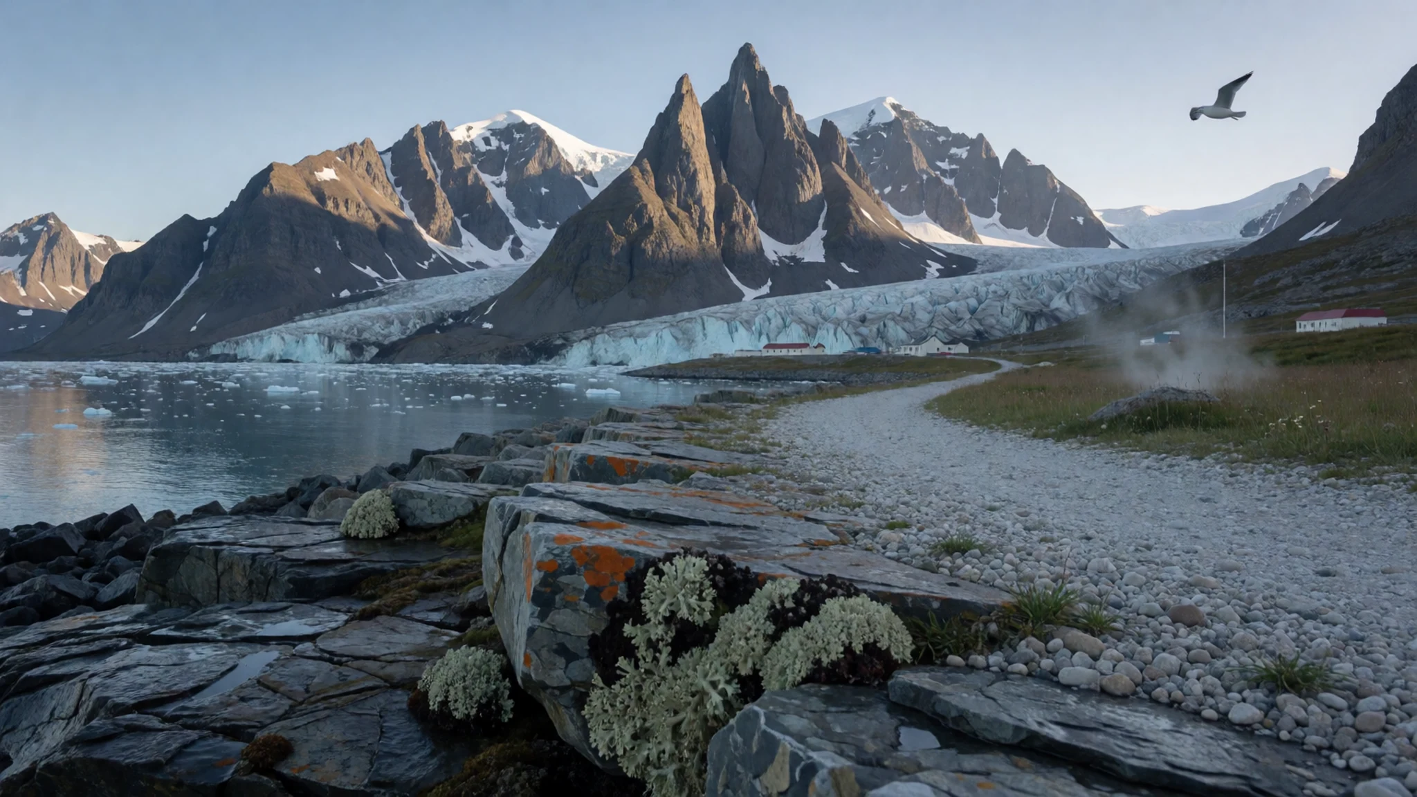
- Svalbard reindeer on the tundra — tundra around Longyearbyen
Svalbard has its own short-legged reindeer, often seen grazing on tundra near Longyearbyen and in the valleys. They are stocky, unhurried and fairly tolerant of people at a respectful distance. Summer brings tundra flowers, and birds such as Arctic terns and puffins add to the wildlife.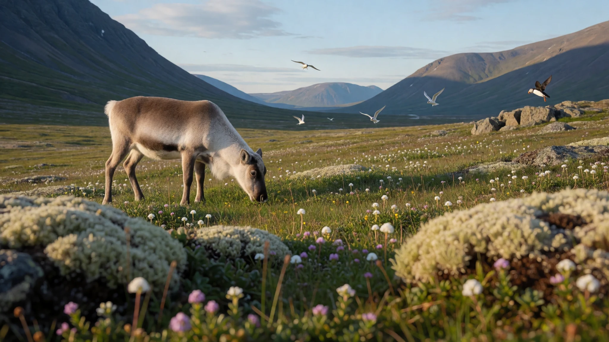
Culture
Spitsbergen has no old indigenous culture of its own. The island's character comes from mining, science and the people who choose to live at the edge of the habitable world. In Longyearbyen, residents come from many countries, and the pace is practical: winter darkness, summer light that never fades, and a shared respect for weather and wildlife.
Mining heritage is everywhere. Old cable-car pylons and workings stand above the town, and the Norwegian and Russian coal companies still define two of the settlements. Barentsburg feels distinctly Russian, with its own language, food and atmosphere, while Ny-Ålesund is a small international research village. Under the Svalbard Treaty these communities coexist in a demilitarised zone, which gives the island a cooperative, slightly unusual political feel.
Safety is part of the local culture. Polar bears live here, so anyone leaving the settlements is expected to be with a guide who carries and knows how to use a rifle. Locals take this calmly and talk about it as an ordinary fact of life, not a drama.
Indoors, life is informal and warm. Houses, many shops and some guesthouses are kept tidy by a simple custom that keeps mud, gravel and snow out. Evenings are often spent in bars, small museums, talks and cafés, and conversation tends to turn to weather, wildlife and the sea ice.
Take your boots off at the door whenever you see a shoe rack, and carry thick socks or slippers so you are comfortable indoors.
What to wear
Spitsbergen has no traditional costume of its own, since the settlement here is recent and built around work. Workwear is the nearest thing to a heritage look: heavy wool, padded overalls and sturdy boots from the mining era. On Norwegian national days, some residents wear the bunad, an embroidered wool regional dress from the mainland, but it is a visitor from the south and not a local tradition.
Everyday dress in Longyearbyen is practical and modern. People wear technical jackets, wool base layers, fleece and insulated boots, and most have a hat and gloves in a pocket even in summer. Colours are bright against the grey and white, partly for fun and partly for visibility. Smart clothing is rare, even at a good restaurant, and nobody will mind outdoor gear at dinner.
Visitors should dress in layers, because the weather can change within an hour. A wool or synthetic base layer, a warm mid-layer and a windproof, waterproof shell cover most summer days, which stay cool. Winter calls for a proper insulated parka, thermal trousers, a balaclava or buff, goggles and mittens over liners. Boots must be waterproof with a good grip, and thick wool socks make a large difference. Tour operators often lend heavy suits and boots for snowmobile trips. Bring sunglasses for glare off snow and ice, and slip-on indoor shoes for the many places where boots come off.
What to eat
- Reindeer — restaurants in Longyearbyen
Reindeer is the local meat most visitors try, often served as a rich stew or a pan-seared fillet with berries and root vegetables. The flavour is lean, dark and slightly gamey, closer to venison than to beef.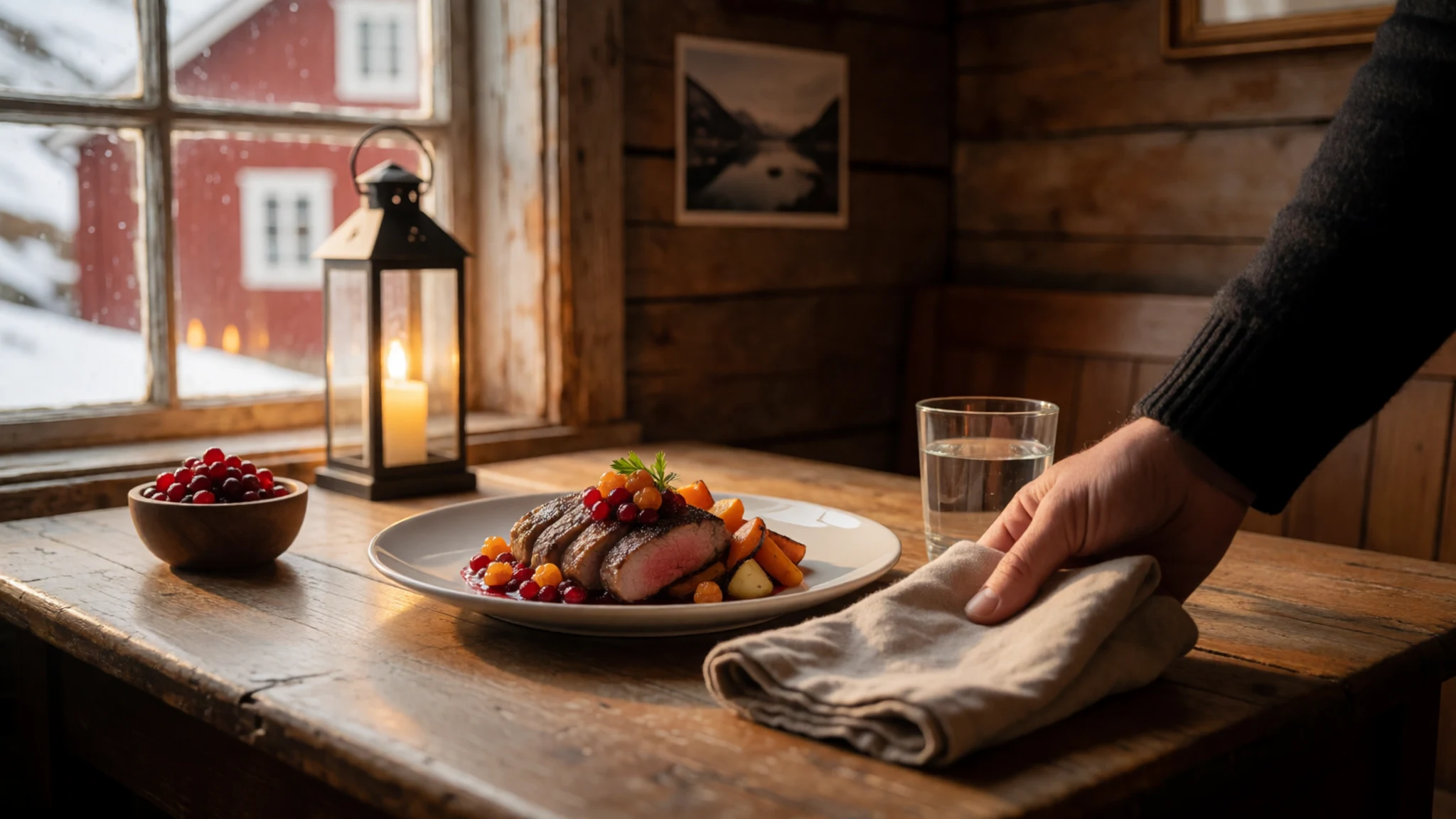
- Seal — restaurants in Longyearbyen
Seal appears on some Longyearbyen menus as a traditional Arctic meat. It has a strong, iron-rich taste that divides opinion, and it is worth asking how it is prepared before ordering.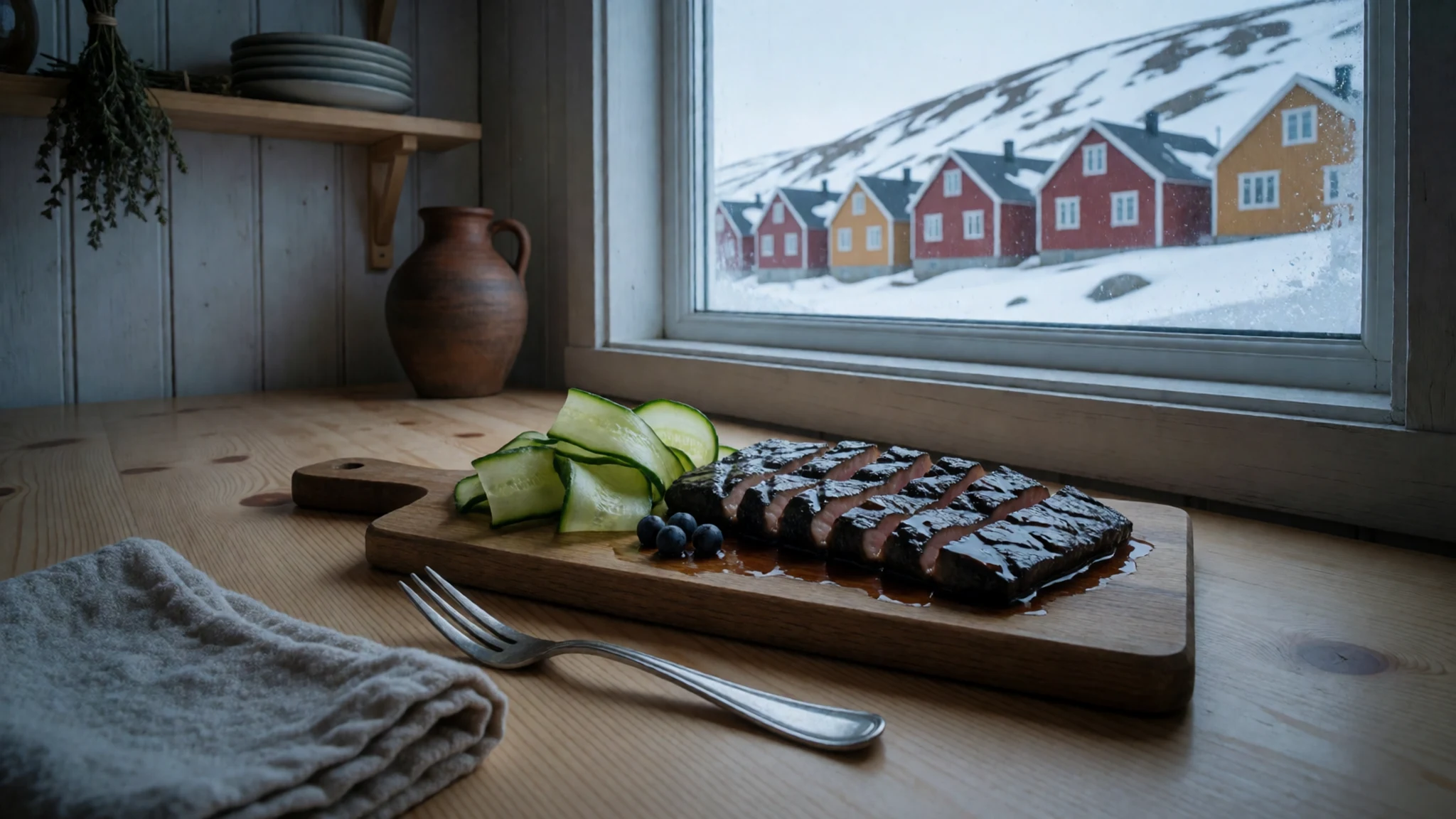
- Drinks with glacier ice — boat trips among glacier fjords
On glacier cruises, a favourite novelty is a drink served over ice taken from the water. The ice is very old and very clear, and it crackles audibly as it melts into the glass. - Russian vodka — bars and eateries in Barentsburg
Barentsburg keeps Russian habits alive, and vodka is the obvious drink there. Prices are modest by local standards, and a glass fits the cold, with simple Russian-style snacks beside it. - Craft beer and wine — the alcohol shop and bars in Longyearbyen
Alcohol is duty-free on Svalbard, so a good bottle of beer or wine costs less than on the mainland. The town's alcohol shop stocks a wide range, and buyers must keep their arrival ticket to track the purchase quota.
Plan it
Best time. June to August for open water, tundra flowers, boat trips and constant daylight, with fog common in summer. March and April suit snowmobiles, dog sledding and long, bright days on snow while it is still very cold. Winter is dark and windy, and September is quieter as the season closes.
How long. 4–6
Getting there. Fly to Svalbard Airport near Longyearbyen, usually via Oslo or Tromsø on the Norwegian mainland. Longyearbyen is a short road transfer from the airport. Beyond town, travel is by boat, snowmobile or small aircraft with an operator, since no roads link the settlements.
Budget. high
Tips
- Book guided trips, accommodation and flights early for summer and for the spring snowmobile season
- Allow spare days, because fog, wind and ice can delay boats and flights
- Pack for weather that changes within an hour, with windproof layers, hat, gloves and waterproof boots
- Expect high prices, and carry a card, as most places accept them
- Never walk outside the settlements without a guide who carries a rifle
Etiquette
- Take off your boots where a shoe rack is provided
- Keep a respectful distance from wildlife and never feed it
- Take rubbish away and leave old whaling and mining remains untouched
Nearby
Sources
- Wikidata Q21162 (CC0)
- Wikipedia: Spitsbergen (rev 1368772527) (CC BY-SA 4.0)
- Wikivoyage: Svalbard (rev 5341871) (CC BY-SA 4.0)
- DeGeerdalen, Wilson44691 (Public domain)
- Dutch whalers near Spitsbergen, Abraham Storck, 1690 (Public domain)
- Lilliehöökfjorden, Jerzy Strzelecki (CC BY 3.0)
- Panorama of Longyearbyen, Dagny (Public domain)
- Skottehytta in Petuniabukta, Upior polnocy (CC BY 3.0)
- MS Horyzont II in Isbjørnhamna, Upior polnocy (CC BY 3.0)
- Spitsbergen, mountains, Jerzy Strzelecki (CC BY 3.0)
- Svalbard reindeer, Per Harald Olsen (CC BY 3.0)


