Seljalandsfoss
Seljalandsfoss, Iceland
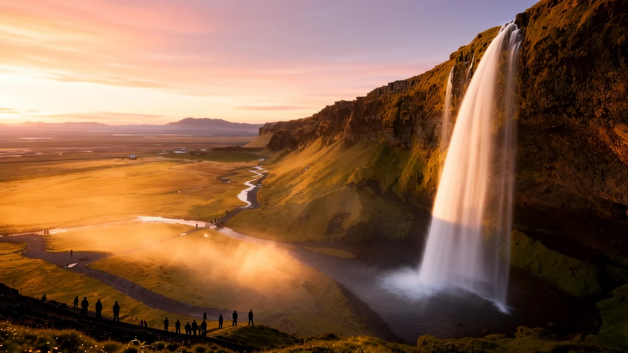
Walk behind a 60 m curtain of water on South Iceland's farmland, then carry on to the south coast.
The place
Seljalandsfoss sits in the South Region of Iceland, right beside the Ring Road where a side road heads towards the highlands. The water drops about 60 m over a cliff, and the Seljalands River that feeds it rises from the glacier-capped volcano Eyjafjallajökull. The fall is one of many along this stretch of the south coast, but it stands out because a path curves around its side. Walkers can step behind the sheet of water into a small cave, and the spray catches the light in a way that photographs well. Expect to get wet, especially when the wind swings. Most visitors give the falls an hour or so before moving on. The surrounding land is mainly farmland, with sheep, cattle and horses grazing close to the road. A car park serves the falls, and buses to the highland valley of Þórsmörk leave from it. A campground nearby means the area also works as an overnight base. Flow is strongest after heavy rain or spring melt, when the cascade looks its fullest, and winter brings ice on the path and short, grey days. The south coast gives no shelter from the Atlantic, so a stop that feels calm on a summer afternoon can be bleak in a gale.
Its story
The land around Seljalandsfoss belongs to some of the best-known stories in Icelandic literature. Njáls saga, one of the most celebrated of the family sagas, unfolds largely across this southern countryside. Its title character lives at Bergþórshvoll, and the warrior Gunnar comes from Hlíðarendi in the Fljótshlíð valley, near Hvolsvöllur. Those farms still stand, but visitors should not expect medieval ruins. Turf and timber were never built to last in Iceland, so the buildings on the sites today are modern. The scenery, however, is much as the saga writers would have known it: green slopes, glacier rivers and open sky. Power in medieval Iceland also gathered here. Skálholt housed the bishop for the south and east of the island for centuries, and it stayed a diocese seat until the nineteenth century. Further north-west, at Þingvellir, the assembly met in the open to make laws and settle disputes. Parliament there lost its lawmaking role in the seventeenth century but kept sitting as a court until the early nineteenth century. Iceland was declared a republic at the same site in the middle of the twentieth century, so the place still carries national weight. When you stand by the falls, you are close to the settings of stories Icelanders have passed down for centuries.
What to see
- Seljalandsfoss itself — South Region, beside the Ring Road
The falls drop about 60 m from a cliff on the Seljalands River, which rises under the glacier on Eyjafjallajökull. The path curves around the side of the falls, so you can walk behind the water into a small cave. Bring a waterproof layer, because the spray reaches well beyond the rocks. Go early or late for a quieter view.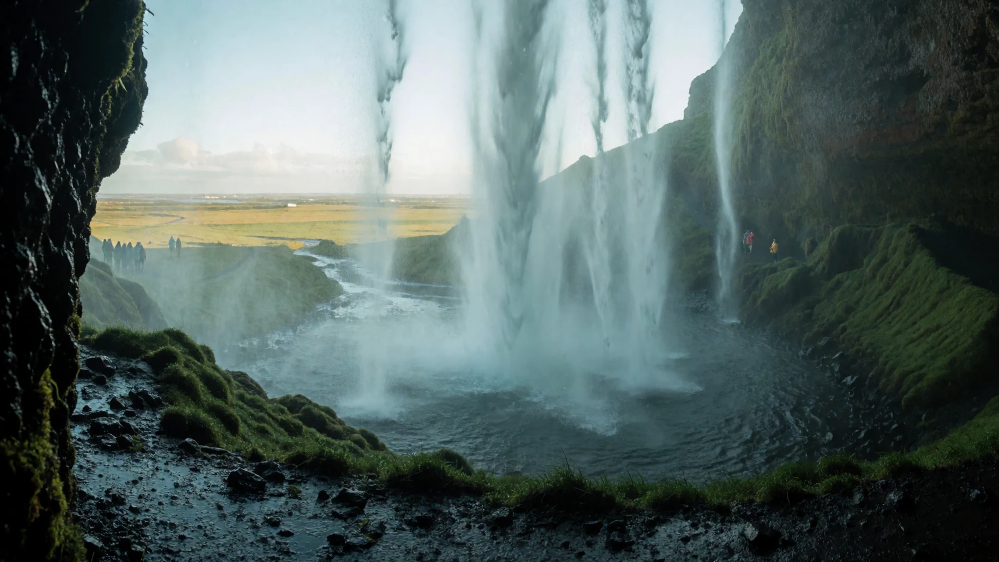
- Fjaðrárgljúfur Canyon — Near Kirkjubæjarklaustur, east of the falls
A deep canyon carved by a river, with walls that rise steeply above a narrow path. It is one of Iceland's most visited canyons, so the trail gets busy in summer. The walk is easy enough for most visitors, though the gravel can be slippery and the wind funnels hard between the rock faces. Plan it as a stop between the falls and the south coast further east.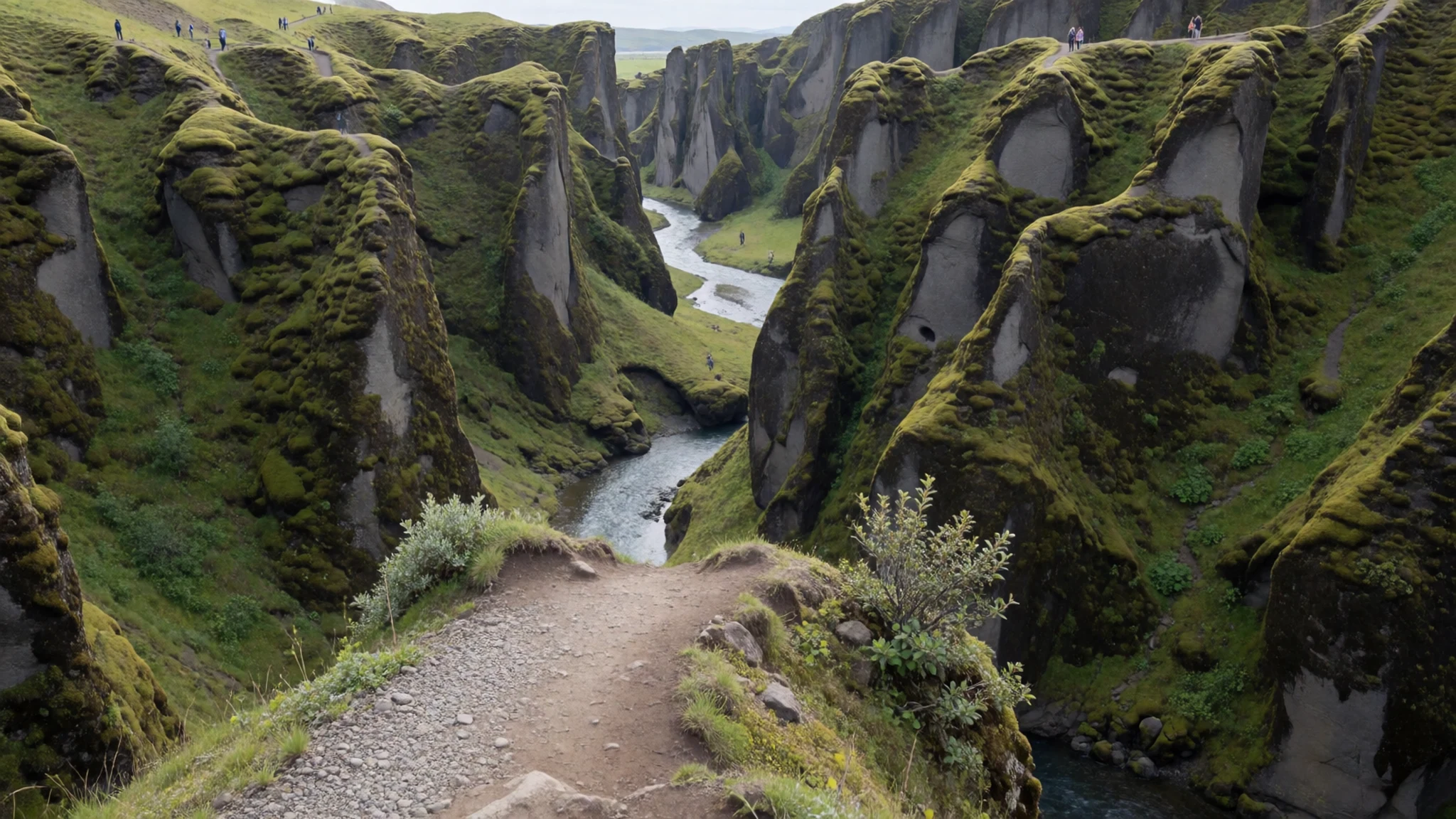
- Skógar — Coast, east of Seljalandsfoss
A small village on the coast, a short drive east of the falls, and the starting point for the Fimmvörðuháls trail over to Þórsmörk. The trail crosses high ground between glaciers, and the weather can change within minutes. Many visitors go for a day walk rather than the full crossing. Check conditions and the official site before setting out, and do not attempt it in poor weather.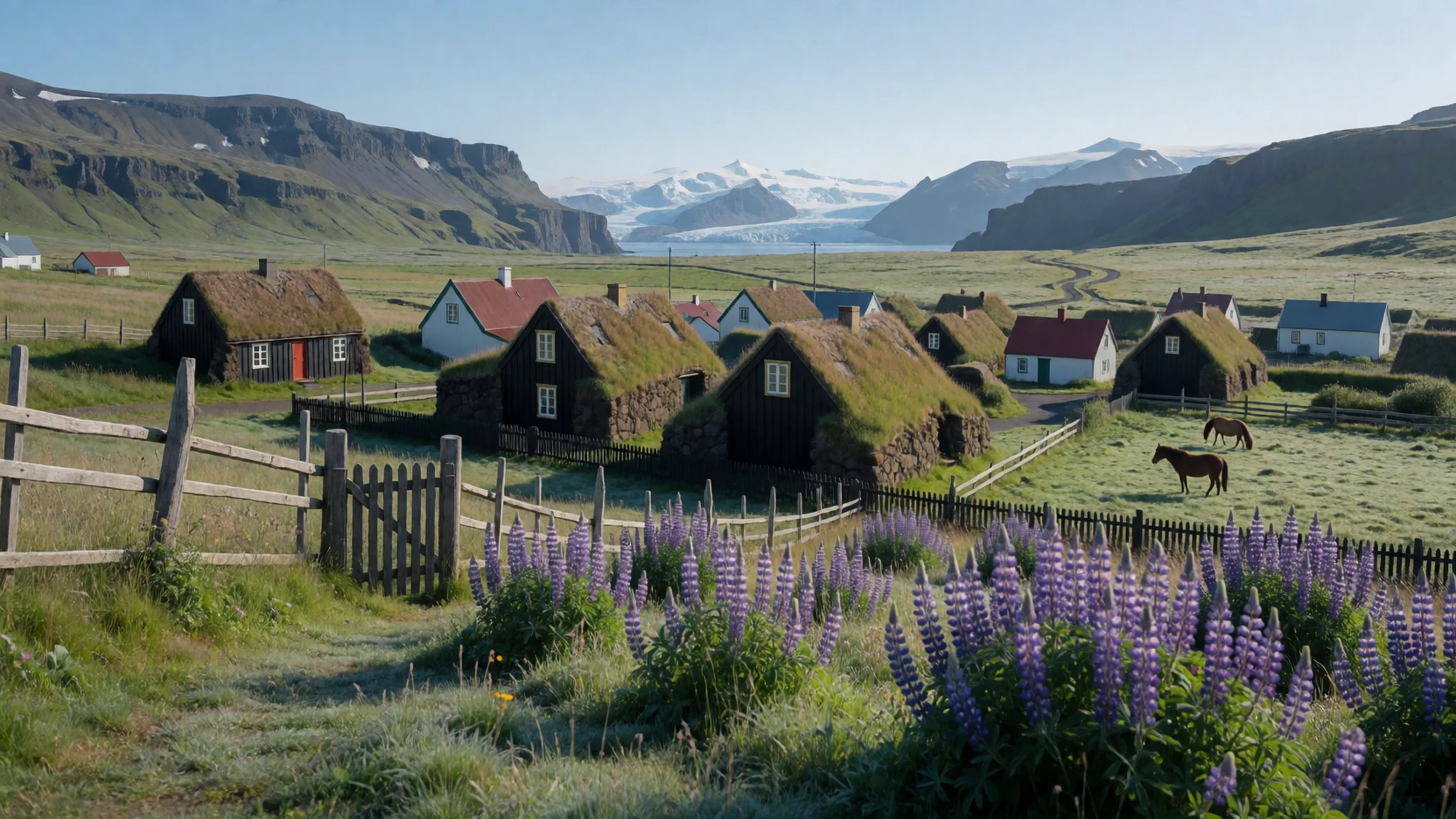
- Þórsmörk — Highlands, reached from the falls by bus
A highland valley sheltered between glaciers, reached by road and by the buses that leave from the car park at Seljalandsfoss. Its walking trails are the main draw, and the Laugavegur trail reaches it from the north over several days. Ask the bus operator about conditions before you go, since tracks can close in poor weather.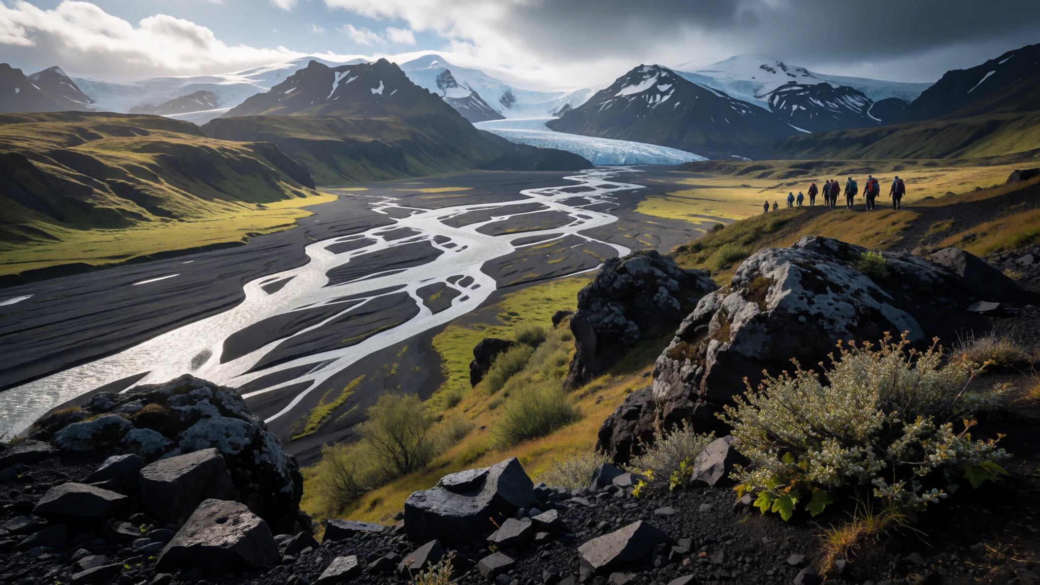
- Þingvellir — Golden Circle route, reached from Reykjavík
The old assembly site, where the Alþingi met outdoors for centuries. The ground is cut by fissures between tectonic plates, and the walk along the rift is part of the visit. It is a common stop on the Golden Circle, so expect coaches at midday. Give it a few hours if you want to walk, and check the official site for park information.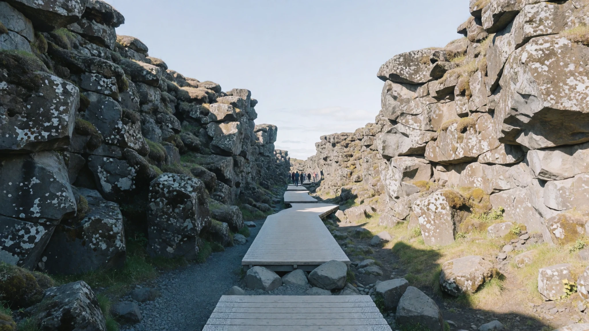
Culture
Seljalandsfoss is a natural landmark rather than a place of worship, so the manners here are about safety, the land and other visitors. Much of the countryside around it is farmland, with sheep, cattle and horses grazing close to the road. Fields and fences belong to working farms, so stay on the marked paths and shut any gate you open. Parking and campsites near the falls are shared spaces, so keep noise low in the evening and take care with tents and campfires. The south coast can turn dangerous quickly, with strong tides and sand that looks firm but is not, so heed local signs and never walk too close to the sea. Photography is welcome, but ask before you photograph a person's face or their children, and avoid flying drones near the crowds. Near the falls, keep to the paths and off the wet rocks, and take all your rubbish home with you.
What to wear
The traditional dress of Iceland is the búningur, a national costume worn at festivals and formal occasions. It has an embroidered bodice and a long skirt, usually in dark wool, finished with silver jewellery such as brooches and a belt. Icelandic wool, called lopi, is the traditional material. Its coarse, warm yarn is used for the lopapeysa, a yoked sweater knitted in undyed colours and patterns worn across the country for generations. You will still see these sweaters in shops and on farms, though most people now wear modern outdoor clothing for daily life. People in the countryside dress for the weather: waterproof shells, fleece, thermal base layers and sturdy boots. Fashion here is practical rather than showy. A visitor should dress for wind, rain and sudden cold, even in summer. Pack a windproof, waterproof jacket with a hood, a warm mid-layer such as a wool sweater, gloves and a hat. Choose boots with good grip for wet rock and loose gravel, and avoid thin trainers, because the path around the falls can be slick. There is no formal dress code at the falls, but practical clothing suits a rural site.
What to eat
- Arctic char — Restaurants and eateries in the Kirkjubæjarklaustur area and along the south coast
Arctic char from the Kirkjubæjarklaustur area is treated as a local speciality, and it is often served smoked, grilled or lightly dressed. Freshwater fishing plays a bigger role further east than along the coast. Ask at the restaurant whether the char is local, since menus do not always say.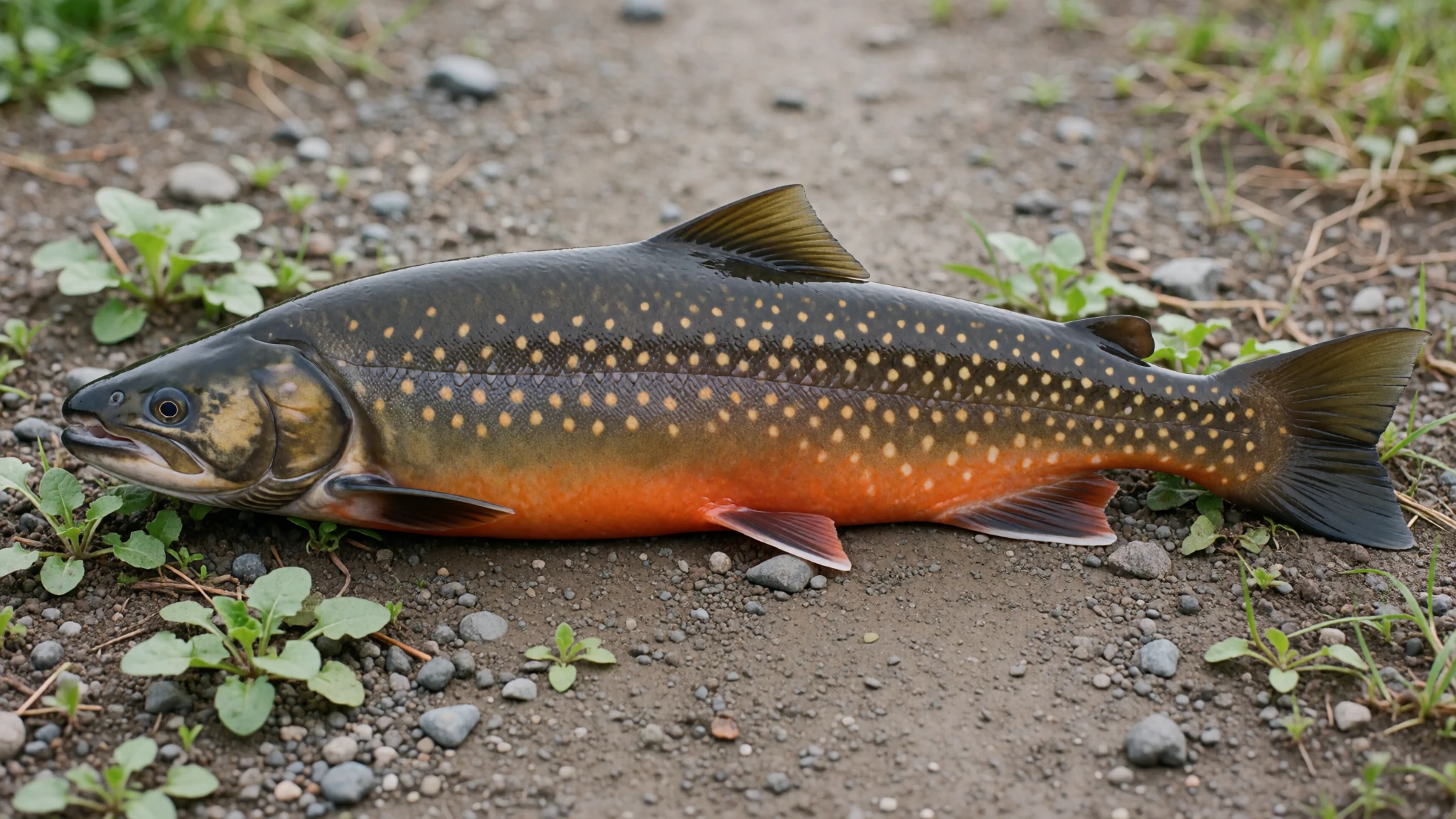
- Lamb — Farm cafés and small family restaurants along the Ring Road
Lamb is the everyday meat of the region, since sheep graze the farmland all the way to the coast. It is often roasted slowly and served with potatoes and gravy, or simmered in a soup. A plate is usually generous, so share if you are not very hungry.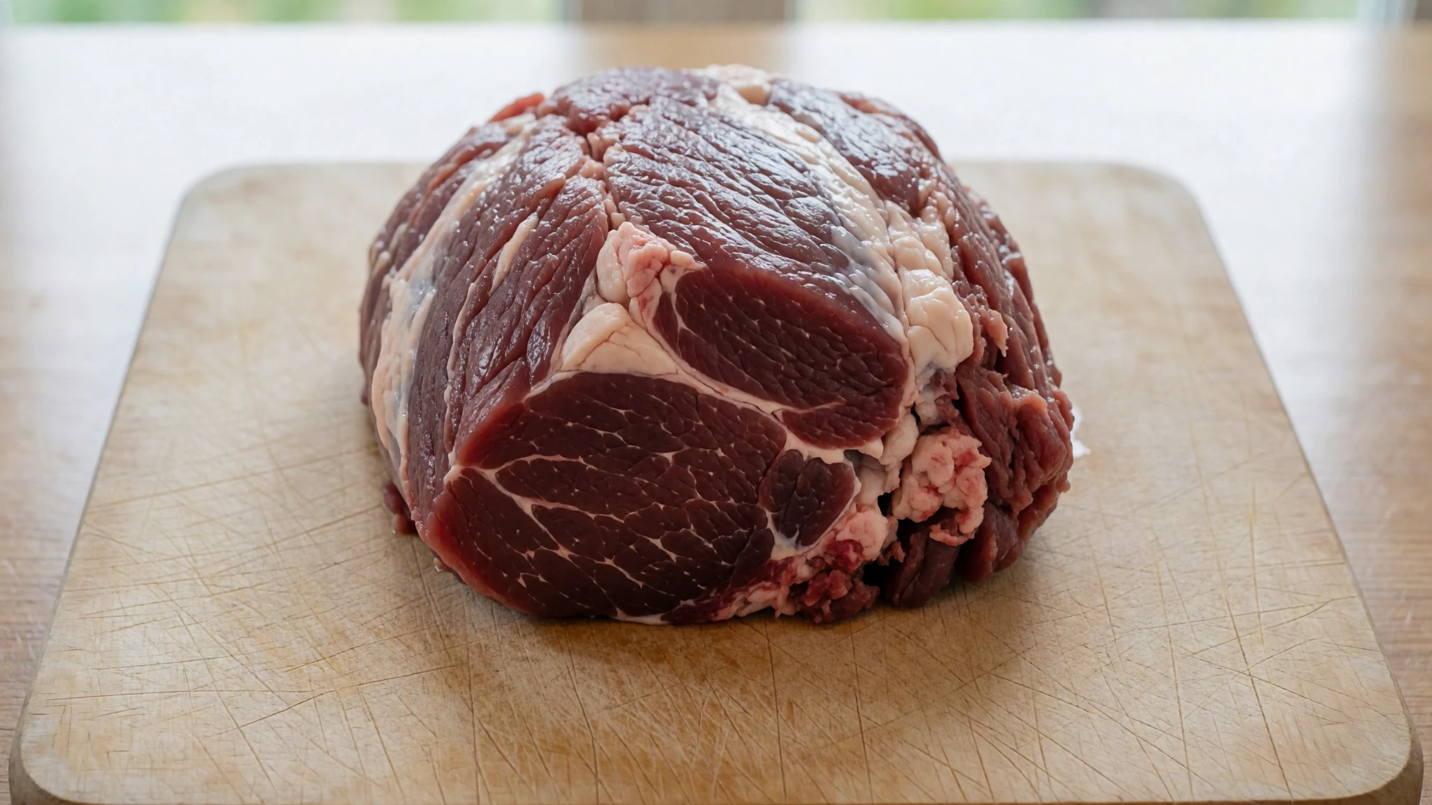
- Skyr and local dairy — Farm shops and dairy counters in western South Iceland
Skyr is a thick cultured dairy product with a sharp, creamy taste, eaten with berries or cream. The western part of the region is one of the main dairy areas in the country, supplying much of the milk for the capital. Buy skyr and local cheese direct from the farm, where you can taste before you choose.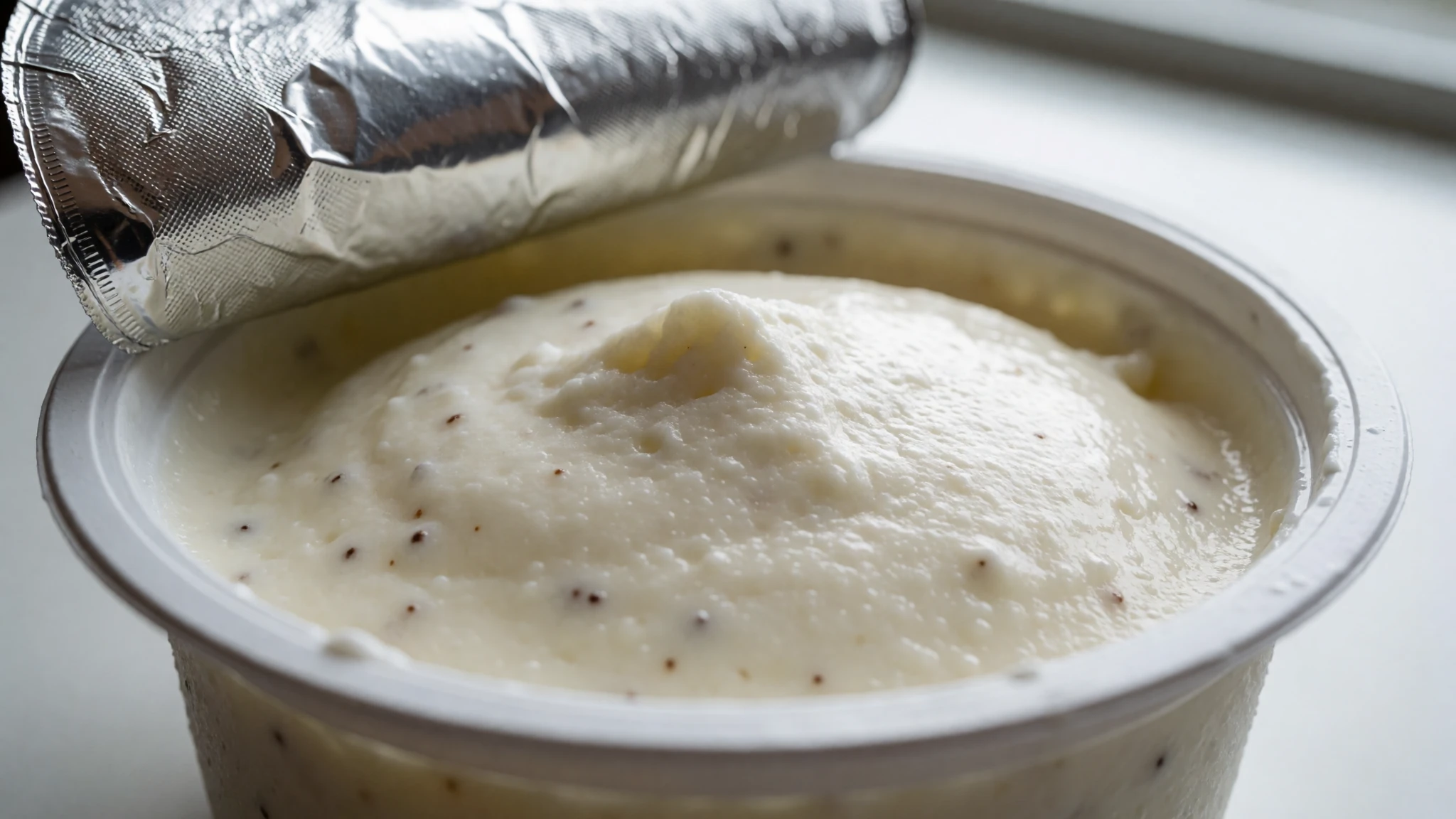
- Þorvaldseyri wheat bread — Farmers' markets, and direct from the farm at Þorvaldseyri
Þorvaldseyri is the only farm in Iceland known for growing wheat, and its grain makes a dense, nutty loaf. Buy the flour or bread direct from the farm, or look for it at farmers' markets where it goes quickly. Pair a slice with skyr for a simple lunch.
Plan it
Best time. Late June to August, when the Ring Road and highland tracks are open and the days are long, though the weather can change at any time and wind is common. Spring and early autumn are quieter and cooler. Winter brings short days, ice on the path and snow on the approach roads.
How long. 1–2
Getting there. Fly into Keflavík International Airport, near Reykjavík, then drive the Ring Road east, or join a coach tour from the capital. There are no flights to mainland South Iceland, so the last leg is by car or coach.
Budget. mid
Tips
- Check the weather and road conditions before setting out, because the south coast can be windy and rain can arrive quickly
- Go early or late in the day to avoid coach crowds at the falls
- Cards are widely accepted, but carry a little cash for farm stalls and markets
- Pack a waterproof layer and boots with grip for spray and wet rock
- Check the official site for current parking arrangements before you drive in
Etiquette
- Stay on marked paths and keep off the farmland beyond the fences
- Keep noise down at the campsite in the evening
- Ask before photographing people, and keep well back from the sea edge
Nearby
Sources
- Wikidata Q777882 (CC0)
- Wikipedia (rev 1362226209) (CC BY-SA 4.0)
- Wikivoyage (rev 5256807) (CC BY-SA 4.0)
- Seljalandsfoss — Zoran Kurelić Rabko (CC BY 3.0)
- Seljalandsfoss Waterfall, Iceland — Robert Lukeman (CC0 1.0)
- Premises of Seljalandsfoss waterfalls, Iceland — Netha Hussain (CC0 1.0)
- Icland Seljalandsfoss Luftbild, Sept. 2019 — Kasa Fue (CC BY-SA 4.0)
- Seljalandfoss at night — M1i2e3 (CC BY-SA 4.0)
- Sunset view from the back of the Seljalandsfoss waterfall — Diego Delso (CC BY-SA 4.0)
- Seljalandsfoss on the south coast of Island — Holger Uwe Schmitt (01) (CC BY-SA 4.0)
- Seljalandsfoss on the south coast of Island — Holger Uwe Schmitt (02) (CC BY-SA 4.0)


