Sangay National Park
Sangay National Park, Ecuador
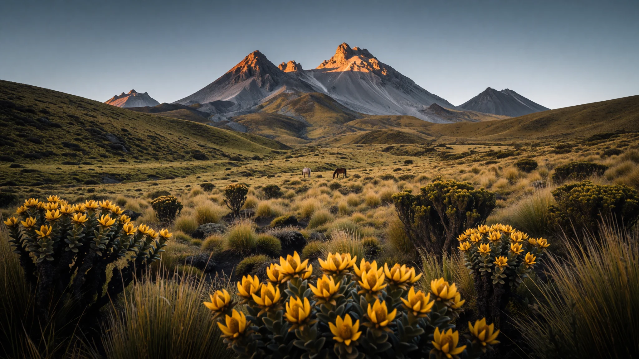
Sangay National Park is an Andean mix of volcano trails and high-elevation habitats, with scenery that stays wild even on day hikes.
The place
Sangay National Park (Parque Nacional Sangay) sits in Ecuador across several provinces, wrapping together forests, wetlands, cloud cover and high moorland into one jagged landscape. The park protects a big elevation spread, so conditions change quickly: lower valleys feel greener and milder, while higher ground becomes colder and more exposed, including the paramo grasslands used for grazing.
What makes the place feel different is the geology and the way it shapes everything. Volcano Tungurahua and the volcanic mass around Sangay bring steep slopes and constantly changing views, while El Altar (Kapak Urku) adds an extinct-volcano character and a classic hike route aimed at reaching a crater lake. In between, you’ll find cloud forests and wetlands, plus plenty of lakes feeding a larger wetland system.
Expect a sense of scale and remoteness. Access points are spread out, so plans are more about choosing the kind of day you want—birdy lakeside walks, volcanic viewpoints, or longer multi-day routes—than ticking off a single highlight. It’s not a “walk in the city and pop into a café” kind of trip; it’s slow travel in a real mountain environment, where altitude, mud and weather can matter as much as the path itself.
If crowds are your main worry, Sangay usually keeps it quiet compared with easier, better-signposted regions—just go in prepared, and treat the park like the active landscape it is.
Its story
Sangay National Park’s story is one of protection on a living, working mountain. The park was established in 1979 as part of Ecuador’s national parks system, and it later gained UNESCO World Heritage status in 1983—recognising the blend of habitats and the park’s biodiversity. There’s also a more complicated chapter: it was placed on the List of World Heritage in Danger in 1992, linked to pressures like illegal poaching, grazing, and issues around roads and the park boundary. It was later removed from the endangered list in 2005.
On the ground, that history shows up less as paperwork and more as the reality of land-use in the valleys. Lower areas can look lived-in, with farms and pastoral activity, while higher zones shift into open grassland and chilly air. That contrast is part of the experience: the park doesn’t feel like a sealed museum. It feels like a corridor where different ecosystems meet, and where human livelihoods sit alongside conservation.
Volcanoes are the other half of the narrative. Tungurahua and Sangay are active, so the terrain reads as newly shaped—steep, dramatic and slightly unforgiving. Even with a short hike, the walk can turn muddy and slow, especially where horses are involved. The good news is that the effort pays back in texture: crater-lake basins, windswept highlands and dark, volcanic ridges that look different as clouds roll through.
For many travellers, Sangay is less about completing a checklist and more about learning the pace—layer up, move carefully, and let the weather set the day’s rhythm.
What to see
- El Altar crater-lake hike (Kapak Urku) — El Altar (Kapak Urku), Parque Nacional Sangay
Hike from Candelaria toward the crater lake in the extinct volcano El Altar (Kapak Urku). The final lake sits inside a dramatic horseshoe-shaped remnant, and the walk can be muddy from constant horse traffic—plan for slow going and good footing. This route starts near Hacienda Releche.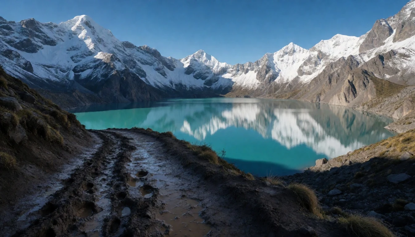
- Sangay volcano slopes — Sangay volcano area, Parque Nacional Sangay
Sangay National Park’s volcano country means views that feel constantly unfinished—dark slopes, changing light, and cloud that can move in fast. A day on the mountain terrain is about reading the landscape rather than finding one fixed viewpoint, with the volcanic character shaping the paths and the air temperature.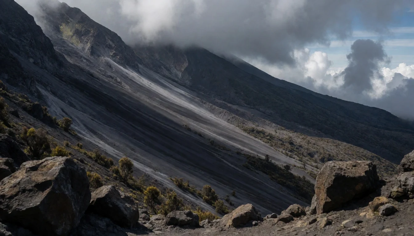
- Laguna la Magdalena (birdlife habitat) — Laguna la Magdalena, Parque Nacional Sangay
Laguna la Magdalena is a lakeside stop in the Sangay region where calm water meets highland habitat. If you like wildlife-watching, this kind of lakeshore can be more rewarding than you’d expect, with bird activity tied closely to the wetland and cloud-forest surroundings.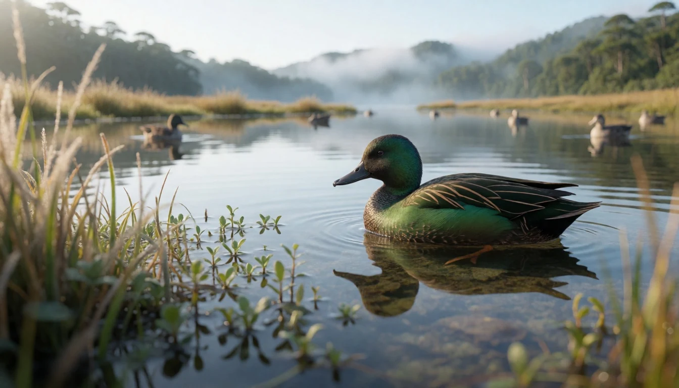
- Complejo de lagunas de Ozogoche — Complejo de lagunas de Ozogoche, Parque Nacional Sangay
The lagunas of Ozogoche bring the park’s water-and-wetland mood into the open highlands. The area is known for multiple connected lakes, and it’s a good place to slow down—watch the reflections, breathe in the wind, and keep an eye on changing sky over the high grasslands.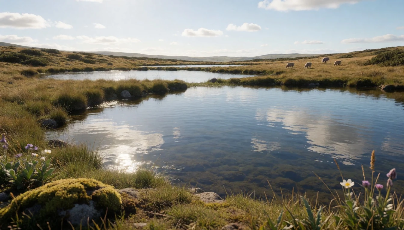
Culture
Sangay National Park is about more than scenery; it’s also a working landscape with local movement through the valleys and high moorlands. In lower areas, farms and grazing keep the environment stitched to nearby communities, while higher elevations shift into paramo grasslands that are used for grazing. In practice, that means trails can feel muddy and animal traffic isn’t an oddity—it’s part of how access works in some areas.
Because the park’s protection has included periods of pressure and recovery, it also helps to treat the place carefully: stick to routes, don’t wander into sensitive wetland edges, and keep group impact low. In many mountain settings, the “right” behaviour is straightforward—be quiet around wildlife, pack out what you bring, and take your time with the track so you don’t broaden it with shortcuts.
Visitors sometimes underestimate how changeable conditions can be at altitude, so planning for cold evenings and damp mornings is part of respecting the environment. When weather turns, impatience can lead to slip-ups and damage to fragile ground. When it’s dry, it still pays to move gently through grassland and along lake margins.
Visitor etiquette: keep to the track, avoid cutting across wet ground, and pack out all rubbish even if it looks like “nature can take it.”
What to wear
Traditional dress in the Sangay region is mostly a background detail for travellers, but Ecuadorian Andean textiles are part of the broader cultural fabric: woven wool garments are common in mountain climates, often layered for warmth and weather. Colours and patterns vary by community, and the textiles’ job is practical—keeping the wearer warm when temperatures drop quickly in the highlands.
Day-to-day, locals and guides tend to dress for working outdoors: sturdy layers, wool or warm synthetics, and shoes that cope with mud. In the park, you’ll see practical footwear and weatherproof outer layers more than anything ceremonial.
For visitors, the best approach is layers. Bring a warm top and a proper rain layer, because cloud and wet can arrive without much warning. Use trekking footwear with grip for muddy sections, especially where horses have worn down paths. Long trousers are a good idea for grassland and thorny edges near trails. If you’re heading high into chilly paramo conditions, pack a hat and gloves—nights can be cold and the air can bite even when daytime feels okay.
Also plan for modest, low-profile clothing around any settlement areas at trailheads: keep shoulders and midriff covered and avoid flashy items that draw unwanted attention.
What to eat
- Local Ecuadorian soups and stews — Trailhead towns and roadside eateries near access routes
Warm up with hearty soups and stews available around trailhead towns and along regional roads. These are the kind of meals that make sense before a long, cold walk—comforting, filling, and easy to share after a day on wet ground.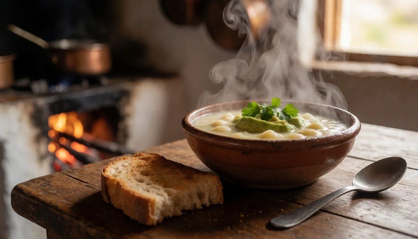
- Casseroles and rice dishes — Local restaurants and family-run eaters in nearby towns
After hiking, many visitors end up with simple casseroles or rice-based plates at small family-run restaurants. They’re practical for refuelling without overthinking, and they fit the rhythm of multi-day trips where meals follow the weather and trail pace.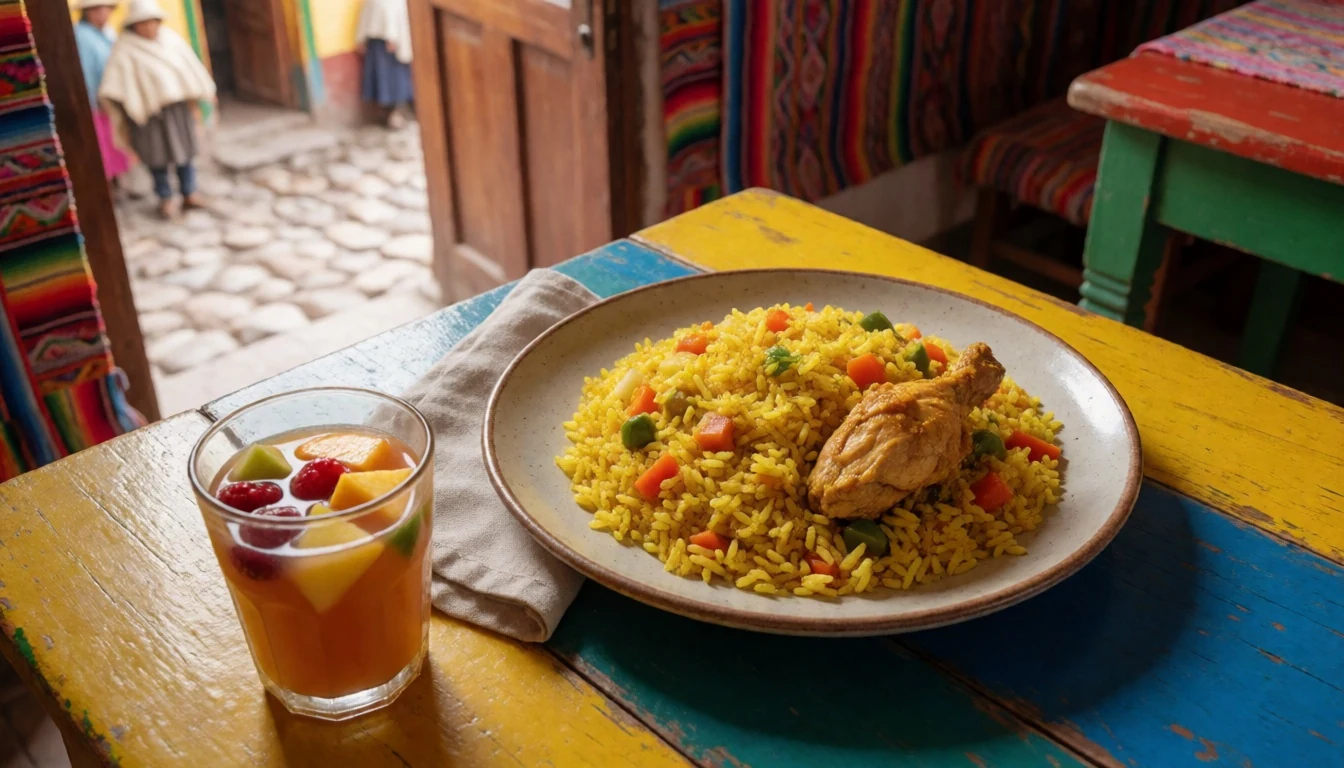
- Andean grain and potato dishes — Small eateries serving Andean staples in surrounding provinces
The highlands are known for ingredients like potatoes and local grains, showing up in filling sides and mains. Look for dishes that balance starchy comfort with whatever vegetables are available in-season, ideal for days when altitude makes you hungry. - Fresh seasonal fruit and juices — Market stalls and roadside juice stands
Between hikes, fresh fruit and simple juices are a reliable, refreshing option. It’s a good way to keep energy up without going heavy, and you’ll find them at casual stops near bus routes and town centres. - Street-style snacks before a trek — Bakeries, kiosks and informal snack counters near terminals
For an early start, look out for basic portable snacks—something you can eat quickly before heading toward the park. The best choices are the ones that travel well and won’t feel too heavy when you’re walking for hours.
Plan it
Best time. March–April and late October–November are reliable for mountain travel in Ecuador; June tends to bring rainy conditions and August can be hot and humid at lower elevations, so plan layers for shifting weather and colder high ground.
How long. 3–4
Getting there. Fly into Ecuador and connect to Riobamba for common access routes. From Riobamba, take local transport to Candelaria for the El Altar area, then continue on foot or via the arrangements on the ground for the hike start.
Budget. mid
Tips
- Choose an access point that matches your fitness: shorter lake walks versus longer volcano routes
- Start early to give yourself daylight for muddy sections and changing cloud cover
- If you’re doing the El Altar crater-lake hike, expect heavy mud and plan footwear accordingly
- Carry warm layers even in daytime—high grassy paramo conditions can get cold quickly
- Ask locally about current trail conditions and route options before committing to a long day
Etiquette
- Keep to the marked path and don’t cut across wet ground near lakes and wetlands
- Move quietly around wildlife and avoid sudden flashes or intrusive behaviour
- Follow any guidance from guides about safe footing in muddy, horse-worn sections
Nearby
Sources
- Wikidata Q839603 (CC0)
- Wikipedia: Sangay National Park (rev 1362904217) (CC BY-SA 4.0)
- Wikivoyage: Sangay National Park (rev 5089859) (CC BY-SA 4.0)
- Photo: Ecuador SanguayNationalPark.JPG (CC BY 3.0)
- Photo: Sangay2.jpg (CC BY 3.0)
- Photo: Ama_la_Vida_-_Flickr_-_ANDES_Laguna_de_Atillo_Parque_Nacional_Sangay_(8226339107).jpg (CC BY-SA 2.0)
- Photo: Andean-Teal.jpg (CC BY-SA 4.0)
- Photo: Burneo%E2%80%99s_Oldfield_Mouse_(Thomasomys_burneoi)_(Vertebrate_Zoology_2022).jpg (CC BY 4.0)
- Photo: Complejo_de_lagunas_de_Ozogoche.jpg (Public domain)
- Photo: Ecuador Horses intheSanguayNationalPark.JPG (CC BY 3.0)
- Photo: H_Atillo_0305_001_(16672430223).jpg (CC BY-SA 2.0)


