Sakhalin
Sakhalin, Russia
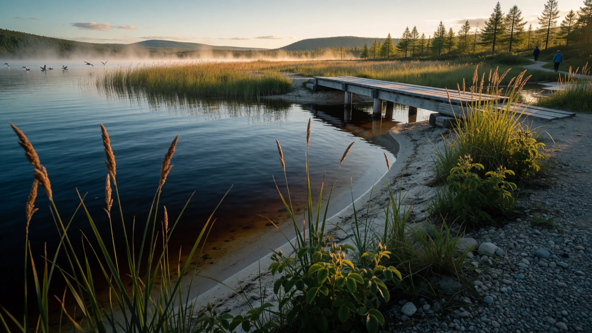
Sakhalin is a long, fog-wrapped Russian island where Ainu, Nivkh, Japanese and Russian histories meet, with cold seas, salmon and few visitors.
The place
Sakhalin is a long, narrow island off the Pacific edge of Russia, home to about 670,000 people. It runs north to south between the Sea of Okhotsk on one side and the Sea of Japan on the other. At the northern end, a strait of roughly 6.5 km separates it from the Russian mainland; at the southern tip, Hokkaido in Japan lies about 40 km away, close enough that the two places have traded, fought and swapped ownership over the centuries. Administratively it forms Sakhalin Oblast, and the regional capital, Yuzhno-Sakhalinsk, is where most visitors arrive. As Russia's biggest island, covering about 72,500 square kilometres, it is a place where distances are real and public transport thins out quickly beyond the main towns.
The climate comes from the Sea of Okhotsk: cold, damp and changeable. The south is humid continental, while subarctic cold takes over through the middle and north. Summer is cooler than in inland cities at a similar latitude, and grey and misty more often than sunny. Snow piles up in winter, though the frosts are less savage than on the continent. Rain is heavy, especially in the southern mountains, and storms roll in from the Pacific in autumn.
Most residents are Russian. The Ainu, Oroks and Nivkh are the indigenous peoples, and they are few in number today. The island's name comes from a Manchu word, Sahaliyan, a reminder that it has been named and claimed from several directions. Expect a working, weather-beaten place rather than a resort. Its appeal is wild coast, birdlife, diving and a deeply layered history.
Its story
People have lived on Sakhalin since the Neolithic. Flint tools turn up at Dui and Kusunai in large numbers, along with polished stone axes, simple decorated pottery and stone weights for fishing nets, which point to communities working the coast. Later inhabitants who knew bronze left earthen banks and shell middens around Aniva Bay.
In historical times three indigenous groups shared the island: Ainu lived in the south, Oroks across the centre, and Nivkh towards the northern end. Their neighbours on the mainland were powerful. After the Mongols absorbed the lands of the Jin dynasty in 1234, raiding by the Nivkh and Udege pushed them to act, and in 1263 they set up an outpost at Nurgan, near today's Tyr, where the Amur and Amgun rivers meet, bringing both peoples under their rule.
For the Nivkh, submission had a practical side: it made the Mongols allies against the Ainu, who had pushed into their territory. Chinese records of the Yuan period describe the Ainu, called Guwei in the Nivkh language, crossing over to fight the Nivkh year after year, and the Mongols attacked the Ainu in late November 1264. Later the island's Ainu gave tribute to Chinese rulers under three successive dynasties and accepted titles from them, though control from China was mostly light.
That pattern, local peoples caught between larger powers, set the tone for what followed. Over the past thousand years China, Russia and Japan each claimed the island at different times, and the Japanese name Karafuto and the Russian name Sakhalin still mark those layers. A Japanese map of 1810 by Mamiya Rinzo is credited with showing it clearly as an island.
What to see
- Lake Tunaycha — Western coast, south of Yuzhno-Sakhalinsk
A string of shallow lakes along Sakhalin's western coast, about 45 km south-east of Yuzhno-Sakhalinsk, including the biggest freshwater lake on the island. Bird watchers and walkers like it as an easy break from the capital's concrete. There is no tidy visitor system, so arrange a car or tour, or ask about a minibus towards Svobodnaya or Okhotskoye.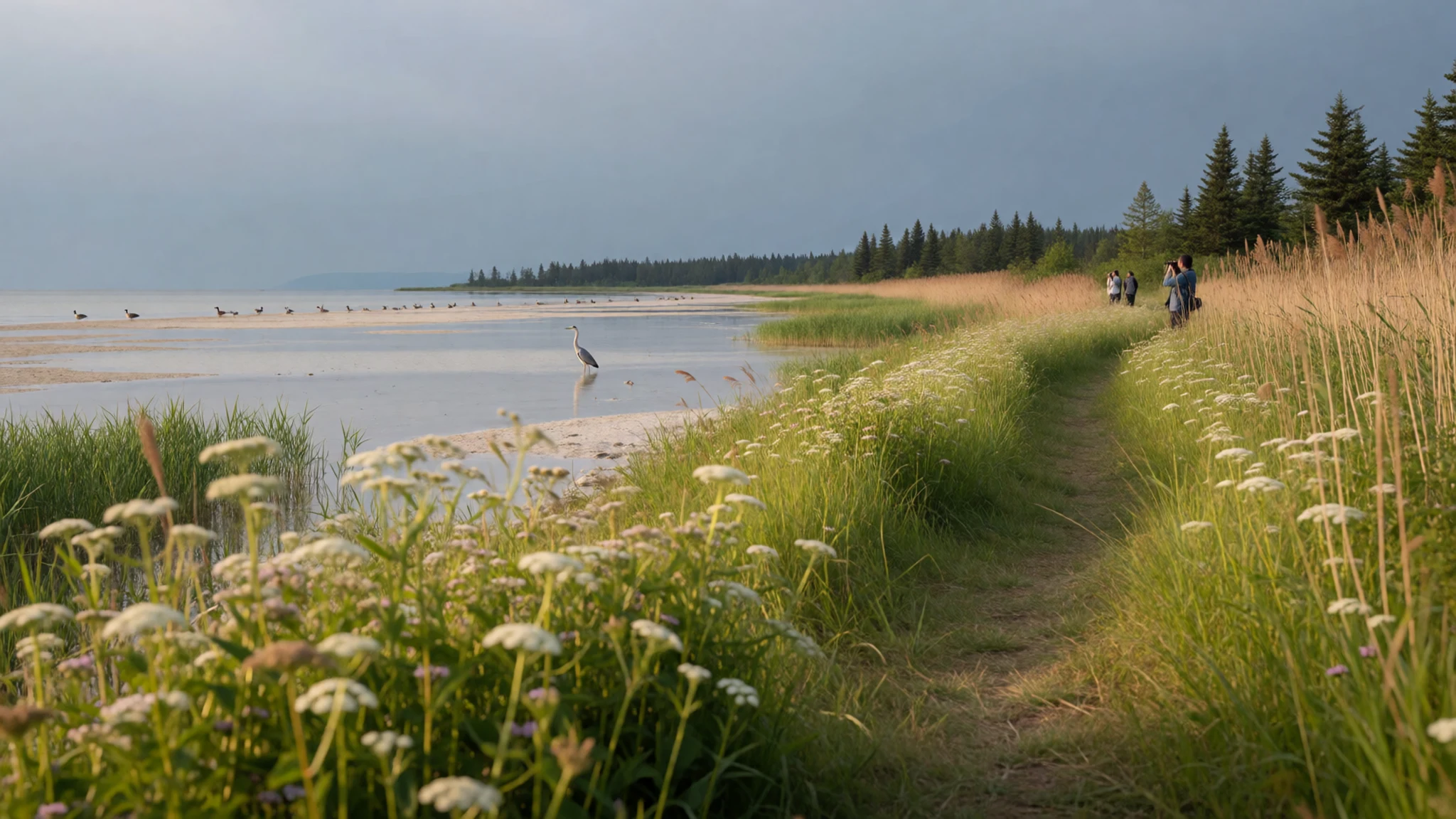
- Moneron Island — Sea of Japan, south-west of Kholmsk
A small, uninhabited island south-west of Kholmsk, Moneron (Japanese Kaibato) is a marine park popular with divers, snorkellers and bird watchers. A warm current brings even subtropical species, and visibility can reach 30–40 metres on good days. Poaching is a growing worry, so go with a local operator and take nothing from the water.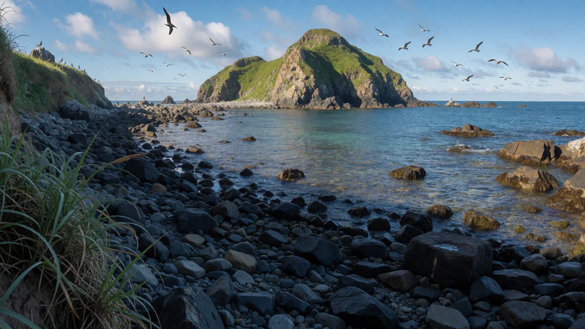
- Anton Chekhov Museum, Alexandrovsk-Sakhalinsky — Alexandrovsk-Sakhalinsky, western coast
Alexandrovsk-Sakhalinsky, on the western coast in the north-centre of the island, has a museum to the writer Anton Chekhov on Chekhova Street. It is a modest, literary stop that opens a window onto the island's settler and convict era. Check locally for opening arrangements before making the trip.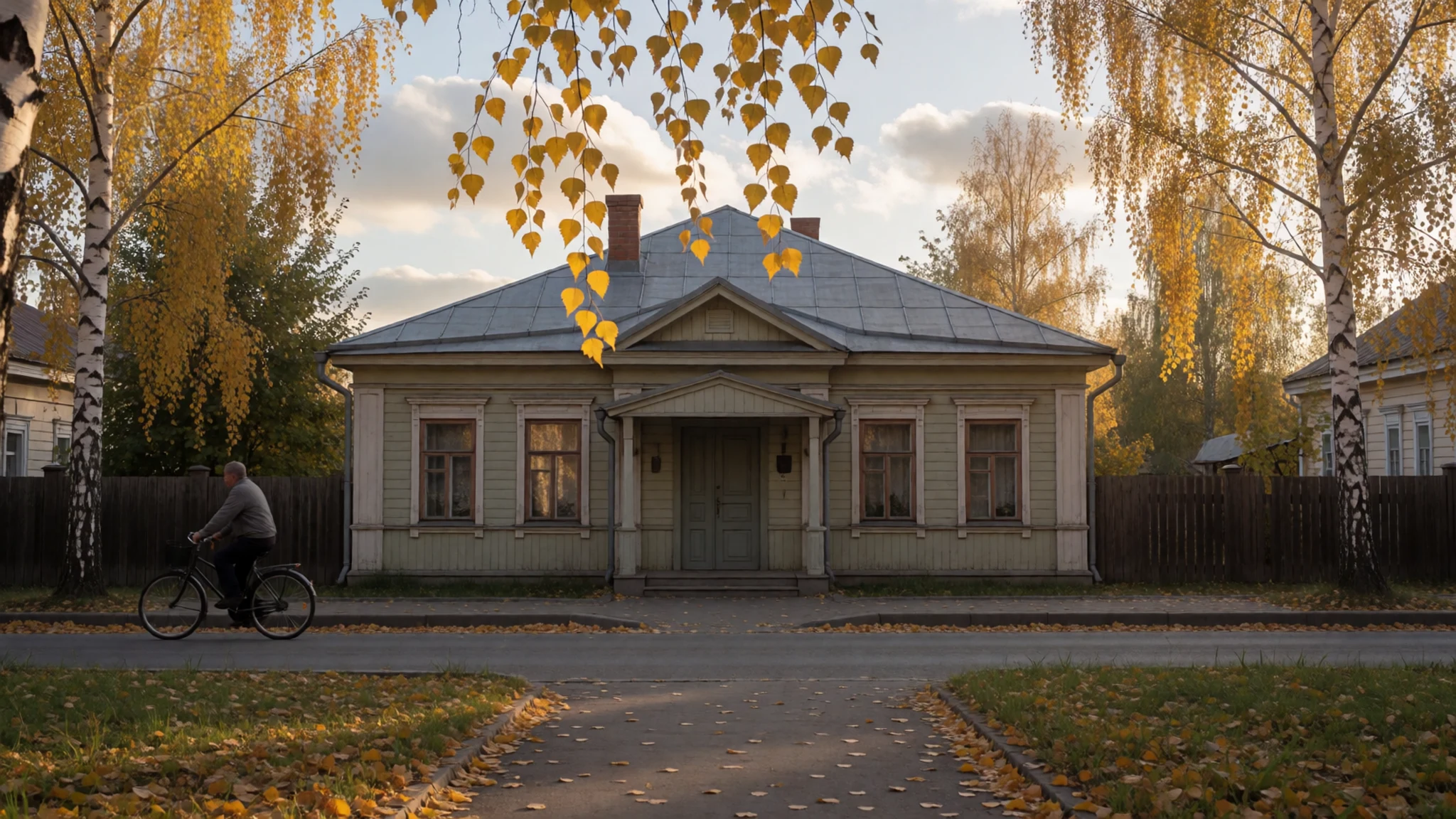
- Aniva Bay — Southern coast
Aniva Bay, on the southern coast, is where archaeologists found traces of a bronze-using population: earthen walls and shell middens. There is little to see beyond grassy shore and cold sea, so it suits people who enjoy reading history into a coastline. Local guidance helps to find accessible spots and avoid private or restricted land.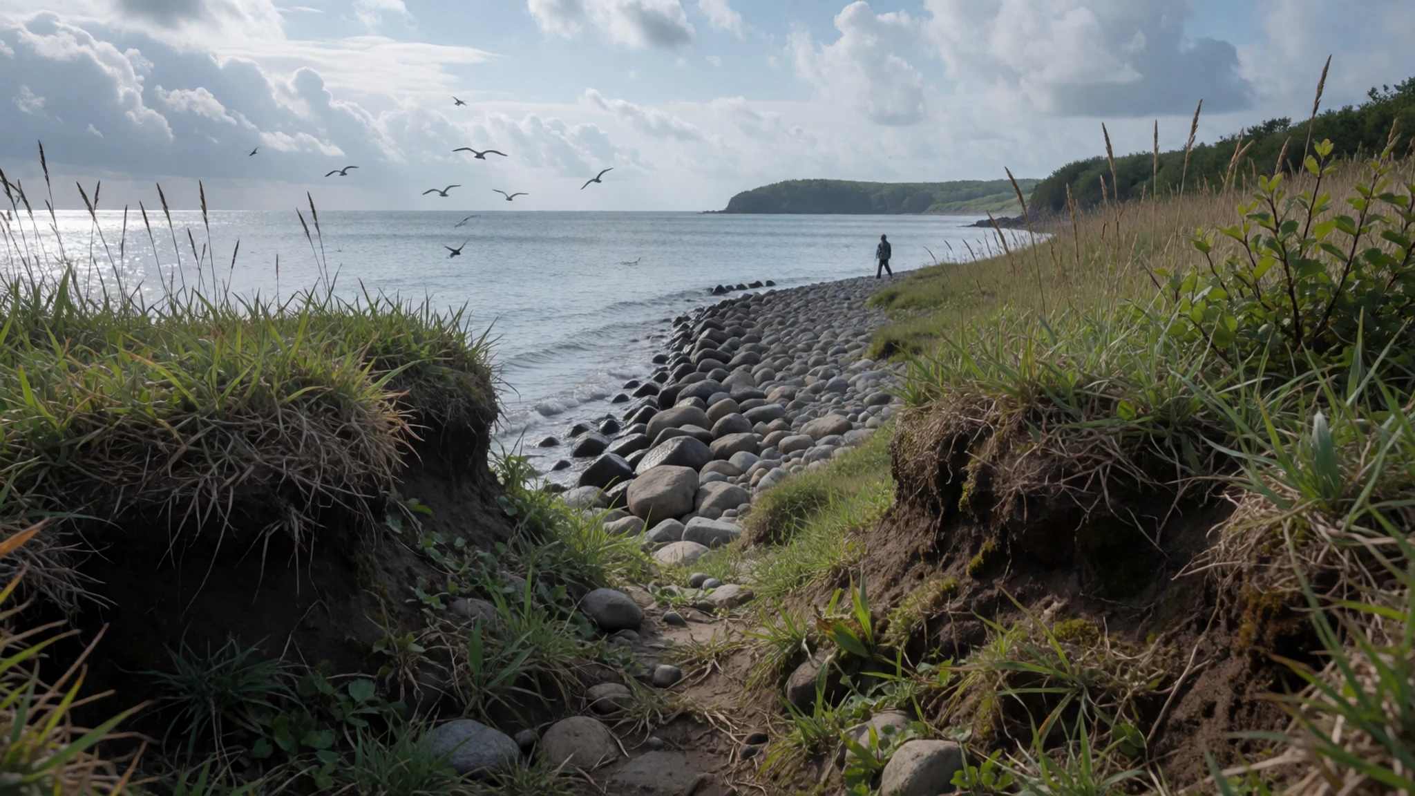
- Yuzhno-Sakhalinsk — Southern Sakhalin, regional capital
Yuzhno-Sakhalinsk is the island capital and the practical base for any trip. It has restaurants of many cuisines, tour agencies for the lakes and coast, and most of the arrival and onward connections. It offers concrete more than charm, but it is useful for stocking up and arranging transport before heading out.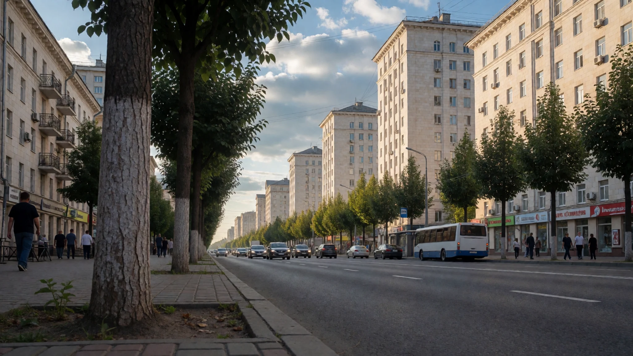
Culture
Culture on Sakhalin is mostly Russian in everyday life, shaped by settlers, convicts, soldiers and workers who arrived over the past two centuries, with an older indigenous layer of Ainu, Oroks and Nivkh underneath. Those peoples are few in number today, so their traditions are best met through museums and local cultural events rather than on the street. Russian Orthodox churches, including the wooden ones that appear in old photographs of settler villages, mark the settlement era, while Chekhov's connection to the island keeps literature part of its identity. The Japanese period, when the south was known as Karafuto, survives mostly in names and old maps, and Japanese visitors still take an interest in it.
Daily life follows the weather: long dark winters, short grey summers and a habit of gathering indoors over tea, soup and salted fish. Conversation tends to be reserved at first and generous once under way, and a few words of Russian go a long way, since English may be limited outside the larger towns. Food is a social thing, with toasts and shared plates at the table, and refusing a second helping can take some polite effort. Take your shoes off at the door of any home you are invited into, and in an Orthodox church dress modestly, keep quiet, and ask before photographing people or services.
What to wear
Fashion on Sakhalin splits into an old indigenous layer and a practical modern one. Traditionally, the Ainu wore robes of attus, a cloth woven from elm-bark fibre, often with bold embroidered patterns around the hem and cuffs. The Nivkh and Oroks, living by rivers and coast, made clothing and boots from fish skin and animal hides, which shed water well and held up in deep cold. These garments are now rare outside museums, festivals and craft revivals, so a visitor is more likely to see them on display than worn.
Everyday dress in Yuzhno-Sakhalinsk and the other towns is plain, layered and led by the weather: down jackets, wool hats and waterproof boots, with fur hats in the coldest months and smarter clothes for restaurants and offices. People dress neatly in town even in rain and fog.
Visitors should pack for damp and wind rather than heat, even in summer: a waterproof shell, a fleece or wool layer, and sturdy waterproof shoes or boots for muddy paths, lake shores and coastal tracks. For Orthodox churches, women usually cover their hair and shoulders and wear skirts or trousers that reach past the knee, and men remove hats. In winter, add thermal layers, insulated boots with good grip, gloves and a warm hat.
What to eat
- Crab (Крабы) — Seafood restaurants in Yuzhno-Sakhalinsk and fish stalls in the town markets
Sakhalin's cold waters supply crab, boiled and served simply, often with bread and butter or in salads. Crab is a staple of local menus, and fresh catches are the point. Prices vary with season and size, so ask before ordering.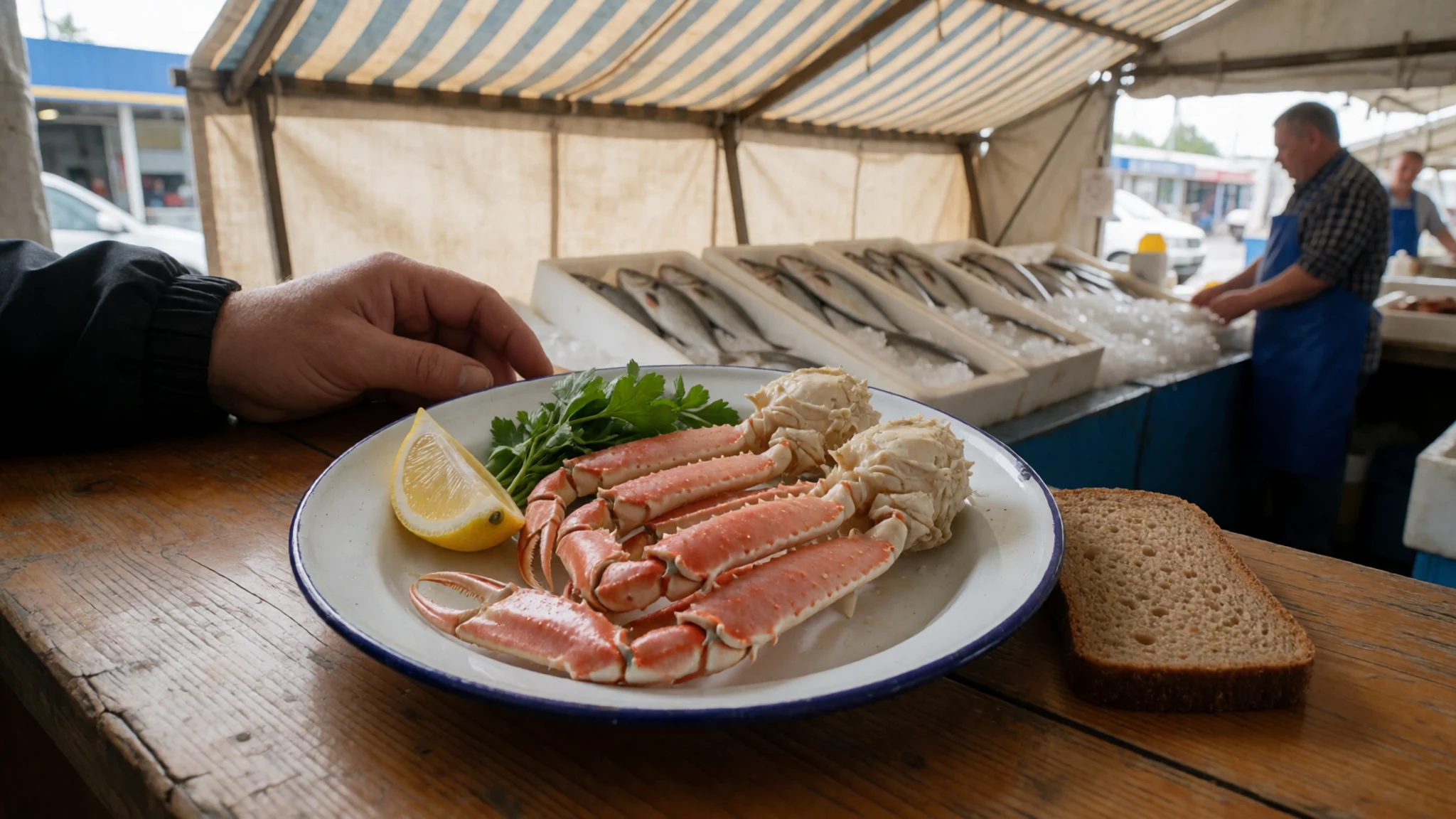
- Smoked salmon (Копченый лосось) — Town markets and fish counters
Salmon runs through the island's rivers in season and is widely available and often inexpensive. Smoked fillets or slices make good picnic food for long drives, sold by weight and best eaten thin on rye bread.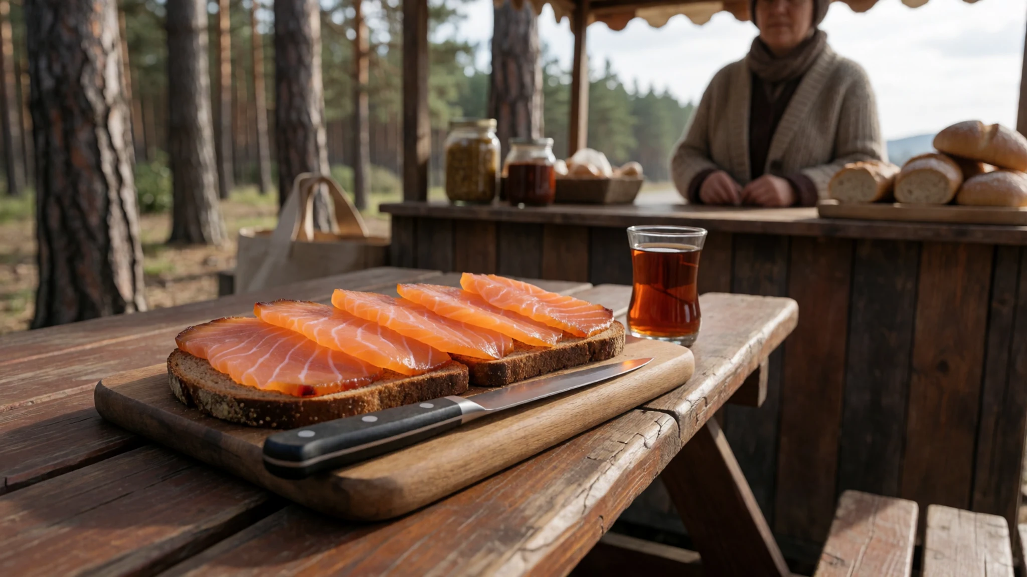
- Fried smelt (Корюшка жареная) — Ordinary Russian-style canteens and eateries
Small silvery smelt, fried whole until crisp and eaten with the bones soft enough to chew. A homely plate that works as a starter or a beer snack. A squeeze of lemon and a dish of sour cream or sauce are the usual accompaniments. - Red caviar (Красная икра) — Markets, food shops and starter menus
Salmon roe, salted and spooned onto buttered bread or blini. Bright orange and salty, it is a celebratory food across Russia and is easy to find here because the salmon are local. Buy sealed jars from a reputable counter. - Fish soup (уха) — Home-style Russian restaurants and canteens in towns along the coast
A clear, light broth cooked with fresh river fish, potato, onion and herbs, and often served as a first course. It is the sort of dish that tastes best after a cold day outdoors, and it makes good use of the salmon catch.
Plan it
Best time. July to September is the practical window: the sea keeps summers cool and fog is common, but roads, boats and trails are open. Autumn storms bring heavy rain, and winters are cold and very snowy, suited only to those who want snow.
How long. 4–6
Getting there. Most visitors fly into Yuzhno-Sakhalinsk, the island capital, from other Russian cities; check current routes and entry rules before booking. From there, onward travel is by road, minibus or a tour operator.
Budget. mid
Tips
- Check your government's current travel advice for Russia and the visa rules before planning, as both change.
- Sights such as the lakes and Moneron have no regular public transport, so arrange a driver, tour or boat in advance.
- Pack waterproofs and layers; summer fog and rain are common and weather can cancel boat trips.
- Work out in advance how you will pay, as foreign cards may not work, and carry some cash for markets and small places.
- Allow spare days around coastal and island trips, because sea and weather can change plans.
Etiquette
- Remove your shoes when entering a private home.
- Dress modestly and stay quiet in Orthodox churches, and ask before photographing people.
- Do not buy or take illegally caught fish, crab or sea life, as poaching harms the coast.
Nearby
Sources
- Wikidata Q7792 (CC0)
- Wikipedia: Sakhalin (rev 1384205261) (CC BY-SA 4.0)
- Wikivoyage: Sakhalin (rev 5416767) (CC BY-SA 4.0)
- Photo: The north-eastern corner of a map of China, Giacomo Cantelli da Vignola and Giovanni Giacomo de Rossi (Public domain)
- Photo: General Map of the Chinese Empire and Japan, Adrien-Hubert Brué (Public domain)
- Photo: Map of Karafuto and the Amur estuary, Mamiya Rinzo (CC0 1.0)
- Photo: Sahalin Island, Jean Baptiste Bourguignon d'Anville (Public domain)
- Photo: Discoveries made in 1787, Jean-François de Galaup, comte de La Pérouse (Public domain)
- Photo: Karafuto in the Edo period, Bunkidō (Public domain)
- Photo: Anton Chekhov museum, Alexandrovsk-Sakhalinsky, Harveyqs (CC BY-SA 4.0)
- Photo: Settler's way of life, near church at holiday, from V. M. Doroshevich, Sakhalin (Public domain)


