Río Plátano Biosphere Reserve
Río Plátano Biosphere Reserve, Honduras
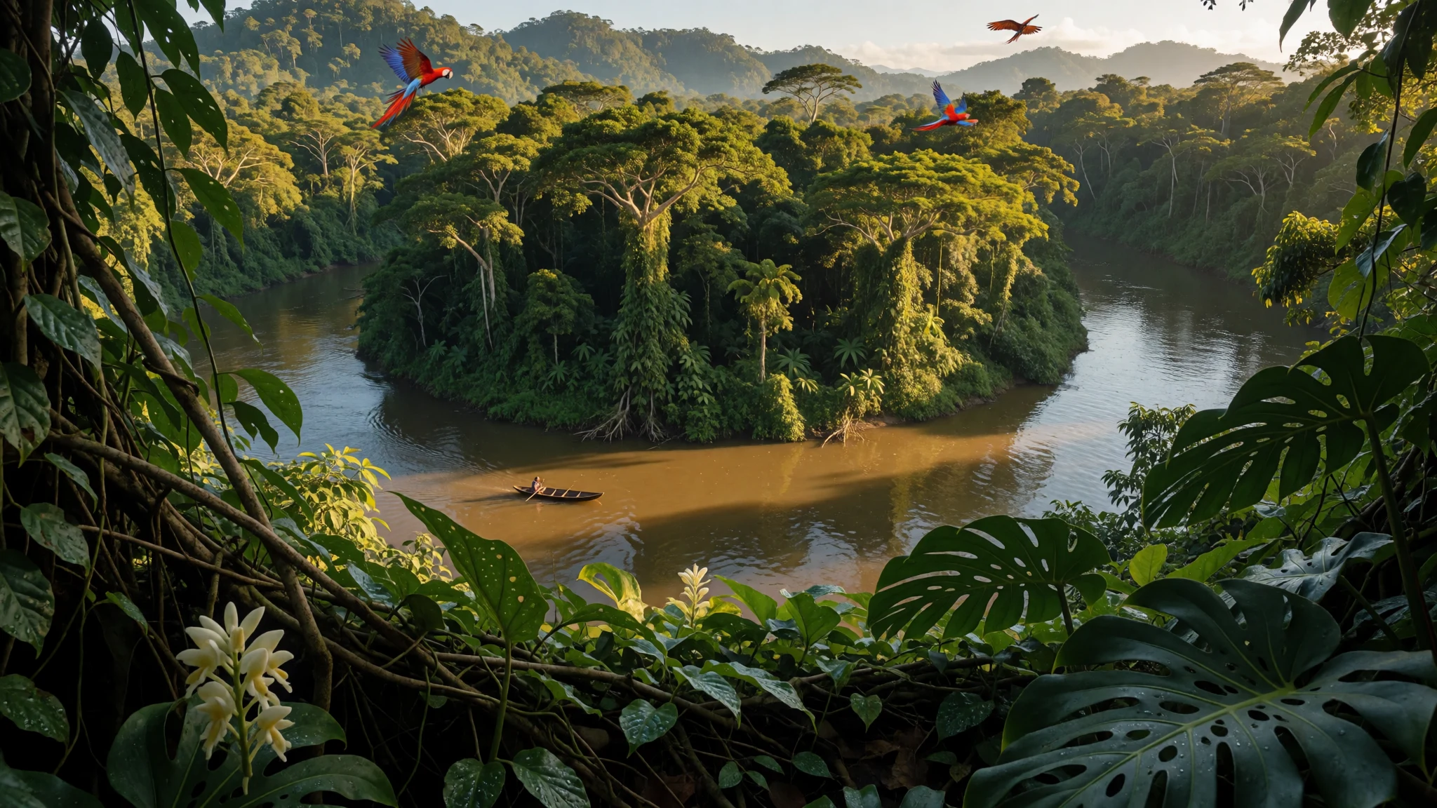
Río Plátano Biosphere Reserve pairs river travel with rainforest wildlife and indigenous-led tourism, in a remote place where logistics matter.
The place
Río Plátano Biosphere Reserve sits in Honduras’ Gracias a Dios department, stretching along the course of the Río Plátano from the Caribbean lowlands up into mountainous terrain. It’s a protected area built around forest conservation, but it’s also a cultural landscape: communities live here, and many visitors experience the reserve through river travel and guided hikes rather than fixed “attractions”.
The reserve covers a wide range of habitats, which helps explain the strong reputation for wildlife and plant diversity. It’s connected to the Mesoamerican Biological Corridor, a broader north-to-south conservation idea across Central America. In terms of environmental value, the setting matters as much as any single viewpoint: waterways, forest edges, and seasonal conditions all shape what’s possible on the ground.
Getting a feel for the reserve often starts with the river itself. Many routes follow the Río Plátano corridor, crossing between different zones that are managed differently, from areas focused on conservation to places with more community activity. Along the way, you may hear about archaeological remains and local traditions, but the everyday reality is muddy paths, humidity in the lowlands, and the practical need for reliable guides.
Río Plátano has also faced serious conservation pressure, including illegal hunting, logging, and land clearing for grazing. That blend of abundance and fragility is why travel here feels purposeful: the place is big, access is limited, and responsible operators and community partners make an outsized difference.
Its story
Río Plátano Biosphere Reserve has a long “land first, name later” history. In 1960, the area was designated the “Ciudad Blanca Archaeological Reserve”, a name taken from the mythical ancient settlement known as la Ciudad Blanca. Over time, the focus of management shifted away from chasing the legend and toward protecting the forests and the ecological systems that local communities rely on.
The protection framework was updated and the area’s identity changed too. The reserve took on the name “Río Plátano Biosphere Reserve” in 1980, and it was recognised as a World Heritage site in 1982. Local institutions and government departments designed and implemented management and development work across the reserve, and later planning added more land designated for a buffer zone.
Even with the focus on conservation, archaeology still sits in the background. The reserve contains many archaeological sites, and the wider area holds stories connected to long-gone settlements and ruins. Some sites are not well protected and can be vulnerable to looting, which matters when tourism increases or when enforcement capacity doesn’t keep pace.
Today, travel to the reserve often reflects that balance: people come for rainforest experiences and river journeys, while conservation concerns remain a constant thread. The result is a place where history isn’t just something in the past—it shapes the way routes are planned, how guides talk, and why protecting the forest remains central to the reserve’s future.
What to see
- Travelling down the Río Plátano — Downriver route from the southern entry
Río Plátano Biosphere Reserve is easiest to feel from the river corridor. A tour operator offers a long raft ride through the reserve, entering from the south and passing cultural, buffer and core zones.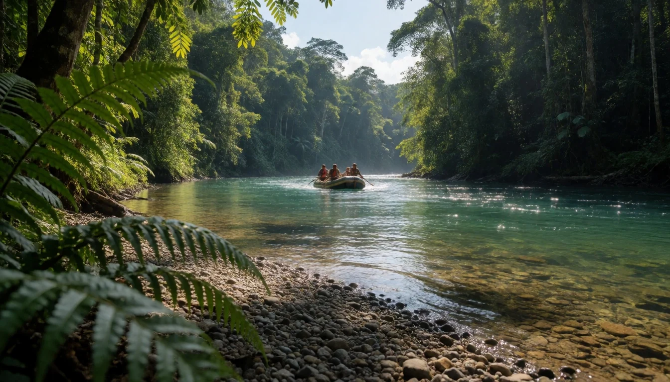
- La Ruta Moskitia Ecotourism Alliance — Moskitia communities inside the reserve
Río Plátano Biosphere Reserve connects visitors with a network of indigenous communities through ecotourism products and services. It’s a practical way to plan days that include river travel and jungle time with local hosts.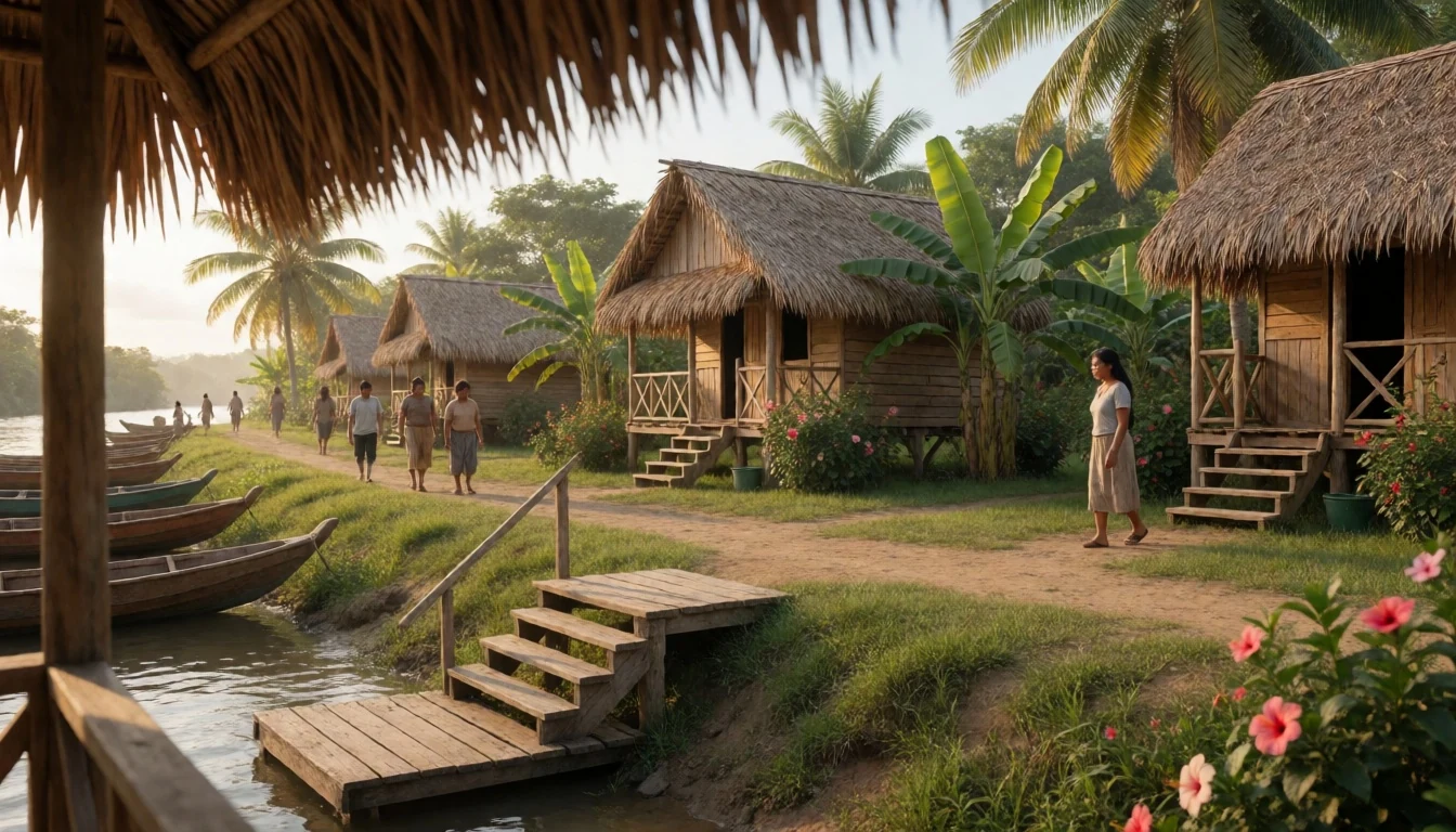
- Pico Dama (from Las Marias) — Las Marias and the Pico Dama approach
Río Plátano Biosphere Reserve can turn into a proper jungle hike. Pico Dama is a difficult outing starting from Las Marias, with a river “pipante” leg before reaching Quebrada Suawala and the trail up.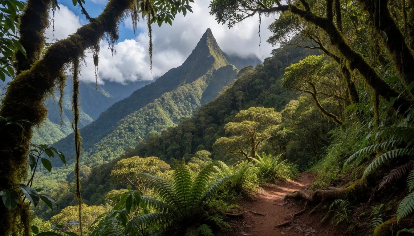
- Walpaulban Sirpi (petroglyphs) — Walpaulban Sirpi area
Río Plátano Biosphere Reserve includes rock art you can visit on a guided outing. Walpaulban Sirpi combines a river trip in a pipante with a short jungle walk to a site featuring a doubleheaded crocodile petroglyph.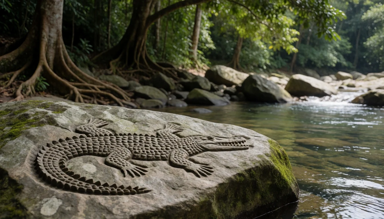
- Cerro de Zapote (easy hike) — Cerro de Zapote trail area
Río Plátano Biosphere Reserve also offers shorter options. Cerro de Zapote is an easy, one-day jungle hike with a guide, useful when time is limited but a forest viewpoint is still the goal.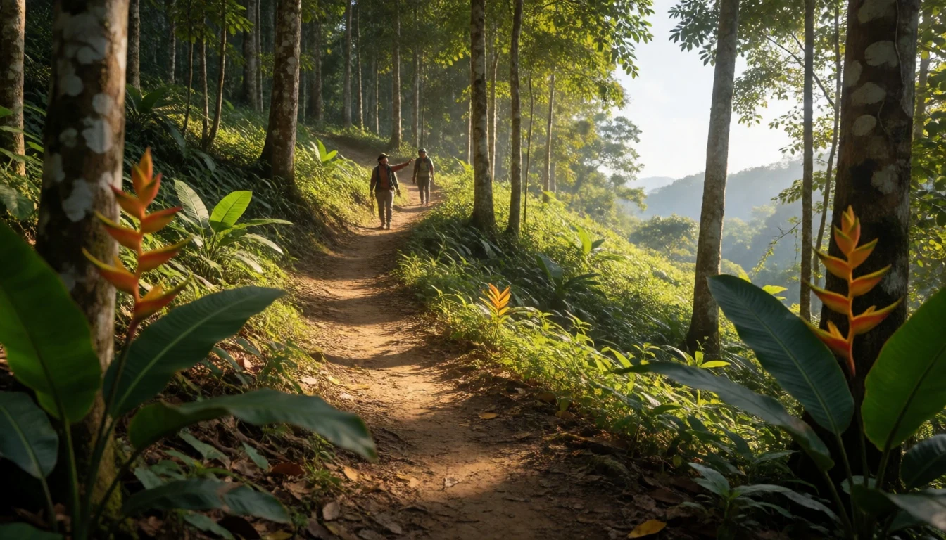
Culture
Río Plátano Biosphere Reserve is lived-in rainforest. The reserve includes indigenous communities, and day-to-day tourism is often shaped around local knowledge of river timing, trails, and how to move safely through forest conditions. Several villages and community groups host visitors, sometimes offering ecotourism services that help share responsibility for conservation and livelihoods.
Food culture here leans practical: staples like yucca, rice, beans and platones show up often, because they travel well and fit local agriculture. Alcohol exists in most communities, but drinking can become a social problem, and visitors who mirror bad behaviour can make things worse for everyone.
If archaeology and legends are discussed, the tone usually stays grounded. Rumours about la Ciudad Blanca exist, but credible evidence is lacking, and most professionals remain cautious. That mindset can be a useful reminder that the reserve is not a theme park—stories are part of how people interpret place, while protection and community life come first.
Visitor etiquette: keep alcohol use respectful and be mindful of local community wellbeing, especially in village settings.
What to wear
Río Plátano Biosphere Reserve doesn’t demand fancy clothes; it demands clothes that handle humidity, mud and insects. Traditional dress in the wider Moskitia region varies by community, but the common visitor takeaway is modest, practical coverage: long skirts or wraps, or longer shirts, and fabrics that breathe in the tropics.
What people wear day to day in and around the reserve is typically lightweight everyday clothing, often paired with sandals or sturdy footwear depending on trail conditions. On the river or during paddling-based travel, clothing gets damp, so quick-dry layers help.
For visitors, pack for warm, wet forest conditions and keep things sensible for cultural spaces. Choose breathable long trousers or leggings (rather than only shorts) for trail protection, a rain shell or poncho, and a hat. Closed-toe shoes or trail sandals matter for uneven ground and river crossings, and a change of socks is genuinely worth it after muddy walks. For village interactions, avoid very revealing outfits—cover shoulders and knees where appropriate and keep loud or party-style dressing to city nightlife rather than community days.
What to eat
- Fresh seafood dinners — Great Pine Savannah, around community lodges such as Yamari Savannah
Río Plátano Biosphere Reserve’s Great Pine Savannah areas are where many travellers end up with fresh seafood dinners. Often the simplest meals are the best: grilled or stewed fish served with rice and local sides.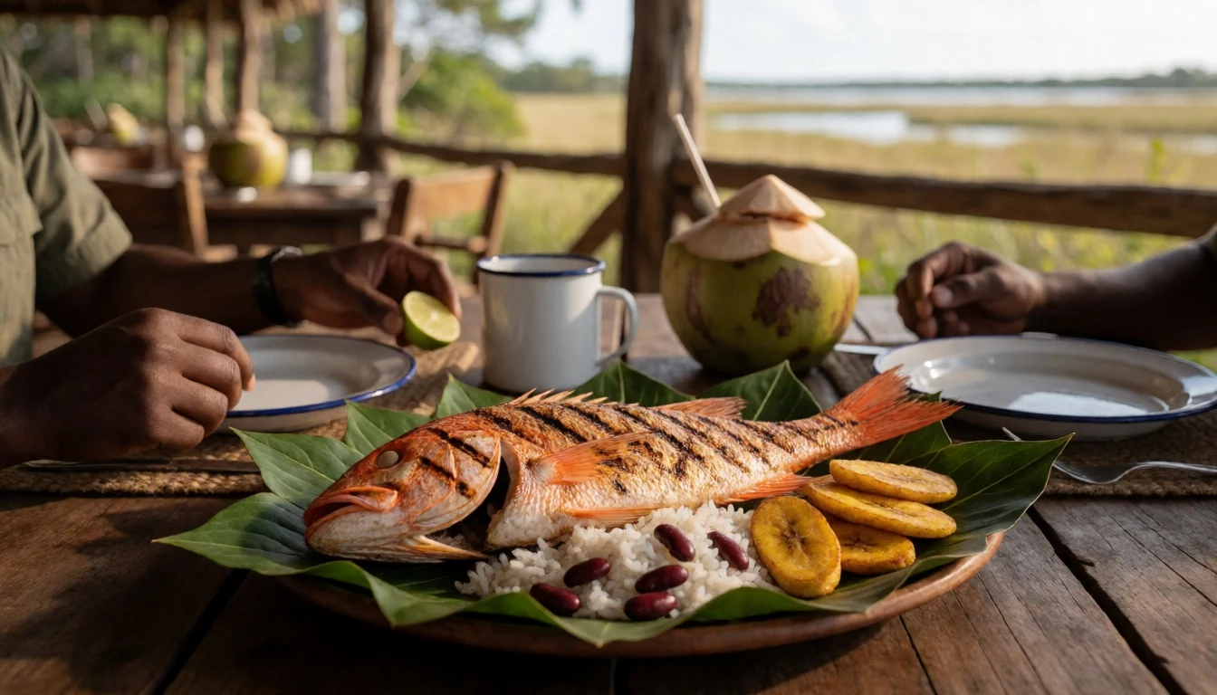
- ‘Casaba’ bread — Batalla community inside the reserve
In the Batalla community, you may see traditional casaba bread being made as part of everyday food practice. It’s one of those local basics that tastes different from what most travellers expect before they arrive.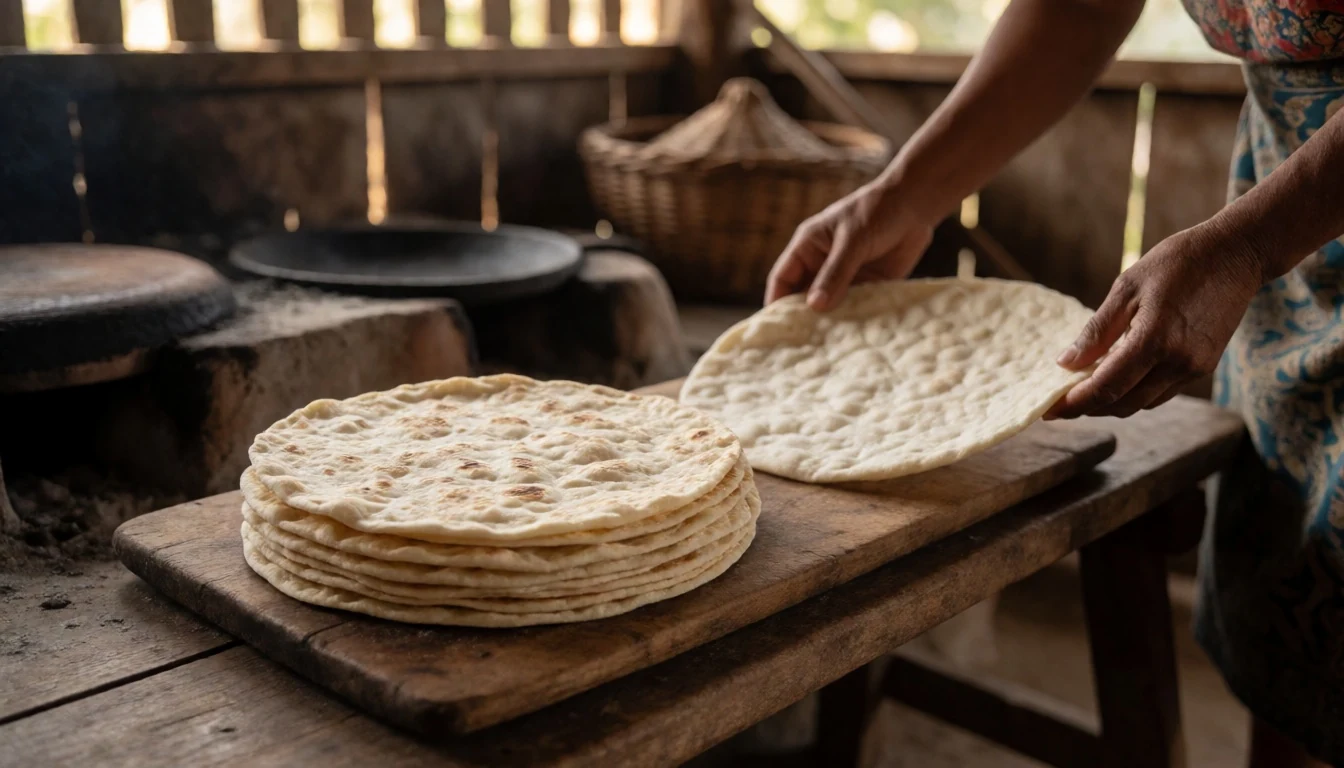
- Yucca with rice and beans — Community kitchens across the reserve
Río Plátano Biosphere Reserve food is often built from staples: yucca, rice and beans, with small variations depending on what’s grown and what the community has available. Expect simple, filling plates rather than menu variety. - Plantains (platones) in everyday meals — Across communities along the river and inland areas
Plantains show up often across communities in Río Plátano Biosphere Reserve, usually as a side rather than a single “speciality”. Look out for them alongside rice and beans as part of a straightforward, high-energy meal. - Spicy sauce from the city (for boosting meals) — Any community meal where spice levels are lower
Seasoning habits can differ, so some travellers bring a spicy sauce from their start point to add heat to otherwise mild staples. It’s an easy way to make simple dishes more familiar without changing the meal entirely.
Plan it
Best time. March–April and October–November are easier months for visiting because they fall outside the wetest period implied by the long annual precipitation range; June sits in the rainy season window and August tends to bring hot and humid conditions.
How long. 3–4
Getting there. Honduras’ main access points are La Ceiba or Trujillo. By boat, services depart infrequently from these coastal ports (often via cargo barges with stops). By land, get to La Ceiba first, then take an early chicken bus to Tocoa, followed by pickups around 9AM headed towards the route into the reserve; ask at the docks for the correct departures.
Budget. mid
Tips
- Build your itinerary around river travel days; if boats depart infrequently, plan buffers rather than fixed-on-the-hour schedules.
- For hikes, start early so you spend less time in the hottest, wettest part of the day.
- Ask your guide/operators how trail conditions change after rain and pack a spare layer for wet mornings.
- Carry cash for small purchases in communities and markets, and keep it separate from your main wallet.
- Bring insect repellent and a dry bag for phone and camera protection during pipante travel.
Etiquette
- Use guides and community arrangements respectfully—don’t assume access rules are the same as in cities.
- When visiting villages, keep drinking sensible and avoid behaviour that could cause problems for hosts.
- Follow local instructions for where to walk and how to handle river crossings; conditions can shift quickly.
Nearby
Sources
- Wikidata Q752181 (CC0)
- Wikipedia (rev 1381525867) (CC BY-SA 4.0)
- Wikivoyage (rev 5342072) (CC BY-SA 4.0)
- Photo photos/01-rio-platano.jpg (CC BY 3.0)
- Photo photos/02-cerro-chachahuate.jpg (CC BY-SA 4.0)
- Photo photos/03-bradypus.jpg (Public domain)
- Photo photos/04-selva-tropical-en-la-biosfera-de-el-rio-pl-tano-honduras.jpg (CC BY-SA 4.0)
- Photo photos/05-on-a-pintada.jpg (CC BY 2.5)
- Photo photos/06-cerro-chachahuate-cropped.jpg (CC BY-SA 4.0)
- Photo photos/07-guacamayos-rojas.jpg (CC BY-SA 4.0)
- Photo photos/08-patuca-medio-e-ind-gena-miskito-cropped.jpg (CC BY-SA 4.0)


