Retezat National Park
Retezat National Park, Romania
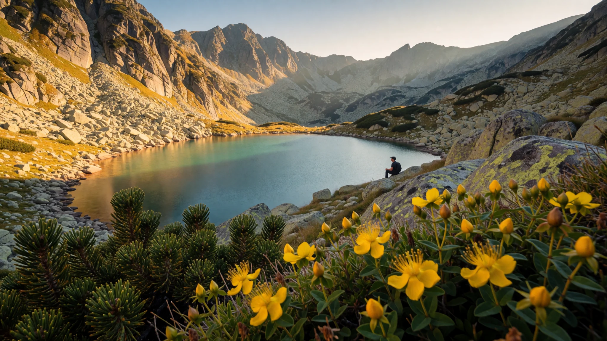
Retezat feels like old Europe’s backcountry—high glacial lakes, serious hiking, and wildlife-heavy forests without the crowds of bigger Alps routes.
The place
Retezat National Park (Parcul Național Retezat) sits in Romania’s Retezat Mountains, in Hunedoara County. It’s one of those places where the scenery changes by the hour: forest paths that gradually thin out, rockier slopes that open into alpine basins, and then the classic glacial-lake look—cold water, steep banks, and the sense that the mountains have been carving this landscape for centuries.
The park is managed as a protected area and biosphere reserve, founded in 1935. It’s also high altitude: the park’s elevation is about 2509 m, and the route network is built for hikers who accept that weather can swing quickly. The big draw is biodiversity—more than just “pretty plants”. In the Retezat, you’ll find a dense mix of mountain flora and old-growth forest pockets that make the trek feel quietly wild, even when you’re not alone on a popular trail.
Most visitors come for the glaciers-and-lakes days: peaks you can reach on foot and lake circuits that reward early starts with clearer air and calmer shores. In summer, expect more people on the better-known routes and at the main refuges; in shoulder seasons (spring and autumn), the trails can feel more “local” and less like a shared itinerary.
The practical reality: this is a mountain park, so bring layers, plan for mud or lingering snow depending on the season, and don’t assume facilities will be close by every time you need a break or a meal.
Its story
Retezat’s story starts with scientific curiosity and a political decision that set land aside long before “conservation” became a mainstream word. In 1935, the Tătărescu government created the country’s first national park by setting aside part of the Retezat Mountains. That early push matters here, because it shaped what hikers experience today: forested valleys and high, protected terrain rather than intensive development.
Through the decades, Retezat kept drawing attention for its ecology. By 1979 it entered the Man and the Biosphere Program, and later it gained further international recognition connected to protected-area learning and sustainable development. All of that international framing might sound distant when you’re tying boot laces, but it connects to something you can actually feel on the ground: a landscape that still carries patches of old-growth forest and the layered habitat that supports many different species.
The more complicated chapter is the one hikers also recognise when the trailheads feel busy or when you see signs of use. From the 1990s onward, sheep grazing and logging increased in the region, and restoration efforts became part of how the park is managed. A separate legal saga around land restitution also played out, culminating in a court decision that returned the park to state property after years of dispute.
So Retezat is both a living mountain system and an evolving human story. Walk long enough on the slopes and you’ll see the point: protecting nature is never “done”—it’s something people keep arguing over, funding, restoring, and trying to do better.
What to see
- Bucura Lake
Bucura is the park’s best-known glacial lake. Approach routes typically pass through mountain scenery that shifts from forest shade to open alpine views, and standing near the water gives that clear, high-altitude stillness people come back for.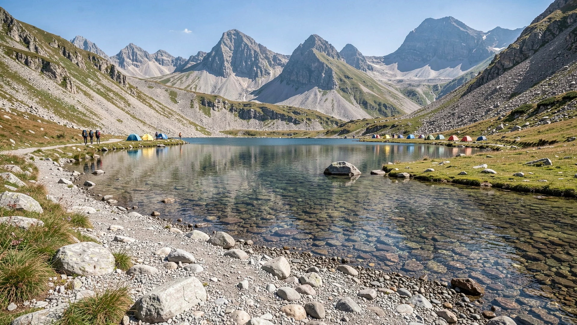
- Zănoaga Mare Lake
Zănoaga Mare offers a smaller, more “basin-like” feel than the busiest lake options. It’s a good target when the goal is quiet hiking and a steady climb-and-descend day rather than constant lake hopping.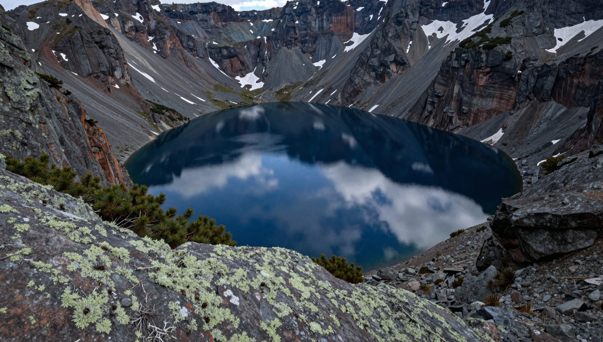
- Tăul Negru
Tăul Negru is the sort of name that tells you what the place looks like: darker water set against high ground. Expect a classic mountain-lake approach with changing light and a strong sense of being in a glacial landscape.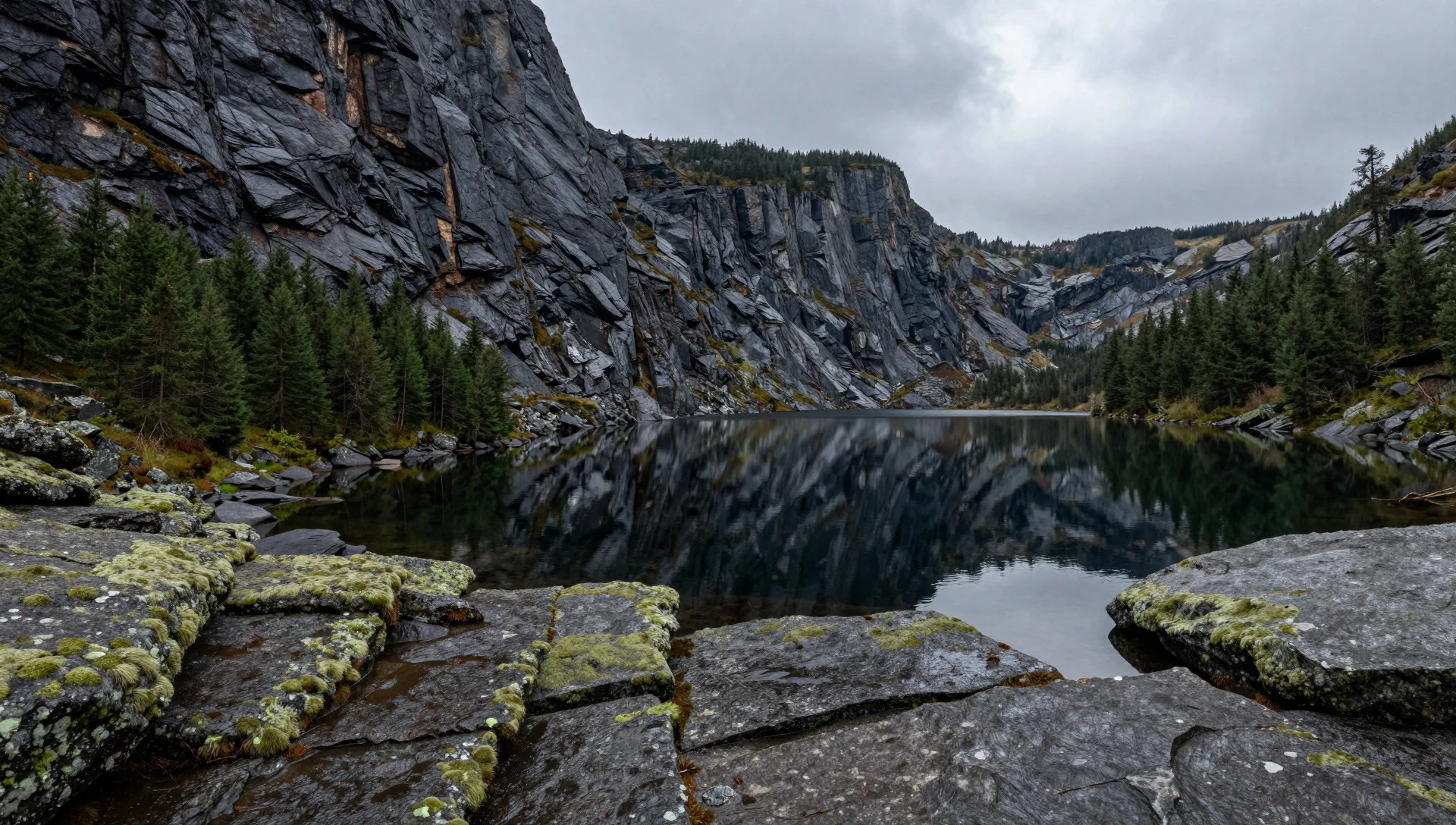
- Lacul Ana and Lake Lia (pair option)
Both Lacul Ana and Lake Lia sit in the same “lakes zone” around the Bucura area. If time is tight, treat them as two stops in one day, with the usual mountain conditions—wind, sudden cloud, and uneven ground—keeping the pace honest.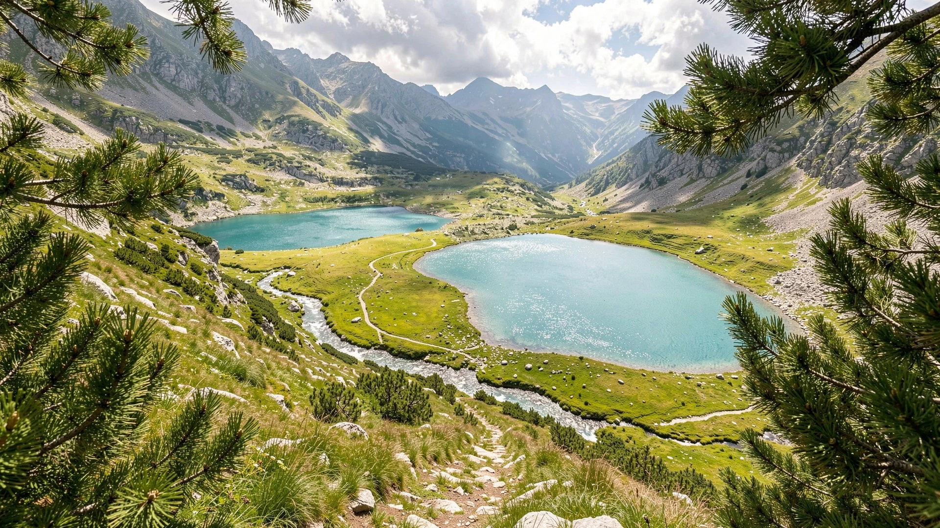
- Peleaga Peak
Peleaga is the highest peak in the Retezat Mountains within the park, making it the big day objective for people who want a summit view. The route is more demanding than lake walks, so start early and keep an eye on conditions.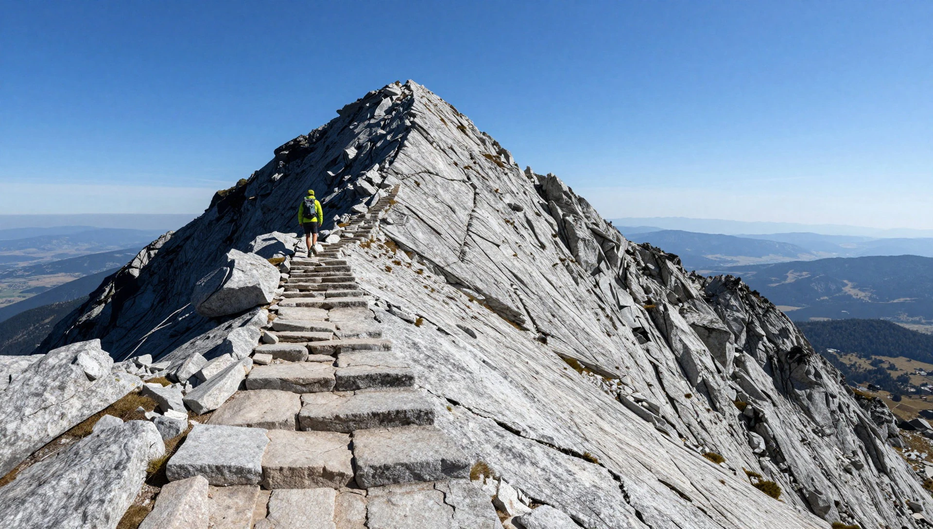
Culture
Retezat isn’t a “museum in the mountains”—it’s a working landscape where protection, land use, and local livelihoods overlap. The park’s history includes early conservation efforts, later international biosphere and protected-area programmes, and modern restoration work after periods of heavier grazing and logging.
On the ground, that culture shows up in how you share space with the outdoors rather than with attractions. Trails can get busier in the main summer window because refuges and huts are where people concentrate for meals, rest, and planning the next leg. That means noise travels and the queue-like rhythm starts—especially at the most straightforward paths to the best-known lakes.
Respect for the park is also practical. Wildflowers and mountain vegetation are easy to damage if they’re stepped on or if paths get widened. And because parts of the experience revolve around huts, refuges, and shared sleeping areas, behaviour matters as much as knowledge: keep conversations down in the evening and don’t treat facilities like a hotel.
Visitor etiquette: stay on marked trails, keep voices low near refuges, and pack out everything you bring so the high-country doesn’t end up as litter.
What to wear
In Retezat, “style” is really about keeping warm, dry, and safe. Traditional dress is part of Romanian culture, but in the park and its mountain huts, you’ll mostly see modern hiking gear.
In everyday mountain life, locals often wear practical textiles—knit caps, sturdy jackets, and weather-ready layers—because mountain weather can turn quickly. If you visit villages around the park, you may see more traditional clothing during local events: women’s woven skirts and blouses and men in shirts and vests, typically made from heavier, breathable fabrics suitable for cooler seasons.
What visitors should wear depends on the season. In spring and autumn (when many people head out), layers are key: a warm mid-layer under a windproof outer, gloves for early starts, and a hat for sun or cold. Expect muddy stretches near water and rockier footing on peak routes, so sturdy footwear with grip matters more than fashion. Sunglasses help with glare off light-coloured rock and water.
For religious sites in the wider region (if you detour), choose modest clothing—covered shoulders when stopping at a church—and carry a light layer for indoor/outdoor transitions. In the huts and refuges, practical comfort beats anything delicate: breathable socks, a dry-change option, and a small daypack for essentials.
What to eat
- Hut meals (mountain refuges) — Refuges and bigger huts on main hiking legs
In the Retezat area, many hikers rely on food at mountain huts along the routes. These are the easiest places to get a proper hot meal when shops in villages feel far away.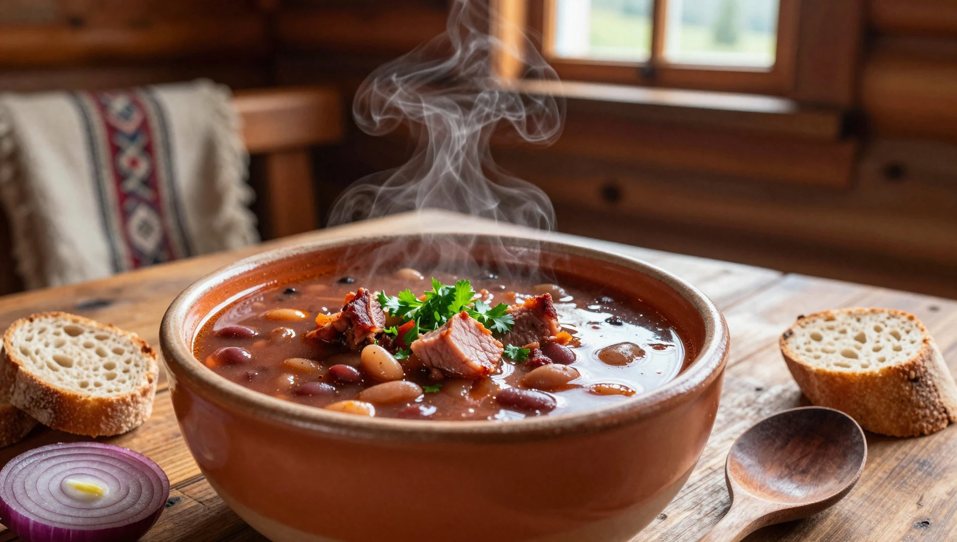
- Bring-and-eat trail food — On the trail and around lake viewpoints
Because finding food to take with you can be difficult in small villages near the park, hikers often plan ahead and carry what they need. Think simple, no-fuss items that you can eat while moving or on short breaks.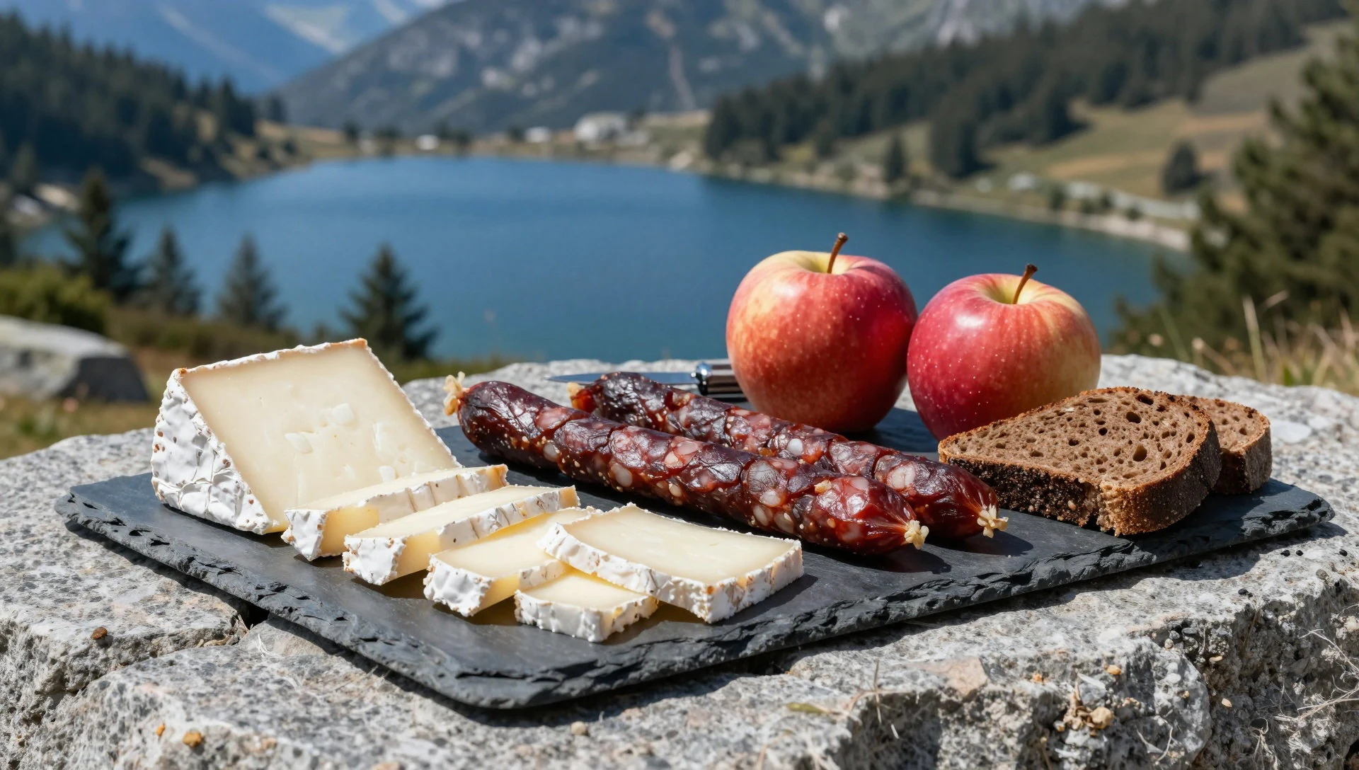
- Mountain tea and simple drinks — Huts and refuges near popular routes
After a long climb, a warm drink helps morale. On hut stops, expect simple options—often tea or other basic hot beverages—paired with whatever food is available that day. - Village roadside meals (when detouring) — Nearby towns used as access points to the park
If travel plans include time in nearby towns, meals are easier to find than in the high-country. Look for simple Romanian-style dishes at local eateries before heading back to the trail logistics.
Plan it
Best time. March–April and October–November for more comfortable hiking temperatures; June brings rainy conditions, and August can feel hot and humid on exposed stretches.
How long. 3–4
Getting there. Use Cârnic as a popular access point, reached after Sălașu de Sus. From the train station Ohaba de sub Piatră, there’s a mini-van route to the entrance at Cârnic; there’s no clear public timetable, so confirm local transport options in advance. Deva and Hunedoara are good places to ask if you need help.
Budget. mid
Tips
- Start early if aiming for the main lakes—morning light and calmer trails make a noticeable difference.
- Carry water and keep layers handy; weather changes fast in the high terrain.
- In summer, book lodging at refuges/huts early because the better-known places can get crowded.
- For the Cârnic approach, check local bus or van options before you travel rather than relying on an assumed schedule.
Etiquette
- Stay on marked paths around lakes so vegetation doesn’t get trampled.
- Keep noise down in refuges and shared dorm-style spaces.
- Follow any on-site rules at huts—these aren’t hotels, and staff are often managing limited resources.
Nearby
Sources
- Wikidata Q204931 (CC0)
- Wikipedia (rev 1365963589) — Retezat National Park (CC BY-SA 4.0)
- Wikivoyage (rev 3691587) — Retezat National Park (CC BY-SA 4.0)
- Photo photos/01-retezat-near-camp-bucura.jpg (Public domain)
- Photo photos/02-retezat-national.jpg (CC BY-SA 4.0)
- Photo photos/03-retezat-mountain-bucura-lake-02.jpg (CC BY 3.0)
- Photo photos/04-biserica-densu-la-poale-de-retezat.jpg (CC BY-SA 4.0)
- Photo photos/05-dwarf-pine-cone.jpg (CC BY-SA 4.0)
- Photo photos/06-hypericum-close-up.jpg (CC BY-SA 4.0)
- Photo photos/07-lake-pietrele.jpg (CC BY-SA 4.0)
- Photo photos/08-muntii-retezat-01.jpg (CC BY-SA 4.0)


