Rainforests of the Atsinanana
Rainforests of the Atsinanana, Madagascar
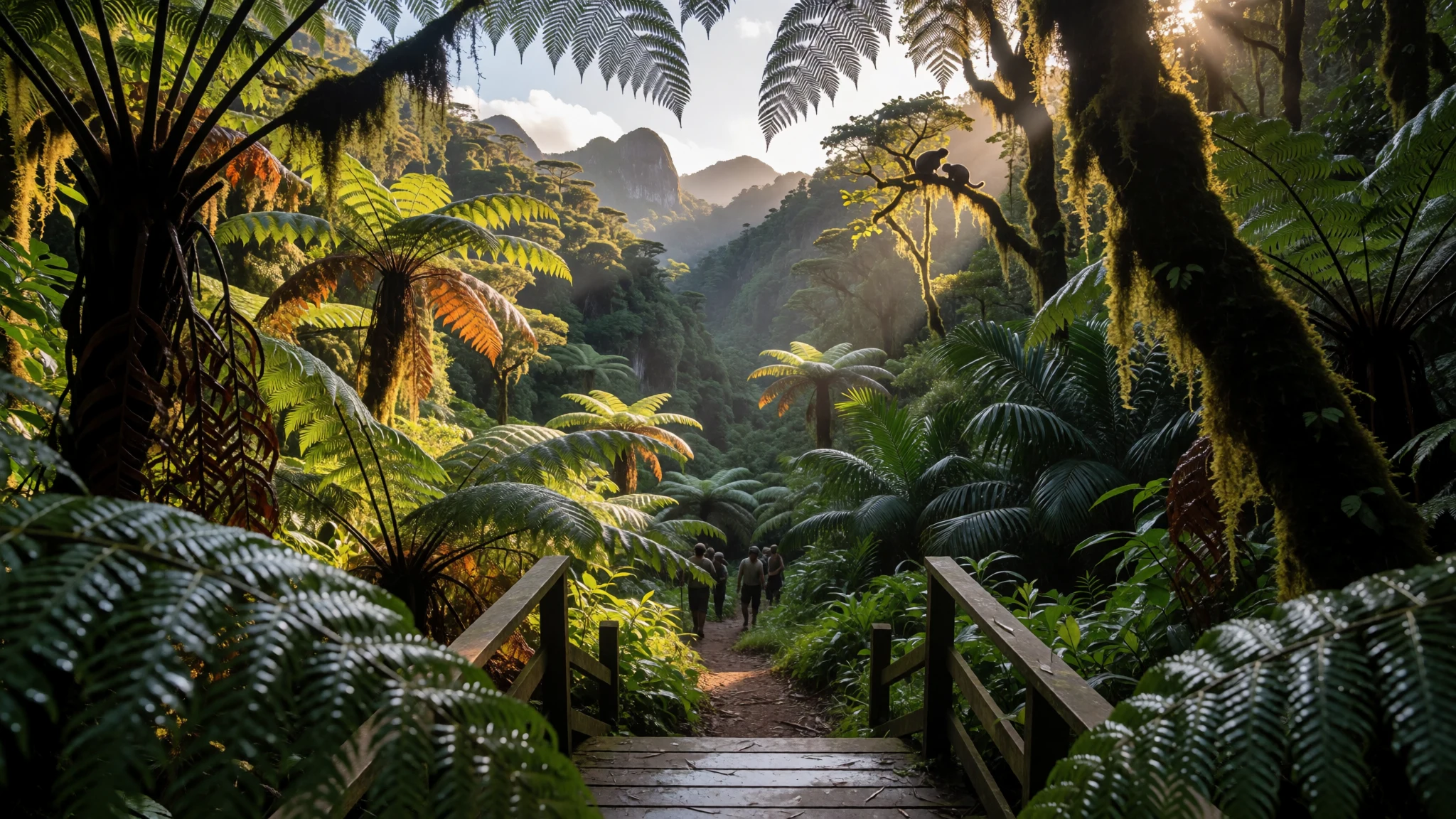
Rainforests of the Atsinanana stitches together Madagascar’s biggest pockets of wet forest, where lemurs and rare plants cling to steep, misty habitats.
The place
Rainforests of the Atsinanana is a World Heritage Site in eastern Madagascar, made up of 13 areas spread across six national parks. It’s not one single “rainforest”; it’s a network of 13 protected areas within six national parks, helping keep the island’s ecological processes running. The idea is simple but important: Madagascar’s wildlife and plants developed in isolation after the island broke away from other landmasses, so the forests here are deeply linked to that long, separate history.
The forests are described as relict rainforests, meaning they preserve older ecological patterns that still support the ongoing life of the ecosystem. In practical terms, that shows up as lots of endemism—species found only in Madagascar—and a strong focus on biodiversity and threatened wildlife. Lemurs and other primates are repeatedly highlighted in descriptions of why these forests matter, alongside the web of habitats that keep feeding, breeding and dispersal happening across the year.
As a visitor, the most memorable thing is how quickly the landscape changes with elevation and distance from the coast: thick, humid forest can give way to cooler, cloudier conditions higher up; and the vegetation responds to where water collects and how the wind meets the slopes. It can feel wet in almost every sense—air, ground, and clothing—so planning around weather windows really helps. The best approach is to think “parks and trails”, not “one destination”, and to match the route to the kind of forest experience wanted: from coast-edge greenery to steep interior paths.
Its story
Visiting Rainforests of the Atsinanana feels like stepping into a set of habitats that have been working hard for a very long time. Madagascar’s forests don’t read like generic jungle: the species mix is shaped by the island’s isolation, so even familiar rainforest behaviours—calling through the canopy, fruiting bursts, insects humming at dusk—play out with a distinct local cast. Descriptions of the site focus on ecological and biological processes, not just scenery, and that difference lands when trails open into dense green walls and the quiet between birdsong feels purposeful.
The story across the six parks is also a story of edges. Coastal places and interior slopes each “filter” the forest differently, with rainfall, wind and elevation creating pockets where threatened species can survive. In some areas, the forest is entered via ranger-led walks where the guide’s knowledge of microhabitats matters as much as stamina. In others, camp settings and longer treks make it easier to notice the rhythms of the ecosystem—how activity peaks around certain times, how humidity changes the ground underfoot, and how the forest canopy turns light into something soft and dappled.
In day-to-day terms, it’s the kind of travel where logistics shape the experience: getting from one area to another takes time; weather can change quickly; and safety depends on local guidance. But when the trail finally settles into steady rain-forest shade, the site’s logic becomes clear—these forests are there to keep Madagascar’s unique biodiversity ticking along, one hillside and valley at a time.
What to see
- Marojejy National Park — Marojejy National Park
Marojejy’s rainforest walking is about dense canopy, humid air and steep, green detail. Expect trails that feel alive with insects and bird calls, with mist moving through branches as the forest thickens near higher ground.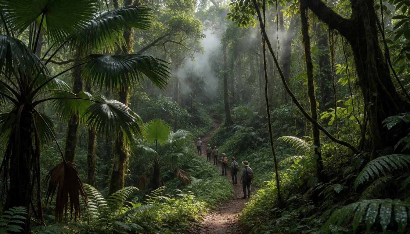
- Masoala National Park — Masoala National Park
Masoala’s appeal is the way rainforest and coast-linked habitats overlap, shaping how the vegetation looks and sounds. Walk under tall trees, then feel how the forest edge changes with moisture and exposure to sea air.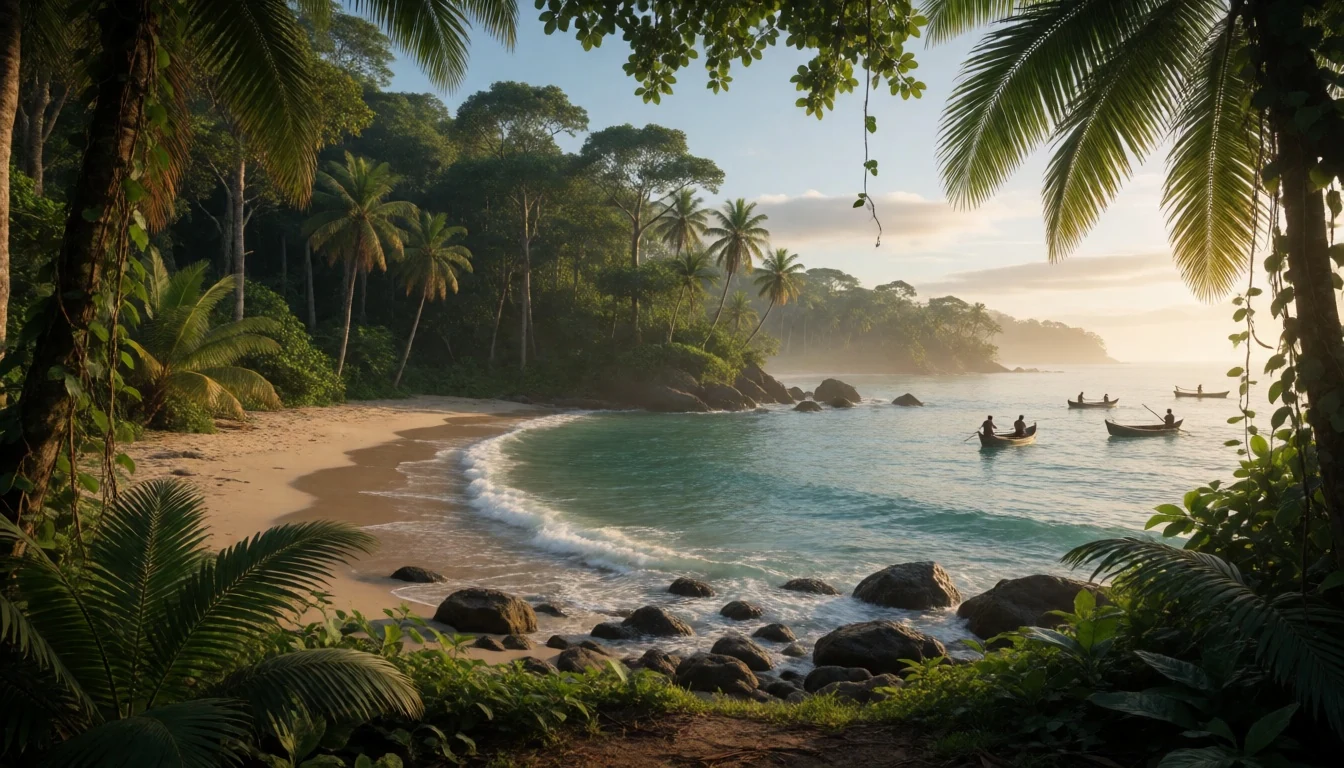
- Zahamena National Park — Zahamena National Park
Zahamena is often approached with a wildlife focus, where forest structure and habitat variety support rare species. The best time to notice movement is when the light is softer and the canopy quiets down enough to listen.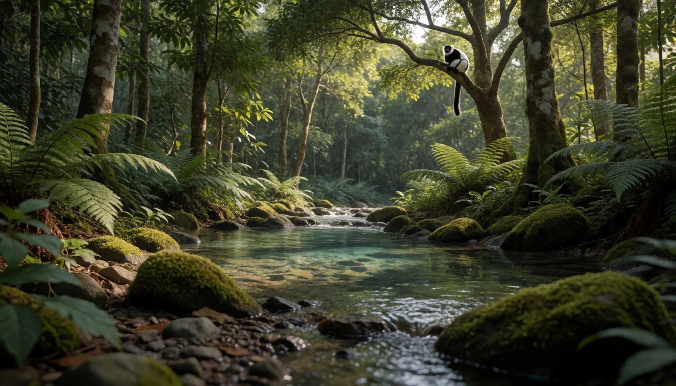
- Ranomafana National Park — Ranomafana National Park
Ranomafana’s trails push into steep forest country, with vegetation closing in as the route climbs. Humidity makes paths slippery, and the pay-off is a deep rainforest feel where the canopy filters almost everything.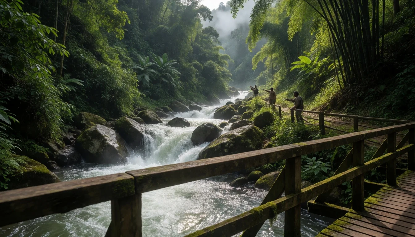
- Andringitra & Andohahela edges — Andringitra and Andohahela national parks
At the margins of Andringitra and Andohahela, forest transitions shape what can be seen on a walk—tree height, undergrowth density and ground cover shift with conditions. The landscape reads as a gradient, not a wall of green.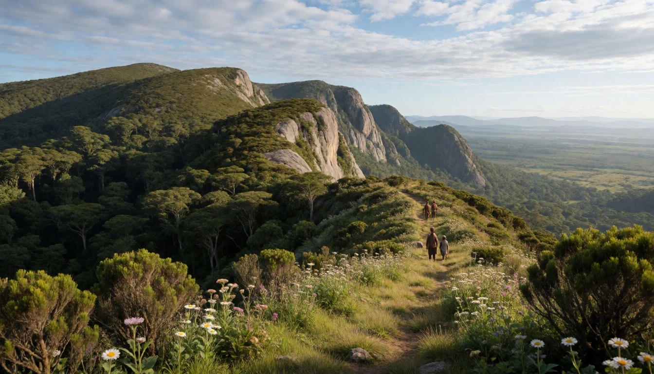
Culture
Rainforests of the Atsinanana is a conservation landscape as much as a travel one, and local teams are central to how visitors experience it safely. In these parks, walking is typically ranger-led or guide-supported, because finding and observing wildlife depends on knowing where habitat changes happen and how the forest behaves during wet weather. That also means travel pace matters: quiet movement and time for listening are part of the day, not an optional add-on.
It helps to think of the forest as shared space with ongoing research and protection work. Some areas may be stricter about where to go, how close to get to animals, or how long groups should stay in one patch. Weather can drive this too—after heavy rain, tracks can be muddy and conditions can change fast, so decisions about routes and timing should be left to the team on the ground.
Crowds are usually not the main problem here; heat and humidity are. Wet-season conditions can make clothes uncomfortable and footing uncertain, while calmer months make trails more manageable. Bring patience for slow turns in the itinerary: delays for access, rain checks, or waiting for the right moment to spot movement are all part of the reality of forest travel in eastern Madagascar.
Visitor etiquette: keep voices low on walks, follow ranger instructions about staying on paths, and avoid chasing wildlife for photos.
What to wear
Rainforest conditions across the Atsinanana network are famously wet-feeling, so clothing needs to cope with humidity and muddy ground. Traditional dress in Madagascar varies by region, but visitors will mostly encounter everyday outfits: long skirts or trousers in breathable fabrics for women, and lightweight shirts with trousers for men, often chosen for comfort in warm weather.
On the ground, what visitors should wear is more about function than style. Choose quick-drying trousers (or lightweight trekking trousers) and a long-sleeved top to reduce irritation from undergrowth. Footwear needs tread, because forest paths can get slick after rain. A rain jacket or poncho is useful even outside peak wet spells, and a hat helps with both drizzle and glare filtered through the canopy.
In and around park areas, modesty helps: shoulders and legs covered is a good baseline, especially where local communities or small facilities are part of the route. For any viewpoint stops or camp areas, pack something warmer as well, since mist and cooler air can arrive in higher or cloudier patches of forest. Keep a dry layer in the bag for the end of the day when everyone’s clothes have absorbed humidity.
What to eat
- Rice with lentils/bean stews — Local eateries and town markets near park access
Look for rice served with simple lentil or bean stews at local eateries and small town markets. It’s filling after a long walk and easy to find across Madagascar, especially in places near park access routes.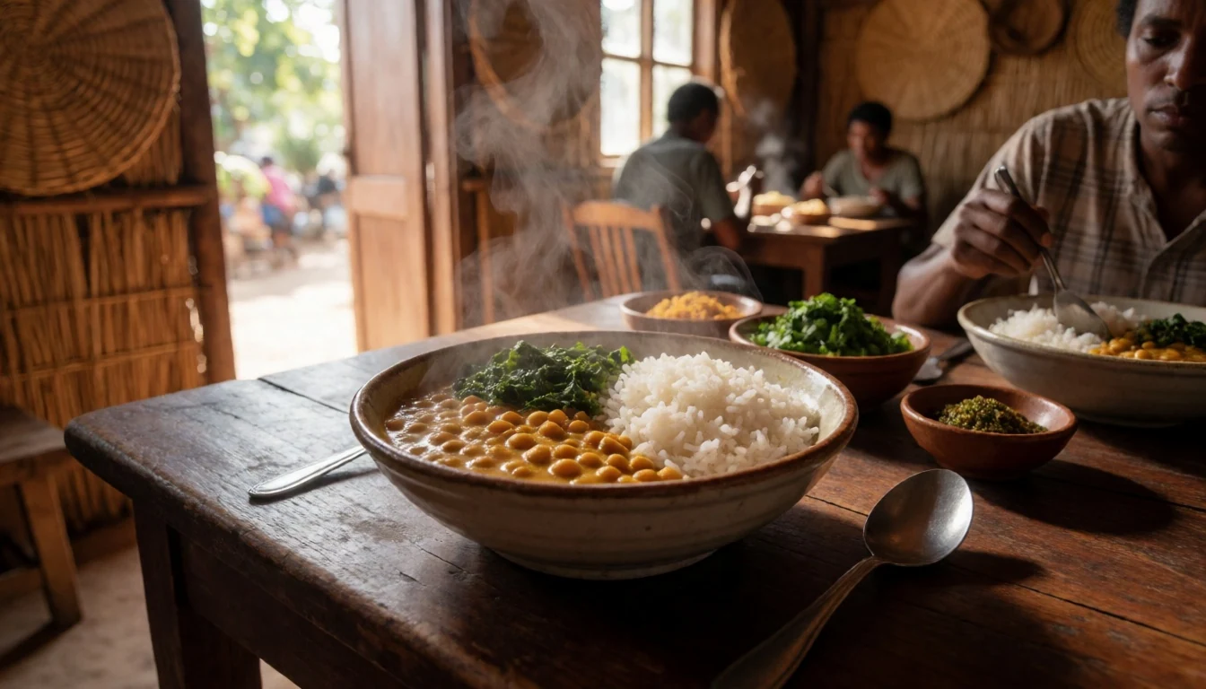
- Grilled fish or chicken with sides — Evening grills and local eateries in towns
In coastal and inland towns, grilled fish or chicken often comes with basic sides like rice and vegetables. Choose places where food is cooked fresh, which is common around evening meal times after travel.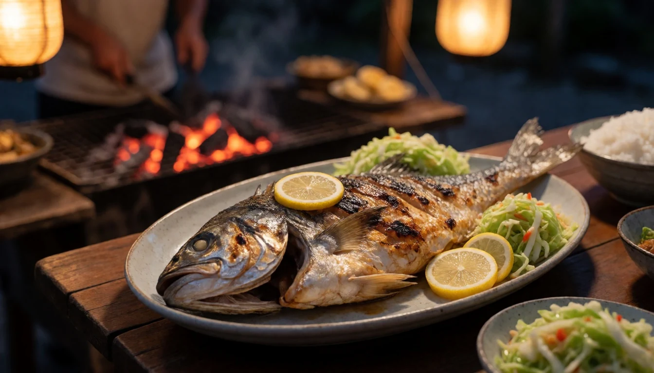
- Vegetable stir-fries — Roadside stalls and casual restaurants
Vegetable stir-fries made with local greens show up at casual restaurants and roadside stalls. They’re a good lighter option on humid days when heavy meals feel unappealing, and they complement rice-based dishes well. - Fresh fruit snacks — Morning markets and small shops
Fresh fruit is an easy, refreshing break during travel days. Seek it at markets or small shops in the morning before hikes, so it can tide over the time between meals in remote areas. - Spiced tea or coffee — Guesthouses, small cafes and roadside stops
Simple tea and coffee are common in guesthouses and cafes, often alongside biscuits or small snacks. It’s a reliable way to warm up after a misty forest morning or when plans shift due to rain.
Plan it
Best time. May–September is generally the more comfortable period for walking, with lower rain totals, while January–March is wetter and can be more challenging, especially for forest trekking.
How long. 3–4
Getting there. Fly into Madagascar and route onward to eastern access points for the six parks; if using rail, Madarail’s single 9-hour service runs between Moramanga and Ambila Lemaitso, but maintenance issues mean breakdowns and possible closures can happen.
Budget. mid
Tips
- Use a local guide/ranger for every forest day; wildlife viewing depends on their route choices.
- Start hikes early in the day to make the humid hours easier and to keep everyone fresh for longer trails.
- Build in weather flexibility: rain can affect track conditions and access decisions.
- Carry small cash for village stops, snacks and park-adjacent facilities where cards may not be used.
- Pack a dry layer and a rain jacket; getting damp is part of the experience in wet forest country.
Etiquette
- Stay on paths and follow ranger instructions; shortcuts damage forest ground and can be unsafe.
- Keep noise low in the canopy—listen as much as look.
- Ask before photographing people in any community area you pass through.
Nearby
Sources
- Wikidata Q564321 (CC0)
- Wikipedia (rev 1365739334) (CC BY-SA 4.0)
- Wikivoyage (rev 4765227) (CC BY-SA 4.0)
- Photo photos/01-camp-marojejia-01.jpg (CC BY 3.0)
