Quiriguá
Quiriguá, Guatemala
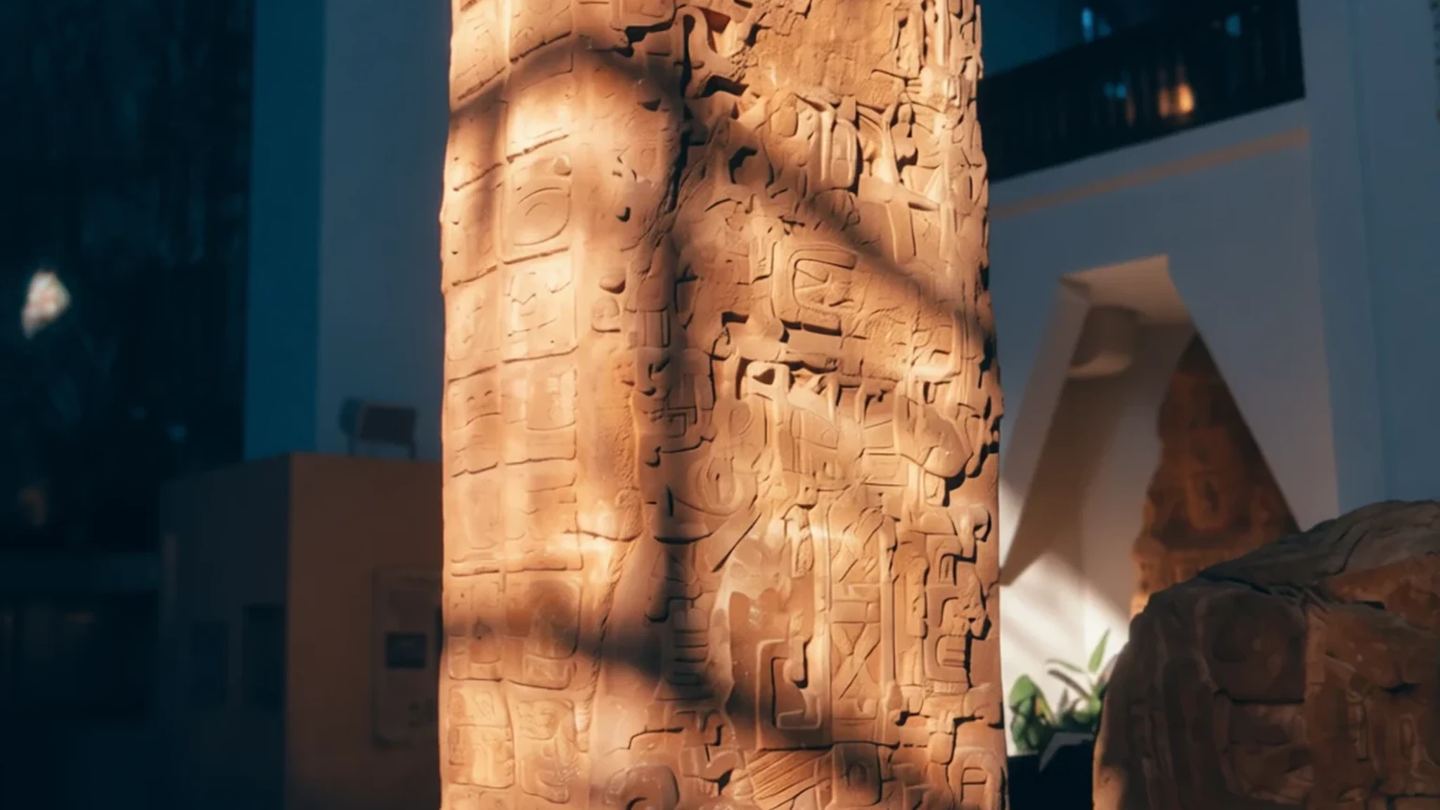
Quiriguá is worth the detour for its carved stone monuments, including the tallest stela the Maya raised.
The place
Quiriguá is an ancient Maya archaeological site in Izabal department, in south-eastern Guatemala. It covers about 3 square kilometres along the lower Motagua River, and the ceremonial centre lies roughly 1 km from the north bank. Compared with the great cities of the Petén, it is a medium-sized place, and the visit feels manageable: a few open plazas, a handful of raised structures and a museum near the entrance. The architecture itself is fairly restrained. What sets the site apart is its sculpture. Carved stelae, upright stone slabs covered in inscriptions and portraits of rulers, stand in the central plaza, alongside zoomorphs, large carved stones shaped as animals and creatures. The carving is detailed, so faces and glyphs still reward close looking. Quiriguá sat where the highland trade route to the Caribbean met the route from Copán to the Petén. Cacao, maize and obsidian all moved along this corridor, and the rulers used monuments to announce their claims. Many visitors treat it as a day trip from Guatemala City, though an overnight stay in Los Amates or Río Dulce allows a quieter visit in the cooler hours, when the light is kind to photographs.
Its story
Quiriguá's recorded history begins in 426, when a ruler at Copán placed the first known king of Quiriguá on the throne only days after taking up his own office. From the start the site was a dependent of its southern neighbour. Its founders are thought to have been elite colonists from Tikal, sent to secure the Motagua River trade and to extend Tikal's reach into the south-eastern edge of the Maya world. For a few centuries the building there was modest, mostly a hilltop group and an earthen platform on the valley floor, so little is known of this stretch. Signs of people living here go back earlier still, to the Late Preclassic, with figurines and a chert blade among the finds. The turning point came in the 8th century. In 738 the local king K'ak' Tiliw Chan Yopaat defeated the powerful ruler of Copán, Uaxaclajuun Ub'aah K'awiil, known as 18-Rabbit. The defeated king was captured and then sacrificed in Quiriguá's Great Plaza. Quiriguá kept its independence afterwards and went on to build intensively, with the plazas, the acropolis and a rich series of monuments. Construction slowed and largely stopped by about 850, although the site was briefly reoccupied in the Early Postclassic.
What to see
- Site Museum — Near the main road, at the entrance
The site museum sits close to the main road, so it makes a sensible starting point. Its displays explain the history of the site and the archaeological work that uncovered it, and a case of smaller relics found on the ground here shows the everyday side of the city. Give it time before walking out to the plazas, because the carvings make more sense once the labels have set the context.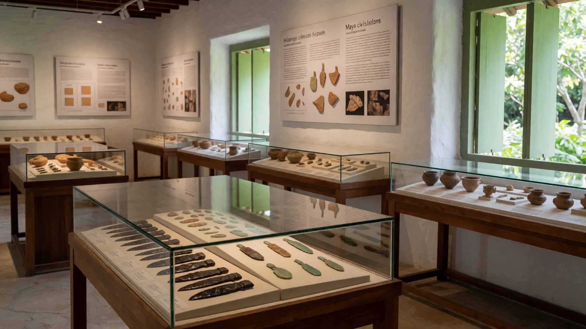
- Gran Plaza — The central open space
Plazas in Maya cities were the open spaces for large gatherings and markets, and the Gran Plaza is the heart of Quiriguá. It measures 150 by 300 metres. Raised platforms close each end, and the northern one carries several of the carved stelae and a zoomorph. Walk its length slowly. The monuments are spread out, so the distances between them are part of the experience.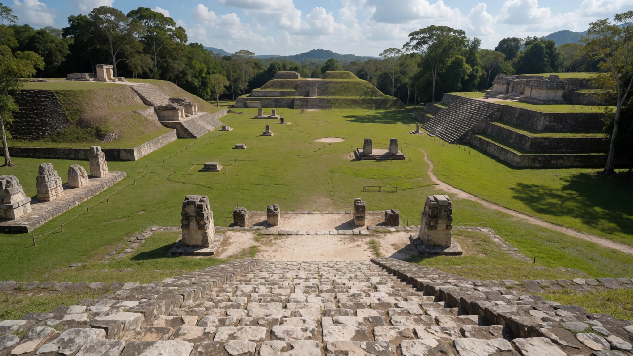
- Stela E — The northern platform of the Gran Plaza
Stela E is the monument most people come to see, and at about 12 metres it is the tallest stela in the Maya world, by the measure of the sources here. Its carved surfaces are dense, so stand back to take in the full height, then move in close to pick out the details on the lower sections. Early morning light from the side brings out the relief best.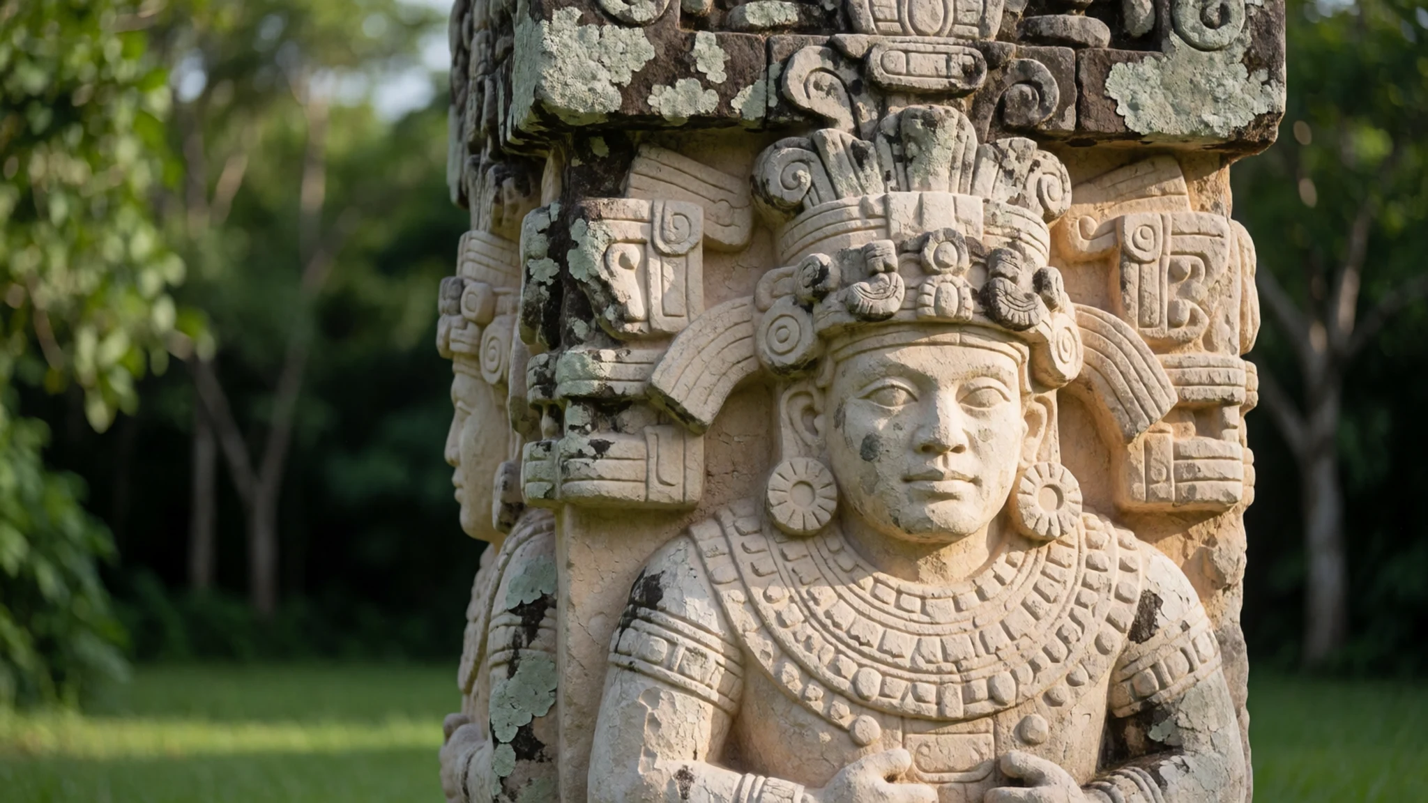
- Stela D — The Gran Plaza
Stela D stands about 19½ feet tall and carries a portrait of Cauac Sky on its north side. He holds a manikin scepter in his left hand. Compare the figure's pose and proportions with the other monuments nearby, and notice how the carved panels are arranged around him. The stone has weathered, so a low sun from the side makes the carving stand out.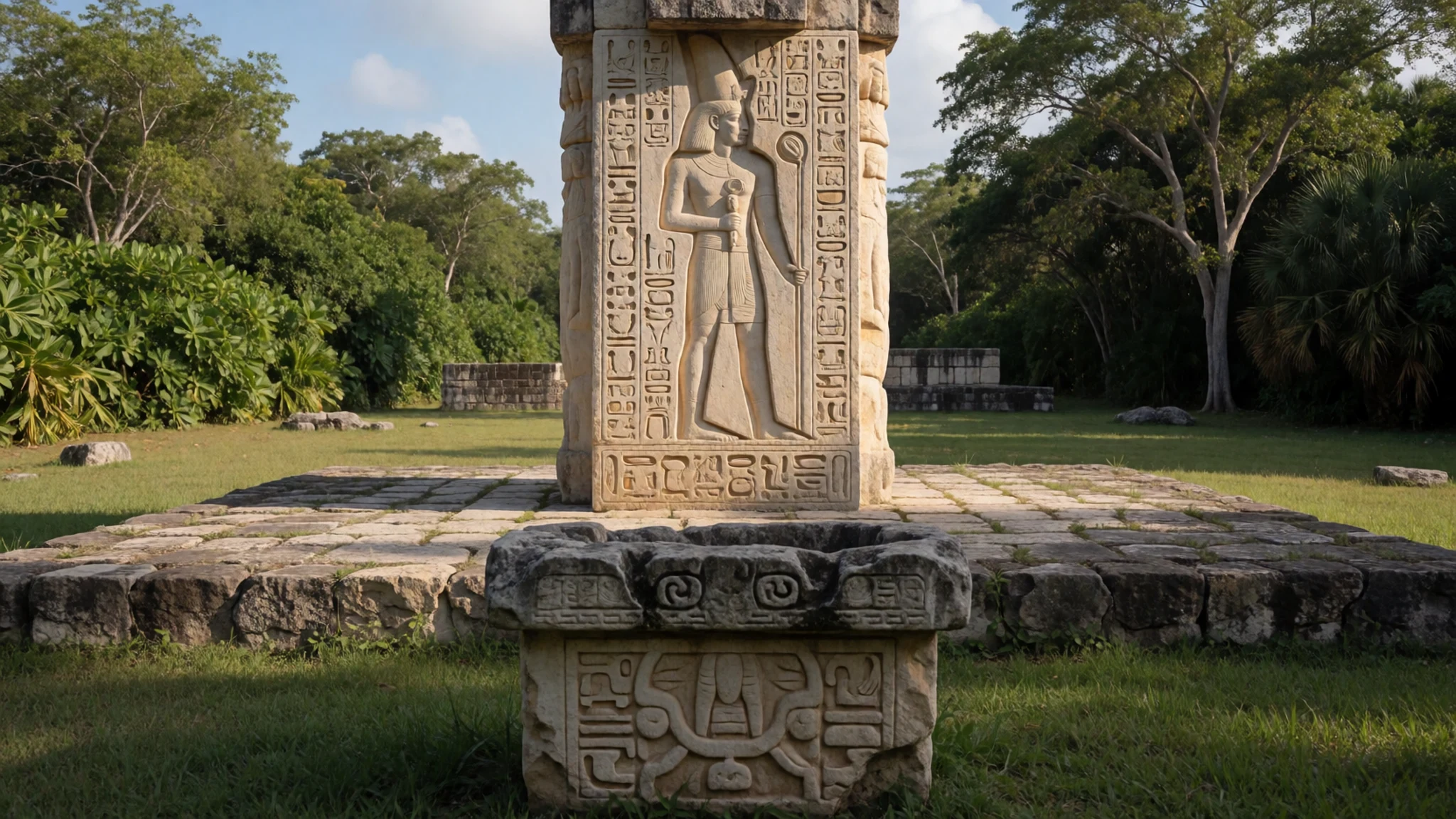
- The Acropolis — The southern end of the site
The acropolis at the southern end of the site was a palace complex, serving as a residence for royalty and as an administrative centre. It was built up in stages between 550 and 810. Several of its structures were royal residences, and archaeologists are still working in this area. Fragments of corbel arches survive, but no arch still stands, so read the layout of the buildings rather than looking for a complete structure.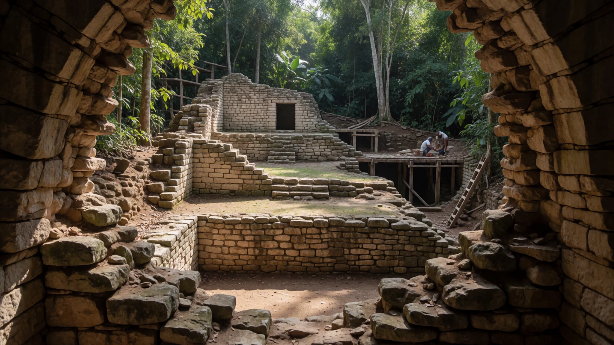
Culture
Quiriguá is an archaeological park set in a landscape of farms, small towns and river communities, and many of the people you meet, from guards to guides to stallholders, come from the wider Izabal area. The Maya heritage here is living heritage: Maya communities across Guatemala still speak their languages and keep their traditions, and the monuments matter to the people who see them as part of their own history. Greetings carry weight in Guatemalan social life, so a friendly buenos días before asking a question is well received. Along the Motagua and the lake shores you will also meet Garifuna and Ladino communities, each with their own customs. Photographing the monuments is generally fine, but ask before photographing people, especially in villages and markets. Do not climb on, lean against or touch the stelae, and ask before photographing anyone who appears in your frame.
What to wear
In Quiriguá and the wider Izabal lowlands, dress has been shaped by a mix of Maya, Garifuna and Ladino traditions rather than by a single costume. The best-known traditional garment in Guatemala is the huipil, a blouse woven on a backstrap loom from cotton or other natural fibres and often embroidered with patterns that identify a community. Highland communities wear the full traje, with woven skirts and sashes, for ceremonies and market days, and that tradition is less common in the lowlands. Everyday dress across the region is Western: jeans, T-shirts and sports shoes, with more formal clothes for church and town occasions. For a visit, pack light, loose cotton in long sleeves and trousers, which protect against sun and insects. Bring a wide-brimmed hat and sunglasses, since shade at the site is limited. Choose closed shoes with a good grip for stone steps and grassy paths, and carry a light rain jacket for the wet months. Swimwear belongs by the lake or river, not in the archaeological zone.
What to eat
- Tamales — Market stalls and street corners in the towns near the site
Tamales of corn dough, filled with meat or vegetables and wrapped in leaves, are the staple snack across Guatemala. Look for them at the stalls in the markets of Los Amates or Río Dulce, often sold hot in the morning. They are filling and cheap, and a good way to start a day of walking among the stelae.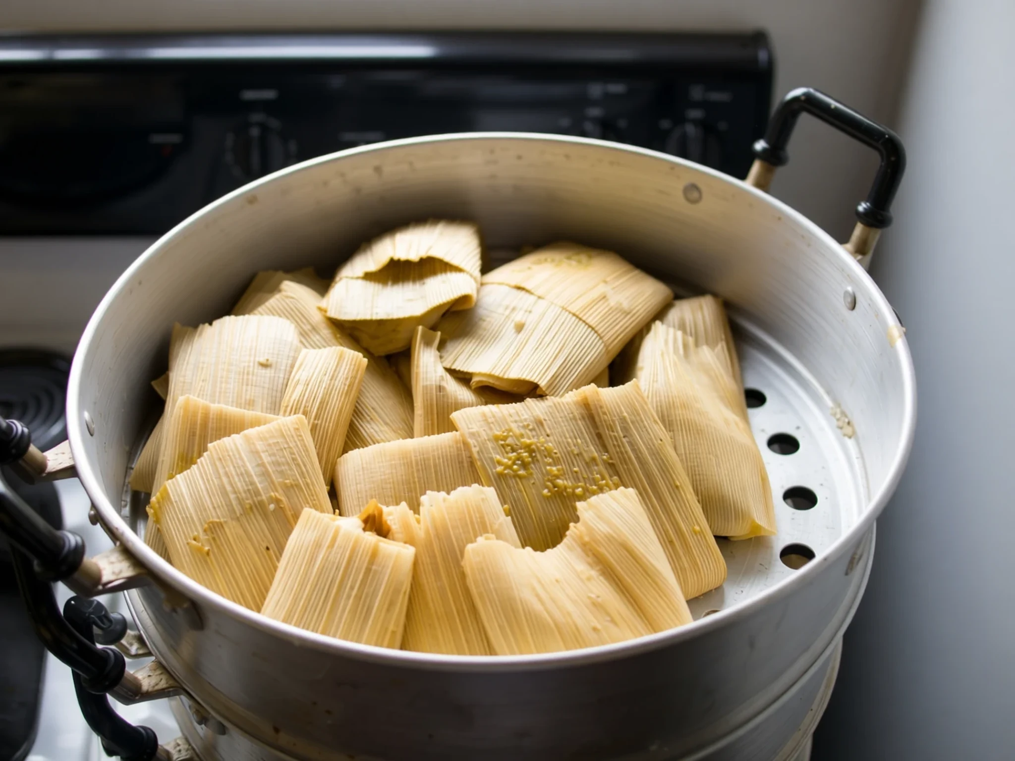
- Black beans and fried plantain — Simple breakfast eateries along the main road
Black beans cooked soft and served with fried ripe plantain, often with cream and fresh cheese, make the classic breakfast in small local eateries. These comedores are plain, quick and inexpensive, and they suit the early start that the morning heat encourages.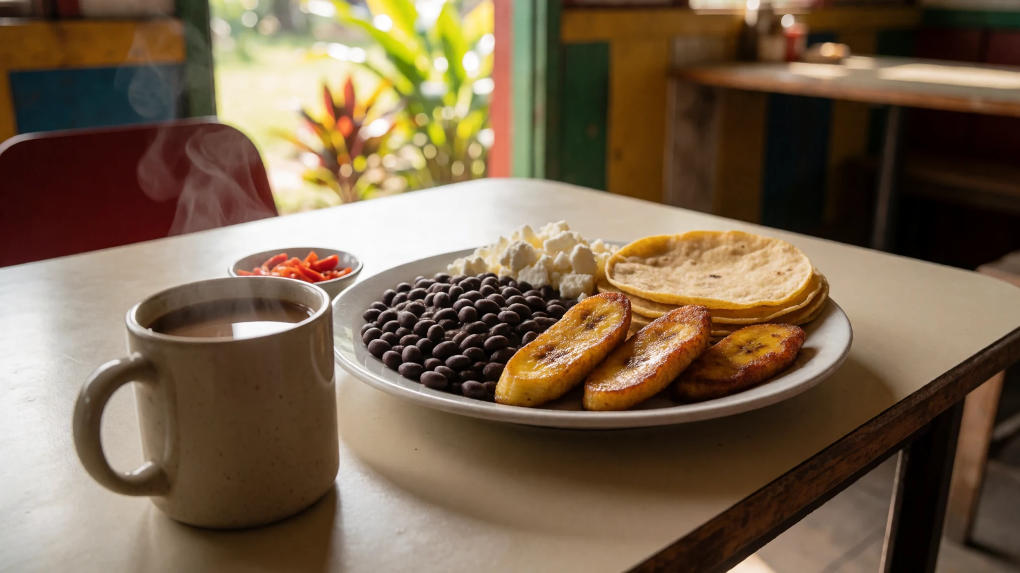
- Pepián — Family-run comedores in towns and villages
Pepián is a rich stew of meat and vegetables thickened with toasted seeds, and it is one of the traditional dishes of Guatemalan cooking. Family-run comedores serve it at midday, usually with rice and fresh tortillas. It is hearty and well suited to a long afternoon after walking the site.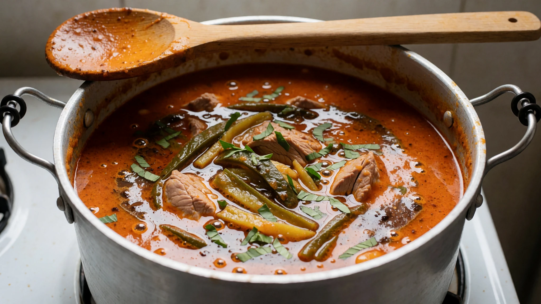
- Freshwater and lake fish — Waterside restaurants at Río Dulce
The Río Dulce and Lake Izabal are known for fish served grilled or in broth, and the waterside restaurants there are the natural place to eat it. Ask what is fresh that day. The setting on the water makes an easy evening after a hot day at the ruins. - Fresh tortillas with cheese and chirmol — Market stalls and the simplest eateries
Warm handmade tortillas with fresh cheese and chirmol, a tomato and chilli salsa, are the everyday food of Guatemala. Market stalls make them to order, and they are a cheap, filling snack to carry on a day trip. Ask for them without much chilli if you prefer milder food.
Plan it
Best time. January to April is the dry season and the most comfortable time to visit, with fewer storms and easier walking on the paths. May to December brings rain, often heavy in the afternoons, and the lowland heat is strong all year, so an early start suits any month.
How long. 1–2
Getting there. Fly into La Aurora in Guatemala City, then take a bus from the main terminal, changing at Río Hondo and again at Los Amates. Ask locally for the final stretch to the site, or hire a car or driver for a direct trip.
Budget. low
Tips
- Start early, before the midday heat, and bring water and sun cover because shade is limited
- Stay overnight in Los Amates or Río Dulce to visit in the cooler hours and avoid day-trip crowds
- Carry cash in quetzales for buses and small purchases, as card payments are not reliable in small towns
- Check the official site for current opening times and entry fees before you travel
- Allow time for the museum first, then walk the Gran Plaza and the acropolis
Etiquette
- Stay on the marked paths and do not touch or climb the stelae
- Ask before photographing people, especially in villages and markets
- Keep noise low around the monuments and the museum
Nearby
Sources
- Wikidata Q318422 (CC0)
- Wikipedia: Quiriguá (rev 1381377437) (CC BY-SA 4.0)
- Wikivoyage: Quiriguá (rev 5329511) (CC BY-SA 4.0)
- Escultura de Quiriguá (photo 01), S2RD2 (CC BY 2.5)
- GT Quirigua StelaE (photo 02), Jan Pešula (CC BY 3.0)
- Flickr archer10 Guatemala-0569 (photo 03), Dennis Jarvis (CC BY-SA 2.0)
- Flickr archer10 Guatemala-0576 (photo 04), Dennis Jarvis (CC BY-SA 2.0)
- Flickr archer10 Guatemala-0657 (photo 05), Dennis Jarvis (CC BY-SA 2.0)
- Flickr archer10 Guatemala-0648 (photo 06), Dennis Jarvis (CC BY-SA 2.0)
- Flickr archer10 Guatemala-0580 (photo 07), Dennis Jarvis (CC BY-SA 2.0)
- MA D293 Maya stone carving from Copan (photo 08) (Public domain)


