Purnululu National Park
Purnululu National Park, Australia
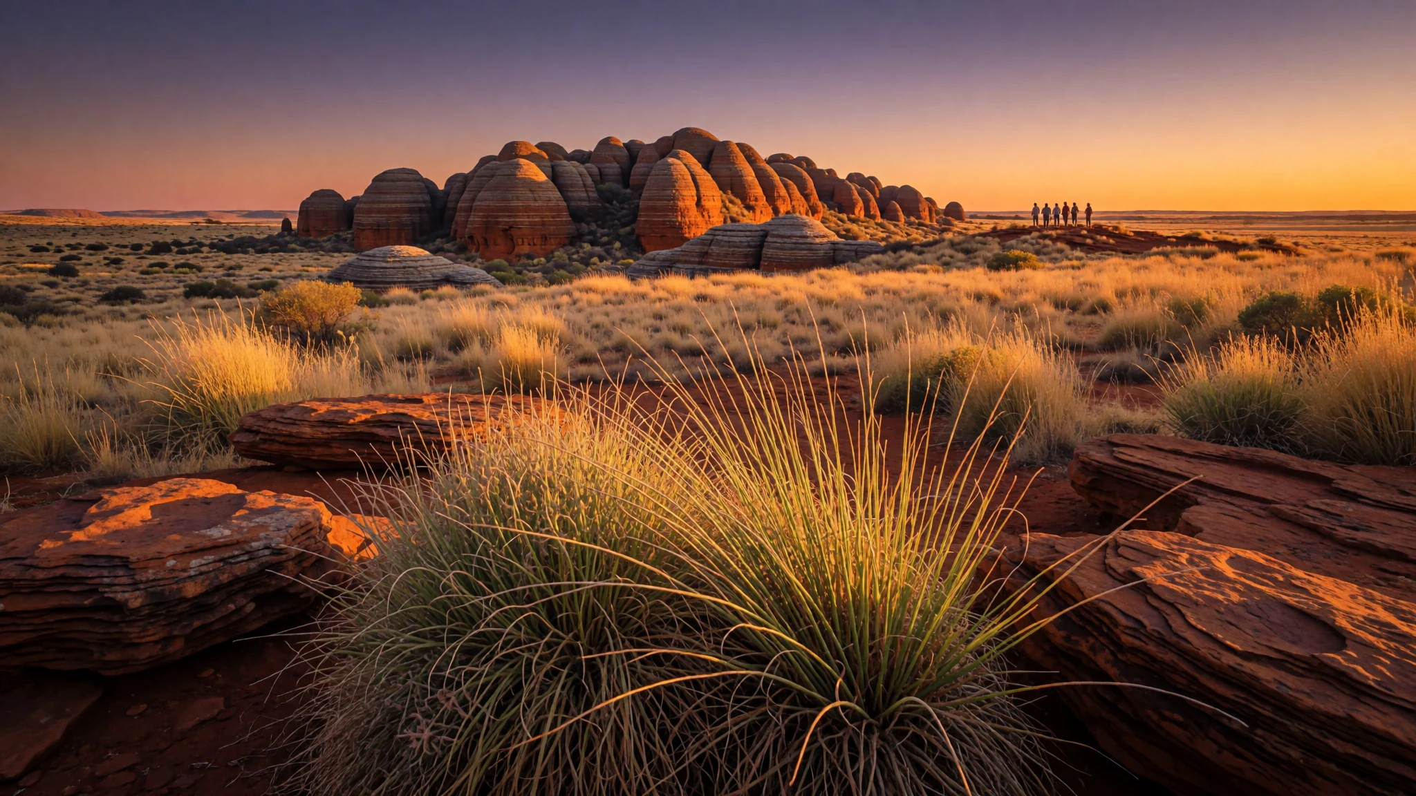
Striped beehive domes of sandstone rise from the savannah of the East Kimberley, and the walk in to them is worth the rough road.
The place
Purnululu National Park lies in the East Kimberley region of Western Australia, about 300 km south of Kununurra, the main town in the area. Its 239,723 hectares are managed as wilderness, and the main road in is a long unsealed track that is passable in the dry season alone, though helicopter and light aircraft tours also fly in. The reason to make the effort is the Bungle Bungle Range, a plateau of ancient sandstone that has been carved into rows of beehive-shaped towers. Many of them rise around 250 m above the grassland that surrounds them, and their dark and orange bands catch the light in a way that changes hour by hour. Deep, narrow gorges, some 100 to 200 m deep, slice through the plateau, so the towers stand in a maze of walls, slots and sudden drops. The ground underfoot is more fragile than it looks: a thin crust holds the sand together, and it breaks easily under boots. Most people stay overnight rather than make a day of it, because the drive back is long and the light is best late in the day. The park was established in 1987 and joined the World Heritage List in 2003. Its name comes from a Djaru Aboriginal term for the area, and the country is hot, open and very quiet, with colours that shift through the day.
Its story
The story of Purnululu begins long before the park existed. The Djaru people have a name for this country, Bullmanlulu, and the word Purnululu grew from it, so the park carries an Aboriginal name rather than a European one. The landscape is far older again. The towers were once part of a flat plateau of Devonian sandstone, and over a very long stretch of time, wind, rain and sheet wash lifted sand grains away from the surfaces and shaped the rock into domes. The black and orange bands are the work of cyanobacteria, tiny single-celled organisms that formed crusts on the stone, and those crusts help stabilise and protect the sandstone. The exact sequence by which the towers took their present shape is still not fully understood, so the explanations here should be read as the best current picture rather than settled fact. The erosion has been going on for around 20 million years. The park was established in 1987, and in 2003 it was added to the World Heritage List, a listing that recognised both the landscape's beauty and its geological interest. Today the story is one of managing access: a rough road, a fragile surface, and a landscape that depends on people keeping to the marked paths.
What to see
- Kungkalanayi Lookout — north of the Visitor Centre
Kungkalanayi Lookout sits about 2.5 km north of the Visitor Centre, reached by taking the left fork at the Three Ways junction. From the parking area it is a short 500 m walk to a viewpoint that takes in a full 360° panorama of the Bungle Bungle Range. Arrive in the late afternoon if you can, because the towers take on their deepest colour as the light lowers, and many people stay on until dusk.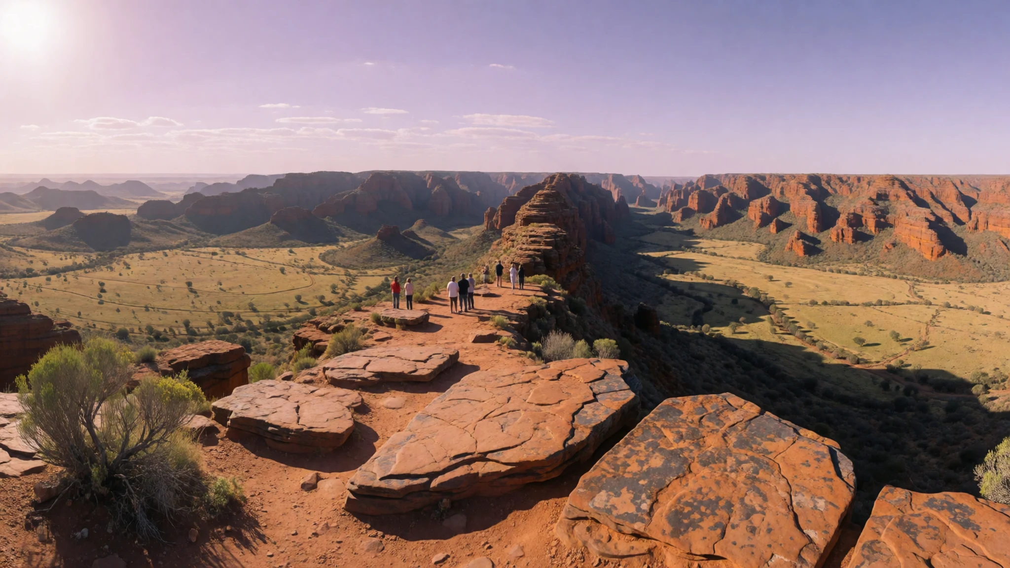
- Echidna Chasm — Bloodwoods car park area
Echidna Chasm is a gorge about 180 m deep, lined with Livistona palms. Park at the Bloodwoods car park, formerly called Frogholes, and follow the 1 km trail, which becomes a scramble over boulders near the end. Aim to be there between 11 am and 1 pm, when the overhead sun reaches into the chasm and sets the rock walls glowing.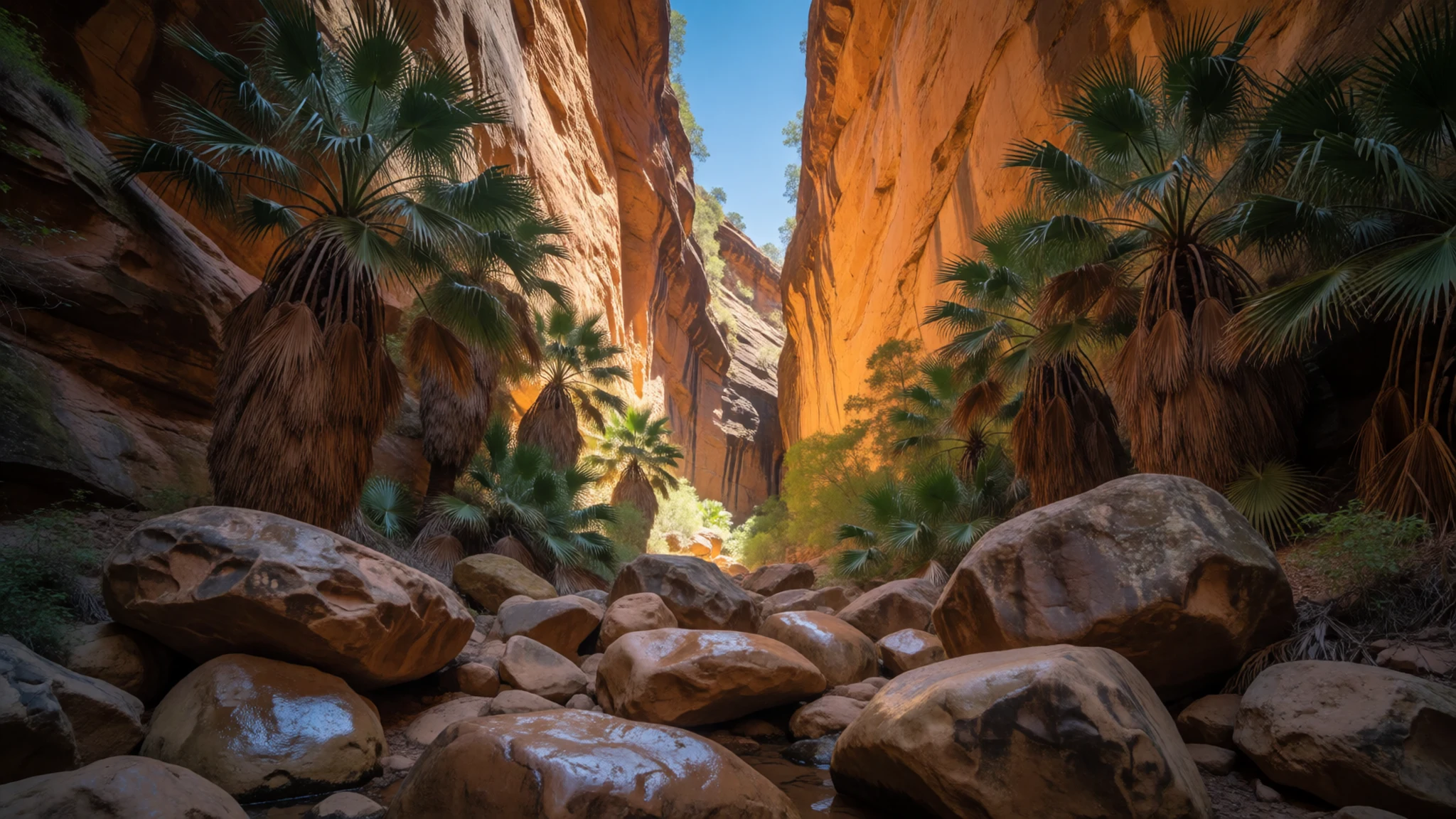
- Mini Palms Gorge — south-west of Bloodwoods
Mini Palms Gorge lies about 2 km south-west of the Bloodwoods car park. Its floor is filled with palms no taller than bonsai, which somehow survive the seasonal floods. The trail becomes a boulder scramble before it reaches two viewing platforms. Look from the platforms rather than walking into the gorge, because boots damage the palms.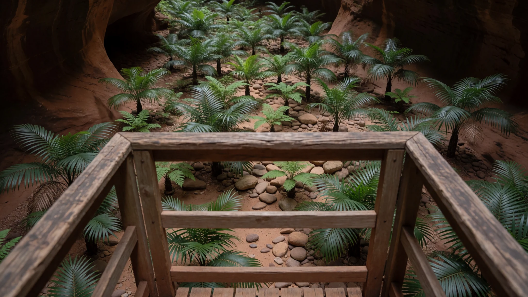
- The Domes — west of Piccaninny
The Domes, the sandstone beehives that appear on most park photographs, begin about 300 m west of the Piccaninny parking area. The trail is easy, which makes it a good first walk, and you can get close enough to see the crusted surface and the banding up close. Stay on the path, since the crust is what holds the towers together.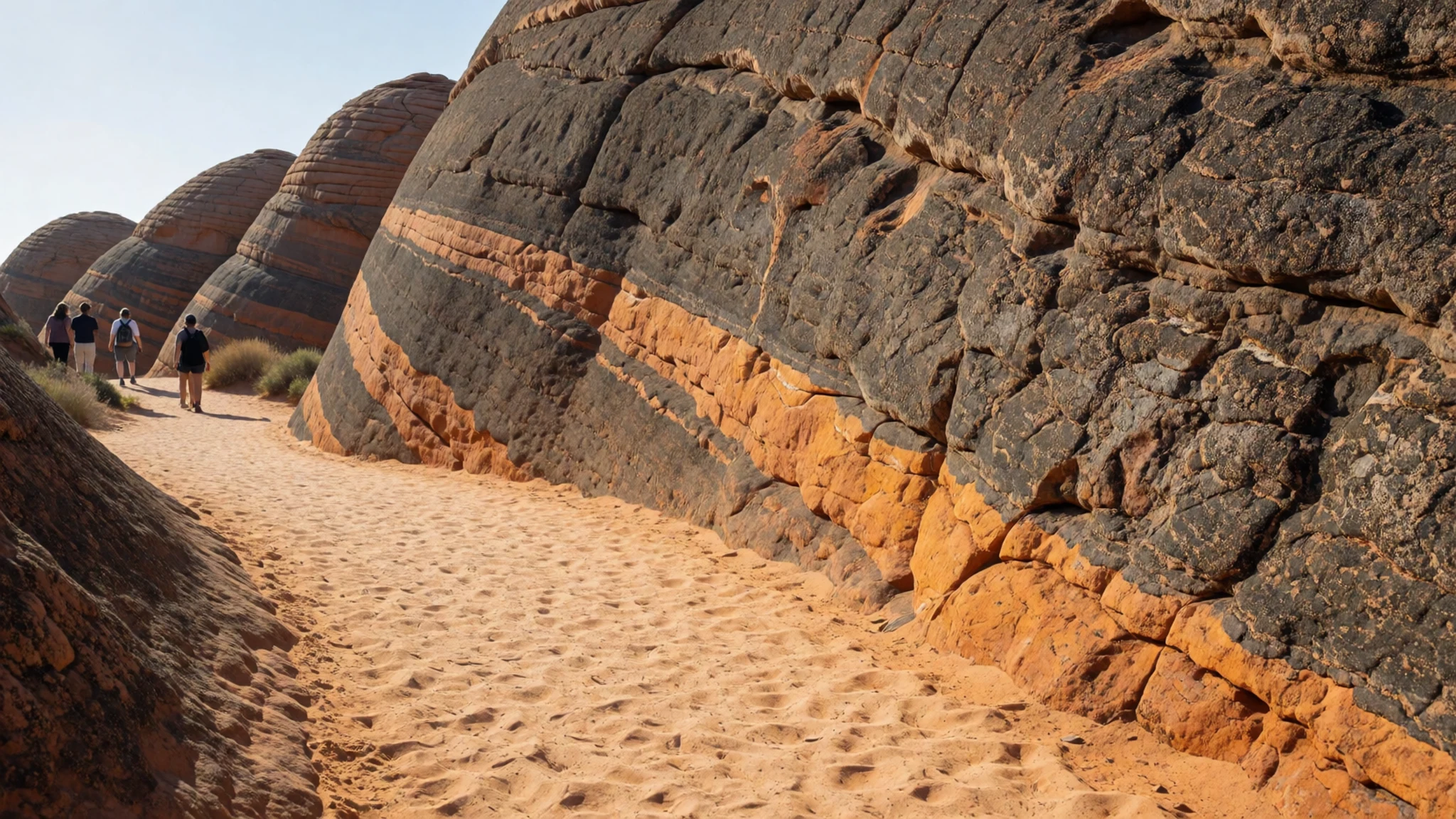
- Cathedral Gorge — north of Piccaninny
Cathedral Gorge is reached by a trail of about 1 km north from Piccaninny. The walls close in around you at first, then open into a natural amphitheatre carved out by an old river eddy. The acoustics and the light inside make it a good place to sit quietly for a while, away from the bulk of the day's visitors.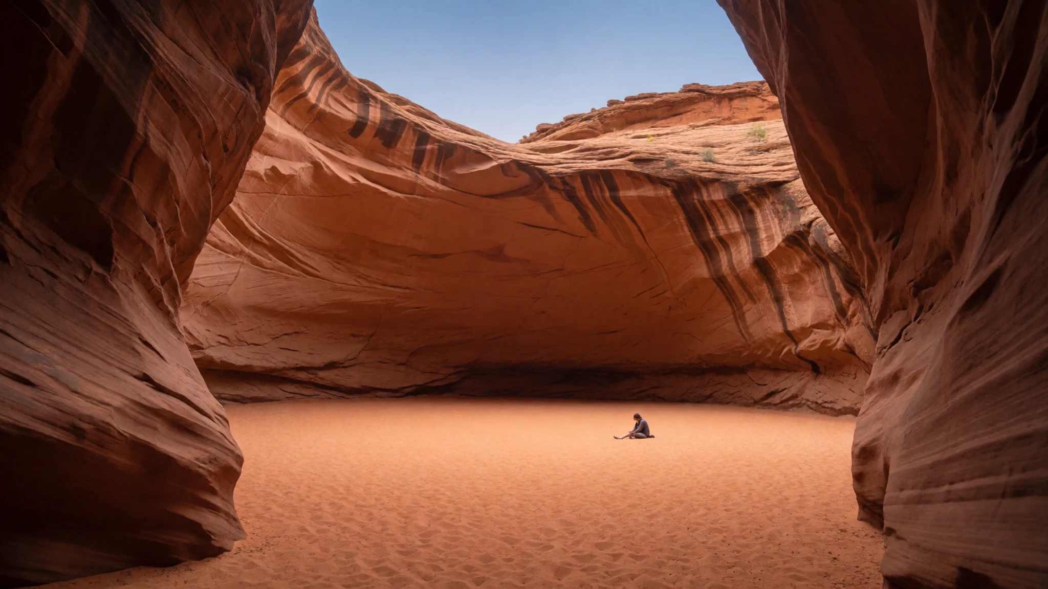
Culture
The name Purnululu comes from a Djaru Aboriginal term for this area, so it is worth treating the park as a living cultural landscape rather than only a scenic one. The Kimberley has a strong Aboriginal art tradition, and the community of Warmun, on the highway to the north, has a thriving art scene, which makes it a good stop before or after the park to buy work directly from artists. The park is managed as wilderness, and the ranger station at the Visitor Centre handles bookings, admission and safety checks. Staff can turn people back if they have not booked, and the park may close when extreme heat or wildfire makes the land unsafe, so accept those decisions without argument. Most visitors simply behave well, and that matters here. Stay on the marked trails and do not walk into Mini Palms Gorge, because the palms there are easily damaged by boots.
What to wear
The sources behind this reading do not record a traditional dress specific to Purnululu, so what follows is general background for the wider Kimberley. Across the region, body painting with ochre and rock art have been central to Aboriginal ceremony, while cloth clothing came in later, after European contact, so textiles are a more recent layer than the painting. Today people in the area wear practical outback clothing: long-sleeved cotton shirts, moleskin or denim trousers, wide-brimmed hats and sturdy boots, worn by rangers, tour staff and campers alike. Kununurra and Warmun show the same mix of workwear and casual summer clothes. For a visitor, the climate decides most things. Pack loose, light long sleeves that protect against sun and scratches, a hat, and closed shoes with good grip, because the trail to Echidna Chasm turns into a scramble over boulders. Bring swimwear for the creek, but change before you return to the road or the community. Covered, modest clothing is sensible at Warmun, where people may be going about their own business.
What to eat
- Packed lunch and snacks — the Visitor Centre shop, or your own cooler from Kununurra
The visitor centre sells snacks and quick eateries, but they are expensive even by Kimberley standards. A packed lunch from Kununurra, eaten in the shade of the Kurrajong campground or at a lookout, is the sensible choice. Pack more water than you think you need, because the creek water is fine for splashing but not for drinking.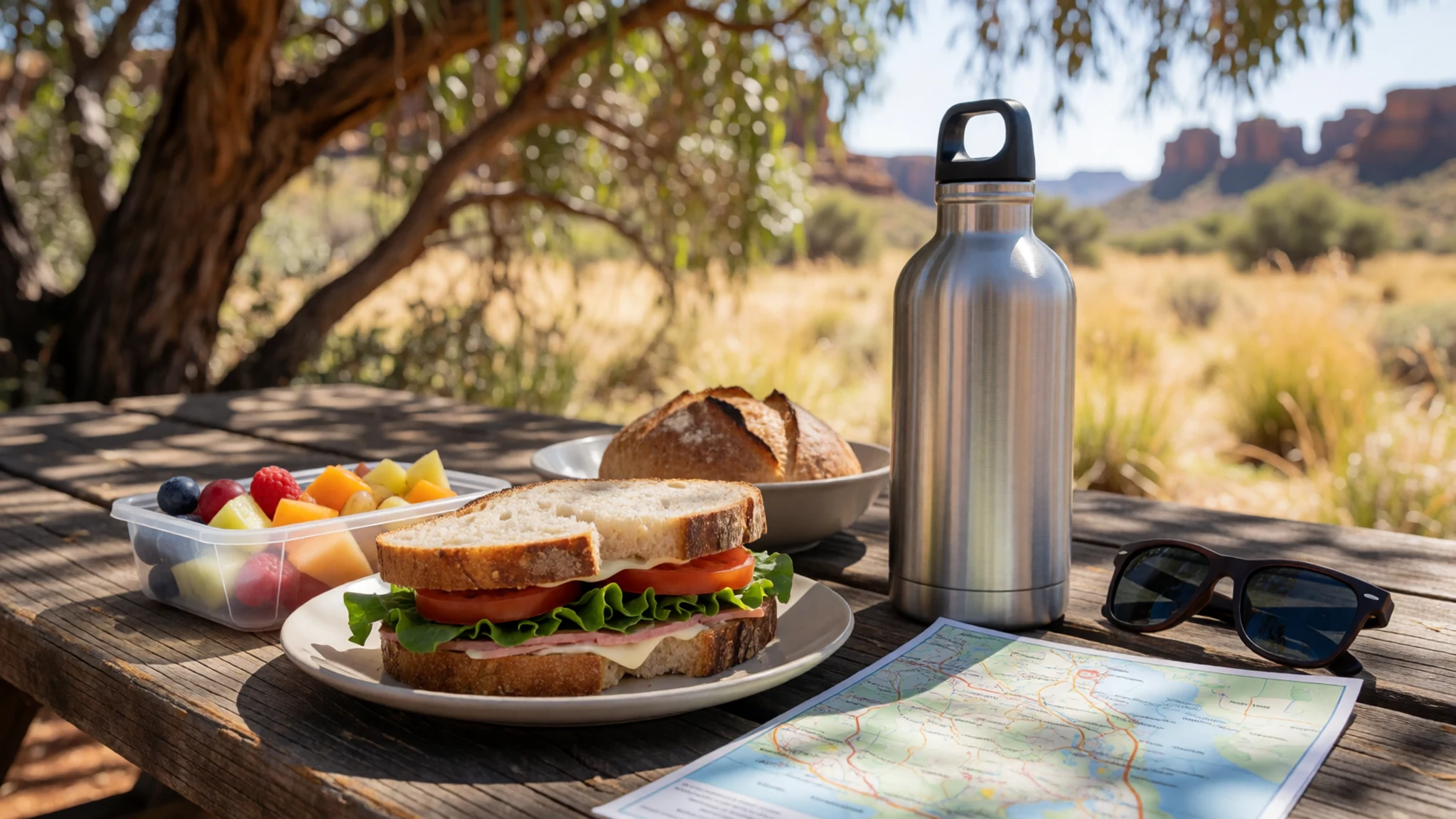
- Dinner at Savannah Lodge — the lodge dining room, booked ahead
If you provide advance notice, Savannah Lodge provides breakfast and dinner for those not staying overnight, and it has a bar. After a long day on the track, a sit-down meal there is a welcome change from camp food. Ask about dinner when you book, since the kitchen works to notice rather than walk-ins.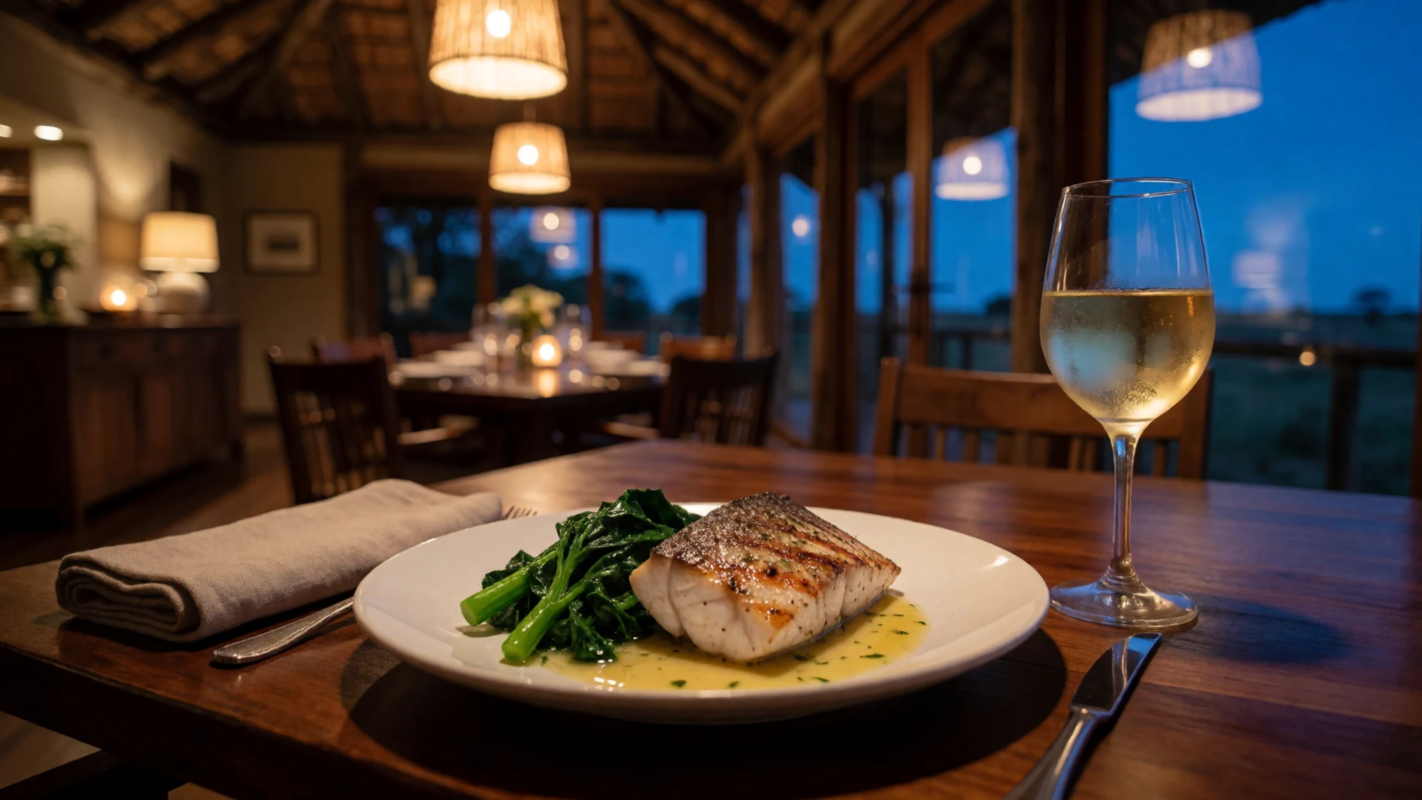
- Barramundi — a restaurant in Kununurra
Barramundi is the Kimberley's most common fish on restaurant menus, usually grilled or pan-fried with lemon and a simple salad. Order it in Kununurra before you head south, when fresh fish is easier to find than out on the track. It makes a good meal to end a day of driving.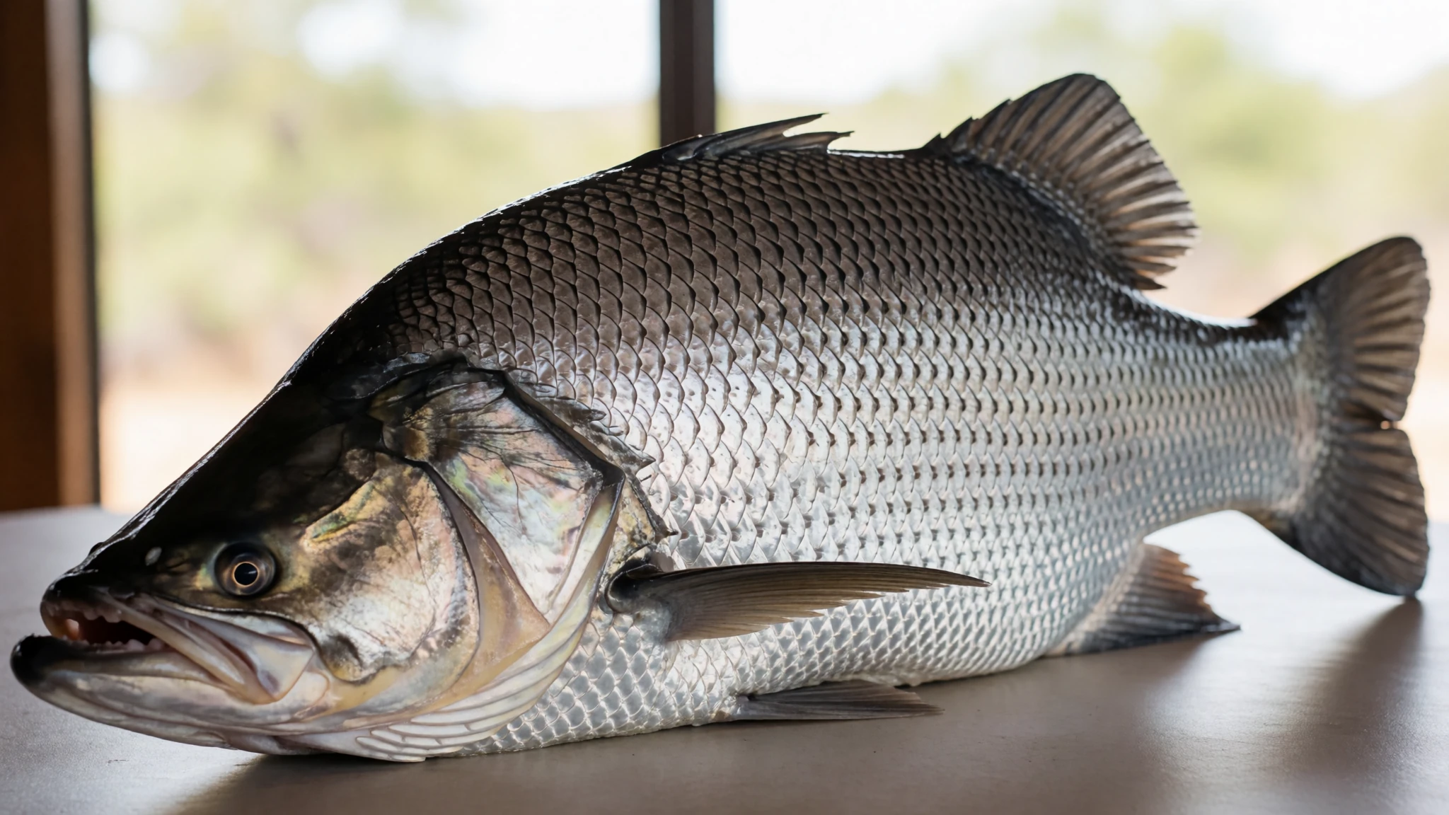
- Ord River mangoes — a fruit stall or market in Kununurra, in season
The Ord irrigation scheme around Kununurra supports a lush area of gardens and orchards, and mangoes are one of the seasonal treats you will see for sale. Buy them in season from a fruit stall or the local market before you drive into the park. They travel well in a cool box for the rough road. - Damper by the campfire — a campfire at one of the two designated campgrounds
Damper is a simple bush bread of flour, water and a little fat, cooked in the coals of a campfire. It is the kind of food that suits a campground after dark, when the temperature drops and the stars come out. Many people bring the flour from town and cook it on the night before a walk.
Plan it
Best time. The dry season, roughly April to December, is when the track is passable, and the days are dry, with June to August the most comfortable. Only high-clearance 4WD vehicles can use the road in the dry season, and the wet season makes it impassable, so plan for the cooler months and avoid the hottest weeks, when the park can close.
How long. 2–3
Getting there. No scheduled air service reaches the park, so fly or drive to Kununurra first. The last leg is the Spring Creek Track, 53 km of unsealed, ungraded road that branches off the Great Northern Highway, and it takes about 3 hours to reach the Ranger Station and Visitor Centre. Helicopter tours fly from Bellburn airstrip inside the park, and non-landing aircraft tours leave from Kununurra.
Budget. high
Tips
- Book before you travel; you may be turned back at the ranger station without a booking.
- Allow about 3 hours for the rough drive from the highway turn-off, and reach the park with daylight to spare.
- Start the walks early, and plan Echidna Chasm for between 11 am and 1 pm, when sunlight reaches the floor.
- Carry plenty of water; the park may close if temperatures rise above 40°C or wildfires break out.
- Leave caravans at the Spring Creek rest area, and camp only at the two designated campgrounds, since backcountry camping is not permitted.
- Check the official site at http://parks.dpaw.wa.gov.au/park/purnululu before you set out.
Etiquette
- Stay on the marked trails, because the surface is crusted and fragile.
- Do not walk into Mini Palms Gorge; view the palms from the platforms.
- Take all your rubbish out with you.
Nearby
Sources
- Wikidata Q679568 (CC0)
- Wikipedia (rev 1365739164) (CC BY-SA 4.0)
- Wikivoyage (rev 5345028) (CC BY-SA 4.0)
- Photo 01: W. Bulach, Purnululu Nationalpark (00 2161) (CC BY-SA 4.0)
- Photo 02: Graeme Churchard, Echidna chasm WA (CC BY 2.5)
- Photo 03: Nichollas Harrison, Bungle Bungles range (CC BY-SA 4.0)
- Photo 04: Graeme Churchard, The Domes Walk (CC BY 2.5)
- Photo 05: Bäras, Purnululu3 (CC BY 3.0)
- Photo 06: W. Bulach, Hiking trails (CC BY-SA 4.0)
- Photo 07: W. Bulach, Bungle Bungle (CC BY-SA 4.0)
- Photo 08: W. Bulach, Purnululu National Park (Australia) (CC BY-SA 4.0)


