Preah Vihear
Preah Vihear, Cambodia
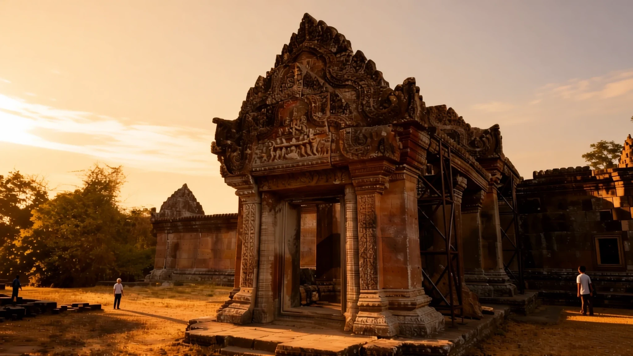
A Khmer temple on a cliff edge in the Dângrêk Mountains, with a long climb, a long drive and views across the Cambodian forest.
The place
Preah Vihear is a Khmer temple built on a cliff in the Dângrêk Mountains of northern Cambodia. Its name is often rendered as the sanctuary of the gods. The site was first developed for Hindu worship and later passed to Buddhist use, and the buildings still carry traces of both. Because the cliff sits on a natural ridge, the temple is laid out very differently from most Khmer temples. Instead of a compact rectangle facing east, it stretches along a long north–south axis, so a visit feels more like following a ridge than entering a single courtyard. The complex runs about 800 metres from end to end, with gateways, stairways and courtyards climbing the slope one after another. The stonework shows several building periods, because successive rulers added to and altered the site. The temple gives its name to the surrounding province, which is rural and quiet. Getting up to the top takes effort, and the heat can be intense even in the dry months, so plan an early start and carry water. The reason many people make the trip is the outlook: from the cliff edge the land falls away sharply into forest, and the plains beyond are cut off by the border.
Its story
Preah Vihear's story begins in 893, when the first temple was founded on the cliff and dedicated to Shiva in his mountain forms. The earliest surviving stonework dates from a later period, when the Khmer capital was at Koh Ker, and some carving shows the style of Banteay Srei. Most of the buildings you see today went up under the kings Suryavarman I and Suryavarman II. An inscription found at the site describes the second of these kings studying sacred rites, holding religious festivals and making generous gifts to his spiritual adviser, a Brahmin who in turn donated a golden figure of a dancing Shiva. As Hinduism declined across the region, the temple was taken over by Buddhists, who still use the central sanctuary. The modern story is more contested. After independence, Cambodia and Thailand disagreed over the border in this area, because each side relied on different maps. In 1962 the International Court of Justice in The Hague ruled that the temple lay in Cambodia. Its listing as a UNESCO World Heritage Site in 2008 sharpened the argument, and another court ruling in 2013 confirmed Cambodian sovereignty over the temple area. Armed clashes between soldiers on both sides have flared in several years, most recently in 2025, so the political situation is worth checking before you go.
What to see
- The stone steps and naga stairway — Lower slope, Choam Khsant district
The climb begins at the foot of the slope, where the only way up is on foot or by vehicle. The first flight of stone steps is steep enough to warm you up quickly. Higher up, a short stairway lined with naga serpent balustrades leads to a pavilion called Gopura I, a reminder of the decorative care that went into even the approach.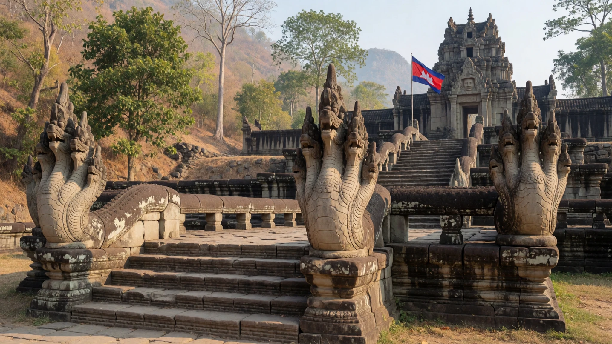
- Gopura III and the modern relics — Upper approach, near the first courtyard
The third gateway marks the first courtyard of the temple, and it is the first place where many visitors feel a strong sense of familiarity with Angkor. Step to one side of the gateway to see a rusting artillery gun and a few bunkers. These military remains are a sober reminder that the site has been contested in living memory.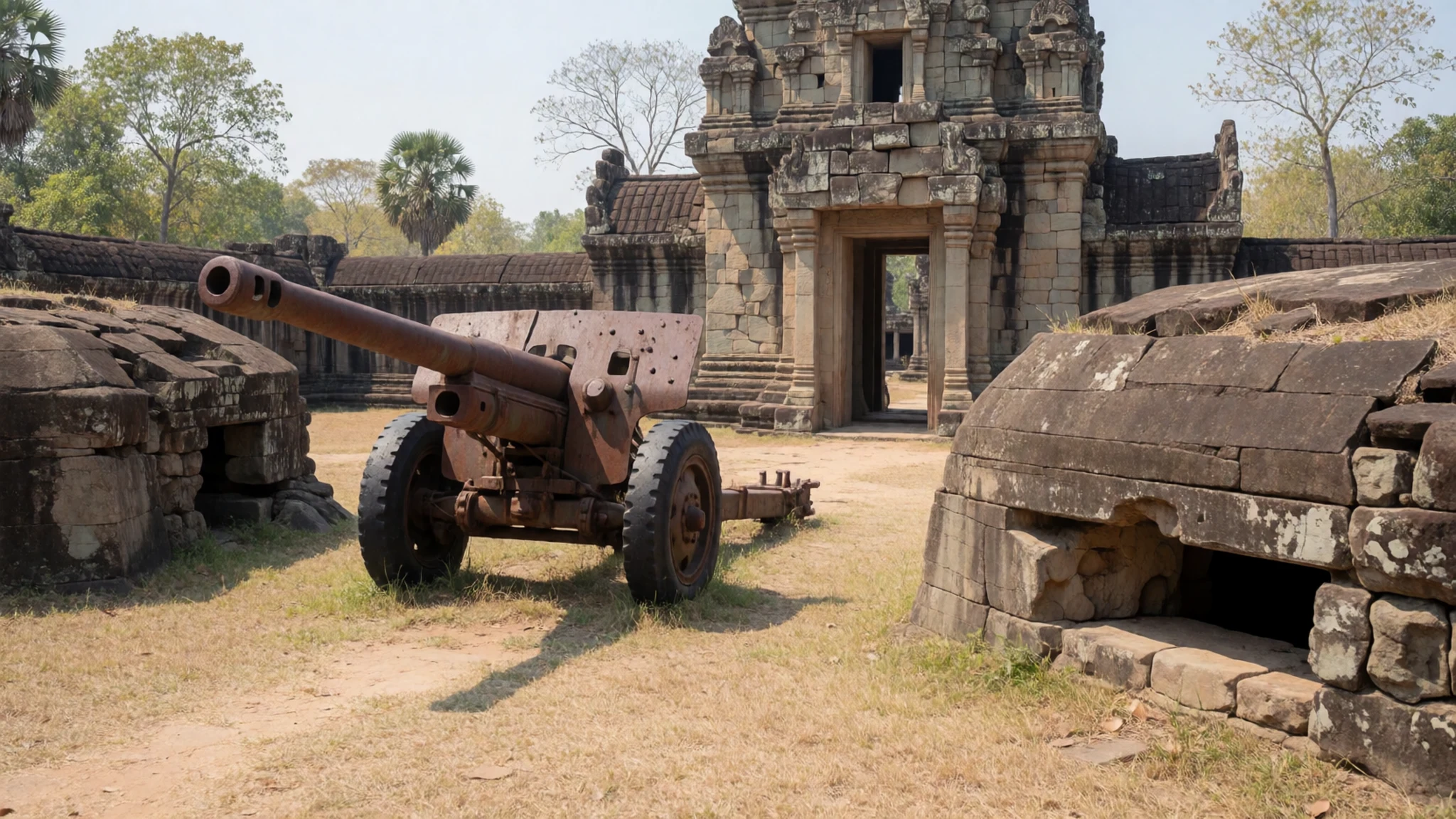
- The galleries and second courtyard — Central courtyards
A short causeway with naga railings crosses to the fourth gateway, and beyond it lies a second courtyard. The galleries on the far side give the best sense of how the temple was built in layers. Take time here to look at the carved lintels and the way the stone has weathered over the centuries.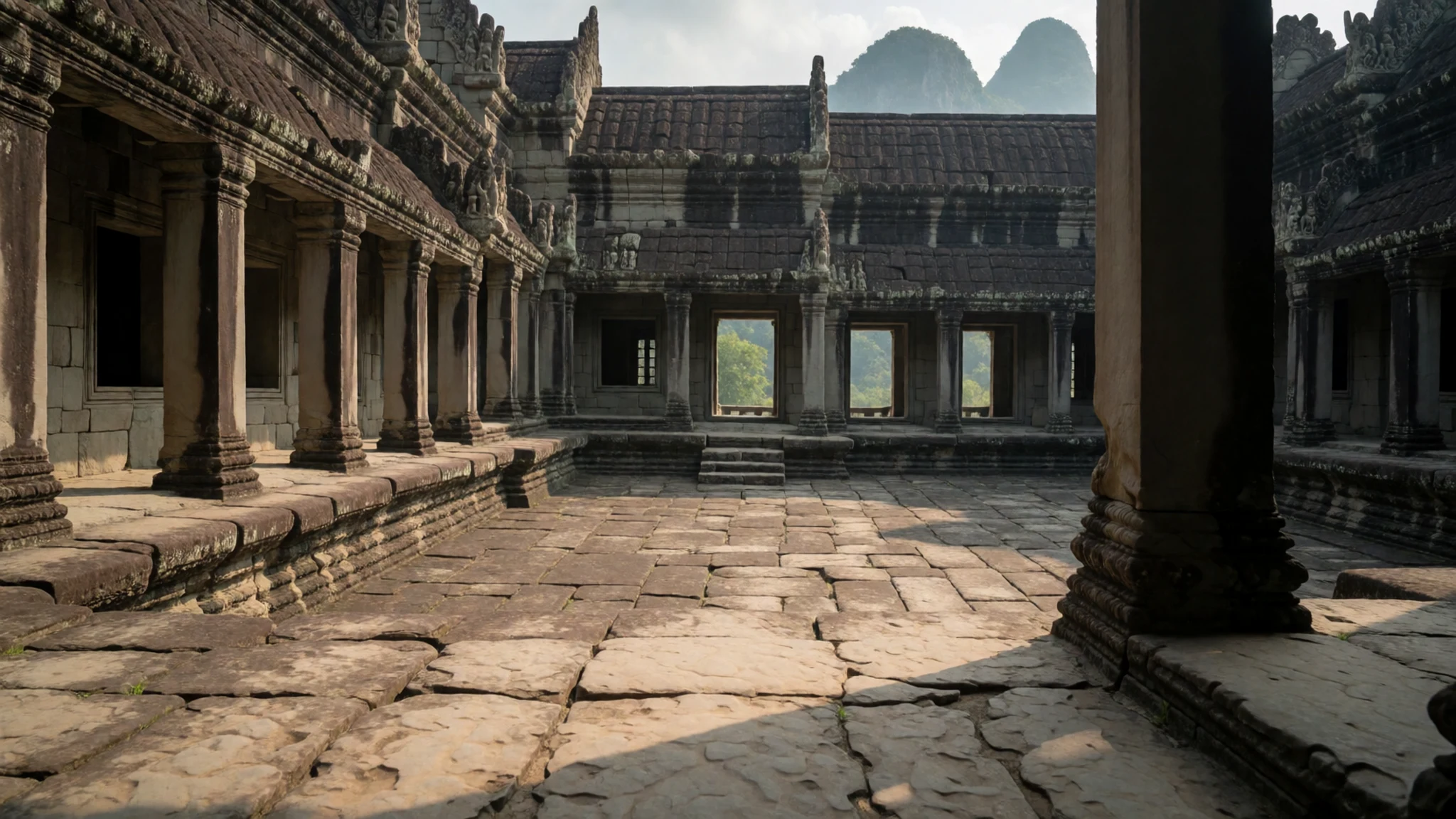
- The Main Sanctuary — Summit of the temple complex
The Main Sanctuary is the centrepiece of the site. It is the part of the temple that most clearly reflects the Hindu origins of the building. Today a small Buddhist shrine has been placed inside, so you will see offerings and candles alongside the old stone. Respectful behaviour matters here, as it is an active place of worship.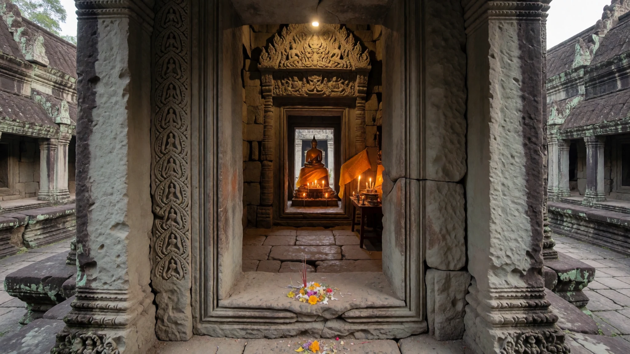
- Pei Ta Da Cliff viewpoint — North-east edge of the cliff
Leave the sanctuary by a side exit to reach Pei Ta Da Cliff, where the rock falls away almost vertically into the jungle. The view across the forested valley is the reason many people walk the whole route. Stay well back from the edge, as the drop is sheer and there are no barriers.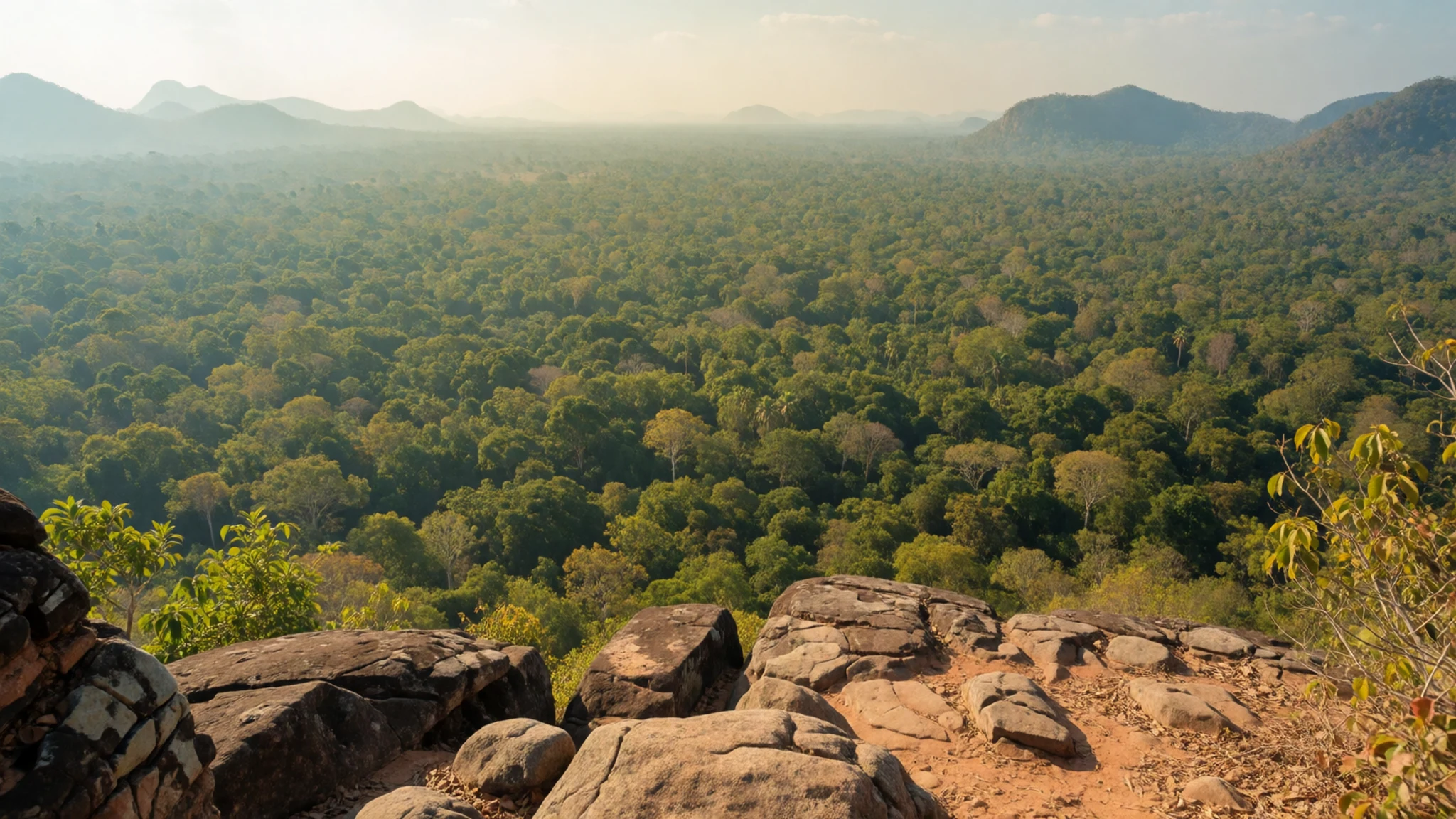
Culture
Preah Vihear is a working religious site as well as an archaeological one, and its visitors are expected to behave accordingly. Shrines and the central sanctuary are places of worship, so speak quietly, avoid climbing on carved stonework and ask before photographing monks or people at prayer. Modest dress is appreciated throughout the site. The Buddhist shrine inside the sanctuary is treated with particular care, and locals will expect you to step back and keep your voice low when offerings are being made. The site is also close to a politically sensitive border, and military personnel are present along the access road and around the temple. Be polite and avoid pointing cameras at soldiers or checkpoints, since such photographs can cause trouble. Public displays of anger about the dispute are best avoided, even in casual conversation. If you are asked about the border, a calm and neutral answer will keep things friendly. Shoes should come off wherever you see a raised step, a sanctuary floor or a shrine platform. Remove them before stepping onto those surfaces, and keep them with you so you are not barefoot on hot stone.
What to wear
Preah Vihear's traditional dress is the Khmer sampot, a wrapped lower garment worn by men and women, often made from woven silk or cotton with bold checks or stripes. Its textiles reflect the region's long weaving tradition, and the krama, a checked scarf, is still widely used for protection from sun and dust. These garments are most often worn at ceremonies, weddings and religious occasions rather than on ordinary days. What people wear now is simple and practical. In the villages and towns near the temple, you will see loose cotton shirts, trousers or sarongs, and sturdy footwear suited to heat and dust. Younger people wear jeans and t-shirts, while older residents often favour the krama and light long sleeves. For a visit, dress for heat and steep stone. Choose loose, lightweight clothing that covers your shoulders and knees, since this is a place of worship and modesty is expected at the top. Bring a hat and sunglasses, and wear closed shoes with good grip, because the steps are uneven and can be slippery after rain. A light layer is useful, because the cliff can be windy.
What to eat
- Grilled skewers from roadside stalls — Grill stalls at the base of the access road
Simple grill stalls operate near the parking and shopping shacks at the foot of the climb. They serve skewers of pork or chicken, often with a sweet and salty dipping sauce and sticky rice. Choose the stall with the most customers, and eat the food hot.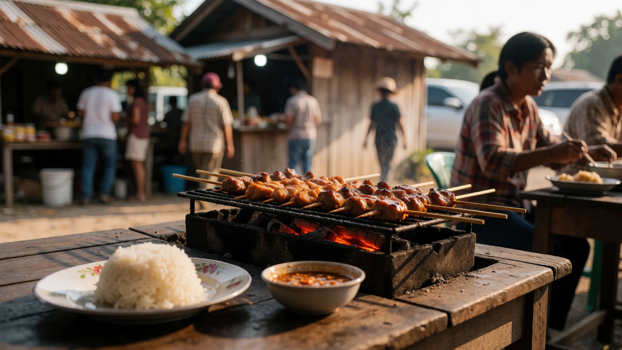
- Rice dishes in Sra Ehm — Rice restaurants near the main roundabout in Sra Ehm
The nearest town, Sra Ehm, is the best place for a proper meal before or after the climb. Most of the rice restaurants are clustered near the main roundabout. Expect plates of fried rice and stir-fried vegetables, served in simple, family-run eateries where the cooks know what local travellers want.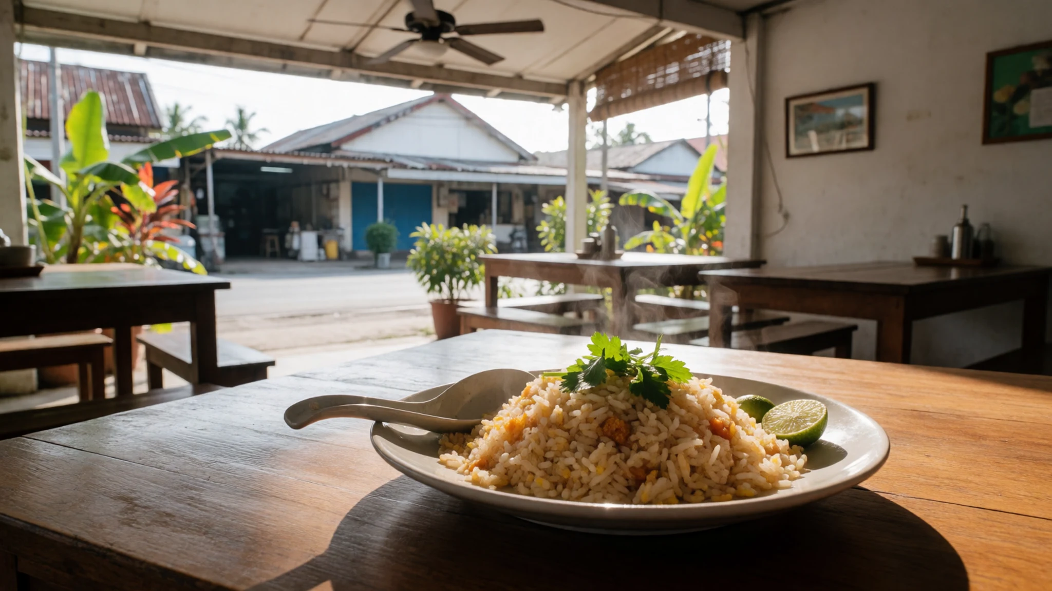
- Amok fish curry — Family-run rice restaurants in Sra Ehm
Amok is the classic Cambodian dish of fish, coconut milk and kroeung paste, steamed in banana leaf until it sets into a soft custard. It is worth ordering in a rice restaurant that makes it fresh. Ask whether it is made with river fish, which is typical, and eat it with plain rice. - Cold drinks from trailside stalls — Stalls along the path and at the car park
Drink stalls are common along the trail, selling bottled water, soft drinks and fresh coconut. Buy from stalls with a steady stream of customers, and carry your own water as well. Staying hydrated matters more than the choice of drink, given the heat and the climb.
Plan it
Best time. The dry months from December to February have the least rain, but highs of 36 to 41°C make them very hot, April is the hottest month, and September is the wettest, when the steps become slippery. Check current conditions before you travel, as the access road can become difficult in rain.
How long. 2–3
Getting there. Fly into Siem Reap, which is about a day's drive away over a paved road to Anlong Veng and onward to the base of the hill. A four-wheel drive or motorbike is needed for the steep final road up the hill. Buses also run from Phnom Penh, and day trips from Siem Reap are offered by tour operators.
Budget. low
Tips
- Start early, before the heat builds, and carry plenty of water
- Bring identification, as it is required at the ticket office
- Check the current entry fee and transport options locally, since prices change
- Carry cash for small purchases, because cards are rarely accepted at stalls
- Ask locally about the security situation before you set out
Etiquette
- Dress modestly at the summit, and cover shoulders and knees
- Do not photograph soldiers or checkpoints
Nearby
Sources
- Wikidata Q45949 (CC0)
- Wikipedia: Preah Vihear (rev 1382335579) (CC BY-SA 4.0)
- Wikivoyage: Preah Vihear (rev 5314160) (CC BY-SA 4.0)
- Temple of Preah Vihear, Cambodia (PsamatheM) (CC BY-SA 4.0)
- Map of the Thailand–Cambodia boundary near Preah Vihear (H. Barrere / ICJ) (Public domain)
- Phoukrisharjuna.jpg (unknown author) (CC BY 3.0)
- Provisional demilitarised zone sketch map (ICJ) (Public domain)
- Preah Vihear Temple (Detlef Garbrecht) (Public domain)
- Prasat Preah Vihear (Clemens Schmillen) (CC BY-SA 4.0)
- Preah Vihear Temple Cambodia (Tetsuya Kitahata) (CC BY-SA 4.0)
- Temple of Preah Vihear - interior (Chamrat Charoenkhet) (CC BY 3.0)


