Pontcysyllte Aqueduct
Pontcysyllte Aqueduct, United Kingdom
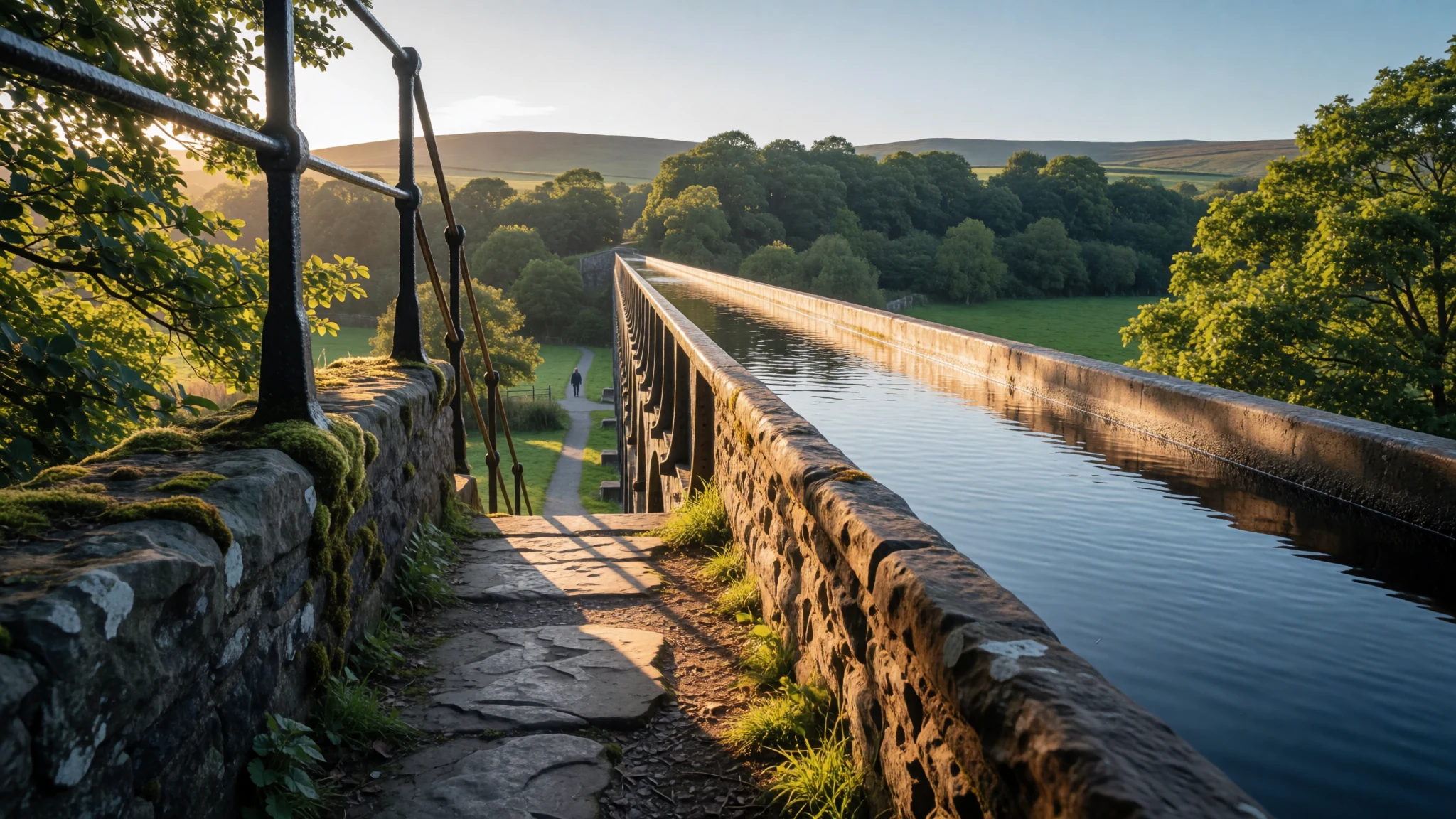
Pontcysyllte Aqueduct feels like walking inside a working canal masterpiece, with slow boats and big valley views.
The place
Pontcysyllte Aqueduct (Welsh: Traphont Ddŵr Pontcysyllte) is a navigable aqueduct in north-east Wales that carries the Llangollen Canal across the River Dee in the Vale of Llangollen. It’s not a dry ruin or a museum set-up: boats still move through the waterway, so the aqueduct works as you watch it, though there can be occasional closures for maintenance.
The structure is built of 19 stone arches with cast iron elements forming a trough for the canal. A towpath runs along one side, which is one reason the place clicks so well for visitors: there’s room to walk, pause for photos, and look down into the valley without needing a boat to enjoy it.
As a landscape landmark, it stands out for the long stretch it spans above the river, and for the contrast between orderly engineering lines and the green, winding river valley below. The aqueduct was completed as part of the Ellesmere Canal project, which aimed to create a commercial link by canal. Work beyond this key crossing didn’t carry on as originally planned, so Pontcysyllte became the defining piece rather than one segment of a bigger system.
Plan a slow half-day here and it will reward you: the water shimmers, the sky changes quickly in Welsh weather, and the mood depends on whether narrowboats are on the move or you’ve got a quiet stretch of towpath to yourself.
Its story
Pontcysyllte Aqueduct is closely tied to the ideas of Thomas Telford and William Jessop and to a specific problem: how to keep a canal waterway moving straight across a deep valley. The location was near an older road crossing at Pont Cysyllte, and once the route across the Vale of Llangollen was approved, the canal needed a crossing that wouldn’t force the journey to break up.
Early planning leaned towards a series of locks down the valley sides, dropping and lifting boats to reach a higher embankment. Telford’s approach shifted the solution towards an aqueduct, creating an uninterrupted water route across the Dee—something that also sounded risky to many onlookers at the time. The confidence came from prior canal engineering experience, including a cast-iron trough aqueduct he had worked on before.
The Ellesmere Canal project had grand ambitions, but the wider plan didn’t fully pay off. What did succeed was this crossing: a finished aqueduct where the main work stopped after the structure was completed. It then became the focal point of the route, and the public face of the engineering effort in the landscape.
The opening to traffic in late November 1805 was commemorated on-site with a formal plaque. Today, the story continues in a more everyday way: narrowboats pass over the water, and the towpath lets visitors experience the height and length at close range, rather than reading about it from afar.
What to see
- Towpath viewpoints along the aqueduct
Pontcysyllte Aqueduct’s towpath gives close, practical views of the canal trough and the valley drop. Walk at a steady pace, stop where the bends open up sightlines, and you’ll see how the stone arches frame the water.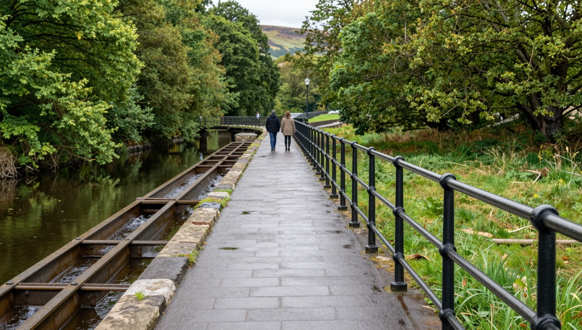
- The aqueduct in valley light
Pontcysyllte Aqueduct looks different depending on the sky: bright weather turns the canal water glassy, while mist softens the iron and stone edges. Stand back from the railings and take in the full span across the Dee valley.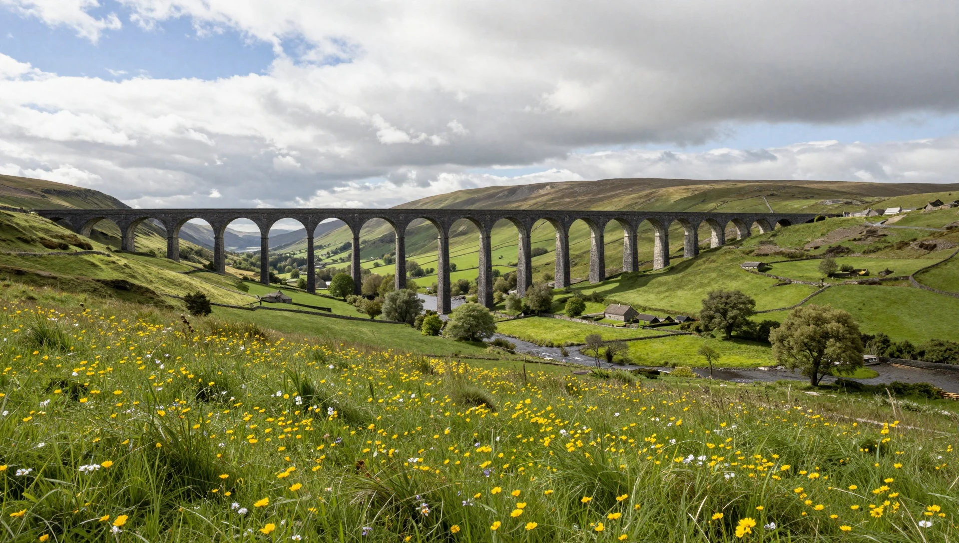
- Inauguration plaque details
On-site, the inauguration plaque sets the context for Pontcysyllte’s engineering ambitions and the people behind the project. It’s a good moment to slow down, read the wording, then look back up at the trough and arches above the river.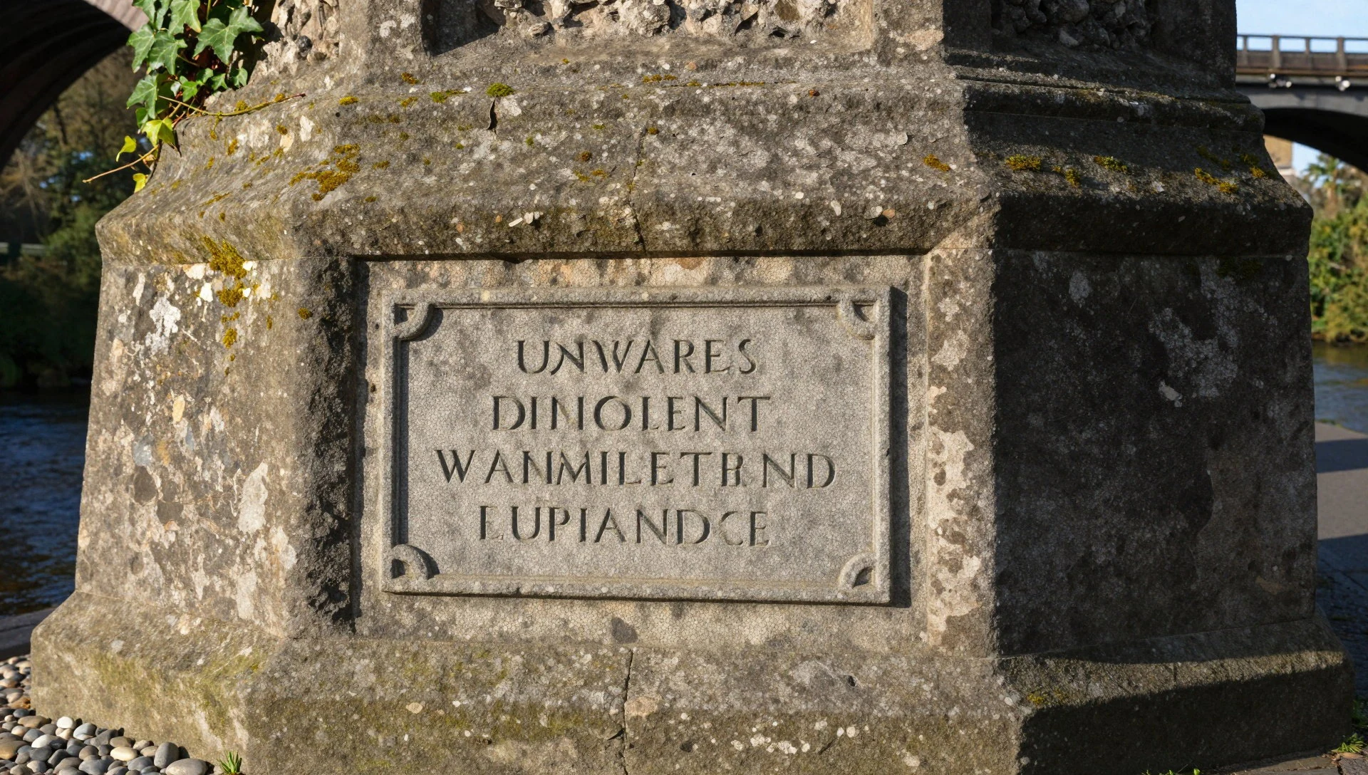
- Narrowboats crossing on the Llangollen Canal
Pontcysyllte Aqueduct is navigable, so narrowboats crossing are part of the experience, not an optional extra. If a boat comes through while you’re on the towpath, watch the rhythm of water movement against the iron trough.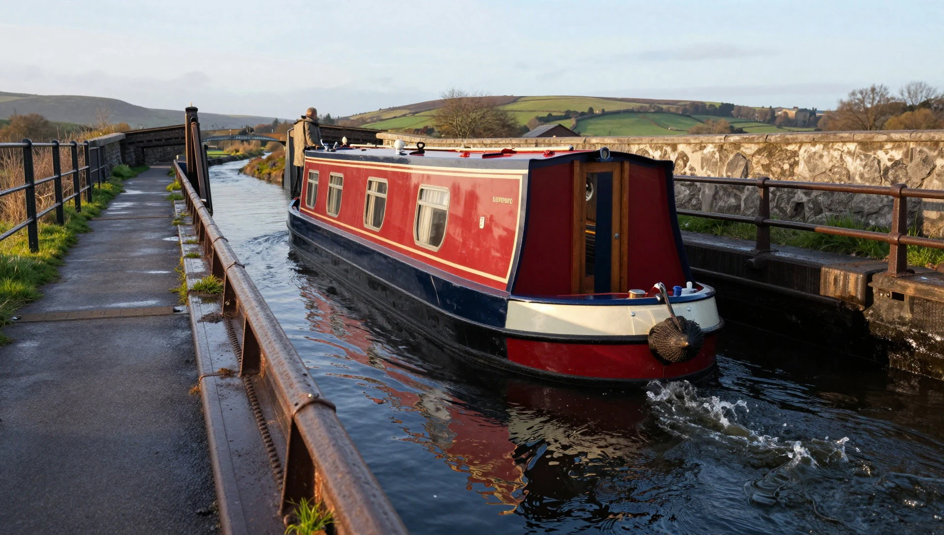
- Aerial perspectives over the Dee
Pontcysyllte Aqueduct is especially striking when seen from above: the Dee runs below, the valley spreads out, and the canal line stitches it all together. Aerial angles underline how the arches carry the trough across the widest drop.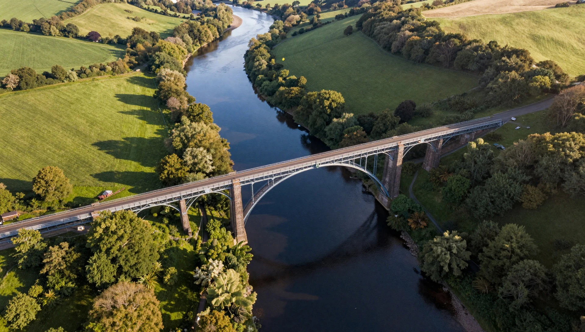
Culture
Pontcysyllte Aqueduct is on a navigable stretch of canal, so it shares a little of the canal-world etiquette: keep to the towpath edge, be predictable with your walking, and give moving boats and their crews space. Crowds can build around photo spots, particularly when boats are passing, so the easiest way to enjoy the place is to pick a quieter viewpoint and settle in for a while rather than constantly shifting position.
This is also an engineering site with heritage status, so avoid climbing on railings or touching structural elements just for a closer shot. Weather can change quickly in north Wales, and the combination of height, damp stone, and canal spray means a careful footing matters.
If someone is waiting for a clear crossing moment, do the polite thing: don’t surge across view lines, and keep bags and tripod legs contained. Most visitors come for the scale, but the real charm is the calm routine of the canal working above the river valley.
Please keep clear of the canal edge and railings, and move quietly along the towpath for passing narrowboats.
What to wear
Pontcysyllte Aqueduct doesn’t have a “dress code”, but it sits outdoors at canal level, where wind and rain can reach you quickly—especially on open stretches above the valley. For traditional dress, there isn’t a single uniform tied to this site, since Wales doesn’t treat this attraction like a living-ceremony setting.
What visitors actually wear now is mostly practical: waterproof jackets or layers, trousers that cope with wet stone, and trainers or walking shoes with grip. On busier days, it’s common to see people in lightweight rain shells and hats, because the towpath can feel exposed.
For a comfortable visit, wear layers (thin top + warm mid-layer), choose shoes with good traction, and bring a waterproof layer even in shoulder-season months. If visiting in cooler periods like autumn or late spring, a beanie or hood helps when the wind comes off the valley.
Avoid anything that restricts movement near railings, and keep scarves and long straps secured so they don’t snag in breezes.
What to eat
- Canal-side picnic in the Vale of Llangollen — Around Pontcysyllte in the Vale of Llangollen
A straightforward option near Pontcysyllte Aqueduct is a picnic: buy snacks and something warm from nearby village shops, then eat at a sheltered pull-off area away from the busiest towpath views.
- Local bakery pasties and savoury bakes — Local bakeries in the surrounding villages
Wales is strong on bakery stops—grab a savoury pasty or a boxed bake and pair it with a hot drink before heading out for the walk. It’s convenient for roadside stops when the weather turns.
- Pub lunches in nearby towns and villages — Pubs in the Vale of Llangollen area
A classic plan after time on the aqueduct is a pub lunch: simple, filling plates that work well after walking. Look for seasonal menus and straightforward options rather than elaborate tasting-style meals. - Takeaway fish and chips — Town centres reachable from Pontcysyllte
If you want something low-effort after a day of views, fish and chips are an easy bet. Order takeaway, then keep it casual—ideal for an early evening when there’s still daylight but you don’t want a long sit-down. - Afternoon tea with Welsh cakes — Cafés and tea rooms in nearby towns
For a softer landing back from the height, look for afternoon tea or a café stop with Welsh cakes. They’re a cosy match for cool Welsh weather and work well as a snack after exploring.
Plan it
Best time. May–August for the warmest, longest days; October for the most comfortable mix of mild highs and lower lows; and April for a pleasant spring balance of cool evenings and decent daylight. The wettest months are January, October, November and December (all about 91 mm of rain on average). January and December are the coldest months, while July and August are the warmest.
How long. 2–3
Getting there. By road, the A55 links into north Wales from Chester to Bangor; from the south, access is via the A5 to Chirk. If travelling by bus, Arriva Wales runs services from Chester to Mold. For rail, use the broader north Wales connections to reach the region, then finish the last leg by road to the Pontcysyllte area.
Budget. mid
Tips
- Go early in the day for easier walking and calmer towpath conditions
- Expect the weather to shift—bring a waterproof layer even outside winter
- If a narrowboat is approaching, pause and watch rather than trying to squeeze through foot traffic
- Keep a steady pace along the towpath; some sections feel crowded when boats pass
- Check the official site before you plan a longer visit to the wider canal area
Etiquette
- Stay clear of the canal edge and railings, especially when the towpath is busy
- Be considerate with photo spots so others can pass and watch the boat crossings
- Avoid touching structural elements for ‘up close’ pictures
Nearby
Sources
- Wikidata Q158822 (CC0)
- Wikipedia (rev 1365739001) — Pontcysyllte Aqueduct (CC BY-SA 4.0)
- Wikivoyage (rev 5414266) — Wrexham (county) (CC BY-SA 4.0)
- Photo photos/01-pontcysyllte-aqueduct-arp.jpg (Public domain)
- Photo photos/02-walesc0047.jpg (CC BY-SA 2.0)
- Photo photos/03-pontcysyllte-aqueduct-plaque.jpg (CC BY-SA 4.0)
- Photo photos/04-longdon-on-tern-aqueduct.jpg (CC BY 3.0)
- Photo photos/05-walesc0171.jpg (CC BY-SA 2.0)
- Photo photos/06-pontcysyllte-aqueduct-in-winter.jpg (CC BY-SA 4.0)
- Photo photos/07-aqueduct-over-the-dee-called-pont-y-cyssyltau.jpg (Public domain)
- Photo photos/08-pontcysyllte-aqueduct-and-cefn-mawr-viaduct.jpg (CC BY 4.0)


