Poloniny National Park
Poloniny National Park, Slovakia
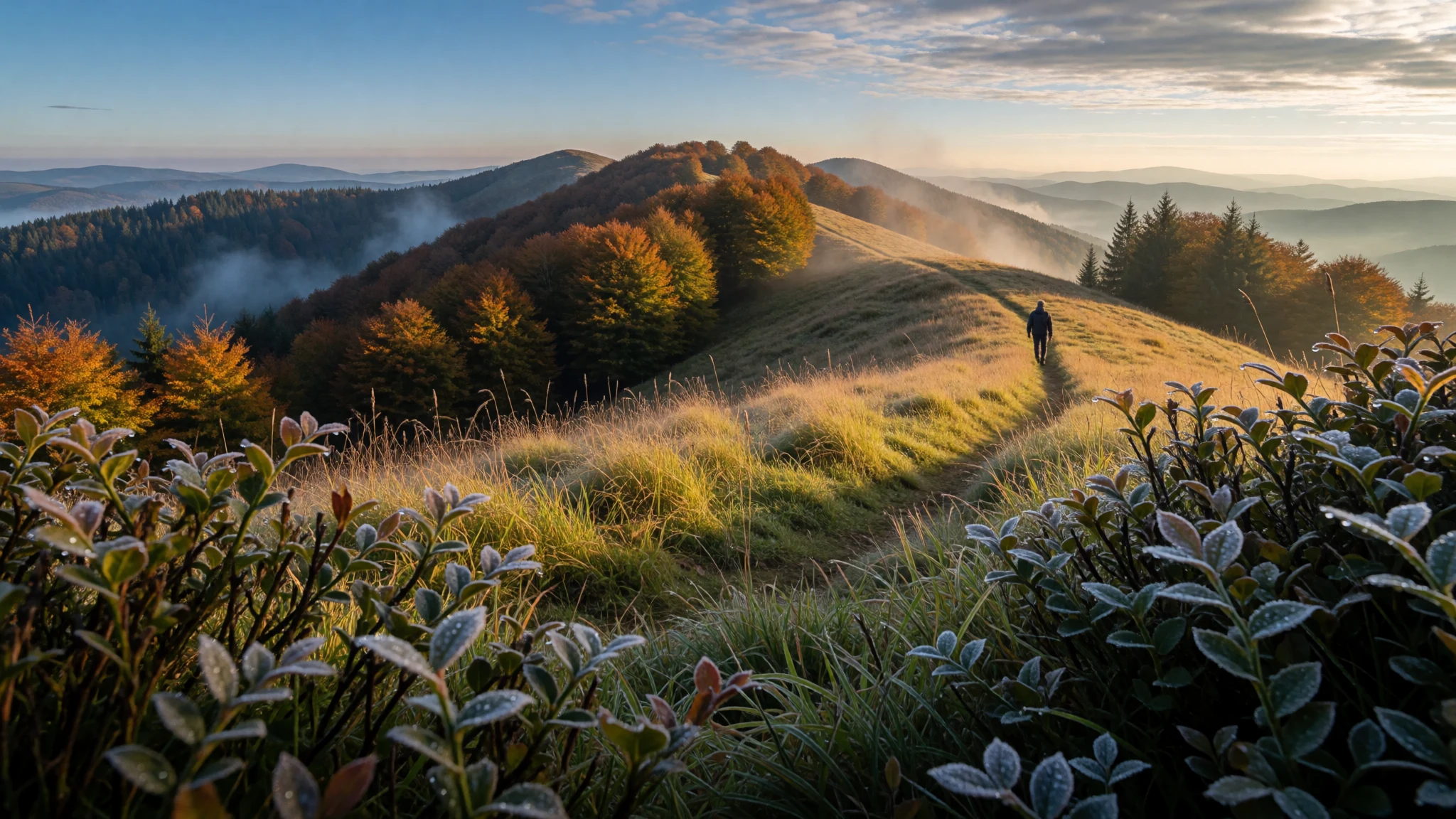
Poloniny is for people who like quiet hikes, borderland landscapes and old wooden churches, all in a protected mountain pocket.
The place
Poloniny National Park (Národný park Poloniny) sits in northeastern Slovakia, straddling the mountain borderlands with Poland and Ukraine. It lies in the Bukovské vrchy range, part of the Eastern Carpathians, and was created in 1997. Even by Slovak standards this is remote country: it is described as the country’s farthest east and sparsest inhabited region, so the atmosphere on trails is often more “farmland-turned-wild” than “tourist highlight.”
The landscape is built for walking—especially from villages that act as trailheads. The well-used starting points include Nová Sedlica, plus Runina, Topoľan and Uličské Krivé. There’s also a big water story here: the Starina dam created a reservoir for drinking water to the east and displaced people from upstream villages; the valley that resulted remains uninhabited and agricultural activity is prohibited.
Poloniny’s nature has a strong conservation angle. Part of the park’s area is included in the UNESCO World Heritage listing “Primeval Beech Forests of the Carpathians”, alongside nearby forests across the region. Along with rugged viewpoints and high meadows, you’ll find pockets of old-growth forest and reserves that are managed to protect habitat.
In practical terms, it’s a place where planning matters: weather can change quickly in the mountains, and the most interesting places are spread out. For visitors who enjoy long walks, simple guesthouse bases, and an active day outside, Poloniny is an easy place to love—just don’t expect crowds or a late-night scene.
Its story
Poloniny National Park’s story is about people, borders, and what happens when a landscape is allowed to recover. Settlement was slow to take off; the area’s first meaningful villages are dated to the fifteenth and sixteenth centuries, and Ulič—dated to 1450—is noted as the oldest village known in the region.
Later, this part of Slovakia carried the marks of hardship. The nineteenth and twentieth centuries brought departures of young people chasing work in towns or leaving for Western Europe and North America. Then came the disruption of the First and Second World Wars, which damaged the region and contributed to the loss of some wooden churches, including those associated with Runina, Jalova, Príslop and Dara.
During the communist period, wooden churches from Zboj and Nová Sedlica were moved into museum collections in Bardejovské Kúpele and Humenné. Even everyday infrastructure arrived late compared with central Europe: electrification, paved access roads to villages, and the first bus services are described as only reaching the area in the late 1950s.
A more recent turning point was the construction of the Starina dam in the 1980s, which displaced people from seven upstream villages. The resulting reservoir shaped today’s route planning and the feel of the park: some valleys are deliberately kept free of farming, and the emptiness is part of the conservation approach. When Poloniny was officially created as a national park on 1 October 1997, it formalised a long-running shift—from inhabited borderlands and fragile buildings, to protected mountain nature and hiking trails connecting the surviving communities.
What to see
- Kremenec summit marker (Slovakia–Poland–Ukraine) — Kremenec / near the international border area
Kremenec is the highest point area in the park, marked by a simple marker stone on the place where three countries meet. The route atmosphere feels exposed and airy, with big views when the clouds clear.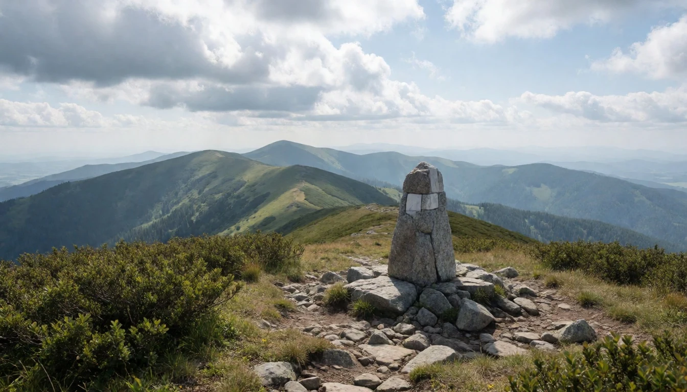
- Ďurkovec high meadows (“Poloniny”) — Ďurkovec mountain and surrounding high meadows
Ďurkovec sits above the tree line feel, with wide high-meadow slopes known locally as the “Poloniny.” It’s the type of place where trails braid together; take a moment to spot the ridgeline shape before committing to the loop.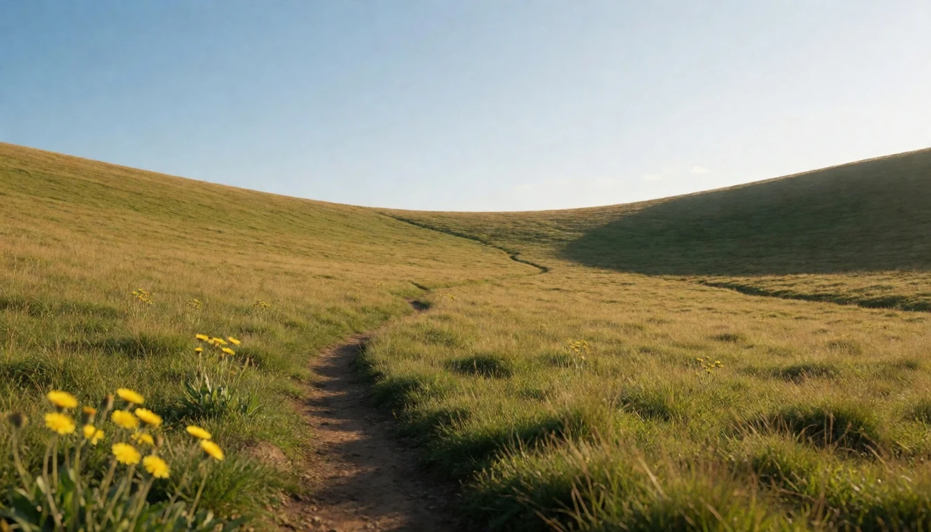
- Stužica forest reserve — Stužica / near the upper Kremenec area
Stužica is a nature reserve inside Poloniny, close to the Kremenec area. It was set up to protect an old-growth beech and fir forest, and that conservation importance connects this spot to the wider Primeval Beech Forests of the Carpathians listing.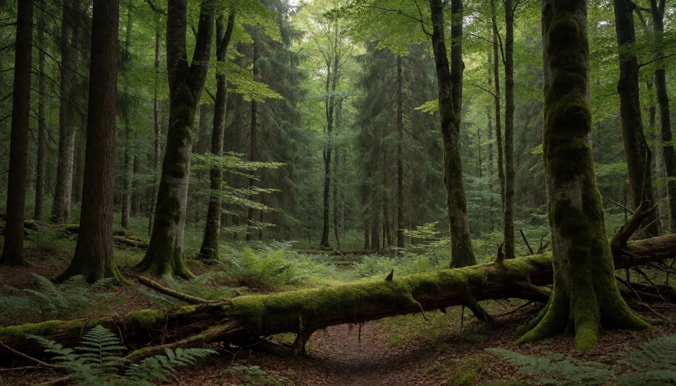
- Havešová primeval forest and Rožok pocket — Havešová and Rožok forest reserve areas
Havešová and Rožok are smaller reserve-like forest areas within the park, with the emphasis on old-growth beech and mixed habitat at different elevations. Only Stužica is open to walkers, while Havešová and Rožok are kept off-limits to visitors to protect them.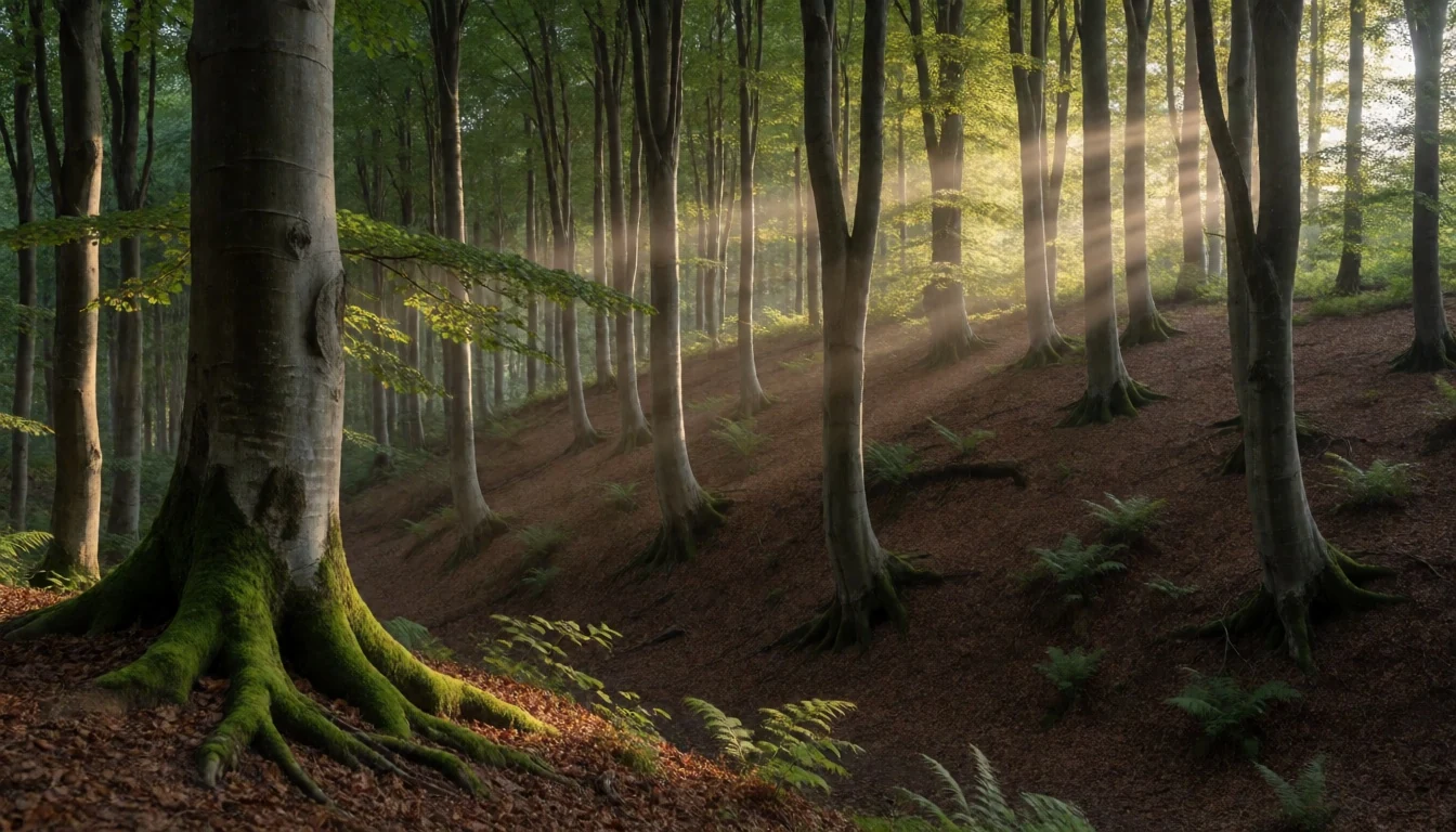
- Dara geologic site — Dara / geology outcrop area
Dara is a geological stop with sedimentary rock outcrops that show a deeper-time story of the region. There are Slovak-language panels on site, so it’s most rewarding for visitors who don’t mind reading slowly rather than just snapping photos.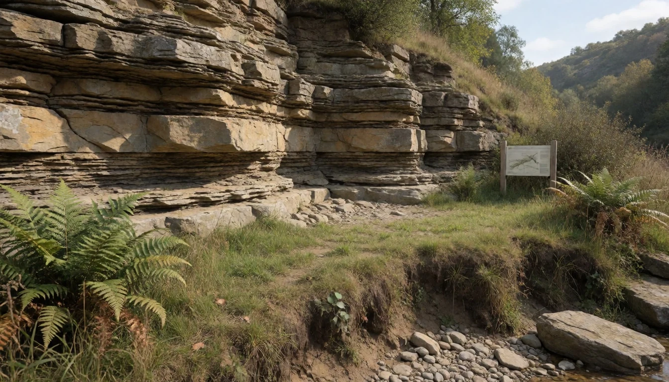
- Wooden churches in border villages (church trail option) — Ruský Potok, Topoľa, and Uličské Krivé villages
Poloniny’s cultural texture shows up through wooden churches in the villages. Ruský Potok, Topoľa and Uličské Krivé each have their own St Michael the Archangel church presence, with different church histories that make each building feel part of a lived timeline, not a single exhibit.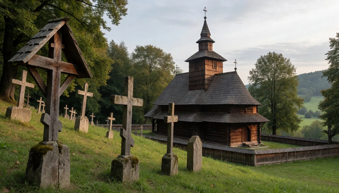
Culture
Poloniny National Park sits next to the Polish and Ukrainian borders, and that geography shows up in everyday caution. In the immediate border areas, expect a more “check and double-check” mood from the authorities: carry your identity documents and be prepared for questions if you’re driving or walking near controlled zones. This isn’t the place to wander like it’s open countryside without paperwork.
The other cultural layer is the region’s older architecture—especially wooden churches connected to local Greek Catholic and Orthodox traditions, and the museums that preserve some pieces that no longer sit in the original villages. The park’s villages are small, so interactions tend to be practical: someone may direct you to a trailhead, point out where the footpath actually crosses wet ground, or confirm which tracks are safe after rain.
Food is often simple and home-cooked where guesthouses have kitchens, and basic supplies can be found in village grocery shops. You’ll get the best feel for the place by arriving with time for a slow morning and a late walk rather than trying to “collect” every viewpoint.
Please keep noise low near villagers and respect fenced-off areas and church property—walk carefully and don’t block entrances or paths.
What to wear
In Poloniny National Park, dressing is mainly about mountain weather and terrain. The park is open year-round, so temperatures can swing quickly between morning and afternoon on ridges. Even in warmer months, evenings can feel cool once you’re higher up, and shoulder seasons can bring mist.
Traditional dress in the region is tied to Eastern Slovak rural culture, where you’ll commonly see folk-style embroidery and practical layers, with textiles used for everyday warmth and formal occasions. On the ground, though, visitors mostly encounter modern clothing: jeans or trekking trousers, fleece layers, light rain jackets and sturdy footwear.
If visiting in March, April, October or November—the months that most suit the park’s climate seasons—pack for damp, wind and sudden cloud cover. Good walking shoes with grip matter more than fashion choices; the trails can be muddy near village edges and grassy higher meadows can be slippery after rain. For church stops, aim for modest, non-distracting clothing: shoulders covered is a good idea, and avoid overly short or beach-style outfits.
For visits by foot, carry a small daypack with water and a dry layer. A cap or light hat helps with sun glare when skies clear, but don’t rely on it staying sunny all day in the mountains.
What to eat
- Village grocery supplies (base provisions) — Village grocery stores around Nová Sedlica, Runina, Topoľan and Uličské Krivé
In Poloniny’s villages, grocery shops can cover basics for hiking days—bread, cheese, cold meats and simple snacks. It’s a practical way to assemble a picnic when you’re between trailhead guesthouses.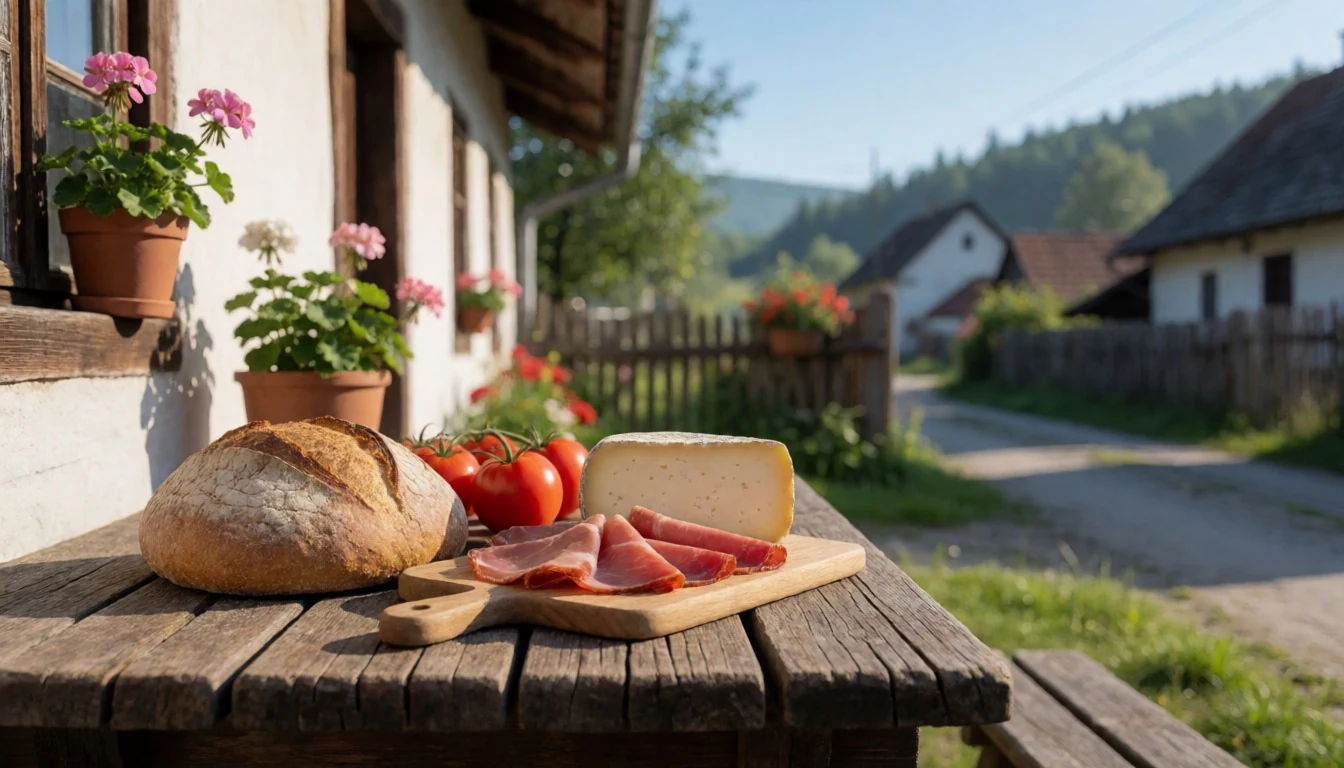
- Meals at Kremenec guest house — Restaurant at Kremenec guest house in Nová Sedlica
The Kremenec guest house (in Nová Sedlica) serves restaurant-style meals, often making it the easiest place to eat after a long hike. It’s a good option when the weather closes in.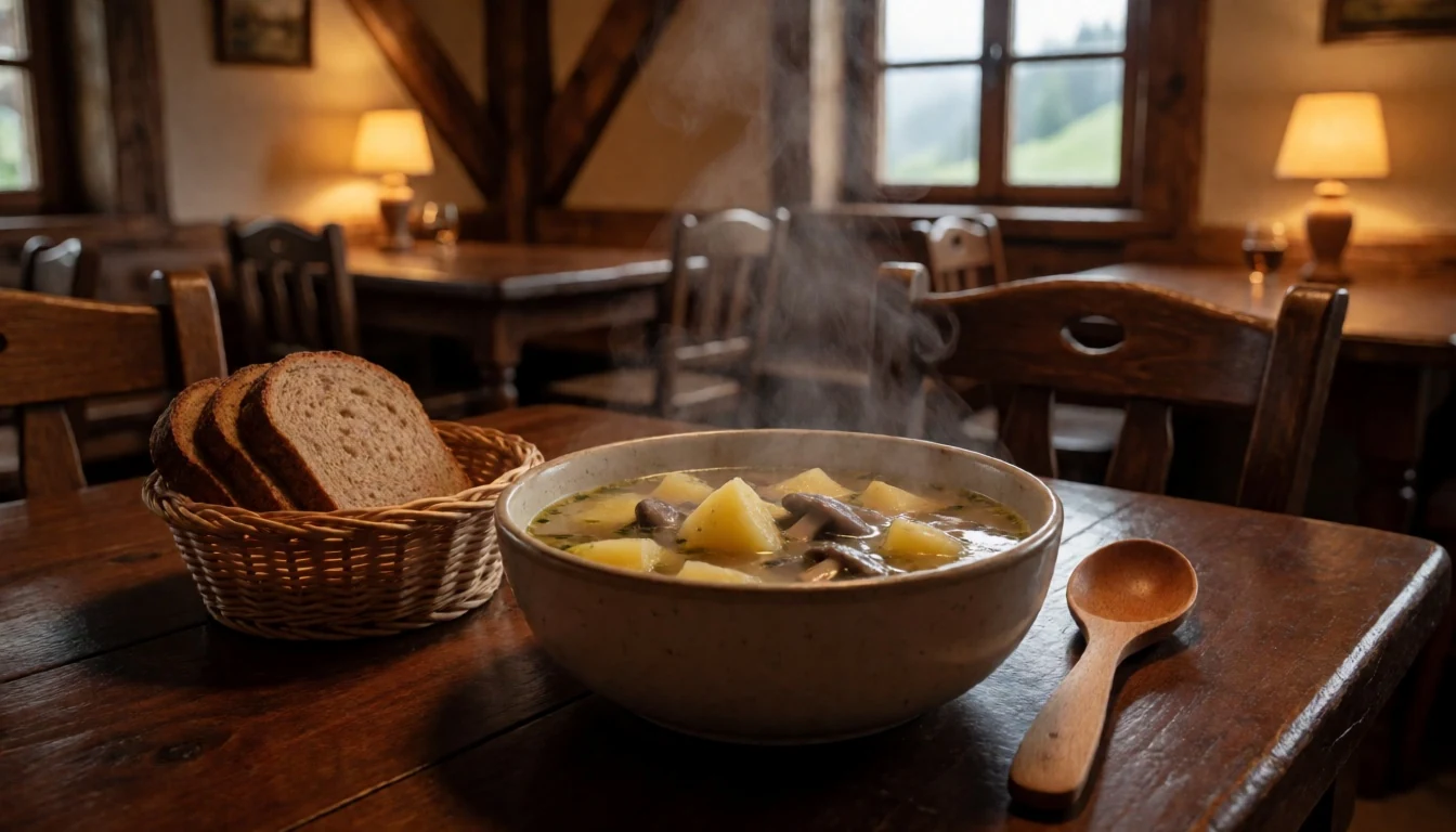
- Meals at Poloniny guest house — Restaurant at Poloniny guest house in Ulič
The Poloniny guest house in Ulič also includes restaurant service, useful when you’d rather not cook after reaching the village late. Expect straightforward mountain-guesthouse food. - Simple kitchen suppers in converted houses — Tourist guesthouses and converted village houses with kitchens
Many lodgings are old houses converted to tourist accommodation, often with kitchens and utensils. That makes it easy to reheat leftovers or cook something basic when you’re staying a couple of nights.
Plan it
Best time. March–April and October–November suit mountain hiking best, with highs of about 17–24 °C; July is the hottest and wettest month (highs near 33 °C, around 107 mm of rain), and winter brings cross-country skiing rather than the usual foot-trails.
How long. 2–3
Getting there. Reach Humenné or Snina first (rail connections serve Stakčín for access near the park entrance), then use the last local link into the park via the main road that enters Poloniny. For buses, services connect Snina to the villages around the park.
Budget. mid
Tips
- Base yourself in or near village trailheads like Nová Sedlica, Runina, Topoľan or Uličské Krivé to reduce driving and backtracking.
- Start earlier on trail days—fog and cloud can roll in, and backcountry walks feel longer when you’re moving late in the day.
- Bring documents and keep them handy when travelling close to the Ukrainian border areas.
- Carry cash as a backup for small village shops and guesthouse purchases, even if some places can handle cards.
- If you plan to camp, treat food storage as non-negotiable because bears are present in the park.
Etiquette
- Keep to marked paths and avoid trampling wet ground where trails braid or disappear.
- Do not follow wildlife tracks; if you meet a bear, give it space and move away without running.
- When visiting wooden churches, dress modestly and be quiet inside so others can attend in peace.
Nearby
Sources
- Wikidata Q607612 (CC0)
- Wikipedia (rev 1362895249) (CC BY-SA 4.0)
- Wikivoyage (rev 5414611) (CC BY-SA 4.0)
- Photo photos/01-urkovec-poh-ad-z-urkovca-001.jpg (CC BY-SA 4.0)
- Photo photos/02-wisent.jpg (CC BY 3.0)
- Photo photos/03-topola-wooden-church.jpg (Public domain)
- Photo photos/04-stu-ica.jpg (Public domain)
- Photo photos/05-panorama-poloniny.jpg (CC BY 3.0)
- Photo photos/06-starina.jpg (Public domain)
- Photo photos/07-runina-vilage-from-saddle-under-durkovec.jpg (Public domain)
- Photo photos/08-ulicske-krive-wooden-church.jpg (Public domain)


