Podyjí National Park
Podyjí National Park, Czech Republic
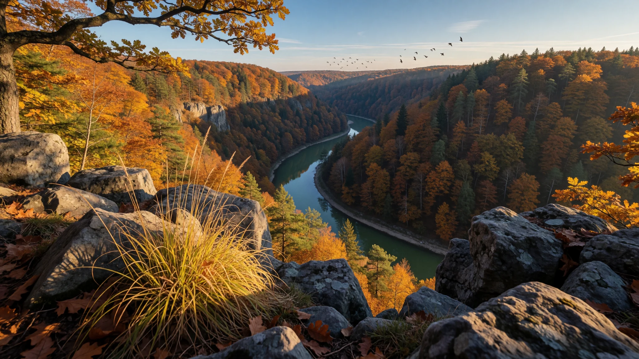
Podyjí National Park keeps a wooded Dyje valley on the Czech–Austrian border, with castle ruins, quiet trails and vines in the bends.
The place
Podyjí National Park — Národní park Podyjí — holds a looping stretch of the Dyje in the South Moravian Region, pressed to the Austrian frontier. Across the water the trees continue as Thayatal National Park. The Czech side took its national-park title in 1991, and it is one of four such parks in the country. The spot recorded for the park sits at 207 metres. The river is the whole argument for the place. Inside the boundary it runs for 40 kilometres, dropping through a valley as deep as 220 metres, cut into the Českomoravská vrchovina uplands. Broadleaf woods cover most of the slopes. Between them lie rock, scrub, damp hollows, pasture and bits of ploughed land, so the map is a mosaic rather than a single block of trees. Conservation and research share that mosaic with forestry and farming. Vines remain, above all at Šobes, where a meander leaves a tongue of vineyard almost ringed by water. Paths join the river to older buildings: the ruined Nový Hrádek, Hardegg Castle on the Austrian bank, and the chateau at Vranov nad Dyjí. None of these is a city sight with a queue culture. Foreign travellers are fewer than in Prague, and in the villages English is a bonus rather than a given, though the welcome is often straightforward once a conversation starts. For closures, maps and the rules of the protected area, the park's site is https://www.nppodyji.cz.
Its story
Podyjí National Park received its title in 1991, but the Dyje was shaping this border long before any park was declared. The water leaves Czech territory and takes the name Thaya; the Austrian bank is already another protected area, Thayatal. Treating the two sides as one landscape — sometimes under the label Inter-National park — was a recognition that a frontier line cannot hold a forest apart. Work never stopped when the trees were protected. South Moravian farming, forestry and vineyards were already on these slopes, and the designation did not evict them. It changed the order of claims: looking after the habitat, and studying it, now stand with the older jobs instead of after them. That is why a walk here passes managed trees, a meadow and a vineyard in the same hour, then drops back into shade. A descent of up to 220 metres, and 40 kilometres of river inside the park, give the valley its enclosed, wooded character. Accounts of Podyjí National Park linger on how intact that woodland remains in the middle of Europe. Nový Hrádek is the ruin in the trees, Hardegg the castle on the Austrian bank, and Vranov nad Dyjí the formal chateau at the water's edge, each of them a landmark the trails reach rather than the reason the park was drawn. Wine is the other thread in South Moravia, already familiar to Czechs and easy for foreign travellers to miss, which is one reason Podyjí National Park can still feel unhurried.
What to see
- Dyje valley — the Dyje valley, core of the park
The Dyje valley is the walk that defines Podyjí National Park. Water bends between wooded walls, tight as a canyon in some stretches and open onto rock and grass in others. Marked paths follow the bank and the rim through forest that is still managed. Which stretches are open is posted on the park's own site.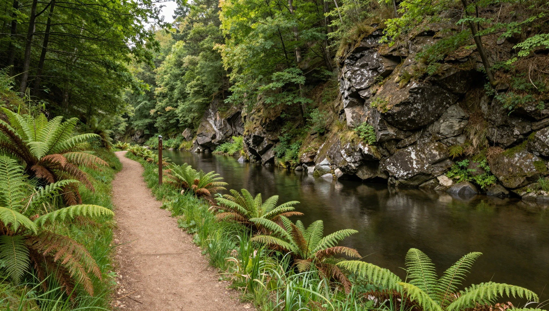
- Nový Hrádek — woodland trails towards Lukov
Nový Hrádek is a ruined castle in the woods of Podyjí National Park, often walked in company with Lukov. The approach matters more than any single wall: a path under trees, then stone, then a look back across the Dyje country. It behaves like a trail landmark rather than a staffed monument. After rain the tracks can be slick, so the park site is the place to confirm the route.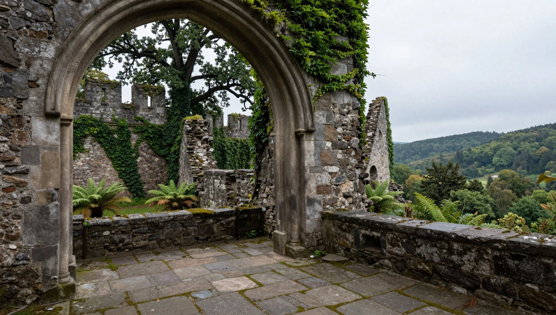
- Hardegg Castle — Austrian bank of the Dyje
Hardegg Castle stands in the Austrian town of Hardegg, across the Dyje from the woodland of Podyjí National Park. The river in front of the town is the same water the Czech trails follow. Seen from this bank, the pairing with Thayatal is obvious: one valley under two park authorities. Any crossing of the border still calls for an identity document and a check of the day's rules.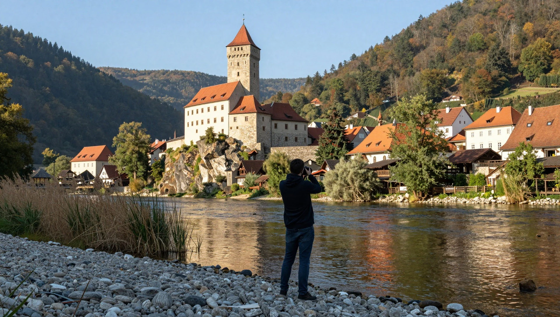
- Vranov nad Dyjí Chateau — Vranov nad Dyjí, at the park edge
Vranov nad Dyjí Chateau stands above the river at the edge of Podyjí National Park, a formal house rather than a ruin lost in the trees. Façades, a town below and the valley in view make it the composed stop on a route that is otherwise all path and water. Rooms and gardens follow a seasonal calendar. Check the chateau's own notice for opening days.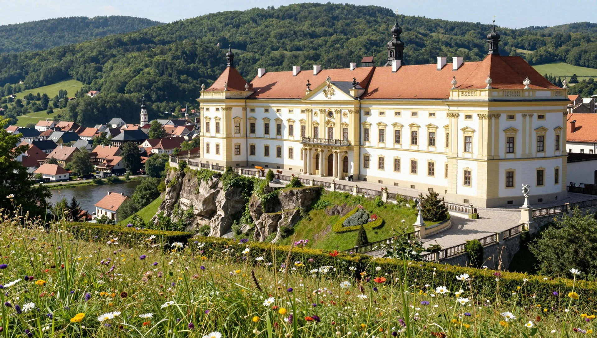
- Šobes — a meander of the Dyje inside the park
Šobes is a vineyard on a tongue of land almost encircled by the Dyje, inside Podyjí National Park. The rows break the forest in a wide bend, which is why photographs of the park often land here. Tasting belongs to the South Moravian habit of cellars and small growers. The park's rules do not stop at the vines. Harvest weeks draw more people than a quiet afternoon in late spring.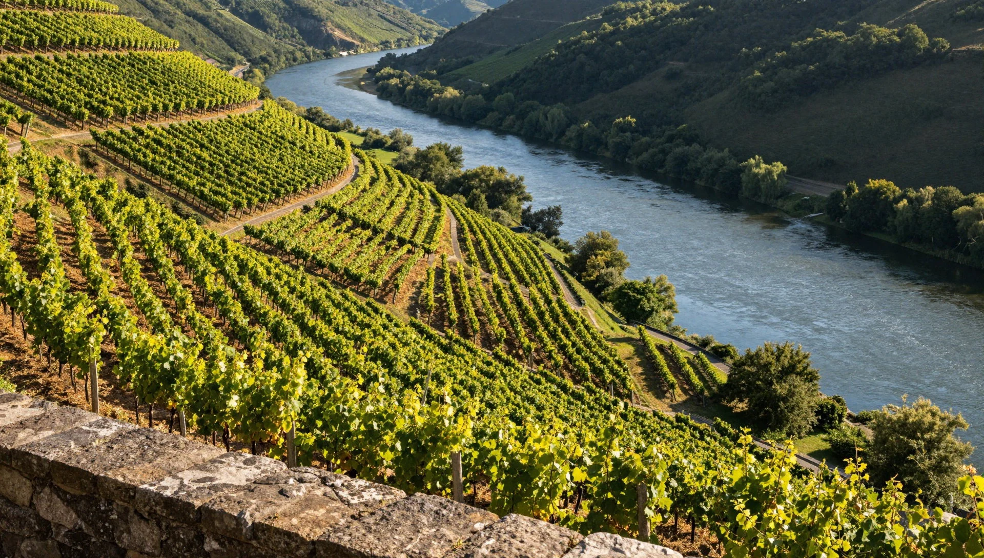
Culture
Podyjí National Park sits in a part of South Moravia where wine, village custom and a protected forest share the same week. The calendar that matters locally is less a museum programme than the year of the vines: pruning, growth, harvest, and the feasts that follow a good cellar. Folk dress comes out for those days — the embroidered kroj of southern Moravia — and stays in the wardrobe otherwise. Across the river, Austrian Hardegg keeps its own calendar, so a single walk can pass a Czech trail sign and an Austrian castle gate. Czech is the language of the villages. English and German appear, but more thinly than in Prague, and a visitor who can manage a greeting, a thank-you and an order will find the hospitality the region is known for easier to reach. The park itself is a place of research and care as well as of trails. Foresters and growers are at work on ordinary weekdays. On the paths of Podyjí National Park, stay on the waymarked routes and leave flowers, fungi and stones where they lie.
What to wear
Podyjí National Park does not have a costume of its own, but South Moravian kroj is the traditional dress of the country around it. Women's festive clothes centre on a white blouse heavy with embroidery, a fitted bodice, a full skirt, an apron, and ribbons or a floral wreath in the hair. Men's sets pair an embroidered shirt and a short waistcoat with dark trousers and tall boots. The textiles are linen and cotton for the shirts, wool for outer layers, and silk or cotton thread for the stitching, usually in strong reds and floral patterns. Day to day, people in and around the park dress as other Central Europeans do: jeans, practical jackets, trainers in town, boots if they are actually walking. A visitor should dress for a river valley with shade, mud and exposed vineyard slopes. Sturdy shoes with a grip matter more than style; the paths are rooty and can be wet. Layers beat one thick coat, because the rim can be breezy while the valley floor is still. Long trousers are the sensible choice in undergrowth. At Vranov nad Dyjí, ordinary neat clothes are enough if doors are open; there is no shrine dress code. The embroidered kroj belongs to the people whose feast day it is.
What to eat
- Znojmo gherkins — grocers and market stalls in Znojmo
Znojmo gherkins are the pickled cucumbers South Moravia makes in and around Znojmo, the town just beyond Podyjí National Park. They are sharp and salty, eaten with bread or beside pork and cabbage rather than as a meal alone. Grocers and market stalls in Znojmo stack them in jars.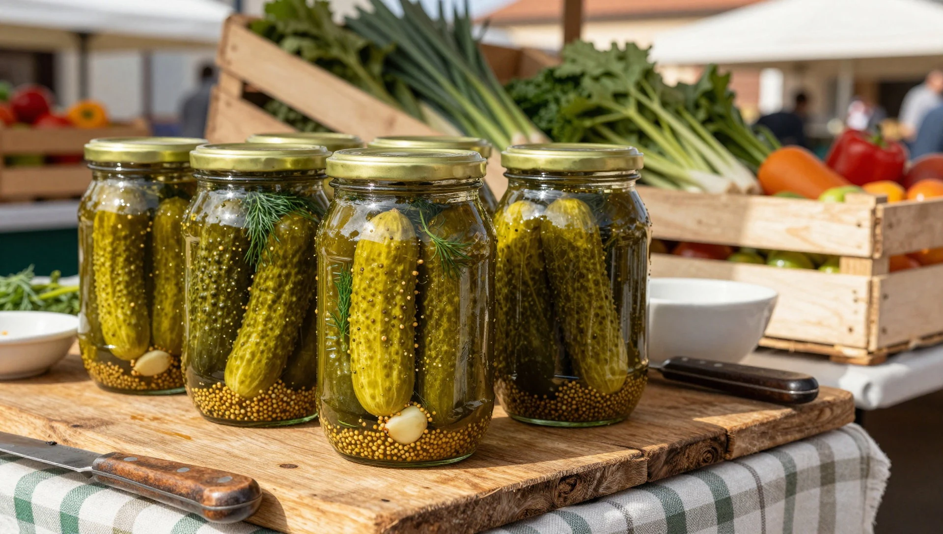
- Pork with cabbage — village eateries around Znojmo and the park gateways
Pork with cabbage is a plain South Moravian plate, and around Podyjí National Park it is what village eateries serve without ceremony. The meat is hot, the cabbage soft and slightly sour, and the point is a solid lunch after a cold start on the trail.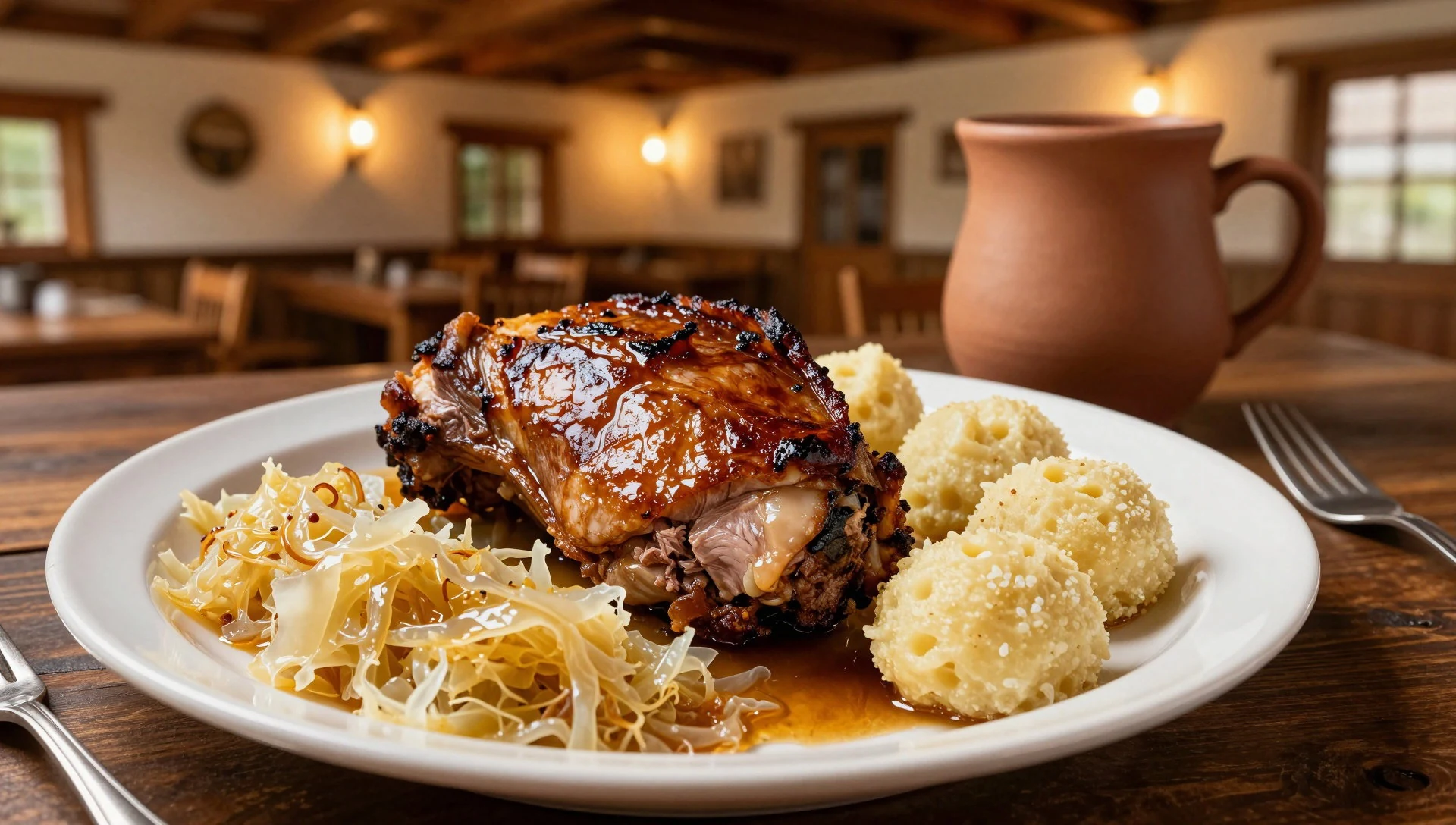
- Plum jam pie — bakeries in Znojmo and the gateway towns
Plum jam pie is the sweet that South Moravia bakes into a simple pastry, and it turns up in bakeries serving the towns around Podyjí National Park. Plums are a local fruit here, so the filling tastes like the season rather than like a jar from far away. - Sweet cottage cheese — bakeries and farm shops around Znojmo
Sweet cottage cheese, tvaroh in Czech, fills pies and pastries across South Moravia, including the bakeries that feed a day out from Podyjí National Park. It is mild, a little tangy, and baked into the dough rather than spooned out as a plated cream. - South Moravian wine — wine cellars around Znojmo and the Šobes vineyard
Wine is what South Moravia expects to be known for, and Podyjí National Park holds vines of its own at Šobes, on a meander of the Dyje. Small cellars pour whites and reds close to the villages, more like a conversation at a counter than a scripted estate tour. - Apricot brandy — bottle shops and wine cellars around Znojmo
Apricot brandy is the strong local drink set beside wine in South Moravia, and it is easy to find in bottle shops and cellars near Podyjí National Park. It is poured as a short glass, not mixed into a long drink.
Plan it
Best time. April, May, September and October suit walking in Podyjí National Park, with spring growth on the forest floor and the grape harvest in early autumn. July and August are hotter on the open vines and busier on the easier viewpoints.
How long. 2–3
Getting there. Podyjí National Park lies in South Moravia on the Austrian border, beside Thayatal. Brno is the regional city named for this part of the country. From Brno the valley is the southwest approach towards Znojmo, not the southeast road towards Hodonín and the other wine villages. Trailheads serve the river paths, Nový Hrádek, Vranov nad Dyjí and the crossing to Hardegg.
Budget. low
Tips
- Check nppodyji.cz the day before for closed paths and river crossings.
- Begin the valley walks in the morning; sunny weekends fill the easier viewpoints.
- Carry some Czech cash, since village shops and small cellars may not take cards.
- A few words of Czech open more doors here than they do in Prague.
- Bring drinking water; the rim paths do not pass shops.
- Take an identity document if the route crosses to Hardegg in Austria.
Etiquette
- Stay on waymarked paths and do not cut across the forest floor.
- Do not pick flowers, including cyclamen, or take stones from the river.
- Ask before photographing people at work in the vineyards or cellars.
- Keep noise down at dusk and dawn, when the valley is quiet.
Nearby
Sources
- Wikidata Q2006345 (CC0)
- Wikipedia (rev 1362894940) (CC BY-SA 4.0)
- Wikivoyage (rev 5380948) (CC BY-SA 4.0)
- Photo photos/01-thaya-080524-07.jpg (CC BY 3.0)
- Photo photos/02-n-rodn-park-podyj-dyje-nationalpark-thayatal-2013-10-a.jpg (CC BY-SA 3.0 at)
- Photo photos/03-podyjibramborik.jpg (Public domain)
- Photo photos/04-obes.jpg (CC BY-SA 2.5)
- Photo photos/05-7-7-16-4-to-novy-hradek-and-lukov-32-27900207900.jpg (CC BY 2.5)
- Photo photos/06-dyje2.jpg (Public domain)
- Photo photos/07-guentherz-2010-04-07-0051-narodny-park-podyji-tafel.jpg (CC BY 3.0)
- Photo photos/08-hardegg-dyje-rakousko.jpg (CC BY 3.0)


