Pieljekaise National Park
Pieljekaise National Park, Sweden
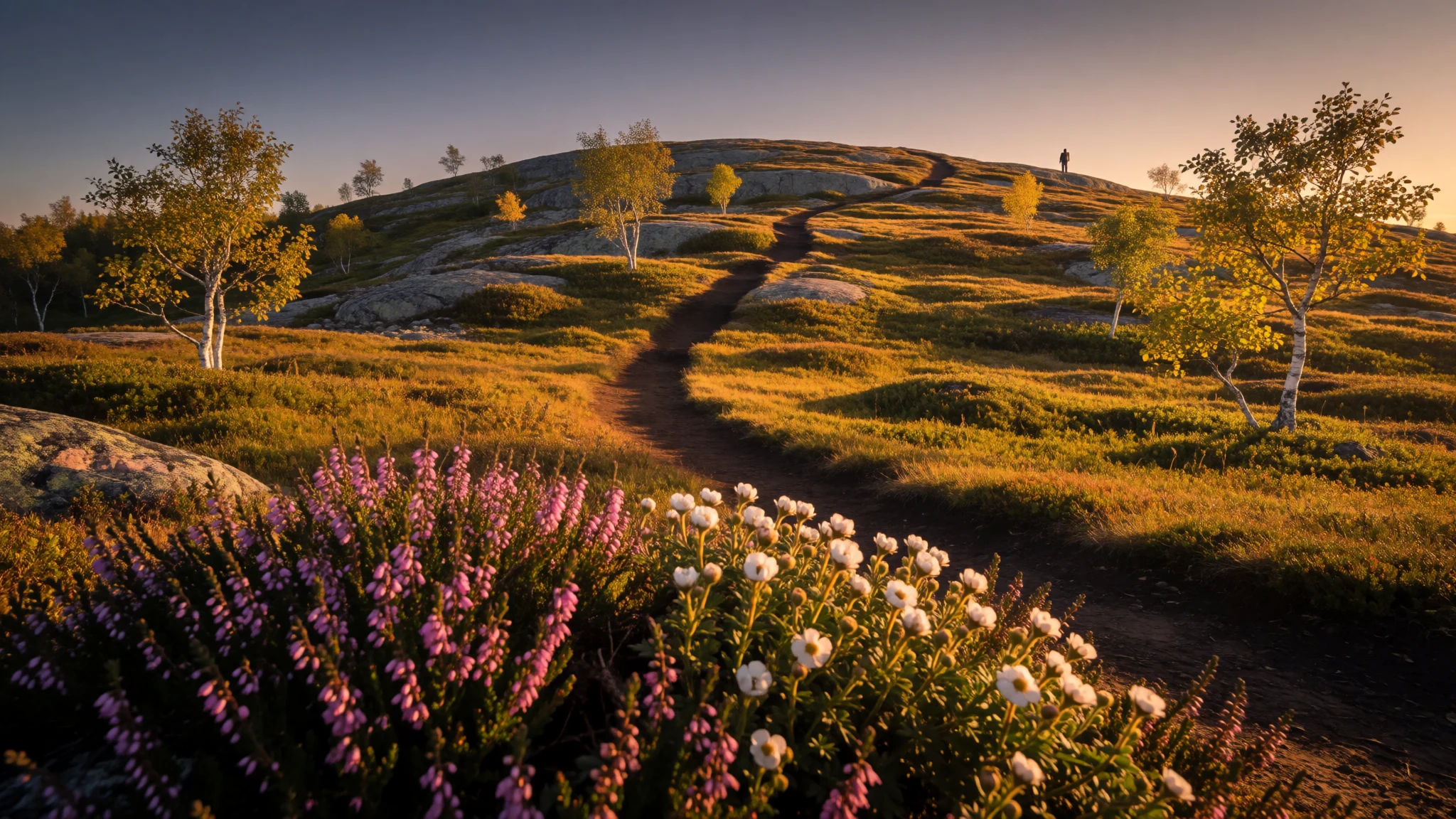
A gentle, birch-clad stretch of Swedish Lapland where the Kungsleden trail, moose and wide fell views come without a hard climb.
The place
Pieljekaise National Park sits in Arjeplog Municipality in Swedish Lapland, about 10 km south of the village of Jäkkvik. The protected area is roughly 153 km², and most of it is mountain birch woodland rather than bare rock. That makes it a gentle introduction to the Swedish fells. The ground rolls through shallow valleys, low ridges and open plateaus, all shaped by ice long ago and scattered with small lakes and wet hollows. Beneath the birches grow dwarf shrubs, mosses and lichens. The park acts as a belt between the forested lowlands and the high alpine country further on, so a walker passes from trees to open fell without a dramatic climb. Moose are the animal most visitors hope for. Willow grouse are common, wolverines or bears are possible but seldom seen, and bird life peaks in summer. The Kungsleden trail crosses the park and carries on into the neighbouring Vindelfjällen Nature Reserve, so many people meet Pieljekaise as one stretch of a longer walk. Summers are brief and mild to cool, winters are long and hard, and snow often lies on the high ground into late spring, which decides when the walking season opens. There are no restaurants or shops inside the boundary, and the nearest beds are at Jäkkvik. Weather turns quickly here, so even a short day out is planned like a mountain day, with spare layers and a map.
Its story
Pieljekaise National Park was one of nine Swedish national parks created together in 1909. The aim was protective and practical: keep a large stretch of mountain birch forest intact, along with the shift from woodland to open fell that gives the area its character. Drawing such a boundary so early shows how far Swedish conservation thinking reached into Lapland, though the land was never empty. The park's name comes from the Sami language, and Sami families have long herded reindeer, fished and moved across the Arjeplog fells. What the ice left behind explains the look of the place. Glaciers rounded the hills, scooped out hollows that became lakes, and left wet ground in between, so a walker crosses a patchwork of birch, bog and open rock rather than one dramatic summit. In more recent times the Kungsleden has made the park a waypoint for long-distance hikers, tying it to the Vindelfjällen reserve to the south. Upkeep has been steady rather than lavish. In 2015 the park received a grant of national funding to renovate its facilities, a reminder that remote paths and shelters need regular repair after harsh winters. The protection has now held for more than a century, which is why the birch woods look as they do. The reserve values quiet over spectacle, and that suits the landscape.
What to see
- Kungsleden junction above Jäkkvik — Above Jäkkvik
The Kungsleden path climbs out of the birch above Jäkkvik and reaches a junction where walkers choose their direction. It is the park's main thoroughfare and the easiest place to read the landscape: trees thinning behind, open fell ahead, and a view east over rolling ground. Follow the markers, but still carry a map.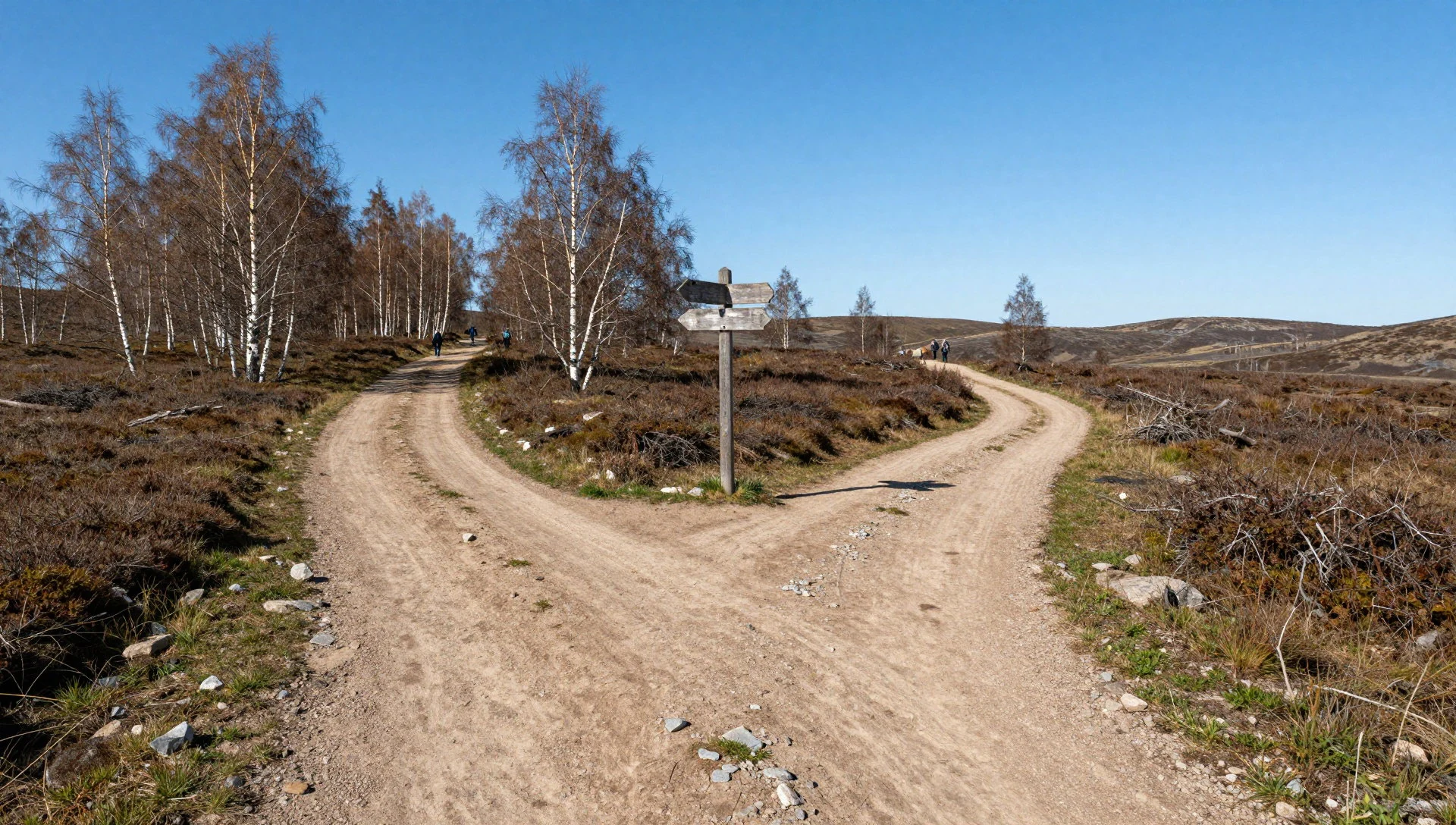
- Open plateaus to the north — Northern plateaus
Once the birches thin, the ground opens into broad, low plateaus with views over valleys and far fells. The light is wide and soft, and photographers do best in the early morning or late evening in summer. Expect wind, and add layers before the exposed stretch rather than in the middle of it.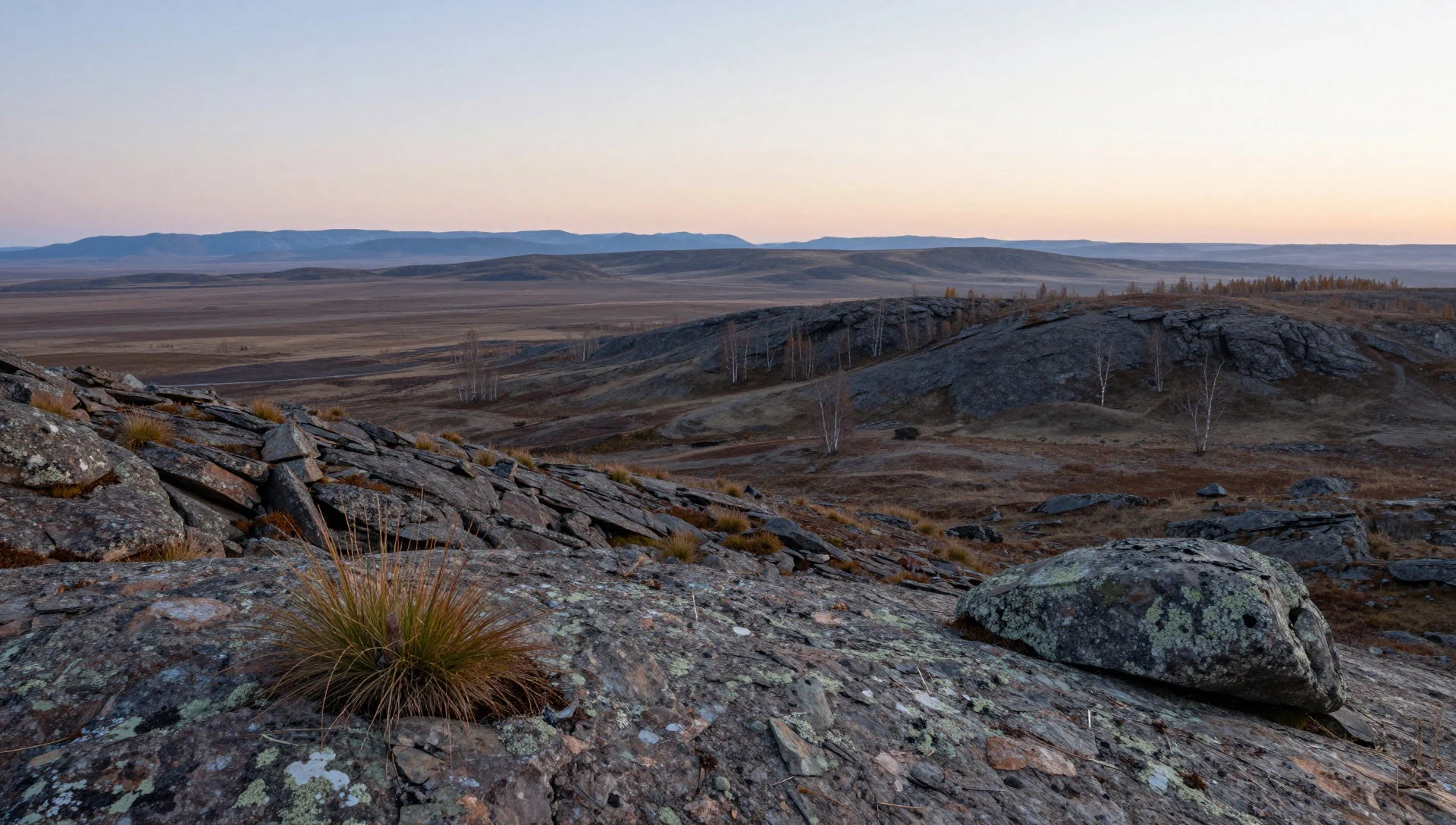
- Moose and birdlife — Birch woods and summit slopes
Moose browse among the birch and willow, and a patient walker may spot one from higher ground, as a photographer did from the summit. Willow grouse and summer songbirds are easier to find. Keep a respectful distance, use binoculars, and treat wolverines and bears as rare possibilities rather than expectations.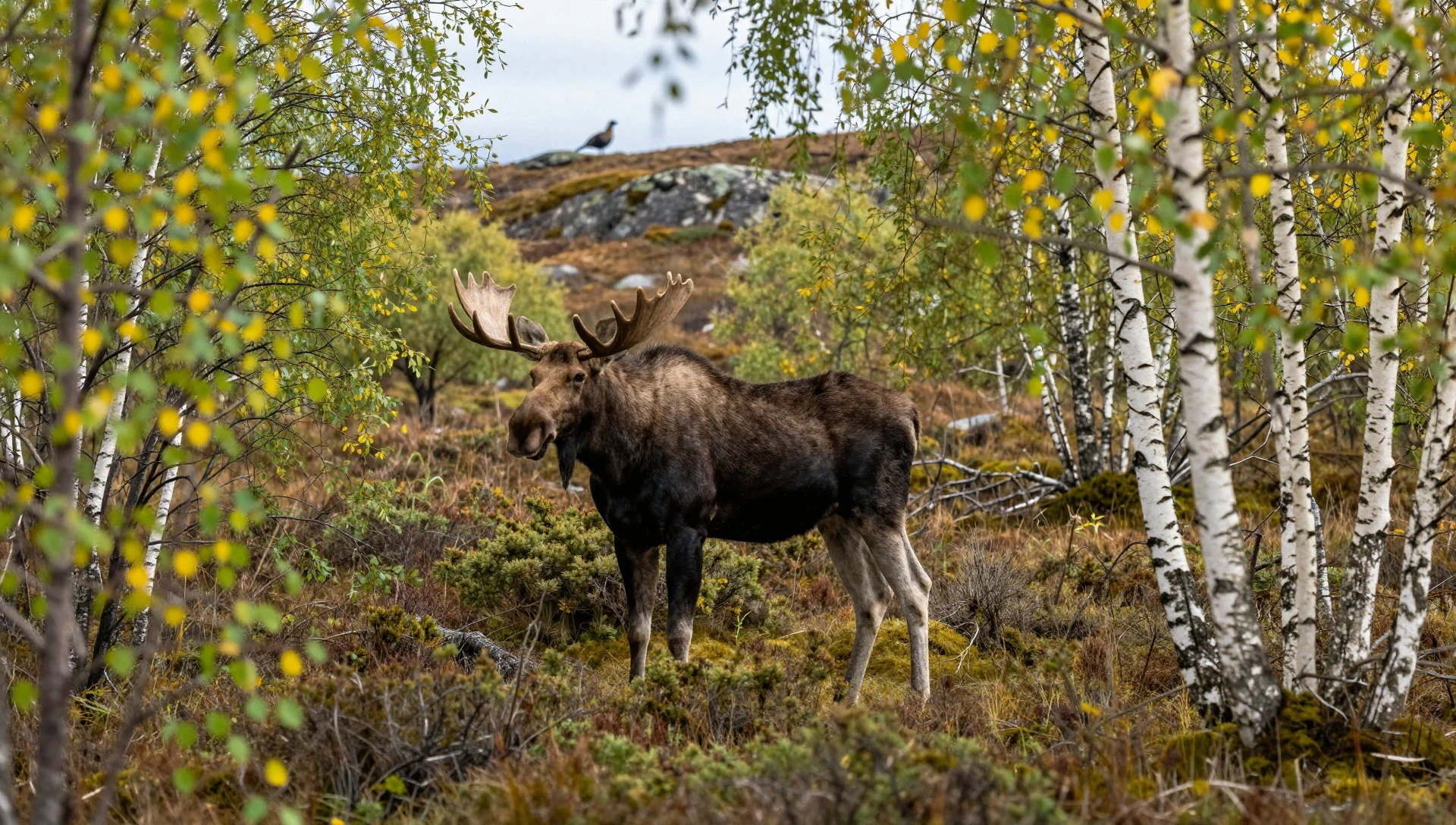
- Westward view from the trail — Kungsleden, west of the junction
Looking west from the trail above Jäkkvik, the birch woodland gives way to bare fell, a handy picture of the park's role as a transition zone. It is a good spot for a long rest and a hot drink, with enough room to watch clouds move across the valleys.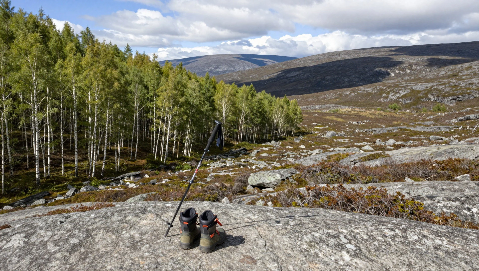
- Summit view south to Gautosjön — Pieljekaise summit
From the top of the Pieljekaise fell, the view south runs towards Viejenäs, with the lake Gautosjön in the foreground and the Kráhpie ridge behind it. It rewards a clear day. Low cloud can erase it completely, so keep the plan flexible and start early if the forecast looks settled.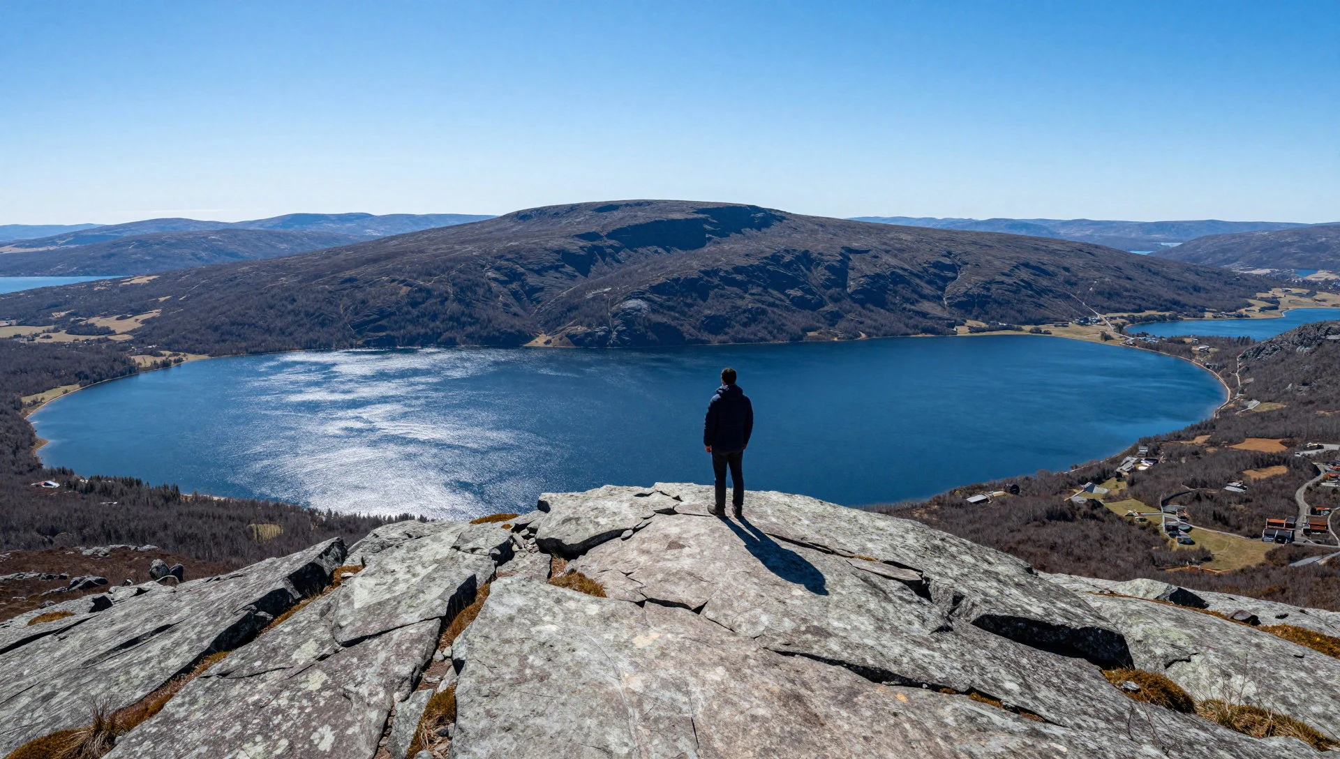
Culture
Pieljekaise National Park lies in country with deep Sami roots, and its name comes from the Sami language. Reindeer herding, fishing and seasonal travel across these fells long predate the park, and herding still shapes how parts of the region are used. A visitor is a guest in a working landscape as well as a protected one. Walking culture is strong too. The Kungsleden is a long-distance route that draws Swedes and international hikers, and the habits of the trail are simple: greet people you pass, share news of conditions, and look after the shelters and paths for the next person. Sweden's tradition of public access lets people walk, camp for a night or two and pick wild berries on most open land, but it comes with responsibility rather than licence. Inside a national park, extra rules apply, such as sticking to established camp sites where possible and following the park's own notices. Self-reliance is expected: there is no cafe or shop on the fell, so people carry what they need and take everything away. Evenings tend to be quiet, with a stove, a mug of coffee and a look at the weather. Take all your rubbish home, keep well away from any reindeer you meet, and follow the park's camping rules rather than improvising a site.
What to wear
Around Pieljekaise National Park, the traditional dress is the Sami gákti, a tunic usually made from wool cloth or felt, often in strong blue or red with bands of contrasting colour at the collar, cuffs and hem. Patterns and colours can point to a family or a home district, and the gákti is worn for festivals, weddings, church occasions and national celebrations, with belts, silver jewellery and reindeer-hide boots added for formal days. Wool suits the climate, since it stays warm when damp. Everyday clothing now is practical and modern: waterproof jackets, fleeces, sturdy boots and caps, with Sami dress kept for occasions rather than daily wear. Visitors should dress for a subarctic mountain, even in summer. Wear a base layer that dries quickly, a warm mid-layer of wool or fleece, and a proper waterproof jacket and trousers, because rain and wind arrive fast. Boots should be broken in and have a firm sole for wet ground, bog and loose rock. Pack gloves and a hat, plus a head net or repellent for mosquitoes in warm spells. There is no particular modesty code on the trail, though if you visit a Sami community or craft workshop, ordinary neat clothes are polite. Gaiters help in wet vegetation, and a spare dry pair of socks is worth its weight.
What to eat
- Crispbread and cheese — Supermarkets in towns before the trailhead
Knäckebröd, Sweden's dry rye crispbread, keeps well in a rucksack and pairs with cheese or a tube of paste for a quick fell lunch. Buy supplies before the hike, since the park has no shop of its own.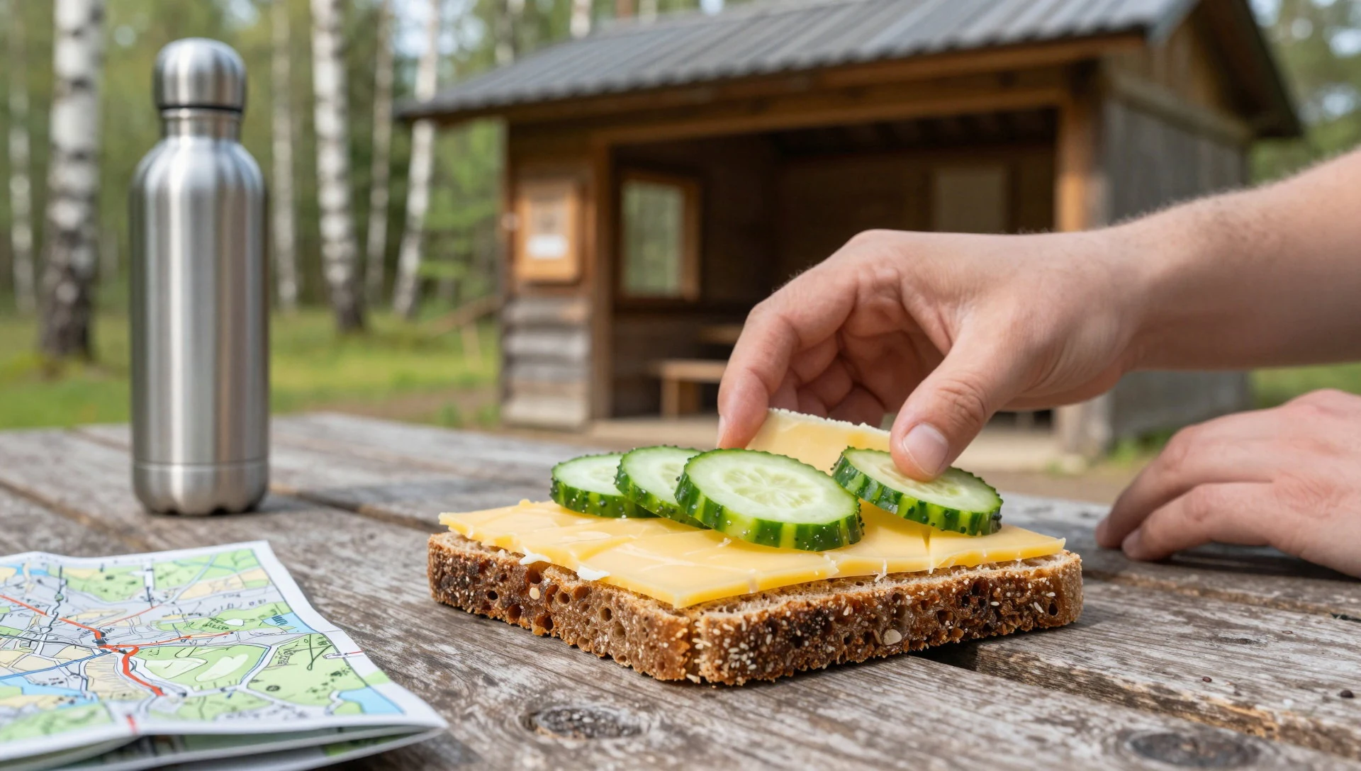
- Gáhkku flatbread — Bakeries and local food shops in Lapland towns
A soft Sami bread, traditionally baked as a thick flatbread and eaten with butter, cheese or jam. It makes a filling breakfast on the trail. Availability varies, so ask at bakeries or local food counters in Lapland.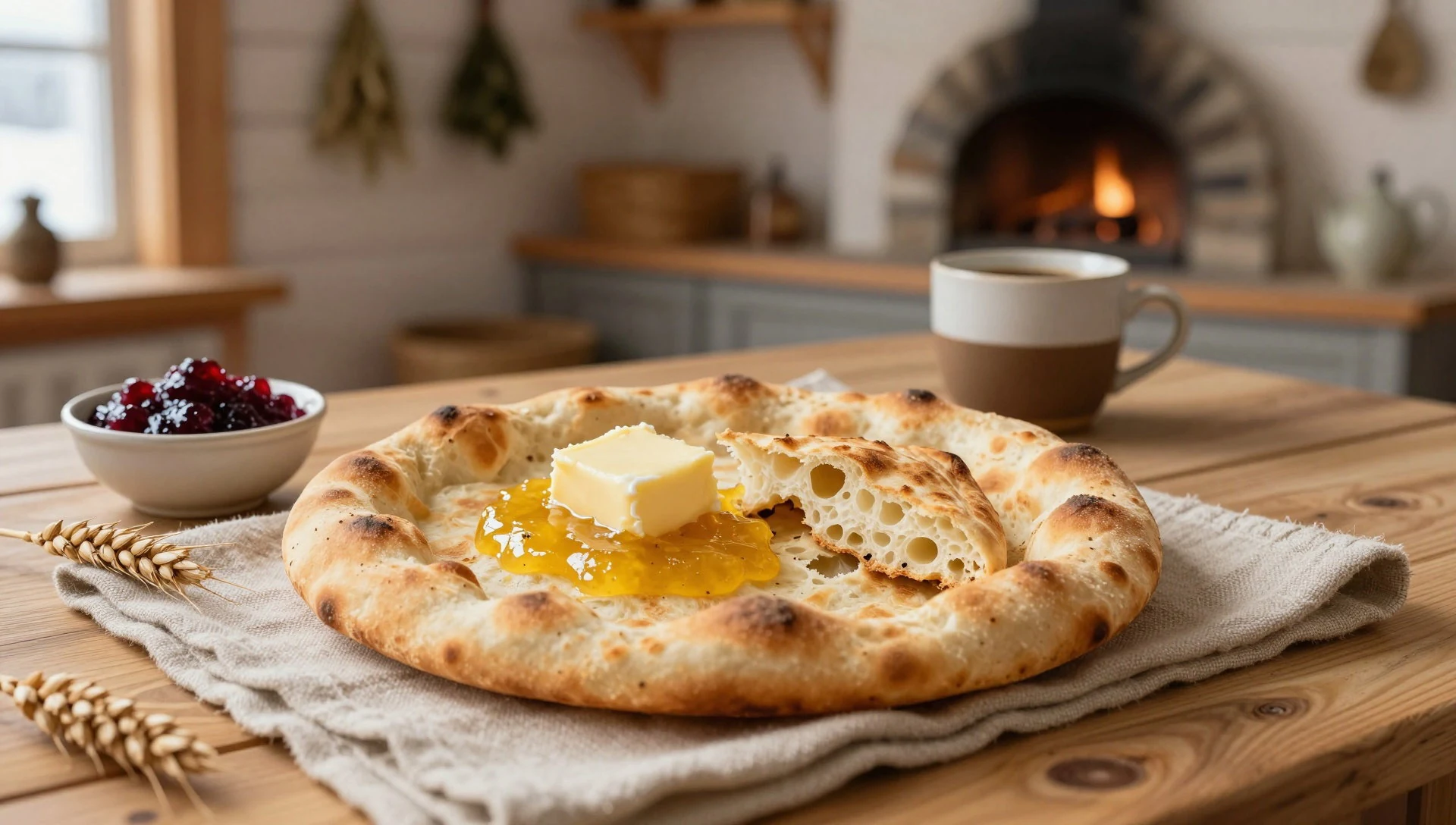
- Dried or smoked reindeer — Delicatessen counters and grocery shops in Lapland towns
Reindeer meat is a staple of northern Sweden, often sold dried, smoked or cured as a lightweight, salty trail food. It is high in energy and needs no cooking. Look for it in food shops in Lapland towns. - Wild berries — Open ground and birch woods, late summer
Lingonberries, bilberries and, in good years, cloudberries ripen on the fell in late summer. Picking wild berries for your own eating is generally allowed under public access rules, and a handful at a rest stop is hard to beat. - Camp-stove coffee — At your own camp or shelter
Strong boiled coffee is a northern habit, and a mug at camp after a long walk tastes better than it should. Use a stove, check any fire restrictions, and carry out the grounds.
Plan it
Best time. July to September. Snow lingers into late spring and winters are long and cold, so summer and early autumn give the easiest walking, though even then the weather can turn cold and wet quickly. Early autumn brings colour to the birch woods.
How long. 2–3
Getting there. The usual base is the village of Jäkkvik, about 10 km north of the park, which sits on the Kungsleden and has the nearest accommodation. Fly to a Lapland airport such as Arvidsjaur or Luleå, then continue by road; check current bus and taxi options before travelling.
Budget. mid
Tips
- Carry all food and fuel, because there are no restaurants or shops inside the park
- Purify or boil stream water before drinking
- Pack waterproofs and warm layers even in July, and carry a paper map
- Camp at established sites where possible, and follow the park's notices
- Start summit walks early so that you have spare daylight if cloud closes in
Etiquette
- Follow leave-no-trace habits and carry all rubbish out
- Keep your distance from moose and reindeer, and never chase them for photographs
- Respect Sami land use and keep dogs under close control
Nearby
Sources
- Wikidata Q666044 (CC0)
- Wikipedia: Pieljekaise National Park (rev 1340133724) (CC BY-SA 4.0)
- Wikivoyage: Pieljekaise National Park (rev 5257529) (CC BY-SA 4.0)
- Pavouk, Pieljekaise rozcesti, via Wikimedia Commons (CC BY 3.0)
- Tobbe Bäck, Looking north from Pieljekaise, via Wikimedia Commons (CC BY-SA 2.0)
- Tobbe Bäck, Moose Pieljekaise, via Wikimedia Commons (CC BY-SA 2.0)
- Pavouk, Pieljekaise cesta, via Wikimedia Commons (CC BY 3.0)
- Tobbe Bäck, Pieljekaise north, via Wikimedia Commons (CC BY-SA 2.0)
- Tobbe Bäck, View south from Pieljekaise, via Wikimedia Commons (CC BY-SA 2.0)


