Pico Basilé
Pico Basilé, Equatorial Guinea
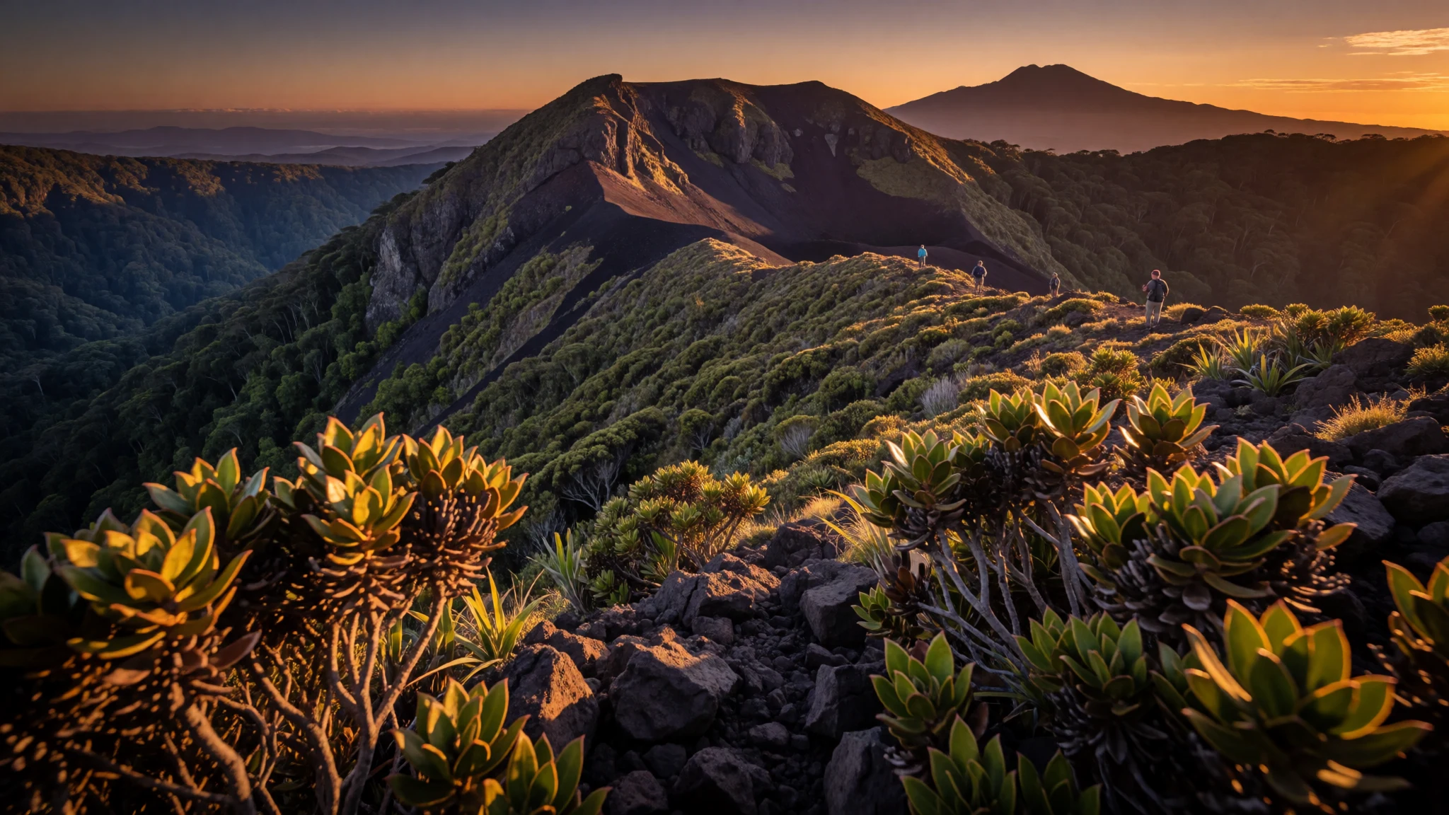
Pico Basilé rewards hikers with big-volcano views from Equatorial Guinea’s top mountain inside a national park setting.
The place
Pico Basilé sits on Bioko Island and is Equatorial Guinea’s highest mountain, rising to 3,011 metres. It’s not a lonely peak on a map; it’s the summit expression of overlapping basaltic shield volcanoes that make Bioko’s interior feel rugged and volcanic even when the coastline is flatter. The mountain sits close to Malabo, so the landscape shift—from city edges and vegetation to steeper slopes—feels comparatively quick.
The top matters in a practical way too. The summit area is used for broadcasting and communications, so the final stretch can include structures and service access rather than just pure wilderness vibes. On clear days, the summit directionally connects the island story with the wider region: you can see Mount Cameroon to the north-east when conditions line up.
Pico Basilé National Park frames the experience. Even if the journey feels like a day of effort, the reward is more about atmosphere than postcards: volcanic ground, cloud that can roll in fast, and changing light as you move higher. Bioko’s weather can put the brakes on plans, but it also creates those half-hidden ridge views that make a volcanic climb feel dramatic.
One honest note for visitors: Equatorial Guinea’s wider travel conditions are known to be difficult, with sparse tourism infrastructure. That makes Pico Basilé less like a casual hike and more like a carefully arranged trip where logistics, permissions, and on-the-ground guidance really count.
Its story
Pico Basilé’s story starts long before European charts, with Bantu-speaking communities shaping life on Bioko over centuries. Over time the mountain became part of the island’s lived geography—less a named attraction and more a landmark in the environment people moved around.
Later, European attention arrived with early navigation. Portuguese navigator Fernão do Pó is recorded as the first European to sight the island while looking for a route to India. After that, the peak began to feature in accounts of exploration. English commanders made an early European climb in the late 1820s, and the mountain later saw a first official ascent in the 1830s led by British John Beecroft.
What’s striking is how the mountain’s physical reality underpins the human narrative. Pico Basilé is a shield-volcano summit formed by overlapping volcanic structures, so the climb is about reading layers of stone and imagining ancient flows rather than scrambling a single dramatic spire. The overlapping volcano system also points to Bioko’s wider geology—tied to a major fault line associated with the Gulf of Guinea islands.
In modern times, the summit’s role has expanded beyond exploration. Communications installations mean the top is still actively used, and that blend—wild mountain environment with real-world infrastructure—gives Pico Basilé a slightly different character from “pure” trekking destinations.
What to see
- Volcanic ridges and changing light — Bioko Island interior (approach to the summit)
Pico Basilé’s slopes are volcanic in feel—texture, drainage, and vegetation shift with altitude. In mist, the ridgelines flatten into silhouettes; in clearer spells, you get depth over the island’s valleys.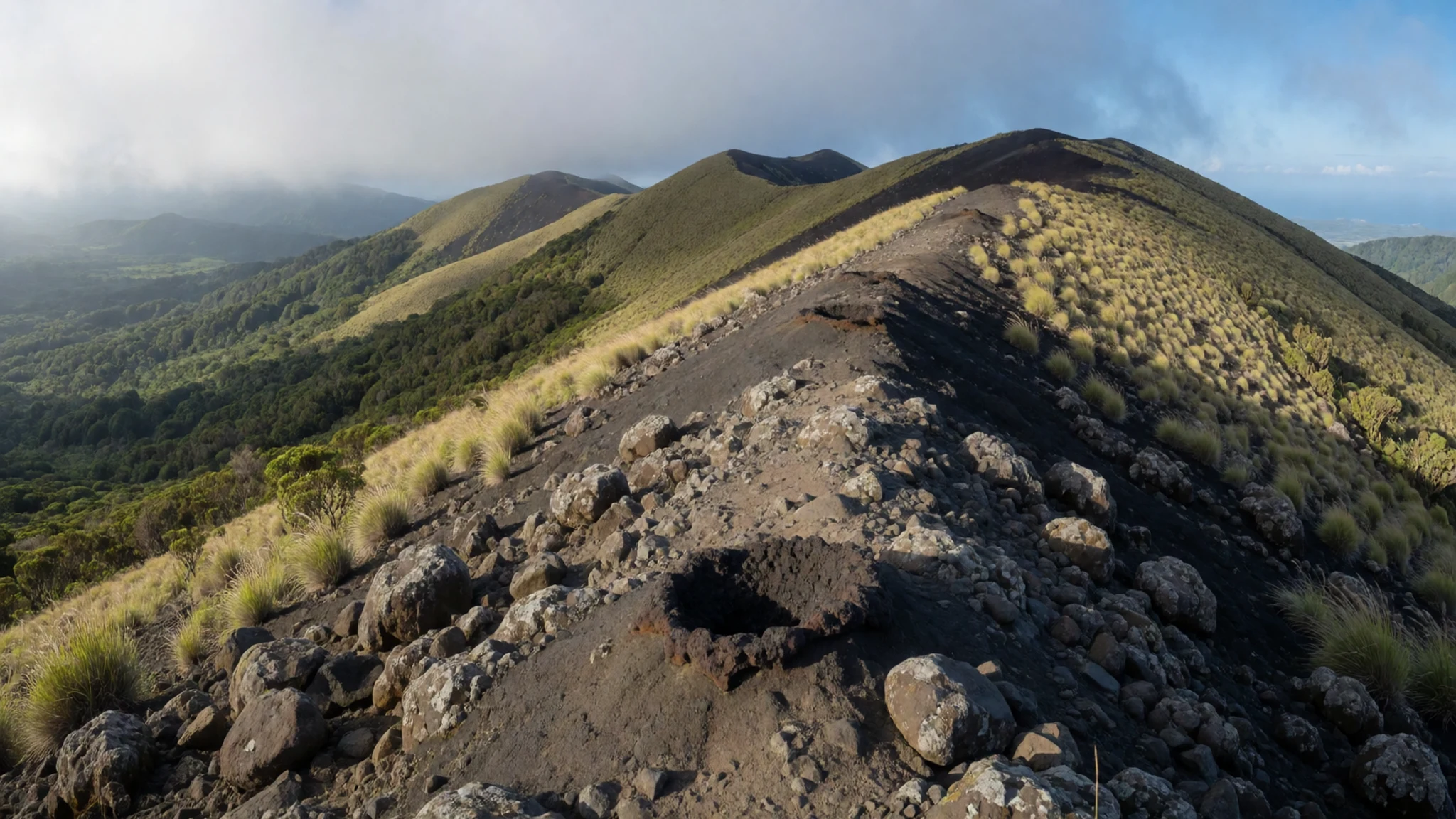
- Summit communications area — Summit area
At the top, Pico Basilé hosts broadcasting and microwave relay facilities. It’s a working high point, so the last section can include equipment and access points rather than a quiet, natural look.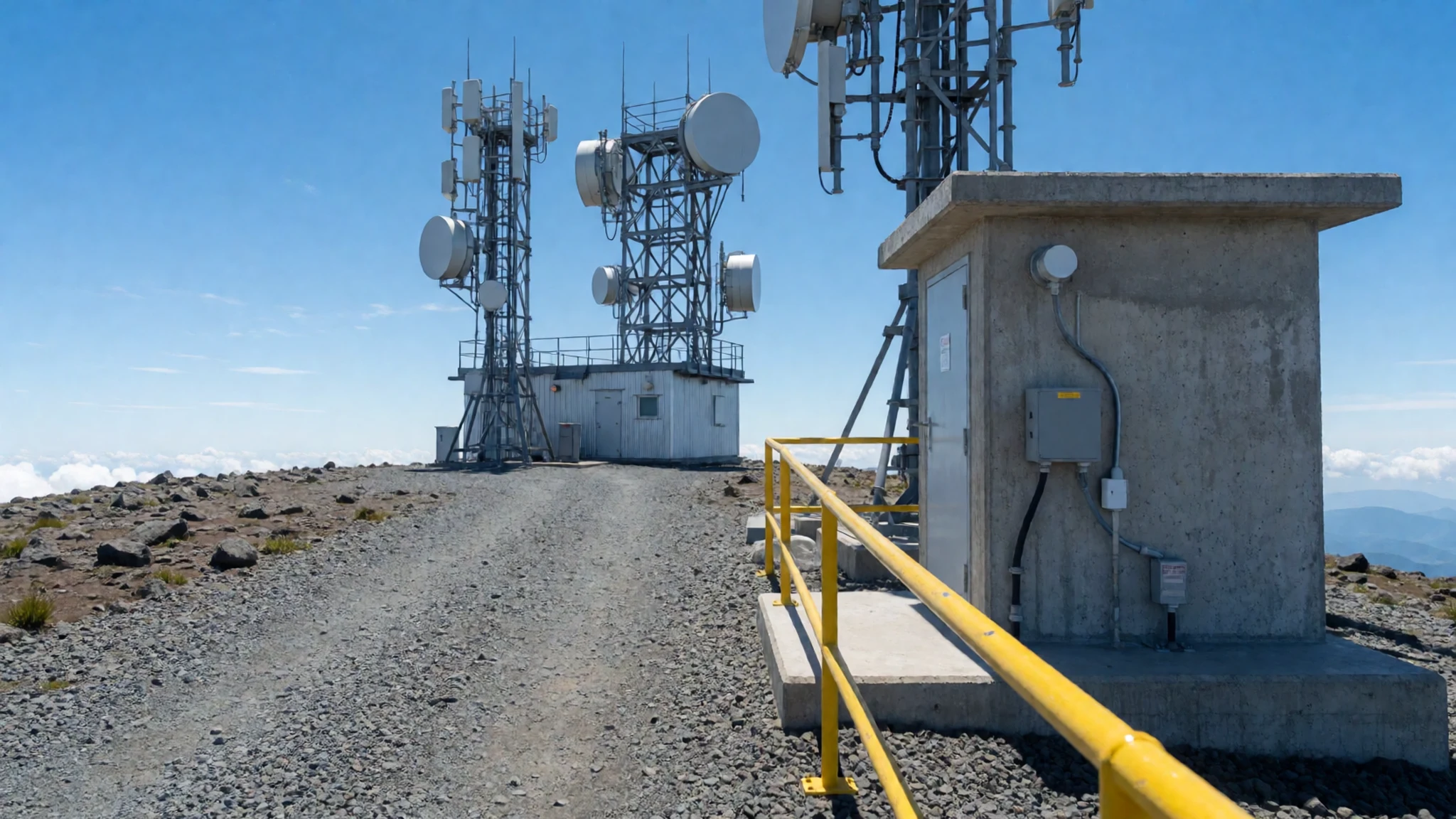
- National park feel on the climb — Pico Basilé National Park
Within Pico Basilé National Park, the climb is less about monuments and more about staying inside a protected landscape. Expect a mix of trail effort and nature time, with views that come and go as weather shifts.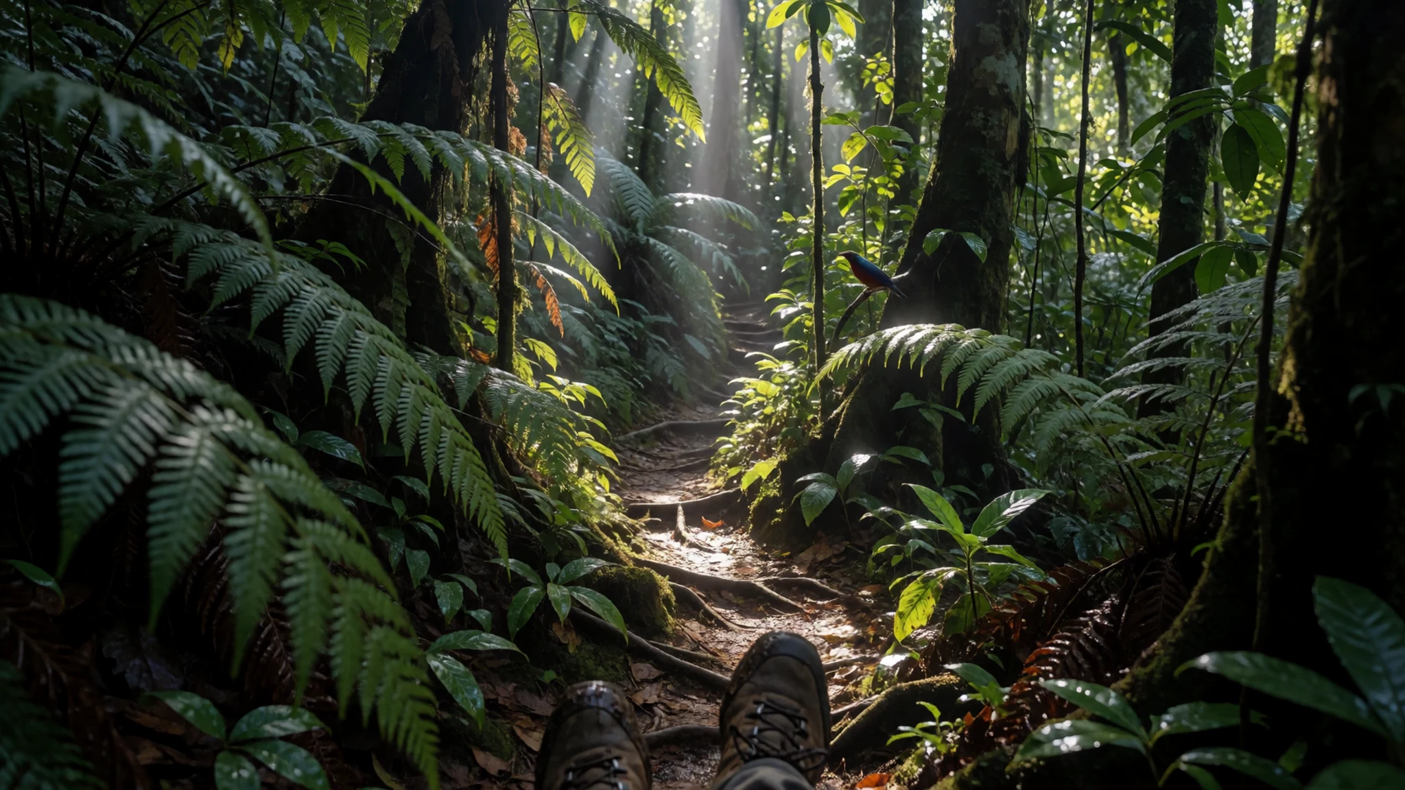
- Malabo vs mountain skyline contrast — Malabo area and inland approach
Because Pico Basilé sits close to Malabo, the contrast is part of the experience. City edges and settlement patterns give way to a higher, wilder skyline as you move inland, making the mountain feel reachable.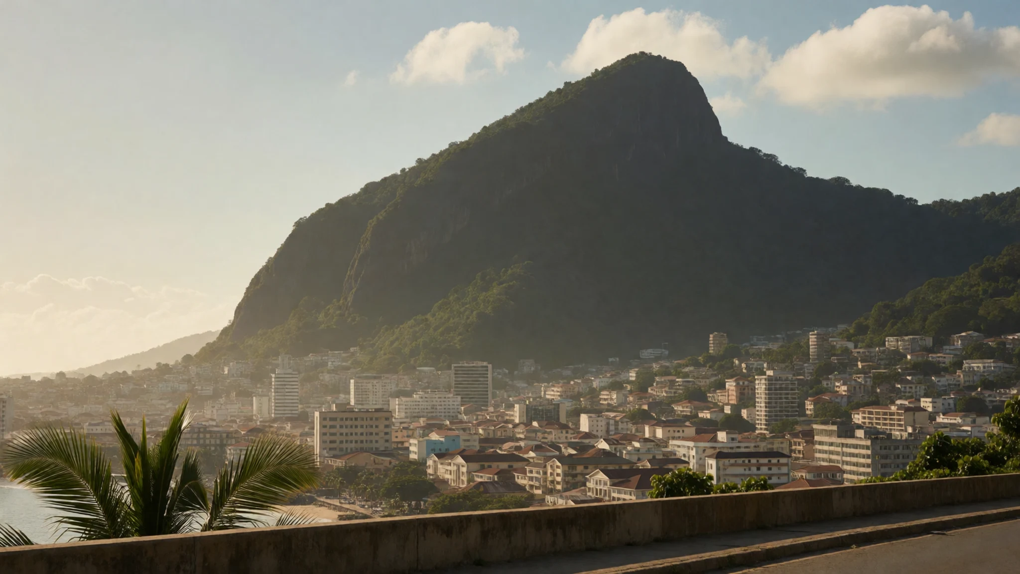
- Cloud moments from the higher slopes — Higher slopes around the summit track
Cloud can roll through quickly, turning viewpoints into brief windows. One minute the landscape disappears; the next it reappears with sharper ridges and a different colour palette on the volcanic rock.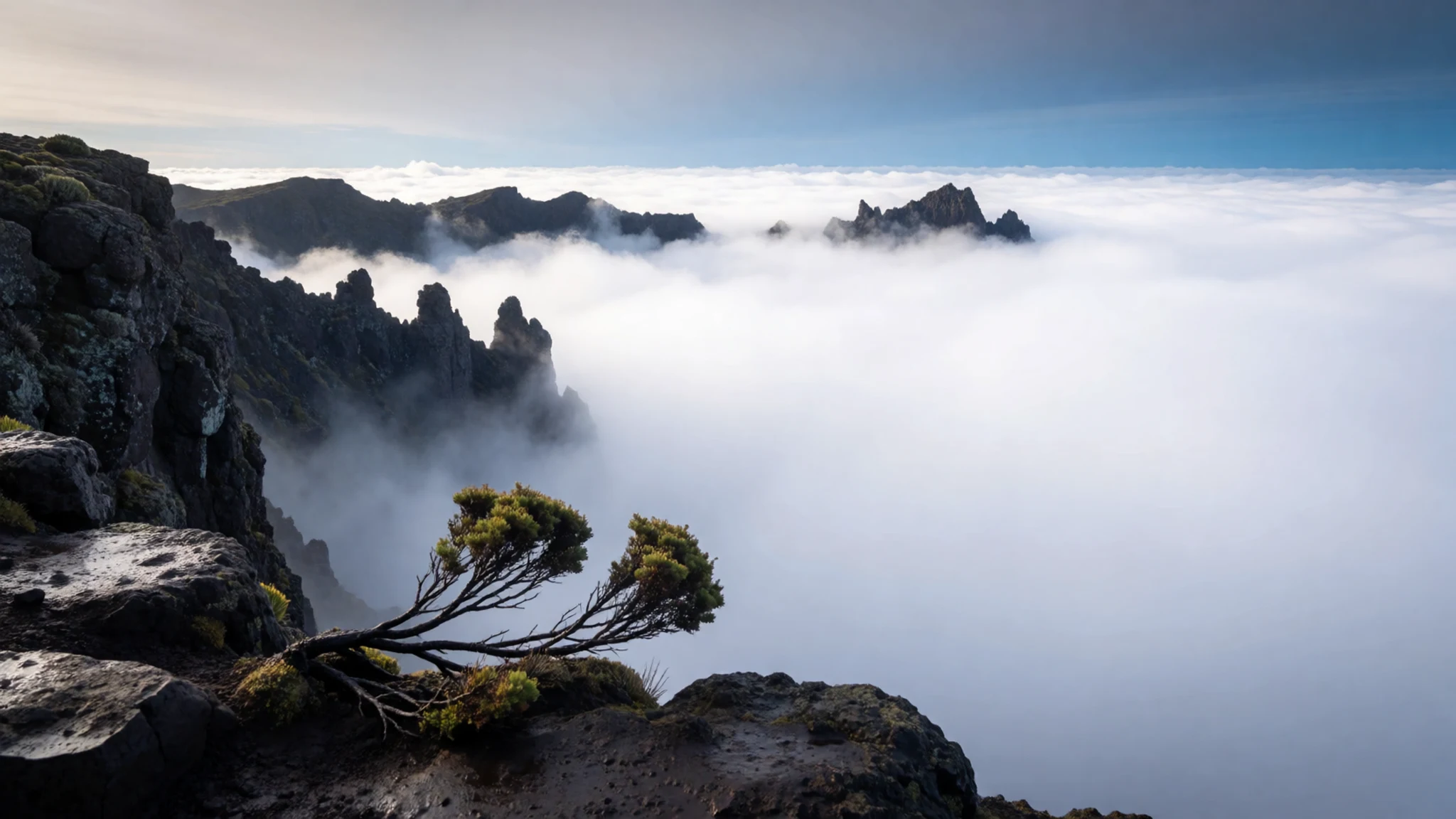
Culture
Pico Basilé is visited from a country where Spanish influence is a real part of daily life. Visitors often notice that local hospitality can feel warm and familiar—people may quickly try to connect on language and culture, especially in places around Malabo where expats and locals mingle. That same social openness sits alongside a travel reality that can be tense: getting permission to move around, understanding what authorities expect, and keeping your plans tidy matters more here than in countries with heavy tourist infrastructure.
In practice, the cultural experience is as much about how conversations go as where the mountain “is”. If someone is helping with arrangements, payments, or guidance, follow their lead and keep interactions calm and respectful. Avoid anything that reads like criticism of the government or public figures; in authoritarian contexts, even casual statements can create problems.
Finally, photography is a delicate category. When rules are unclear, being cautious helps: don’t treat the camera as a casual companion, and be alert to where authorities seem sensitive.
Visitor etiquette: be polite and low-key around officials, and avoid photographing airports, government or military-looking areas.
What to wear
For Pico Basilé, clothing is about altitude, weather, and respect. Temperatures and cloud cover can change quickly near the top, so a layered approach works best: breathable long trousers, a moisture-wicking top, and a warm layer for cooler spells. Sturdy walking footwear matters because volcanic terrain can be uneven and slippery after mist.
There isn’t one single “mountain uniform”, but modest dress is a safe default around people and anywhere religious or formal spaces appear in Malabo during the trip. Lightweight fabrics are practical, yet keeping shoulders and knees covered is a conservative, comfortable choice for most situations.
What locals wear day to day will be shaped by heat, and you’ll likely see a mix of everyday casual outfits and more traditional clothing depending on setting. For visitors, the practical takeaway is to prioritise function: long socks, a rain layer or poncho, and a hat for sun breaks. If a guide or community contact suggests adjustments, follow it—local norms can be clearer on the ground than any generic packing list.
What to eat
- Smoked beef with black pepper — Malabo restaurants and eateries
For Equatorial Guinean flavours, look out for smoked beef served with a pepper-forward sauce. It’s the kind of hearty dish that fits after a cold mountain morning, and you’ll usually find it on menus around Malabo.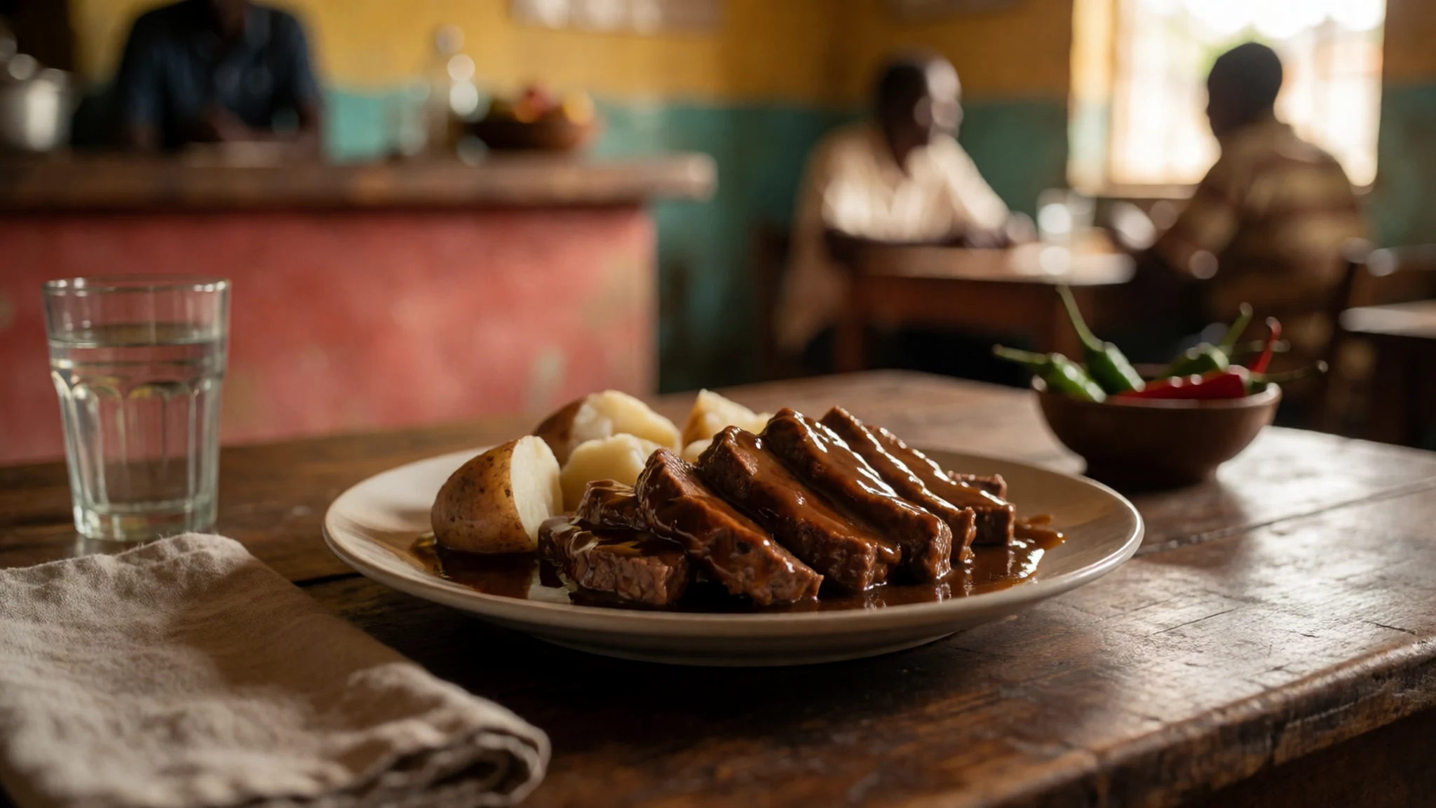
- Roast duck with cheese and onion leaf — Malabo eateries
Roast duck paired with cheese and onion leaf is a rich local-style combination. It’s the sort of plate you’ll want to time for the end of a hike day, when you’re ready for something filling rather than light.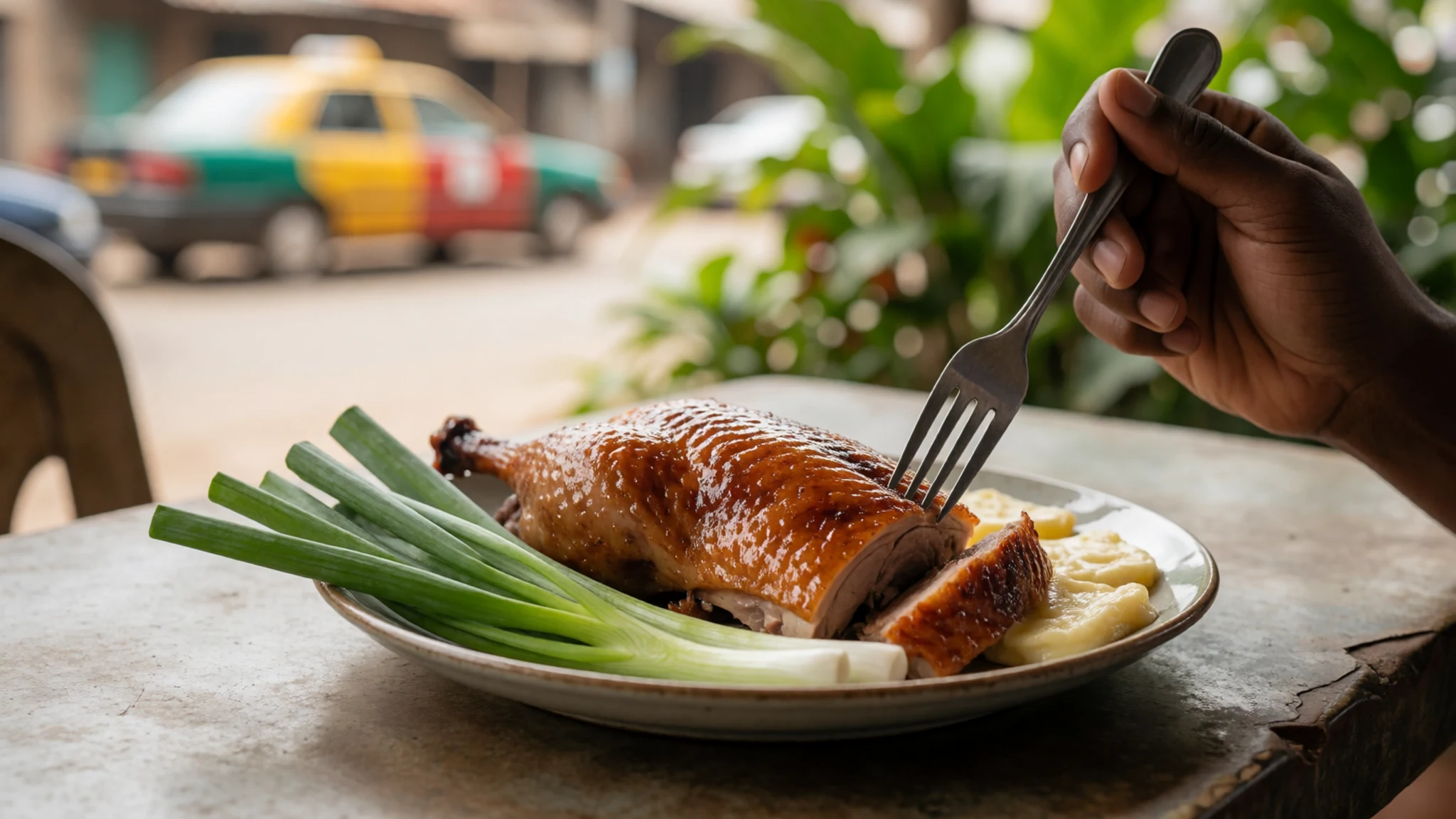
- French-style dishes at a hotel coffee shop — Hotel-area coffee shop near the north coast
In Malabo, French-influenced cooking shows up in hotel dining rooms and coffee-shop settings. If French pastry and sauces are what you crave after travel days, these are the places locals mention first. - Pizza and pasta — Malabo city centre
Pizza and pasta are widely easiest to find in Malabo, particularly through the city’s dedicated pizza-and-pasta spot. It’s a reliable fallback when ingredients or menus for other cuisines feel harder to navigate. - Chinese cuisine in the city — Malabo restaurants
Chinese dishes appear in Malabo via Chinese-style restaurants, often serving familiar noodles and stir-fry plates. It’s a good option when day-to-day menus vary, and you want something familiar but still satisfying.
Plan it
Best time. March–April for drier, more comfortable hiking conditions and clear spells; late October–November for another workable window, while June is the rainy season and August is hot and humid.
How long. 2–3
Getting there. Fly into Malabo (nearest major airport), then arrange the transfer and inland start point for Bioko’s north-side access; the final leg is by road with local support rather than public transport for the mountain.
Budget. mid
Tips
- Build in time for permission checks and any communication with guides or authorities before starting out
- Start early to reduce the chance of heavy cloud and to maximise clearer viewing windows
- Keep a realistic pace: volcanic terrain can be tiring even when trails are straightforward
- Carry water and a light rain layer for sudden cloud and mist
- Plan around uncertainty—weather can change faster than expected near the summit
Etiquette
- Ask before photographing people or official-looking buildings; avoid obvious “no-go” areas
- If someone suggests putting the camera away, follow that guidance without arguing
- Keep your tone respectful with police or officials and avoid any political commentary
Nearby
Sources
- Wikidata Q1518286 (CC0)
- Wikipedia (Pico Basilé) (CC BY-SA 4.0)
- Wikivoyage (Equatorial Guinea) (CC BY-SA 4.0)
- Photo: photos/01-pico-basil.jpg (CC BY 3.0)
- Photo: photos/02-hotel-de-federaciones-02.jpg (CC BY-SA 4.0)
- Photo: photos/03-hotel-de-federaciones-07.jpg (CC BY-SA 4.0)
- Photo: photos/04-the-great-bioko-mountain.jpg (CC BY-SA 4.0)


