Phoenix Islands
Phoenix Islands, Kiribati
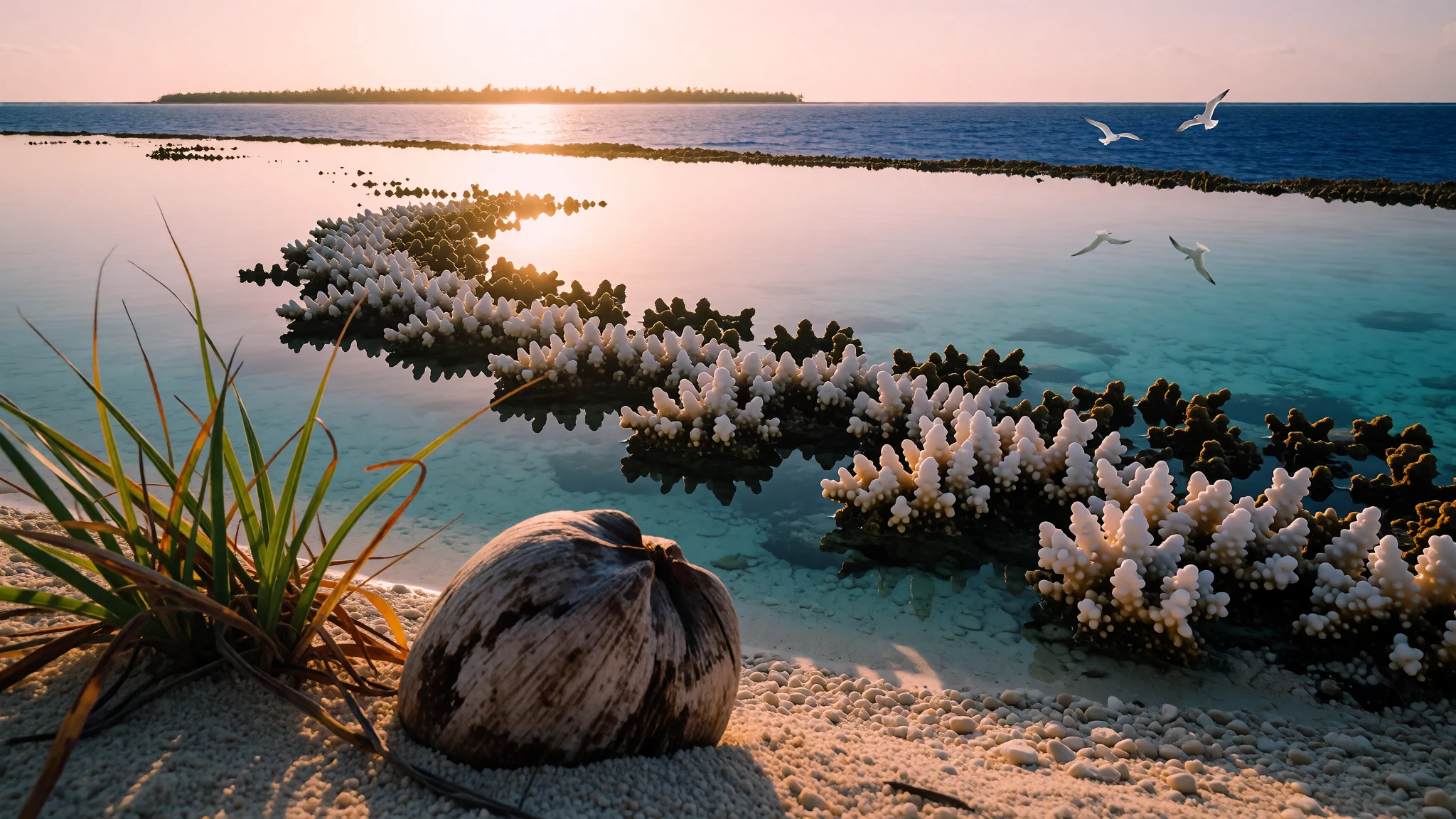
Phoenix Islands is a rare chance to step into a remote, reef-rich marine world where the wildest resource is the ocean itself.
The place
Phoenix Islands (Rawaki) sits in the central Pacific, east of the Gilbert Islands and west of the Line Islands, within the Republic of Kiribati. It’s a compact chain by global standards, made up of eight atolls and two submerged coral reefs, with a combined land area of 28 square kilometres. Most travellers won’t picture “islands” here in the everyday sense—there’s little in the way of towns or everyday life—because the story is overwhelmingly ocean, reefs, and the wildlife that depends on them.
Canton Island (also called Abariringa) is the only island of any commercial importance. The others—Enderbury, Rawaki (formerly Phoenix), Manra (formerly Sydney), Birnie, McKean, Nikumaroro (formerly Gardner), and Orona (formerly Hull)—are uninhabited in practice, aside from small numbers of people living on Canton Island. That emptiness is the point: the region is managed as the Phoenix Islands Protected Area, established in 2008.
The protected area is often what determines what visitors can actually do. It’s the setting for coral and fish life, and it’s remote enough that your trip feels like an expedition rather than a casual getaway. It’s also not a “fly in and roam” place: access is limited, the ocean dominates logistics, and the coastline you see tends to be the lagoon edges, anchorage areas, and reef channels rather than long, walkable beaches. Think sea-borne days, careful planning, and an itinerary shaped by weather and water conditions.
Its story
Phoenix Islands’ human history reads like a sequence of arrivals and disappearances rather than a steady settlement story. Evidence points to prehistoric use of Howland Island, with archaeological finds on Manra and Orona suggesting more than one group of settlers—one thought to be connected to eastern Polynesia and another to Micronesia. Life on these isolated islands was hard, and the populations either faded away or moved on, similar to what has happened across other remote island chains.
After those early settlements, contact patterns expanded across the Pacific. Archaeological work has linked basalt items found on the islands to places such as Samoa, the Marquesas, and the Cook Islands, carried in the broader ocean routes that connected island communities. Later mapping and discovery work came from European-era voyages and whaling activity in the Pacific. When Spanish navigator Álvaro de Mendaña de Neira was sent out in 1568, he sailed between the Line Islands and the Phoenix Islands without sighting land, eventually recording “Isla de Jesus”, which may relate to an island in a nearby group.
In the 1800s, whaling increased the attention paid to the region. The islands were among the last to be fully explored and charted in the Pacific, and records from that period are inconsistent—reports vary because early mapping was imperfect. In the background of all this came later colonial claims, including a US claim under the Guano Islands Act and a subsequent settlement when Kiribati became independent. The modern significance of Phoenix Islands, though, is less about empires and more about protection: the protected area established in 2008 now shapes how the reefs and waters are managed.
What to see
- Phoenix Islands Protected Area — Protected area waters around the Phoenix Islands
Phoenix Islands Protected Area is the main experience driver: it covers the reefs and surrounding waters around the chain, shaping how diving and sea days are done. The remoteness and protection together mean you’re travelling to see marine life rather than towns.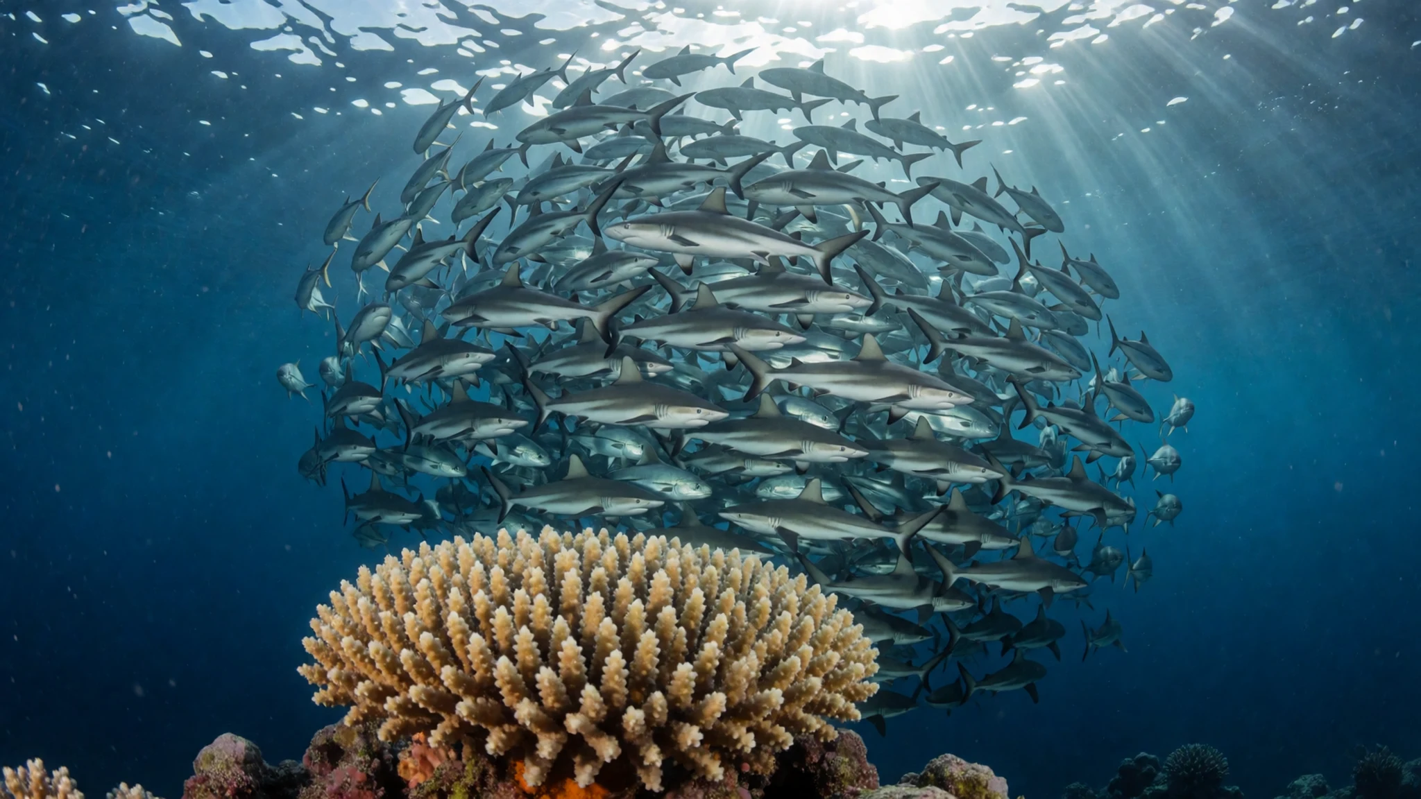
- Canton Island lagoon entrance (Abariringa) — Canton Island lagoon approaches (Abariringa)
Canton Island (Abariringa) is the hub of the islands in practice. The lagoon edge is where ships and smaller boats tend to spend time, and where the first “this is the real Pacific” views land—bright water, low islands, and open seascapes.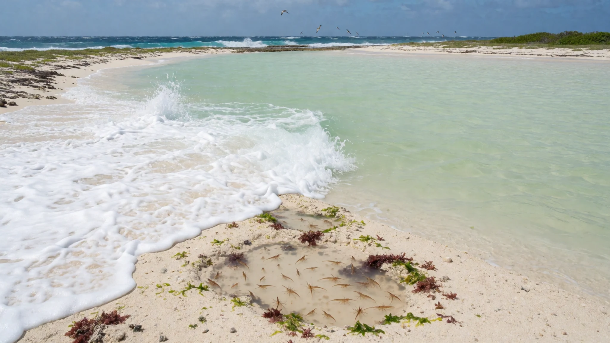
- Reef dive day (conditions permitting) — Dive sites in the protected waters
On a reef dive day, you’re typically following the ocean’s rhythms: water clarity, currents, and visibility can make or break the plan. When conditions line up, the protected waters are the point—reefs and fish life close enough to feel immediate.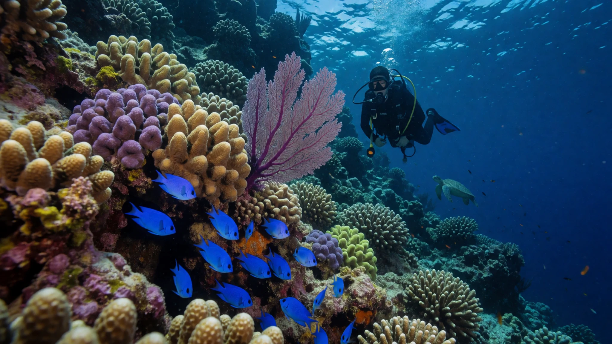
- Protected area boundary views — Regional overview around the Phoenix Islands Protected Area
Boundary maps help you understand scale: the protected area stretches across the chain in a way that makes it feel like a whole ecosystem, not a single “spot”. It’s the kind of detail that makes post-trip photos and dive logs easier to place.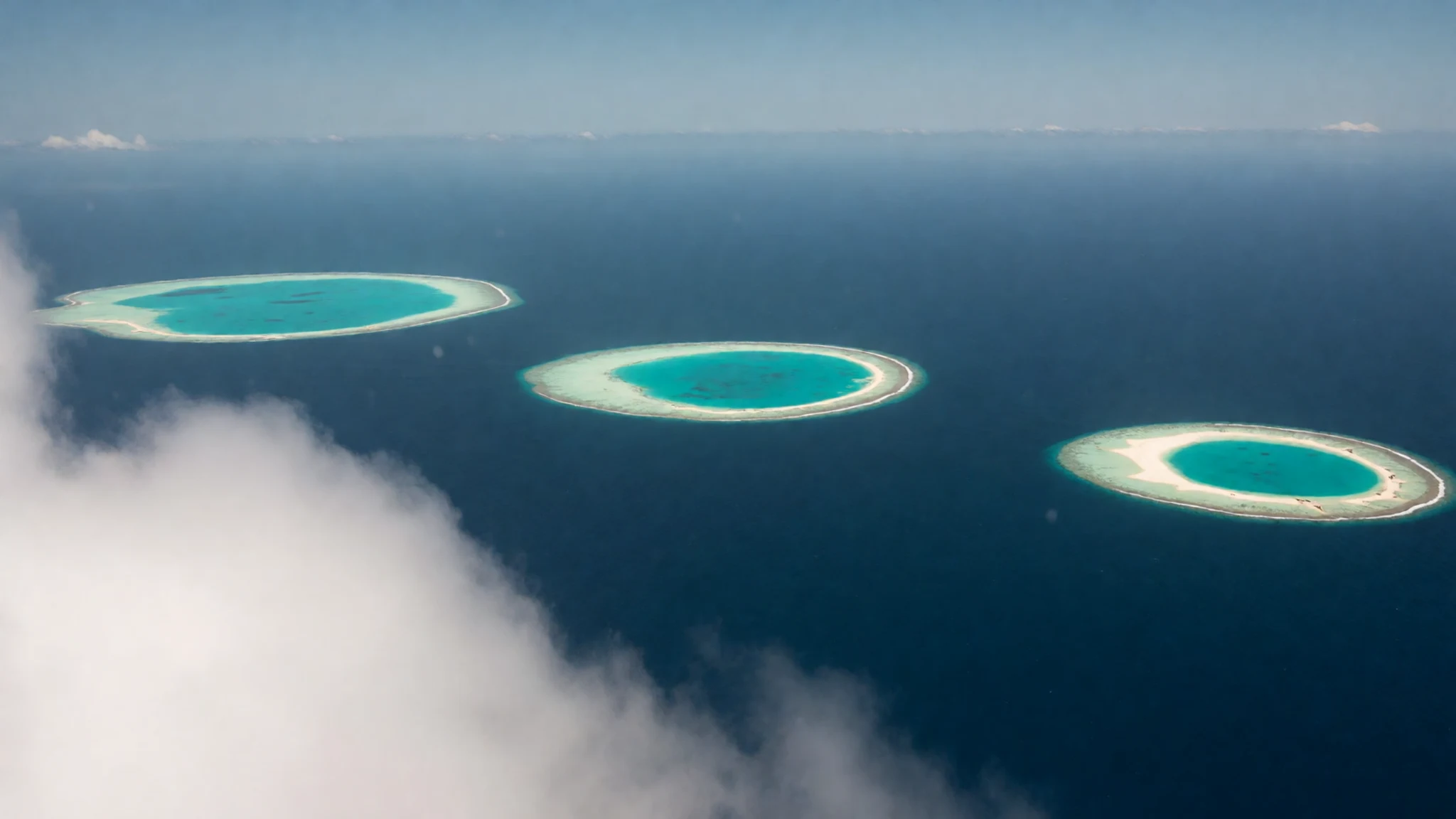
- Seamount and underwater terrain map — Underwater terrain and ecosystem context for the islands
Underwater terrain is a big part of why the marine life here is so varied. A seamount-style view shows the shapes and contours below the surface, which can help explain currents, reef development, and why certain dive and snorkel days feel different.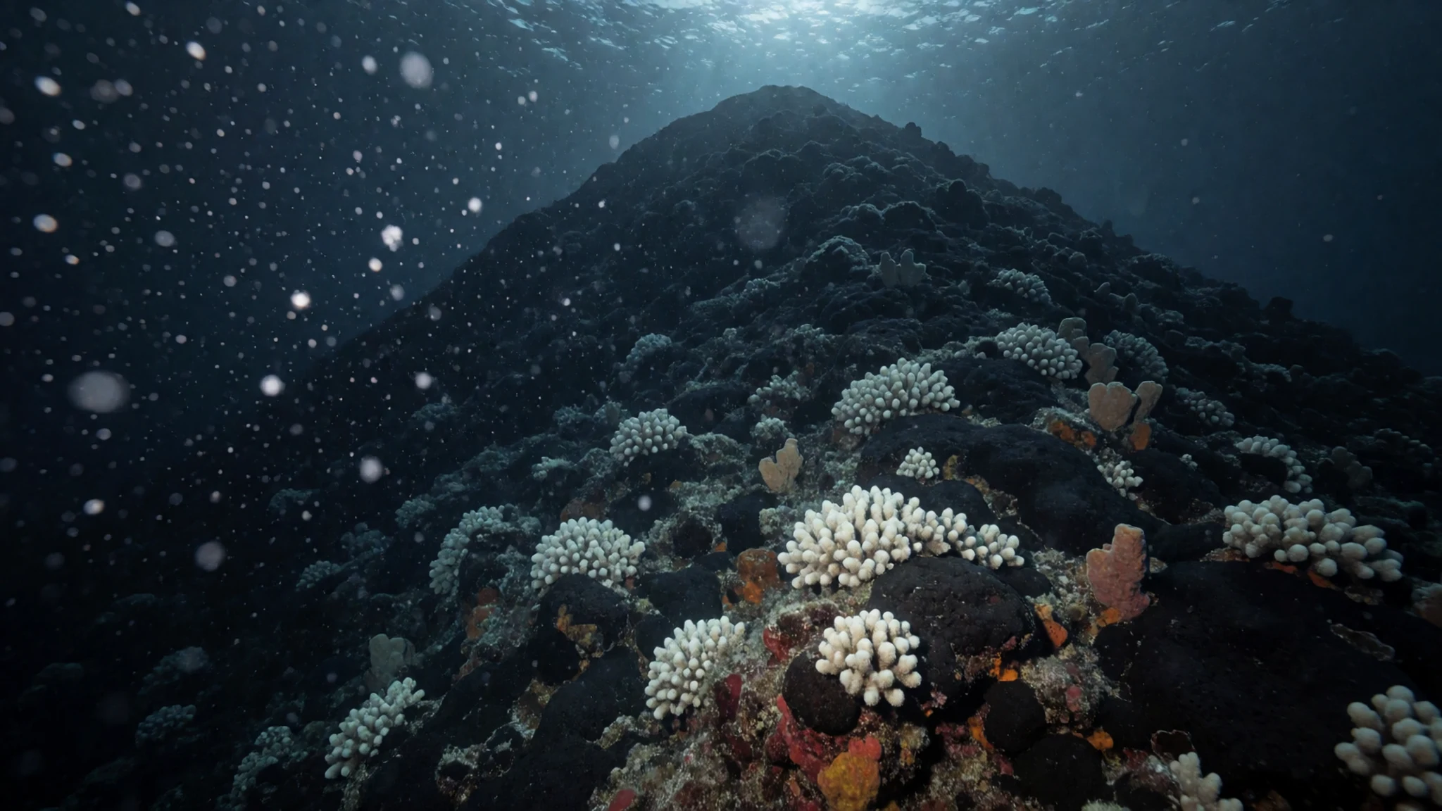
- Photo-rich conservation landscape — Protected-area seascapes and reef structure views
A set of protected-area images is useful for visual orientation: shallow colours, reef structures, and the dark-to-light gradients that show how water depth changes fast. It’s a reminder that “landscape” here often means ocean surface and reef edges, not cliffs or valleys.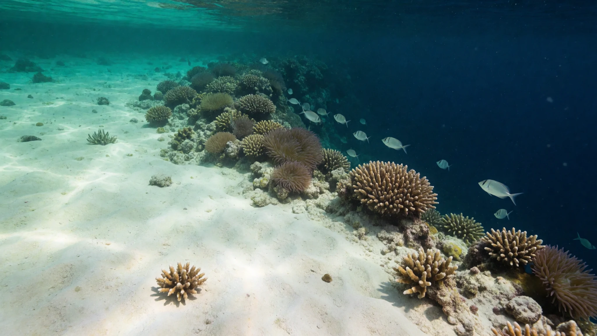
Culture
Phoenix Islands is culturally quiet: the islands are uninhabited in the everyday sense, and the real “local life” is the ocean ecology and the way conservation is enforced. Canton Island is the main exception for presence, with only a small number of people living there, so there aren’t markets to wander or ceremonies to attend.
Because access is expedition-style and the protected area matters, culture here is mostly about care and restraint—how visitors behave around reefs, wildlife, and the practicalities of operating in a remote marine setting. Reef environments can be damaged by careless finning, touching coral, or leaving gear behind, so the etiquette is less about monuments and more about doing the basics properly.
Expect a trip where rules aren’t “nice to have”; they’re how everyone keeps the same conditions for the next boat. Respect the guidance from the team running the landing, diving, or snorkelling, and keep movement deliberate rather than showy. And if there are restrictions on where boats can anchor or where groups can enter the water, treat them as part of the experience rather than obstacles.
Visitor etiquette: don’t touch coral or wildlife, keep fins controlled, and follow the protected-area rules given by your boat crew.
What to wear
For Phoenix Islands, clothing is about sun, salt, and a lot of time in warm water—more than it is about style. Traditional dress isn’t really the headline here because the islands are largely uninhabited, with only a few families associated with Canton Island.
What most visitors wear now will look like “island expedition” gear: lightweight, quick-drying tops and bottoms for deck time; reef-safe swimwear; and a sun layer such as a long-sleeve rash guard or lightweight cover-up. Sun protection matters because you’ll be exposed on open water and on lagoon approaches. Footwear is functional too—water shoes or sandals with grip help with slippery surfaces and boat steps.
For a visitor wardrobe, pack a breathable hat, sunglasses, and sunscreen, plus an extra layer that’s comfortable for breezy evenings on the water. Even when the trip feels relaxed, the realities of wind and spray mean cotton-only outfits get heavy and uncomfortable. If you’re planning any time off the boat, bring clothing that can dry quickly and a light rain layer just in case.
Visitor clothing for religious or local norms isn’t a major theme here, but modesty still helps if you visit areas with people; aim for covered shoulders and non-frayed bottoms when not in swimwear.
What to eat
- Island-style meals on a liveaboard or expedition — On the boat during the expedition
On Phoenix Islands trips, meals are usually the kind of hearty, practical food suited to sea days—served on board or as part of an expedition schedule—so fuel is the priority over variety.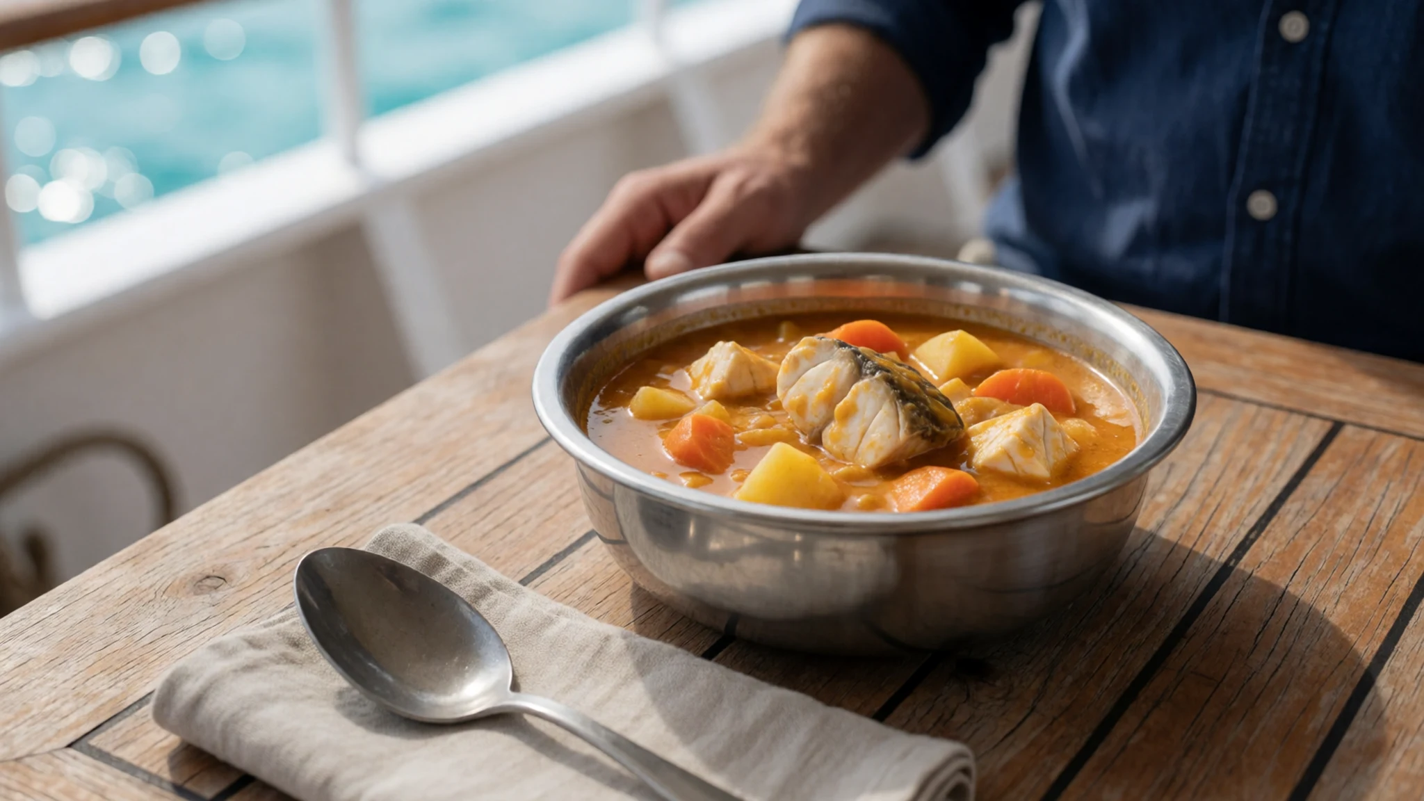
- Fresh fruit between swims — On board, between sea activities
Between dive or snorkel sessions, the simplest perk is often fresh fruit: easy to eat, refreshing, and quick to reset energy after time in the water.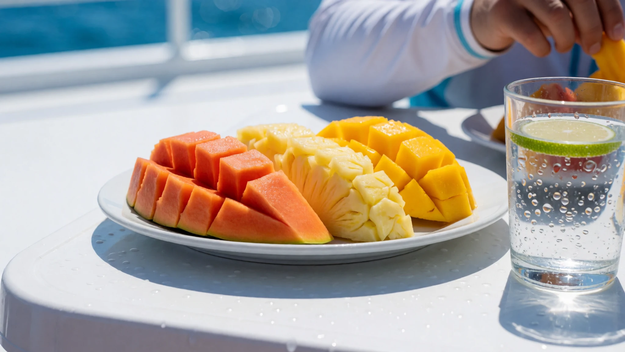
- Grilled or stewed seafood — On the expedition menu
Because the ocean is the destination, seafood often shows up in some form, typically grilled or stewed depending on what’s workable on board and what’s available through the trip logistics. - Rice and simple staples — On board, as part of everyday meals
Sea travel meals commonly centre on staples that travel well—rice and other simple components—paired with whatever vegetables and proteins the expedition can reliably source. - Tea and sweet treats — Shared onboard breaks and common areas
A proper hot drink and something sweet tends to be part of life on a long trip at sea, especially during calmer periods when the day schedule allows a break.
Plan it
Best time. For the driest months, plan for September to October, when rainfall is lowest, and for generally cooler (though still warm) conditions, choose May to June. Temperatures stay close to 30°C year-round, so it’s warm whenever you go, but rain varies through the year.
How long. 3–4
Getting there. Most Phoenix Islands trips route via Kiribati and a charter or expedition connection; the final approach is by boat to the island areas within the protected region.
Budget. high
Tips
- Build the trip around sea conditions: weather can shift when you dive or land
- Pack reef-friendly essentials and control your kit for wet gear
- Keep hydration high and plan rest periods between water sessions
- Expect limited options once you’re at sea; bring what you need for the full stretch
Etiquette
- Follow crew instructions for landing and entry points
- Keep fins controlled and avoid touching coral or wildlife
- Handle shared equipment carefully and keep common areas tidy
Nearby
Sources
- Wikidata Q271674 (CC0)
- Wikipedia (rev 1372550012) (CC BY-SA 4.0)
- Wikivoyage (rev 5414372) (CC BY-SA 4.0)
- Photo photos/01-kanton-island-01.jpg (Public domain)
- Photo photos/02-3dperspective-wseamounts-norefs.jpg (CC BY 3.0)
- Photo photos/03-carondelet-reef-dive-2017.jpg (Public domain)
- Photo photos/04-globmap-02-01-08-newboundsgreen.jpg (CC BY 3.0)
- Photo photos/05-phoenix-islands-protected-area-114862.jpg (CC BY-SA 3.0 igo)
- Photo photos/06-phoenix-islands-protected-area-114864.jpg (CC BY-SA 3.0 igo)
- Photo photos/07-phoenix-islands-protected-area-114868.jpg (CC BY-SA 3.0 igo)
- Photo photos/08-phoenix-islands-protected-area-114870.jpg (CC BY-SA 3.0 igo)


