Pamir National Park
Pamir National Park, Tajikistan
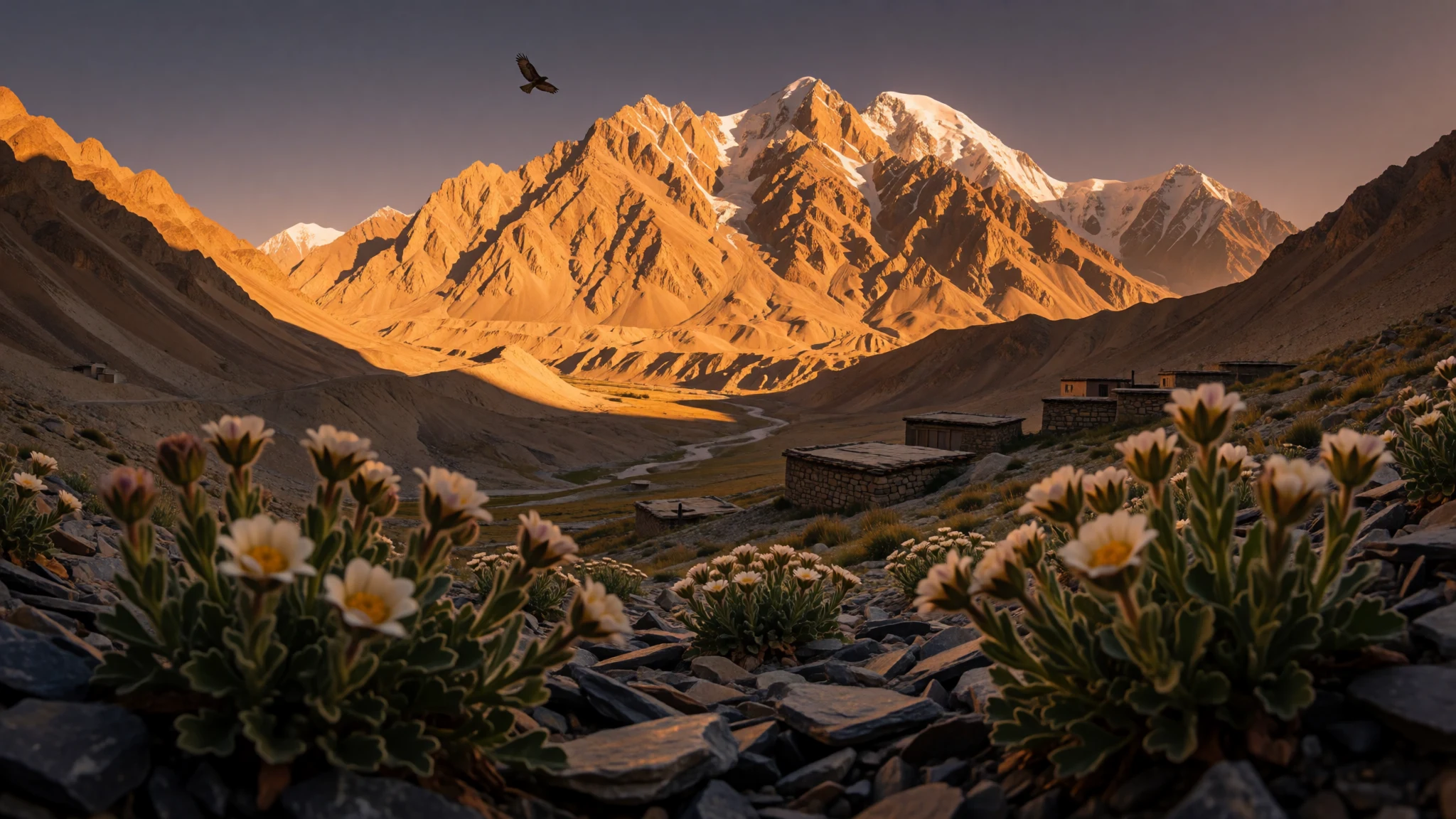
Pamir National Park is big, high, and quiet—an alpine reserve where geology, wildlife and vast steppe landscapes still feel raw.
The place
Pamir National Park sits in eastern Tajikistan, where the Pamir Mountains rise into a dramatic, wide-open world. It’s a national park and nature reserve established in 1992, later expanded to include parts of the Pamir Mountains. Because the park is tied to the mountain system rather than a single viewpoint, the “place” here is the scale: ridgelines, valleys, and wide spaces between settlements.
The park covers 26,116.74 square kilometres, which is a lot of ground to cover on foot, in a vehicle, or in stages with local guidance. It’s also a reminder that this region is not about quick sightseeing loops. The best days tend to be the ones that line up weather, road conditions and daylight, because altitude and exposure mean conditions can change quickly.
The official framing is about protection, and it’s easy to see why once you look beyond the dramatic peaks. High-country landscapes support fragile ecosystems, and the park’s boundaries include sections of the Pamir environment that feel remote even when you’re close to a road.
Crowds are generally not the problem here—the greater practical challenges are distance, remoteness, and making sensible plans for cold, wind, and temperature swings. In the quieter months, the mountains feel more manageable: fewer people, clearer light, and trails that are easier than the coldest winter. In the warmer months, expect more intense sun at altitude.
A stay in the Pamirs works best when the day’s goal is a route and a viewpoint, not a fixed checklist. Bring patience, layers, and a good sense of timing—this landscape rewards slow observing.
Its story
Pamir National Park has a planning story rooted in the late Soviet period and then shaped by the early years of independent Tajikistan. Work began in 1989, when Anvar J. Buzurukov conducted scientific feasibility studies to establish the Tajik Soviet Socialist Republic's initial national and nature reserves. Those studies ran under an international scientific effort called “Pamir-90”, which helped define what the area could protect and how.
The park became formal government policy on 20 July 1992, when Decision No. 267 designated Tajik National Park for an initial area of 12,000 square kilometres. That date matters because it marks the shift from proposal to protected status—an administrative turning point that later travellers now experience as conservation rules and managed access.
A year earlier, the same team had established the first nature reserve in Tajikistan, Shirkent Nature Park. That earlier step shows the momentum: protected areas were being tested, refined and expanded through practical experience.
Then came the expansion in 2001. The park’s area increased to 26,116.74 square kilometres by Order No. 253 of the Government of the Republic of Tajikistan. In plain terms, that means the “Pamir National Park” label didn’t just protect a single zone—it grew to embrace more of the Pamir Mountains’ high-country environments. Today, visitors move through a landscape shaped by those decisions: not a theme park, but a protected mountain region where the main storyline is still the land itself.
What to see
- Pamir ridgelines and viewpoints — High-country zones across the park
Pamir National Park is best read from the high line: long ridges, sharp slopes and distant valleys that keep widening the farther you look. Plan for variable light—wind and cloud can change the whole mood fast.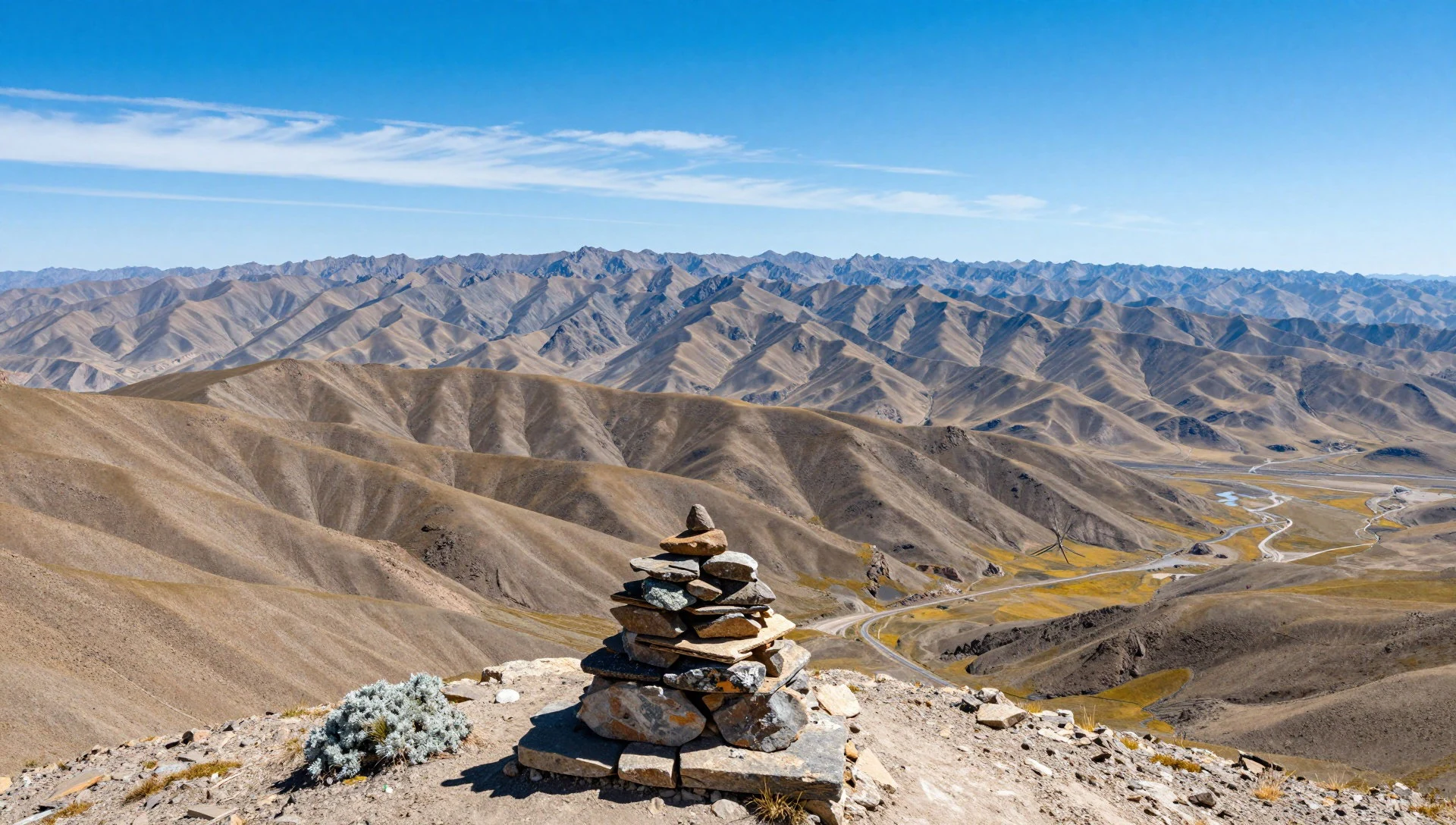
- Mountain valleys and steppe edges — Valleys within the park
Between peaks, the terrain relaxes into valley landscapes where steppe and grassland meet rock. These quieter areas often feel more alive than the dramatic summits, especially on calmer mornings.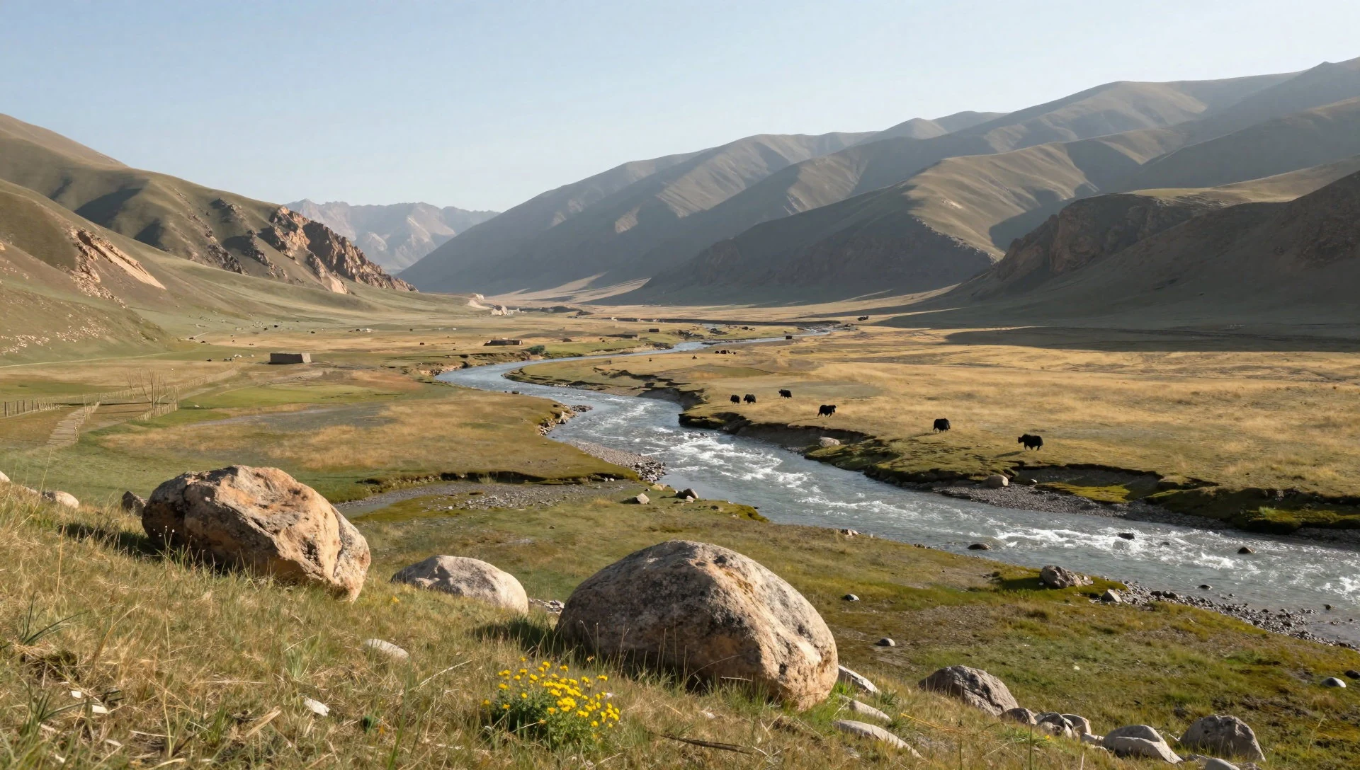
- Protected area landscapes — Protected areas within Tajikistan’s eastern Pamirs
The photo set for Pamir National Park focuses on protected landscape sections within the park. Expect a mix of rugged ground, controlled habitats and a sense of “this is managed nature”, not an untended wilderness.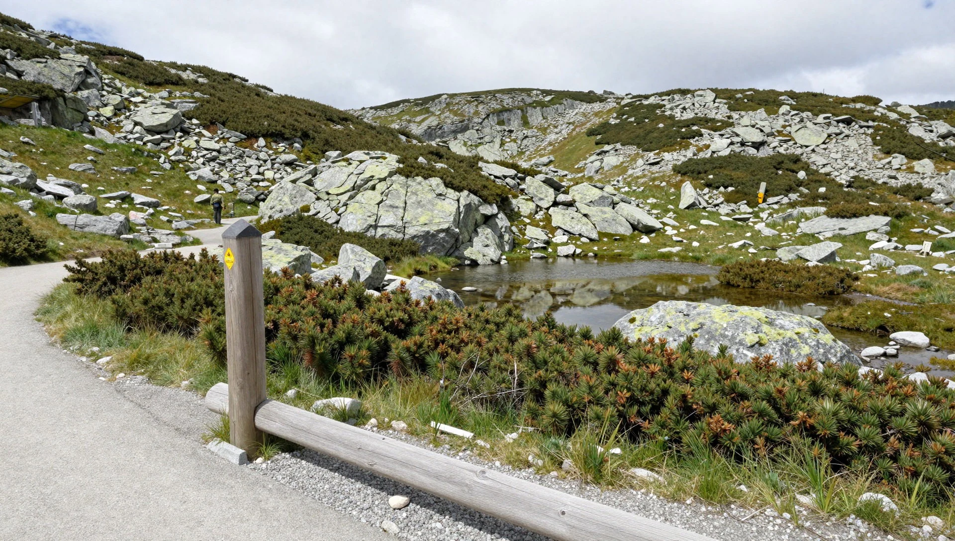
- Look-outs from high travel routes — Around main travel approaches to the park
Some of the most revealing views come from moving along the region’s travel corridors—when you see how mountains stack and overlap. A window view from the air gives context for why the park feels so vast on the ground.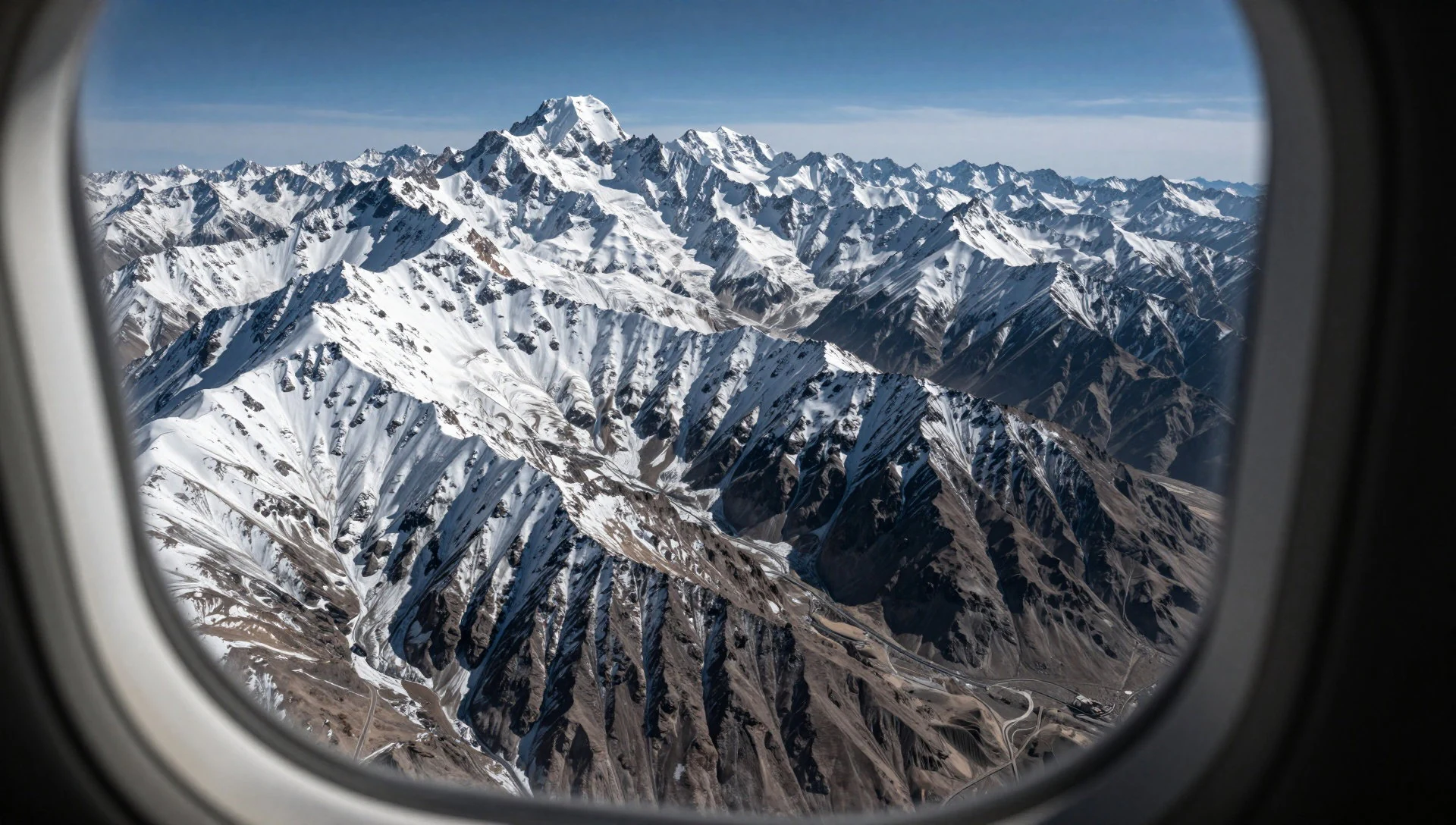
Culture
Pamir National Park sits within Tajikistan’s mountain culture, where daily life is shaped by distance, altitude and weather. Even when the landscape is the headline, the human story matters: local knowledge is often the difference between a safe day and a hard one. In many parts of the Pamirs, hospitality is practical—help comes in the form of guidance, transport arrangements and knowing what conditions are doing on the next pass.
Respect for protected nature is part of the local mindset, too. In a national park and nature reserve, the “right behaviour” isn’t a trend—it’s how livelihoods and land-sharing have been managed alongside conservation decisions. Visitors who treat the area like a place to rush through tend to run into trouble; visitors who move slowly, keep noise down, and follow local advice tend to have calmer experiences.
Because the park is large (26,116.74 square kilometres), planning and communication matter as much as sightseeing. Carry enough water and warmth for delays, and expect that changing mountain weather can affect travel time.
Visitor etiquette: keep to designated routes, don’t pick plants or disturb wildlife, and ask before photographing people or their homes.
What to wear
In the Pamirs, clothing is about layers and practicality more than looks. Traditional dress in Tajik contexts often features long garments and head coverings, reflecting modesty and the practical need for warmth and sun protection in mountain climates. Woven textiles and felt-like warmth show up in colder conditions, while everyday attire in towns tends to be lighter and easier to move in.
What travellers actually wear now is usually a mix of comfortable trekking gear and local-tailored warmth. Expect many people to dress modestly: long trousers or skirts, long-sleeved tops, and a scarf or hat depending on wind and sun. Footwear matters because the terrain can be rocky, and cold toes are a problem even when the day feels bright.
For a visitor to Pamir National Park, aim for a layered system: a thermal base, a warm mid-layer, and a windproof outer. Pack gloves, a hat, and sunglasses for the glare at altitude. Choose sturdy, grippy shoes (or boots) and plan for waterproofing if conditions turn. For visits near settlements or informal stops, carry a scarf for coverage and wind, and keep clothing reasonably modest.
What to eat
- Plov (pilaf) — Family-run eateries and roadside stopovers
Plov is the comfort meal you’ll keep seeing across Tajik mountain regions—rice cooked with meat and vegetables. It’s commonly served in family-run eateries and roadside stopovers on longer travel days.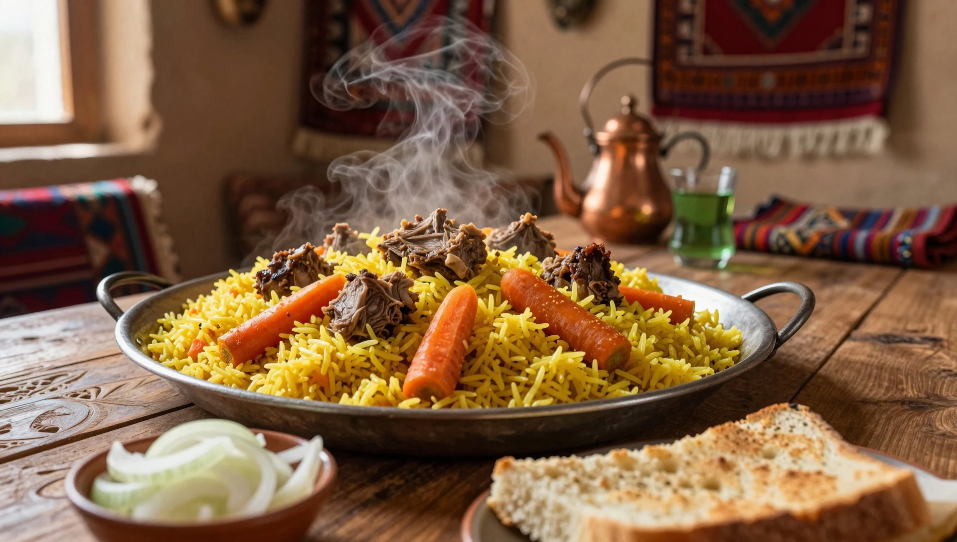
- Samsa — Local bakeries and markets
Samsa are baked pastries with savoury fillings, best when eaten hot. Look for them at local bakeries and markets, and grab one for the road when the route stretches ahead.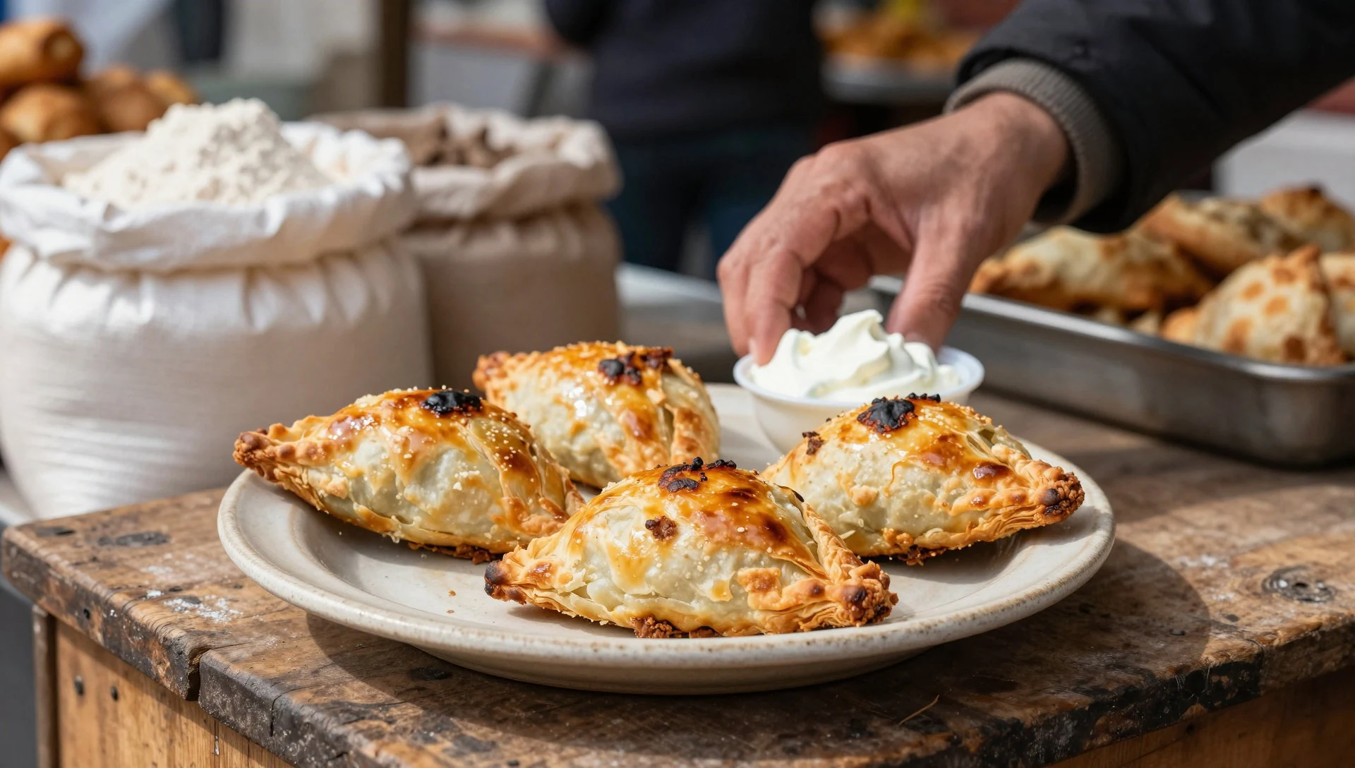
- Lagman — Mountain-area restaurants and cafes
Lagman is a hearty noodle dish with vegetables and spiced sauce, good for warming up after a cold morning. It’s a common order at mountain-area restaurants and simple cafes. - Boiled or grilled meats with bread — Guesthouses, home-style meals and small restaurants
Simple meals often revolve around bread and grilled or boiled meats, with seasonal sides. When you’re staying with a local host or stopping for a meal en route, this is a reliable, filling choice. - Green tea and seasonal fruit snacks — Tea stops at small shops, markets and roadside kiosks
Tea culture is a steady companion in the mountains—especially when the wind picks up. Pair a cup with whatever fruit or small snacks are available that day at markets or roadside kiosks.
Plan it
Best time. Based on monthly temperatures and rain, the most comfortable windows are April (avg high ~12.2°C, low ~-23.2°C) and October (avg high ~14.9°C, low ~-15.8°C), with generally light rainfall; the hottest month is August (avg high ~22.0°C) and the wettest months are March, November, and January (about 31 mm, 23 mm, and 20 mm respectively).
How long. 3–4
Getting there. Fly into Tajikistan and connect by road to the eastern Pamirs; from there, the final approach to park areas is by vehicle with local routing and guidance.
Budget. mid
Tips
- Build days around weather: wind and cloud can change visibility and road conditions quickly at altitude.
- Start early when visibility is best and temperatures are kinder, especially for long drives and viewpoint stops.
- Carry water and extra layers for delays; mountain conditions can shift even on short routes.
- Plan transport with a local operator if entering remote zones, and confirm routes before setting off.
Etiquette
- Keep to routes and don’t disturb wildlife or vegetation in protected areas.
- Ask before taking photos of people, especially in small settlements or during home visits.
- Keep noise low in quiet mountain zones where others may be travelling or working.
Nearby
Sources
- Wikidata Q3076575 (CC0)
- Wikipedia (Tajik National Park) (CC BY-SA 4.0)
- Photo photos/01-pamir-mountains-tajikistan-06-04-2008.jpg (CC BY 2.5)
- Photo photos/02-barchidiv-1.jpg (CC BY-SA 4.0)
- Photo photos/03-barchidiv-2.jpg (CC BY-SA 4.0)
- Photo photos/04-barchidiv-3.jpg (CC BY-SA 4.0)
- Photo photos/05-barchidiv-4.jpg (CC BY-SA 4.0)
- Photo photos/06-barchidiv-5.jpg (CC BY-SA 4.0)
- Photo photos/07-barchidiv-6.jpg (CC BY-SA 4.0)
- Photo photos/08-barchidiv-7.jpg (CC BY-SA 4.0)
- Wikivoyage (CC BY-SA 4.0)


