Paklenica
Paklenica, Croatia
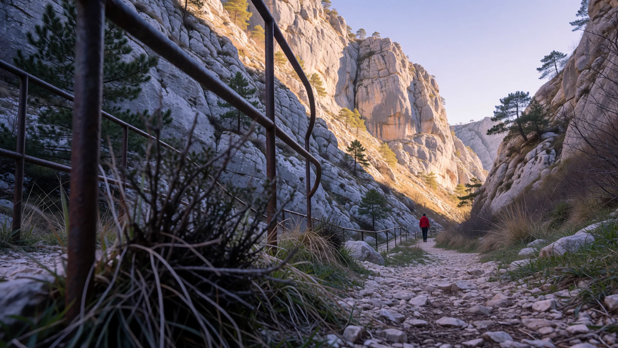
Paklenica is a rugged karst park where river canyons and bold limestone cliffs make hiking feel like stepping into another landscape.
The place
Paklenica is a national park in Croatia, tucked on the southern slopes of Velebit and close to the town of Starigrad in northern Dalmatia (not far from Zadar). It’s the kind of place where the geography does the talking: a karst river canyon system carved into limestone, plus two distinct areas known as Mala Paklenica (Small) and Velika Paklenica (Big). In practice, that means multiple hiking routes that range from easier valley walks to steeper viewpoints, with the canyon walls narrowing and widening as the terrain changes.
Seasonally, Paklenica is all about timing. Summers can be very hot, especially in the Mediterranean-style coastal conditions, and the mountainous parts feel colder up high where weather can shift faster. That heat matters on a day hike: most people feel it by midday, even if the morning starts bright. At the same time, the park’s karst landscape can make shade patchy, so a hat and water plan are as important as sturdy shoes.
There’s also a local wind to know about. In this part of Croatia, the bura can blow down from the mountains—unpleasant if you’re exposed, but it also brings in fresher air. If you’re visiting in shoulder months, the wind and cooler temperatures can make the trails more comfortable.
Crowds are usually tied to summer holiday periods and weekends. During those busier stretches, trailheads around the main valley routes feel busy, but the canyon itself still breaks the day up nicely, so the “everyone’s here” feeling doesn’t last everywhere.
Its story
Paklenica’s story starts long before there was a park sign. The South Velebit area has evidence of human presence reaching back to prehistoric times, with the landscape shaping how people lived. In the colder phases of the last ice age, it’s thought that small groups of hunter-gatherers were present somewhere in the wider Mediterranean region; as conditions changed and sea levels rose after that period, communities likely shifted to higher ground.
As the climate and coastline evolved, the earliest traces in the Velebit area include Mesolithic tools found in a cave setting under Veliko Rujno. Later, farming and herding became more important: cattle breeders and farmers brought livestock and basic agricultural knowledge, and over time shepherding and domestic animals replaced the earlier pattern of moving through food sources.
By the Bronze Age, the physical evidence becomes more “built”—fortifications and stone structures associated with Liburnian peoples. That matters for how Paklenica feels today: the terrain is dramatic, but it’s also been a lived-in corridor between inland and coastal environments for a very long time.
For visitors, the takeaway is simple: the park isn’t only about hiking and views. It’s also a place where caves, ridges and valleys were once the practical framework for survival—then later for defence and settlement—because the mountains and limestone shelter worlds have always offered both challenge and protection.
What to see
- Canyon of Paklenica (Velika/Mala routes) — Paklenica National Park valley
The main experience in Paklenica is walking through a narrow limestone canyon shaped by a river system. The walls rise close on either side in places, turning the walk into a mix of rocky ground, changing light and short stretches that feel more “wild corridor” than “park trail”.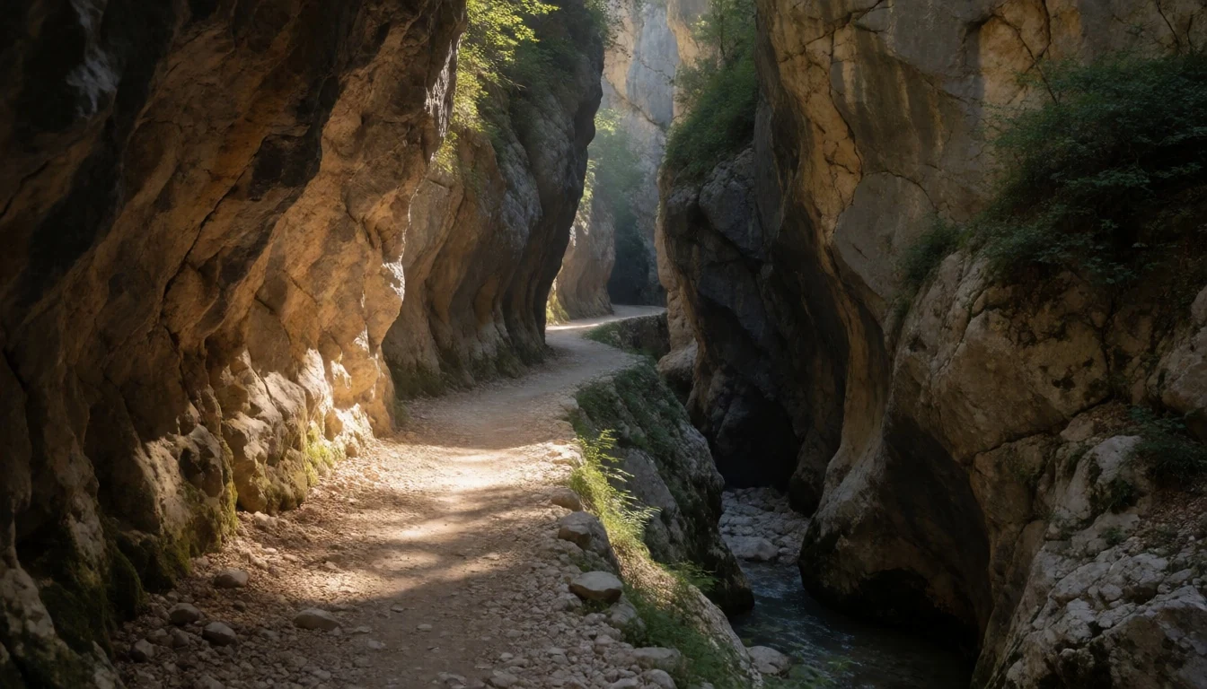
- Paklenica visitor centre area (former underground complex) — Paklenica National Park entrance area
Near the park, a former military underground complex has been repurposed for visitors, giving context before (or after) trail time. It’s a useful stop if the weather turns, and it helps place the broader human history behind the dramatic geology.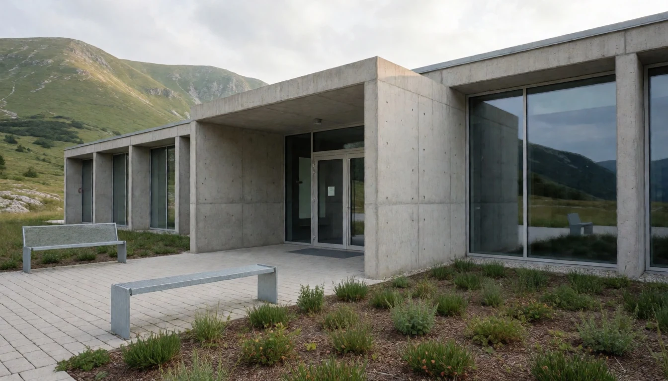
- Buljma pass viewpoints — Buljma area (upper park)
Higher up, the route to Buljma pass gives a different angle on Paklenica’s limestone theatre—less canyon focus and more open mountain views. On clear days you can pick out ridges and valleys; on windy days it feels exposed, so plan for the weather.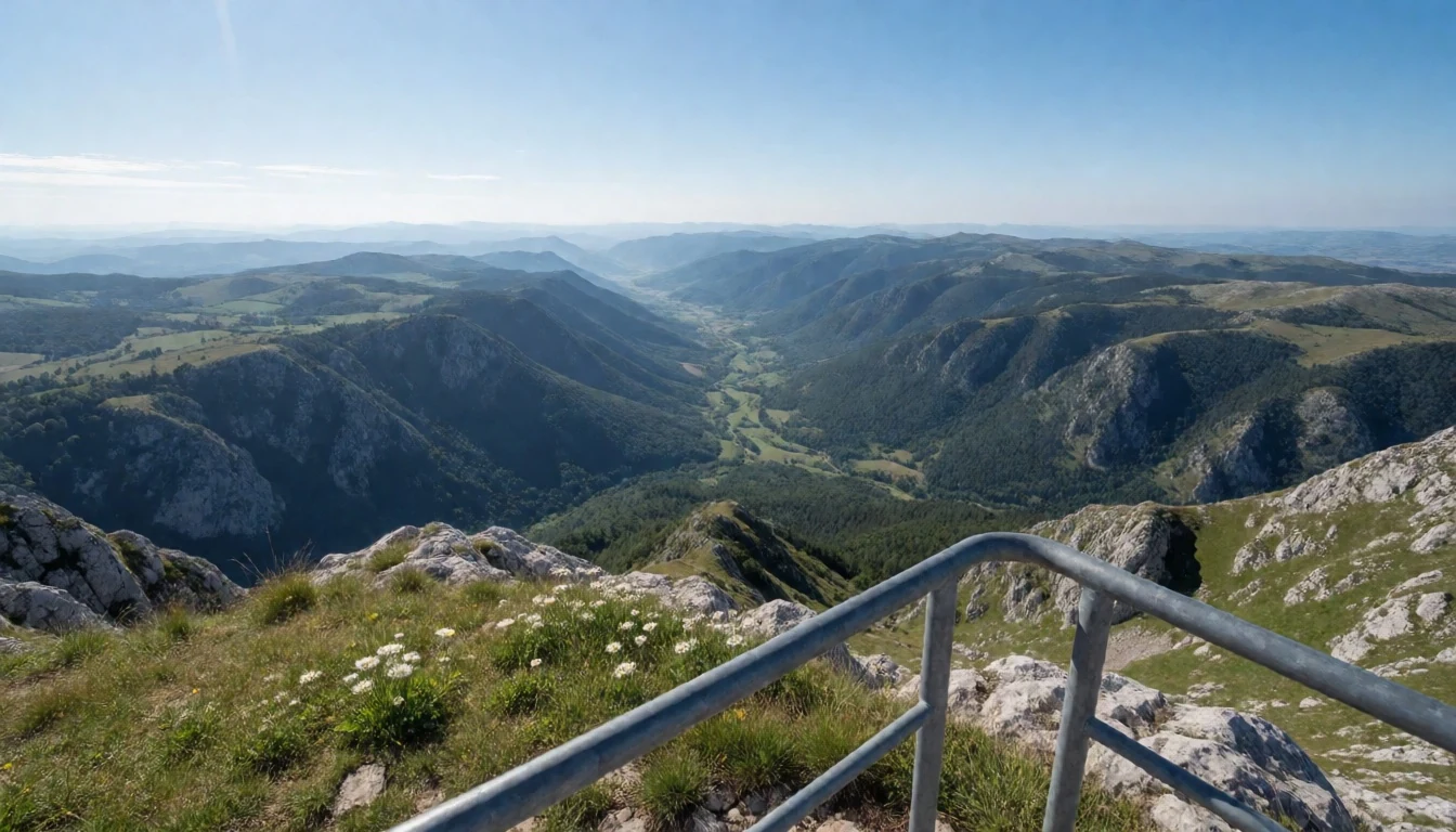
- Anica kuk (cliff/peak area) — Anica kuk area (upper routes)
Anica kuk is the name hikers associate with big vertical effort and payoff views. Reaching this zone means dealing with steeper ground and a more strenuous pace than the valley paths, but it’s one of the clearest “this is why people come here” moments in the park.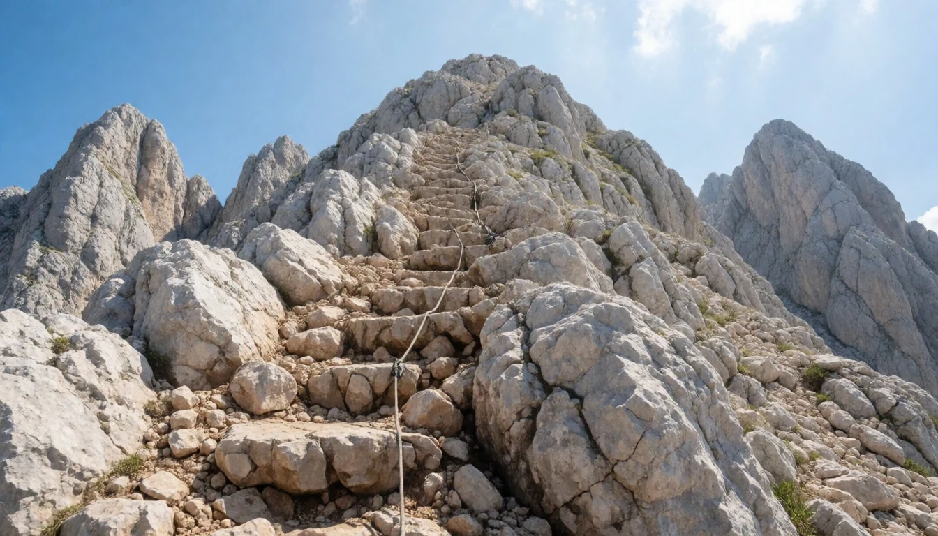
- Starigrad and the Velebit backdrop — Starigrad (coastal base) & Velebit edge
Starigrad sits close to the park and makes a good base for early starts. From the coast you get a feel for the Velebit mountain range rising inland, so the scale of the terrain becomes obvious—something you appreciate once you’re on foot in the park.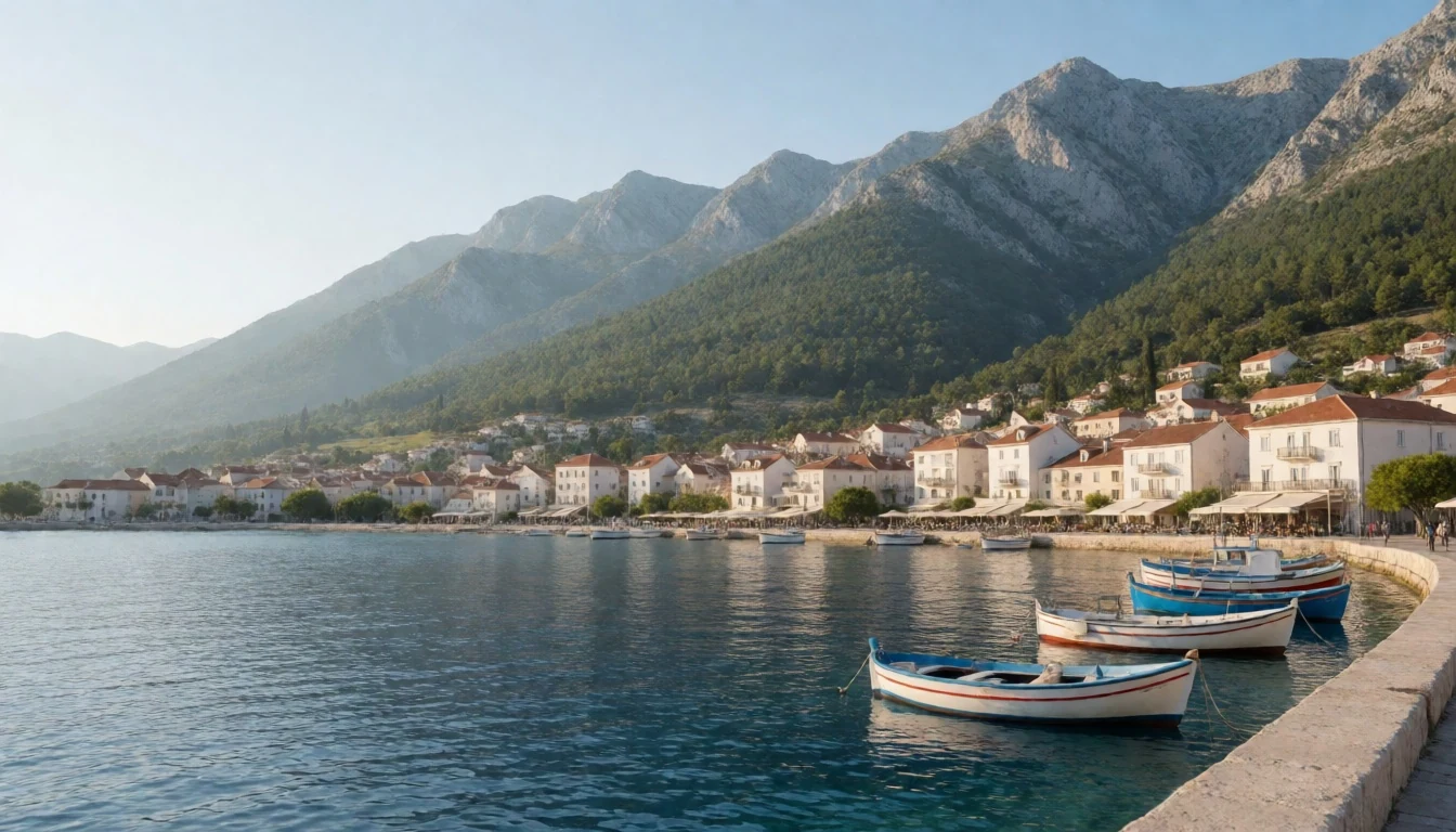
Culture
Paklenica is set in Croatia, and day-to-day behaviour matters most around sensitive topics and how you speak about the region’s recent history. Croatia’s independence came after a turbulent era in the former Yugoslavia, and the country still treats those decades as emotional. The safest approach is to keep conversations respectful, avoid sharpening stories into arguments, and follow local cues if someone seems uncomfortable.
Language also comes up. “Croatian” is the normal term people use, and some references to the language as “Serbo-Croatian” can land badly with locals. If you’re unsure, stick to what people call it in their own country and don’t use outdated political labels.
Finally, Croatia’s diversity of influences—Greek, Roman and later empires—means you’ll see layered cultural habits across regions. In coastal towns near the park, you’ll usually find locals used to international visitors, but the general rule is the same: be tactful, don’t treat contemporary identity topics as trivia, and keep things friendly.
Visitor-etiquette: when history or identity is mentioned, stay neutral, don’t joke about conflict, and let locals lead the depth of the conversation.
What to wear
Paklenica is a mountains-and-trails day, so clothing is mostly about footing and weather rather than style. The traditional dress in Croatia is usually regional and varies by area: you’ll see detailed folk costumes with embroidered pieces and structured textiles used in celebrations rather than everyday wear. In the hills and coastal communities, folk styles are often worn at festivals, with seasonal layers and heavier fabrics when it’s cooler.
What visitors actually wear in Paklenica is straightforward: breathable tops, trekking trousers (or leggings plus a layer if the wind picks up), and a light rain shell because conditions can turn in mountainous areas. Footwear should be proper hiking shoes or boots with grip; the canyon approaches and cliffier paths are not the place for soft-soled sandals.
Weather-wise, summers can be very hot and exposed sections can feel intense, while the higher areas can be colder. So pack a sun layer (hat or cap, sunglasses) and a warm layer for the upper routes. If it’s breezy—especially with bura feeling strong—add a wind-resistant outer layer. For most trail areas, avoid anything restrictive; the best “fit” is the one that lets you move comfortably over uneven limestone ground.
What to eat
- Kulen (spicy sausage) / kulen-based bites — food markets across inland Croatia
In Croatia’s continental regions, spicy sausage like kulen is a common flavour to seek out. Look for it at food markets and regional stalls where cured meats are sold and sampled, often paired with simple bread.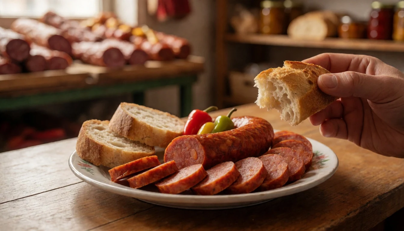
- Čobanac (shepherd’s stew) — local restaurants serving regional Croatian cuisine
Čobanac is a hearty stew made from several meats with a generous red pepper taste. When you’re hungry after a long hike, it’s the sort of warming dish that tends to show up at local eateries that do regional specialties.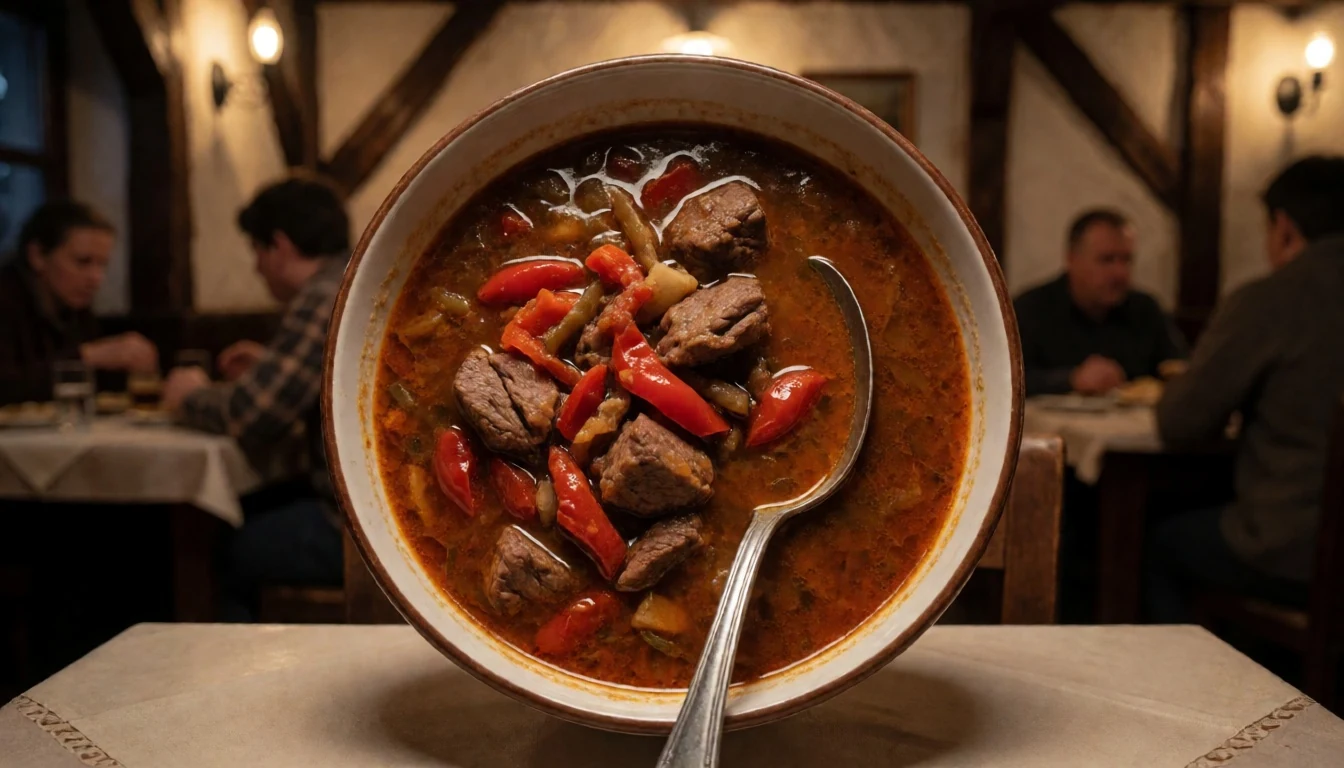
- Štrukli (cheese-filled pastry) — traditional eateries and bakery-style counters
Štrukli is a cheese-filled pasta or pastry dish, especially associated with Hrvatsko Zagorje and central Croatia. It’s the kind of comfort food you’ll find at bakeries or restaurants offering traditional regional plates. - Piroška (small fried pastries with filling) — streets and markets, especially where local snacks are sold
Piroška are small stuffed pastries with a crisp outside, often linked with the love of oil and rich fillings. They’re typically available as street snacks or at market food sections. - Lika & Gorski Kotar mountain dishes (mushrooms, wild berries, game) — mountain-region restaurants and seasonal menus
In mountainous areas, meals often feature mushrooms, wild berries and game meat. If you’re basing near the park, ask locally what’s seasonal and you’ll usually get a menu that reflects the surrounding forest and uplands. - Sir i vrhnje (cottage cheese with sour cream) — Dolac-style main markets (ask for dairy counters)
Sir i vrhnje is a simple combination of cottage cheese with sour cream. It’s the sort of fresh dairy dish that tends to be easiest to spot where local produce and dairy are sold openly.
Plan it
Best time. Late spring (March–April) and autumn (October–November) are the best bet because summers can get very hot in Croatia and mountainous areas are colder and wetter higher up.
How long. 3–4
Getting there. Fly into Zadar for the closest approach to Starigrad, then drive or take local connections for the last stretch to the park area; the final leg is by road from the coastal towns.
Budget. mid
Tips
- Plan canyon hikes for morning hours to avoid the strongest heat.
- If a bura wind picks up, expect it to feel unpleasant on exposed sections—adjust routes accordingly.
- Bring water and sun protection; limestone paths can be bright and unforgiving.
- Use layers: lower valleys feel warmer, while higher viewpoints can feel colder even in fair weather.
- Check the park’s official site before setting off for trail and visitor information.
Etiquette
- Stay on marked trails and respect any seasonal route closures—karst terrain can be fragile.
- Keep voices down in enclosed canyon sections so other hikers can enjoy the soundscape.
- In sensitive historical conversations, keep your tone respectful and avoid political labels.
Nearby
Sources
- Wikidata Q732723 (CC0)
- Wikipedia (Paklenica) (CC BY-SA 4.0)
- Wikivoyage (Croatia) (CC BY-SA 4.0)
- Photo: Canyon of Paklenica (CC BY 3.0)
- Photo: Paklenica visitor area (former underground complex) (CC BY-SA 2.0)
- Photo: Paklenica Buljma (CC BY 3.0)
- Photo: Anica kuk (cropped) (CC BY-SA 4.0)
- Photo: Starigrad and Velebit (CC BY-SA 1.0)


