Niokolo-Koba National Park
Niokolo-Koba National Park, Senegal
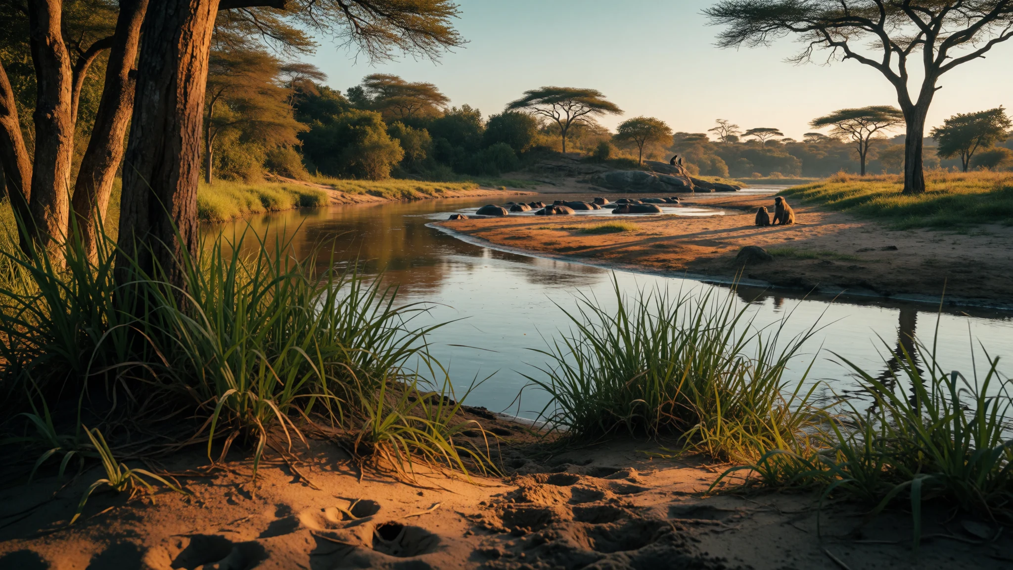
Niokolo-Koba is a vast Senegalese wildland near the Guinea border, where river corridors and woodland savannah meet.
The place
Located in southeastern Senegal near the Guinea border, Niokolo-Koba National Park is accessed via Niokolo-Koba Airport, which has an unpaved airstrip. It’s a protected area spread across uplands, stitched together by vegetation that changes from drier woodland savannah to greener pockets that hold water.
The park’s geography is a big reason people remember it. The upper stretch of the Gambia River runs through the landscape towards the northwestern direction, and that river-and-wetland influence creates the park’s rhythm: open country where eyes spot movement at distance, then sudden, shaded patches where birds call and animals gather near damp ground. Niokolo-Koba covers about 9,130 km and stretches in a long arc from the upper Casamance area towards the Tambacounda Region, reaching to within about 100 km of the Guinean border in the southeastern corner of Senegal.
Elevation also shifts the mood. Terrain ranges from low uplands to higher ground, roughly from 16 m up to 311 m, so even within a single day the light can feel different—hotter on exposed tracks, cooler where there’s tree cover and seasonal wetlands. The habitat mix supports woodland savannah and semi-arid Soudanese forest, with gallery forest along wetter areas and seasonal wetlands farther out. Over the long view, that diversity is what turns a drive into something more like moving through a series of mini-environments.
As a UNESCO World Heritage Site and a national park, Niokolo-Koba is also one of Senegal’s most serious wildlife destinations—less about neat viewpoints, more about patience, boots, and the chance of seeing animals where they actually live.
Its story
Niokolo-Koba National Park feels like it’s been designed for slow travel: long tracks, long silences, and then a sudden flare of life when the light changes. The park’s story is written by water and vegetation—woodland savannah stretching out until the landscape softens into gallery forest and wet pockets. That gradient matters, because wildlife is rarely evenly distributed. It gathers where there is food, cover, and the right humidity.
In the park’s upland setting, the Gambia River’s upper course shapes movement patterns. On drier stretches, you’re more likely to notice signs first: fresh hoof prints, scraped ground, or bird calls that suddenly intensify. Then, near seasonal wet areas and wooded edges, the tone shifts. Tracks become obvious, and the air feels greener and heavier, as though the whole ecosystem is holding its breath.
Niokolo-Koba is known for wildlife variety. Mammals include buffaloes, hippopotamuses, eland, elephants, lions, chimpanzees, and waterbuck, with other smaller antelope and primates moving through the mosaic of forest and open woodland. Birdlife adds to the atmosphere, with hundreds of species recorded, and a whole cast of raptors and ground birds that make morning drives feel like a rolling checklist.
Even with all that potential, the reality on the ground is never guaranteed. Heat can flatten sound and reduce activity mid-day, and some of the best encounters come early. What stays consistent is the feeling of being inside a living system—guided by habitat, weather, and the simple fact that animal behaviour decides the itinerary more than any human plan.
What to see
- River corridor viewpoints and crossings — River corridor areas linked to the Gambia River
Niokolo-Koba’s water influence shows up along the Gambia River upper stretch. The landscape opens near water, then folds back into wooded edges where animals linger at dawn or late afternoon, and birds become louder.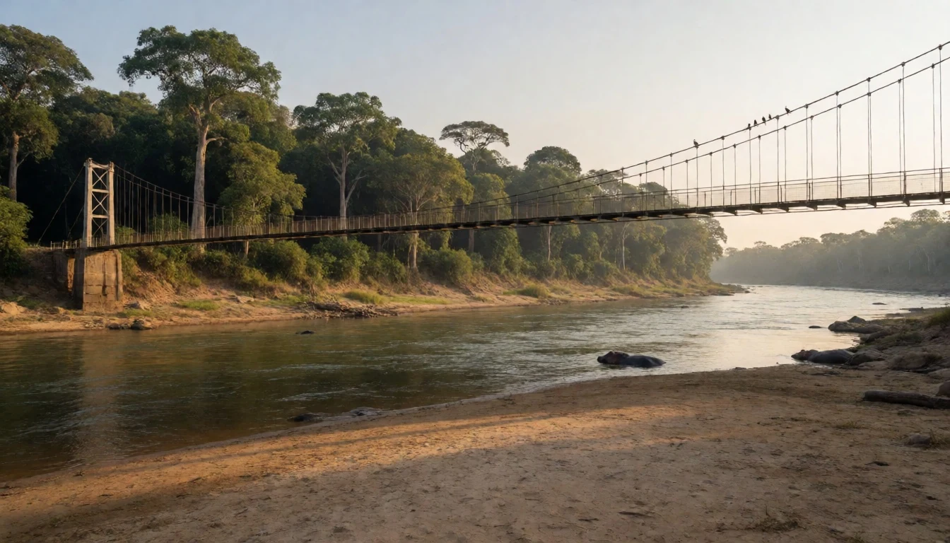
- Woodland savannah edges — Woodland savannah belt across the park
Where woodland savannah meets the drier edges of the reserve, visibility can be good and movement is easier to spot. It’s often warm, dusty, and bright, so use shade when there is any and keep an eye on ground-level paths.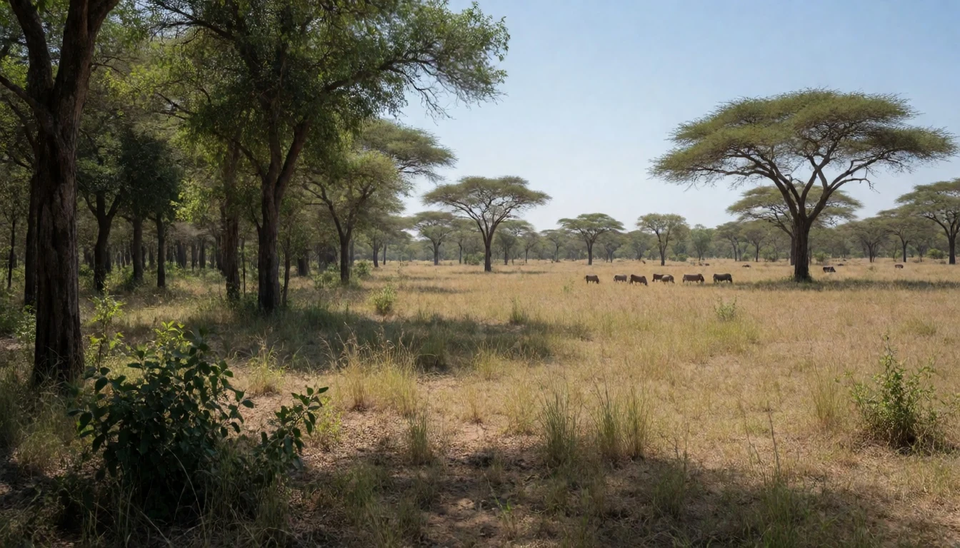
- Gallery forest and wet pockets — Gallery forest strips and seasonal wet areas
Gallery forest lines wetter strips, making cooler microclimates inside a landscape that can otherwise feel dry. Wet pockets and seasonal wetlands tend to draw activity, with birds and primates more noticeable when light slants through leaves.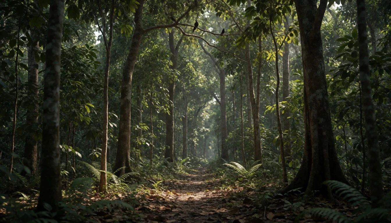
- Tracks, trails and reading the ground — Ground-level paths near habitat transitions
Niokolo-Koba rewards attention to small signs: droppings, disturbed soil, claw marks on trees, or flattened grass. A slow walk along appropriate tracks can reveal what passed earlier, especially near water where animals keep returning.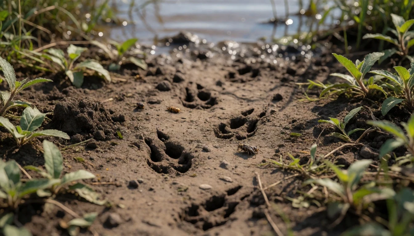
- Large-animal chances at water — Water-associated areas in the park
When wildlife moves, it often converges around damp places and drinking points. At dawn or as the day cools, the chances of seeing larger mammals rise—watch for movement at the edges before they step into open ground.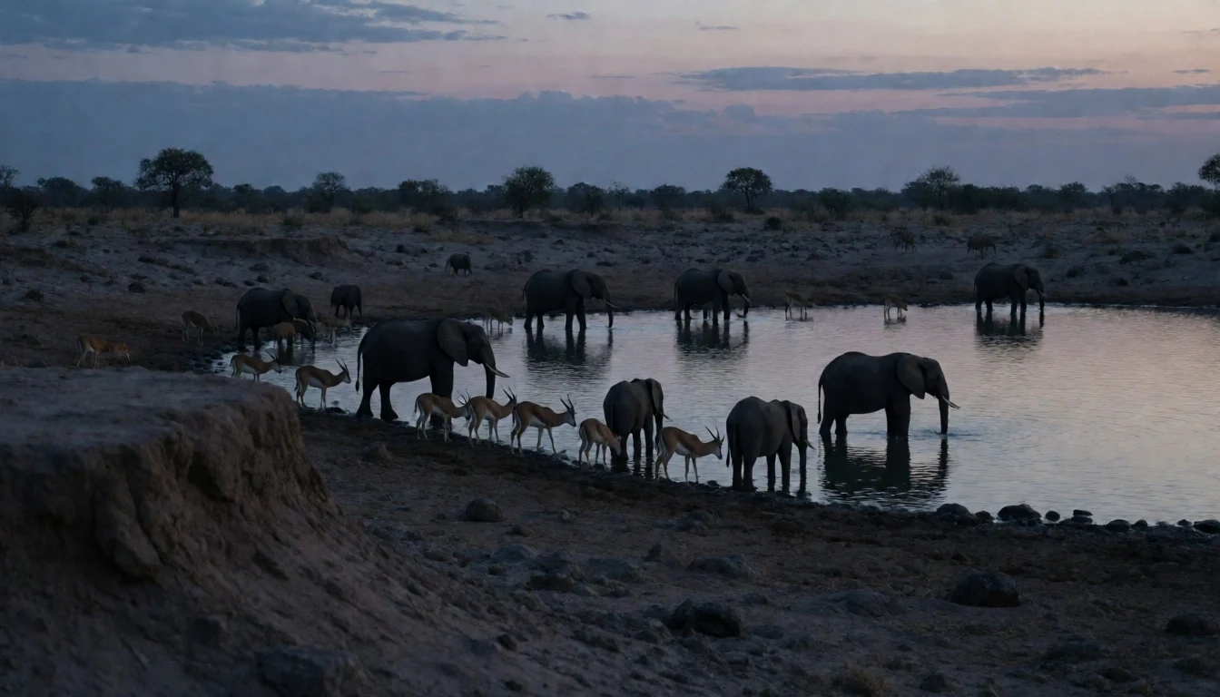
Culture
Niokolo-Koba National Park is a wildlife-first place, and the culture around it is largely about respecting animals, the land, and the people who know how to move through it. Expect a slower pace than city travel: you’ll be reliant on local guidance, with time spent listening to the landscape as much as scanning for sightings.
The practical side matters. In a park with woodland savannah, seasonal wetlands, and gallery forest, footwear and patience go hand in hand—mud, dust, and heat are part of the deal. Photography is welcome, but animals should never be approached in a way that disrupts behaviour, and drives or walks should follow the routes and rhythms set by guides.
Because wildlife viewing is often about distance and timing, noise discipline helps everyone: loud calls or sudden movements can push animals out of view. Also, remember that this is Senegalese terrain where local communities may be near the edges of protected areas, so treat encounters with locals with the same calm respect used for wildlife.
Visitor etiquette: keep to the guided route, stay calm and quiet, and avoid chasing animals with vehicles or footsteps.
What to wear
Traditional dress across Senegal varies by community, and in the Niokolo-Koba region you’ll commonly see light, breathable garments suited to warm days. Visitors may notice flowing fabric like boubous (long tunics) and wrap-style clothing, typically worn for everyday life and ceremonies, because the silhouettes handle heat and movement well.
In practice, many people now wear a mix of traditional and modern clothes: T-shirts and lightweight trousers for daily tasks, plus traditional outfits for events or visits. For forest and savannah conditions around the park, comfort tends to win—simple, breathable layers and clothes that can take dust.
What to wear as a visitor depends on the season, but the safe baseline is: lightweight long trousers (for sun and insect protection), a breathable shirt, a hat or cap, and closed-toe shoes with grip for uneven ground. For river-adjacent wet spots, quick-dry fabric helps, and a spare pair of socks can be a lifesaver. Avoid flashy colours if there’s a chance of wildlife viewing from a vehicle or on foot, and carry a light layer for early starts when the air can feel cooler before the day heats up.
What to eat
- Grilled fish by the Gambia River — River towns and local eateries near the park
Along river towns and stopovers connected to the Gambia River area, grilled fish often appears on menus. It’s an easy, filling option for travel days when appetites vary with heat and wildlife watching schedules.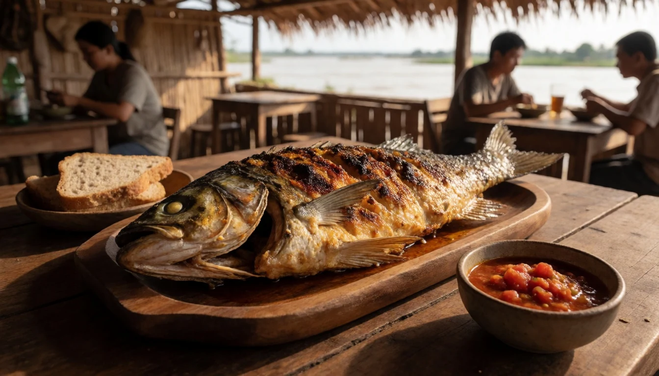
- Chicken yassa — Roadside eateries and casual restaurants
Chicken yassa is a common Senegalese flavour combination of marinated chicken with onions and a tangy sauce. It tends to show up at informal restaurants and larger roadside eateries when travellers want something reliable after a long drive.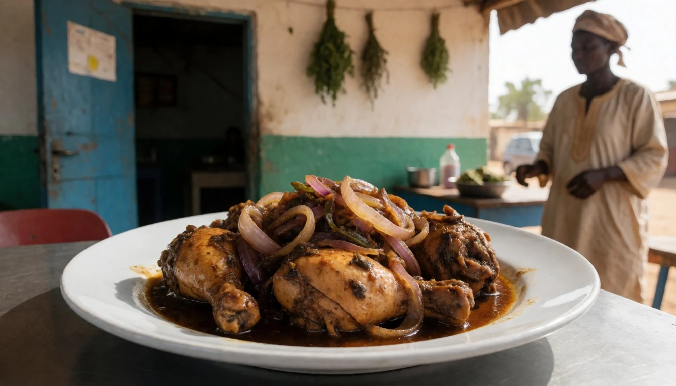
- Thiebou jen (rice and fish) — Local restaurants serving Senegalese set meals
Thiebou jen is a signature dish built around rice with fish and vegetables in a spiced sauce. In Senegal, it’s often served in homestyle settings and busier communal places rather than quick snacks. - Maafe (peanut stew) — Market-side restaurants and neighbourhood eateries
Maafe is a peanut-based stew that can include meat and vegetables, with a thick, comforting texture. It’s useful after early morning outings when temperatures shift and a hearty bowl feels good. - Fresh fruit and sweet tea — Roadside stalls and small shops during travel days
Between drives, look for simple fruit plates and sweet tea offered by roadside stalls or small shops. It’s a practical way to refuel without committing to a full meal when plans change with sightings.
Plan it
Best time. March–April and October–November are the driest and among the coolest months, so they’re usually the most comfortable times for long drives and early starts. The rainy season runs from May into September, with the heaviest rain in August, and the hottest months are June–August.
How long. 3–4
Getting there. Fly into the region using Niokolo-Koba Airport (an unpaved airstrip), then connect by road to lodges and viewing areas around the park’s Gambia River corridor and upland habitats.
Budget. mid
Tips
- Plan for early starts: animal activity often makes the coolest hours worthwhile.
- Work with local guides who can read habitats, because sightings depend on season and water levels.
- Pack for dust and sun as well as wet pockets: lightweight long layers plus a spare layer helps.
- Bring small cash for everyday items on the road; card payment can be inconsistent away from towns.
- Keep water and simple snacks handy between stops so long waits don’t turn into hard days.
Etiquette
- Stay on the guided route and avoid pushing into cover just to get closer to animals.
- Keep voices low and movement smooth when wildlife is present.
- Take photos from a respectful distance and do not surround animals with vehicles.
Nearby
Sources
- Wikidata Q679891 (CC0)
- Wikipedia (rev 1379252560) (CC BY-SA 4.0)
- Wikivoyage (rev 4669983) (CC BY-SA 4.0)
- Photo photos/01-loves2020africa-20.jpg (CC BY 3.0)
- Photo photos/02-parc-de-niokolo-koba-s-n-gal-cod260725-011.jpg (CC BY-SA 4.0)
- Photo photos/03-warthog-niokolo-koba.jpg (CC BY 2.5)
- Photo photos/04-parc-de-niokolo-koba-s-n-gal-cod260725-121.jpg (CC BY-SA 4.0)
- Photo photos/05-parc-de-niokolo-koba-s-n-gal-cod260725-101.jpg (CC BY-SA 4.0)
- Photo photos/06-a-curious-and-wet-guinea-baboon-in-the-wild.jpg (CC BY-SA 4.0)
- Photo photos/07-abeille1a.jpg (CC0 1.0)
- Photo photos/08-abreuvoir-la-r-serve-de-guembeul.jpg (CC BY-SA 4.0)


