Negros
Negros, Philippines
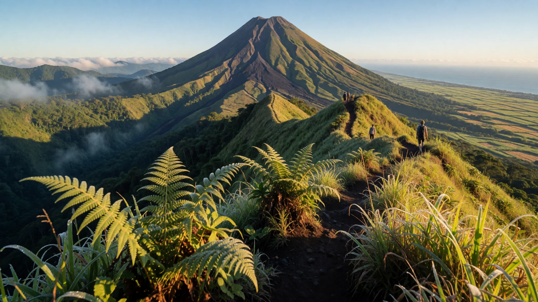
Explore volcanic peaks, preserved sugar-era mansions and rich marine reserves on one of the Philippines' most diverse islands.
The place
Negros sits in the central Visayas, shaped by volcanic soils, mountain ranges and long coastal strips facing emerald waters. As home to over four million residents, the island supports a bustling rhythm across two distinct provinces while maintaining pockets of quiet countryside and dense forest reserves. Volcanic activity long ago enriched the earth, turning the lowlands into vast, rustling fields of sugarcane that have defined the agrarian landscape for generations. Along the coasts, fishing communities look out toward marine passages recognised for exceptional biodiversity within the wider Coral Triangle.
The terrain rises dramatically toward the interior, where jagged ridges and semi-active volcanic cones dominate the skyline. Rivers carve through deep green valleys before emptying into coastal mangrove fringes and sandy shores. Towns vary from lively commercial hubs to quiet coastal settlements where life moves at the pace of the local tide. Visitors travelling across the island experience a shifting landscape of upland forests, heritage streetscapes and busy public markets that reflect the daily routines of the local inhabitants, known as Negrenses.
While infrastructure connects the major population centres easily, reaching the more secluded waterfalls, crater lakes and offshore reefs requires time and patience. The island rewards independent travellers willing to look beyond standard itineraries, offering an authentic glimpse into provincial Filipino life away from mass tourism corridors. Whether you are walking through shaded heritage districts or gazing up at misty upland peaks, Negros presents a landscape where agriculture, natural beauty and local traditions intertwine closely.
Its story
Long before foreign vessels reached its shores, the island was known as Buglas, a term rooted in a local word thought to mean cut off, reflecting local beliefs that the landmass had once separated from a larger territory. Early inhabitants included aboriginal groups such as the Ata people, whose forest-dwelling culture preceded the arrival of coastal polities. Over subsequent centuries, western coastal settlements fell under the influence of regional powers based on neighbouring islands, while eastern communities maintained commercial and political ties across the strait.
Spanish arrivals in the sixteenth century encountered dark-skinned native populations along the coasts and subsequently named the land after them. Early colonial administration placed the settlements under distant jurisdictions before establishing military districts and shifting capitals as the interior was explored and pacified. The nineteenth century brought an economic transformation driven by large-scale sugarcane cultivation. Wealthy landowners built grand ancestral mansions, particularly in northern hubs like Silay, turning sugar into the economic lifeblood of the region.
Political boundaries shifted repeatedly across the decades, with administrative regions created, dissolved and reconstituted as local governance evolved. Throughout these changes, the island's identity remained tied to its agricultural roots and the resilience of its working communities. Today, historical layers from precolonial indigenous life through Spanish colonisation and the sugar boom remain visible in local architecture, language, and cultural celebrations held across the provinces.
What to see
- Kanlaon Volcano — Northern Negros Occidental
Rising sharply in the north, this semi-active peak is the highest point in the Visayas. It draws experienced hikers with rugged trails and sweeping views, though shifting alert levels and volcanic activity frequently restrict access to the summit ridge. Always check local safety advisories before planning any trek.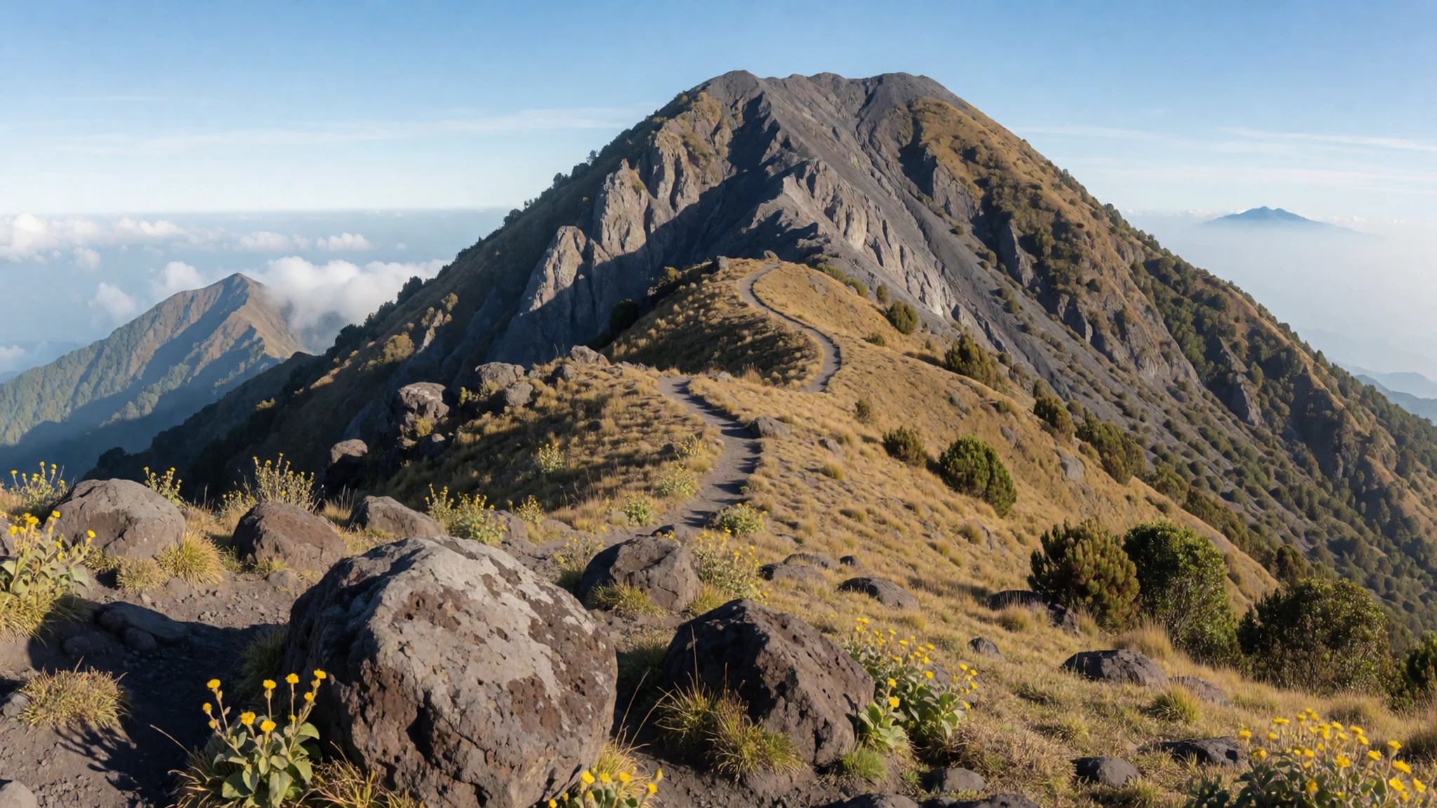
- Silay Heritage District — Silay City
Known as the cultural capital of the region, this town preserves around thirty ancestral houses from the nineteenth-century sugar boom. Walk along quiet streets to tour restored estates such as Balay Negrense, which offers an intimate look at the domestic lives of wealthy plantation owners.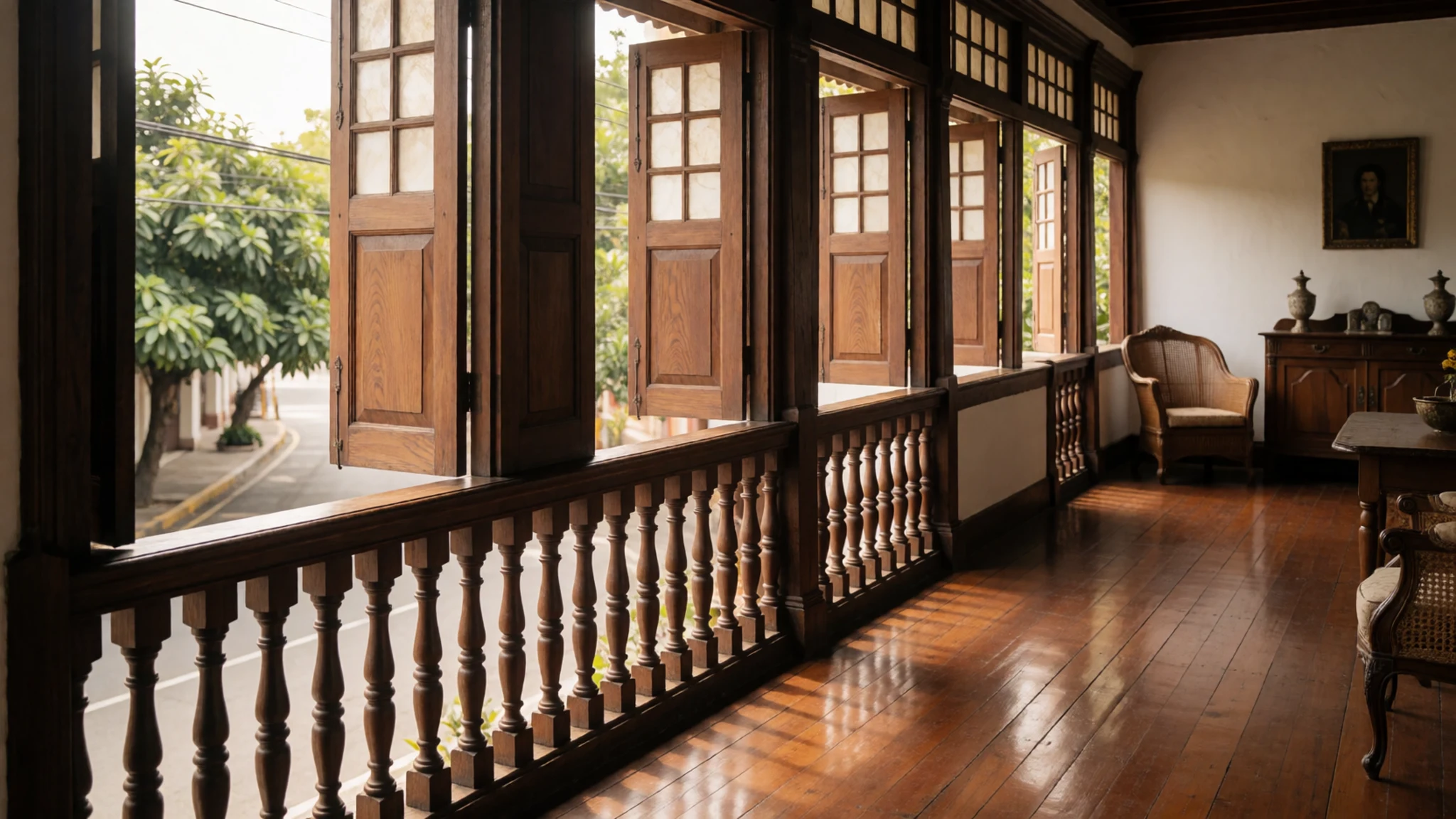
- Balinsasayao Twin Lakes Natural Park — Negros Oriental
Tucked high in the southern mountains, these two deep crater lakes are surrounded by lush, protected forests. A paved winding road leads up from the coast, bringing visitors to tranquil waters where native bird species thrive and small wooden boats are available for hire.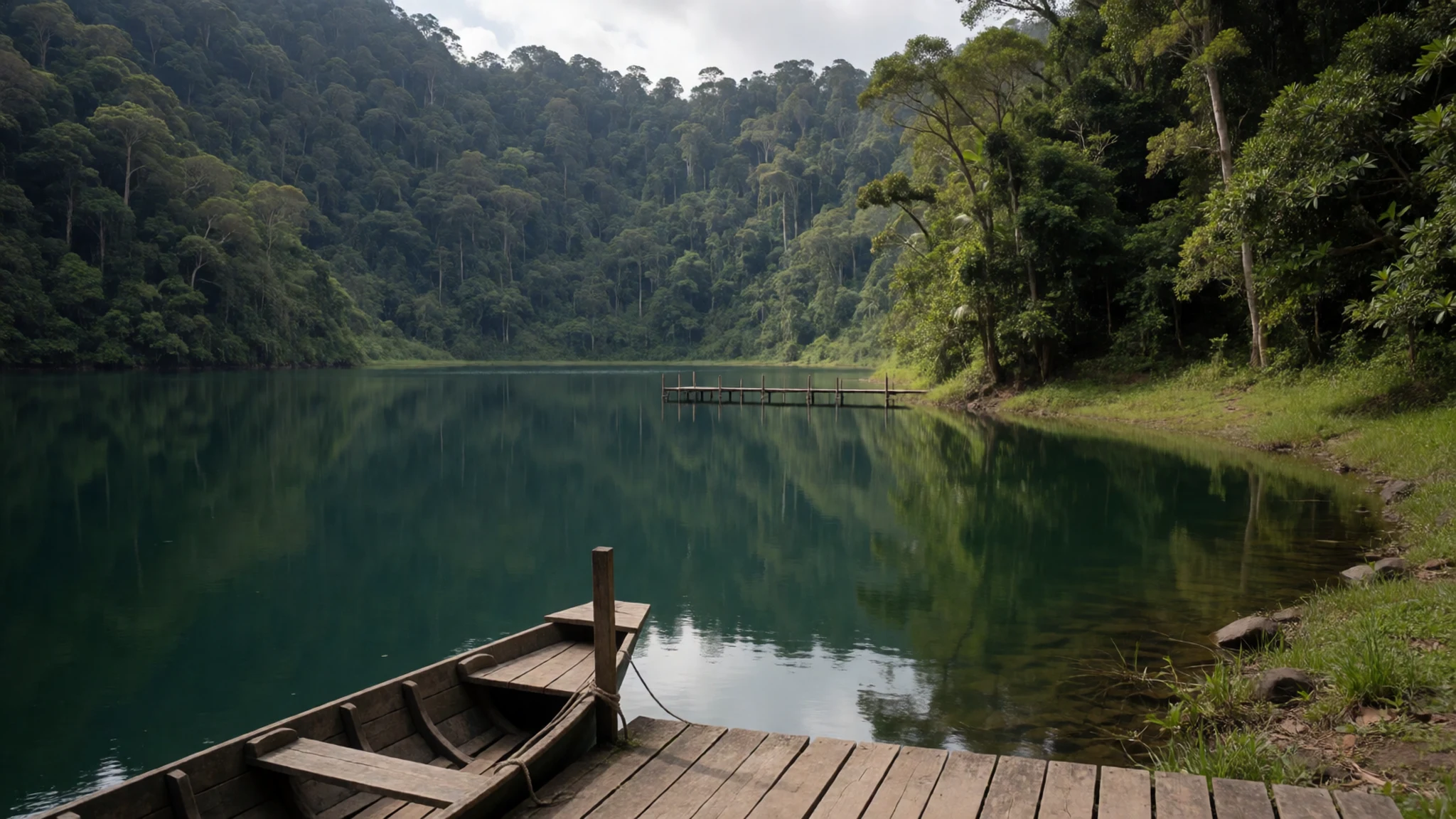
- Apo Island Marine Reserve — Southeastern coast near Dauin
Located just off the southeastern shore, this small volcanic island is celebrated worldwide for its thriving coral gardens and resident sea turtles. Day visitors arrive by local outrigger boat from Dauin to snorkel or dive in clear waters protected by community conservation efforts.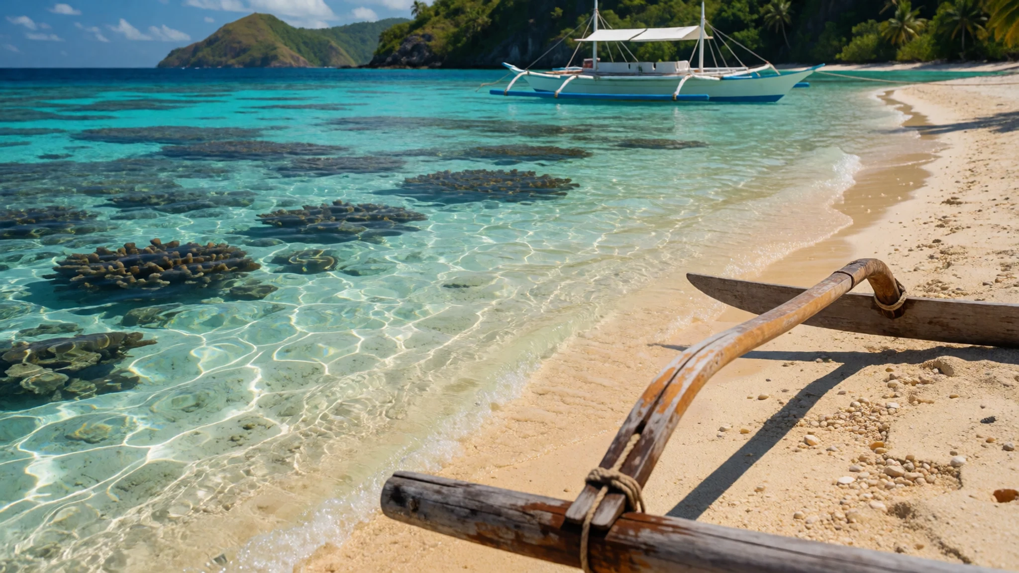
- Casaroro Falls — Valencia, Negros Oriental
A dramatic waterfall plunging deep into a rocky gorge near Valencia. The trail requires a steady trek down stone steps and boulder-strewn paths alongside the river, making sturdy footwear essential, particularly after tropical rainstorms have slicked the terrain.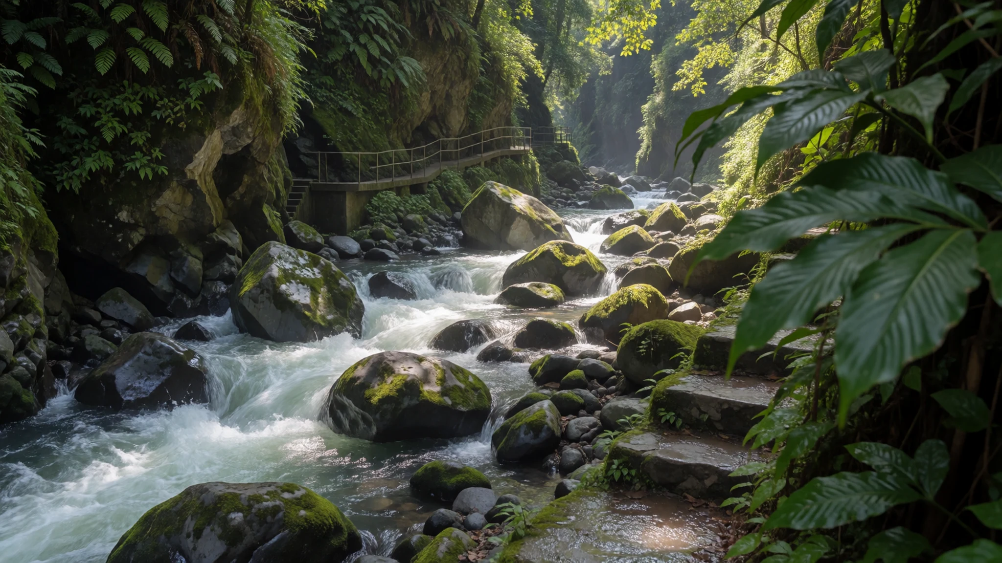
Culture
Culture here is deeply rooted in community life, agricultural rhythms, and vibrant regional celebrations. The island's culinary fame and festive spirit culminate each October during the MassKara Festival in Bacolod, where streets fill with dancers wearing smiling masks in a display of resilience and joy. Music, storytelling and communal dining form the bedrock of daily interactions. Hospitality is warm and unpretentious, with neighbours frequently gathering to share meals or assist with community projects. Respect for elders and local customs remains paramount across both urban centres and rural barangays. When visiting churches, ancestral homes, or rural communities, dress modestly and always ask permission before taking photographs of local residents.
What to wear
Traditional attire across the island historically reflected practicality in a tropical climate, utilising lightweight natural textiles woven from local plant fibres for everyday wear, while formal occasions called for embroidered barong tagalog shirts and stiff Maria Clara dresses influenced by Spanish styles. Today, everyday urban wear in hubs like Bacolod and Dumaguete mirrors modern global casual fashion, with young people wearing t-shirts, denim jeans and trainers for university and work. For visitors exploring the region, lightweight, breathable cotton clothing and comfortable walking shoes or sandals are essential to combat the tropical heat and humidity. Modest attire covering shoulders and knees is recommended when visiting churches, heritage sites, or conservative rural villages.
What to eat
- Chicken Inasal — Local roadside grills and Bacolod food parks
The island's signature dish features chicken quarters marinated in calamansi, lemongrass, and vinegar, then basted with achuote oil while char-grilled over hot coals. It is traditionally served with garlic rice and dipped in soy-vinegar sauce.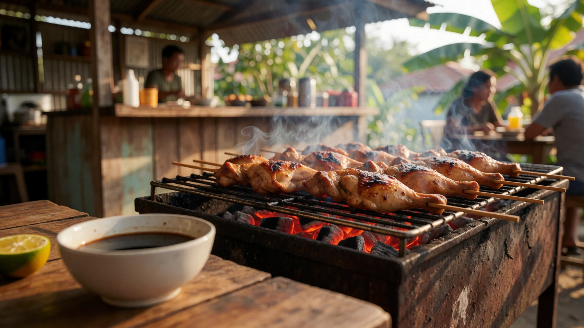
- Napoleones — Bakers and pastry shops throughout Silay and Bacolod
A delicate pastry consisting of multiple flaky layers of puff pastry filled with a rich custard cream, topped with a sweet sugar glaze. This beloved treat is packaged in boxes across heritage bakeries.
- Carinderia Homestyle Dishes — Local neighbourhood eateries and market alleys
Small, open-front eateries serving freshly cooked local stews, vegetable dishes, and fried fish displayed in metal pots. Dishes rotate daily depending on fresh morning market availability, eaten simply over steamed white rice. - Fresh Seafood — Seaside restaurants and coastal fish markets
Coastal towns offer an abundance of freshly caught fish, squid, and shellfish, typically prepared as sour sinigang soup, grilled over coals, or simmered in coconut milk with local chillies and ginger. - Kansi — Speciality soup houses and local eateries in Bacolod
A comforting sour and savory soup combining beef shank and marrow with batuan, a local souring fruit that gives the broth its distinctive tangy flavour, complemented by lemongrass and chillies.
Plan it
Best time. January to May offers the driest weather for exploring beaches and hiking trails, while June to December brings monsoon rains and higher humidity.
How long. 4–5
Getting there. Fly into Bacolod-Silay Airport or Dumaguete Airport from Manila or Cebu, or take a ferry from neighbouring islands such as Cebu, Panay, or Siquijor.
Budget. mid
Tips
- Start early for morning market visits and upland hikes before afternoon heat sets in
- Carry cash in smaller Philippine Peso denominations for rural transport and local eateries
- Avoid driving on unlit rural roads after dark due to livestock and poor road surfaces
- Check current volcanic alert levels before attempting any treks near Kanlaon Volcano
- Book heritage accommodations in advance as boutique options in places like Silay are limited
Etiquette
- Remove footwear when entering traditional homes or sacred indoor spaces
- Ask permission before photographing local residents or indigenous community members
- Show respect during local religious processions and community gatherings
Nearby
Sources
- Wikidata Q212777 (CC0)
- Wikipedia (CC-BY-SA 4.0)
- Wikivoyage (CC-BY-SA 4.0)