Nanga Parbat
Nanga Parbat, Pakistan
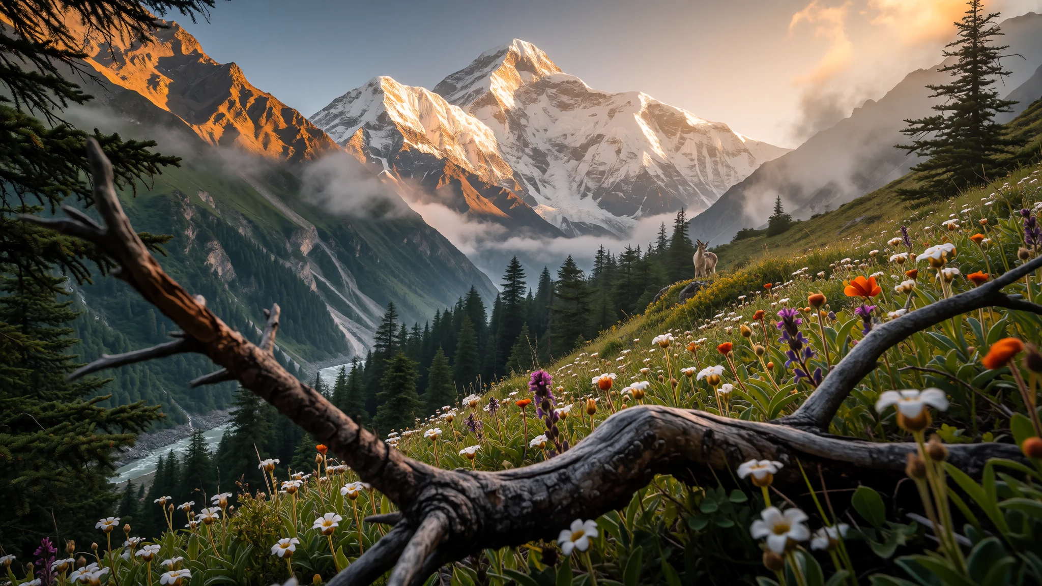
Nanga Parbat stands as the westernmost giant of the Himalayas, offering a profound, rugged base-camp experience far from the usual trails.
The place
Nanga Parbat sits as the western anchor of the Himalayan range, located in the Gilgit-Baltistan region of Pakistan. The peak is the ninth-highest mountain on Earth, reaching 8,126 m. Locals in the Shina language call it Diamer. It is unique for its sheer vertical rise, which makes it one of the most prominent peaks globally, rivaling Mount Everest in this specific measure. The mountain faces the Indus River, which winds close to its base. This proximity to a major river creates dramatic scenery, but it also contributes to the mountain's difficulty. The rapid freezing and thawing of the river leads to landslides and avalanche danger. Nanga Parbat is the westernmost of the eight-thousanders, marking a distinct geographic boundary for mountaineers. The region around the peak is part of Nanga Parbat National Park. Here, the landscape shifts from deep, green valleys to high-altitude deserts. The climate is harsh, with cold winters and strong winds. For a visitor, the mountain represents the physical challenge of the region. It is not a peak for casual sightseeing from a comfortable balcony. Access requires a journey through deep valleys and over challenging road networks. The mountain's presence dominates the horizon for hundreds of kilometres. Those who visit the area often stay in Gilgit or Skardu, using these towns as gateways. The trail to Fairy Meadows, a key viewing point, takes several days. This trek involves crossing high passes and sleeping at base camps. The experience is one of raw, unfiltered mountain life. The story of Nanga Parbat is also one of human endurance and tragedy, as detailed in its history.
Its story
The history of Nanga Parbat is inseparable from the treachery of its terrain. The peak has earned the nickname 'Killer Mountain' due to the high number of fatalities it has claimed over many decades. Early climbs in the 1950s were difficult and led to the deaths of several famous alpinists. Some climbers completed the first ascent from the Rupal side, a route that required navigating a nearly vertical ice wall. Other attempts took place from the Diamir side, which offered slightly less technical but still severe conditions. British mountaineer Joe Brown and Hermann Buhl are among the many who faced the mountain's wrath. The mountain's growth rate has made it a subject of geological interest. According to Guinness World Records, it is the fastest-growing mountain, rising approximately 7 mm per year. This constant tectonic activity contributes to its instability. In the 1960s, the mountain hosted a film production, which led to additional deaths from avalanches. This incident reinforced the mountain's reputation as a deadly place. For modern visitors, the history serves as a constant reminder of the conditions. The mountain does not change its character for the sake of tourists. The stories of those who have fallen are part of the landscape. They are often referenced by local guides and experienced climbers. The narrative of Nanga Parbat is one of respect for nature’s power. It stands as a testament to the fact that some places remain wild and dangerous. The mountain's prominence means it is visible from many distance, yet it remains off-limits to most. The climb requires expert skills, good luck, and an understanding of the weather. The story of the mountain continues with each expedition that arrives in the valley.
What to see
- Fairy Meadows — Astore District, Gilgit-Baltistan
Fairy Meadows is the primary baseline for hikers approaching Nanga Parbat. It is an alpine meadow filled with flowers in the summer. The view from here is the most direct and stunning of the mountain. The trek to the meadows takes two to three days from the nearest roadhead. Accommodation consists of basic campsites and simple huts. The area is home to marmots and ibex. Morning light on the peak is particularly striking.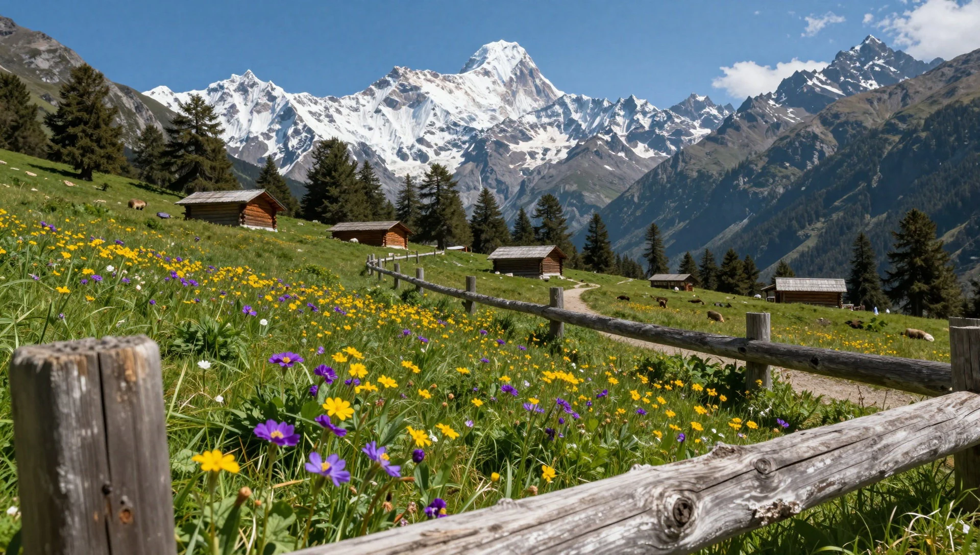
- Karakoram Highway — From Pattan to Gilgit
The highway provides a driving route to the mountain. It is the most accessible way to see Nanga Parbat from a vehicle. The road runs through deep gorges and along the Indus River. Many tourists stop at scenic viewpoints along the road. The views here are wide and encompassing. It is less physically demanding than the trek. However, it lacks the intimacy of the base camps. The road is essential for approaching the region.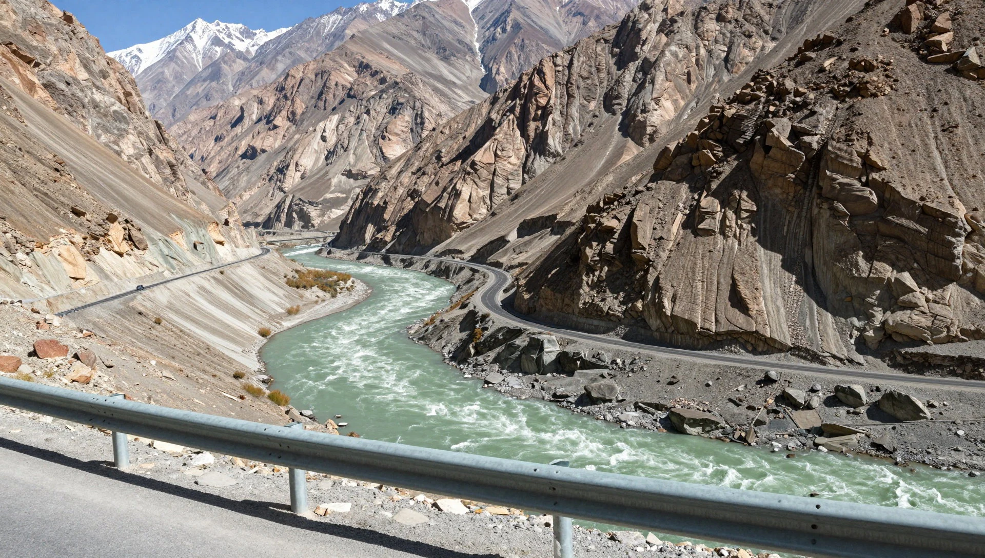
- Rupal Base Camp — Rupal Valley
This is the classic alpine camp for climbing expeditions. It lies near the Rupal glacier. The camp is higher and more remote than Fairy Meadows. It requires a difficult ascent via a narrow pass. Few tourists reach this location. It offers a close perspective of the Rupal face. The journey to this camp is only for experienced mountaineers. It serves as a stage for the main summit bids.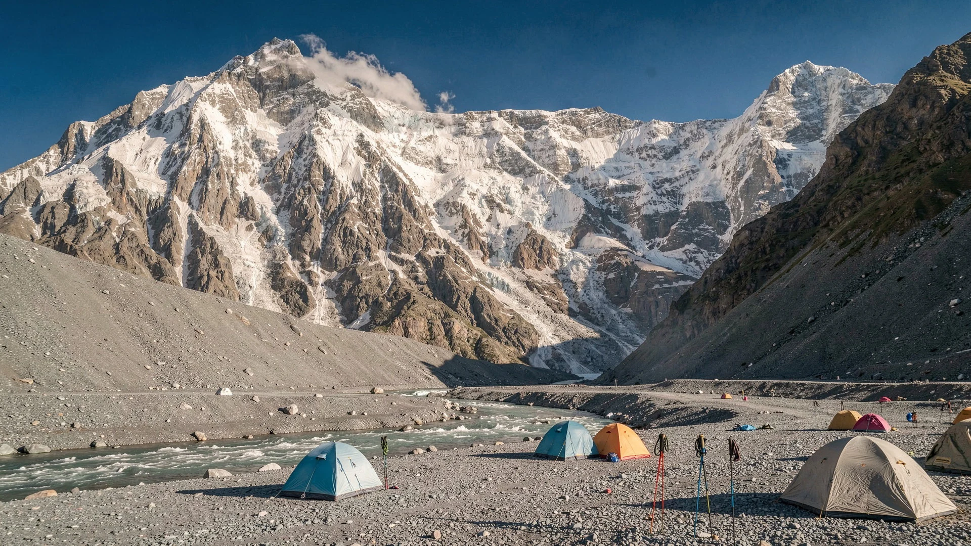
- Herrligkoffer Base Camp — Rupal Valley, higher altitude
Another major camp for climbers, located in the Rupal Valley. It sits higher than Rupal Base Camp. The campsite is well-established with dining tents. It is the staging area for the final push. The view of the north face is massive here. The camp gets very windy and cold. It is a hub of international expedition activity in the summer season.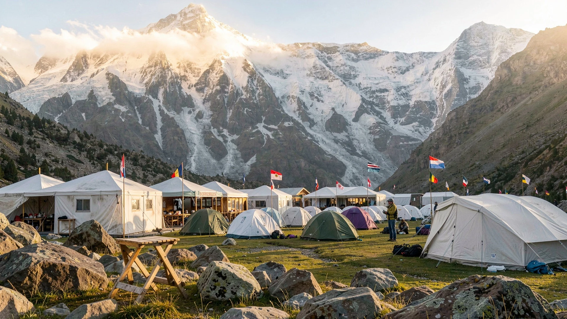
Culture
Gilgit-Baltistan is a unique region with its own distinct cultural identity. The people here are a mix of Baloch, Pathan, and Shina. The Shina people are the predominant group in the upper valleys. Their culture is rich in oral traditions and folklore. The region has a history of spiritual significance. Rock carvings and Buddhist monasteries dot the landscape. These artifacts highlight the ancient trade routes that passed through here. Islam is the dominant religion, with a Sufi influence common in the area. Festivals are a time for community and celebration. The hospitality of the locals is legendary. Guests are treated with great respect and warmth. The culture here is resilient, shaped by the isolation and the harsh environment. There is a strong sense of community in the remote villages. Visitors will notice a different pace of life compared to the cities. The people are proud of their mountain home. It is a place where history and the present coexist in the landscape. Visitors should be mindful of local customs. Dress modestly and respect the local way of life. Ask permission before taking photographs of people or holy sites. The etiquette of the region values polite and quiet behaviour.
What to wear
Traditional dress in Gilgit-Baltistan reflects the need for warmth and practicality. Men often wear a shalwar kameez, a loose pair of trousers and a long tunic. Over this, they might wear a woolen jacket or a heavy shawl. The shalwar kameez is made from local wool or cotton. It provides flexibility and allows for layering. Women wear similar garments, often in brighter colours. They may add a dupatta, a long scarf, for head and shoulder coverage. The fabric used is often handwoven. In the modern era, Western clothing is increasingly common, especially in towns. Young people often wear jeans and t-shirts during the summer. However, traditional dress is still seen during festivals and at home. For visitors, the climate is the main concern. Winters are extremely cold, while summers are mild. Layering is essential for any visit. A waterproof jacket is necessary for sudden weather changes. Comfortable hiking boots are required for rocky and uneven terrain. Headwear is useful for sun and wind. Modesty is appreciated, so covering shoulders and knees is advisable.
What to eat
- Dhokla — Local restaurants in Gilgit
A steamed rice and gram-flour dish popular in the region. It is light and easy to digest, which is useful at altitude. It is often served with chutney and yogurt. The taste is mild and slightly sweet. This dish is a comfort food for many locals. It provides energy without feeling heavy before a hike. It is a staple in many home kitchens.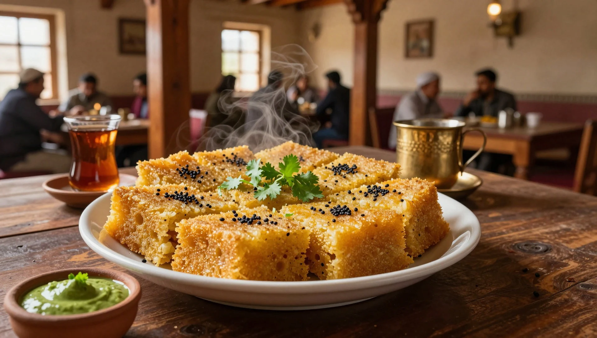
- Napit — Traditional Balti eateries in Gilgit
A traditional meat dish cooked in a clay pot. It uses goat or lamb and is slow-cooked with spices. The dish is hearty and warms the body. It is a rich source of protein for the cold weather. The spices are not too hot but deeply flavourful. Napit is a centrepiece of a local feast. It is often served at celebrations. Diners should expect a long cooking process.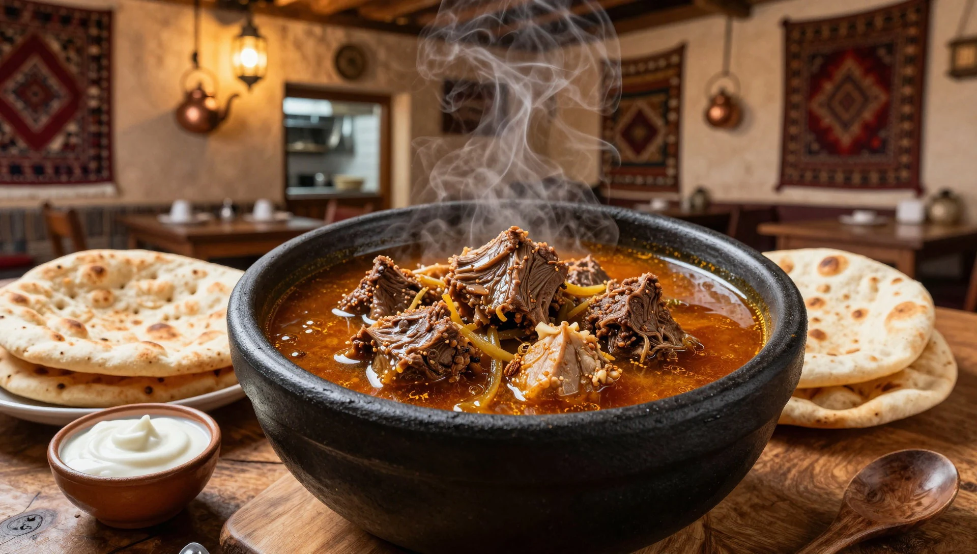
- Chai — Street vendors in Skardu or Gilgit
Strong tea with milk and sugar is the drink of choice. It is served hot throughout the day. The tea is usually made on a small stove. It is a social lubricant in the culture. Drinking chai is a way to build rapport. It is available everywhere from simple stalls to shops. The warmth is essential at high elevations. It helps to combat the cold winds. - Naan — Any restaurant in the region
Flatbread baked in a clay oven. It is fresh, fluffy, and essential for eating a meal. The naan is often brushed with butter or ghee. It soaks up the spices of the curry. It is a main component of any dining experience. The texture is light and airy. It is a simple but comforting food. It is often shared among a group. - Trout — Restaurants near Skardu
Fresh river trout is a local specialty. It is often grilled or fried in oil. The fish is light and flavourful. The texture is delicate. It is a healthy meal option. The fish is caught locally from clean rivers. It is a highlight of the local cuisine. Visitors often seek out restaurants that serve this.
Plan it
Best time. May to October. These months have clearer skies and milder temperatures. June to September are the best for trekking. Winter is too cold and often blocked by snow.
How long. 5-7
Getting there. Fly to Islamabad, then bus or road to Gilgit. This is a long journey. Check local transport schedules.
Budget. mid
Tips
- Acclimatize in Gilgit before starting the trek.
- Carry cash as ATMs are scarce.
- Hire a local guide for navigation and safety.
- Pack for extreme weather changes.
- Check the weather daily in the valley.
Etiquette
- Ask permission before photographing locals or shrines.
- Dress modestly, especially in villages.
- Respect local religious practices and rituals.
Nearby
Sources
- Wikidata Q130736 (CC0)
- Wikipedia Nanga Parbat (CC BY-SA 4.0)
- Wikivoyage Gilgit-Baltistan (CC BY-SA 4.0)
- Wikimedia Commons (Various)