Nahanni National Park Reserve
Nahanni National Park Reserve, Canada
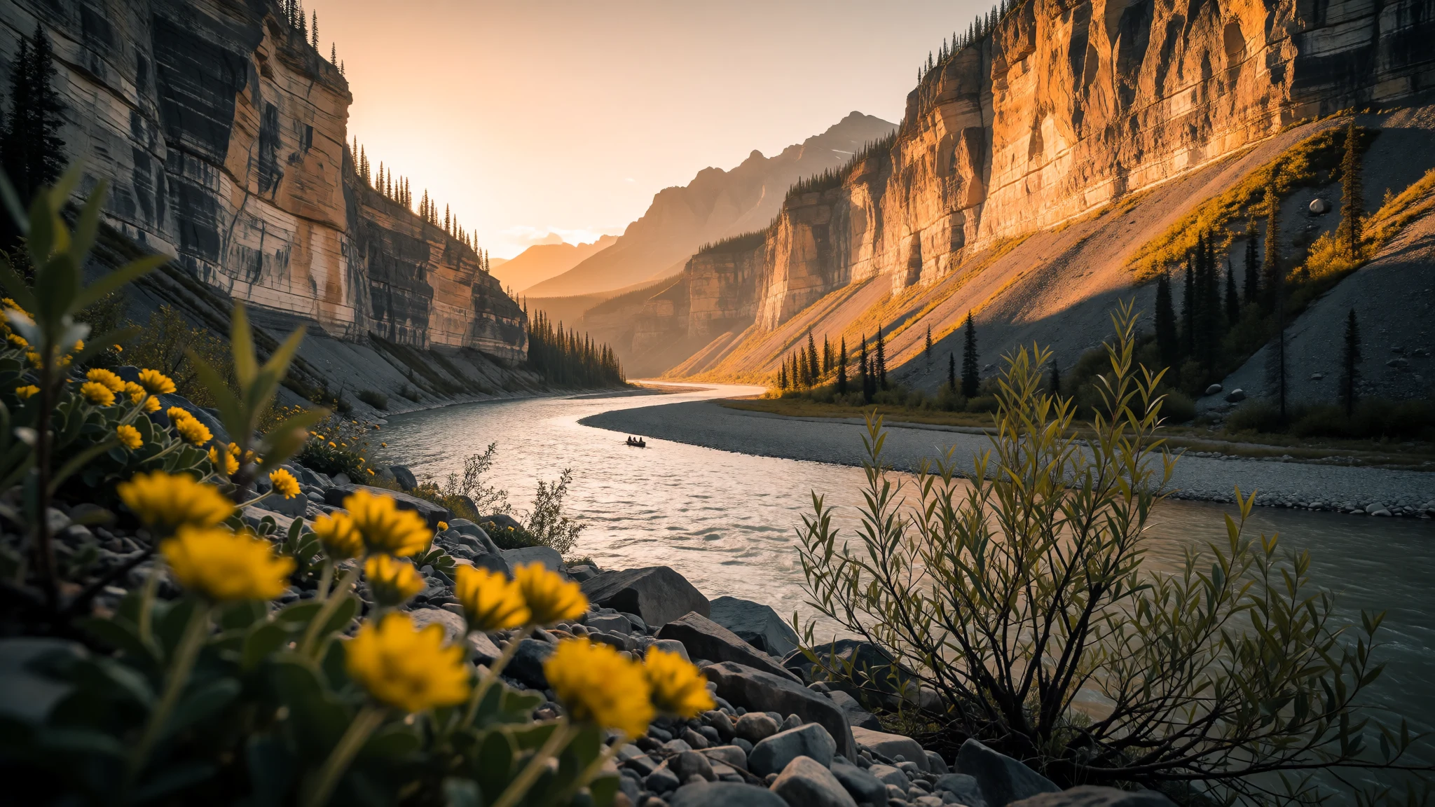
Nahanni is Canada’s remote river-and-canyon park—geology, big falls and whitewater, with access only by air or multi-day trips.
The place
Nahanni National Park Reserve sits in Canada’s Northwest Territories, in the Dehcho Region. It protects part of the Mackenzie Mountains, with the South Nahanni River (Naha Dehé) doing most of the work—cutting through walls of rock and shaping the park’s four named canyons: First, Second, Third and Fourth Canyon. These canyon walls can rise to around 1,000 m (3,300 ft), which is why the river here feels like it’s flowing inside a monument rather than a valley.
The park’s “big draw” is the mix of water and stone. Virginia Falls (Nailicho) is the signature plunge, and it shows up in the way guides describe the river: thunderous, misty and unforgettable, with viewpoints or hikes that depend on conditions and the way your trip is set up. Between the waterfalls and the canyons, the river also gives you quiet moments—wide reaches, slow backwaters and “standing water” scenes—before the next set of rapids changes the mood.
Beyond the scenery, Nahanni is also a geology story. The landscape reflects ancient sediments from an inland sea and later tectonic forces that pushed layers upwards and fractured them into mountain ranges. The result is coloured rock layers and deep time visible in the canyon walls.
Crowds are not really a thing here in the usual sense; the bigger issue is logistics. With no public roads and limited access, every visit revolves around flights, charter operators or outfitting trips. If the idea of planning ahead, packing carefully and respecting local guidance sounds like your kind of travel, Nahanni delivers.
Its story
Nahanni’s story begins long before European traders. Lands around Nahanni National Park Reserve have been used by Dene peoples for thousands of years, with evidence of earlier activity found at places including Yohin Lake. Local oral history points to the Naha tribe, described as a mountain-dwelling group associated with raids in nearby lowlands—stories that linger because the people they mention are said to have vanished in a way that still feels hard to explain.
European contact arrived later, when fur traders pushed into the region during the 18th century. Alexander Mackenzie’s exploration of the Mackenzie River (Deh Cho) brought more attention to the waterways, and trading posts grew around places such as Fort Simpson and Fort Liard. John McLeod appears in the historical record as an explorer tied to management of the area.
As the 19th century moved on, many Dene families shifted from nomadic life into more permanent communities, often near those trading posts at places like Nahanni Butte, Fort Liard and Fort Simpson. Trade also shaped travel patterns: in spring, “Mountain Indians” of the Nahanni region travelled downriver to exchange winter furs.
One striking detail from the historical descriptions is how moose-hide boats were made for the journey—constructed from untanned hides stretched over a spruce framework. These boats were dismantled after arrival so materials could be traded along with the furs. That kind of practical, seasonal movement is part of why the river remains the centre of the park’s human history as well as its geography.
Even now, Nahanni still feels like it’s governed by the river—access, timing and what you can do all follow the same logic: go with the water, or go by air to the places the river carves.
What to see
- Virginia Falls (Nailicho)
Virginia Falls (Nailicho) is where the South Nahanni River drops in a high plunge, turning the gorge into a plume of mist. Above the falls sit rapids, and day visits often mix a short walk with a viewpoint, depending on conditions.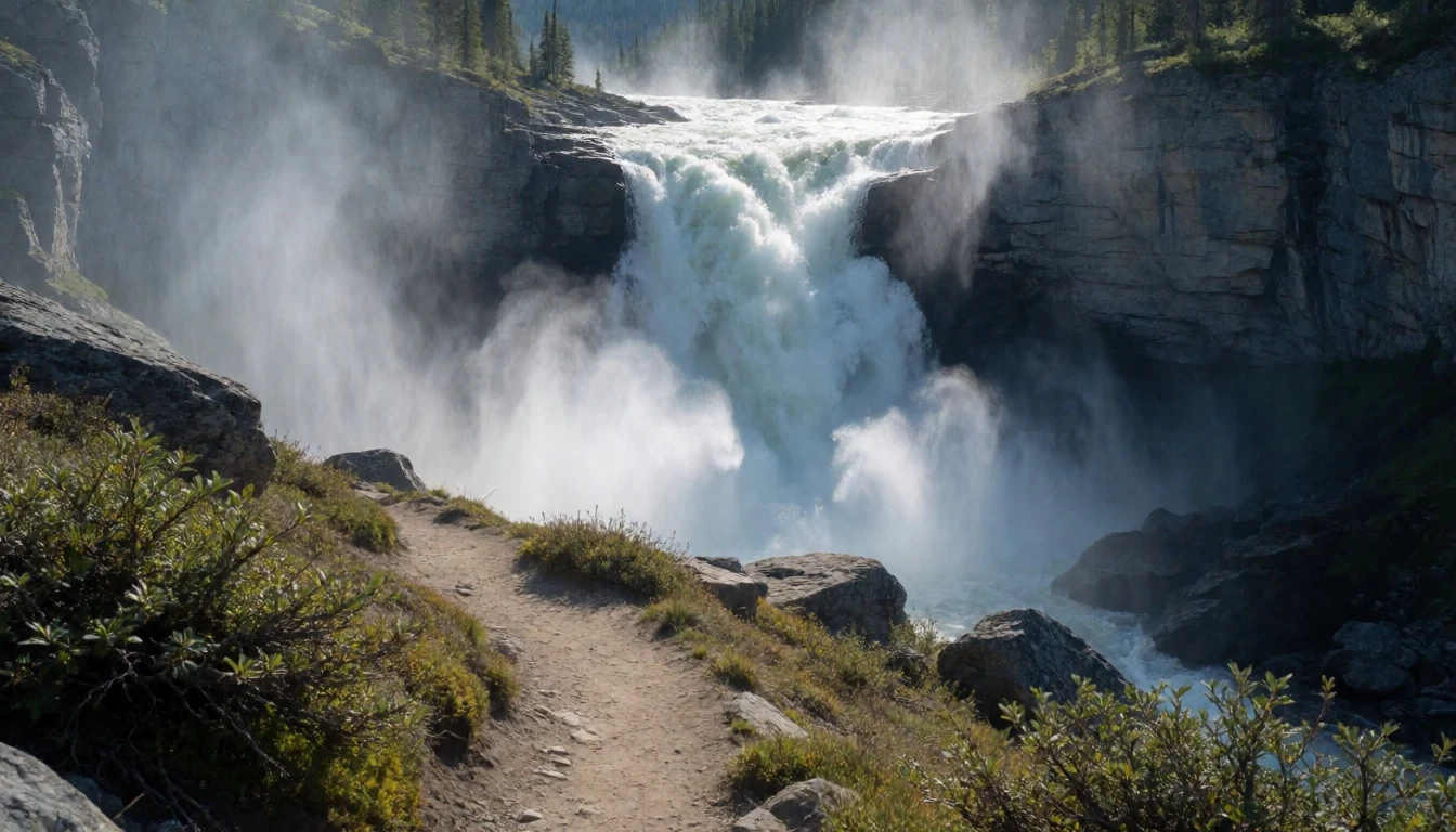
- Canyons along the Nahanni River
Along the whitewater stretches, First, Second, Third and Fourth Canyon line the South Nahanni River. The canyon walls can reach about 1,000 m, creating deep, narrow corridors where the river’s speed and spray define what you can see.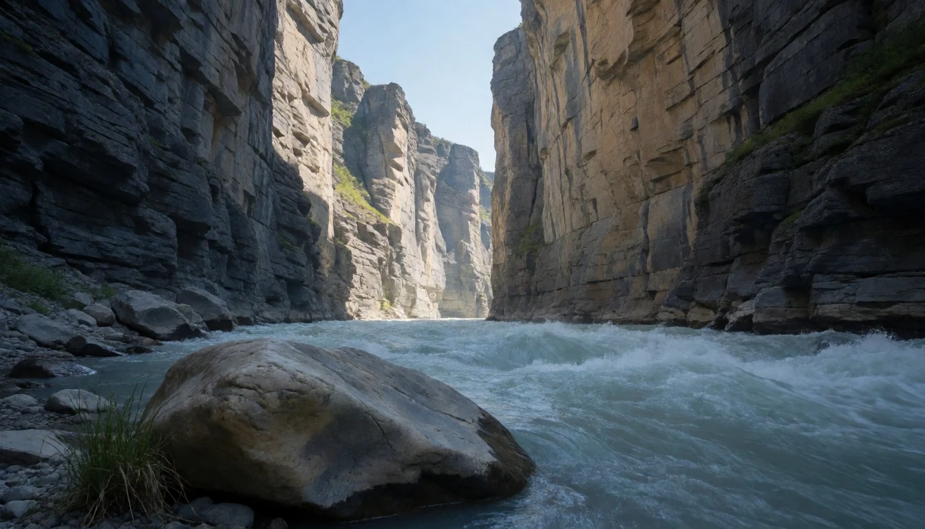
- Third Canyon
Third Canyon is one of Nahanni’s named bends and walls, where the river threads through steep rock. From the water or on scheduled viewpoints, you get a sense of scale: cliff faces, fast current and the feeling that the landscape closes in.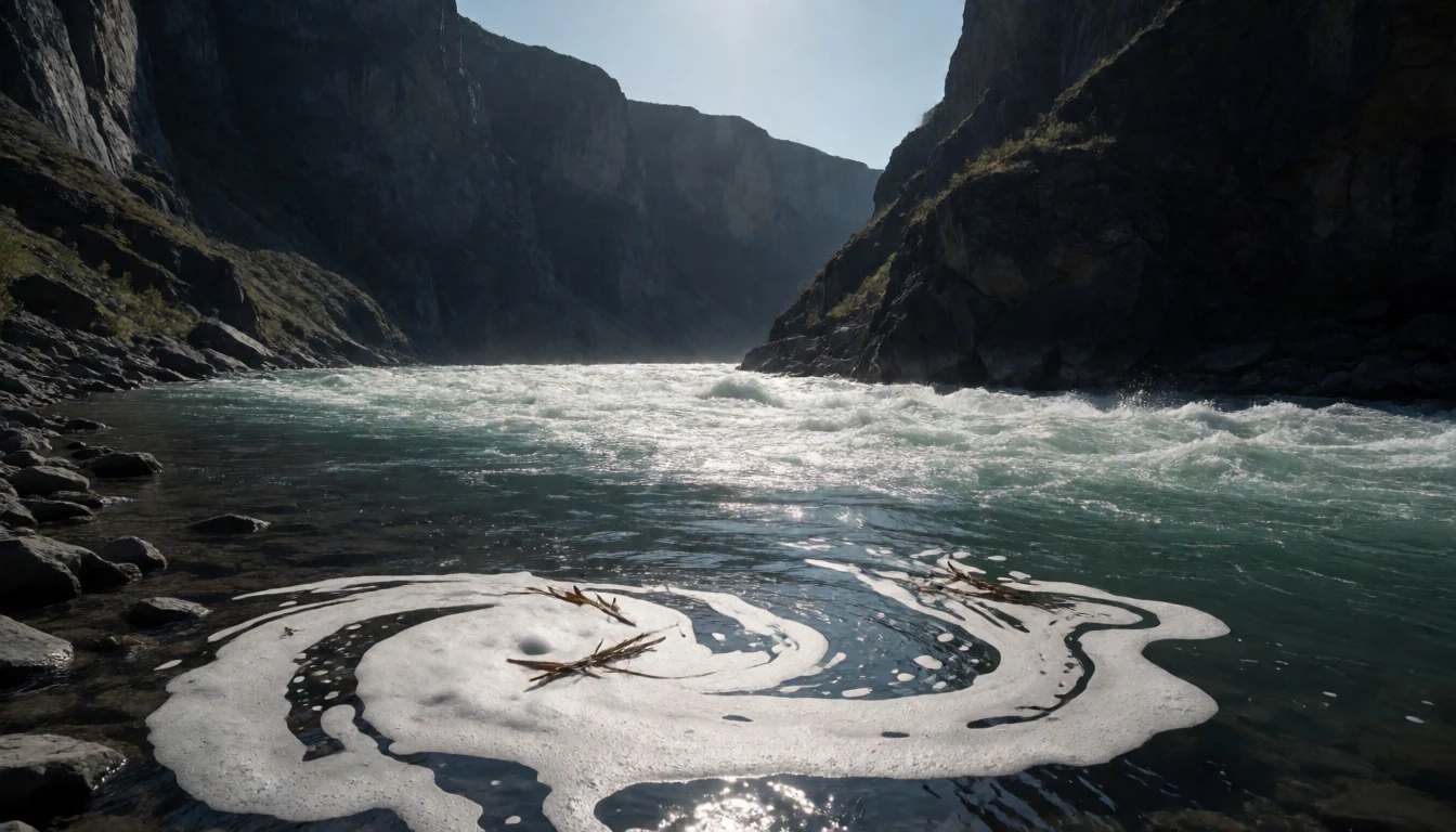
- Rabbitkettle (Gahnîhthah) Hot Springs — around the Rabbitkettle hot springs area
Rabbitkettle (Gahnîhthah) Hot Springs are known for tufa mounds—especially the North Mound—which form a natural, textured landscape around thermal water. It’s a different kind of stop from the river, and a good reminder that Nahanni isn’t only about canyons and falls.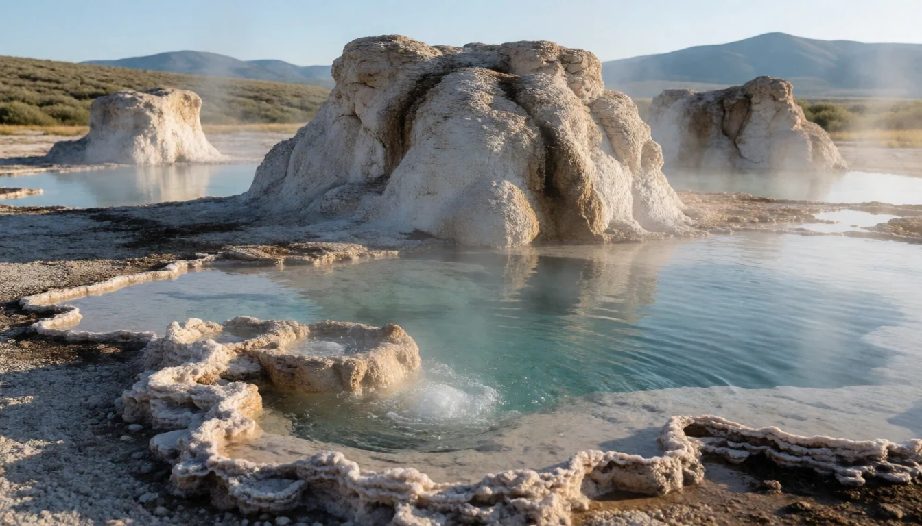
- Grotte Valerie
Grotte Valerie is associated with ancient skeletons of nearly a hundred Dall’s sheep, but access is likely not possible without local rangers. Treat it as a site for knowledgeable visitors: the point isn’t “DIY exploration”, it’s safe, guided entry.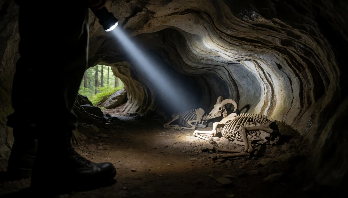
Culture
Nahanni National Park Reserve is in Dene traditional territory, and the river and mountains are tied to local names and stories. Even the park’s place-name connections point back to the language used by local Dene communities: “nahanni” is linked to a local Dene name for the area, referring to the river landscape. That matters because it frames the park not just as scenery, but as lived country.
In practice, culture here is mostly about how you behave around the land and wildlife rather than formal “performances”. There are no developed trails across the whole park, and there are no formal campsites, so much of your impact comes down to how you camp, move and leave areas clean. Visitors also rely on licensed outfitters for whitewater trips, and on park and local ranger guidance where access is restricted.
The safest way to experience Nahanni respectfully is to treat the park like you’re stepping into someone else’s working landscape: follow route descriptions provided for popular hikes, use licensed services where required, and ask before going anywhere that feels remote or fragile.
Visitor etiquette: Follow ranger and outfitter guidance and keep to approved routes and camping practices to protect fragile backcountry conditions.
What to wear
Traditional dress in the Nahanni region is associated with Dene lifeways, but what travellers will actually wear day-to-day in Nahanni is governed by weather and terrain. On the land and around the river, conditions can be changeable even in peak travel windows, so practical layering is the real “uniform”.
For most visitors, the current look is: warm base layers, an insulated mid-layer, a waterproof shell and quick-drying trousers that can handle spray and wet crossings. Footwear needs grip for rocky ground and potential portage trails; waterproof hiking boots or sturdy trail shoes with good traction usually make more sense than fashion trainers.
If you’re visiting Virginia Falls by foot or viewpoint walks, expect damp air from the falls and slick surfaces near the water, so bring clothes you can keep warm when you get splashed. If your itinerary includes whitewater canoeing, kayaking or rafting, pack a dry bag and spare layers for after the main water time.
For cultural sites or any guided stops, dress to be practical and modest: keep shoulders and legs covered where guidance asks, and carry a hat and warm layer even when the sun is out. Comfortable, non-noisy clothing helps you move through quiet areas without constantly getting tangled in gear.
What to eat
- Picnic at/near Virginia Falls — near Virginia Falls viewpoints
Many day visitors build the trip around a picnic paired with a short walk to a viewpoint at Virginia Falls. It’s simple food—whatever your outfitters pack or what you bring—because the focus is on the falls and timing.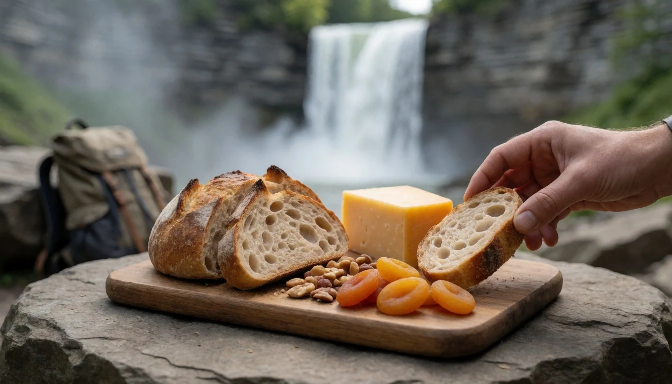
- River-trip meals with your outfitter — on South Nahanni River canoeing, kayaking or rafting trips
For longer whitewater trips, meals are typically provided or organised through the licensed outfitting company. Expect hearty, portable options that work in wet conditions, eaten between paddling days and canyon sections.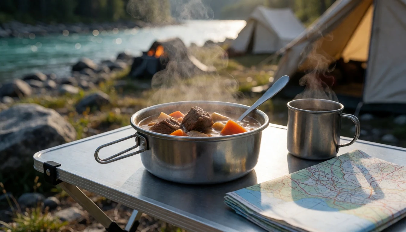
- Fort Simpson supplies before departure — Fort Simpson and its supply spots
Operators that run from Fort Simpson mean travellers often sort snacks and basics before flying or starting river segments. Think shelf-stable staples for travel: high-energy foods you can eat quickly between transfers. - Trail-friendly snacks during hikes — on short walks and portage-style hikes around Virginia Falls
If you do the moderate portage-style hike that descends towards the base of the falls, you’ll want bite-sized food that fits in a day pack. Keep it practical—something you can eat without stopping long. - Warm drinks during rest stops — rest periods on multi-day river itineraries
On charters and river days, warm drinks or hot meals during breaks are a morale boost, especially when spray cools you down. These are usually organised as part of the trip schedule rather than searched for onsite.
Plan it
Best time. March–April for more stable seasonal conditions before summer heat and wet weather; October–November for autumn light and cooler days before deep winter. June and July are the wettest months, while the warmest months are June through August.
How long. 3–4
Getting there. Nahanni National Park Reserve has no public roads, so access is by air or hike-in. To reach the river, a floatplane is necessary, arranged through charter companies; many operate out of regional bases such as Fort Simpson, and a complete list is on the Parks Canada website.
Budget. high
Tips
- Book well in advance through the Park Office or licensed operators—planning windows matter for flights and river access.
- Treat whitewater as the main event: use a licensed commercial outfitter rather than improvising route safety.
- If you’re aiming for Virginia Falls, check what your itinerary can realistically support on the day (viewpoint walk vs longer portage).
- Pack for wet conditions: keep a dry bag for insulation layers, and expect spray near falls and rapids.
- If backcountry camping is part of your route, practise no-trace camping and be ready for the fact that there are no formal campsites.
Etiquette
- Use only licensed outfitting services for river activities and follow their guidance closely.
- Stick to provided route descriptions and don’t attempt restricted cave or site access without local rangers.
- Practise no-trace camping—pack out what you bring and leave no waste.
Nearby
Sources
- Wikidata Q391391 (CC0)
- Wikipedia (CC BY-SA 4.0)
- Wikivoyage (CC BY-SA 4.0)
- Photo photos/01-nahanni-virginiafalls.jpg (Public domain)
- Photo photos/02-nahanni-virginiafalls2.jpg (Public domain)
- Photo photos/03-virginia-falls-northwest-territories.jpg (CC BY 2.5)
- Photo photos/04-nahanni-river-third-canyon.jpg (Public domain)
- Photo photos/05-nahanni-river-the-gate.jpg (Public domain)
- Photo photos/06-mason-s-rock.jpg (CC BY 2.5)
- Photo photos/07-standing-water-9103242552.jpg (CC BY 2.5)
- Photo photos/08-a-little-creek-pouring-into-the-nahanni-river-9101223021.jpg (CC BY 2.5)