Mulanje Massif
Mulanje Massif, Malawi
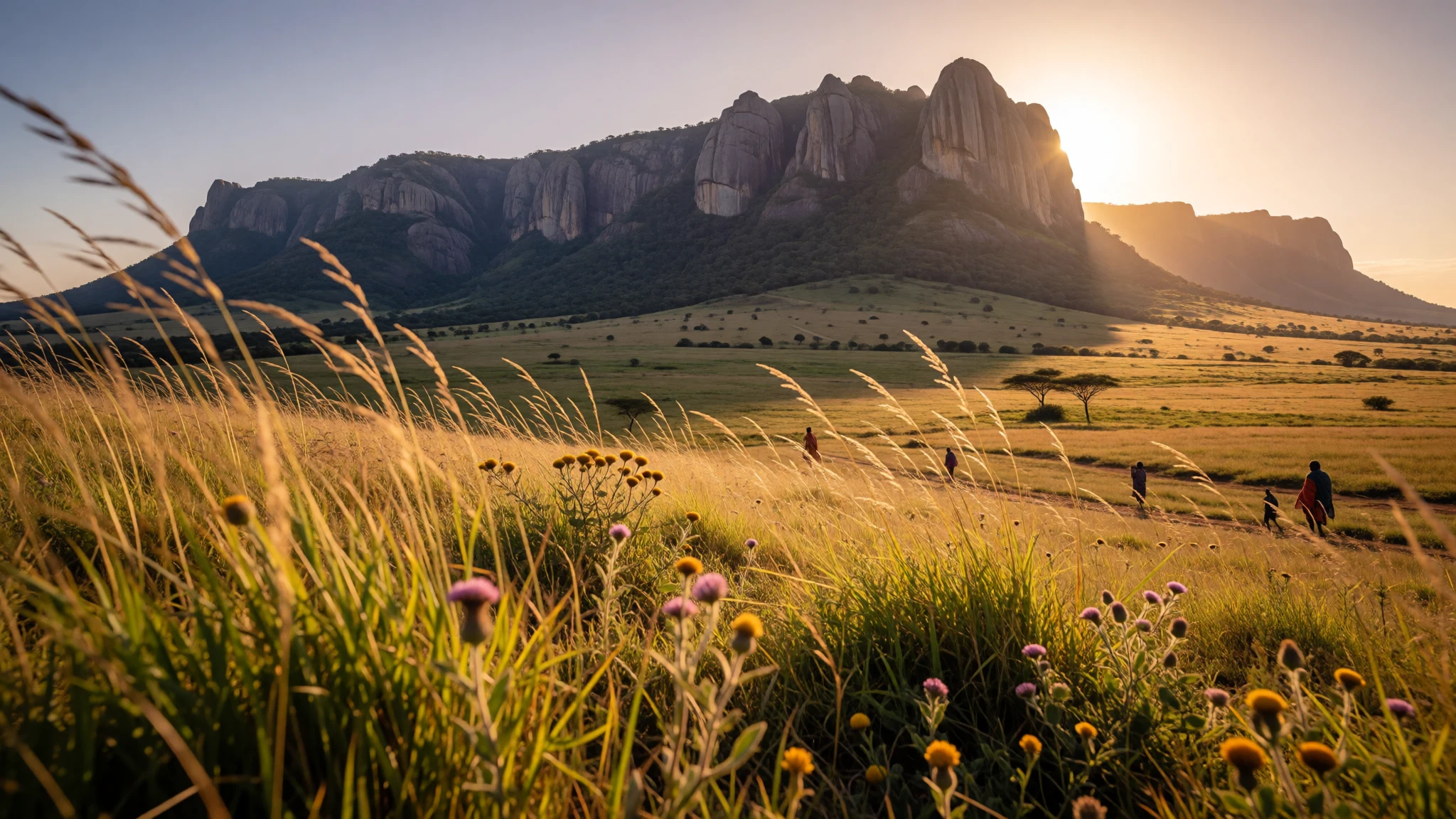
Mulanje Massif is a rainforest-and-grassland mountain that turns weather into theatre, with Sapitwa Peak hiking as the main draw.
The place
Mulanje Massif (also called Mount Mulanje) sits in southern Malawi as a prominent “mountain island” rising from the surrounding plains. The uplift is dramatic, and the height is why the massif shapes the local sky: air moving over it helps rain clouds form around the mountain, feeding rivers across the region.
The landscape is a mix of rolling grassland and deep, forested ravines. At the higher levels, the atmosphere feels different—cooler, often mistier—and you can see how the massif breaks the rhythm of the low country. Many individual peaks punctuate the plateau area, with Sapitwa Peak (the massif’s highest point) at 3,002 m.
Most of Mulanje is protected under the Mulanje Mountain Forest Reserve. That matters because the slopes aren’t just “scenery”; they support a living ecosystem. The park includes the last remaining stands of the Mulanje cypress (Widdringtonia whytei), alongside other plants and animals, including species that are endemic to this part of Malawi. The protection is also part of why access and overnight stays tend to be organised through the mountain reserve network, rather than feeling like casual hill-wandering everywhere.
Practically, Mulanje is best approached for hiking and, in places, climbing. Trails lead from the forest edge up towards the plateau, and day trips can slot into longer treks depending on weather and fitness.
Its story
Mulanje Massif’s story starts far back in geological time. The mountain is an inselberg formed when magma intruded into the crust about 130 million years ago, and then the surrounding rock eroded away, leaving harder igneous rock standing as a rugged block. In other words: the dramatic silhouette isn’t an accident—it’s a leftover from ancient earth-making.
People have been drawn to this “rain-maker” for a long time, because the massif affects moving air. As conditions change, it can help trigger cloud formation around the mountain, and that rainfall influence is felt beyond the peaks through rivers that run out into the plains.
The massif’s ecology and land use add another chapter. Forested slopes support timber activity, and at one point a cableway was used to move timber down from the plateau edge; it’s now disused, and timber has been moved manually. Today, the mountain sits within a forest reserve, with climbing and hiking organised around protected areas and huts maintained for walkers.
On the trail, you’ll feel the transition between grassland and ravines, and you’ll understand why the reserve is so protective: higher habitats hold specialised species, including Mulanje cypress, which has suffered from heavy logging and is now endangered. Visiting Mulanje, then, isn’t only about reaching a summit—it’s also about stepping into a system where geology, weather and conservation are all tightly linked.
What to see
- Sapitwa Peak
Sapitwa is the highest point on Mulanje Massif at 3,002 m, and it’s a hike rather than a technical climb. The approach can be strenuous, but it suits visitors who want a real sense of altitude without specialised climbing kit. Clouds are common around the summit area, so start with weather in mind.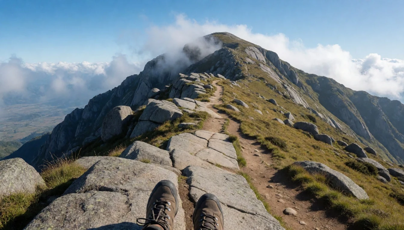
- Dziwe la Nkhalamba Waterfall — Mulanje district / massif routes
Dziwe la Nkhalamba Waterfall is a rewarding detour when you’re based on the massif routes. The walk to it is often described as a manageable day option, and the waterfall setting gives that “hidden in the forest” feeling even when you’re moving at a steady pace.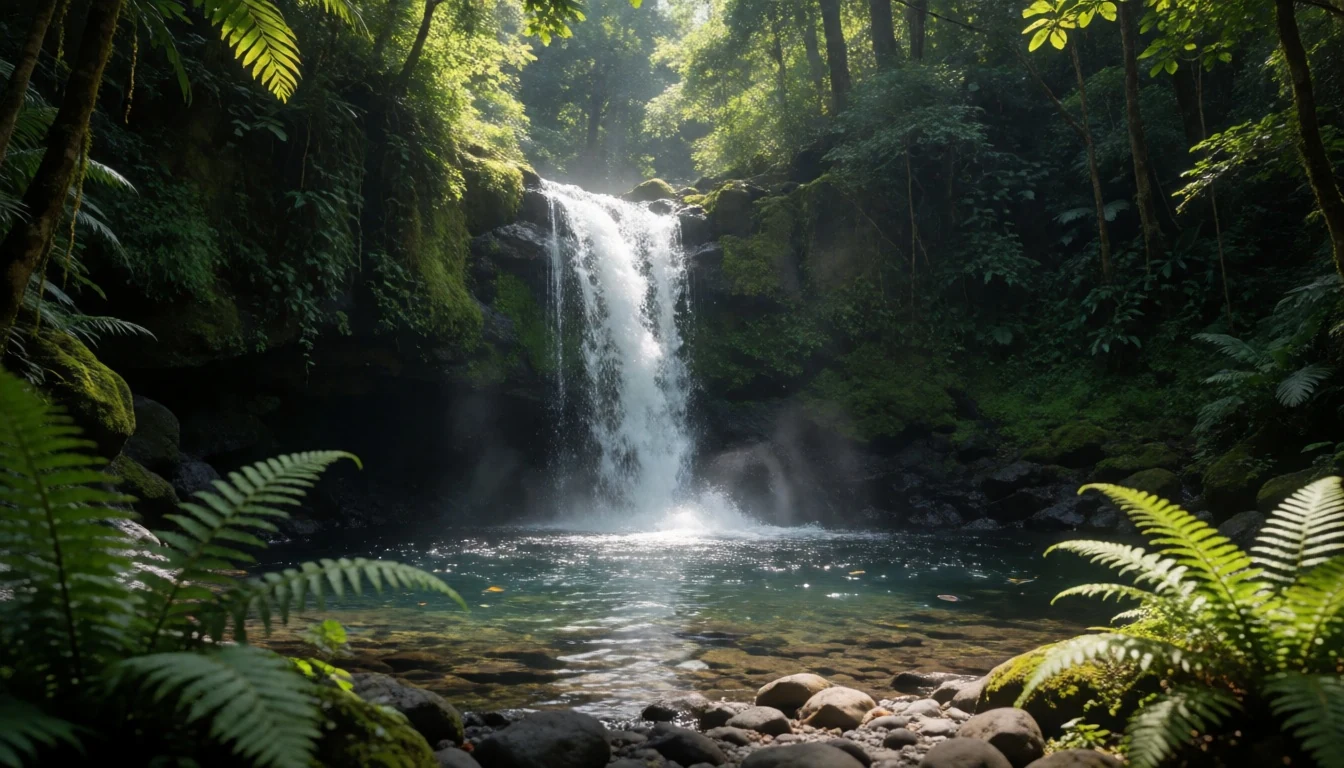
- Mulanje Forest Reserve slopes — Protected slopes and ravines on the massif
The Mulanje Mountain Forest Reserve is where the massif becomes more than a viewpoint. Expect deep, forested ravines cutting through higher grassland, and a habitat that supports Mulanje cypress and other endemic life. Even on a standard trek, the vegetation changes are the experience—shade, sounds, and mist behave differently as you climb.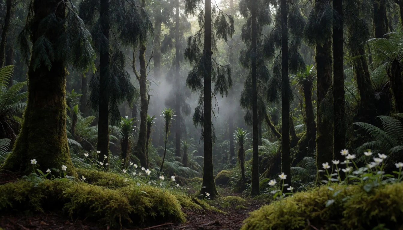
- Climbing routes on Chambe Peak (West Face) — Chambe Peak area on the Mulanje Massif
Chambe Peak’s West Face is noted for being the longest rock climb in Africa, giving Mulanje a reputation beyond hiking. If climbing is your focus, this is the part where weather timing matters and guides are important for route planning. Even if not climbing, it helps to understand why the massif draws experienced visitors.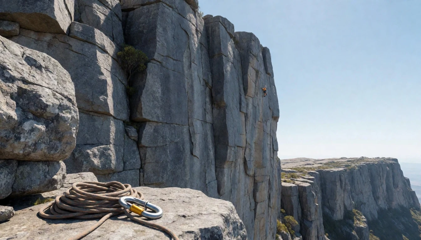
Culture
Mulanje Massif’s culture is closely tied to the mountain’s protection and to how people move timber and hikers through the reserve network. The massif is managed as a protected forest reserve, so the “vibe” is different from a casual hike: access to certain areas and overnight options tends to be organised, and local caretakers and route knowledge matter.
Timber history still echoes in places—there have been changes to how planks are transported from the plateau edge down towards forestry stations. But today, the conservation focus is clear in the way the reserve safeguards habitat, including the endangered Mulanje cypress. That’s why wildlife, plants, and ravine ecosystems aren’t treated like backdrop; they’re the point.
On the ground, you’ll usually be sharing narrow paths with other walkers heading between huts and viewpoints. Early starts can help with both safety and solitude, especially when trails are busy and cloud thickens.
Visitor etiquette: keep to marked routes, stay quiet in forest patches, and ask before entering any hut or work area so you don’t disrupt reserve staff or other hikers.
What to wear
Mulanje Massif is a mountain, so the clothing question is really about layers and protection from wet weather. Traditional local dress isn’t a single “massif uniform”, but you’ll likely see everyday clothing in and around Blantyre and in community settings, while trekking involves practical layers.
What people wear now for hiking is typically lightweight trousers, a long-sleeved top for sun and brush, and a proper rain layer because the mountain can draw clouds in. Footwear matters more than style: trails can be muddy or slippery after rain, and there’s a lot of walking between elevations.
For a visitor, bring clothes that can handle moisture and temperature shifts between lower forest edges and higher, cooler air. A breathable day outfit plus a warm layer for misty hours works well. Choose socks you’re comfortable hiking in and pack a hat or cap for sun, even if you expect clouds.
When visiting any reserve huts or areas where people are working, dressing modestly and keeping your shoulders and knees covered is a good default. Avoid sandals—closed, grippy shoes or boots are the safer choice on uneven ground.
What to eat
- Tea and simple snacks — Village trading areas around the massif routes
Tea stops are common around mountain bases and nearby trading areas. You’ll often find basic snacks served alongside a hot drink—use these moments to refill and warm up after misty stretches.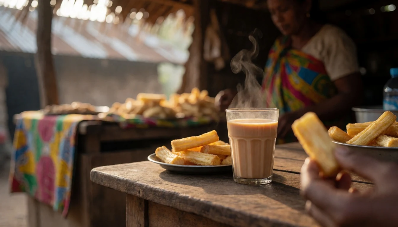
- Rice and vegetable stew — Local restaurants/eateries near Mulanje access points
After a long walk, rice with a local vegetable stew is a familiar comfort meal. It’s the kind of dish that keeps well between start and finish times, and it’s easy to find in small eateries near the access points.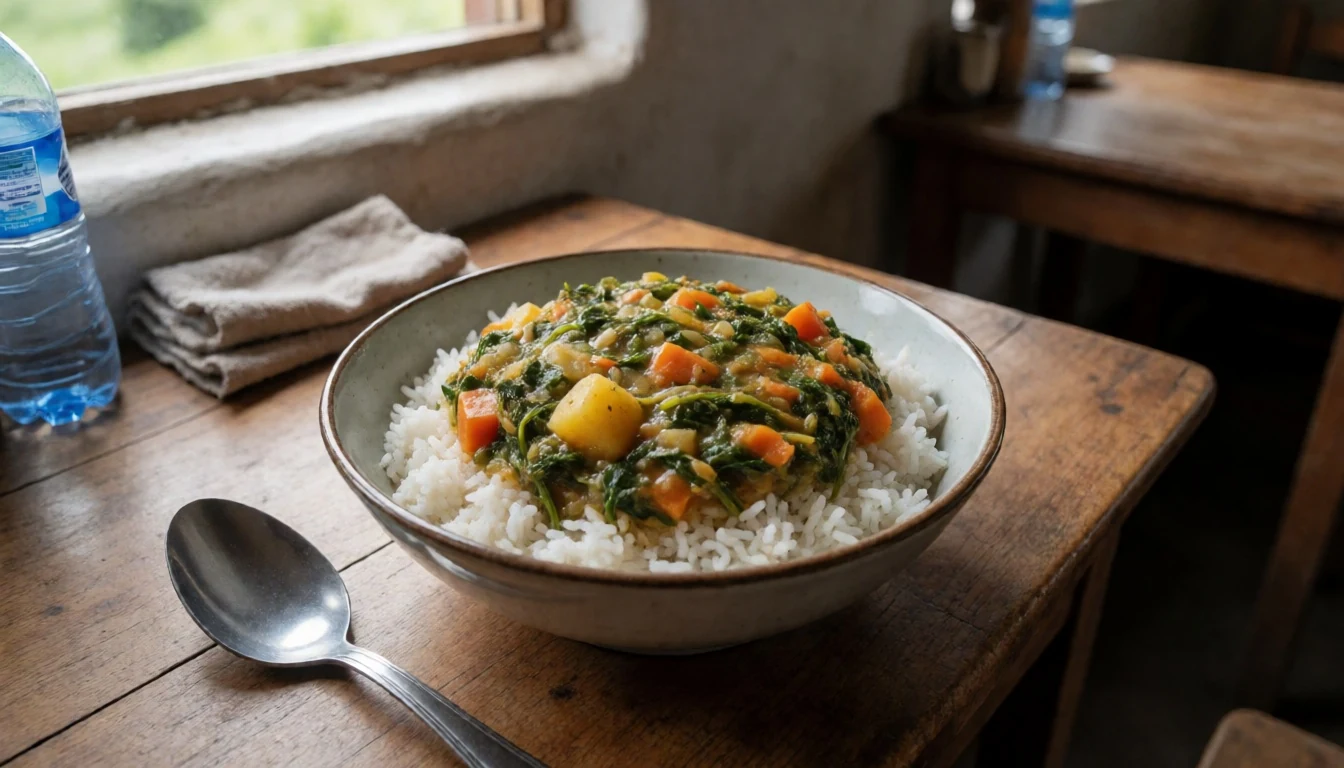
- Nsima with relish — Roadside eateries and small restaurants in Mulanje
Nsima (maize porridge) with relish is widely available in Malawi. For hikers, it’s filling and helps energy levels; look for it at modest roadside restaurants or community-run food spots before heading out. - Grilled or fried fish — Markets and local food stalls around town
Southern Malawi often serves fish in simple grilled or fried styles. If your route brings you back to populated areas in the evening, try fish when it’s on offer—it’s a reliable post-trek protein option. - Seasonal fruit when available — Morning markets and roadside stalls
Fresh fruit can make a good midday reset, especially when you’re between trails and need something light. The exact selection changes with season, but carrying a bit of fruit for breaks is usually worthwhile.
Plan it
Best time. June–August and September for calmer trekking conditions, with the driest months being May, June, and August. The hottest period is September–October, while the wettest months are January–February and December, so rain is most likely then and trails can be slippery on the plateau.
How long. 3–4
Getting there. Fly into Blantyre area airports, then transfer by road to the Mulanje side and the massif trail access points; from there, you’ll typically start hikes from the nearest base around the reserve.
Budget. mid
Tips
- Plan around cloud: start early so you’re higher before afternoon mist thickens.
- For the plateau, expect longer trekking days—trail time varies with route and weather.
- Pack a rain layer and water for the climb, even when the morning looks clear.
- Ask locally about hut and route options before committing to a multi-peak plan.
- Bring some cash for small purchases at trail-access settlements.
Etiquette
- Follow guidance from the reserve network and stay on the route—don’t cut switchbacks.
- Keep voices down in forested ravines, especially if other hikers are moving between huts.
- Handle local interactions respectfully and ask before taking close photos of people.
Nearby
Sources
- Wikidata Q1510436 (CC0)
- Wikipedia (rev 1369587974) (CC BY-SA 4.0)
- Wikivoyage (rev 5091704) (CC BY-SA 4.0)
- Photo photos/01-mulanje-etm-26may02.jpg (Public domain)
- Photo photos/02-sapitwa-peak-in-clouds.jpg (CC BY-SA 4.0)
- Photo photos/03-mount-mulanje-mozambique.jpg (CC BY-SA 2.0)
- Photo photos/04-mulanje-mountain-western-side.jpg (CC BY 3.0)
- Photo photos/05-matundwe-range-map.png (Public domain)
- Photo photos/06-shire-highlands-map.png (Public domain)
- Photo photos/07-banni-rewv-mulanje.png (CC BY 3.0)
- Photo photos/08-camp-fire-on-mulanje-tea-estate-15508376647.jpg (CC BY-SA 2.0)


