Mount Pulag
Mount Pulag, Philippines
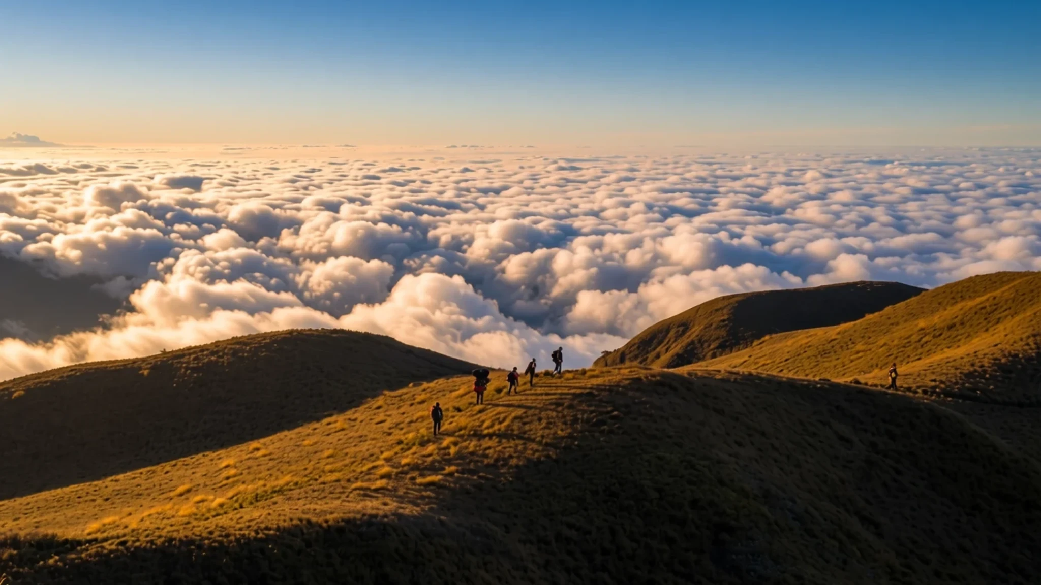
Climb the highest peak in Luzon to walk through mossy forests and stand in a sea of clouds beneath a clear, star-filled night sky.
The place
Mount Pulag rises to 2,922 metres above sea level, anchoring the triple border where Benguet, Ifugao, and Nueva Vizcaya meet in the central Philippines. It is the highest point on the island of Luzon and the third-highest in the country. The mountain sits within a national park established in 1987, spanning 11,550 hectares of protected land. The lower slopes are wrapped in dense mossy forests, a microclimate where trees hang with liverworts and ferns, creating a green, misty world. As the trail ascends past the tree line, the forest gives way to expansive highland grasslands and open ridges. This transition creates a striking visual shift from enclosed canopy to open sky. The climate here is subpolar oceanic, bordering a subtropical highland climate and distinct from the tropical lowlands below, with cool nights even in the hottest months. Rainfall is heavy, particularly around August, so the landscape stays lush and vivid. The summit area is rugged and exposed, subject to strong winds and rapid weather changes. By day, the view stretches across the Cordillera range, with patchwork fields visible in the valleys on clear days. By night, the lack of light pollution reveals the Milky Way in sharp detail, a feature that attracts stargazers and photographers alike. The terrain varies significantly by trail, with someroutes being steep and rocky while others rely on logging roads for the initial ascent. The physical demands are high, with altitude and cold making the final push to the summit a serious undertaking for most visitors. Despite the harsh conditions, the mountain manages a rare quietness compared to the coastal resorts of the Philippines. The air is thin and crisp, and the silence is broken only by wind and birdsong. This combination of high elevation, distinct ecosystems, and panoramic views makes the mountain a destination for hikers who find city beaches and tourist hotspots too noisy. The park remains a place of transit and ascent until the summit camp, where the real experience begins. It is a place of stark beauty, where the landscape feels ancient and untouched by modern convenience.
Its story
Long before it became a national park, Mount Pulag was a sacred site for the indigenous Ibaloi, Kankanaey, and Ifugao peoples of the Cordillera. For these communities, the mountain is not just a physical peak but a spiritual centre, believed to be the resting ground for the souls of ancestors and the home of tinmongao spirits. The Ibaloi traditionally house mummified ancestors in caves near the base, a practice that reflects a deep respect for the dead and the natural world. One such site, the Kabayan mummy burial caves, is designated a national cultural treasure, highlighting the mountain’s role in preserving indigenous heritage. The modern history of the site accelerated in the late 20th century. In 1987, President Corazon Aquino signed the presidential proclamation that formally designated the area as Mount Pulag National Park. This move was part of a broader effort to protect the biodiversity of the Cordillera region. The park now serves multiple purposes: it is a sanctuary for rare species, a carbon sink, and a watershed for several provincial rivers. The establishment of the park also brought a shift in how outsiders interacted with the mountain. Where it was once primarily a domain of local spirits and deceased elders, it became a destination for hikers and nature enthusiasts. This transition has not been without tension. Balancing the cultural sensitivity of the indigenous communities with the influx of tourists has been an ongoing challenge for park authorities. Today, local guides play a crucial role, ensuring that visitors respect local customs and that the cultural narrative of the mountain is accurately conveyed. The park’s status as a protected landscape was further reinforced in recent years, with new laws aiming to prevent environmental degradation and unsustainable tourism growth. The story of Mount Pulag is thus a layered one, where spiritual belief and scientific conservation intersect. It stands as a testament to the resilience of indigenous culture and the importance of protecting highland ecosystems in a rapidly changing climate. The mountain’s history is not just about its geology or altitude; it is about the people who have lived in its shadow for centuries and the efforts to keep that legacy intact for future generations.
What to see
- The Summit Grasslands — Summit area
The final stretch of the climb leads to an open expanse of highland grassland that rounds the peak. This area is exposed to strong winds, so layers are essential. The view here opens up to the entire Cordillera range, with layers of mountains fading into the horizon on clear days. The grasses are short and tough, adapted to the cold and wind. It is a stark contrast to the mossy forest below, feeling almost lunar in its otherworldliness. This is the place to pause and absorb the scale of the landscape.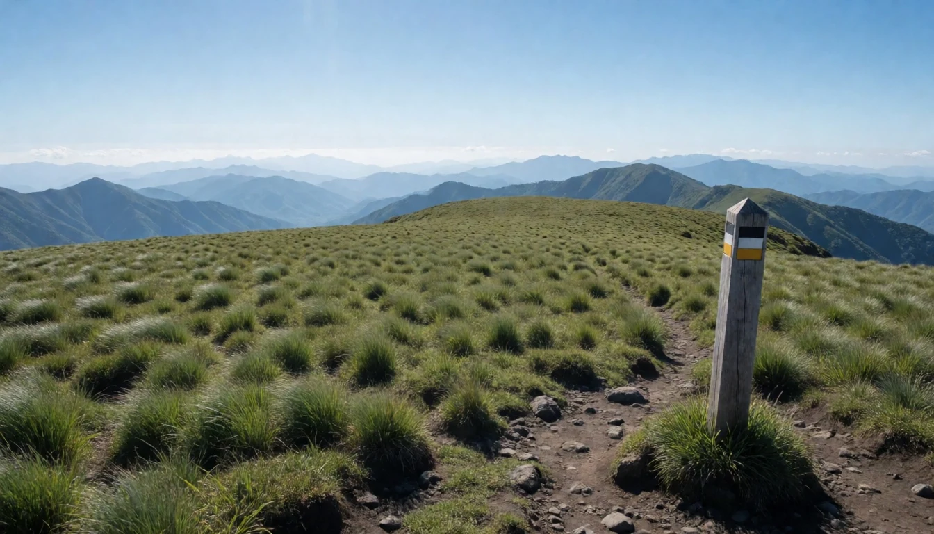
- The Mossy Forest — Mid-elevation trail zone
Before reaching the tree line, the trail passes through a unique ecosystem known for its heavy growth of moss and epiphytes. The trees are draped in green blanket-like foliage, creating a humid, cathedral-like atmosphere. Light filters through the canopy in soft, greenish beams. The air is cooler and damper here than in the lower valleys. It is a quieter, more intimate part of the hike, offering a chance to observe the intricate details of the highland flora without the wind and exposure of the summit.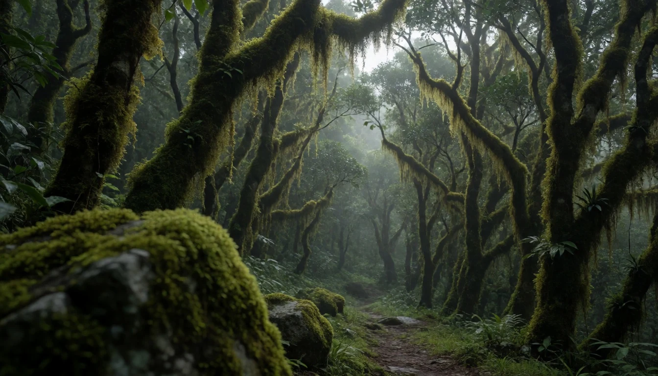
- Ambangeg Trail — Kabayan, Benguet
Considered the most accessible route, the Ambangeg trail begins at the Badabak Ranger Station in Benguet. The initial section covers the distance on a dirt road, which can be navigated by jeepney to save energy. After that, the path switches to a steady hike through the mossy forest. It is a moderate difficulty by local standards, suitable for those new to high-altitude trekking. The trail is well-trodden and maintained, making it the preferred choice for most first-time climbers aiming for the summit in the shortest time.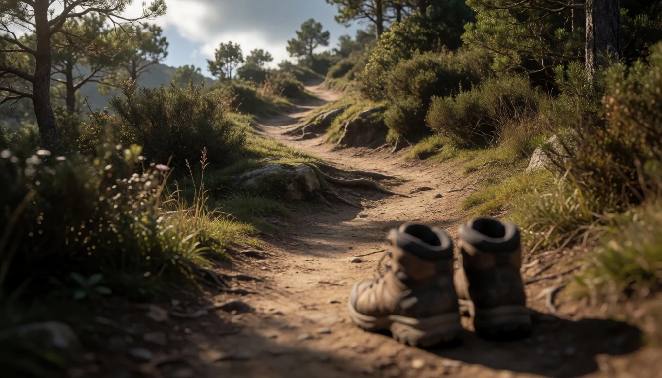
- Akiki Trail — Kabayan, Benguet
The Akiki trail is known for its steepness and ruggedness, often referred to as the 'Killer Trail' by local guides due to its relentless ascent. It starts from Akiki in the same province but remains on foot for the entire approach. The path is narrow, rocky, and demands significant physical effort. It is recommended for experienced hikers with good stamina. The views are equally stunning, but the effort is much higher. Fewer people choose this route, so the trail feels more solitary and challenging. It is a test of endurance as much as navigation.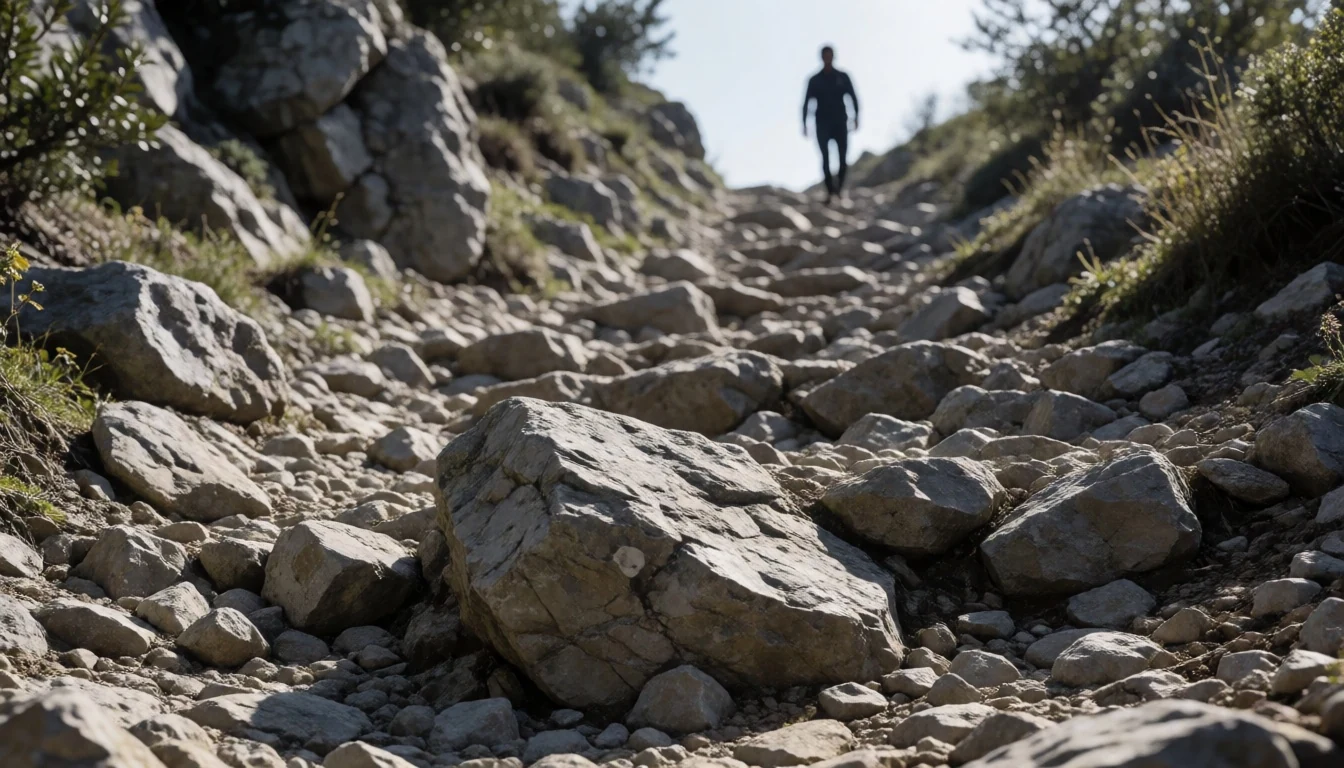
- Dwarf Cloud Rats — Ambangeg trail, high elevation
Along the higher trails, keen-eyed hikers may spot the dwarf cloud rat, a small rodent with a short, stubby tail. It is a protected species within the park, adapted to the mossy forest environment. Seeing one requires patience and quiet movement, as they are easily startled. Guides often point out their burrows or tracks on the path. The presence of these unique animals underscores the importance of the park’s conservation status. They are integral to the forest ecosystem, helping with seed dispersal. Documenting a sighting is a highlight for wildlife enthusiasts on the trail.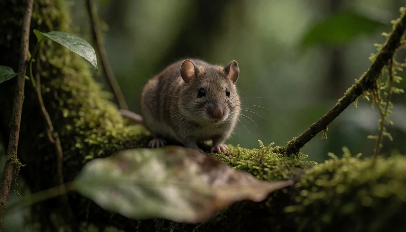
Culture
The culture surrounding Mount Pulag is deeply rooted in the traditions of the highland indigenous groups, particularly the Ibaloi and Kankanaey. For these communities, the mountain is a living entity, a place where the spiritual and physical worlds converge. The practice of mummification, documented in the Kabayan caves, is a tangible link to their ancestral beliefs, where death is seen as a transition rather than an end. Visitors to the area are expected to respect these beliefs. While the park is open to the public, it is not a theme park; it is a protected landscape with a sensitive cultural history. The local economy relies heavily on tourism, and guides play a vital role in mediating between visitors and the local community. They provide context for the flora and fauna, explaining the ecological and cultural significance of the sites. Interaction with local farmers in the foothills is also common, as the areas around the base are agricultural zones. The people here are generally warm and welcoming, but they value respect and sincerity. Visitors should be mindful of their impact, avoiding litter and sticking to marked trails to protect the fragile ecosystem. The cultural landscape is as important as the natural one, and preserving it is a shared responsibility. Etiquette is simple but crucial: dress modestly, speak quietly, and seek permission before photographing locals. This respect helps maintain the harmony that allows the mountain to remain a vital cultural and ecological site for those who call it home.
What to wear
Mount Pulag presents a distinctive climate challenge that dictates both local and visitor fashion. Traditional dress among the highland communities often features hand-woven fabrics, such as those seen in Ilocano and Ibaloi attire. Garments are typically made from cotton or mixed fibres, dyed in natural earth tones or bold patterns that signify status or region. This traditional clothing is worn for ceremonies and daily life in the cooler highlands, providing warmth without being too heavy for the activity. In contemporary times, many locals in the towns near the base have adopted standard modern clothing, favouring casual trousers, t-shirts, and jackets that suit the subpolar conditions. However, for the climb itself, the fashion shifts to rugged, functional gear. Visitors should prioritise layers: a moisture-wicking base layer, an insulating fleece or down jacket, and a windproof and waterproof outer shell. The wind at the summit can be piercing, so a hat and gloves are essential. Footwear must be sturdy, with good grip for wet rocks and uneven grass. Waterproof boots are highly recommended, as sudden rain is common. Avoid synthetic materials that retain cold once wet. The aesthetic is practical; no one judges a hiker in bright, high-visibility gear. Comfort and safety are the primary drivers of what is worn, ensuring that the cold and altitude do not become hazards.
What to eat
- Minilo and Pork Bistek — Restaurants at Badabak Ranger Station
Warm, hearty dishes like minilo (mixed vegetables) and pork bistek (beef steak with onions and tomatoes) are staples in the eateries at the base of the mountain. These meals are comforting after a long day’s walk. The restaurants around the ranger station often serve these as set lunches or dinners. The food is substantial, helping hikers recover energy. It is local cuisine tailored to the needs of those working and hiking in the cool highlands.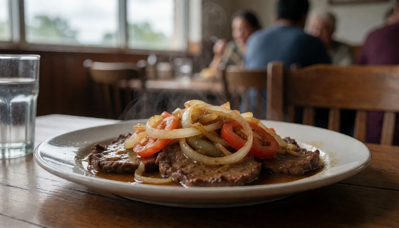
- Local Rice and Champ — Local canteens in Kapangan and Kabayan
Rice is the foundation of most meals here, often served with a soup or stew. Champ, a dish of rice cooked in water down to a porridge and mixed with toast or ground peanuts, is a popular local speciality. It is a simple, warming food that pairs well with the ambient chill. Many visitors enjoy this traditional comfort food, which is easy to digest and satisfying after physical exertion on the trails.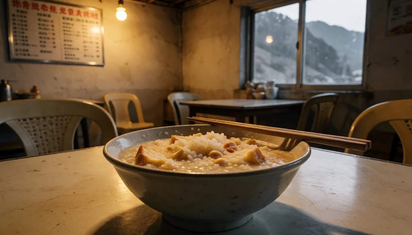
- Mountain Coffee — Stallholders and cafes at the trailheads
The highlands are known for their coffee cultivation, and freshly brewed mountain coffee is a common treat. The beans are often grown in the surrounding areas, benefiting from the cool climate and high altitude. It is a strong, robust drink that helps warm the body. Many vendors sell pre-bottled coffee, but some establishments offer freshly ground options. It is a perfect companion to the view from the summit or a rest stop in the forest. - Canned and Packaged Provisions — Supplied by the hiker from local markets
For those climbing, carrying your own food is often necessary, especially since there are no vendors along the trail. Popular choices include instant noodles, canned goods, and dense energy bars. Many hikers prepare the meals they take with them, setting a trend of self-sufficiency. The cool temperatures help keep perishables fresh for short durations. This aspect of the food culture is pragmatic, driven by the logistics of the climb rather than culinary tradition.
Plan it
Best time. December to February is the dry season, offering the clearest skies and most stable weather. April is also decent, though showers are possible, while May marks the start of the heavier rains. Avoid July to September, the rainy months, when trails become slippery and cloud cover often obscures the views.
How long. 2
Getting there. Fly into Baguio or fly to Manila and take a bound for Baguio. From Baguio, hire a jeepney or van to the Badabak Ranger Station. This final leg takes several hours and is essential to start the hike at the correct trailhead.
Budget. mid
Tips
- Book permits in advance, especially for weekend trips.
- Acclimatise to the cold; temperatures drop sharply at night.
- Carry a headlamp for the pre-dawn summit push.
- Bring plenty of water; there are no taps on the trail.
- Pack warm layers even if the day starts clear.
Etiquette
- Pack out all waste; there are no bins on the summit.
- Stay on marked trails to protect the fragile ecosystem.
- Respect local cultures and do not enter restricted areas.
Nearby
Sources
- Wikidata Q948670 (CC0)
- Wikipedia (rev 1381174408) (CC BY-SA 4.0)
- Wikivoyage (rev 5359056) (CC BY-SA 4.0)
- Photo photos/01-ph-mtpulag.jpg (CC BY 3.0)
- Photo photos/02-panoramic-shot-of-mt-pulag-summit-and-grassland.jpg (CC BY 4.0)
- Photo photos/03-pulag-s-mossy-forest.jpg (CC BY-SA 4.0)
- Photo photos/04-dwarf-cloud-rat-of-mt-pulag.jpg (CC BY-SA 4.0)
- Photo photos/05-akiki-trail-of-mt-pulag.jpg (CC BY-SA 4.0)
- Photo photos/06-agricultural-terraces-near-mount-pulag.jpg (CC BY-SA 4.0)
- Photo photos/07-alpenglow-over-the-pulag-grasslands.jpg (CC BY-SA 4.0)
- Photo photos/08-at-pulag-summit.jpg (CC BY-SA 4.0)


