Mount Pinatubo
Mount Pinatubo, Philippines
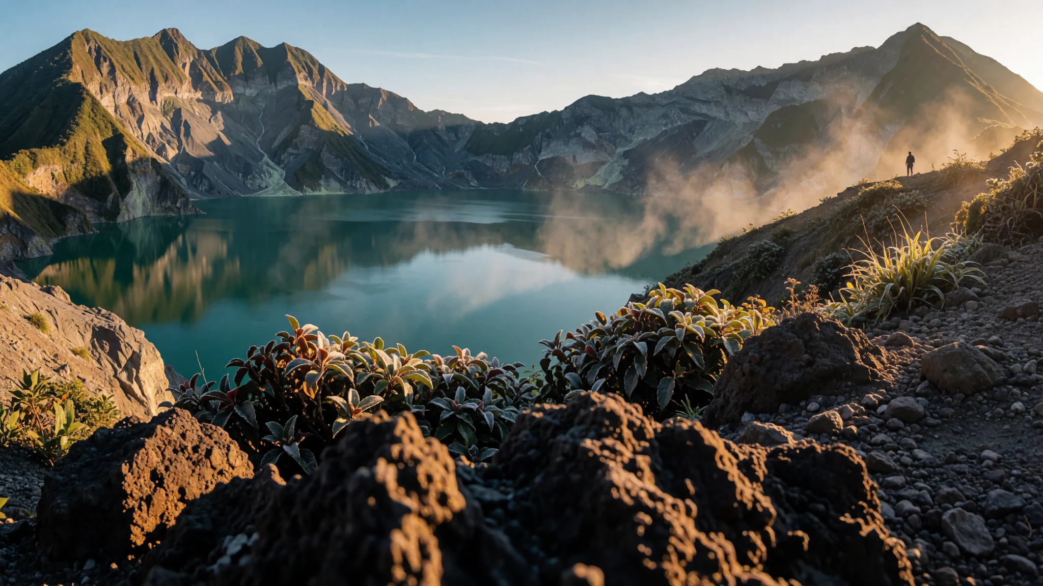
Go for a volcano with a crater lake at the top, reached by a rough drive and a steep walk, and visit in the drier months when the trails and the river crossings are most passable.
The place
Pinatubo is a working volcano rising from the Zambales range on the western side of Luzon, the main island of the northern Philippines. Its summit sits where three provinces meet, Zambales, Tarlac and Pampanga, so the mountain belongs to several local communities and councils at once. Until early 1991, very few people thought of it as a volcano at all. Its slopes were thickly forested and home to Aeta communities, and erosion had worn its outline down until it looked like one more ridge among many.
That changed in the middle of 1991. The eruption that began in June was among the largest of the twentieth century, and its effects reached far beyond the mountain itself. Ash and rain fell on nearby towns and cities, and a large evacuation before the main blast saved many lives. Today the landscape carries the marks of those months. Grey and pale deposits fill the valleys, rivers have shifted course, and the caldera now holds a lake of green-blue water. Visiting Pinatubo is less about a single summit view and more about walking through a landscape that is still reshaping itself, with the forest slowly reclaiming the ash. The area is rewarding for anyone interested in geology, and it rewards patience with a quiet, unusual kind of scenery.
Its story
Before 1991, Pinatubo was overshadowed by its neighbours. It rose only modestly above the plains and barely stood out from the peaks around it, so it attracted little attention from anyone outside the district. It belongs to the Zambales Mountains, a chain running down the western side of Luzon, and within that chain it forms part of a small sub-range alongside several smaller peaks.
Geologically, the mountains owe their existence to the Eurasian plate sliding beneath the Philippine Mobile Belt along the Manila Trench to the west. This subduction feeds magma upward and produces a line of volcanoes like Pinatubo. Nearby lies the Zambales Ophiolite Complex, a slab of ancient oceanic crust that was lifted up and now forms part of the western flank. Younger sediments from the late Miocene and Pliocene fill the valleys around the mountain.
Scientific interest in the area grew through geological surveys in the 1980s, carried out as part of earlier exploration for geothermal energy. Those studies gave little warning of what was to come. In 1991 the volcano woke up with signs of unrest in early months, and the eruption in June was one of the largest of the century. It released an enormous volume of magma and sent a vast cloud of sulfur dioxide into the stratosphere, where it spread into a global haze of sulfuric acid aerosols. Rains that followed remobilised the loose volcanic deposits into lahars, mudflows that buried towns and changed river systems for years. Smaller dome-building eruptions followed inside the caldera in 1992 and 1993.
What to see
- The crater lake — Pinatubo caldera, Zambales
The lake that fills the caldera is the destination most visitors aim for. It is reached by a long off-road drive and then a walk through ash-coloured valleys and streams, with the final approach steep in places. Ask your local guide how the water level and the trail look that season, because they change after heavy rain. The views over the bowl of the crater are the main reward, and the forest around the rim is quieter than the lowland towns.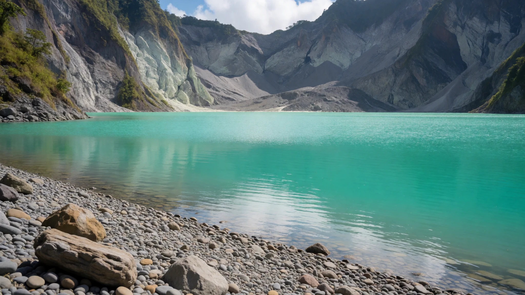
- Lookout points on the approach — Upper slopes, Pinatubo
Early morning is the best time for the wider views, before cloud builds over the peaks. Several lookouts on the way up give a clear sense of how the eruption reshaped the land, with broad grey plains of deposits running towards the coast. The air is cooler up high, but the walk is still hot in the lower sections, so start early and carry shade.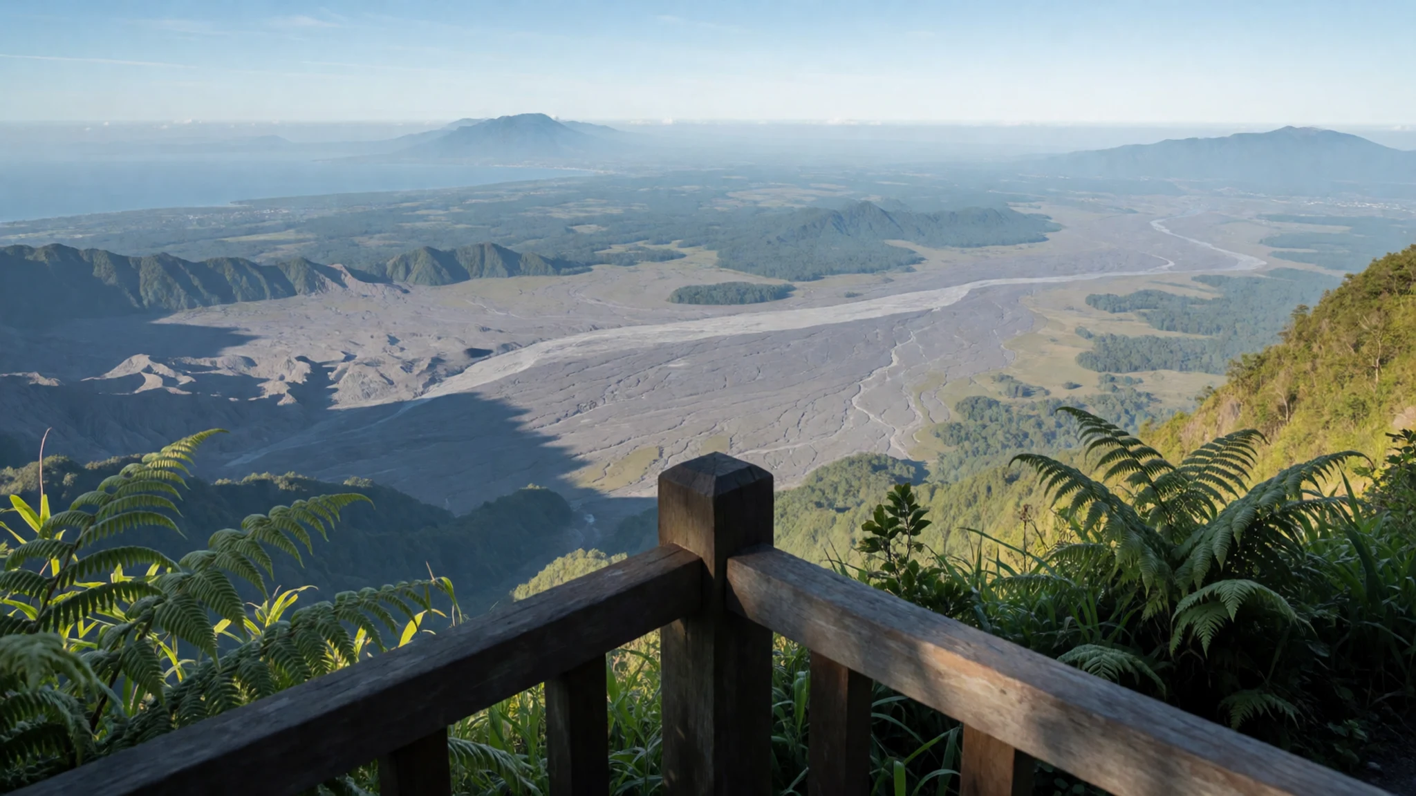
- Mount Tapulao trekking — Zambales Mountains, north of Iba
Mount Tapulao is a longer walking option for people who want a multi-day trek through forest and ridge country. Local guides are essential, as the paths are not always marked and conditions change quickly in the monsoon. Expect hard going on steep, wet ground and plan for a full day or more rather than a short outing.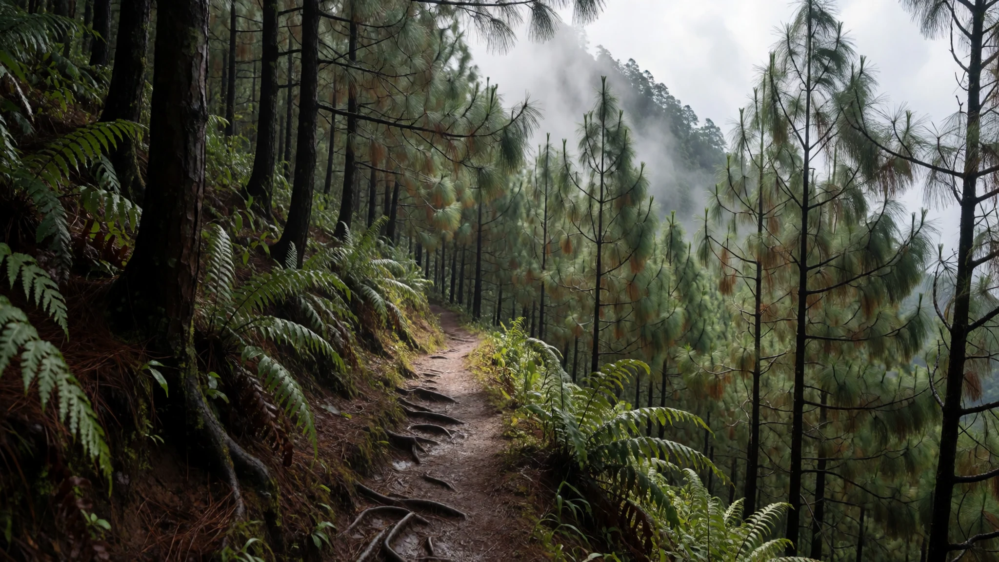
- Surfing at San Narciso — San Narciso, Zambales coast
The Zambales coast has surf breaks, and Crystal Beach Resort in San Narciso is one of the places where people come to ride the waves. Conditions vary with the season, and the monsoon months bring rougher water and heavier rain. Go in the drier months if you want a calmer sea, and ask locally about the current state of the beach, since coastal erosion has affected parts of this shoreline.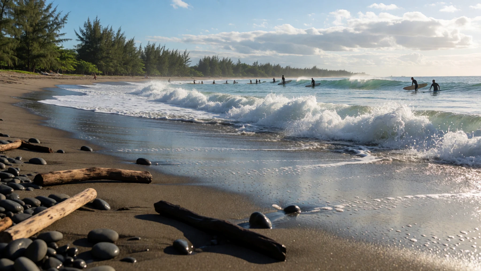
- Spanish-era churches — Botolan, Iba, Masinloc and Santa Cruz, Zambales
Botolan, Iba, Masinloc and Santa Cruz each have old churches from the Spanish period, and they make a good half-day around the province. Services and opening times change, so check locally before you go. The churches are working places of worship, so dress with some care, keep your voice low inside, and step out quietly if a service is under way.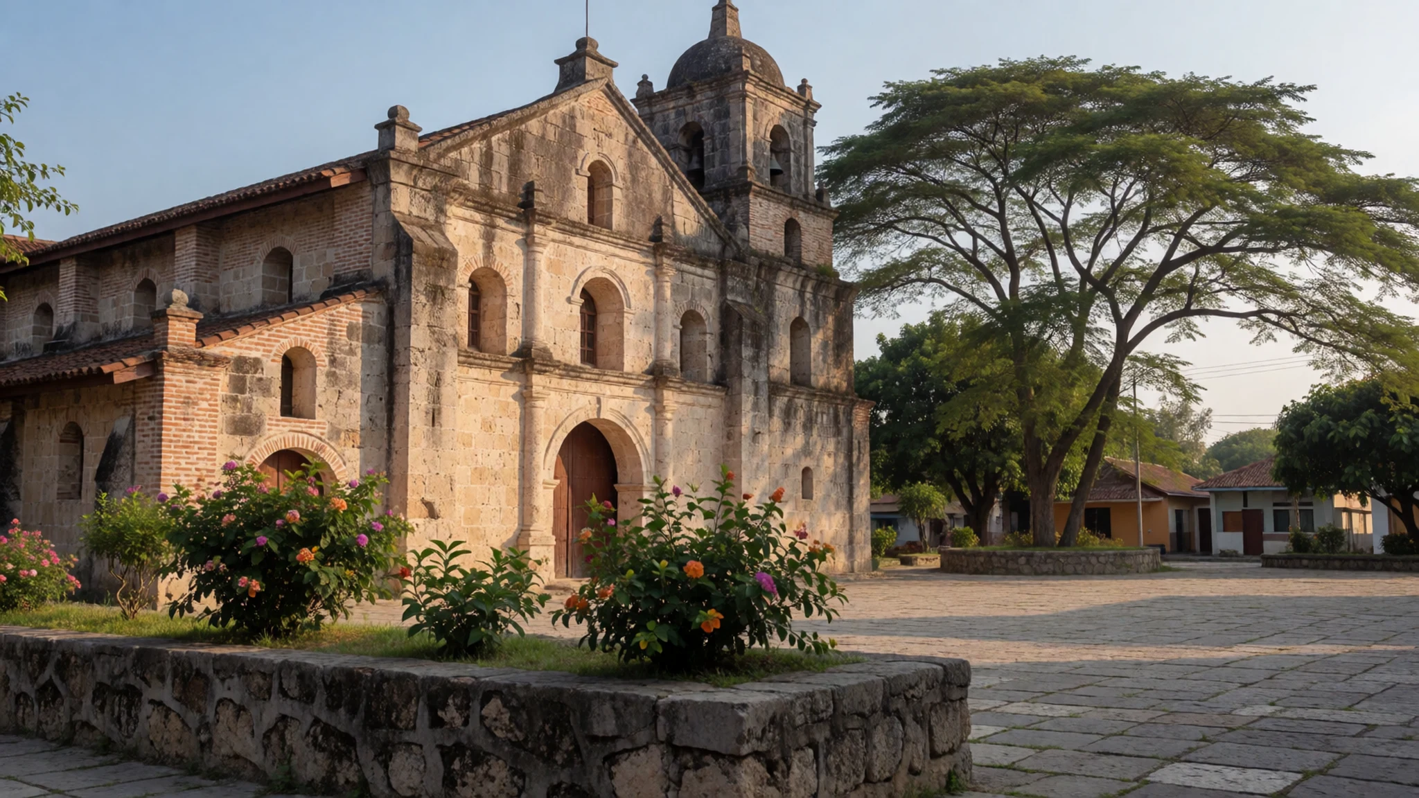
Culture
Zambales is a mix of Catholic village life, Aeta communities whose roots in these mountains go back far earlier than any town, and a steady flow of visitors heading for the coast and the volcano. Religion shapes daily rhythm here. Church bells, processions and feast days matter to many families, and Catholic churches are treated with respect, so cover shoulders and knees when you go inside. Hats come off in churches for men, and people tend to speak quietly around the altar area.
The Aeta communities deserve particular care. Many live in villages on the mountain margins and depend on forest resources, farming and guiding work, and they have faced serious disruption since 1991. Visitors who arrive through a guide tend to have a better experience than those who arrive unannounced, because the guide can introduce you properly. Greetings and conversation are welcome, but it is not polite to treat people as scenery.
Local food, music and festivals are shared openly, and people are often curious about visitors. Take that warmly, but remember that a smile and a simple question will go further than a camera pointed at someone's home. Ask before photographing people, children or houses, and accept a polite no without argument.
What to wear
Traditional dress in the Philippines is best known through the barong tagalog, a long-sleeved embroidered shirt worn by men on formal occasions, often made from piña, a fine fabric woven from pineapple leaf fibre, or from sheer jusi. Women have the terno and the baro't saya, a blouse and long skirt that show the influence of Spanish-era fashion. These outfits appear at weddings, church celebrations and cultural events rather than in everyday wear. Aeta communities have their own traditions of dress and adornment, which are better learned from the communities themselves than described from a distance.
Day to day in Zambales, people dress for heat and practicality. Many men wear shirts and shorts or long trousers, and many women wear sundresses, blouses and jeans, with more modest clothing in towns and churches. Flip-flops are common in town, though not on steep ground.
For a visit, wear loose clothes in light fabric that dry quickly. Long trousers protect your legs from scrub and insects on the trail, and sturdy closed shoes or trail sandals with good grip are essential on wet ash. Bring a hat, sunglasses and a light rain layer from June to October. Cover your shoulders and knees for churches, and choose modest swimwear for public beaches outside resorts.
What to eat
- Adobo — Any turo-turo counter in Olongapo or Iba, where dishes are displayed in trays
Chicken or pork simmered in vinegar, soy sauce, garlic and bay leaves is the national dish most people reach for first. Each household and cook has a version, some sour, some sweet, some dry and some saucy. It is served with steamed rice in almost any eatery, and it travels well for a lunch on the trail.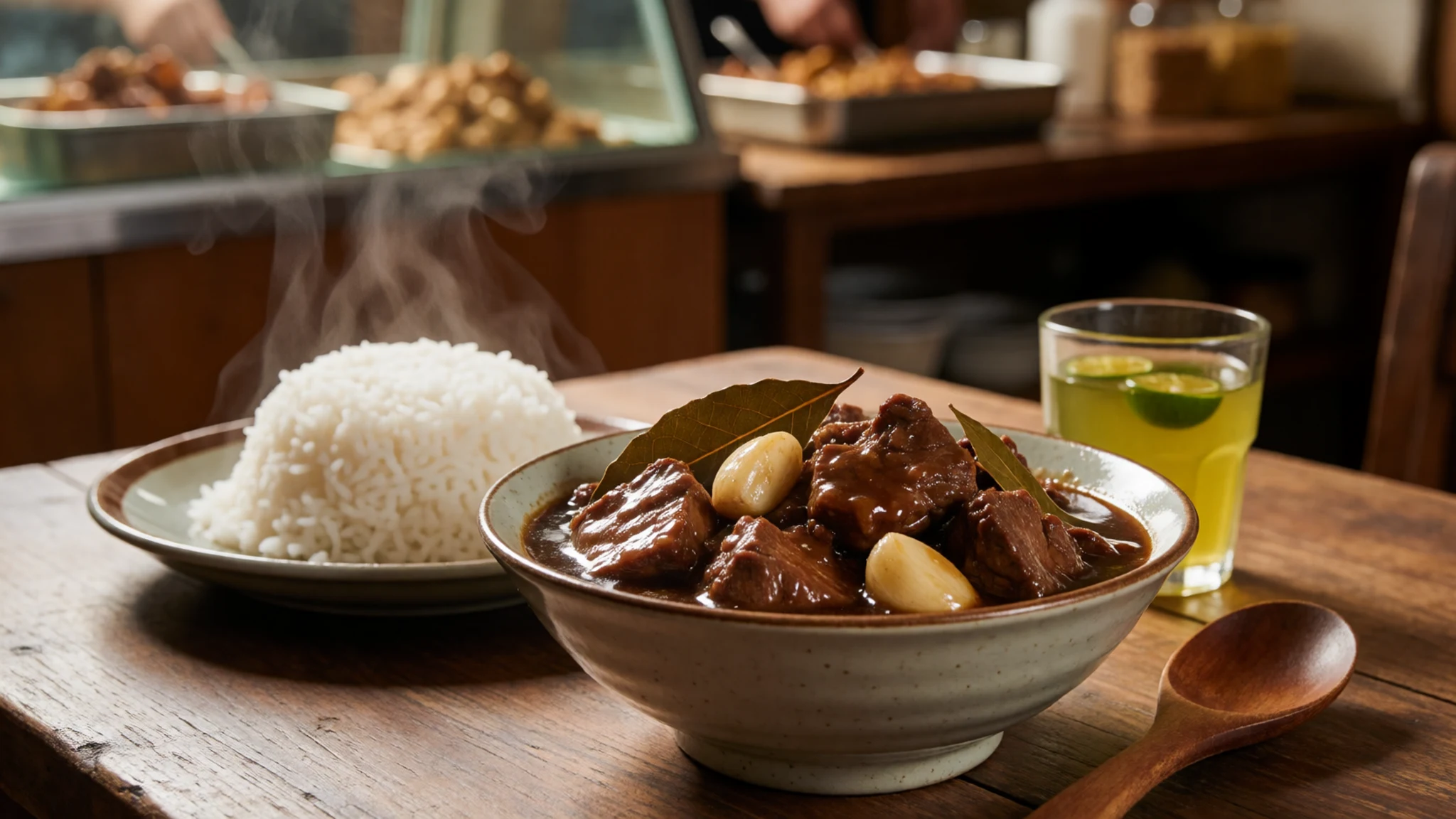
- Sinigang — Family-run eateries around the public market in Iba
A sour soup built on tamarind or a similar souring agent, usually with pork, prawns or fish and a pile of vegetables. It is a comfort food that appears in home kitchens and modest family eateries, and it pairs well with rice after a long walk.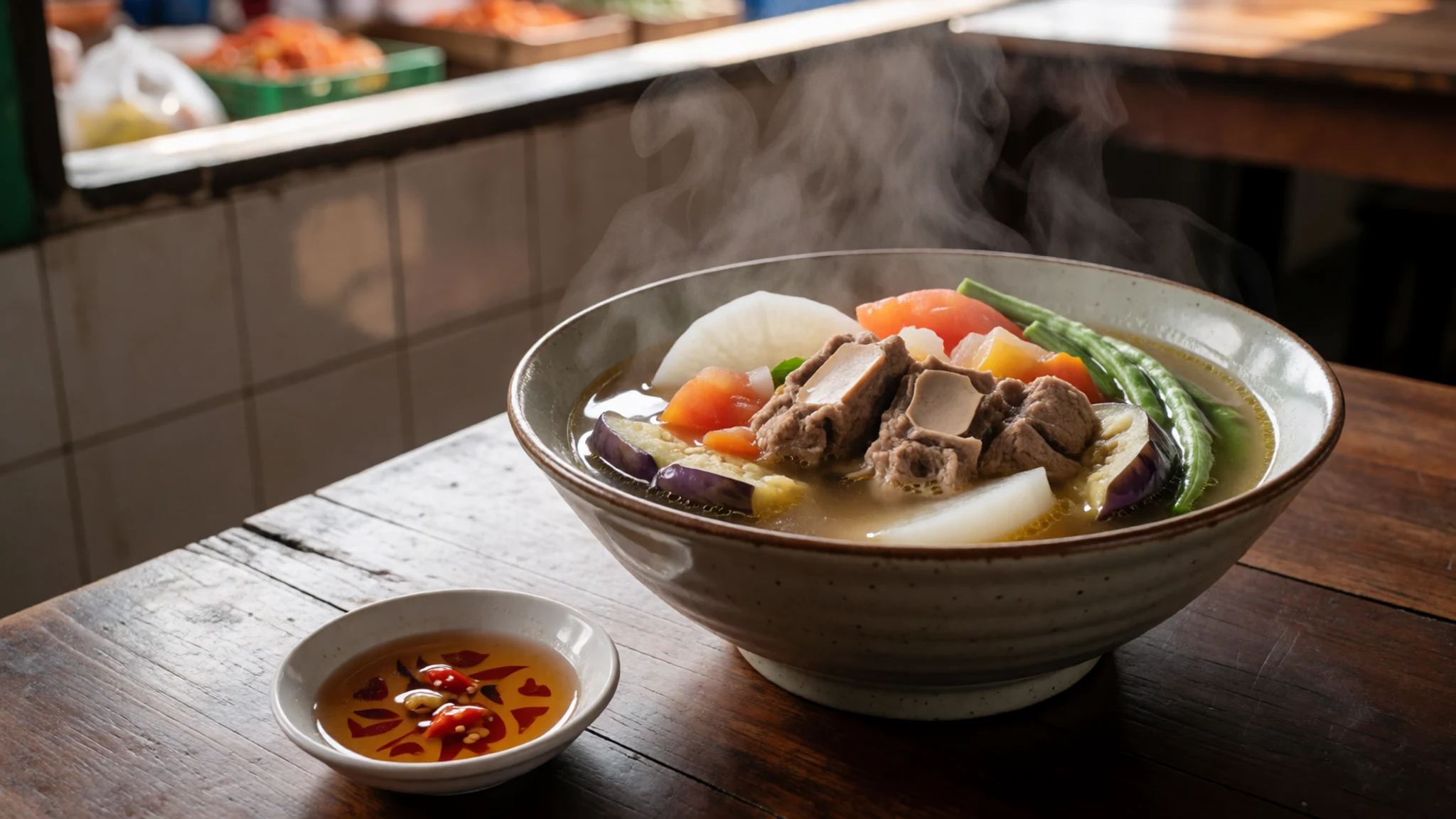
- Grilled fish and seafood — Beachfront eateries and roadside stalls on the coast at San Narciso and San Felipe
Coastal towns serve fish grilled over charcoal, often with a sharp dipping sauce made from vinegar, chilli and garlic. The fish is usually bought fresh that morning, so the best plates come from places that cook quickly and serve a simple table of rice and vegetables. - Kare-kare — Restaurants and home-style eateries in the Pampanga towns near Clark
A rich stew of oxtail or tripe thickened with ground peanuts and served with a salty shrimp paste on the side. It is a celebration dish from Pampanga, the province that borders the volcano, and it is often found at family gatherings and on the menus of good local restaurants. - Halo-halo — Merienda stalls and snack counters near the markets and bus terminals
Shaved ice layered with sweet beans, jelly, fruit, condensed milk and a scoop of ice cream, mixed together before eating. It is the classic way to cool down after the heat of a trail or a long bus ride, and you will see it advertised at most merienda stalls.
Plan it
Best time. November to February are the drier months, when trails are firmer and the risk of lahar flows and mudslides is lower. The wet monsoon runs from June to October, bringing heavy rain, mudslides and lahar flows to places like San Marcelino, Cabangan, San Narciso, San Felipe and Botolan, so this is the time to avoid the volcano unless you have a local guide and a clear forecast.
How long. 2–3
Getting there. Fly into Manila, then take a bus from the Pasay terminal on EDSA to Iba, the provincial capital, allowing around five hours depending on traffic. Victory Liner also runs services from several Manila terminals to Olongapo, and you can transfer there to a bus for Iba or Santa Cruz. Clark is an option too, reached through the Subic-Clark-Tarlac Expressway. For the last leg to the volcano, hire a local 4x4 with a guide from the nearest town.
Budget. mid
Tips
- Book a registered local guide and a 4x4 through a community or local operator before you travel, rather than trying to arrange it on the day.
- Start early, as the trail and the views are usually clearer before afternoon cloud and heat build up.
- Check current volcano bulletins and road conditions before you set out, and be ready to change plans quickly.
- Carry cash for tricycles, guides, small stalls and fuel top-ups, since card payments are rare in the mountains.
- Bring plenty of water, sun cover and a light rain layer, and allow extra time on the expressways because traffic around Manila is chronic.
Etiquette
- Ask before photographing people, children or their homes, especially in Aeta communities.
- Take all rubbish back down with you, and keep to marked paths and the lake edges your guide points out.
- Dress modestly in churches and when visiting villages, and keep your voice low inside church buildings.
Nearby
Sources
- Wikidata Q1451 (CC0)
- Wikipedia, Mount Pinatubo (rev 1382832101) (CC BY-SA 4.0)
- Wikivoyage, Zambales (rev 5378891) (CC BY-SA 4.0)
- Mt Pinatubo trekking, Sindre Helvik, via Wikimedia Commons (CC BY 3.0)
- Carta Hydrographica y Chorographica de las Yslas Filipinas, Pedro Murillo Velarde, via Wikimedia Commons (Public domain)
- Mount Pinatubo Relief Map, SRTM-1, via Wikimedia Commons (Public domain)
- Philippine Island - Luzon Island - NARA - 68156975, via Wikimedia Commons (Public domain)
- Pinatubo91eruption plume, Dave Harlow, USGS, via Wikimedia Commons (Public domain)
- Eruption of Mount Pinatubo, June 15, 1991, NOAA/NGDC, via Wikimedia Commons (Public domain)
- Mount Pinatubo 20081229 01, ChrisTomnong, via Wikimedia Commons (CC BY 3.0)
- Mount Pinatubo 6, Neureiter, via Wikimedia Commons (CC BY-SA 1.0)


